The best walks and hikes around Oberstadtfeld
4.4
(360)
1,184
hikers
13
hikes
Hiking around Oberstadtfeld offers access to the diverse landscapes of the Volcanic Eifel region in Germany. The area is characterized by volcanic cones, maars, dense forests, and rolling hills. The village is situated in the valley of the Kleine Kyll river, providing varied terrain for outdoor activities. This geological setting includes ancient lava flows and rich fossil deposits, contributing to a distinct natural environment.
Best hiking trails around Oberstadtfeld
- The most popular hiking route is Picnic Area by the Kleine…
Last updated: August 21, 2026
4.1
(9)
27
hikers
Easy hike. Great for any fitness level. Easily-accessible paths. Suitable for all skill levels.
4.2
(9)
30
hikers
6.70km
01:54
150m
150m
Easy hike. Great for any fitness level. Easily-accessible paths. Suitable for all skill levels.

Sign up for free
5.0
(6)
15
hikers
5.72km
01:39
150m
150m
Easy hike. Great for any fitness level. Easily-accessible paths. Suitable for all skill levels.
5.0
(3)
12
hikers
8.66km
02:27
190m
190m
Moderate hike. Good fitness required. Easily-accessible paths. Suitable for all skill levels.
4.8
(5)
19
hikers
3.66km
01:01
70m
70m
Easy hike. Great for any fitness level. Easily-accessible paths. Suitable for all skill levels.
Get access to more routes and recommendations from other explorers.
Sign up for free
Already have an account?
Our route recommendations are based on thousands of hikes, rides, and runs completed by other people on komoot.
Start today with a free account
Your next adventure awaits.
Login or Signup
Tips from the Community


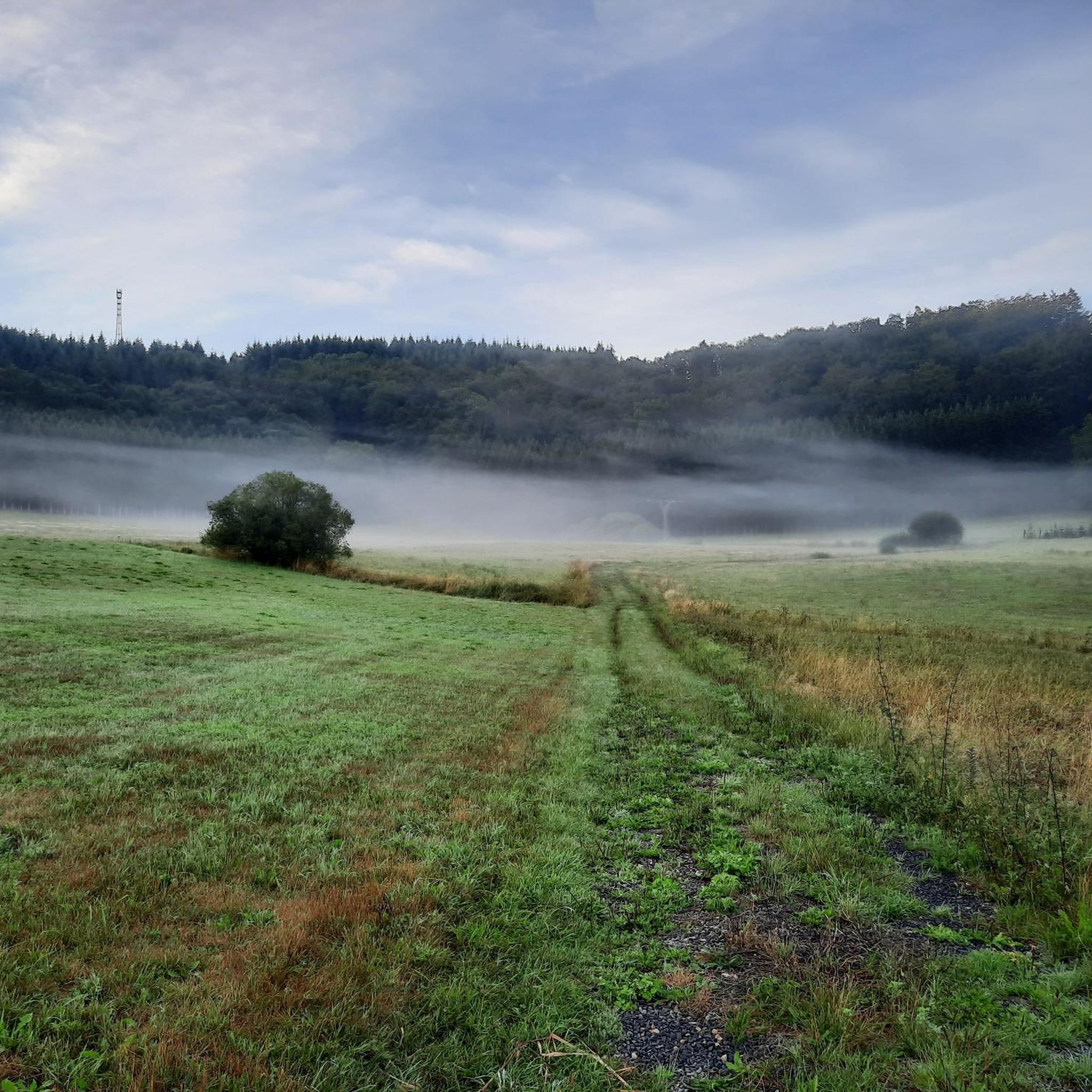
Part of the Eifelsteig stage 10 (We walked in the opposite direction from Daun to Gerolstein) https://youtu.be/WbZPDkNhidQ
0
0
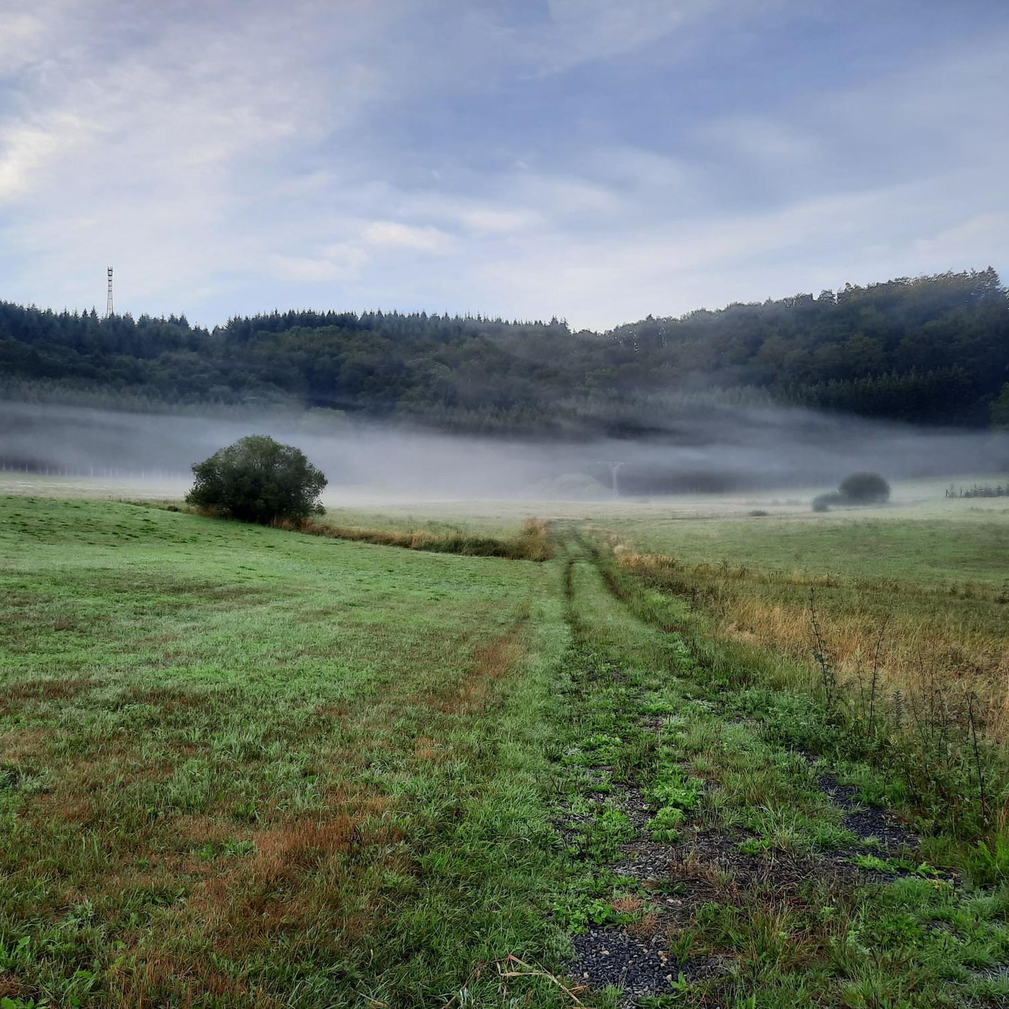
Part of the Eifelsteig stage 10 (We walked in the opposite direction from Daun to Gerolstein) https://youtu.be/WbZPDkNhidQ
0
0
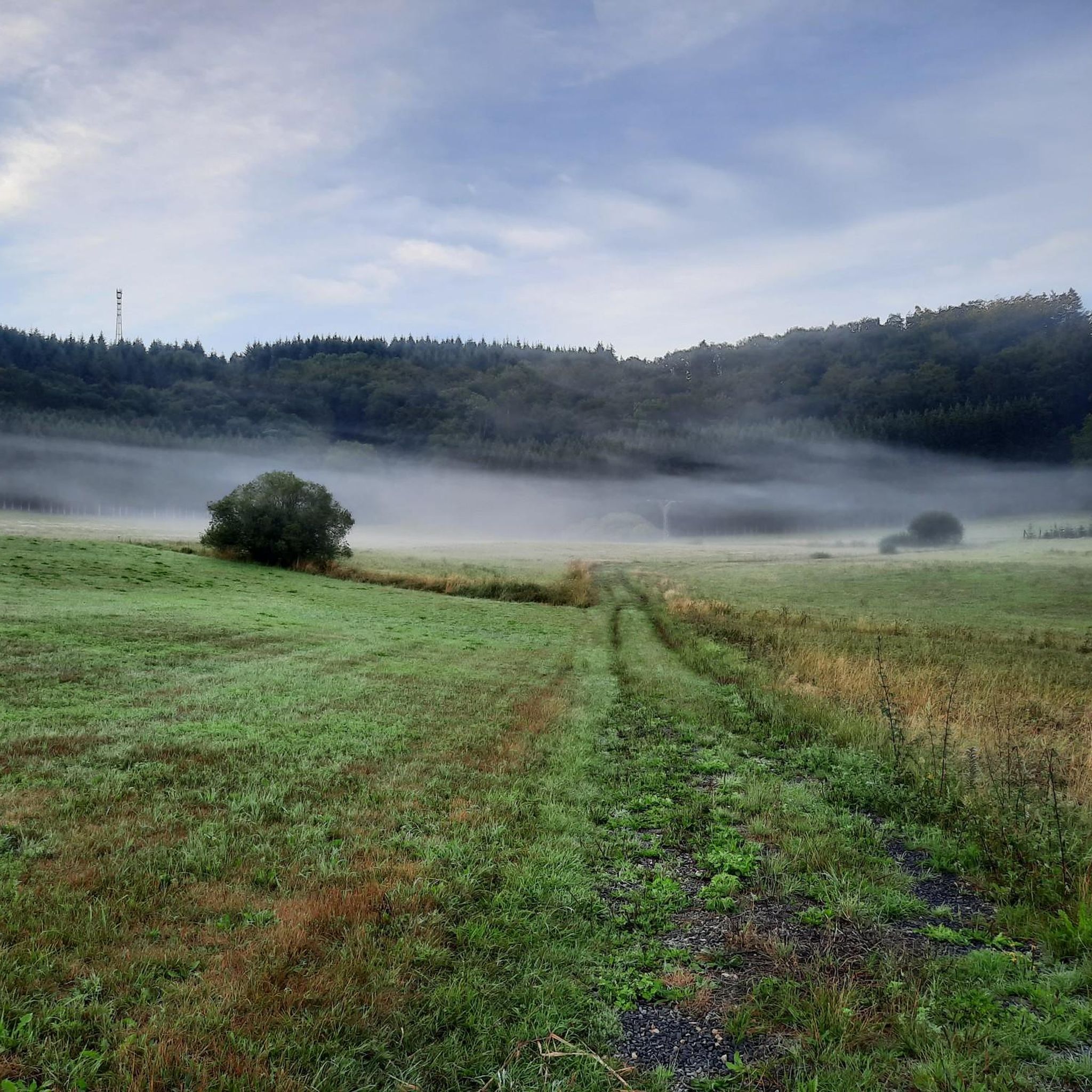
Part of the Eifelsteig stage 10 (We walked in the opposite direction from Daun to Gerolstein) https://youtu.be/WbZPDkNhidQ
0
0

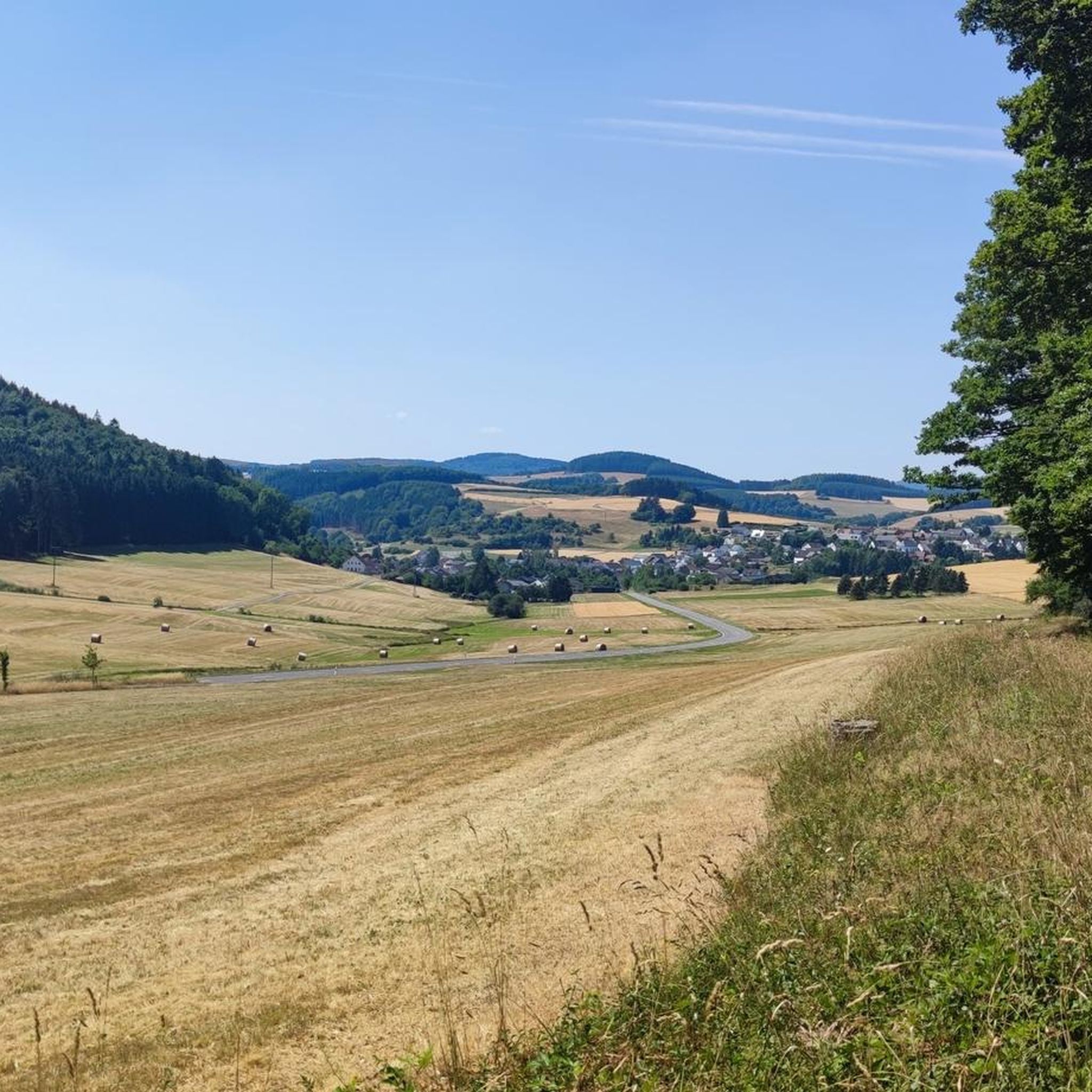
Very nice foresight and bank where you can rest
1
0

Benches to linger can be visited here above Oberstadtfeld and invite you to look far over the town and far beyond.
0
0
Very well maintained fruit trees surrounding the sign. The hunting tenant was given a few fruit trees as a wedding present by friends and guests, which were planted here in autumn 2012.
0
0

This pretty rest area on the banks of the Kleine Kyll invites us to linger. If the two benches are occupied, you can, if necessary, sit on the nearby boulders.
1
0
Frequently Asked Questions
What types of hiking trails can I find in Oberstadtfeld?
Oberstadtfeld offers a variety of hiking trails, ranging from easy walks along river valleys to moderate routes through forests and across rolling hills. The landscape is characterized by its volcanic features, including ancient cones and maars, providing diverse scenery. There are 12 routes listed in komoot, with 9 being easy and 3 considered moderate.
Are there any easy, family-friendly hiking routes in Oberstadtfeld?
Yes, Oberstadtfeld has several easy routes suitable for families. For instance, the Kleine Kyll Wooden Bridge loop from Oberstadtfeld is an easy 6.7 km path offering views of the volcanic landscape. Another option is the Picnic Area by the Kleine Kyll – Kleine Kyll Wooden Bridge loop from Neroth, which is 6.6 km and follows the Kleine Kyll river.
Can I find circular hiking routes in the Oberstadtfeld area?
Yes, the region is well-suited for circular hikes. The municipality has designated several circular routes, including the 14.8 km "1000-year-old trail" (1000-jähriger Weg) which is mostly off-asphalt and leads through forests and meadows around Oberstadtfeld and Niederstadtfeld. A moderate option is the 1000-Year-Old Path – Great Spruce loop from Oberstadtfeld, an 8.7 km trail through forests and meadows.
What are some notable natural attractions or viewpoints to see while hiking?
The Volcanic Eifel region around Oberstadtfeld is rich in natural attractions. You can visit maars like the Schalkenmehrener Maar or enjoy the View of the Gemünden maar. For panoramic views, consider hiking to the Dronke Tower on the Mäuseberg, which offers magnificent vistas over the maars and surrounding area. The View of Gerolstein from the Munterley is another excellent viewpoint.
Are there any historical or cultural landmarks accessible by hiking trails?
Yes, the area combines natural beauty with historical sites. The prominent Nerother Kopf features the medieval castle ruin called Freudenkoppe, offering wide panoramic views. You can also find the Martins Cave and Buchenloch Cave in the vicinity, which are interesting natural and historical points of interest.
What is the best time of year to go hiking in Oberstadtfeld?
The best seasons for hiking in Oberstadtfeld are generally spring and autumn. During spring, nature flourishes with vibrant greenery, while autumn offers stunning displays of colorful foliage. These seasons typically provide pleasant temperatures for outdoor activities.
What do other hikers say about the trails in Oberstadtfeld?
The hiking routes in Oberstadtfeld are highly rated by the komoot community, with an average score of 4.4 stars from over 260 reviews. More than 1000 hikers have used komoot to explore the area, often praising the diverse terrain, well-marked paths, and the unique volcanic landscapes.
Are there any routes that follow a river or offer waterside views?
Yes, the village lies in the valley of the Kleine Kyll river, which provides refreshing opportunities and serves as a starting point for nature-oriented hikes. The By the Kleine Kyll loop from Oberstadtfeld is a 4.9 km easy route that follows the river, offering pleasant waterside views.
Are there any longer distance trails that pass through or near Oberstadtfeld?
Yes, the renowned Eifelsteig long-distance hiking trail and its feeder paths pass through the area. The tenth stage of the Eifelsteig, leading from Gerolstein to Daun, features challenging ascents like the Nerother Kopf. Additionally, the Lieserpfad Hiking Trail winds through the romantic Lieser valley, showcasing diverse natural scenery.
Are there any short, easy walks for a quick outing?
For a shorter and easier walk, you can consider the View of Oberstadtfeld loop from Oberstadtfeld. This route is approximately 2.9 km long and is rated as easy, making it suitable for a quick and enjoyable outing with views of the village.
Most popular routes around Oberstadtfeld
Most popular attractions around Oberstadtfeld

Get inspired with the komoot mobile app


Explore more
Browse the best Hikes in other regions.
