The 5 Most Amazing Peaks in the Santa Clara Mountains
Best mountain peaks in the Santa Clara Mountains encompass a diverse landscape, offering various notable peaks across the region. These mountains provide opportunities for exploration and offer distinct features for visitors. The area is characterized by its natural terrain, making it a destination for those seeking outdoor experiences.
Best mountain peaks in the Santa Clara Mountains
- The most popular mountain peaks is Chicoma Mountain, a summit that stands at an elevation of 11,561 feet and is an extinct supervolcano.…
Last updated: July 8, 2026
Saint Peter's Dome
Highlight • Summit
Tip by

Chicoma Mountain
Highlight • Summit
Tip by
Sign up now to discover places like this
Get recommendations on the best single tracks, peaks, & plenty of other exciting outdoor places.
Sign up for free
Boundary Peak
Highlight • Summit
Tip by

Guaje Mountain
Highlight • Summit
Tip by

Start today with a free account
Your next adventure awaits.
Login or Signup
Popular around Santa Clara Mountains

Bikepack in America's southwest – deserts, cacti and Anasazi culture
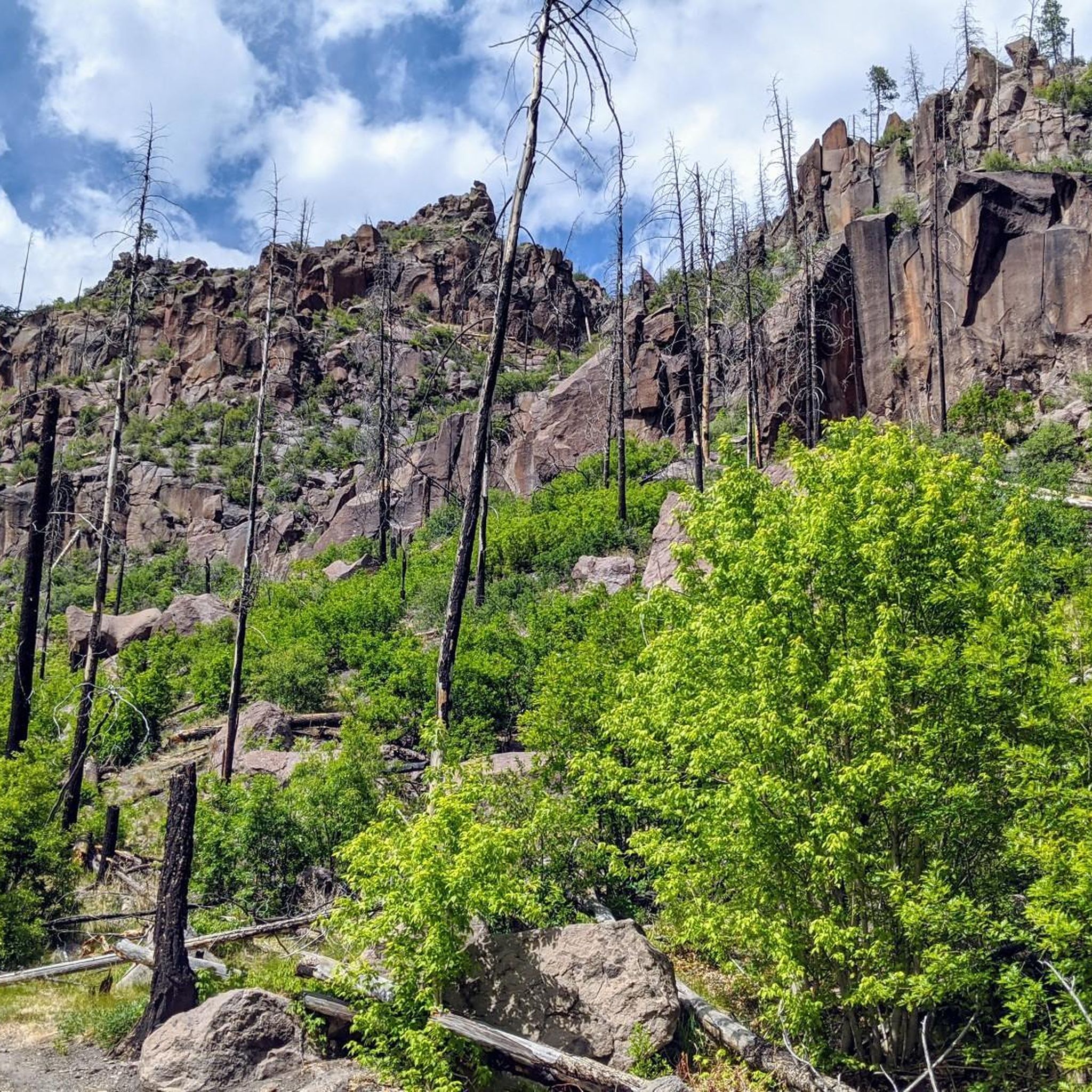
Hiking in the Santa Clara Mountains
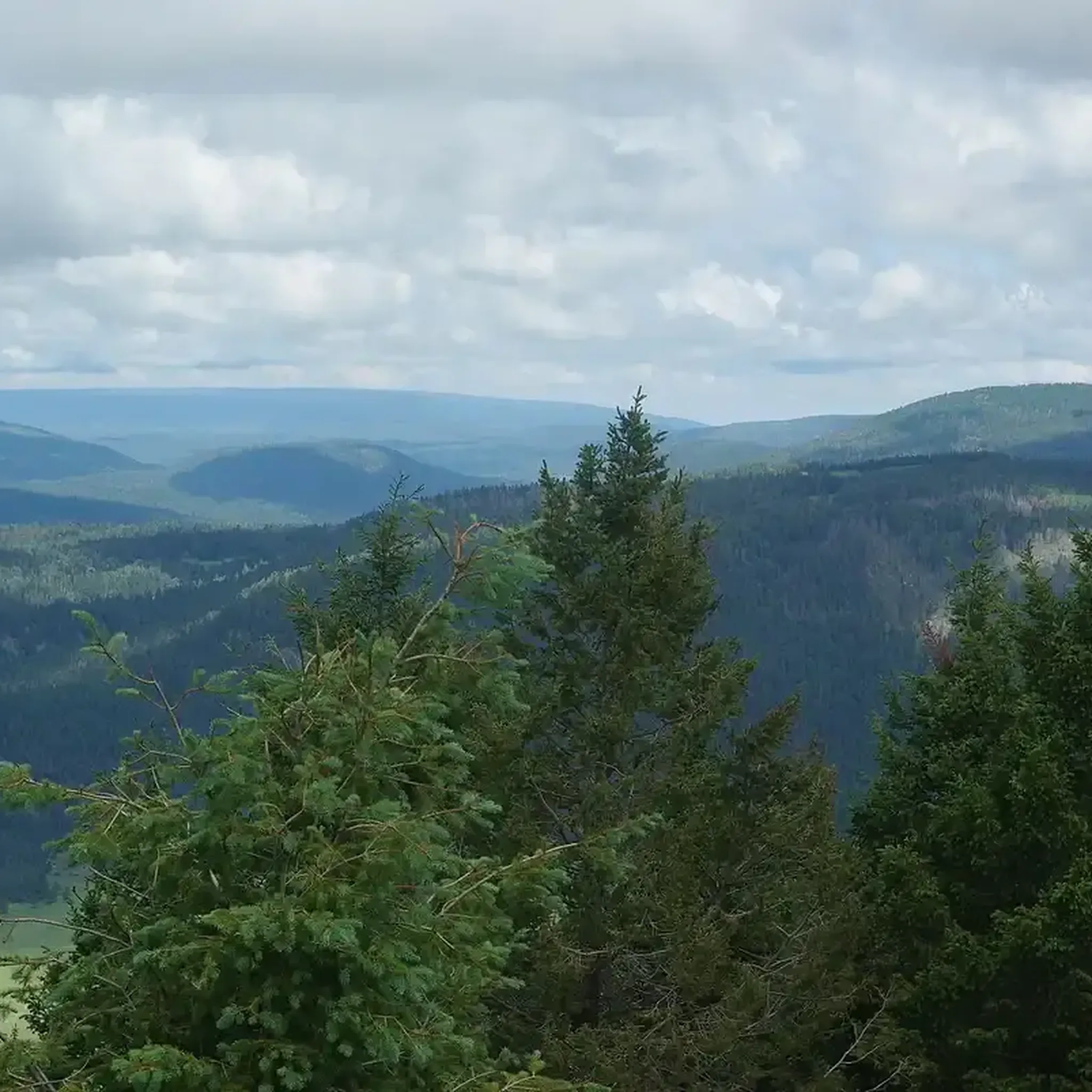
Running Trails in the Santa Clara Mountains
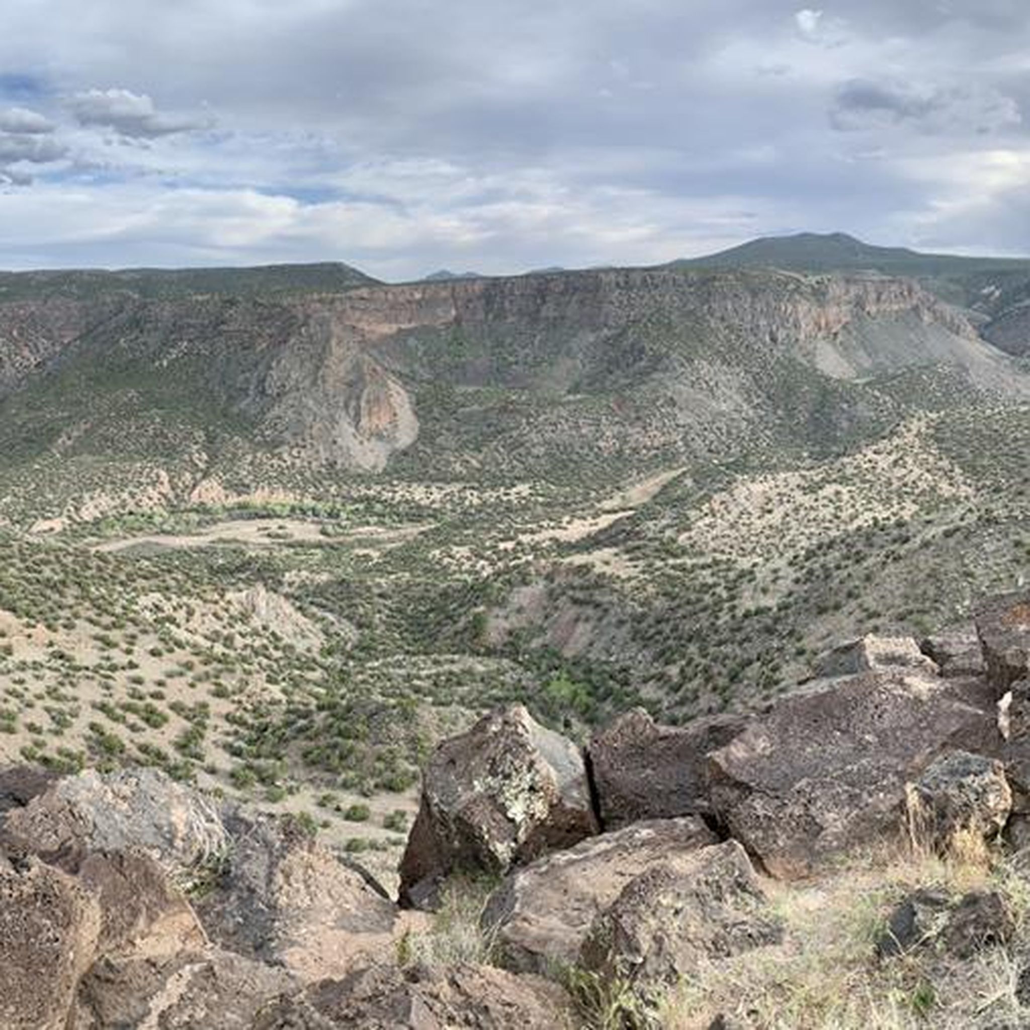
MTB Trails in the Santa Clara Mountains
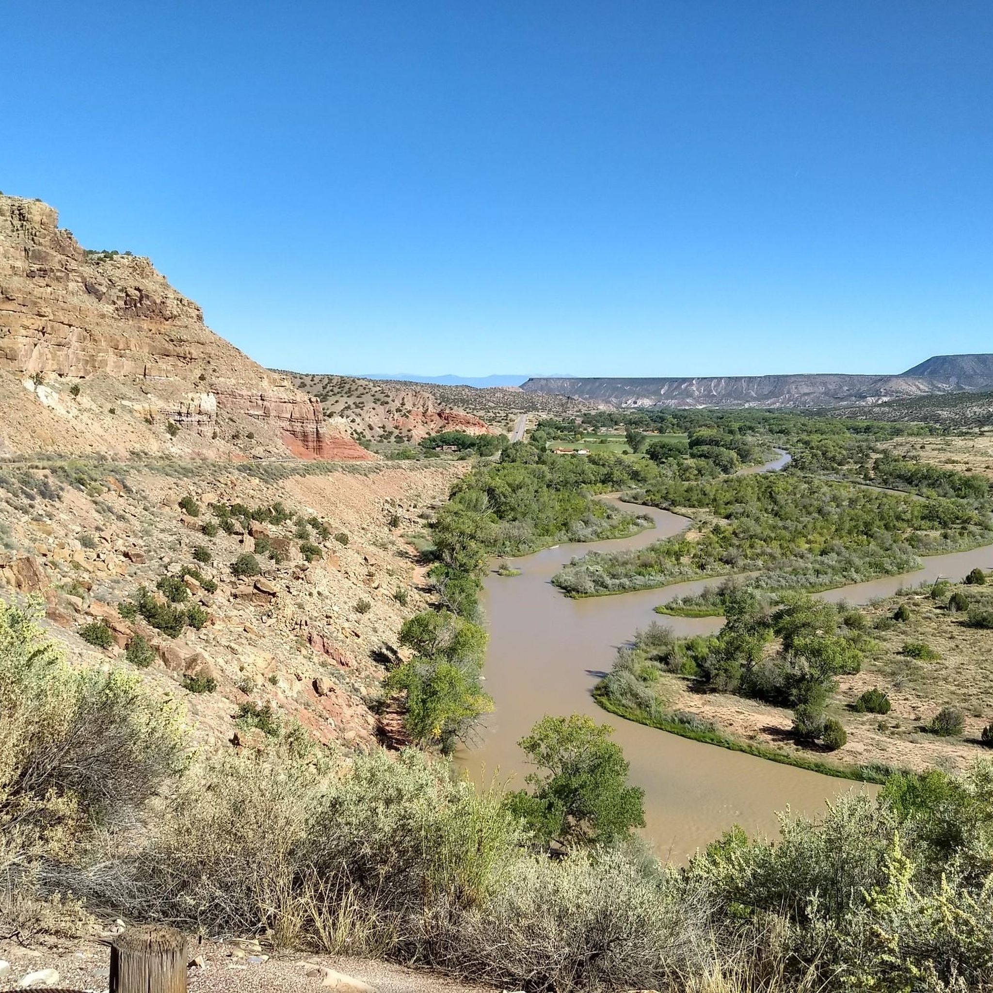
Cycling in the Santa Clara Mountains
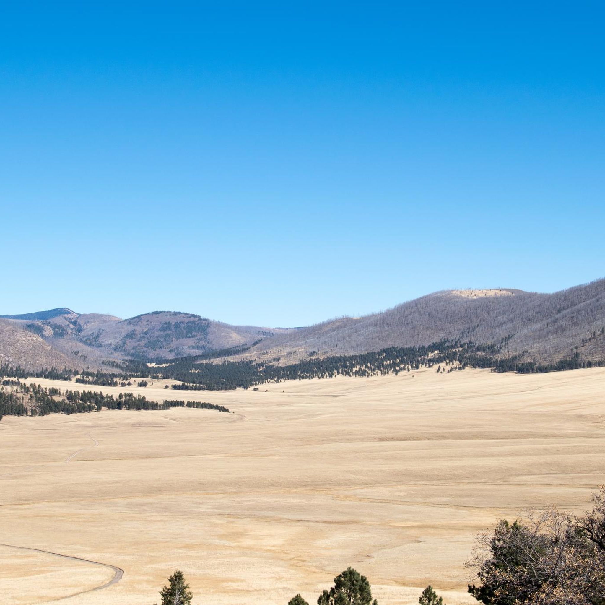
Road Cycling Routes in the Santa Clara Mountains
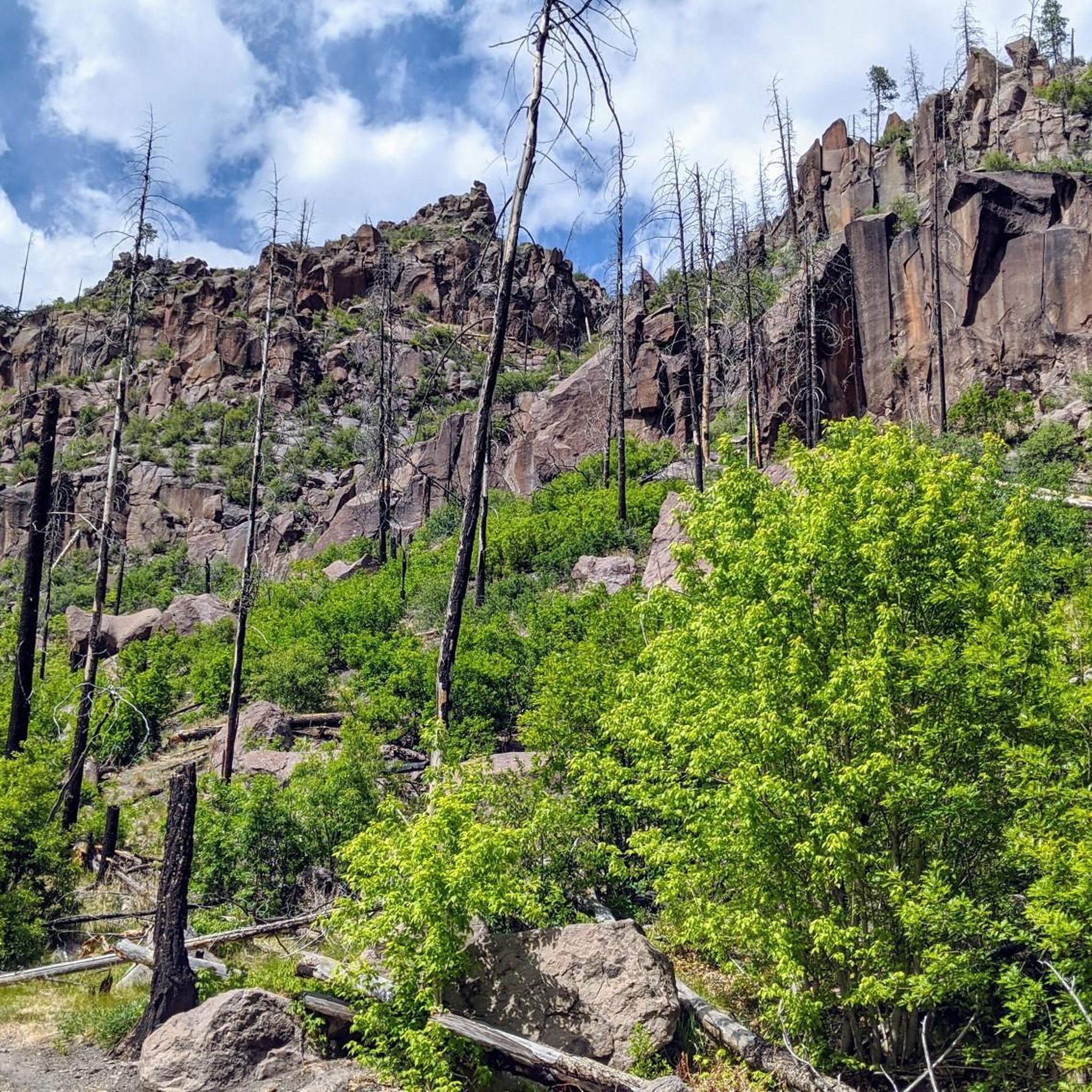
Gravel biking in the Santa Clara Mountains
Other adventures in the Santa Clara Mountains

Tips from the Community

Saint Peter's Dome can be reached in a few ways. The shorter way is: park at the Dome Trailhead Parking Lot and run on Saint Peter's Dome Road, a 4.3-mile round trip to the top of Saint Peter's Dome. The longer way is: park on FR289 Dome LO Road, and wind through the Dome Wilderness on Saint Peter's Dome Trail, 11.2 miles round trip. The top of Saint Peter's Dome has expansive views of the desert and a fire lookout marking the top.
0
0

Boundary Peak is located at the boundary of Bandelier National Monument. To get here, start at the Dome Trailhead, but keep in mind that it is not accessible from January through mid-April due to seasonal road closures.
0
0
Chicoma Mountain stands at an elevation of 11,561 feet and is an extinct supervolcano. It is the highest mountain in the Jemez Mountains range, and the trail getting to the top can be tricky to follow, so bring the appropriate navigation tools. Sometimes at the summit, near the geological survey marker, there is a rock cairn. The cairn is where Pueblo people leave traditional offerings, so respectfully do not move any objects resting at the top of the mountain.
0
0
Saint Peter's Dome can be reached in a few ways. The shorter way is: park at the Dome Trailhead Parking Lot and hike on Saint Peter's Dome Road, a 4.3-mile round trip to the top of Saint Peter's Dome. The longer way is: park on FR289 Dome LO Road, and wind through the Dome Wilderness on Saint Peter's Dome Trail, 11.2 miles round trip. The top of Saint Peter's Dome has expansive views of the desert and a fire lookout marking the top.
0
0

Guaje Mountain is a 7589 foot peak northeast of Los Alamos. This open, grassy summit is a great challenge close to town that affords sweeping views of Los Alamos and the surrounding area.
0
0
Boundary Peak is located at the boundary to Bandelier National Monument. To get here, start at the Dome Trailhead, but keep in mind that is not accessible from January through mid-April due to seasonal road closures.
4
0
Frequently Asked Questions
What are some of the most prominent mountain peaks in the Santa Clara Mountains?
The Santa Clara Mountains feature several notable peaks. Mount Hamilton, at 4,265 feet, is home to the Lick Observatory and offers panoramic views from the Pacific Ocean to the Sierra Nevada. Copernicus Peak is the highest point in Santa Clara County, reaching over 4,370 feet. Other significant peaks include Loma Prieta, the highest in the Santa Cruz Mountains, and Mount Umunhum, known for its 360-degree views and cultural significance.
Which mountain peaks offer the best panoramic views in the Santa Clara Mountains?
For expansive panoramic views, consider visiting Mount Hamilton, where you can see from the Pacific Ocean to the Sierra Nevada on clear days. Copernicus Peak, being the highest point, also provides similarly impressive vistas. Mount Umunhum is another excellent choice, offering 360-degree views stretching from the Pacific Ocean to the Sierra Nevada, with car access to the summit parking area.
Are there any mountain peaks with historical or cultural significance in the Santa Clara Mountains?
Yes, Mount Hamilton is historically significant as the home of the Lick Observatory, the world's first permanently occupied mountain-top observatory. Mount Umunhum holds deep cultural significance for the Native American community and played a role in the West Coast's air defense system from the late 1950s to 1980.
What are the accessibility options for reaching the summits of these peaks?
Access varies by peak. Mount Hamilton is accessible via the winding 19-mile Mount Hamilton Road (State Route 130), popular with cyclists and motorcyclists. For Mount Umunhum, access to the summit parking area is available by car, making it suitable for all ages and abilities. Other peaks like Black Mountain and Mount Sizer are primarily reached via hiking trails.
What kind of outdoor activities can I do near the mountain peaks in the Santa Clara Mountains?
The region offers a variety of outdoor activities. You can find excellent cycling routes, including moderate to difficult options like the Juniper Campground loop. For those who enjoy gravel biking, there are challenging loops such as the Cerro Piñon – View of Redondo Peak loop. Additionally, you can explore waterfall hikes, with easy trails like Jemez Falls Trail available.
Are there challenging hiking experiences available in the Santa Clara Mountains?
Yes, for a demanding experience, Mount Sizer within Henry W. Coe State Park offers significant elevation gain, including a section known as 'The Shortcut,' one of the steepest trails in the Bay Area. The hike to Chicoma Mountain is also considered challenging, with a trail that can be tricky to follow, requiring appropriate navigation tools.
Which peaks are popular for hiking and mountain biking?
Black Mountain, situated on Monte Bello Ridge, is a popular destination for both hikers and mountain bikers. It offers breathtaking views of the Santa Cruz Mountains and Silicon Valley, along with opportunities for backpacking.
What unique natural features can be found among the Santa Clara Mountains peaks?
Chicoma Mountain is notable as an extinct supervolcano and the highest mountain in the Jemez Mountains range. The area around Loma Prieta provides diverse terrain and insights into the Santa Cruz Mountains' chaparral cover. Many peaks, including Saint Peter's Dome and Boundary Peak, are designated natural monuments.
What should I know about visiting Saint Peter's Dome?
Saint Peter's Dome offers expansive desert views and a fire lookout at its summit. You can reach it via a shorter 4.3-mile round trip from the Dome Trailhead Parking Lot or a longer 11.2-mile round trip winding through the Dome Wilderness from FR289 Dome LO Road.
Are there any seasonal considerations for visiting certain peaks?
Yes, for Boundary Peak, which is located at the boundary to Bandelier National Monument, access from the Dome Trailhead is not available from January through mid-April due to seasonal road closures. Always check local conditions before planning your trip.
What makes Mount Sizer a unique hiking destination?
Mount Sizer, located in Henry W. Coe State Park, is known for its challenging hiking experience and vast panoramic views from its ridge tops. It often involves significant elevation gain, including 'The Shortcut,' one of the steepest trails in the Bay Area. The trails are also known for solitude, diverse flora, abundant wildflowers in spring, and wildlife watching opportunities.
What kind of views can I expect from Loma Prieta?
From Loma Prieta, the highest peak in the Santa Cruz Mountains, you can enjoy excellent views of Silicon Valley to the northeast and the Pacific Ocean to the west. Its name, meaning 'Black Hill,' refers to its appearance from a distance due to its chaparral cover.
Most popular routes in the Santa Clara Mountains
Most popular attractions in the Santa Clara Mountains

Get inspired with the komoot mobile app


