Attractions and Places To See in the Santa Clara Mountains - Top 20
Attractions and places to see in the Santa Clara Mountains encompass a diverse range of natural and historical sites within Santa Clara County, California. This region features numerous peaks, extensive trail systems, and significant open spaces. The area offers opportunities for outdoor activities and cultural exploration.
Best attractions and places to see in the Santa Clara Mountains
- The Santa Clara Mountains are known for natural hot springs, such as San Antonio Hot Springs, a natural monument. These springs provide…
Last updated: July 6, 2026
Bandelier National Monument
Highlight • Natural Monument
Tip by

Alcove House
Highlight • Cave
Tip by

Sign up now to discover places like this
Get recommendations on the best single tracks, peaks, & plenty of other exciting outdoor places.
Sign up for free
Cavates
Highlight • Cave
Tip by

Kasha-Katuwe Tent Rocks National Monument
Highlight • Natural Monument
This …
Tip by

Petroglyphs
Highlight • Historical Site
Tip by
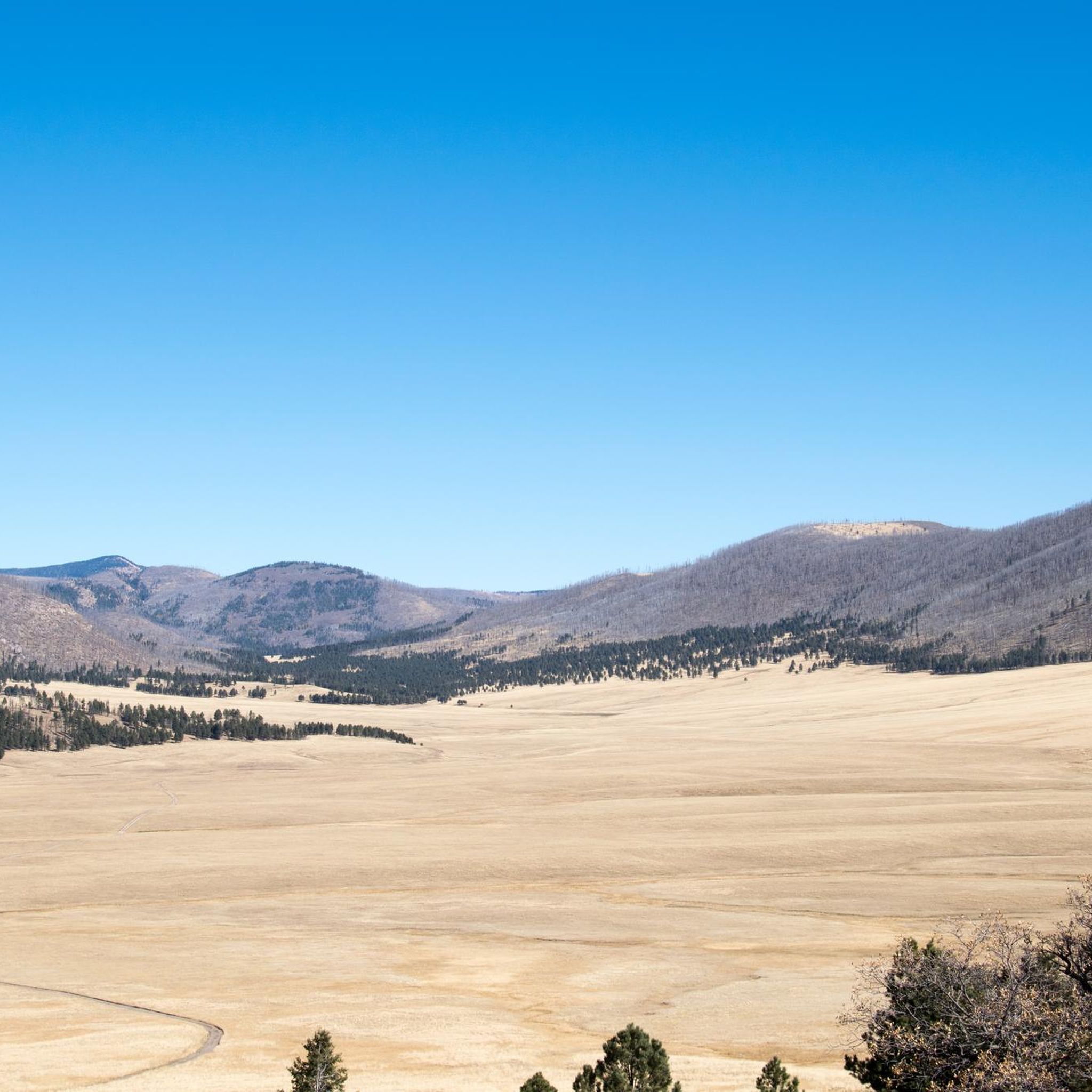
Valles Caldera National Preserve
Highlight • Volcano
Today it is a …
Translated by Google •
Tip by

Spence Hot Springs ♨ Jemez, New Mexico
Highlight • Natural Monument
Tip by
San Antonio Hot Springs
Highlight • Natural Monument
Tip by
Tsankawi Village
Highlight • Historical Site
Tip by
North Bench Overlook
Highlight • Viewpoint
Tip by
Sign up for free to discover even more attractions in the Santa Clara Mountains.
Sign up for free
Already have an account?
Start today with a free account
Your next adventure awaits.
Login or Signup
Popular around Santa Clara Mountains

Bikepack in America's southwest – deserts, cacti and Anasazi culture
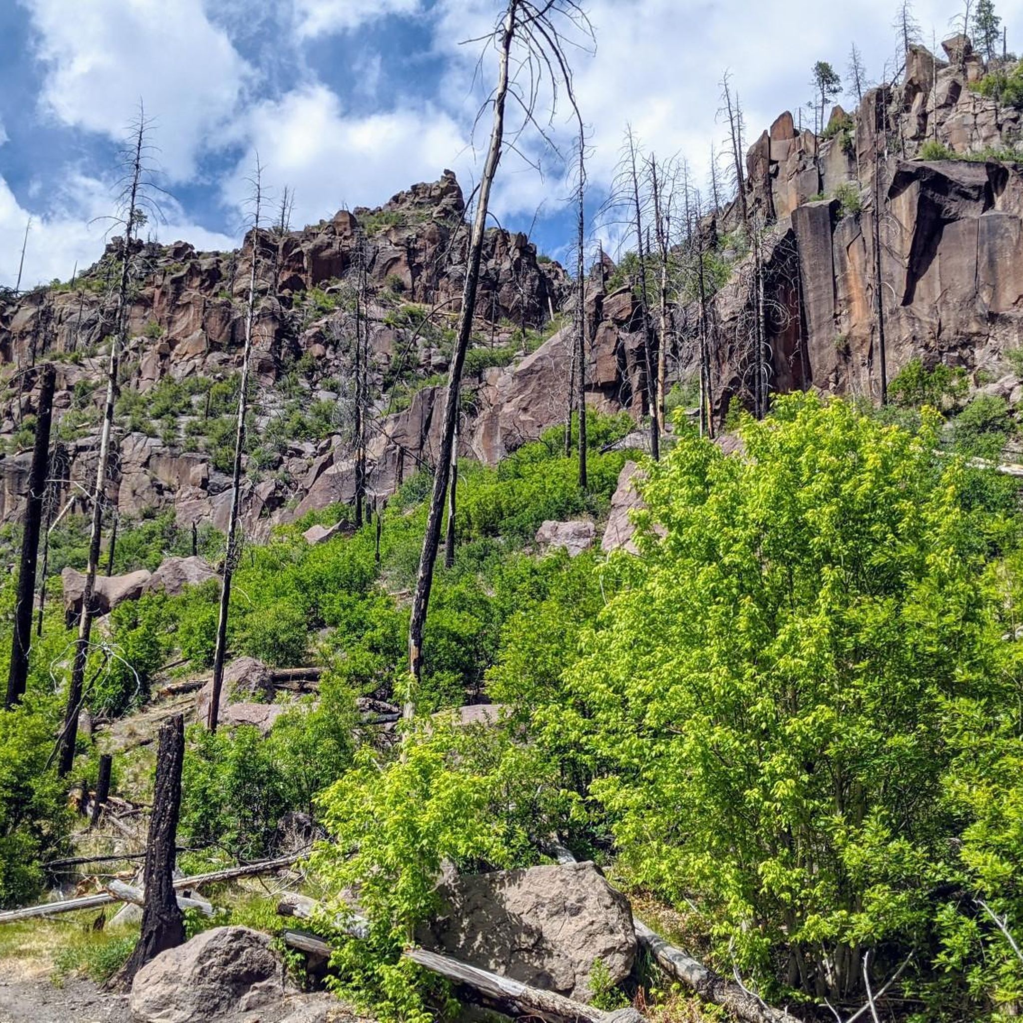
Hiking in the Santa Clara Mountains
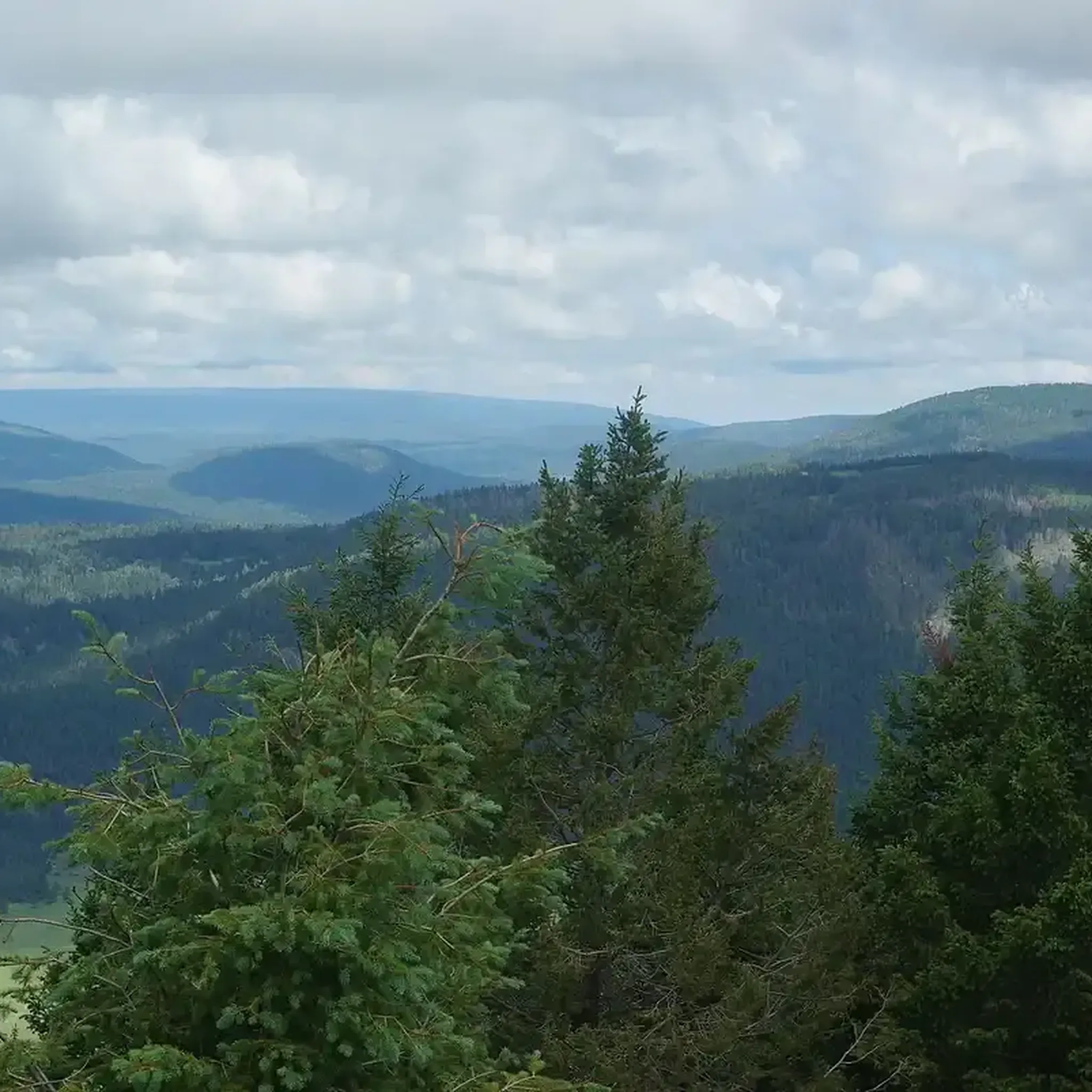
Running Trails in the Santa Clara Mountains
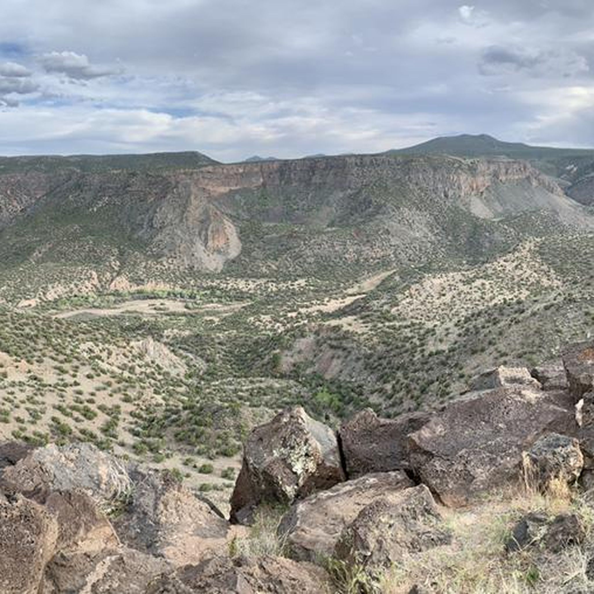
MTB Trails in the Santa Clara Mountains
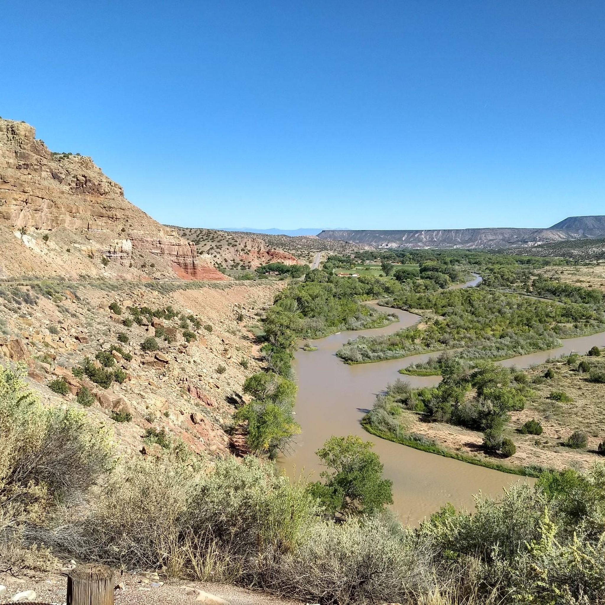
Cycling in the Santa Clara Mountains
Road Cycling Routes in the Santa Clara Mountains
Gravel biking in the Santa Clara Mountains
Other adventures in the Santa Clara Mountains

Tips from the Community

San Antonio Hot Springs has natural hot water coming out of several sources of the hillsides. There are a few soaking pools made of primitive rock circles, each with a different temperature. There is a shorter trail that is only 0.7 miles out and back from Lake Forest Drive, but the road to get there can be closed in the winter.
0
0
San Antonio Hot Springs has natural hot water coming out of several sources of the hillsides. There are a few soaking pools made of primitive rock circles, each with a different temperature. There is a shorter trail that is only 0.7 miles out and back from Lake Forest Drive, but the road to get there can be closed in the winter. Running the San Antonio Creek Trail is a great alternative and a nice way to see the beauty of the local forests.
0
0
Kasha-Katuwe Tent Rocks National Monument is on public BLM land (Bureau of Land Management), and before arriving, visitors should check to see if the area is open at blm.gov/visit/kktr This area has impressive geological features, including cone-shaped tent rock formations. This area is open to foot traffic only, and the elevation of the area ranges from 5,570 feet to 6,760 feet above sea level.
0
0

The trail passes by large panels of petroglyphs (carved pictures), that are thought to be hundreds of years old. Although their exact meaning is unknown, they are most likely not a type of written language, but rather held deep spiritual and artistic significance to ancient (and modern) indigenous people. There are many petroglyphs in this area, so be sure to take your time to try to find all of them - many of them blend in with their surroundings! Like in most archeological sites, please do not touch these ancient carvings.
0
0
The cavetes are located just below the ancient central village plaza in the cliff bands that make up the mesa. These cavates (human excavated cavities) were places where people could take shelter from the elements; the thick stone walls provided insulation from both the cold of winter and heat of summer. Talus pueblos were also most-likely constructed in front of the entrance to the cavates to further protect people from wind, rain, snow, and perhaps most importantly in the desert, heat. Please only enter cavetes that are immediately adjacent to the trail - the other cavets are dangerous to access.
0
0
This spot is near where the center ancient Tsankawi Village once stood. From here you get fantastic views out over the mesa of Jémez Mountains to the west, the Sangre de Cristo Mountains and the Española Valley to the east, and about 70 miles south you can see the Sandia Mountains, near Albuquerque. In addition to the natural high ground that the mesa afforded the Indigenous people and caves that dot the cliffsides, there used to be tall defensive walls to protect this central plaza. You can see the remains of these walls and other structures as well as pottery shards. Collecting these important historical artifacts is illegal and even moving them from one spot to another in the village can disrupt our understanding of the area. As you leave this area you get to walk on ancient pathways carved into the rock itself. There are some ancient small stone steps carved in the cliffs, but please stick to the ladders rather than climb the steps.
0
0
This spot is known as the North Bench Overlook and is a great spot to include as part of the larger Rendija Crack Loop, the Bayo Benches Loop, or as a destination in and of itself. From this overlook on the North Bayo Bench Trail, you get great views of the orange-walled Bayo Canyon, Barranca Mesa, and the Sangre de Cristo Mountains.
0
0
San Antonio Hot Springs has natural hot water coming out of several sources of the hillsides. There are a few soaking pools made of primitive rock circles, each with a different temperature. There is a shorter trail that is only 0.7 miles out and back from Lake Forest Drive, but the road to get there can be closed in the winter. Hiking the San Antonio Creek Trail is a great alternative and a nice way to see the beauty of the local forests.
0
0
Frequently Asked Questions
What natural parks and open spaces can I explore in the Santa Clara Mountains?
The Santa Clara Mountains offer extensive natural areas for exploration. Key locations include the Sierra Azul Open Space Preserve, home to Mount Umunhum, and Uvas Canyon, known for its beautiful waterfalls. You can also visit Santa Teresa County Park for scenic trails and the Rancho Cañada del Oro Open Space Preserve. For longer excursions, the Coyote Creek Trail spans over 22 miles.
Are there any significant historical or cultural sites in the Santa Clara Mountains region?
While many cultural sites are in urban areas, the region has historical ties. You can visit Mission Santa Clara de Asís, founded in 1777 and located on the Santa Clara University campus. The university itself, established in 1851, is California's oldest operating institution of higher learning. The Santa Clara passenger depot, built in 1863, is also California's oldest operating railroad depot.
What are some popular hiking trails in the Santa Clara Mountains?
The Santa Clara Mountains offer a variety of hiking experiences. You can find easy hikes like the San Antonio Hot Springs Trail. For more general hiking, explore trails within the Santa Clara Mountains hiking guide, which includes routes like the moderate Canyon Rim Trail and Mitchell Trail Loop.
Are there any hot springs in the Santa Clara Mountains?
Yes, the Santa Clara Mountains are known for natural hot springs. San Antonio Hot Springs provides natural hot water soaking pools, though access can sometimes be limited in winter.
What are the highest or most prominent peaks in the Santa Clara Mountains?
The region features several notable peaks. Copernicus Peak is the highest point, and Loma Prieta is the most prominent. Other significant peaks include Black Mountain on Monte Bello Ridge, offering views of the Santa Cruz Mountains and Silicon Valley, and Mount Umunhum, the highest point in the Sierra Azul Open Space Preserve.
Are there family-friendly activities or trails in the Santa Clara Mountains?
Many parks in the Santa Clara Mountains offer family-friendly trails. Santa Teresa County Park has beautiful, moderately challenging trails suitable for families. Uvas Canyon with its waterfalls is also a great spot for outdoor lovers of all ages. Always check specific park regulations for trail difficulty and suitability.
Can I bring my dog on trails in the Santa Clara Mountains?
Many parks and open spaces in the Santa Clara Mountains have designated dog-friendly trails. However, regulations vary by preserve and park. It's always best to check the specific rules for each location you plan to visit, as some may require dogs to be on leash or restrict them from certain areas.
What is the best time of year to visit the Santa Clara Mountains for outdoor activities?
The Santa Clara Mountains are enjoyable year-round, but spring and fall generally offer the most pleasant weather for hiking and outdoor activities, with mild temperatures and blooming wildflowers or colorful foliage. Summers can be warm, especially at lower elevations, while winters are mild but can bring rain, making some trails muddy.
Are there any trails suitable for cycling in the Santa Clara Mountains?
Yes, the Santa Clara Mountains offer various cycling opportunities. The Coyote Creek Trail is an excellent option for biking, spanning over 22 miles. For road cycling, you can explore routes like the South Mesa loop or the more challenging Valles Caldera National Preserve route.
Where can I find scenic viewpoints in the Santa Clara Mountains?
The Santa Clara Mountains boast several locations with breathtaking views. From Black Mountain on Monte Bello Ridge, you can see the Santa Cruz Mountains and Silicon Valley. Mount Umunhum in the Sierra Azul Open Space Preserve offers expansive vistas, including Mount Thayer. Saint Josephs Hill summit provides an overview of Los Gatos and the Silicon Valley.
Are permits required for hiking in Santa Clara County parks?
Generally, permits are not required for day hiking in most Santa Clara County parks and open space preserves. However, some specific activities or larger groups might require reservations or special permits. It's always advisable to check the official website of the specific park or preserve you plan to visit for the most current information on permits and regulations.
What kind of wildlife can I expect to see in the Santa Clara Mountains?
The diverse ecosystems of the Santa Clara Mountains support a variety of wildlife. Depending on the season and location, you might spot deer, coyotes, bobcats, and various bird species, including raptors. Keep an eye out for smaller mammals and reptiles as well, especially in less-trafficked areas.
Most popular routes in the Santa Clara Mountains
Most popular attractions in the Santa Clara Mountains

Get inspired with the komoot mobile app


Explore more
Still not found the Highlight you’re looking for? See guides of the top attractions in other regions:
