The best running trails in the Altiplano
5.0
(4)
66
runners
4
runs
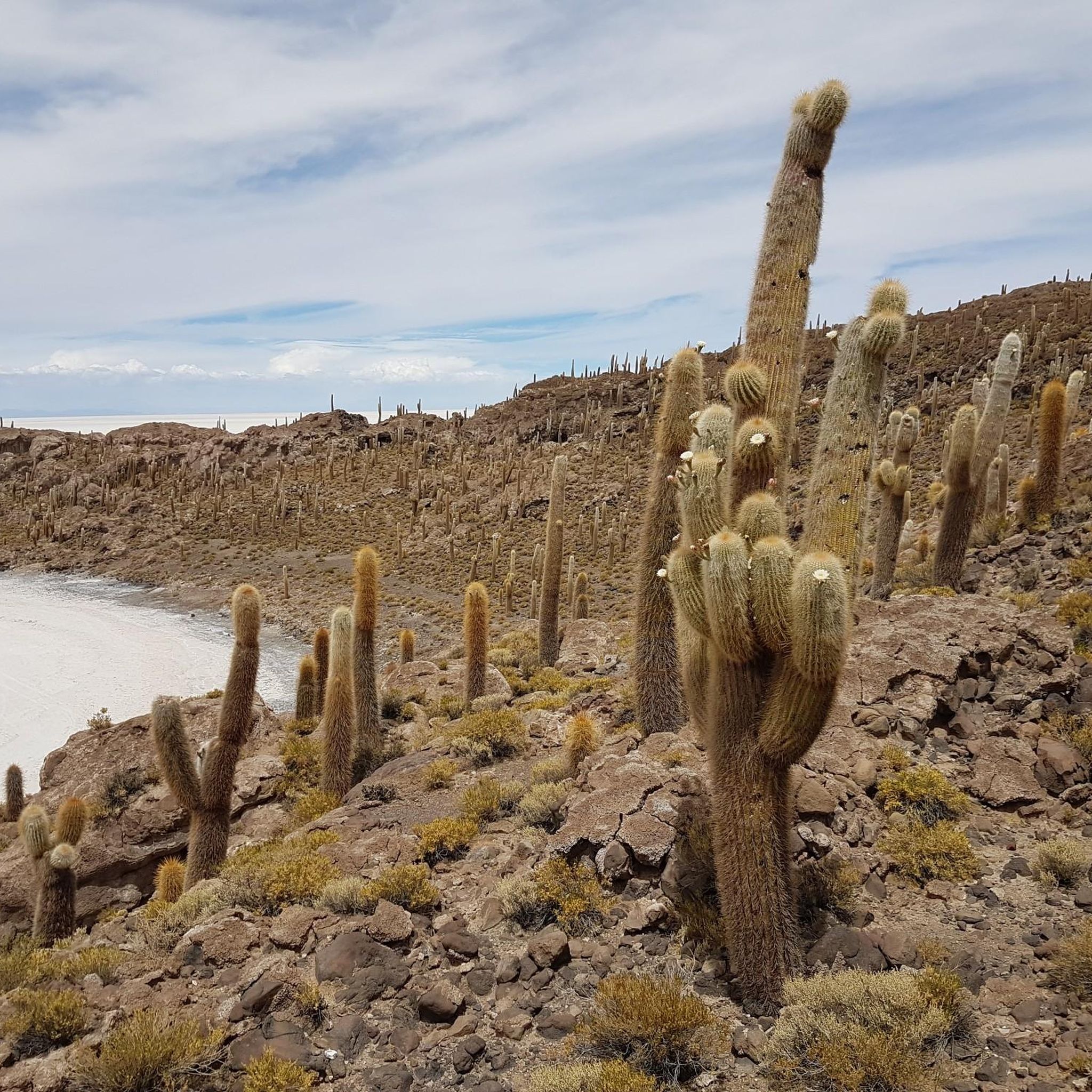
Jogging in the Altiplano offers a unique challenge on a high plateau nestled within the Andes mountain range, primarily across Bolivia and Peru. This region is characterized by its extreme elevation, often exceeding 3,000 meters, presenting a natural hypoxic environment for runners. The landscape features vast, open puna grasslands, the shores of Lake Titicaca, and surreal colorful lagoons, providing diverse terrain for running. Geological formations and volcanic peaks also contribute to the dramatic backdrop for outdoor activities.
Best jogging routes…
Last updated: July 13, 2026
5.0
(1)
42
runners
19.1km
02:27
500m
500m
Hard run. Very good fitness required. Mostly paved surfaces. Suitable for all skill levels.
5.0
(2)
10
runners
10.7km
01:23
200m
200m
Moderate run. Good fitness required. Mostly accessible paths. Some sure footedness required.

Sign up for free
5.0
(1)
12
runners
7.14km
01:01
320m
320m
Hard run. Very good fitness required. Mostly paved surfaces. Suitable for all skill levels.
2
runners
6.14km
00:49
270m
280m
Moderate run. Good fitness required. Mostly paved surfaces. Suitable for all skill levels.
Our route recommendations are based on thousands of hikes, rides, and runs completed by other people on komoot.
Start today with a free account
Your next adventure awaits.
Login or Signup
Popular around Altiplano

Other adventures in the Altiplano

Tips from the Community

Even the path to the Chincana Temple offers spectacular views of the lake and the surrounding area. The scenery is almost Mediterranean, with small, hidden coves, fine sandy beaches, and turquoise waters, a dreamlike experience.
2
1

The trail meanders along Lake Titicaca, where the azure waters lap against the rocky shoreline in an almost unreal way. The historic site itself is a mix of ancient stone walls and a backdrop that is almost meditative. Once you reach the top, it's worth stopping for a moment to look out over the pristine landscape. If you feel like it, you can even take a refreshing swim on the shore - a rare opportunity at this altitude. But remember to bring plenty of water with you, as the height of Lake Titicaca is noticeable.
1
0

Nice ruins with a great backdrop. Also a nice place to go for a dip.
0
0

The hike here is beautiful. Definitely do it, a great place.
1
0
Frequently Asked Questions
How many running routes are available in the Altiplano?
Komoot offers a selection of over 4 running routes in the Altiplano. These trails cater to various skill levels, from moderate paths to more challenging routes, all highly rated by the komoot community.
What makes jogging in the Altiplano unique or challenging?
Jogging in the Altiplano presents a unique challenge due to its extreme elevation, often exceeding 3,000 meters (about 9,800 feet). This high-altitude environment means thinner air, which can boost athletic performance upon acclimatization but requires starting slowly, staying hydrated, and listening to your body to avoid altitude sickness. The vast, open puna grasslands and dramatic volcanic backdrops also contribute to an unparalleled experience.
Are there routes suitable for beginners or those new to high-altitude running?
While the Altiplano's altitude is a significant factor, there are routes of varying difficulty. For those new to high-altitude running, it's advisable to start with moderate trails and allow for acclimatization. The View of Lake Titicaca loop from Copacabana is a moderate 6.7-mile (10.7 km) path that offers panoramic views and is a good option to begin with.
What kind of landscapes can I expect to see while running in the Altiplano?
The Altiplano offers incredibly diverse and surreal landscapes. You can expect to run through vast, open puna grasslands, along the stunning shores of Lake Titicaca, and past unique geological formations. The southern Altiplano also features surreal colorful lagoons like Laguna Colorada (red) and Laguna Verde (green), and dramatic volcanic peaks provide a majestic backdrop.
Are there any specific natural attractions or historical sites along the running paths?
Yes, several routes offer access to significant natural and historical attractions. For instance, the Chincana Ruins, Isla del Sol loop from Yumani takes you past ancient ruins and offers expansive views of Lake Titicaca. Other notable highlights in the region include Isla del Sol Ruins and Lake Titicaca View, Cerro Calvario for viewpoints, and the Sacred Rock (Titikala).
Can I find circular running routes in the Altiplano?
Yes, many of the running routes in the Altiplano are designed as loops, allowing you to start and finish in the same location. Examples include the View of Lake Titicaca loop from Copacabana, the Cerro Ceroka loop from Copacabana, and the Pachatata loop from Amantaní.
What is the best time of year to go running in the Altiplano?
The Altiplano generally experiences a dry season from May to October, which is often considered the best time for outdoor activities like running due to clearer skies and less rainfall. However, temperatures can vary significantly between day and night, and strong winds are common. The wet season, from November to April, brings more rain, which can make some trails muddy.
Are there any longer distance running trails for experienced athletes?
For experienced runners seeking a longer challenge, the Chincana Ruins, Isla del Sol loop from Yumani is a difficult 11.8-mile (19.1 km) trail with significant elevation changes, offering a substantial workout amidst stunning scenery.
What do other runners say about their experience in the Altiplano?
The running routes in the Altiplano are highly rated by the komoot community, with an average score of 5.0 stars from over 4 reviews. Runners often praise the breathtaking views of Lake Titicaca, the unique challenge of high-altitude running, and the sense of solitude offered by the vast landscapes.
What should I consider regarding the weather and gear for running in the Altiplano?
The Altiplano's weather can be unpredictable, with clear, luminous light but also strong winds and significant temperature fluctuations. It's crucial to dress in layers, protect yourself from the sun (high UV index at altitude), and carry plenty of water to stay hydrated due to the dry air. Appropriate trail running shoes are recommended for varied terrain.
How accessible are the running routes by public transport or car?
Accessibility varies by route. Many popular starting points, such as Copacabana, are accessible by public transport (buses) from larger cities. For routes on islands like Isla del Sol or Amantaní, you'll typically need to take a boat. Parking availability can vary, so it's advisable to research specific route starting points if traveling by car.
Where can I find amenities like cafes or accommodation near the running routes?
Towns like Copacabana, a common starting point for routes around Lake Titicaca, offer various amenities including cafes, restaurants, and accommodation options. On islands like Isla del Sol or Amantaní, you might find more basic guesthouses and local eateries. It's always a good idea to plan ahead, especially for more remote trails.
Most popular routes in the Altiplano
Most popular attractions in the Altiplano

Get inspired with the komoot mobile app


Explore more
Browse the best Running Trails & Routes in other regions.
