The best cycling routes around Torrijas
47
riders
16
rides
Touring cycling around Torrijas is characterized by its mountainous landscape and significant elevation changes. The region features high peaks and deep valleys, offering challenging routes for experienced cyclists. Terrain often includes winding roads through rural areas and natural parks, providing a demanding yet rewarding cycling experience.
Best touring cycling routes around Torrijas
- The most popular touring cycling route is Empty Mountains - circular by Javalambre, a 20.5 miles (33.0 km) trail that takes 3 hours 39 minutes to complete.…
Last updated: October 10, 2026
2
riders
33.0km
03:39
960m
960m
Hard bike ride. Very good fitness required. Some segments of this route may be unpaved and difficult to ride.
19
riders
58.2km
03:52
910m
910m
Hard bike ride. Very good fitness required. Mostly paved surfaces. Suitable for all skill levels.

11
riders
64.8km
04:29
1,180m
1,180m
Hard bike ride. Very good fitness required. Mostly paved surfaces. Suitable for all skill levels.
6
riders
54.2km
04:00
1,290m
1,290m
Hard bike ride. Very good fitness required. Mostly paved surfaces. Suitable for all skill levels.
5
riders
41.5km
02:58
650m
650m
Hard bike ride. Very good fitness required. Mostly paved surfaces. Suitable for all skill levels.
Get access to more routes and recommendations from other explorers.
Already have an account?
Our route recommendations are based on thousands of hikes, rides, and runs completed by other people on komoot.
Start today with a free account
Your next adventure awaits.
Tips from the Community

Aras de los Olmos is a mountain village surrounded by mountains and ravines, perfect for those seeking hiking and biking trails surrounded by nature. It is known for its clear skies, recognized with the Starlight Destination certification, making it one of the best places in Europe for astronomical observation. Its heritage includes the parish church, hermitages, a Muslim tower, and a medieval oven that can be visited, as well as paleontological finds such as the Losillasaurus dinosaur. The local cuisine, with dishes such as gachas (porridge), ajoarriero (a garlic stew), and artisanal honey, completes the visit.
0
0
Arcos de las Salinas is a small village in the Javalambre Mountains, ideal for hiking and nature lovers. Surrounded by mountains and crossed by the Arcos and Torrijano rivers, it is part of a protected area designated as a Site of Community Interest. Its scattered villages and farmhouses give it a very authentic rural feel, perfect for unwinding. Thanks to its altitude, the climate is cool, and snow is not uncommon in winter, making it a good starting point for excursions at any time of year.
1
0
La Yesa is a small village in the Los Serranos region, surrounded by mountains covered with holm oaks and pine forests, ideal for leisurely hikes with beautiful views of the mountains and even the sea on clear days. Its attractions include the Church of Nuestra Señora de los Ángeles, several chapels, and monumental trees such as the Carrasca Tumbada and the Pino Sombrero. The surrounding area offers trails through natural sites such as El Carrascal and El Castellar, with archaeological remains. To replenish your energy, there's nothing better than trying "Olla de pueblo" (village pot), a hearty rice dish with beans and turnips, typical of the area.
2
0
The Los Arcos aqueduct, located in Alpuente, is a 16th and 17th-century hydraulic structure that supplied water to the town and its orchards. With its thirteen pointed arches and a length of 265 meters, the arcade bridged the uneven level of the Reguero River, although the main arch was lost in a flood in 1880. Today, it is preserved as a Site of Cultural Interest and can be easily visited from the road to La Yesa. It is an interesting spot for combining history and hiking; good footwear is recommended to explore the surroundings.
3
0
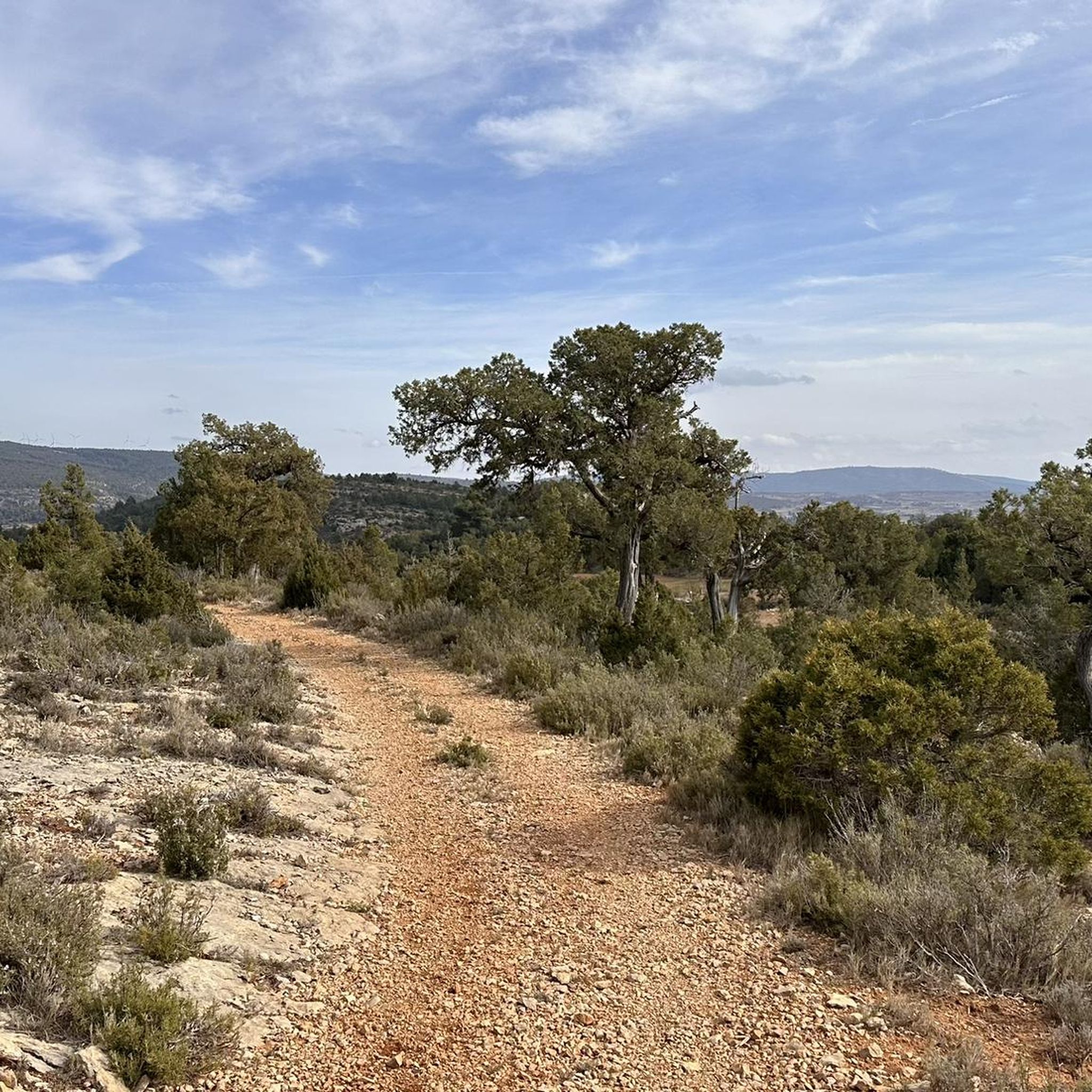
Titaguas is a small town in the Los Serranos region, surrounded by mountains covered with pine, holm oak, and juniper forests, making it an ideal location for hiking. In the surrounding area, you can discover natural springs renowned for their healthy waters, as well as archaeological sites and cave paintings dating back over 9,000 years. The old town preserves historic houses and the Renaissance church of El Salvador, while local festivals keep traditions alive with the famous Mojiganga and wine-related celebrations. It's a great destination for combining nature, heritage, and popular culture, with trails accessible from the CV-35.
2
0

The Rabadá and Navarro refuge is located in the heights of the Javalambre mountain range, very close to the ski resort. It has a capacity of 74 beds and offers blankets, heating, hot showers, food service and a bar.
1
0

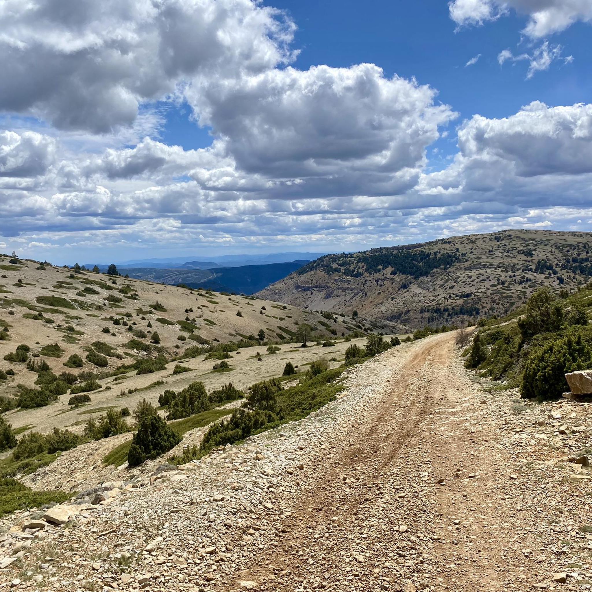
great climb to a beautiful viewpoint summit.
1
0

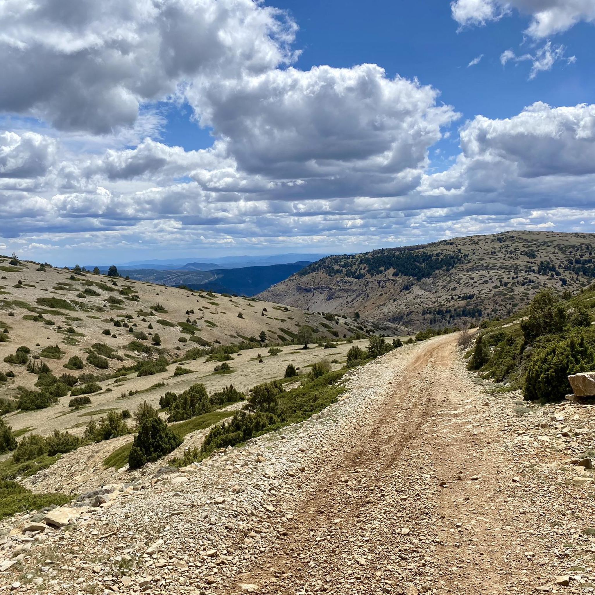
Located at an altitude of 1,715 meters, this refuge is accessible from La Puebla de San Miguel or Camarena de la Sierra. The refuge is a simple stone hut with basic amenities such as a small fireplace and a nearby fountain called Fuente del Pozo. It is an ideal place for hikers looking to rest for the night while exploring the Sierra de Javalambre.🚴🚶♀️🚵🌄
5
0
Frequently Asked Questions
What is the general difficulty level for touring cycling routes around Torrijas?
Touring cycling around Torrijas is primarily characterized by challenging routes with significant elevation changes. Out of 19 available routes, 18 are rated as difficult, making the region best suited for experienced cyclists seeking demanding ascents and descents through mountainous terrain.
Are there any family-friendly touring cycling routes in Torrijas?
Given the mountainous landscape and significant elevation changes, most touring cycling routes in Torrijas are rated as difficult. There are no routes specifically categorized as easy, and only one is rated as moderate. Therefore, the area may not be ideal for families with young children or those seeking very gentle rides.
What kind of terrain can I expect on touring cycling routes in Torrijas?
You can expect a diverse and demanding terrain. Routes often feature winding roads through rural areas, natural parks, and mountainous landscapes with high peaks and deep valleys. The region is known for its challenging ascents and rewarding panoramic views.
Are there any circular touring cycling routes available in Torrijas?
Yes, several routes in Torrijas are circular. For instance, you can explore the Empty Mountains - circular by Javalambre, which is a 20.5-mile loop. Another option is the Azud de Tuéjar – Ascent to Puerto del Remedio loop from Corcolilla, offering a longer 40.3-mile challenge.
What are some notable natural attractions or viewpoints along the touring cycling routes?
The region offers several impressive natural attractions and viewpoints. You might encounter the majestic Pico Javalambre or the Alto de las Barracas or Cerro Calderón 1838m, both offering stunning vistas. For a unique natural feature, look out for The Amanaderos of Riodeva waterfall.
Are there any cultural or man-made landmarks to see while cycling in Torrijas?
Yes, beyond natural beauty, you can visit the Javalambre Astrophysical Observatory (Pico del Buitre), a significant man-made monument. Some routes also pass through small villages, offering glimpses into rural life.
What is the typical distance and elevation gain for touring cycling routes in Torrijas?
Routes in Torrijas vary in length, generally ranging from approximately 20 miles (33 km) to over 40 miles (64 km). Expect significant elevation gains, often exceeding 1000 meters (3,280 feet) per route, with some reaching close to 1500 meters (4,920 feet), such as the La Yesa – Arcos de las Salinas loop from La Yesa.
What is the best time of year for touring cycling in Torrijas?
Due to the mountainous terrain, spring and autumn generally offer the most pleasant conditions for touring cycling in Torrijas, with milder temperatures. Summers can be hot, and winters may bring cold weather and snow at higher elevations, making some routes more challenging or inaccessible.
Are there any routes that pass through forests or unique natural areas?
Yes, some routes will take you through unique natural areas. For example, you might encounter the Las Blancas (Juniper Forest), offering a distinct natural environment. The region's rural landscapes often include forested sections.
What kind of experience do other touring cyclists have in Torrijas?
Touring cyclists using komoot frequently praise the challenging nature of the routes and the stunning mountainous scenery. The region is known for providing a demanding yet rewarding experience, particularly for those who enjoy significant elevation gains and exploring rural landscapes.
Is public transport readily available to access touring cycling routes in Torrijas?
Accessing touring cycling routes in Torrijas primarily relies on personal transport due to the rural and mountainous nature of the region. Public transport options directly to trailheads may be limited, so planning your logistics, including parking, is advisable.
Where can I find parking for touring cycling routes in Torrijas?
Many touring cycling routes in Torrijas start from or pass through small villages. You can often find parking in these village centers or designated areas near the route's starting point. It's recommended to check specific route details for suggested parking locations.
Most popular attractions around Torrijas

Get inspired with the komoot mobile app


Explore more
Browse the best Cycling routes in other regions.
