The best walks and hikes around Torrijas
4.7
(4)
77
hikers
15
hikes
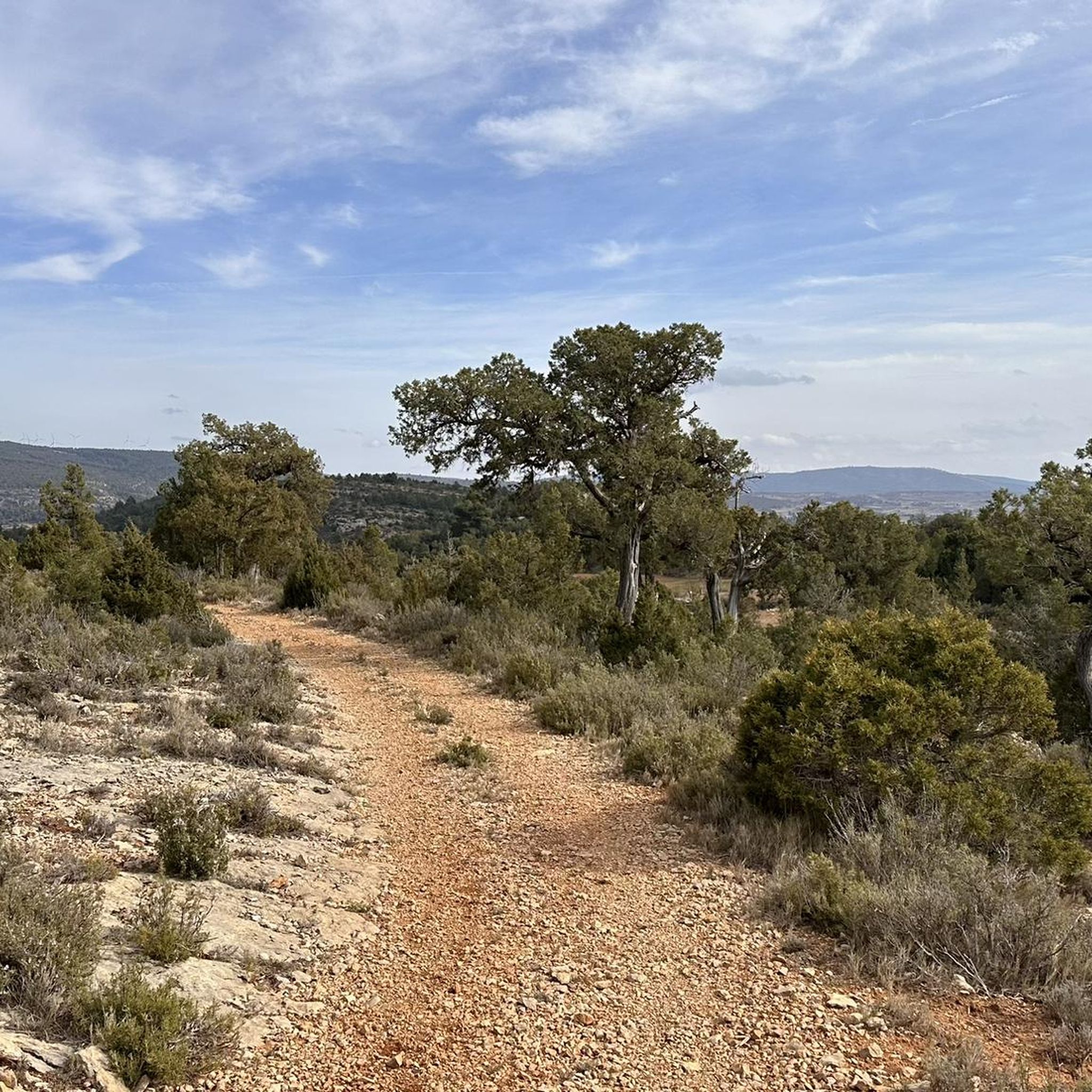
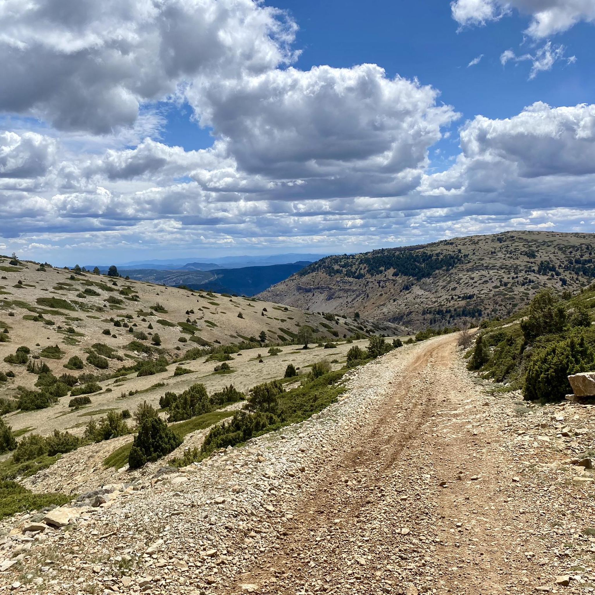
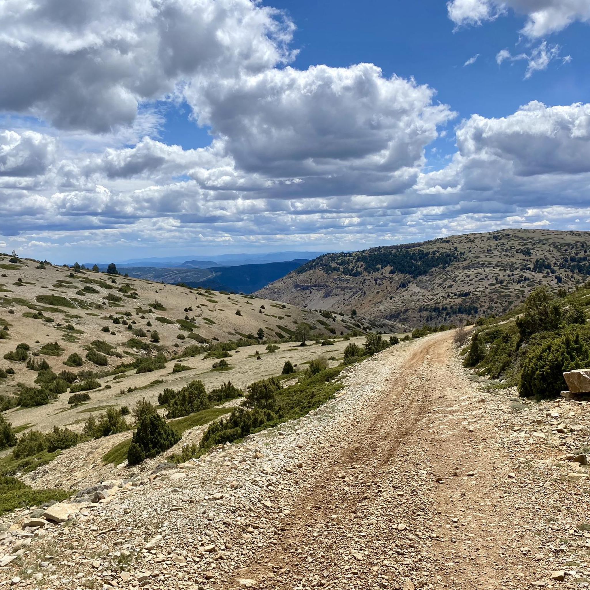
Hiking around Torrijas offers diverse landscapes within the Sierra de Javalambre, situated at 1,360 meters above sea level. The region features mountainous terrain with notable peaks and unique vegetation patterns. Trails often traverse varied environments, including areas where the Riodeva river originates, characterized by ravines and waterfalls. This area provides a range of hiking experiences across different elevations and natural settings.
Best hiking trails around Torrijas
- The most popular hiking route is Torrijas - circular route on the Cholesterol Route…
Last updated: June 30, 2026
3
hikers
9.18km
03:14
510m
510m
Moderate hike. Good fitness required. Easily-accessible paths. Suitable for all skill levels.
4
hikers
20.1km
06:47
970m
970m
Hard hike. Very good fitness required. Easily-accessible paths. Suitable for all skill levels.

Sign up for free
5.0
(2)
2
hikers
6.23km
01:43
100m
100m
Easy hike. Great for any fitness level. Easily-accessible paths. Suitable for all skill levels.
13
hikers
8.01km
02:10
110m
110m
Moderate hike. Good fitness required. Easily-accessible paths. Suitable for all skill levels.
6
hikers
Moderate hike. Good fitness required. Easily-accessible paths. Suitable for all skill levels.
Get access to more routes and recommendations from other explorers.
Sign up for free
Already have an account?
Our route recommendations are based on thousands of hikes, rides, and runs completed by other people on komoot.
Start today with a free account
Your next adventure awaits.
Login or Signup
Tips from the Community

The Rabadá and Navarro refuge is located in the heights of the Javalambre mountain range, very close to the ski resort. It has a capacity of 74 beds and offers blankets, heating, hot showers, food service and a bar.
1
0

Located at an altitude of 1,715 meters, this refuge is accessible from La Puebla de San Miguel or Camarena de la Sierra. The refuge is a simple stone hut with basic amenities such as a small fireplace and a nearby fountain called Fuente del Pozo. It is an ideal place for hikers looking to rest for the night while exploring the Sierra de Javalambre.🚴🚶♀️🚵🌄
4
0

a really gorgeous place - perfect for an overnight stay
3
0

The summit is 2019 meters high. The path is demanding, but it is worth the effort. The panoramic views of the surrounding mountains are like something out of a movie.
2
0

Minimalistic shelter, enough to protect you from the weather. Keep in mind to bring enough water since there is no spring nearby.
3
0

The final section of the climb to Alto de las Barracas (1,838 m) is not cyclable but it is easy to climb pushing the bicycle. The trail markings pass through the vertex and continue in the direction of Pino Vicente. White and yellow signs are painted on the limestone rocks and there are also stone milestones marking the way.
0
0

We are at Pico Javalambre at an altitude of 2,019 meters, considered a sacred mountain by many nature lovers and/or Turolenses. It is the highest peak of the mountain range that bears his name, it is considered by the majority of Teruel residents to be the roof of their province, although the true roof of Teruel is the top of Peñarroya. If we have the opportunity to climb here when there is no snow, we will be able to appreciate the so-called "leopard skin" caused by the vegetation on the entire surface of the massif, a work of art of nature!
2
0
Frequently Asked Questions
What types of hiking trails can I find around Torrijas?
Torrijas, nestled in the Sierra de Javalambre, offers a wide variety of hiking trails suitable for all fitness levels. You'll find everything from easy, leisurely strolls to challenging routes with significant elevation gains. The landscape includes mountainous terrain, river ravines, and unique vegetation patterns.
Are there any easy, family-friendly hikes in the area?
Yes, for an easy and pleasant walk, consider the Torrijas - circular route on the Cholesterol Route. This 6.2 km circular path is ideal for families and can be completed in under two hours, offering a gentle introduction to the local scenery.
Where can I find trails with waterfalls or unique natural features?
The region is home to The Amanaderos of Riodeva, where the Riodeva river originates. This area features a path along the river ravine with steps, footbridges, and several waterfalls, depending on the river's flow. You can explore this natural monument via The Amanaderos of Riodeva.
Are there any challenging hikes for experienced trekkers?
For experienced hikers seeking a challenge, the Pico del Buitre Circular Trail is an excellent option. This difficult 20.1 km route features substantial elevation gain through mountainous terrain, offering a demanding yet rewarding experience.
What are some notable viewpoints or landmarks to see while hiking?
The Sierra de Javalambre offers panoramic views, especially from peaks like Pico Javalambre. You might also encounter the unique 'leopard skin' vegetation effect on the massif of Pico Javalambre after the snow melts. Another significant landmark is the Javalambre Astrophysical Observatory (Pico del Buitre), which can be reached via some of the longer trails.
Are there any circular hiking routes in the Torrijas area?
Yes, several circular routes are available. Besides the easy 'Cholesterol Route,' a moderate option is the Javalambre – circular from Javalambre Station via Rabadá y Navarro Refuge. This 9.2 km trail takes you through the stunning Sierra de Javalambre landscape.
What is the best time of year to go hiking around Torrijas?
The region is generally pleasant for hiking outside of the peak winter months when snow can cover higher elevations. Spring and autumn offer mild temperatures and vibrant landscapes. Summer can be warm, so early morning or late afternoon hikes are recommended. The 'leopard skin' vegetation effect is best seen after the snow has melted.
What do other hikers enjoy most about the trails in Torrijas?
The hiking trails around Torrijas are highly rated by the komoot community, with an average score of 4.6 stars. Hikers often praise the diverse landscapes, from mountainous terrain to river ravines, and the variety of routes catering to different skill levels.
Are there any shelters or refuges along the trails?
Yes, the Collado del Buey Shelter is located at 1,720 meters altitude on the Sierra de Javalambre. This restored refugio offers a basic but charming stop for hikers, providing a place to rest during longer excursions.
Can I find any moderate difficulty hikes that offer good views?
Absolutely. The 'View of Las Dos Villas – Torrijas Loop' is a moderate 10.9 km loop that provides excellent views of the surrounding area and requires a moderate fitness level. Another moderate option is the Hotel Balneario El Paraíso loop, which is about 8 km long.
Are there any short, easy walks with interesting features nearby?
Yes, the Arcos de las Salinas – Baños Waterfall loop is an easy 4.1 km hike. This route offers a pleasant stroll and includes the Baños Waterfall, making it a nice option for a shorter outing.
Most popular attractions around Torrijas

Get inspired with the komoot mobile app


Explore more
Browse the best Hikes in other regions.
