The best mountain hikes around Roderen
4.0
(2)
11
hikers
4
hikes
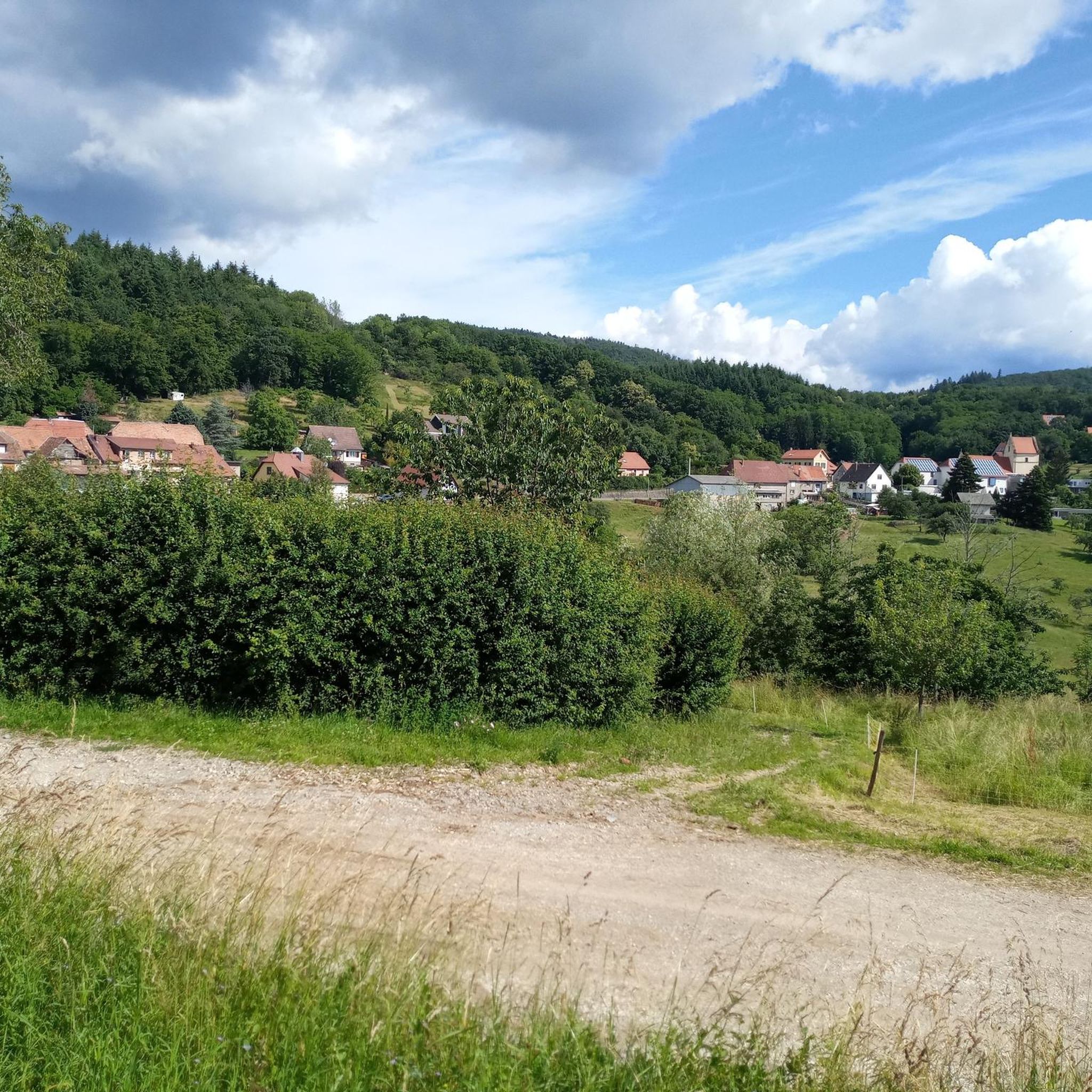
Mountaineering around Roderen offers a diverse landscape characterized by significant elevation changes, dense woodlands, and open mountain passes. The region features challenging ascents and descents, leading to panoramic viewpoints. These routes often traverse varied terrain, including rocky paths and forest trails, providing a robust experience for mountaineers.
Best mountaineering routes around Roderen
- The most popular mountaineering route is Hundsruck Pass – Panoramic view loop from Bourbach-le-Haut, a 9.7 miles (15.5 km) trail that takes 4 hours 58 minutes to…
Last updated: October 4, 2026
4
hikers
15.5km
04:57
640m
640m
Moderate mountaineering route. Good fitness required. Easily-accessible paths. Suitable for all skill levels.
4
hikers
26.8km
08:45
1,200m
1,200m
Hard mountaineering route. Very good fitness required. Easily-accessible paths. Suitable for all skill levels.

5.0
(1)
2
hikers
15.0km
05:10
820m
820m
Hard mountaineering route. Very good fitness required. Easily-accessible paths. Suitable for all skill levels.
3.0
(1)
2
hikers
12.9km
04:04
490m
490m
Moderate mountaineering route. Good fitness required. Easily-accessible paths. Suitable for all skill levels.
Our route recommendations are based on thousands of hikes, rides, and runs completed by other people on komoot.
Start today with a free account
Your next adventure awaits.

Tips from the Community

The Col du Hunsrück (748 m) is a quiet and wooded pass above Willer-sur-Thur. The steady climb and beautiful nature make this a pleasant classic in the southern Vosges, with connections to both the Thur and Dollervallei valleys.
6
0


Fernand Zumbiehl, parish priest of Geishouse from 1960 to 1995, was president of the St-Amarin section of the Club Vosgien from 1962 to 1989. With several hundred members at the time, this section was the strongest in Alsace, which must have been a heavy burden for the priest!
0
0

Beautiful hike and beautiful viewpoint
1
0


Ferme Auberge Gsang: great view, good food
0
0

Beautiful rocky viewpoint pointing towards Belacker, Drumont and Tête des Perches
1
0
Frequently Asked Questions
What is the general difficulty level of mountaineering routes around Roderen?
Mountaineering around Roderen offers a mix of challenges. You'll find both moderate and difficult routes, characterized by significant elevation changes, dense woodlands, and open mountain passes. These trails often involve challenging ascents and descents over varied terrain, including rocky paths and forest trails.
Are there any circular mountaineering routes in Roderen?
Yes, several routes in Roderen are designed as loops. For example, the Hundsruck Pass – Panoramic view loop from Bourbach-le-Haut is a popular circular option. Another challenging loop is the Hundsruck Pass – Vogelstein (Bird Rock) loop from Willer-sur-Thur, which takes you past notable rock formations.
What kind of elevation gain can I expect on Roderen's mountaineering routes?
The routes in Roderen feature significant elevation gains, contributing to their challenging nature. For instance, the Hundsruck Pass – Panoramic view loop from Bourbach-le-Haut involves over 2,000 feet (640m) of climbing, while the Hundsruck Pass – Vogelstein (Bird Rock) loop from Willer-sur-Thur includes over 3,900 feet (1200m) of ascent.
Are there any less strenuous mountaineering options for beginners or those seeking a moderate challenge?
While many routes are challenging, there are moderate options available. The Lourdes Grotto – Moosch loop from Moosch is a moderate route, covering about 12.8 km with around 490 meters of elevation gain, making it a good choice for those looking for a less demanding mountaineering experience.
What are some interesting landmarks or viewpoints I can discover along the mountaineering routes?
Roderen's mountaineering routes offer access to several notable landmarks and viewpoints. You can visit the Viewpoint at the summit of Vieil Armand or the historical Hartmannswillerkopf National Monument. The Hundsruck Pass itself is a significant feature, and some routes pass by unique rock formations like Vogelstein (Bird Rock).
Are there any huts or shelters available along the trails for breaks or overnight stays?
Yes, the region around Roderen has several huts and shelters that can be useful during your mountaineering trips. You might encounter places like the Viewpoint at the Rehbrunnel shelter, the Molkenrain Refuge, or the Grambaechle Refuge. These can provide a welcome break or shelter from the elements.
What do other mountaineers say about the routes in Roderen?
The mountaineering routes in Roderen are highly regarded by the komoot community, with an average score of 4.0 stars from over 2 reviews. Users often praise the diverse terrain, challenging ascents, and the rewarding panoramic viewpoints found along the trails.
What kind of terrain can I expect on mountaineering trails in Roderen?
The terrain in Roderen is quite varied, reflecting the region's diverse landscape. You can expect to traverse everything from rocky paths and dense forest trails to open mountain passes. The routes are characterized by significant elevation changes, requiring good footing and stamina.
How many mountaineering routes are available in the Roderen area?
There are at least four distinct mountaineering routes detailed for the Roderen area, offering a range of distances and difficulties for different preferences.
What is a good route for experiencing varied terrain and significant ascents?
The Viewpoint loop from Wattwiller is an excellent choice. This difficult 14.8 km (9.2 miles) trail leads through varied terrain with significant ascents, typically completed in about 5 hours 8 minutes, offering a robust mountaineering experience.
Is there a route that specifically highlights rock formations?
Yes, the Hundsruck Pass – Vogelstein (Bird Rock) loop from Willer-sur-Thur is a difficult route that specifically passes by notable rock formations, including the Vogelstein (Bird Rock) itself, making it ideal for those interested in geological features.
Most popular routes around Roderen
Most popular attractions around Roderen

Get inspired with the komoot mobile app


Explore more
Browse the best Mountain Hikes & Routes in other regions.
