The best gravel rides around Roderen
4.6
(32)
440
riders
53
rides
Gravel biking around Roderen offers diverse landscapes, from the foothills of the Vosges Mountains to the scenic Alsace vineyard region. The terrain features significant elevation changes, including rolling hills, valleys, and demanding mountain passes, providing both challenging ascents and exhilarating descents. Riders can expect ample unpaved paths through forests and meadows, alongside quieter country roads and farm tracks. This variety creates a rich tapestry of riding surfaces suitable for gravel bikes.
Best gravel bike trails around Roderen
- The most popular…
Last updated: October 19, 2026
4.2
(6)
56
riders
52.7km
03:56
1,260m
1,260m
Hard gravel ride. Very good fitness required. Mostly paved surfaces. Suitable for all skill levels.
3.7
(3)
38
riders
41.0km
02:51
790m
790m
Hard gravel ride. Very good fitness required. Mostly paved surfaces. Suitable for all skill levels.

4.5
(2)
23
riders
35.5km
03:03
1,170m
1,170m
Hard gravel ride. Very good fitness required. Mostly paved surfaces. Suitable for all skill levels.
4.5
(2)
19
riders
25.4km
01:59
720m
720m
Hard gravel ride. Very good fitness required. You may need to push your bike for some segments of this route.
5.0
(1)
18
riders
74.2km
05:09
1,300m
1,300m
Hard gravel ride. Very good fitness required. Mostly paved surfaces. Suitable for all skill levels.
Get access to more routes and recommendations from other explorers.
Already have an account?
Our route recommendations are based on thousands of hikes, rides, and runs completed by other people on komoot.
Start today with a free account
Your next adventure awaits.

Tips from the Community

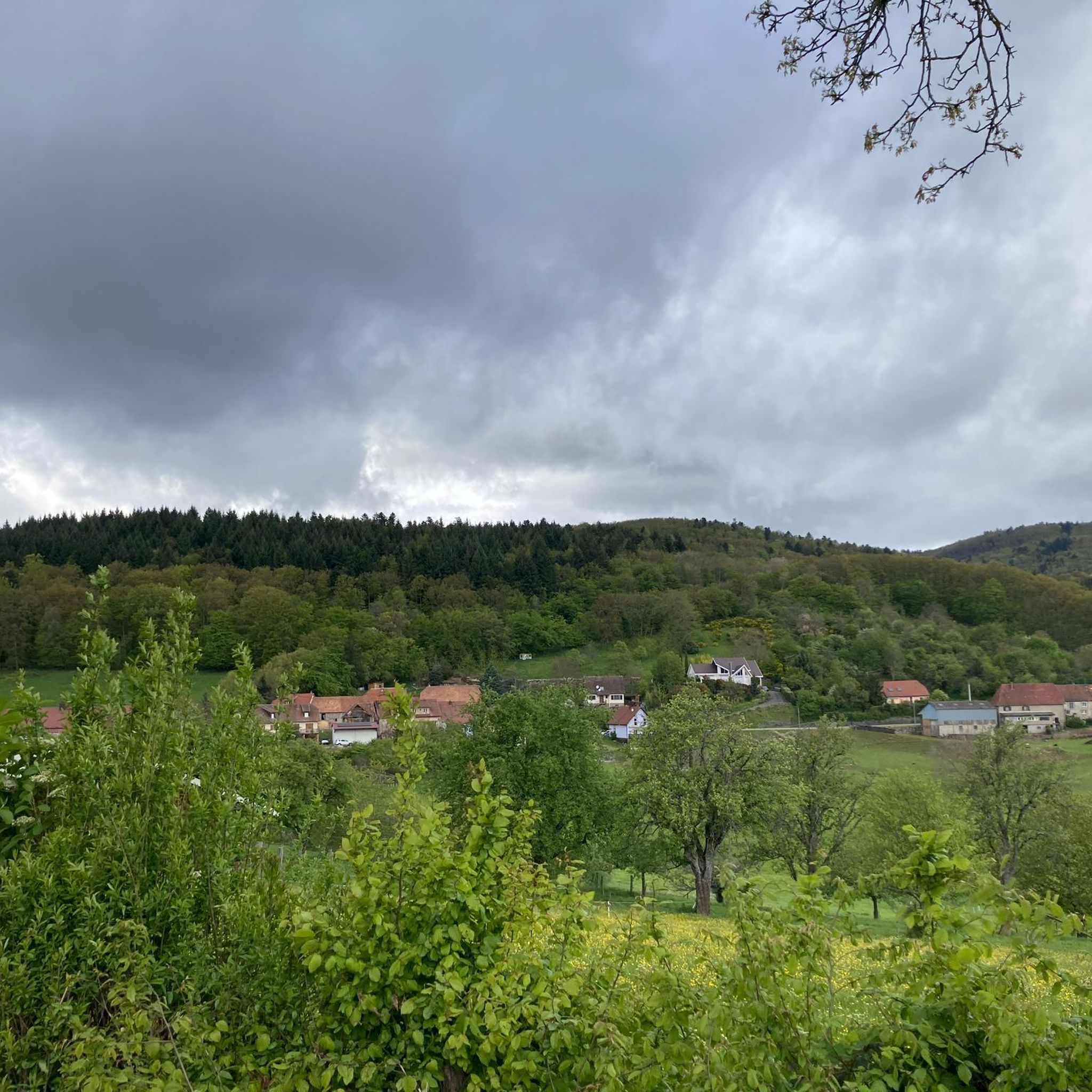
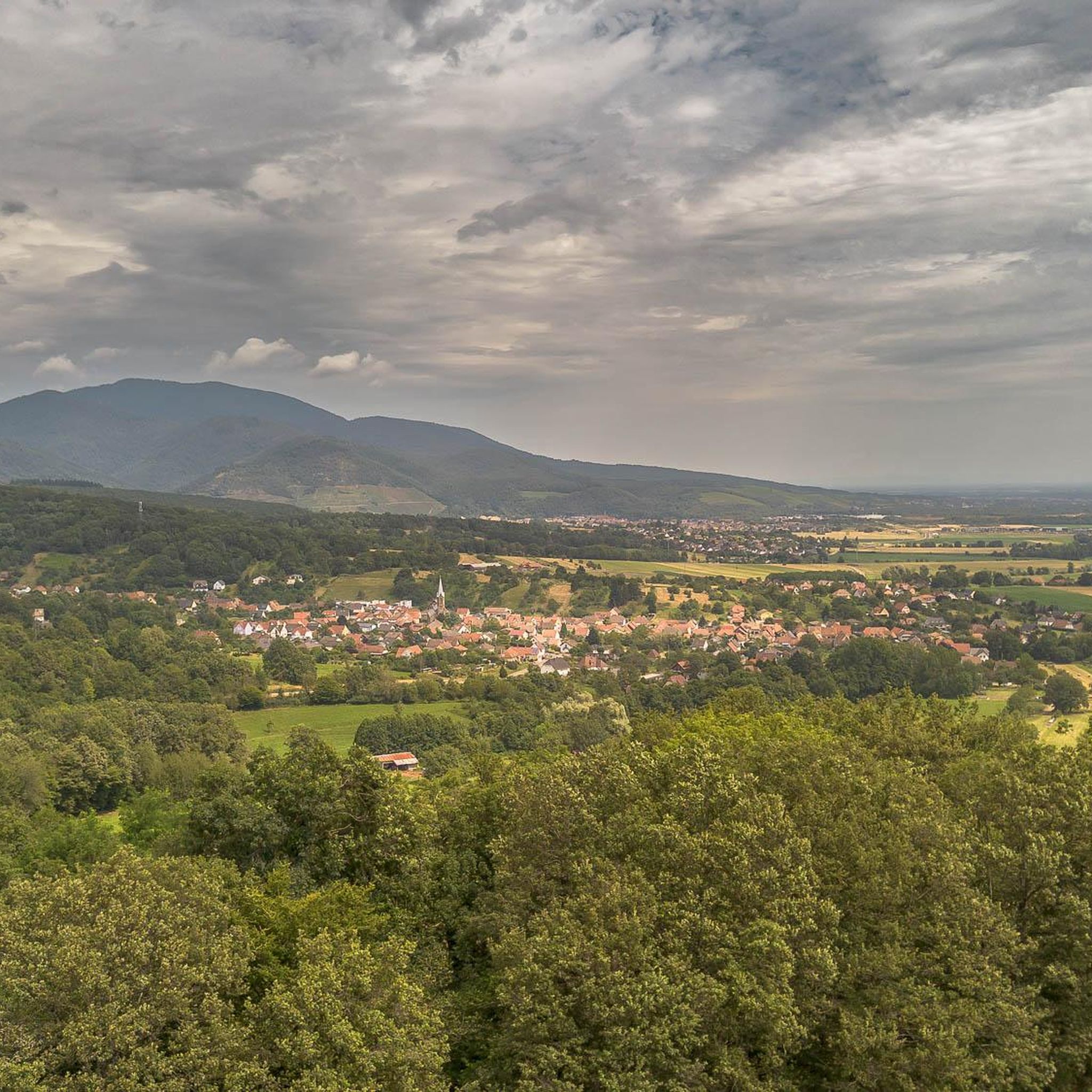
The bare mountain lends itself to beautiful panoramas.
6
0
When you drive from the Route des Crêtes towards Le Grand Ballon, you pass the Col du Haag (1233 m) almost unnoticed. Yet, this pass marks a special point on the southern flank of the highest mountain in the Vosges. Here, steep roads from the Thurdal leave the wooded slopes and reach the open heights of the massif. From the col, a typical Vosges landscape unfolds with mountain meadows, scattered farms, and sweeping views. The proximity of the Grand Ballon is felt everywhere: the imposing summit towers above the pass and forms the natural goal of the final climbing kilometers. For cyclists, the Col du Haag is mainly known as the point where difficult climbs from the valleys converge before the road continues to rise to the highest point of the Vosges.
6
0

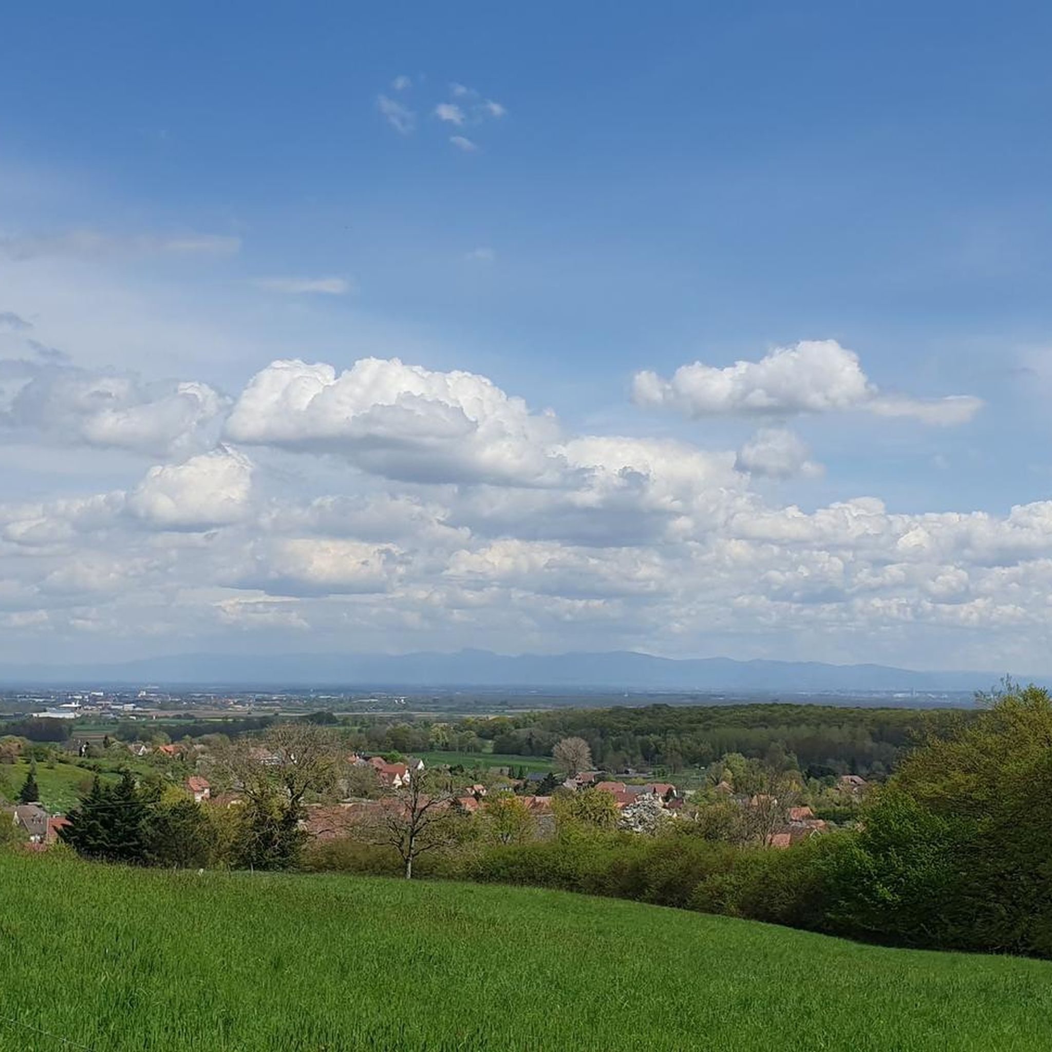
sensational view up to the Alps.
1
0

beautiful path to the summit
0
0

The 14th stage led up here to Le Haag and on to the finish at Le Markstein. You could experience the athletes up close.
0
0
super nice to ride the climb
0
0
Frequently Asked Questions
What kind of terrain can I expect on gravel bike trails around Roderen?
Gravel biking around Roderen offers a diverse mix of landscapes. You'll find significant elevation changes, from rolling hills and valleys to demanding mountain passes in the Vosges Mountains foothills. Expect ample unpaved paths through forests and meadows, alongside quieter country roads and farm tracks. The region's proximity to the Alsace vineyard area also means scenic routes with varied surfaces.
Are there gravel routes suitable for beginners or families in Roderen?
Yes, while many routes feature challenging ascents, Roderen offers options for various fitness levels. There are 5 easy and 12 moderate routes among the 53 available trails. The Sundgau region, for example, has specially adapted gravel trails that incorporate small roads, bike paths, forest trails, and grass paths, offering great variety for less experienced riders or families.
What are some notable natural features or viewpoints I can discover on gravel rides near Roderen?
The region is rich in natural beauty. You can expect panoramic views from mountain passes like the Ballon d'Alsace and Col du Grand Ballon. Col Amic, culminating at 828 meters, offers a long, gentle climb through shady forests. Many routes traverse vast forests and meadows, providing scenic vistas over the Meurthe Valley and the surrounding Vosges Mountains.
Can I find circular gravel bike routes around Roderen?
Yes, many gravel routes in the Roderen area are designed as loops. For instance, the Grand Ballon – Col Amic Pass loop from Steinbach and the Molkenrain - Cernay – Chapelle de la Loh loop from Cernay are popular circular options, allowing you to start and finish at the same point.
What kind of historical landmarks or attractions can I see along the gravel trails?
Beyond the natural landscapes, you can explore several historical sites and castles. Highlights include the intriguing The Witch's Eye (Engelbourg Castle), the Musée de la Porte de Thann, and the Ruins of Freundstein Castle. Many routes also pass through traditional Alsatian villages, offering glimpses of local culture and architecture.
What is the best time of year for gravel biking in Roderen?
The region is generally suitable for gravel biking from spring through autumn. The Vosges Mountains foothills and Alsace vineyard areas offer pleasant conditions during these seasons. While some paths can be quite steep with large boulders, robust tires typical of gravel biking can handle varied surfaces. Winter riding might be possible on lower elevation routes, but higher mountain passes could be affected by snow or ice.
Are there any specific permits required for gravel biking in the Vosges or Alsace regions?
Generally, no specific permits are required for gravel biking on public trails and forest roads in the Vosges and Alsace regions. However, it's always advisable to respect local regulations, especially concerning protected natural areas or private land. Always stay on marked trails to preserve the environment.
Where can I find parking or access gravel trails via public transport in Roderen?
While specific parking areas for each trail vary, many routes start from towns like Steinbach or Cernay, where public parking is typically available. For public transport, check local bus and train services in the Haut-Rhin department. Some regional trains may allow bikes, but it's best to confirm policies and space availability in advance, especially during peak seasons.
What do other gravel bikers enjoy most about riding in Roderen?
The gravel biking routes around Roderen are highly rated by the komoot community, with an average score of 4.6 stars from over 20 reviews. Riders often praise the diverse landscapes, the blend of challenging mountain passes with scenic forest and vineyard paths, and the variety of riding surfaces that keep the experience engaging.
Are there cafes or accommodation options near the gravel biking routes in Roderen?
Riding through villages in the region offers opportunities to experience local culture and cuisine. You'll find cafes, pubs, and accommodation options in towns and villages near the routes, such as Cernay, Steinbach, and other communities in the Haut-Rhin department. These can be convenient for refueling or overnight stays.
What is the most challenging gravel route in the Roderen area?
One of the most challenging routes is the Grand Ballon – Hohneck loop from Cernay. This 93.4 km trail leads through high mountain passes and dense forests, featuring significant elevation gain of almost 2200 meters, and typically takes around 8 hours to complete.
Can I bring my dog on gravel biking trails around Roderen?
Many natural areas and trails in the Vosges and Alsace regions are dog-friendly, provided dogs are kept on a leash and owners clean up after them. However, specific rules can vary by municipality or protected area. It's always best to check local signage or regulations for the particular trail you plan to ride to ensure it's suitable for your dog.
Most popular routes around Roderen
Most popular attractions around Roderen

Get inspired with the komoot mobile app


Explore more
Browse the best Gravel rides in other regions.
