The best gravel rides around Claret
4.3
(3)
22
riders
2
rides
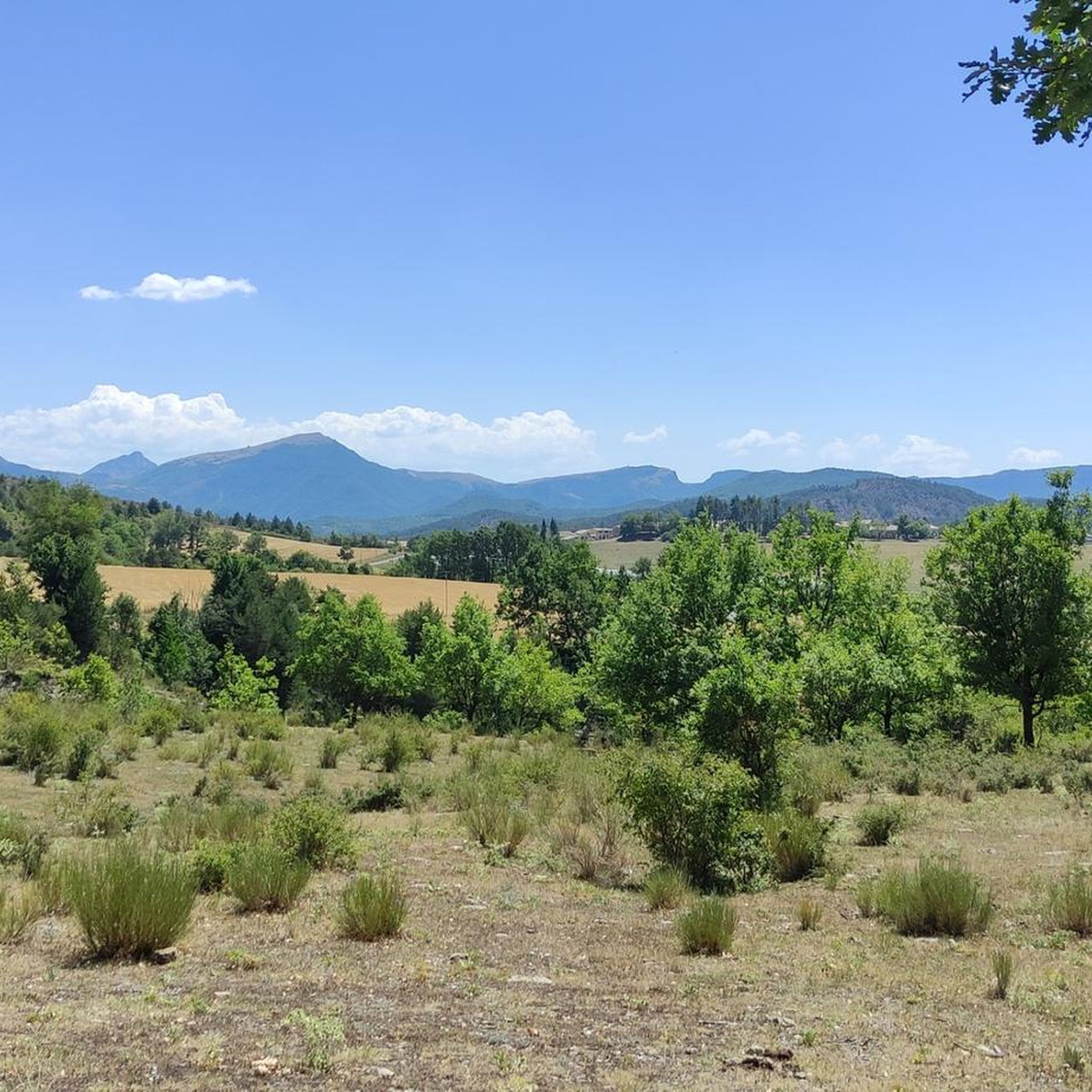
Gravel biking around Claret features a landscape characterized by rolling hills, river valleys, and elevated passes. The region offers varied terrain, from routes alongside waterways like the Le Rousine River and EDF Canal to ascents towards points such as Espréaux Pass and Pic de Crigne. These routes navigate through a mix of open areas and potentially wooded sections, providing diverse gravel biking experiences.
Best gravel bike trails around Claret
- The most popular gravel bike trail is Tallard Castle – Le Rousine Riverbank loop from Lotissement Le Pré du Château, an 11.4 miles (18.4 km) trail that takes 1 hour 32 minutes to complete. This moderate route includes sections along the Le Rousine Riverbank.
- Another top favourite among local gravel bikers is Espréaux Pass – Guérins Pass loop from Sigoyer, a difficult 26.3 miles (42.4 km) path. This route features significant elevation gain as it traverses multiple passes.
- Local gravel bikers also love the Lake Pelleautier – Pelleautier Lake loop from Sigoyer, a 46.5 miles (74.8 km) trail leading through varied terrain around Lake Pelleautier, often completed in about 6 hours 25 minutes.
- Gravel biking around Claret is defined by river valleys, elevated passes, and routes around lakes. The network offers options for both moderate and challenging ability levels.
- The routes in Claret are highly rated by the komoot community with an average score of 4.0 stars from over 3 reviews. More than 20 gravel bikers have used komoot to explore Claret's varied terrain.
Last updated: July 5, 2026
4
riders
17.9km
01:13
250m
250m
Moderate gravel ride. Good fitness required. Mostly paved surfaces. Suitable for all skill levels.
4.0
(1)
9
riders
42.4km
03:19
1,130m
1,130m
Hard gravel ride. Very good fitness required. Mostly paved surfaces. Suitable for all skill levels.

Sign up for free
4.0
(1)
3
riders
74.8km
06:26
1,930m
1,930m
Hard gravel ride. Very good fitness required. Mostly paved surfaces. Suitable for all skill levels.
5.0
(1)
5
riders
34.1km
02:34
870m
870m
Hard gravel ride. Very good fitness required. Mostly paved surfaces. Suitable for all skill levels.
1
riders
41.8km
03:03
880m
880m
Hard gravel ride. Very good fitness required. Mostly paved surfaces. Suitable for all skill levels.
Our route recommendations are based on thousands of hikes, rides, and runs completed by other people on komoot.
Start today with a free account
Your next adventure awaits.
Login or Signup
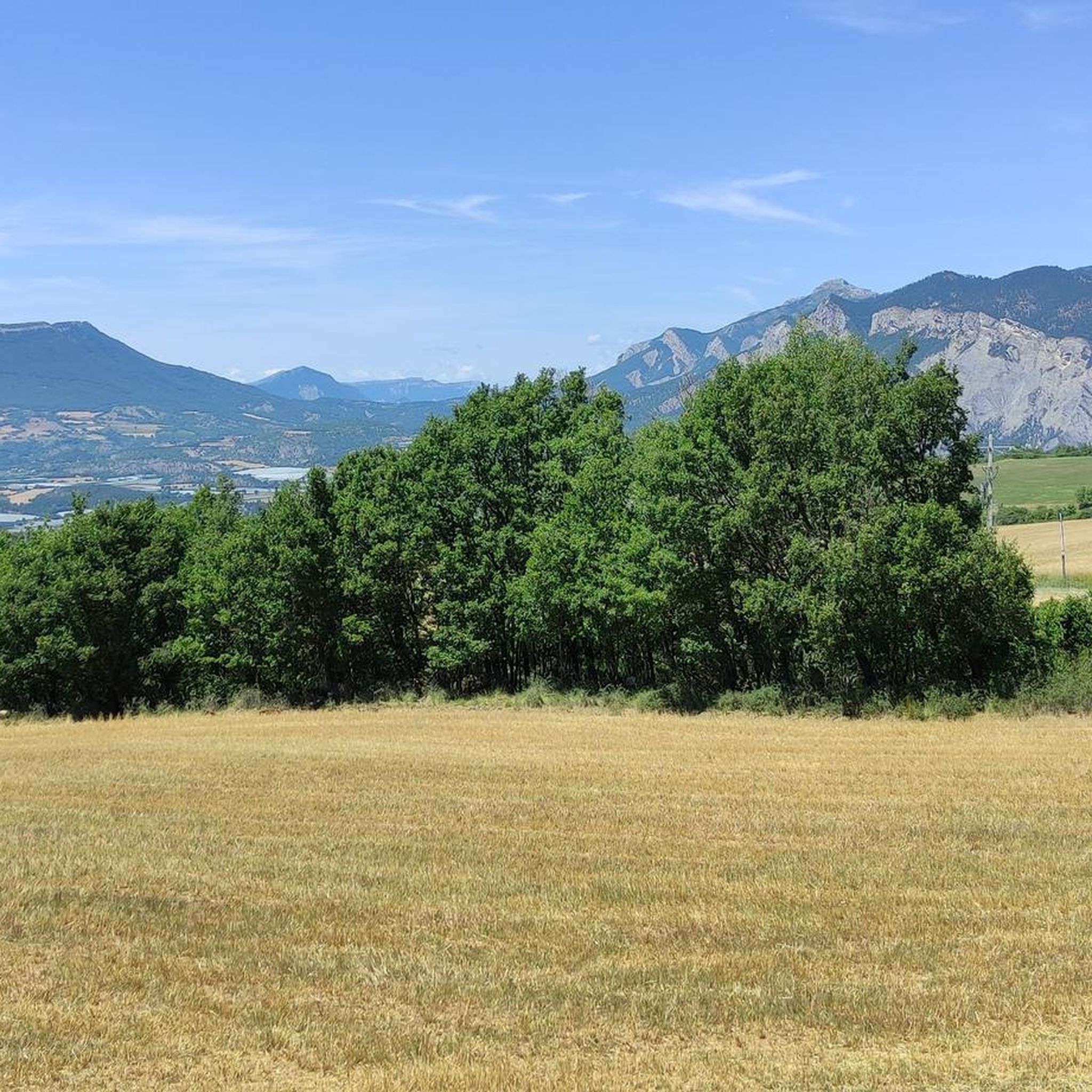
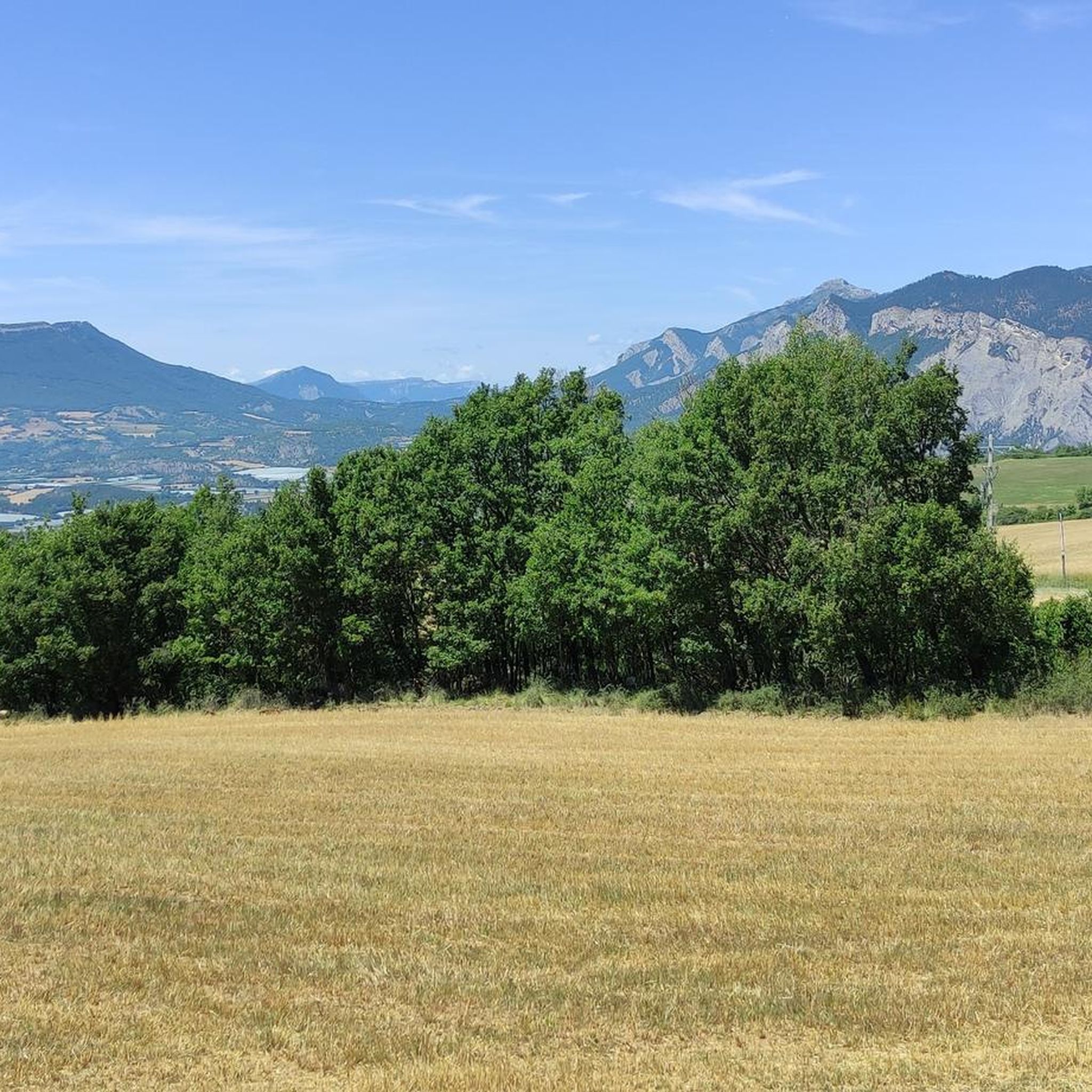
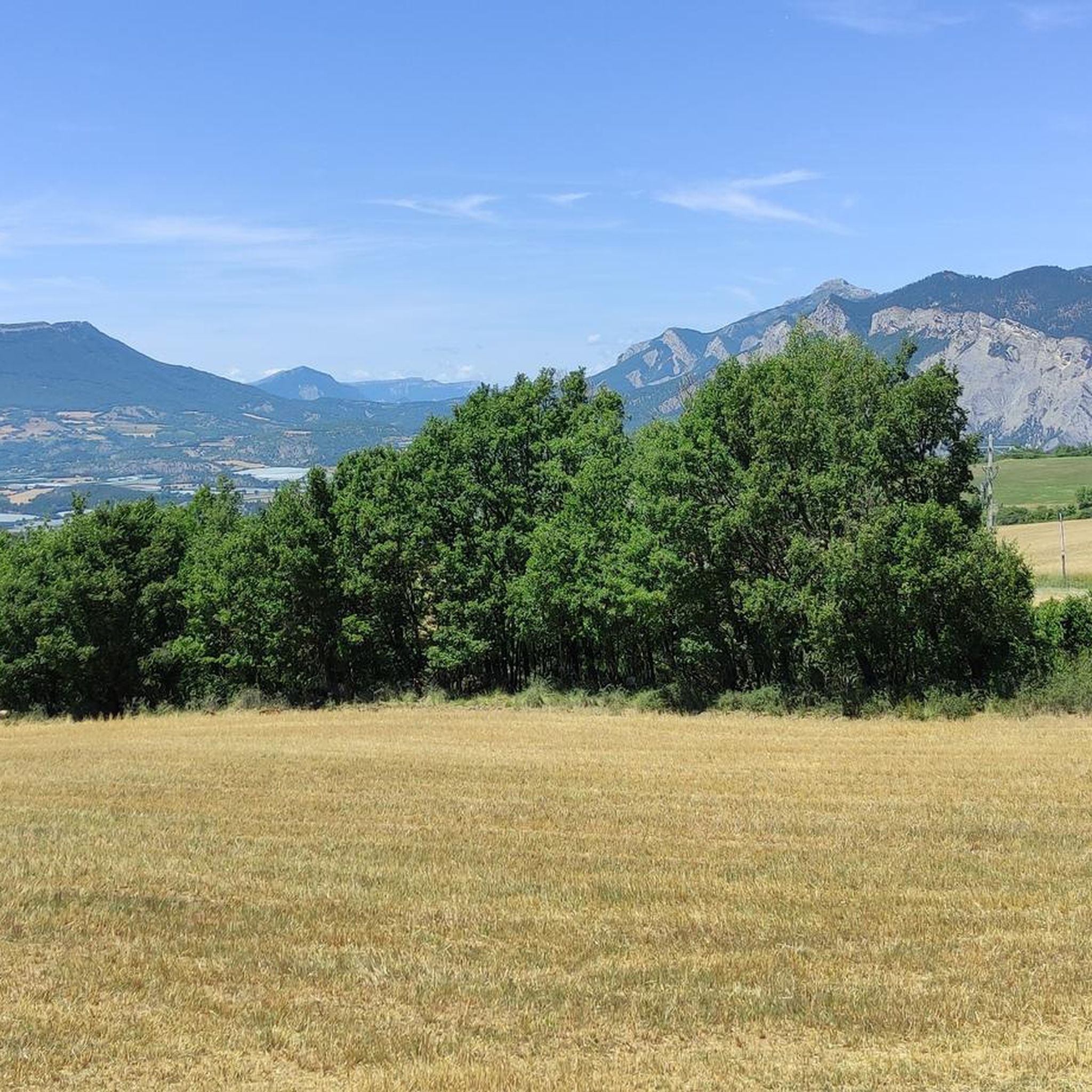
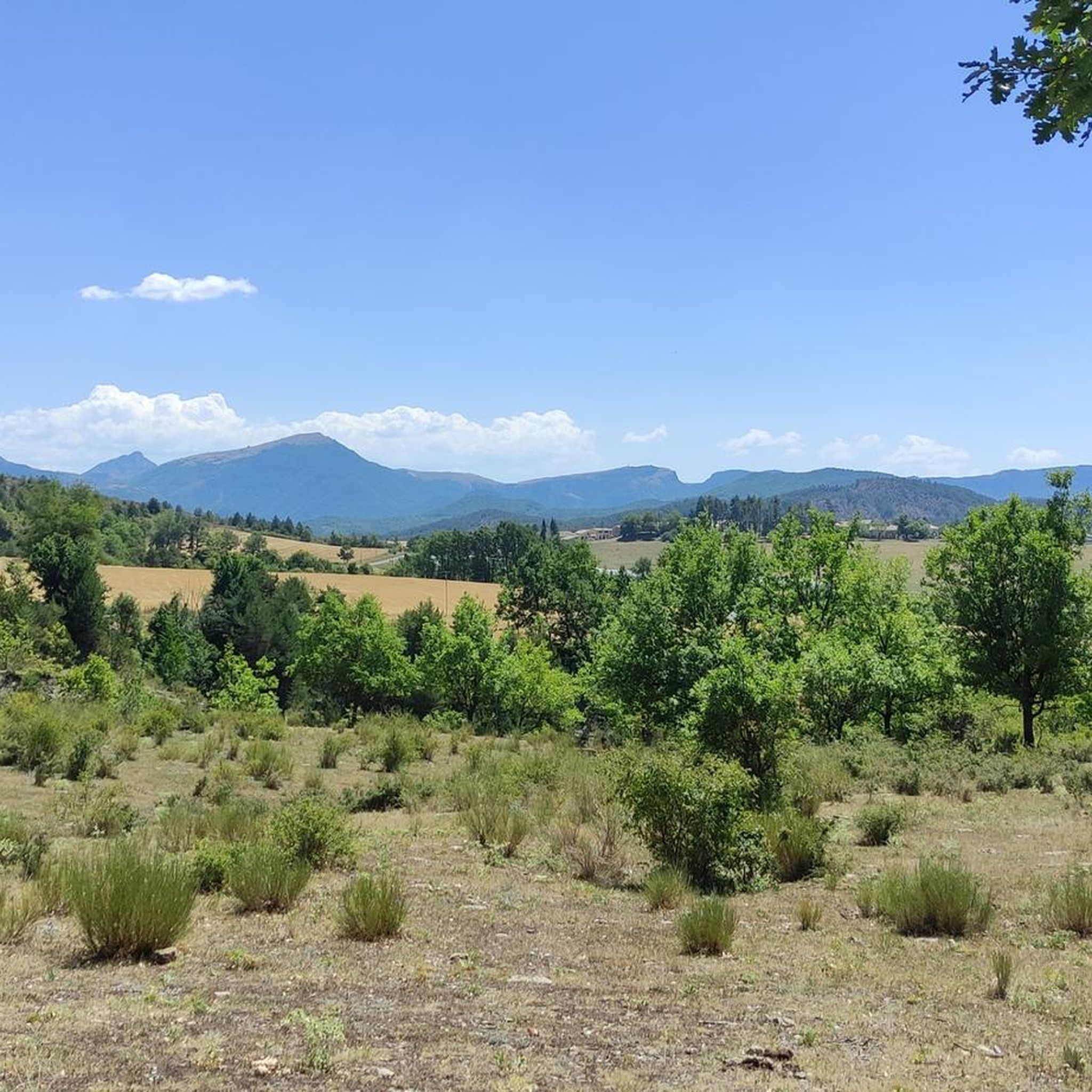
Tips from the Community

The Col de Verniers via Châteauneuf d'Oze is a climb located in the Hautes-Alpes region. This climb is 2.4 km long, with a total elevation gain of 124 m. The Col de Verniers via Châteauneuf d'Oze has an average gradient of 5.1%.
8
0
The Col d'Espreaux is a climb located in the Hautes-Alpes region. This climb is 12.2 km long, with a total elevation gain of 585 m. The Col d'Espreaux has an average gradient of 4.8%.
8
0
The water here is very good and fresh.
7
0
You can safely drink the water here.
7
0
Tallard is a French commune with 1,996 inhabitants located in the Hautes-Alpes department in the Provence-Alpes-Côte d'Azur region. 570-1,121 m above sea level.
7
0
The Col de Foureyssasse from La Saulce is a climb located in the Hautes-Alpes region. This climb is 7 km long, with a total elevation gain of 461 m. The Col de Foureyssasse from La Saulce has an average gradient of 6.6%.
6
0
The Col de Faye is a mountain pass in the Southern Alps, located in the department of Hautes-Alpes at an altitude of approximately 922 to 924 meters. It connects the Buëch valley to the Durance valley — between the municipalities of Savournon and Ventavon — via the departmental road D21.
15
0
Savournon is a small rural commune in southeastern France, located in the department of Hautes-Alpes, in the Provence-Alpes-Côte d'Azur region. It lies in a transition zone between the Alps and the gentler territory of the Buëch valley, creating a landscape of strong contrasts characterized by hills, fields, and wooded areas.
12
0
Frequently Asked Questions
How many gravel bike trails are available around Claret?
Claret offers a selection of gravel bike trails, with at least 3 routes detailed in our guides. These range from moderate to difficult, providing diverse options for different skill levels.
Are there any easy or beginner-friendly gravel bike routes in Claret?
Yes, for those seeking a more moderate experience, the Tallard Castle – Le Rousine Riverbank loop from Lotissement Le Pré du Château is a great option. This 11.4-mile (18.4 km) route includes sections along the Le Rousine Riverbank and is rated as moderate.
What are the options for challenging gravel biking near Claret?
For a more demanding ride, consider the Espréaux Pass – Guérins Pass loop from Sigoyer, a difficult 26.3-mile (42.4 km) path with significant elevation gain. Another challenging option is the Lake Pelleautier – Pelleautier Lake loop from Sigoyer, which spans 46.5 miles (74.8 km) and features varied terrain.
What kind of distances and elevations can I expect on gravel biking routes in Claret?
Gravel biking routes in Claret vary significantly. You can find rides like the Tallard Castle – Le Rousine Riverbank loop at 11.4 miles (18.4 km) with around 250 meters of elevation gain, up to longer, more challenging tours such as the Lake Pelleautier – Pelleautier Lake loop, which covers 46.5 miles (74.8 km) with over 1900 meters of ascent.
Are there any circular gravel bike routes around Claret?
Yes, all the featured gravel bike routes in Claret are designed as loops. This includes popular options like the Tallard Castle – Le Rousine Riverbank loop and the more extensive Pic de Crigne – EDF Canal Cycle Path loop.
What can I see along the gravel bike trails in Claret?
Many routes offer scenic views and pass by interesting landmarks. For instance, the Tallard Castle – Le Rousine Riverbank loop takes you near Tallard Castle. Other routes might lead you past features like the Aqueduc des Sagnieres or through mountain passes such as Faye Pass and Col de Grele.
What is the best time of year for gravel biking in Claret?
The Claret region, with its varied terrain including elevated passes, is generally best explored during spring and autumn. These seasons offer pleasant temperatures and stable weather conditions. Summer can be quite warm, especially in open areas, while winter might bring colder temperatures and potential snow at higher elevations.
Are there any gravel bike trails that pass by lakes or rivers?
Absolutely. The region is characterized by river valleys and lakes. The Tallard Castle – Le Rousine Riverbank loop follows sections of the Le Rousine River. Additionally, the Lake Pelleautier – Pelleautier Lake loop offers extensive riding around Lake Pelleautier.
What do other gravel bikers enjoy the most about gravel biking in Claret?
The area is highly rated by the komoot community, with an average score of 4.0 stars from over 3 reviews. Reviewers often praise the diverse terrain, which includes river valleys, elevated passes, and routes around lakes, offering options for both moderate and challenging ability levels.
Is there public transport access to the gravel bike trailheads in Claret?
Public transport options to specific trailheads in Claret can vary. It's recommended to check the details for each individual tour on komoot, as starting points might be more accessible by car or require local transport arrangements.
Are there any routes that offer views of castles or historical sites?
Yes, the Tallard Castle – View of Château de Tallard loop from Tallard is a great option for this, offering views of the historic Tallard Castle. This route provides both a good ride and a glimpse into the region's heritage.
Most popular attractions around Claret

Get inspired with the komoot mobile app


Explore more
Browse the best Gravel rides in other regions.
