The best road cycling routes around Øyangen
4.0
(2)
38
riders
8
rides
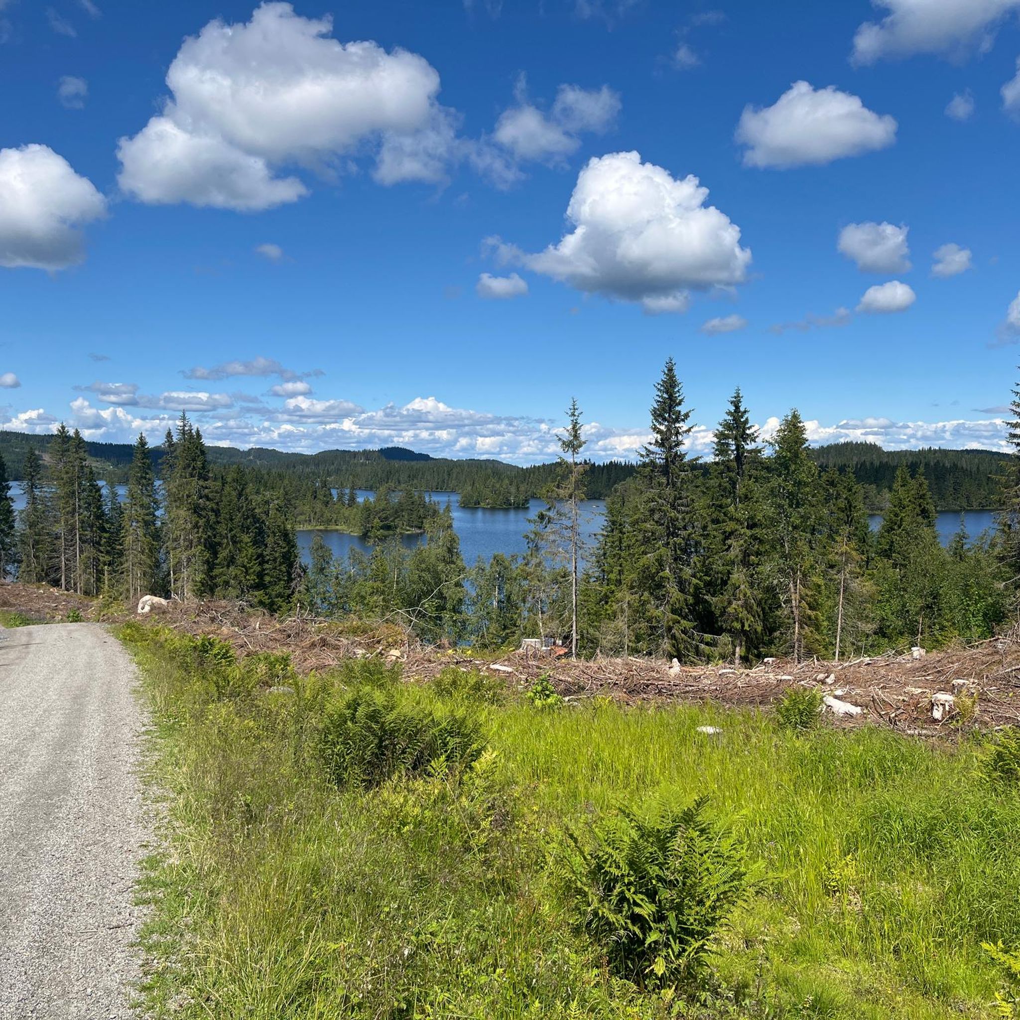
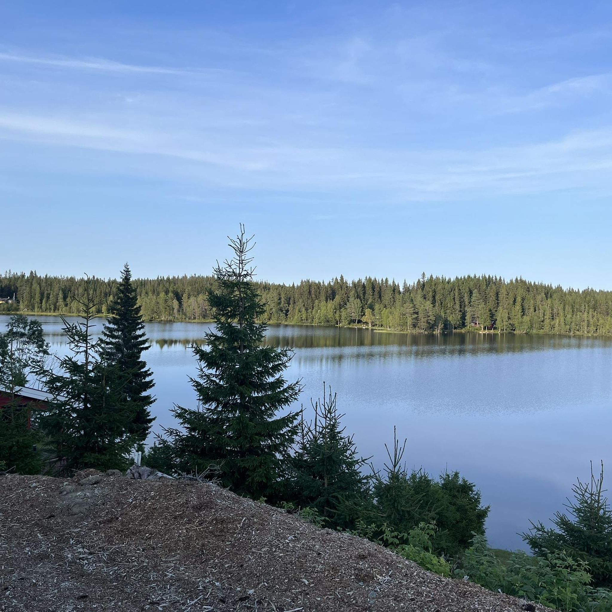
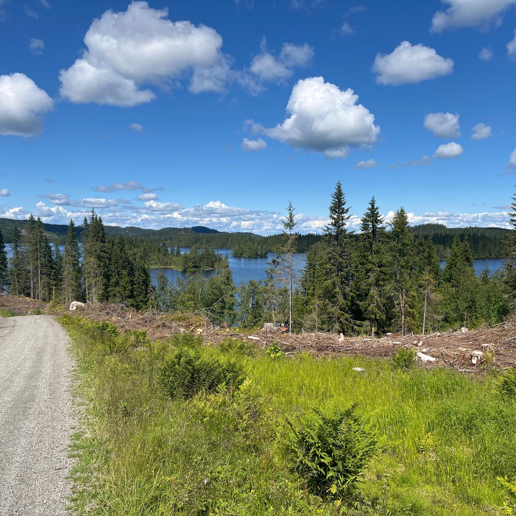
Road cycling around Øyangen, located in Innlandet county, Norway, offers a network of routes through varied terrain. The landscape features extensive wooded areas, quiet country roads, and scenic lake views, particularly around Lake Øyangen. Elevations are generally moderate, providing diverse cycling experiences across the region. The area is characterized by its natural beauty, including views of surrounding mountains like Mugnetind and Bitihorn.
Best road cycling routes around Øyangen
- The most popular road cycling route is Randsfjord Ferry loop from Jevnaker, a 43.8 miles (70.6 km) trail that takes 2 hours 59 minutes to complete. This moderate route features varied terrain and views of the Randsfjorden.
- Another top favourite among local road cyclists is Velofoss loop from Jevnaker, a moderate 18.1 miles (29.1 km) path. This route offers a shorter ride through the local landscape with an elevation gain of 1,185 feet (361 meters).
- Local road cyclists also love the Velofoss – Jørnsbrannshaugen loop from Toso, a 44.7 miles (72.0 km) trail leading through varied terrain with significant climbs, often completed in about 3 hours 29 minutes.
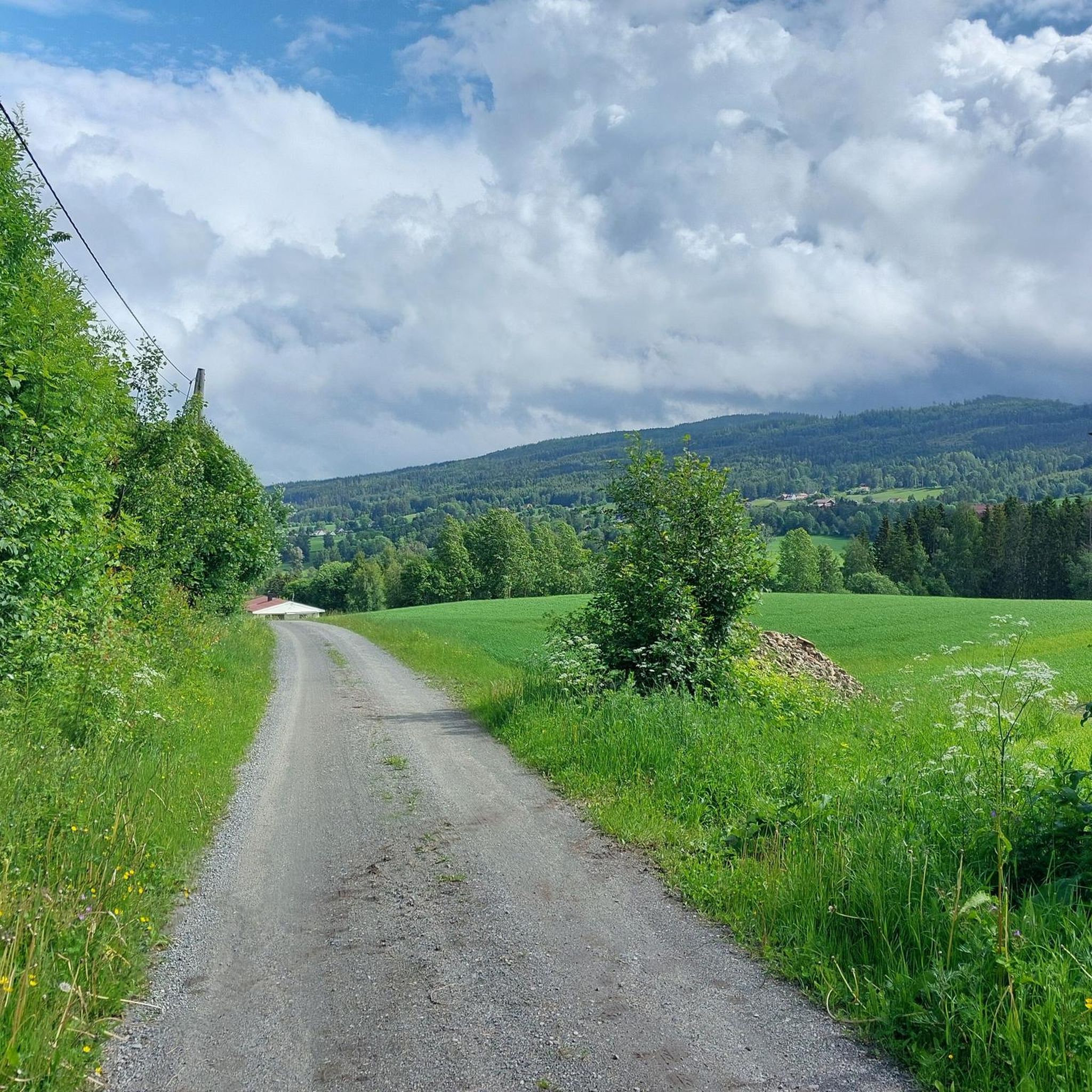
- Road cycling around Øyangen is defined by extensive wooded areas, quiet country roads, and scenic lake views. The network offers options for different ability levels, from moderate loops to more challenging routes with substantial elevation gain.
- The routes in Øyangen are highly rated by the komoot community with an average score of 4.0 stars from over 2 reviews. More than 40 road cyclists have used komoot to explore Øyangen's varied terrain.
Last updated: July 10, 2026
11
riders
70.6km
03:00
560m
560m
Moderate road ride. Good fitness required. Mostly well-paved surfaces and easy to ride.
3.0
(1)
7
riders
29.3km
01:23
360m
360m
Moderate road ride. Good fitness required. Mostly well-paved surfaces and easy to ride.

Sign up for free
5.0
(1)
7
riders
47.9km
02:23
680m
680m
Moderate road ride. Good fitness required. Some segments of this route may be unpaved and difficult to ride.
5
riders
71.6km
03:27
960m
960m
Hard road ride. Very good fitness required. Some segments of this route may be unpaved and difficult to ride.
8
riders
26.5km
01:19
370m
370m
Moderate road ride. Good fitness required. Mostly well-paved surfaces and easy to ride.
Get access to more routes and recommendations from other explorers.
Sign up for free
Already have an account?
Our route recommendations are based on thousands of hikes, rides, and runs completed by other people on komoot.
Start today with a free account
Your next adventure awaits.
Login or Signup
Tips from the Community

Fun gravel section downhill, but keep aware of traffic if need be :)
0
0

The first church stood here as early as 1170. The current church is built of local sandstone and limestone.
5
0


Little church with music program
1
0
Frequently Asked Questions
How many road cycling routes are available around Øyangen?
There are over a dozen road cycling routes around Øyangen, offering a variety of experiences through the region's extensive wooded areas and along quiet country roads. You'll find options ranging from moderate loops to more challenging rides with significant elevation gain.
What kind of terrain can I expect on road cycling routes near Øyangen?
The terrain around Øyangen is varied, featuring winding paths through forests and scenic stretches near lakes like Randsfjorden. While elevations are generally moderate, some routes include substantial climbs, providing diverse cycling experiences across the landscape of Nordmarka.
Are there any challenging road cycling routes for experienced riders?
Yes, for experienced riders seeking a challenge, routes like the Bjertnesbråtan – Brandbu loop from Gunstad stasjon offer significant climbs and cover nearly 80 km. Another difficult option is the Velofoss – Jørnsbrannshaugen loop from Toso, which features over 960 meters of elevation gain over 72 km.
What are some popular moderate road cycling routes around Øyangen?
Many road cyclists enjoy moderate routes such as the Randsfjord Ferry loop from Jevnaker stasjon, which is 71.5 km and offers varied terrain with views of the Randsfjorden. Another popular choice is the shorter Velofoss loop from Jevnaker, a 29.1 km path with an elevation gain of 361 meters.
Are there any circular road cycling routes in the Øyangen area?
Yes, many of the routes around Øyangen are designed as loops, allowing you to start and end at the same point. Examples include the Randsfjord Ferry loop from Jevnaker stasjon and the Grunningen loop from Jevnaker stasjon, both offering scenic circular rides.
What can I see along the road cycling routes around Øyangen?
While cycling around Øyangen, you'll experience extensive wooded areas and scenic lake views, particularly near Randsfjorden. The wider Ringerike region also boasts impressive viewpoints like Kongens Utsikt and Dronningens Utsikt, offering panoramic vistas of the landscape, including the Tyrifjorden.
What do other road cyclists enjoy most about road cycling in Øyangen?
The area is highly rated by the komoot community, with an average score of 4.0 stars. Road cyclists often praise the quiet country roads, the varied terrain through forests, and the scenic stretches along the lakes, which provide a peaceful and engaging cycling experience.
Are there any cultural attractions near the road cycling routes?
In the wider Ringerike area, you can find cultural attractions such as the Kistefos Museum, which combines industry, sculpture, and architecture, and Hadeland Glassverk. These can be interesting stops if you plan a longer trip or are looking for activities off the bike.
What is the best time of year for road cycling around Øyangen?
The best time for road cycling around Øyangen is typically during the warmer months, from late spring to early autumn, when the roads are clear of snow and ice, and the weather is most favorable for outdoor activities. This allows for comfortable riding through the wooded areas and along the lakes.
Is public transport available to access road cycling routes near Øyangen?
Many routes, such as the Randsfjord Ferry loop and Grunningen loop, start from Jevnaker stasjon, suggesting accessibility via public transport. For specific details on train or bus connections to starting points, it's advisable to check local public transport schedules.
Are there options for family-friendly road cycling around Øyangen?
While the guide focuses on road cycling, the region's varied terrain and quiet country roads can offer suitable sections for families. For dedicated family-friendly routes, look for shorter, flatter sections or consider exploring the broader network of paths in Nordmarka that might be less demanding.
Most popular routes around Øyangen

Get inspired with the komoot mobile app


Explore more
Browse the best Road cycling routes in other regions.
