The best gravel rides around Bonvillaret
5.0
(2)
20
riders
5
rides
Gravel biking around Bonvillaret, located in the Savoie department of the Auvergne-Rhône-Alpes region, offers diverse terrain for exploration. The area is characterized by a mountainous landscape, with elevations ranging from 304 meters at the valley floor to 2,363 meters at the summit of Petit Arc. This varied topography includes foothills of the Grand Arc massif, extensive forests, and alpine pastures, providing a dynamic environment for gravel exploration on unpaved roads and tracks. Riders can expect a mix of challenging climbs…
Last updated: July 15, 2026
5
riders
107km
08:27
2,410m
2,410m
Hard gravel ride. Very good fitness required. You may need to push your bike for some segments of this route.
5.0
(2)
2
riders
31.4km
02:00
310m
310m
Moderate gravel ride. Good fitness required. Mostly paved surfaces. Suitable for all skill levels.

Sign up for free
2
riders
37.7km
02:35
580m
580m
Hard gravel ride. Very good fitness required. Mostly paved surfaces. Suitable for all skill levels.
4
riders
49.2km
03:37
1,110m
1,110m
Hard gravel ride. Very good fitness required. Mostly paved surfaces. Suitable for all skill levels.
7
riders
47.6km
02:56
300m
300m
Moderate gravel ride. Good fitness required. Mostly paved surfaces. Suitable for all skill levels.
Our route recommendations are based on thousands of hikes, rides, and runs completed by other people on komoot.
Start today with a free account
Your next adventure awaits.
Login or Signup
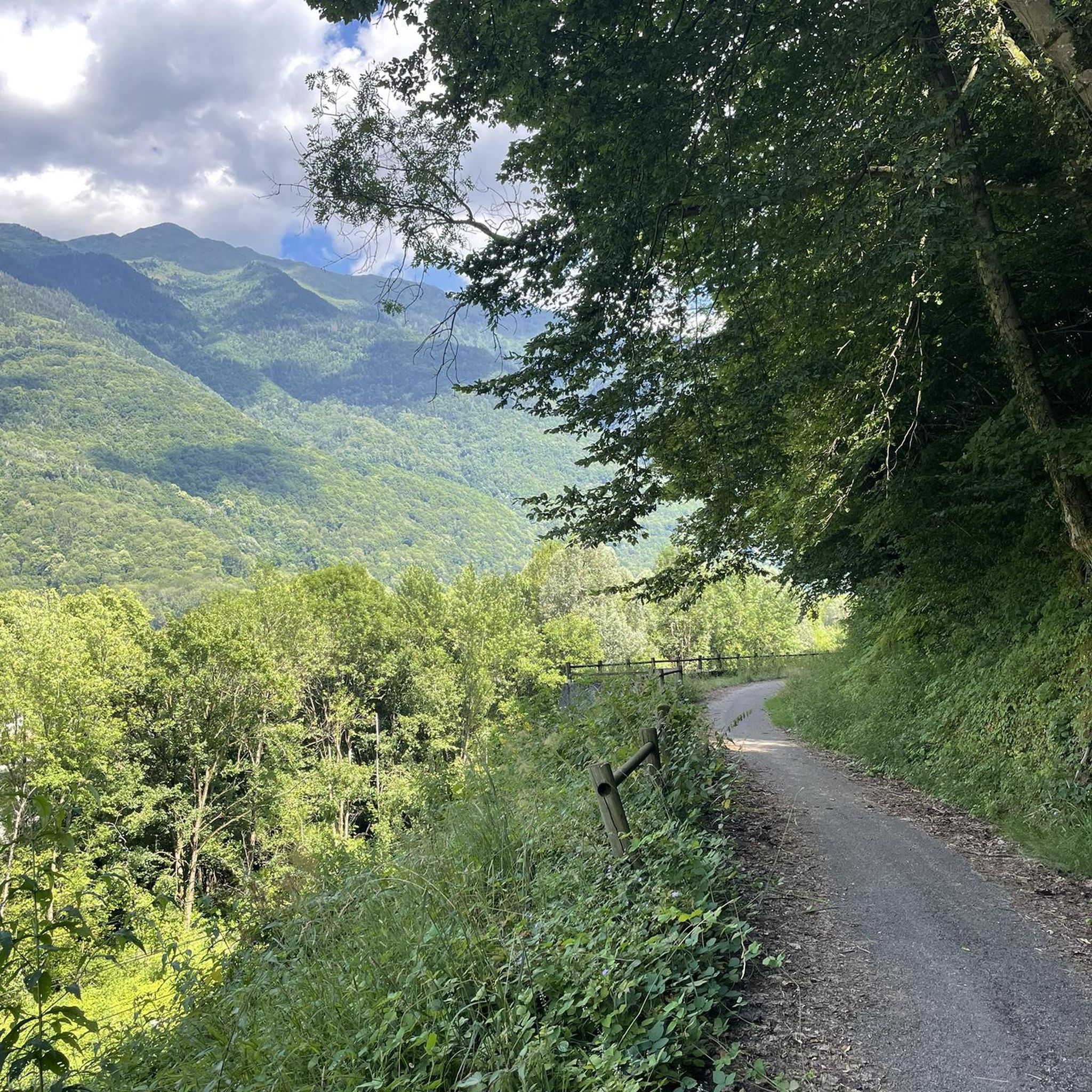
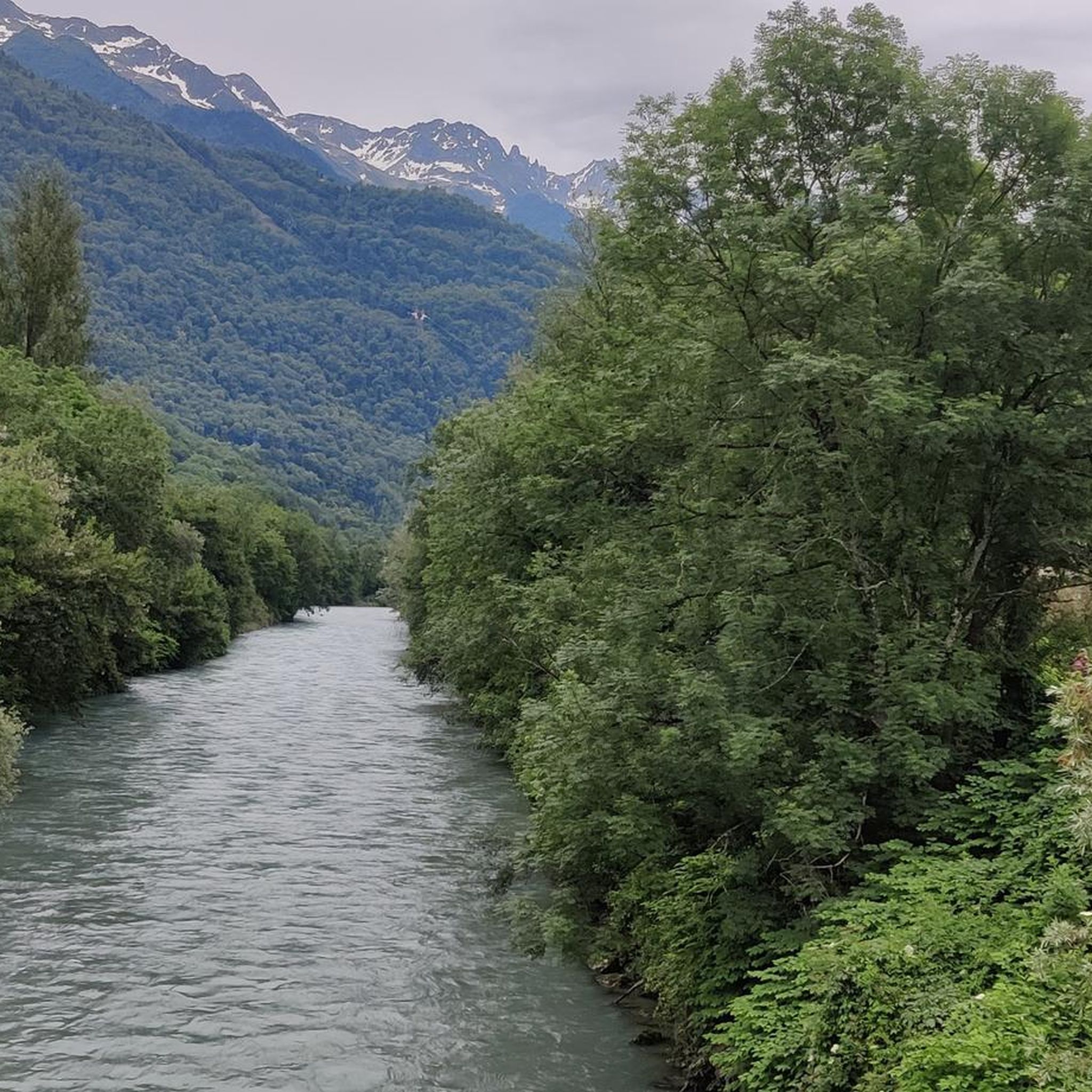
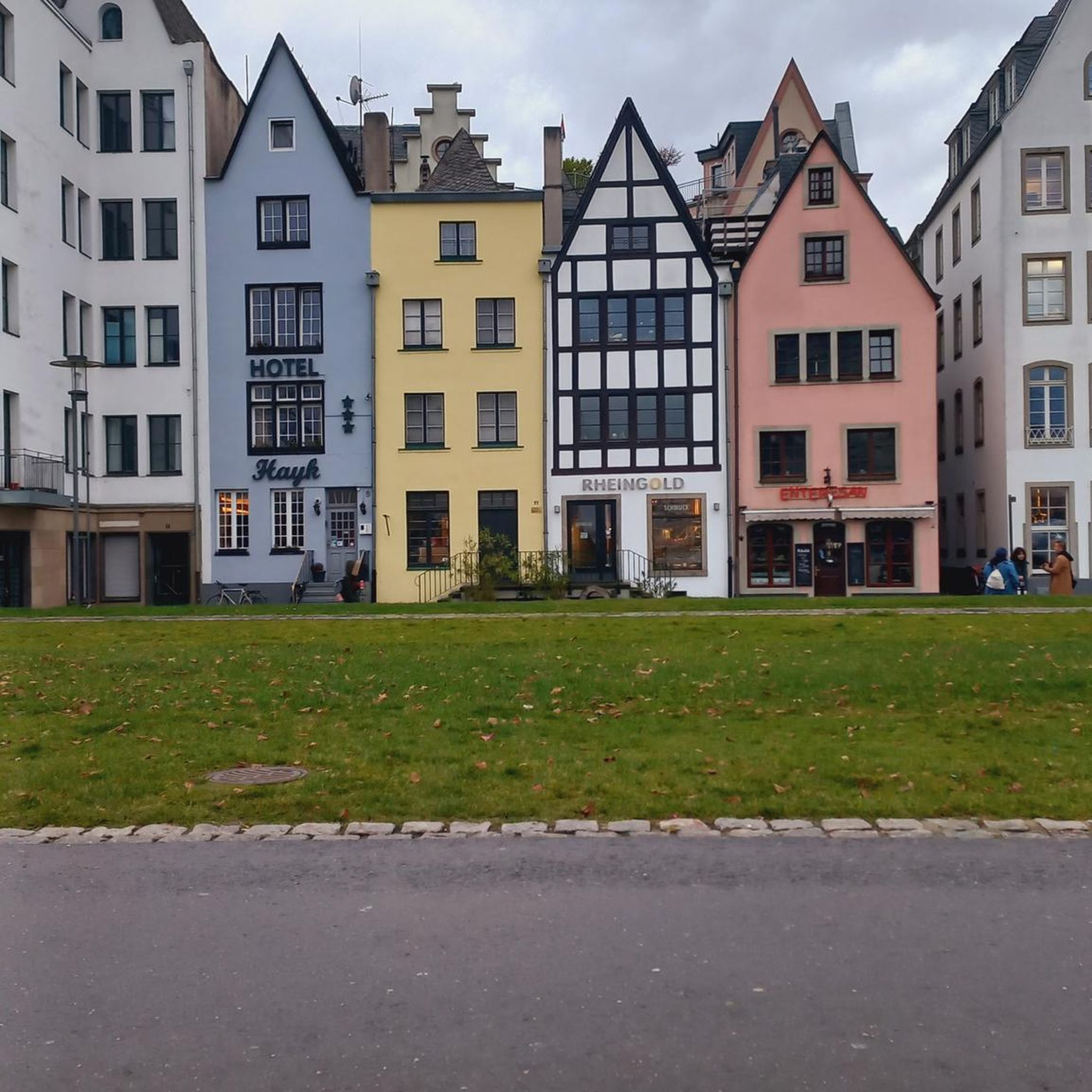
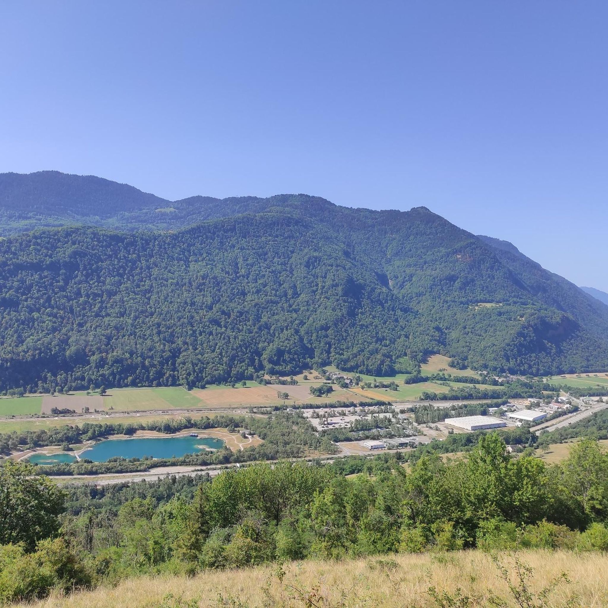

Tips from the Community


Ideally located along the Bella Via about fifteen kilometers from Albertville, cyclists can stop to refill their bottles and cool off. Other activities such as fishing or tennis are also practiced here. Surrounding massifs: Bauges to the north, Belledonne and Vanoise to the south
0
0

Beautiful church and small water spot.
2
0
Beautiful cycle path along the Isere.
2
0
Beautiful old town of Albertville.
2
0

Surrounded by mountains, a castle, vineyards, fields, and streams, what more could you ask for
0
0
Every cemetery has water... Drinkable or not 😂
0
0
The place is clean and pleasant. There's room for everyone: fishermen, walkers, swimmers, cyclists...
0
0
Frequently Asked Questions
How many gravel bike trails are available around Bonvillaret?
There are 12 gravel bike trails around Bonvillaret, offering a diverse range of experiences. You'll find 5 moderate routes and 7 challenging ones, catering to various skill levels.
What kind of terrain can I expect on gravel bike trails in Bonvillaret?
Gravel biking around Bonvillaret offers a dynamic mix of mountainous terrain, from valley floors at 304 meters to the foothills of the Grand Arc massif. You'll encounter challenging climbs and scenic descents on unpaved roads, forest tracks, and paths through alpine pastures, all within a region known for its 'coasts' and ample sunshine.
Are there any family-friendly gravel biking options near Bonvillaret?
While many routes in the immediate Bonvillaret area are rated moderate to difficult due to the mountainous terrain, you can find more accessible sections or explore the 'des hameaux et des vignes' circuit mentioned in the region research, which offers scenic views and may be adaptable for families seeking less strenuous rides. For a moderate option, consider the View of Château de Miolans – Bike path loop from Frontenex, which has significantly less elevation gain.
What are some notable viewpoints or natural features I can see along the gravel routes?
From Bonvillaret itself, you can enjoy magnificent panoramic views, including the Aiguilles d'Arves. Many routes offer vistas over the Combe de Savoie and the entrance to the Maurienne Valley. You might also pass by significant peaks like Dent d'Arclusaz or Mont d'Armenaz, or explore the forests leading to authentic hamlets and alpine pastures like La Platière.
What is the best time of year for gravel biking in Bonvillaret?
The region benefits from ample sunshine, making spring through autumn ideal for gravel biking. During these seasons, you'll find the trails clear and the weather pleasant for exploring the diverse landscapes. Winter conditions can bring snow to higher elevations, making some routes impassable or requiring specialized equipment.
Are there any long-distance or challenging gravel routes for experienced riders?
Absolutely. Bonvillaret is situated in a region known for its challenging alpine gravel biking. For experienced riders, routes like the difficult Col du Grand Cucheron – Col du Grand Cucheron loop from Argentine cover over 100 km with significant elevation gain. Another demanding option is the Grignon Lake – Véloroute 62 loop from Montsapey, which is over 130 km long and features substantial climbing.
Can I find circular gravel bike routes in the Bonvillaret area?
Yes, many of the gravel routes around Bonvillaret are designed as loops, allowing you to start and finish at the same point. Examples include the Épine Pass – Tamié Pass loop from Grésy-sur-Isère, which takes you through mountain passes, and the Col des Aravis – Col de l'Arpettaz loop from Cevins, offering another extensive circular challenge.
What do other gravel bikers enjoy most about gravel biking in Bonvillaret?
The area is highly rated by the komoot community, with an average score of 4.8 stars. Reviewers often praise the diverse mountainous terrain, the extensive network of forest tracks, and the sense of adventure found on the unpaved roads. The stunning panoramic views over the Combe de Savoie and Maurienne Valley are also frequently highlighted.
Are there any cafes or places to stop for refreshments along the gravel trails?
While specific cafes directly on remote gravel trails might be limited, many routes pass through or near authentic hamlets and villages where you can find local establishments. It's always a good idea to plan your route and check for amenities in towns like Bonvillaret or nearby larger villages before you set out.
Is Bonvillaret well-connected by public transport for accessing gravel trails?
Bonvillaret is a charming village in the Savoie department. While public transport options might be less frequent than in major cities, regional buses or train services to nearby towns could provide access points. It's advisable to check local transport schedules in advance, especially if you plan to access trails without a car. For more local information, you can consult the Porte de Maurienne Tourisme website.
What are the elevation gains like on gravel routes around Bonvillaret?
Given Bonvillaret's mountainous setting on the foothills of the Grand Arc massif, you can expect significant elevation gains on most gravel routes. For example, the Grignon Lake – Véloroute 62 loop from Montsapey features over 2,800 meters of ascent, while the Col du Grand Cucheron – Col du Grand Cucheron loop from Argentine includes over 2,400 meters of climbing. Even moderate routes will involve some climbing, reflecting the region's varied topography.
Most popular routes around Bonvillaret
Most popular attractions around Bonvillaret

Get inspired with the komoot mobile app


Explore more
Browse the best Gravel rides in other regions.
