The best walks and hikes around Bonvillaret
4.6
(90)
990
hikers
61
hikes
Hiking around Bonvillaret, situated in the western foothills of the Grand Arc massif in Savoie, France, offers diverse landscapes for outdoor exploration. The region features marked trails that traverse forests, ascend to alpine pastures, and pass through historic vineyard areas. Hikers can experience varied terrain, from sunny slopes with panoramic views over the Combe de Savoie to more challenging ascents towards higher elevations.
Best hiking trails around Bonvillaret
- The most popular hiking route is Le grand Arc – Lac Noir…
Last updated: July 1, 2026
4.9
(21)
192
hikers
11.2km
04:53
940m
940m
Hard hike. Very good fitness required. Mostly accessible paths. Sure-footedness required.
5.0
(3)
34
hikers
10.6km
05:35
1,040m
1,040m
Hard hike. Very good fitness required. Sure-footedness, sturdy shoes and alpine experience required.

Sign up for free
4.0
(1)
26
hikers
9.71km
04:10
730m
730m
Hard hike. Good fitness required. Sure-footedness, sturdy shoes and alpine experience required.
5.0
(1)
22
hikers
12.2km
04:37
820m
820m
Moderate hike. Good fitness required. Easily-accessible paths. Suitable for all skill levels.
5.0
(2)
19
hikers
2.70km
00:54
130m
130m
Easy hike. Great for any fitness level. Easily-accessible paths. Suitable for all skill levels.
Get access to more routes and recommendations from other explorers.
Sign up for free
Already have an account?
Our route recommendations are based on thousands of hikes, rides, and runs completed by other people on komoot.
Start today with a free account
Your next adventure awaits.
Login or Signup
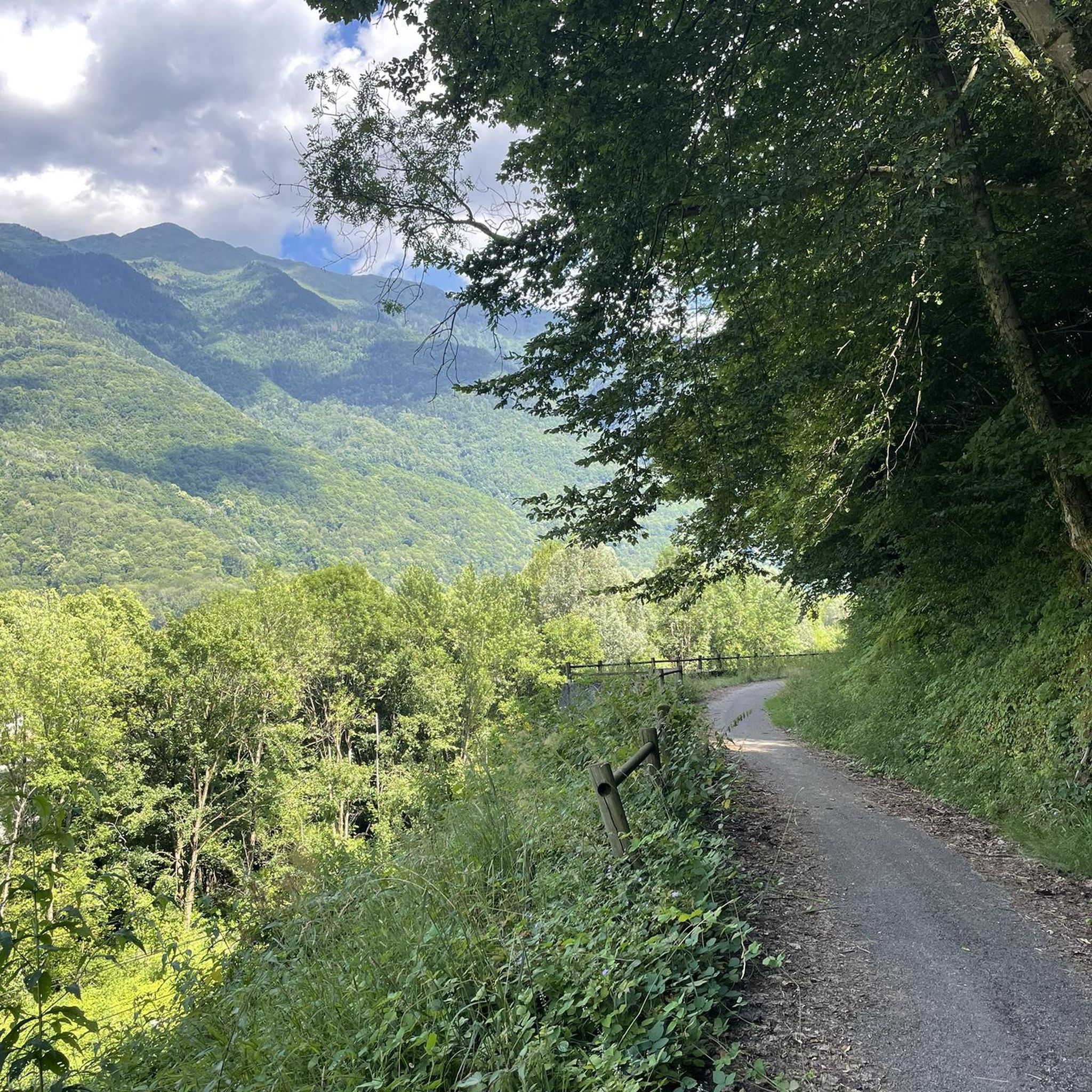
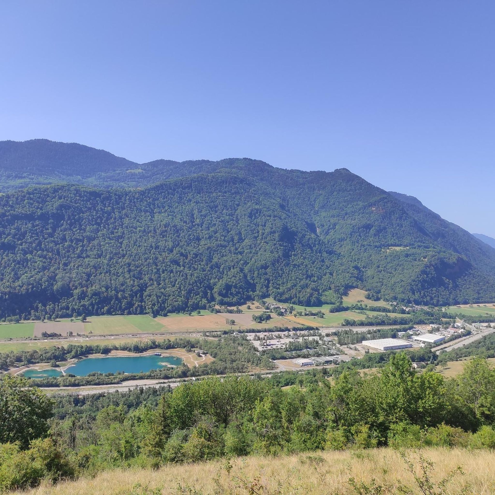


Tips from the Community

A sustained climb from Chamoux; for those with the best tire equipment (minimum 25" 4 seasons), it's possible to climb all the way to the Fort itself!
0
0

Ascent of the black lake on snowshoes from Auberge du lac noir.
0
0

The Grand Arc is located at 2,484 meters. From here there are splendid views of Mont Blanc, Vanoise and Bauges.
0
0


The Montgilbert fort is located at an altitude of 1,630 meters and dates from the 1880s. It then allowed the surveillance of the Arc valley, the According to valleys and the Cucheron pass. It is no longer possible to visit it, but you can get a good overview by approaching the entrance.
0
0

Great 360 degree views. West across the large open Valley towards Chambery. Brilliant views East/South East looking up towards the Vanoise and Courchevel with a clear sight of the Dent du Villard and Courchevel 1650 from a far.
0
0

This lake really lives up to it's name. Black as night!
2
0

Frequently Asked Questions
How many hiking trails are available in Bonvillaret?
Bonvillaret offers a diverse network of over 60 hiking trails. These routes cater to various skill levels, including 10 easy, 27 moderate, and 23 difficult options, ensuring there's a suitable path for every hiker.
What kind of terrain can I expect on hikes around Bonvillaret?
Hikes around Bonvillaret feature a varied landscape, from marked trails winding through dense forests to ascents leading to expansive alpine pastures. You'll also find paths traversing sunny slopes that once hosted extensive vineyards, offering magnificent viewpoints over the Combe de Savoie and the valley entrance.
Are there easy hiking options for beginners or families in Bonvillaret?
Yes, Bonvillaret has 10 easy hiking routes suitable for beginners or families. These often involve minimal elevation gain and can be completed in under two hours, providing a gentle introduction to the region's natural beauty. An example is the Le grand Arc loop from Tioulévé, which is an easy 2.7 km path.
Are there challenging hikes for experienced trekkers in Bonvillaret?
Absolutely. For experienced trekkers, Bonvillaret offers 23 difficult routes, many of which involve significant elevation gain and sustained climbing towards higher alpine areas like Grand Arc. These more strenuous hikes can last over five hours and require good fitness and alpine experience, rewarding you with expansive views.
What scenic viewpoints can I find on hikes in Bonvillaret?
Many trails in Bonvillaret lead to superb viewpoints. From the village church square, you can enjoy a wide vista, and on clear days, even spot the Aiguilles d'Arves. Higher routes, such as those ascending towards Grand Arc, provide panoramic views over the Combe de Savoie and the surrounding alpine landscape.
Are there any cultural or historical points of interest to see while hiking?
Yes, Bonvillaret is rich in cultural heritage. As you hike, you might encounter traditional granaries, communal bread ovens, and the notable 'maison de la voûte' (vaulted house). The neoclassical church in the village is also considered one of the most beautiful in Maurienne, and each hamlet retains its own bread oven and basin.
Can I bring my dog on the hiking trails in Bonvillaret?
While specific restrictions can vary by trail or protected area, generally, dogs are welcome on many hiking trails in Bonvillaret. It's always recommended to keep them on a leash, especially in alpine pastures where livestock may be present, and to ensure you clean up after them. Check local signage for any specific rules.
Are there circular hiking routes in Bonvillaret?
Yes, Bonvillaret features several circular hiking routes. A popular example is the 'des hameaux et des vignes' circuit, which offers magnificent viewpoints over the Combe de Savoie. Another option is the Blueberry field – Char de la Turche loop from Randens, a 9.7 km trail through forests and open fields.
What do other hikers say about the trails in Bonvillaret?
The trails in Bonvillaret are highly rated by the komoot community, with an average score of 4.6 stars from over 80 reviews. Hikers often praise the diverse terrain, from dense forests to alpine pastures, and the stunning panoramic views over the Combe de Savoie. Many appreciate the variety of routes available for different fitness levels.
What are some notable natural landmarks or peaks I can explore near Bonvillaret?
The region around Bonvillaret is home to several impressive natural landmarks and peaks. You can explore summits like Dent d'Arclusaz, Mont d'Armenaz, and Fougère Peak. These offer challenging ascents and rewarding views of the Grand Arc massif and beyond.
Are there amenities like picnic spots or water points along the trails?
Yes, along certain routes in Bonvillaret, you'll find amenities designed for hikers' comfort. These can include picnic tables for a scenic break, dry toilets, and water points, particularly in or near hamlets, making longer excursions more convenient.
What is the best season to go hiking in Bonvillaret?
The best season for hiking in Bonvillaret is generally from spring through autumn. During these months, the weather is more favorable, and trails are typically clear of snow, allowing access to higher alpine pastures. Spring brings blooming wildflowers, while autumn offers vibrant foliage. Some lower-elevation trails may be accessible in winter, but conditions can be challenging.
Is public transport available to reach the trailheads in Bonvillaret?
Public transport options directly to all trailheads in Bonvillaret can be limited due to its rural setting. It is advisable to check local bus schedules or consider driving to access the starting points of many hikes. For more detailed information on local transport, you may consult the Portes de Maurienne tourism website.
Where can I find parking for hiking trails in Bonvillaret?
Parking is generally available in or near the village of Bonvillaret and its various hamlets, which often serve as starting points for trails. Specific parking areas may be designated near popular trailheads. It's recommended to arrive early during peak season to secure a spot.
Most popular routes around Bonvillaret
Most popular attractions around Bonvillaret

Get inspired with the komoot mobile app


Explore more
Browse the best Hikes in other regions.
