The best running trails around Bonvillaret
4.3
(14)
623
runners
57
runs
Jogging routes around Bonvillaret are situated in the Savoie department of the Auvergne-Rhône-Alpes region, characterized by its mountainous terrain on the western foothills of the Grand Arc massif. The landscape features varying elevations, from valley floors to higher slopes, offering diverse running environments. Rural areas include "côtes" (slopes) and scattered hamlets, alongside remnants of ancient vineyards on sunny hillsides. This setting provides a range of jogging experiences from shaded forest paths to open, sunny vineyard routes.
Best jogging routes around…
Last updated: July 1, 2026
5.0
(1)
11
runners
15.0km
03:27
1,360m
1,360m
Hard run. Very good fitness required. Sure-footedness, sturdy shoes and alpine experience required.
8
runners
14.2km
01:32
190m
190m
Moderate run. Good fitness required. Mostly paved surfaces. Suitable for all skill levels.

Sign up for free
7
runners
6.16km
00:39
30m
30m
Moderate run. Good fitness required. Mostly paved surfaces. Suitable for all skill levels.
6
runners
5.98km
00:37
20m
20m
Moderate run. Good fitness required. Mostly paved surfaces. Suitable for all skill levels.
3.0
(1)
4
runners
9.10km
01:02
110m
110m
Moderate run. Good fitness required. Mostly paved surfaces. Suitable for all skill levels.
Get access to more routes and recommendations from other explorers.
Sign up for free
Already have an account?
Our route recommendations are based on thousands of hikes, rides, and runs completed by other people on komoot.
Start today with a free account
Your next adventure awaits.
Login or Signup
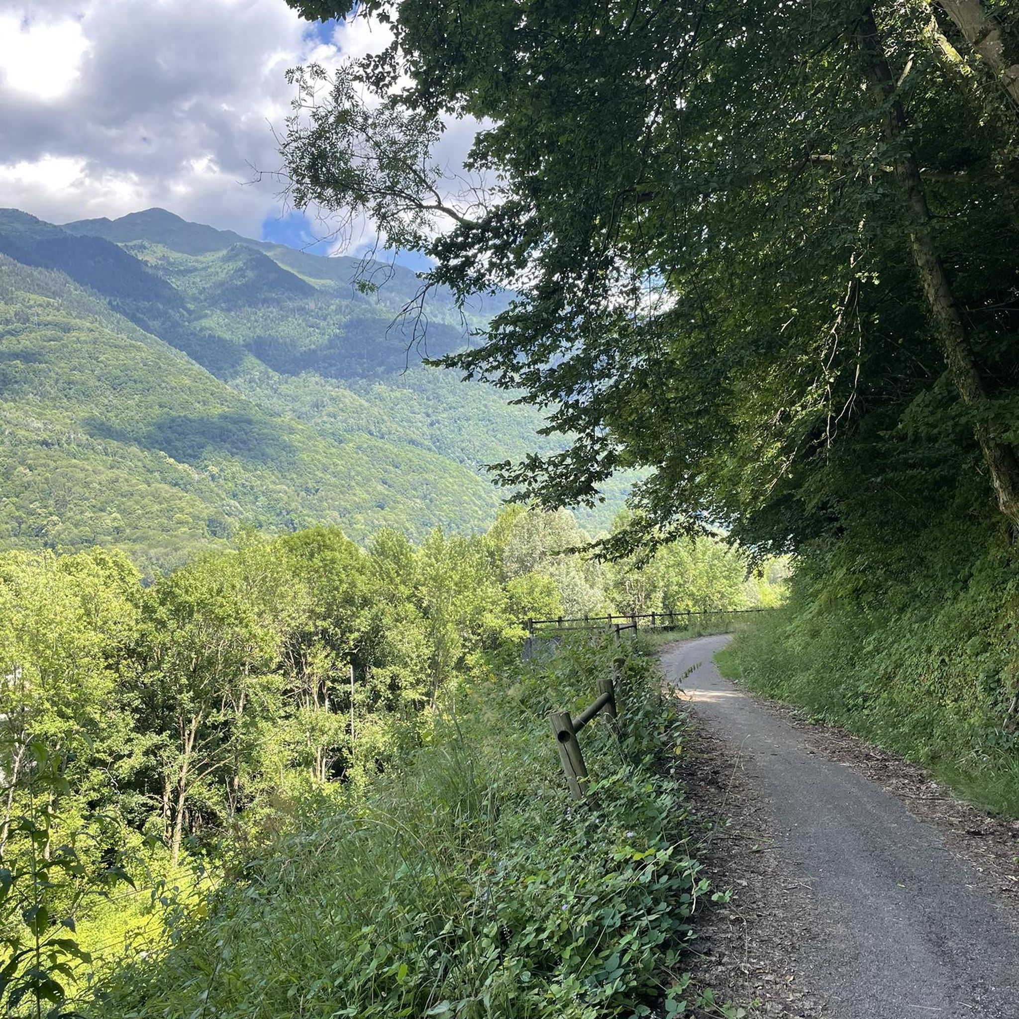
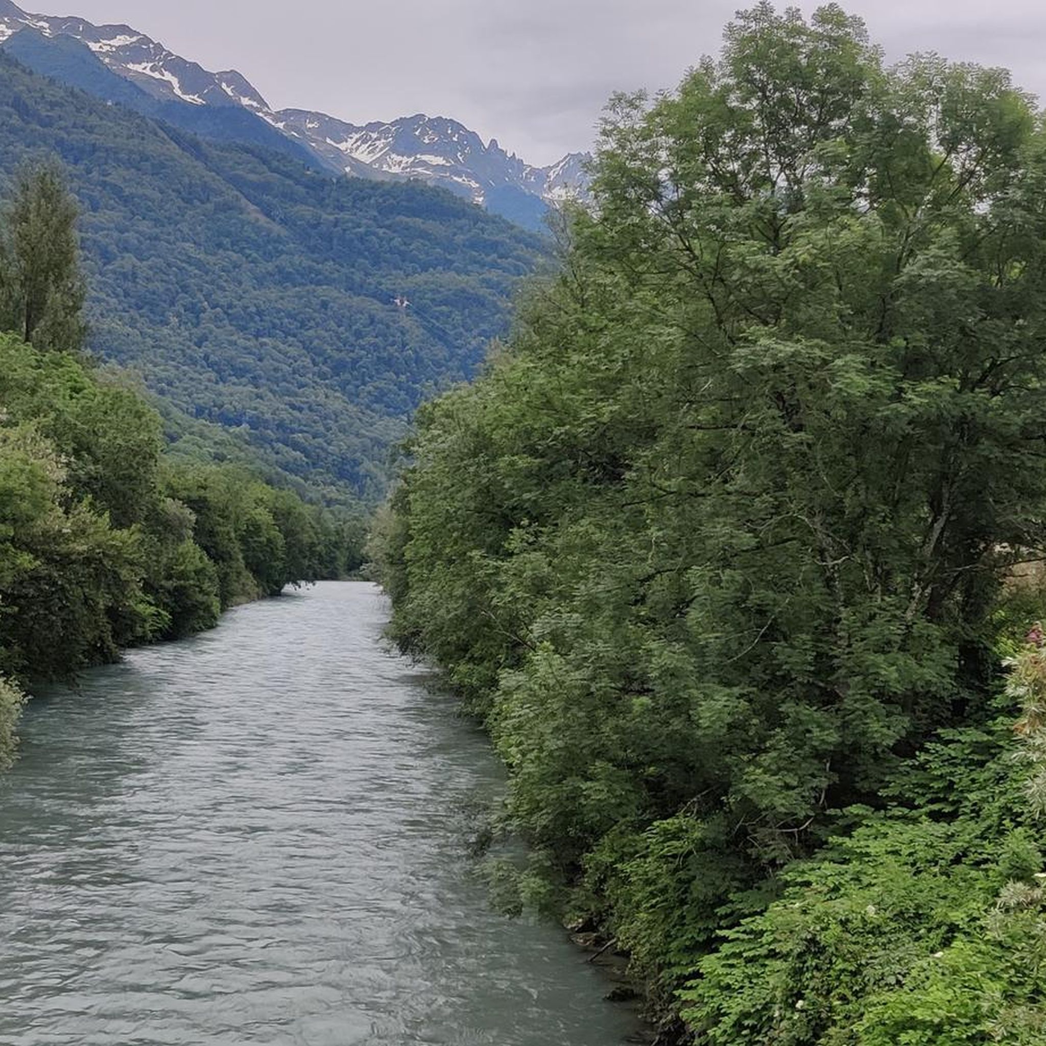
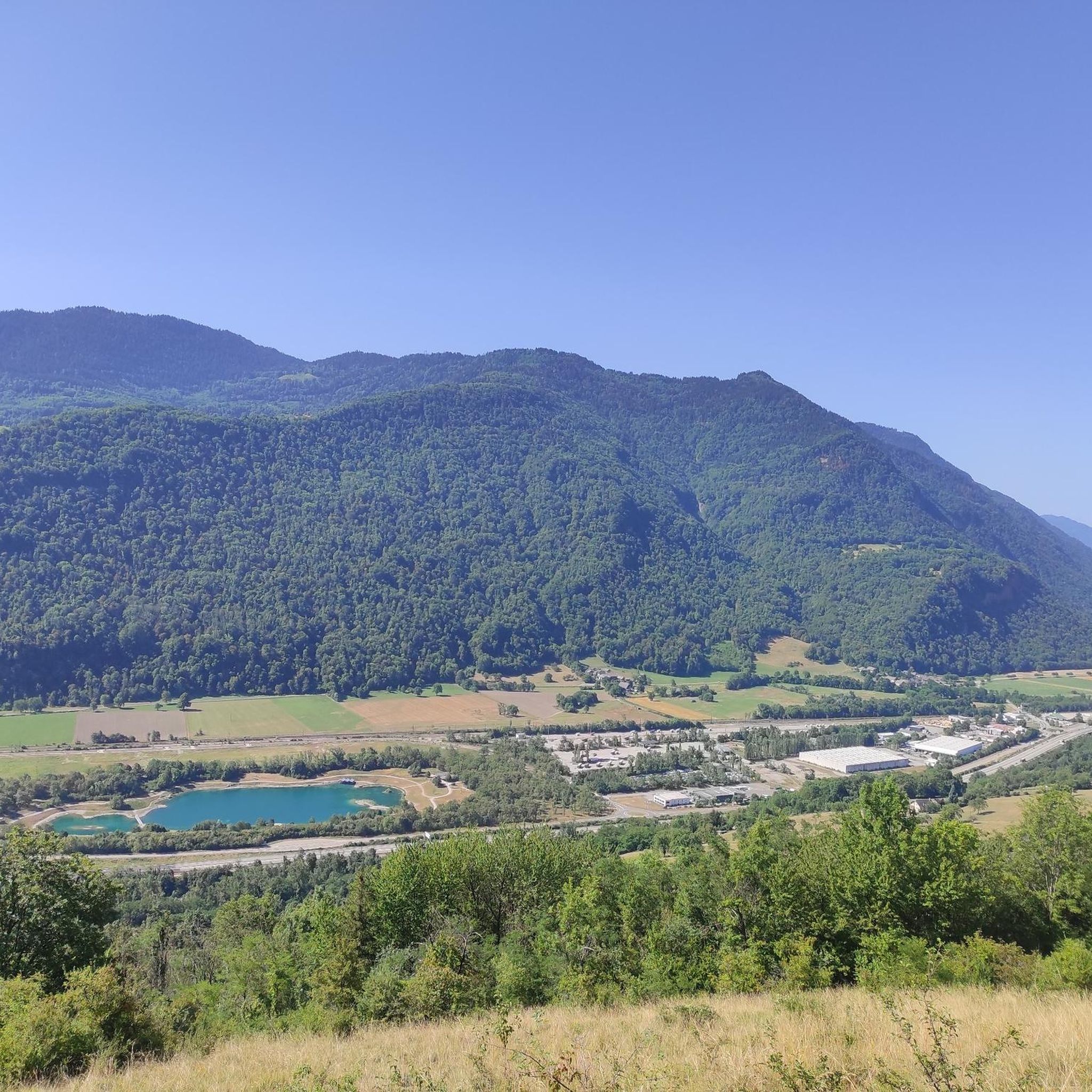

Tips from the Community

Ideally located along the Bella Via about fifteen kilometers from Albertville, cyclists can stop to refill their bottles and cool off. Other activities such as fishing or tennis are also practiced here. Surrounding massifs: Bauges to the north, Belledonne and Vanoise to the south
0
0

The place is clean and pleasant. There's room for everyone: fishermen, walkers, swimmers, cyclists...
0
0
The place is nice and clean. Ideal for fishing and plenty of room for swimming. A greenway runs alongside the pond...
0
0

A cycle path at the bottom of the Grésivaudan valley. You can drive from Albertville to Montmélian.
2
0
The pond of Grésy is a beautiful place to enjoy the sun. There is an area for fishing, an area for swimming and also a restaurant by the lake. The cycle path that runs along the valley passes through here.
2
0

Restaurant the fisherman's hut pleasant setting very good food, always the best in the world and to book before!! I recommend!
1
0

A small mountain lake with clear waters located near the Refuge de la Thuile.
0
0
The Grand Arc is located at 2,484 meters. From here there are splendid views of Mont Blanc, Vanoise and Bauges.
0
0
Frequently Asked Questions
How many running routes are available around Bonvillaret?
There are over 50 running routes around Bonvillaret, offering a wide range of experiences for all fitness levels. These include everything from easy loops to challenging mountain ascents.
What kind of terrain can I expect on the jogging trails in Bonvillaret?
The terrain around Bonvillaret is quite varied, situated on the western foothills of the Grand Arc massif. You'll find routes with varying elevations, from valley floors to higher slopes. Expect a mix of shaded forest paths, open, sunny vineyard routes, and more challenging mountainous sections, including paths leading to alpine pastures.
Are there any easy or beginner-friendly jogging routes in Bonvillaret?
Yes, Bonvillaret offers routes suitable for beginners. For a relatively flat experience, consider the Étang de Grésy loop from Grésy-sur-Isère, which is a moderate 6.3-mile path around a local pond. There are also other moderate options like the Bike path loop from Grésy-sur-Isère, which is shorter and has minimal elevation gain.
What are some challenging running routes for experienced runners in the area?
For experienced runners seeking a challenge, the Grand Arc and La Thuile Loop is a difficult 9.3-mile trail involving significant elevation gain through mountainous terrain. Paths also extend to the alpine pasture of La Platière, offering more adventurous options towards the Grand Arc summit.
Are there any circular jogging routes around Bonvillaret?
Yes, many of the running routes in Bonvillaret are circular. Examples include the popular Étang de Grésy loop from Grésy-sur-Isère and the Château Rochette loop from Aiton, which takes you through varied rural landscapes.
What kind of scenic views or landmarks can I expect along the running trails?
Bonvillaret's trails offer breathtaking panoramic views of the surrounding mountains and valleys, including the Combe de Savoie valley, and potentially the Aiguilles d'Arves, Chartreuse, and Lauziere massifs from higher points. You might also pass through picturesque hamlets like Les Combes, ancient vineyards, and enjoy views of natural features like Étang de Grésy.
Are there any historical sites or points of interest near the jogging routes?
Yes, the region has several points of interest. While jogging, you might encounter remnants of ancient vineyards or pass through authentic hamlets with chapels. For a notable historical site, Fort Montgilbert is located nearby and offers a glimpse into the area's past.
What do other runners enjoy most about jogging in Bonvillaret?
The running routes in Bonvillaret are highly rated by the komoot community, with an average score of 3.8 stars from over 10 reviews. Runners often praise the diverse terrain, from shaded forest paths to open vineyard routes, and the expansive views of the surrounding mountains and valleys.
Is Bonvillaret suitable for family-friendly running or walks?
Yes, Bonvillaret offers options for families. While some routes are challenging, there are easier, moderate paths like the Bike path loop from Grésy-sur-Isère that are relatively flat and shorter, making them more accessible for families looking for a gentle run or walk together.
What is the best time of year to go running in Bonvillaret?
Bonvillaret benefits from extensive sun exposure due to its location on the western foothills of the Grand Arc massif. Spring and autumn offer pleasant temperatures for running, with vibrant foliage or blooming landscapes. Summer is also suitable, especially on shaded forest paths, though higher elevations might be preferred for cooler air. Winter running is possible, but conditions can vary with snow at higher altitudes.
Are there options for parking near the running trails in Bonvillaret?
Yes, many trailheads and villages in the Bonvillaret area, such as Grésy-sur-Isère and Aiton, offer parking facilities. It's advisable to check specific route details for the most convenient parking spots near your chosen starting point.
Can I access running routes in Bonvillaret using public transport?
While Bonvillaret itself is a rural commune, surrounding towns and villages like Grésy-sur-Isère, which serves as a starting point for routes like the Étang de Grésy loop, may have public transport connections. It's recommended to check local bus or train schedules for access to these starting points.
Most popular routes around Bonvillaret
Most popular attractions around Bonvillaret

Get inspired with the komoot mobile app


Explore more
Browse the best Running Trails & Routes in other regions.
