The best mountain hikes around Rambaud
5.0
(2)
15
hikers
4
hikes
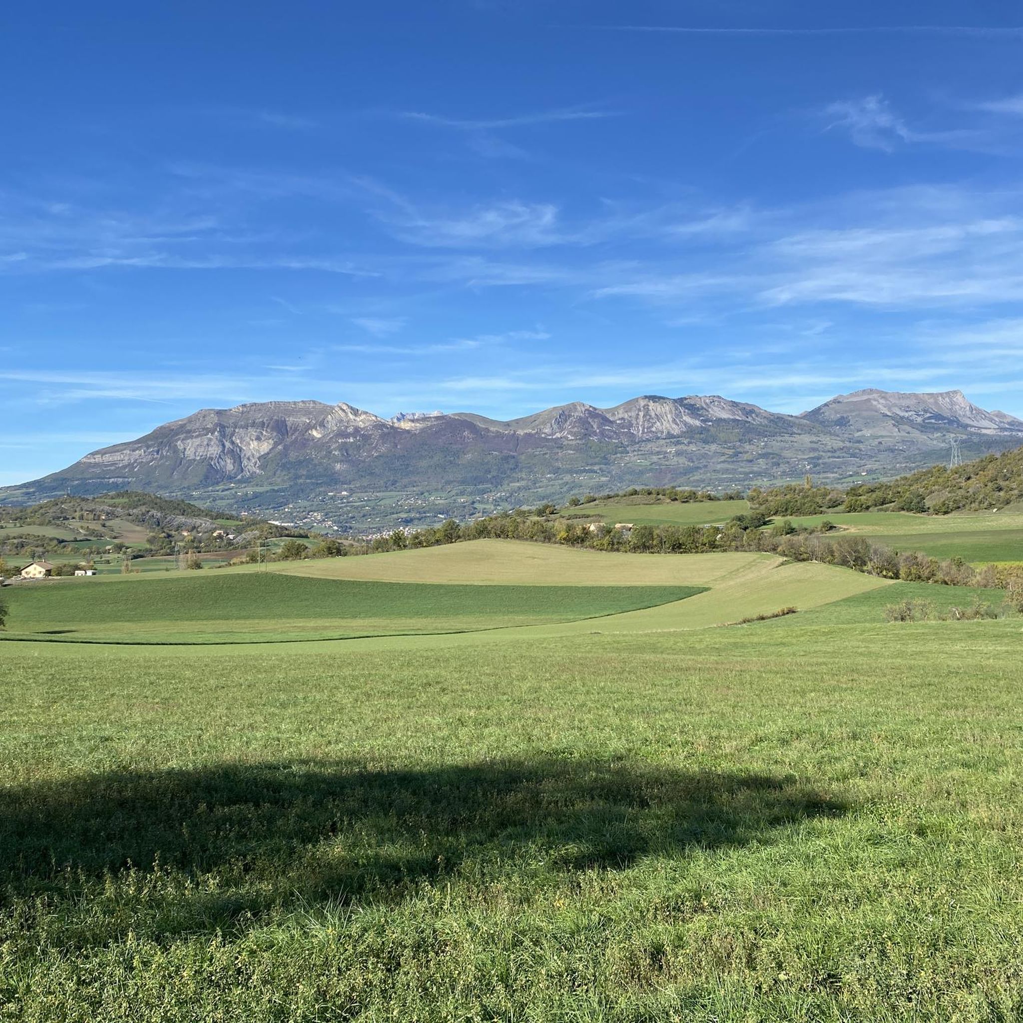
Mountaineering routes around Rambaud traverse the alpine foothills near Gap, characterized by significant elevation changes and panoramic views of the surrounding peaks. The terrain includes forested slopes, open mountain passes, and rocky ascents. This region offers a diverse landscape for mountaineers seeking both challenging climbs and scenic trails.
Best mountaineering routes around Rambaud
- The most popular mountaineering route is Pic de Charance – La Brèche de Charance loop from Gap, a 5.1 miles (8.3 km) trail that takes about…
Last updated: October 12, 2026
5.0
(1)
8
hikers
9.08km
03:54
800m
800m
Moderate mountaineering route. Good fitness required. Easily-accessible paths. Suitable for all skill levels.
2
hikers
9.20km
03:24
570m
570m
Hard mountaineering route. Good fitness required. Sure-footedness, sturdy shoes and alpine experience required.

5.0
(1)
2
hikers
6.65km
01:50
110m
110m
Easy mountaineering route. Great for any fitness level. Easily-accessible paths. Suitable for all skill levels.
Our route recommendations are based on thousands of hikes, rides, and runs completed by other people on komoot.
Start today with a free account
Your next adventure awaits.
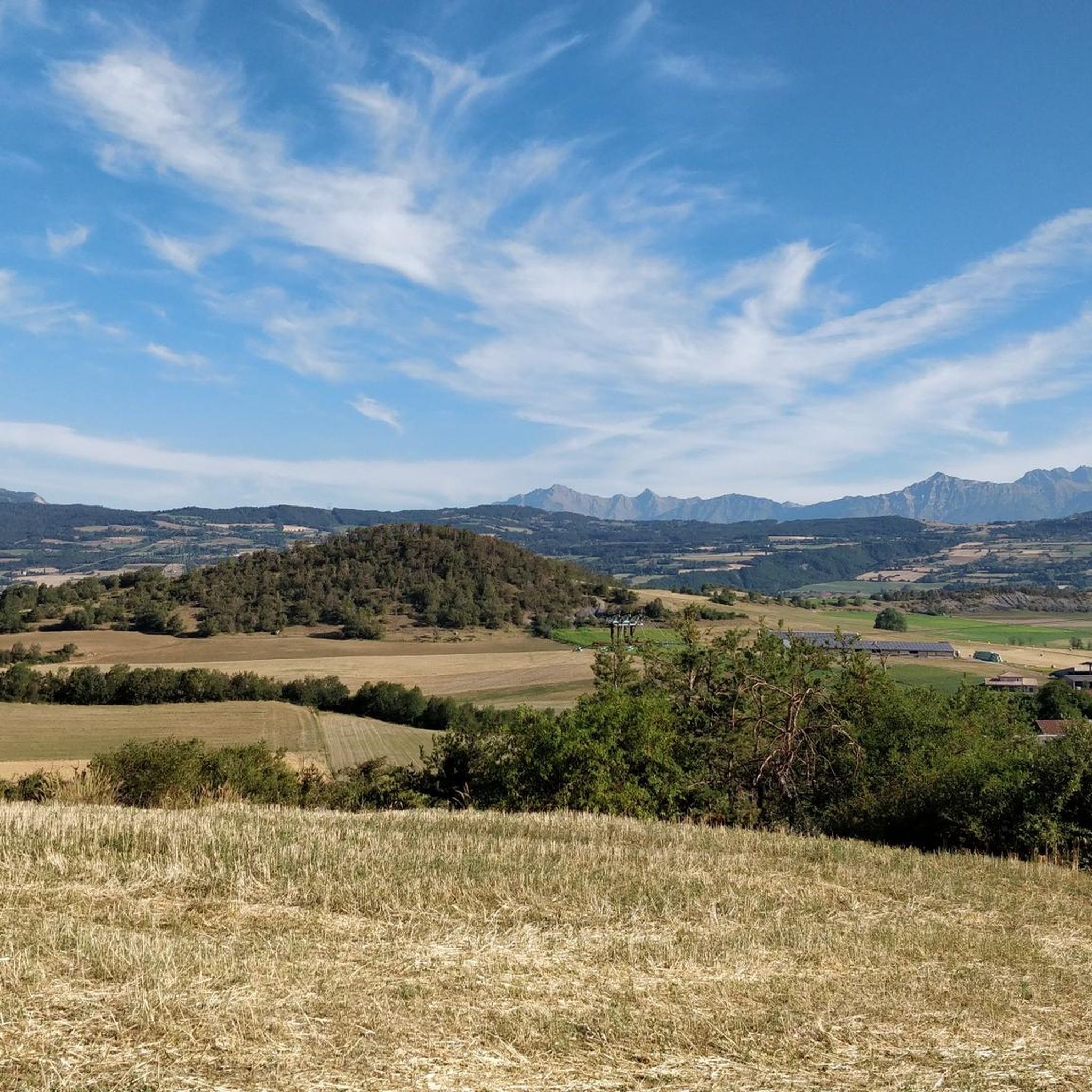
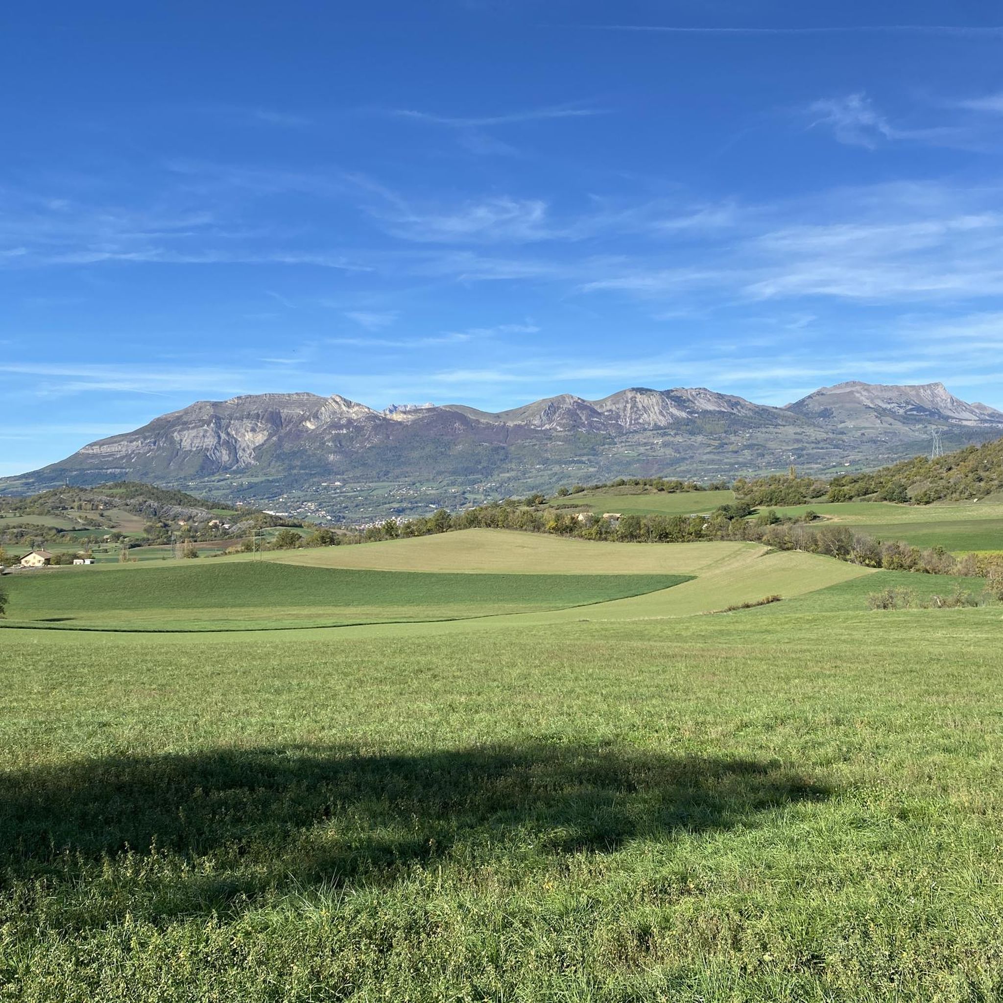
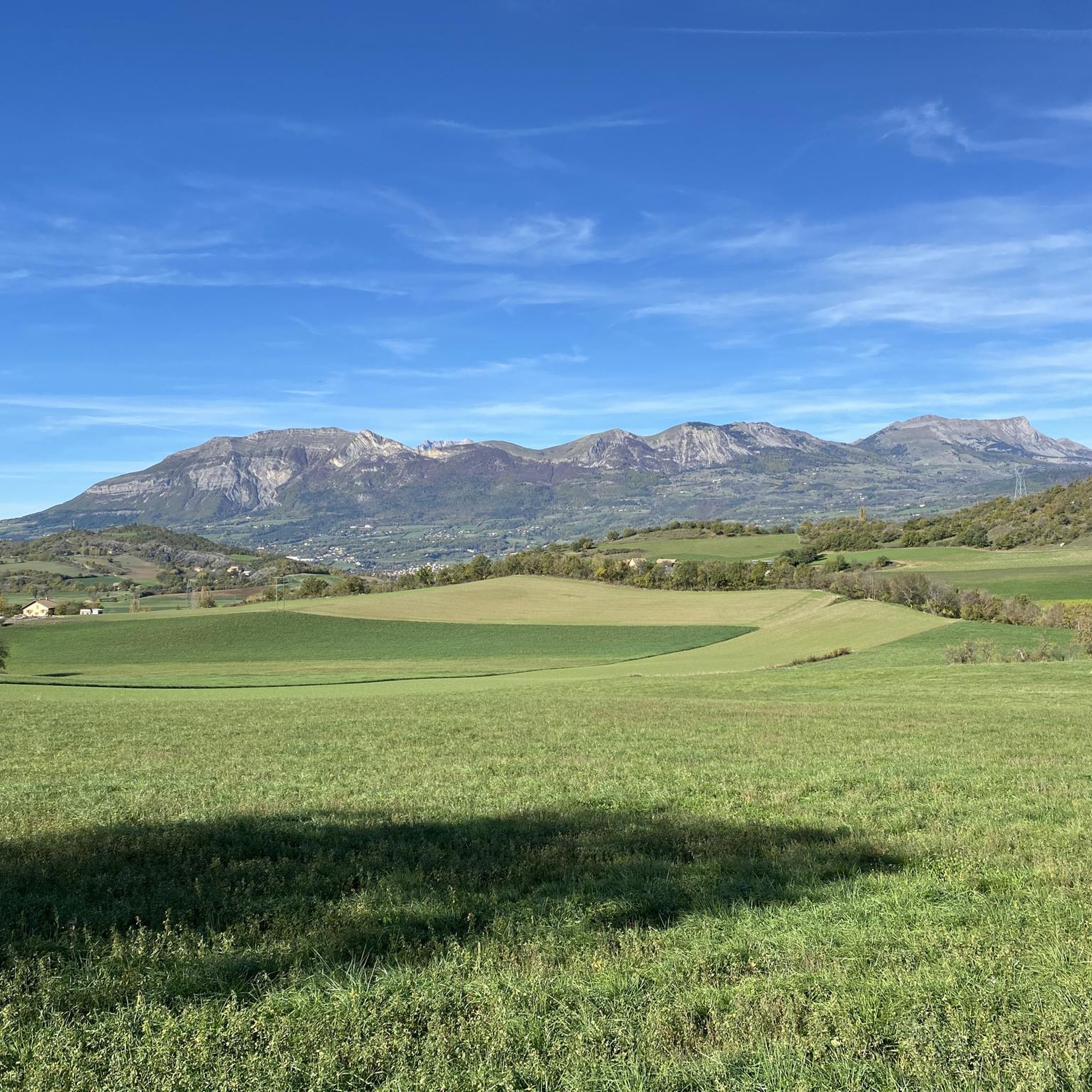
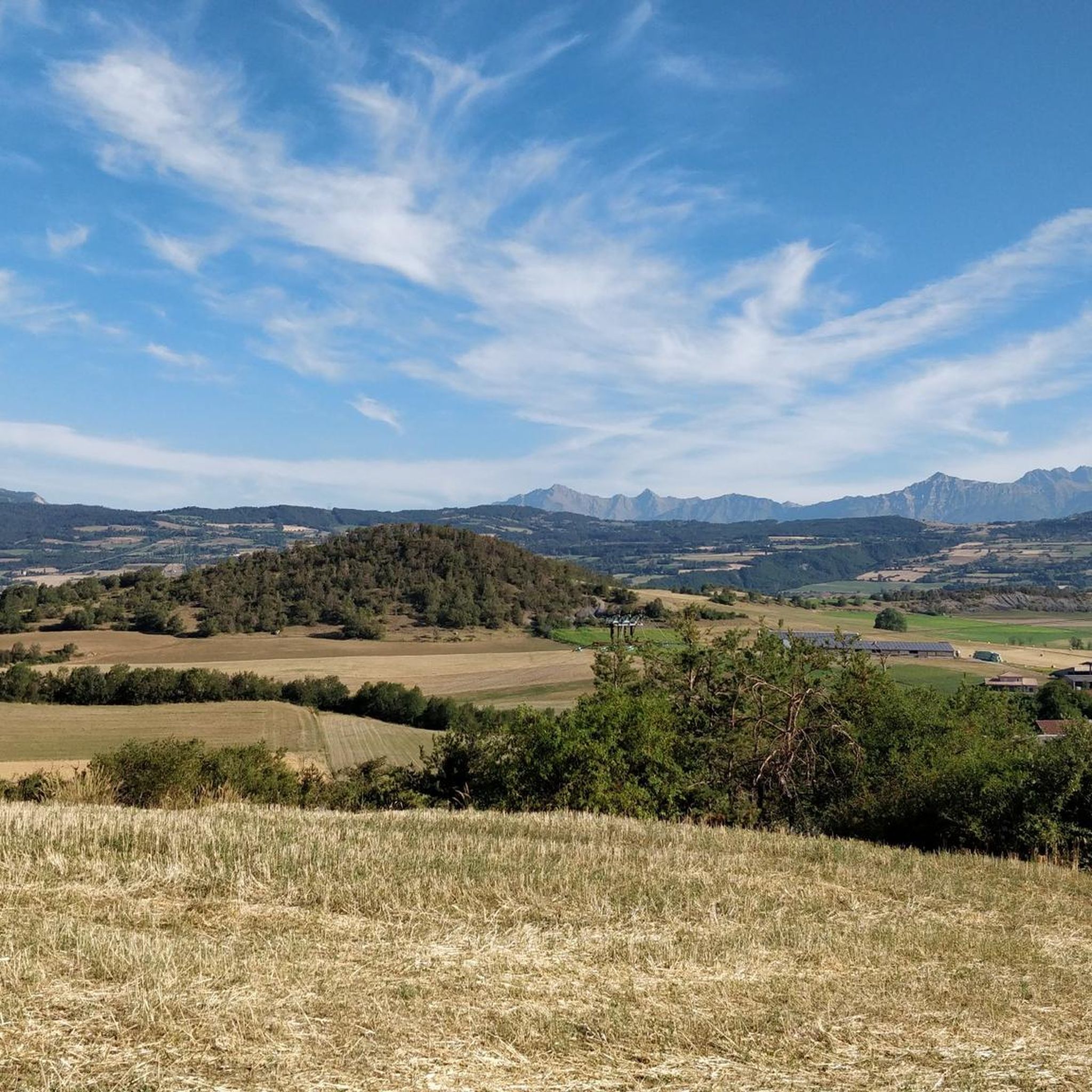

Tips from the Community

Wonderful spot overlooking col bayard
0
0

El Col de Gleize from Col Bayard is a mountain pass located in the Hautes-Alpes region. It has a length of 4.8 km and a total positive elevation gain of 448 m. The average gradient of Col de Gleize from Col Bayard is 10%.
0
0

It is one of the highest bocages in Europe. These landscapes are typical in France, but this one is one of the best preserved. It has a superb network of beech hedges, crops, meadows and woods which attracts beautiful biodiversity and many birds.
0
0
The Col de Gleize car park is located next to a designated picnic area. It is the starting point for many hiking trails that intersect here.
0
0

For a great picnic with a 360° view of breathtaking landscapes: meet at Pic Chaudun 🌟
0
0

It is accessible by car via a pretty narrow road and has parking as it is the starting point for many trails.
1
0

The Pic de Charance is 1,825 meters above sea level. From the summit, marked with a cross, there are exceptional views of the town of Gap, the Durance valley and the peak of Bure.
1
0
At 2,161 meters above sea level, the Gleize peak is located in the Dévoluy massif on a ridge which extends from the Charance mountain to the Faraut mountain. From here we have magnificent views of the Bois du Chapter biological reserve and the high peaks of Dévoluy.
0
1
Frequently Asked Questions
What is the overall difficulty level of mountaineering routes around Rambaud?
The mountaineering routes around Rambaud offer a range of difficulties. While there are no easy routes specifically for mountaineering, you'll find 4 moderate and 2 difficult routes. For a less strenuous option, consider the Tallard Castle loop from Tallard, which is classified as easy and provides a gentle introduction to the area's terrain.
Are there any challenging mountaineering routes for experienced climbers near Rambaud?
Yes, for those seeking a challenge, the Summit without a cross loop from Col de Gleize is classified as difficult. This 3.3-mile (5.3 km) trail involves a significant ascent through a mountain pass, typically taking over 2 hours to complete.
Can I find circular mountaineering routes in the Rambaud area?
Many of the mountaineering routes around Rambaud are designed as loops, allowing you to start and finish at the same point. An excellent example is the Pic de Charance – La Brèche de Charance loop from Gap, a 5.1-mile (8.3 km) trail that offers a moderate ascent and panoramic views.
What kind of terrain can I expect on mountaineering routes near Rambaud?
Mountaineering routes around Rambaud traverse diverse terrain, including forested slopes, open mountain passes, and rocky ascents. The region is characterized by significant elevation changes, offering a true alpine foothills experience.
Are there any mountaineering routes suitable for families with children?
For families, especially those with younger children or looking for a less demanding experience, the Tallard Castle loop from Tallard is an easy option. It's a 6.7 km route with minimal elevation gain, making it more accessible. For older, more experienced children, some of the moderate routes might also be suitable.
What are some interesting landmarks or attractions to see near the mountaineering routes?
The Rambaud area is rich in natural beauty and historical sites. You can explore the town of Gap, visit the historic Tallard Castle, or enjoy stunning vistas from viewpoints like Le Ruban. Several mountain passes, such as Col de Moissière (1573 m) and Col de Gleize (1691 m), also offer impressive scenery.
What do other mountaineers enjoy most about the routes in Rambaud?
The komoot community highly rates the mountaineering routes in Rambaud, with an average score of 5.0 stars from 10 reviews. Mountaineers often praise the accessible peaks, challenging mountain passes, and varied forested valleys that define the region's diverse terrain.
What is a good moderate mountaineering route to try in Rambaud?
A popular moderate option is the Écluse d'Oeuf – Pic de Charance loop from Gap. This 7.6-mile (12.3 km) path offers sustained climbing through varied mountain scenery and is a favorite among local mountaineers.
Are there any less crowded mountaineering trails around Rambaud?
While specific crowd levels can vary, routes like the Écluse d'Oeuf – Le Cuchon loop from La Freissinouse might offer a more tranquil experience compared to the most popular trails. This moderate 11 km route provides a beautiful journey through the alpine foothills.
What is the best season for mountaineering in Rambaud?
The best season for mountaineering in Rambaud is typically from late spring to early autumn (May to October) when the weather is generally stable, and trails are clear of snow. Always check local weather forecasts and trail conditions before heading out, especially in shoulder seasons.
What should I wear for mountaineering in Rambaud during summer?
Even in summer, mountain weather can be unpredictable. It's advisable to wear layers, including moisture-wicking base layers, a mid-layer for warmth, and a waterproof/windproof outer shell. Sturdy hiking boots, sun protection (hat, sunglasses, sunscreen), and plenty of water are also essential.
How many mountaineering routes are available in the Rambaud area?
There are currently 6 mountaineering routes detailed in this guide for the Rambaud area, offering a variety of distances and difficulty levels to explore the alpine foothills.
Most popular routes around Rambaud
Most popular attractions around Rambaud

Get inspired with the komoot mobile app


Explore more
Browse the best Mountain Hikes & Routes in other regions.
