The best mountain hikes around La Roche-Des-Arnauds
5.0
(2)
25
hikers
7
hikes
Mountaineering routes around La Roche-Des-Arnauds are situated in the Hautes-Alpes department of southeastern France, within the Southern Alps. The region features a diverse Alpine environment with altitudes ranging from 885 meters to over 2700 meters. Key geological features include visible marls at Espréaux Pass and the prominent Pic de Bure, contributing to the majestic mountainous backdrop. This area offers varied terrain suitable for high-mountain activities.
Best mountaineering routes around La Roche-Des-Arnauds
- The most popular mountaineering route is Pic de Charance…
Last updated: October 11, 2026
6
hikers
8.40km
03:03
460m
460m
Moderate mountaineering route. Good fitness required. Mostly accessible paths. Sure-footedness required.
5.0
(1)
8
hikers
9.08km
03:54
800m
800m
Moderate mountaineering route. Good fitness required. Easily-accessible paths. Suitable for all skill levels.

5
hikers
7.58km
03:55
590m
590m
Hard mountaineering route. Good fitness required. Sure-footedness, sturdy shoes and alpine experience required.
2
hikers
9.20km
03:24
570m
570m
Hard mountaineering route. Good fitness required. Sure-footedness, sturdy shoes and alpine experience required.
5.0
(1)
2
hikers
11.5km
04:12
690m
690m
Moderate mountaineering route. Good fitness required. Easily-accessible paths. Suitable for all skill levels.
Get access to more routes and recommendations from other explorers.
Already have an account?
Our route recommendations are based on thousands of hikes, rides, and runs completed by other people on komoot.
Start today with a free account
Your next adventure awaits.
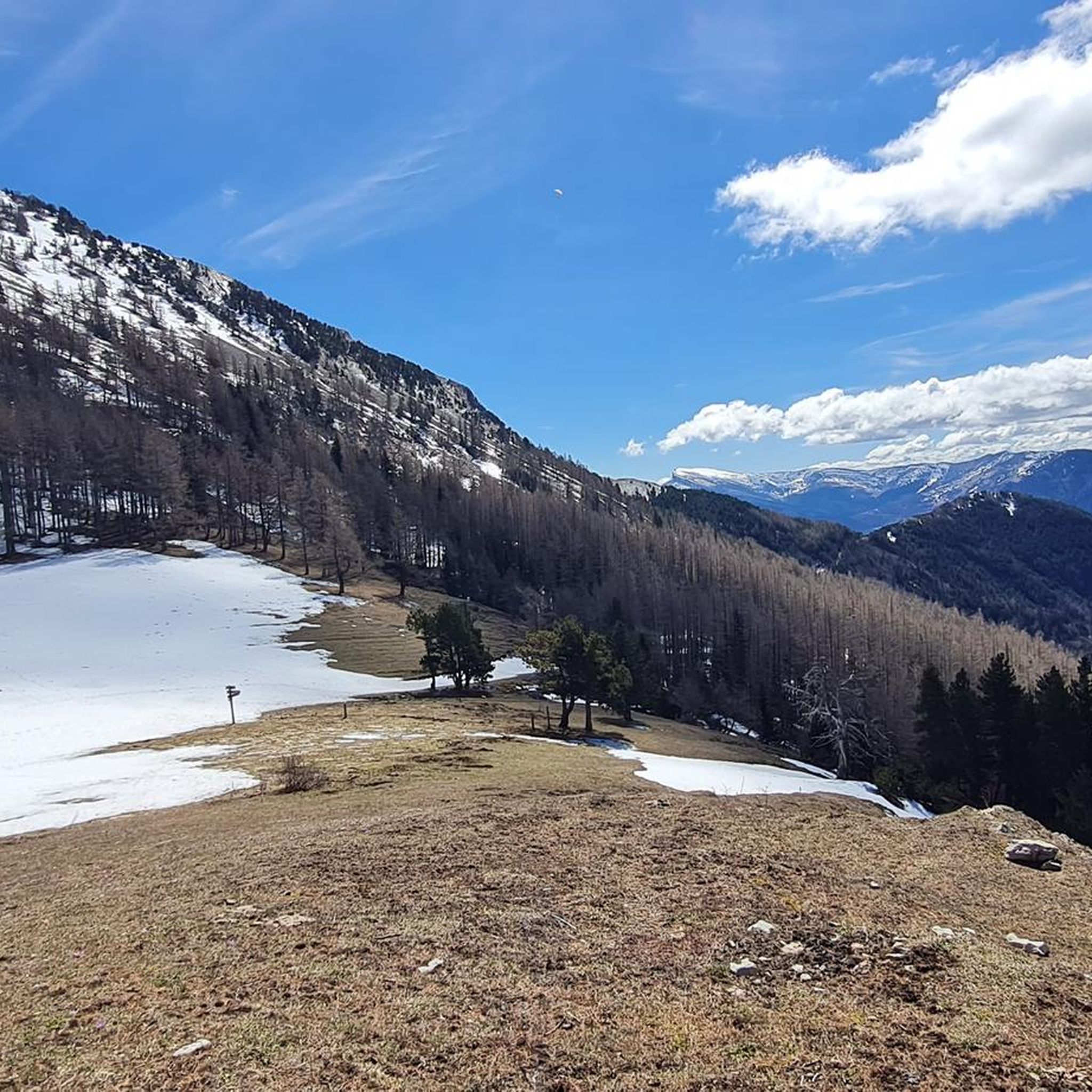
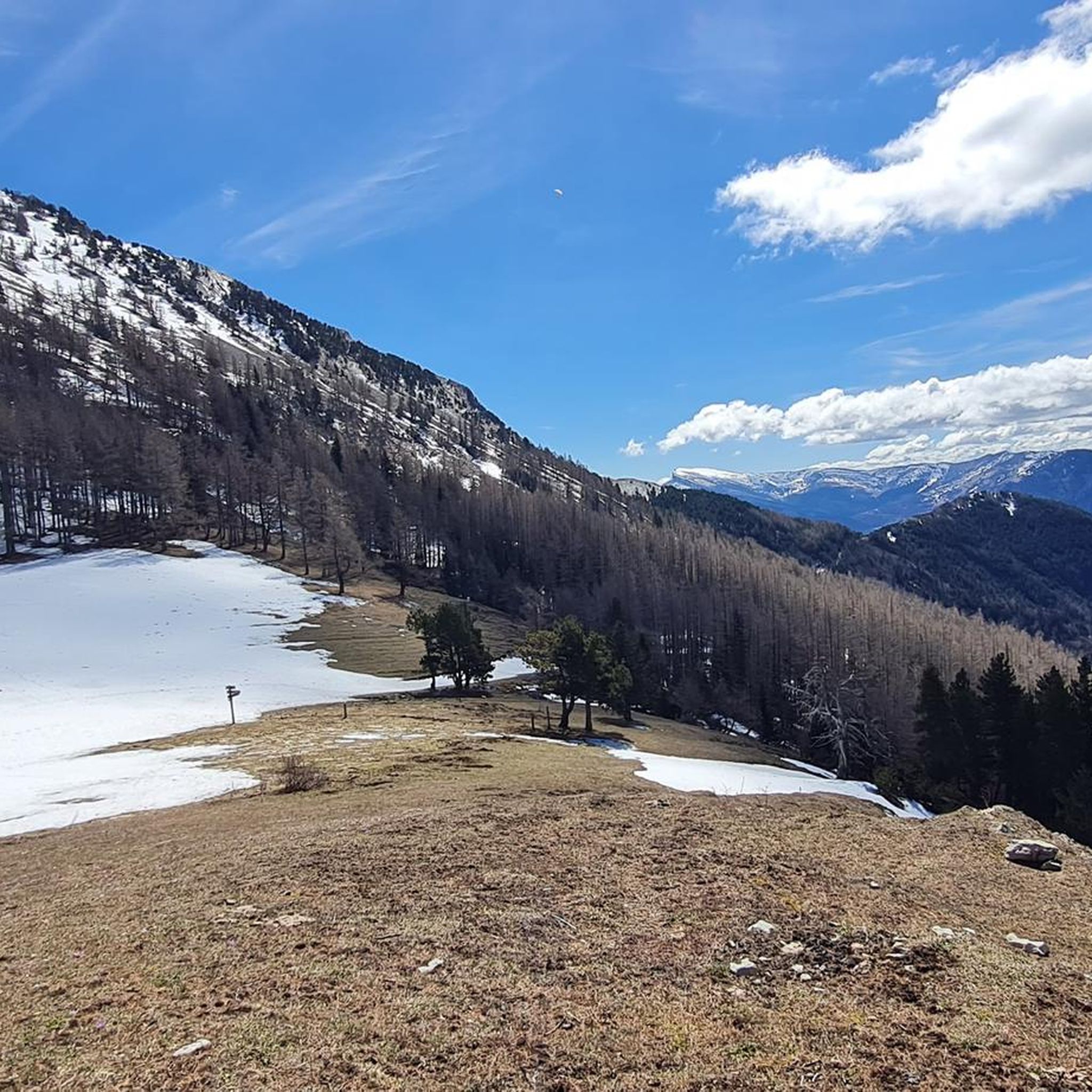
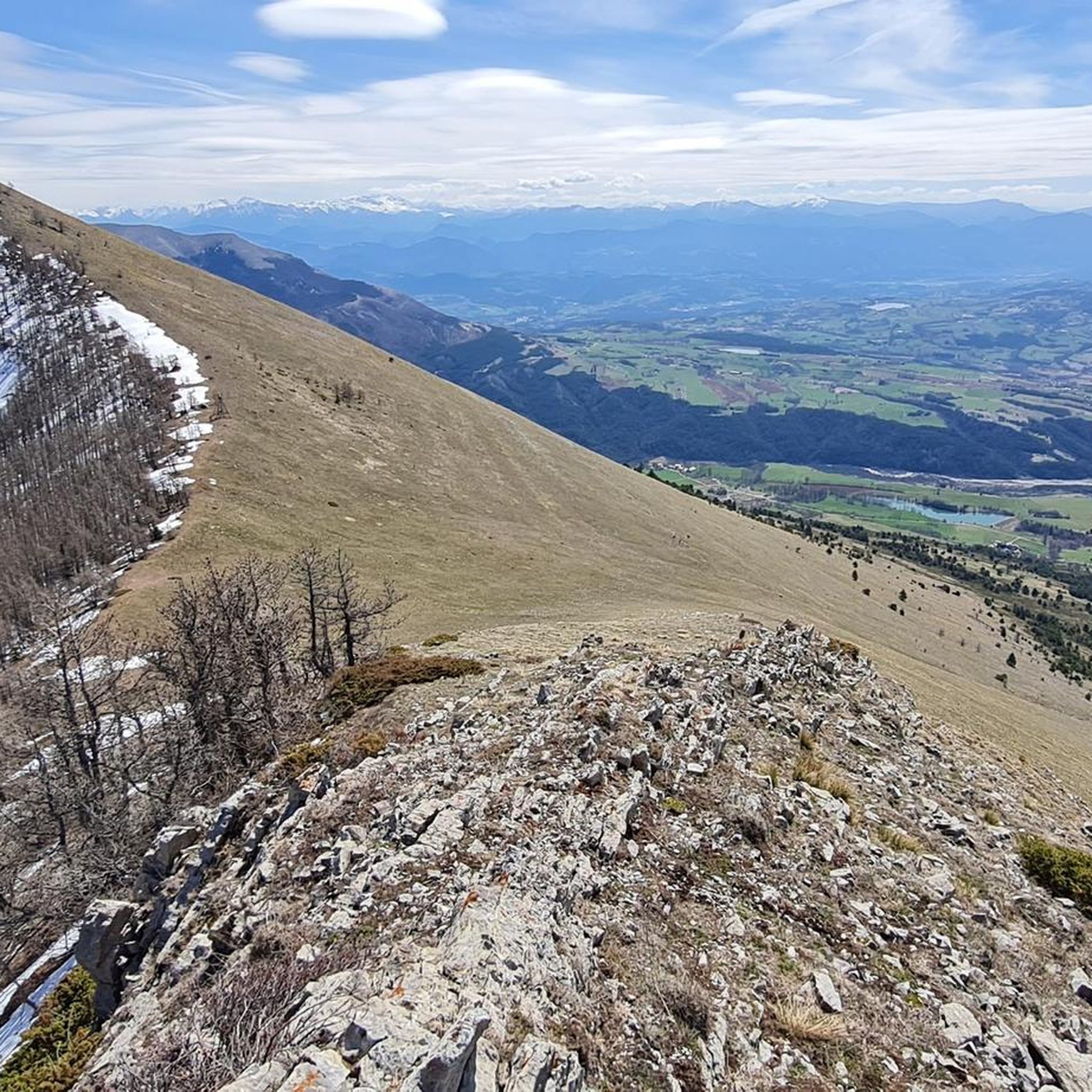
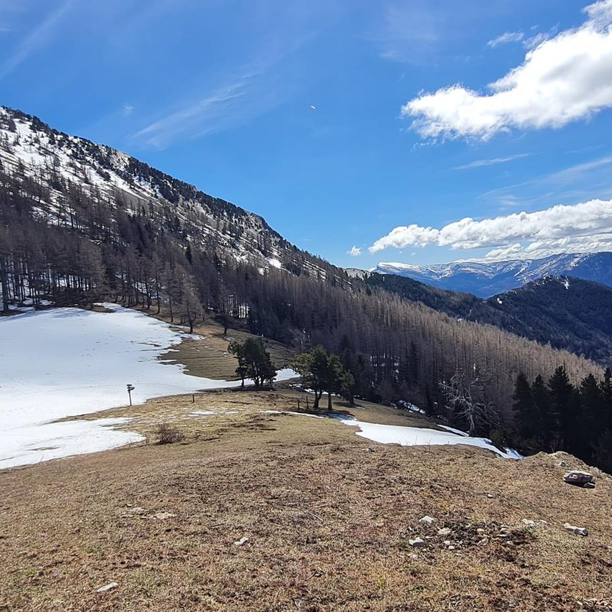
Tips from the Community

Wonderful spot overlooking col bayard
0
0

El Col de Gleize from Col Bayard is a mountain pass located in the Hautes-Alpes region. It has a length of 4.8 km and a total positive elevation gain of 448 m. The average gradient of Col de Gleize from Col Bayard is 10%.
0
0


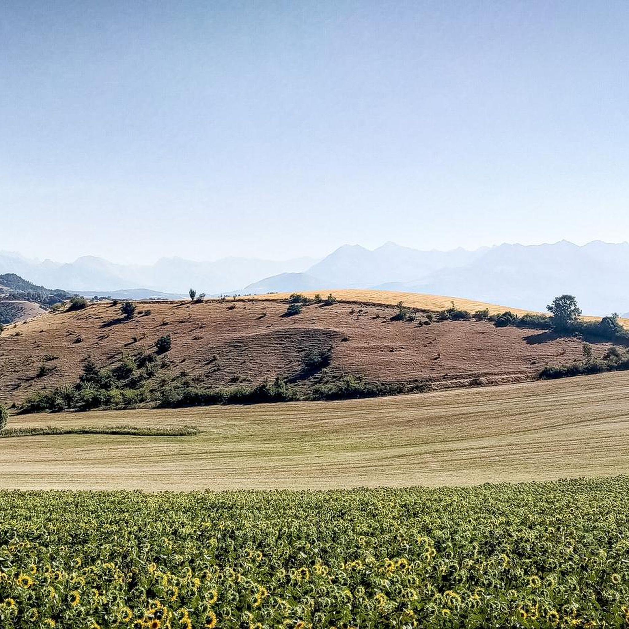
It is one of the highest bocages in Europe. These landscapes are typical in France, but this one is one of the best preserved. It has a superb network of beech hedges, crops, meadows and woods which attracts beautiful biodiversity and many birds.
0
0
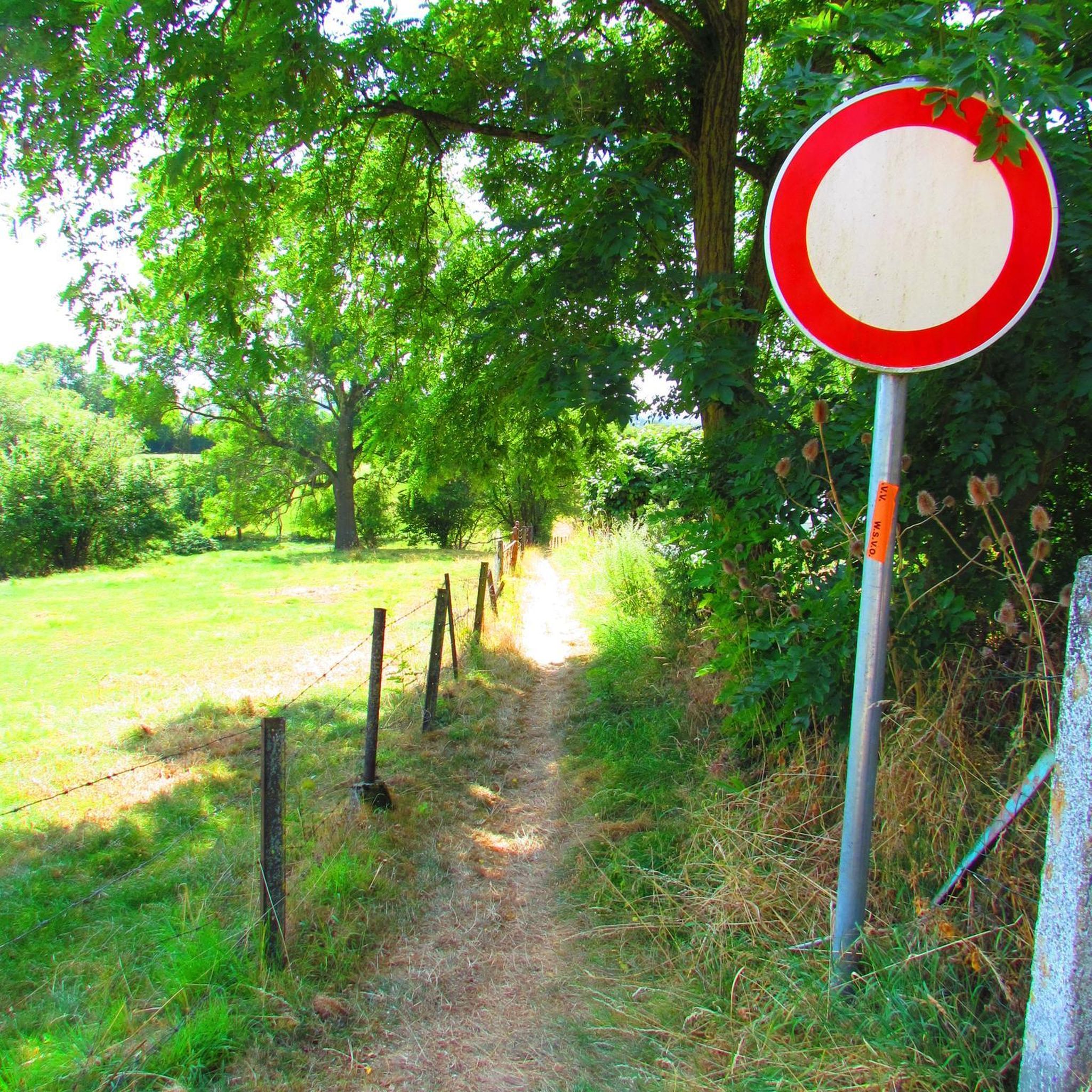
The Col de Gleize car park is located next to a designated picnic area. It is the starting point for many hiking trails that intersect here.
0
0

For a great picnic with a 360° view of breathtaking landscapes: meet at Pic Chaudun 🌟
0
0

It is accessible by car via a pretty narrow road and has parking as it is the starting point for many trails.
1
0

From here we have a superb view of the Bure plateau, a plateau at an altitude of 2,552 m in the Dévoluy massif - site of the NOEMA Interferometer observatory.
0
0
Frequently Asked Questions
How many mountaineering routes are available around La Roche-Des-Arnauds?
There are around 10 mountaineering routes documented on komoot for the La Roche-Des-Arnauds area, offering a range of experiences in the Southern Alps.
What types of difficulty levels can I expect on the mountaineering routes?
The routes around La Roche-Des-Arnauds primarily feature moderate and difficult classifications. You'll find 7 moderate routes and 3 difficult routes, catering to various skill levels for high-mountain activities.
Are there any circular mountaineering routes in the region?
Yes, many routes are designed as loops. For example, you can explore the Pic de Charance – La Brèche de Charance loop from Gap, a moderate 8.3 km trail, or the more challenging Summit without a cross loop from Col de Gleize.
What natural features or landmarks can I see while mountaineering?
The region is rich in natural beauty and geological phenomena. You can encounter the distinctive marl formations at Espréaux Pass, or enjoy magnificent views along the Chemin de rondes and its cliffs. The prominent Pic de Bure also contributes to the majestic mountainous backdrop.
What is the best time of year for mountaineering in La Roche-Des-Arnauds?
The Southern Alps, where La Roche-Des-Arnauds is located, are known for their bright and grandiose landscapes. While specific recommendations depend on the route's altitude and conditions, generally late spring to early autumn offers the most favorable weather for high-mountain activities, avoiding heavy snow and extreme cold.
Are there any family-friendly mountaineering options?
While many routes are moderate to difficult, the region is popular for outdoor activities including Via Ferrata, which is often appealing to families. For mountaineering, it's best to assess individual route descriptions carefully for elevation gain and terrain to determine suitability for younger or less experienced family members. The Pic de Céüse loop from Céüze is a moderate option to consider.
Where can I find parking for mountaineering trails?
Specific parking information varies by trailhead. However, many routes, such as the Pic de Charance – La Brèche de Charance loop, often start from towns like Gap, which typically offer parking facilities. For routes originating from smaller cols or villages, roadside parking or designated small lots are common.
What do other mountaineers say about the routes in La Roche-Des-Arnauds?
The mountaineering routes in La Roche-Des-Arnauds are highly rated by the komoot community, with an average score of 5.0 stars from 10 reviews. Over 50 mountaineers have explored the varied terrain, often praising the stunning Alpine environments and diverse geological formations.
Are there any challenging routes for experienced mountaineers?
Yes, the area offers several challenging routes. The Summit without a cross loop from Col de Gleize is classified as difficult, as is the Grotte des Beaumettes loop from SuperDévoluy, providing significant elevation gain and rugged terrain for experienced individuals.
Can I reach the trailheads using public transport?
Access to trailheads in mountainous regions like La Roche-Des-Arnauds can be challenging with public transport alone. While larger towns like Gap may have bus services, reaching specific starting points for mountaineering routes often requires a car. It's advisable to check local transport schedules for the specific trailhead you plan to visit.
Are there any notable mountain passes to explore?
Absolutely. The region is home to several significant mountain passes. Beyond the geological wonders of Espréaux Pass, you can also explore Col du Noyer (1664 m), Col du Festre, and Col de Gleize (1691 m), all offering unique perspectives of the Alpine landscape.
What is the typical elevation range for mountaineering in this area?
Mountaineering routes around La Roche-Des-Arnauds span a significant elevation range, from approximately 885 meters to over 2700 meters. This diverse Alpine environment ensures varied terrain and panoramic views.
Most popular routes around La Roche-Des-Arnauds
Most popular attractions around La Roche-Des-Arnauds

Get inspired with the komoot mobile app


Explore more
Browse the best Mountain Hikes & Routes in other regions.
