The best mountain hikes around Oz
4.3
(3)
15
hikers
3
hikes
Mountaineering routes around Oz offer a range of challenging ascents and descents through varied alpine landscapes. The region is characterized by significant elevation changes, providing opportunities for demanding climbs and panoramic views. These routes navigate through mountainous terrain, often featuring steep gradients and rugged paths. The area provides a robust environment for experienced mountaineers seeking substantial physical challenges.
Best mountaineering routes around Oz
- The most popular mountaineering route is La Jasse Sheepfold loop from Ornon, a 8.8 miles (14.1…
Last updated: June 22, 2026
5.0
(1)
6
hikers
16.7km
04:54
440m
440m
Moderate mountaineering route. Good fitness required. Mostly accessible paths. Sure-footedness required.
5.0
(1)
5
hikers
8.57km
03:33
710m
710m
Moderate mountaineering route. Good fitness required. Easily-accessible paths. Suitable for all skill levels.

Sign up for free
3.0
(1)
4
hikers
6.32km
02:33
470m
470m
Moderate mountaineering route. Good fitness required. Easily-accessible paths. Suitable for all skill levels.
Our route recommendations are based on thousands of hikes, rides, and runs completed by other people on komoot.
Start today with a free account
Your next adventure awaits.
Login or Signup
Popular around Oz
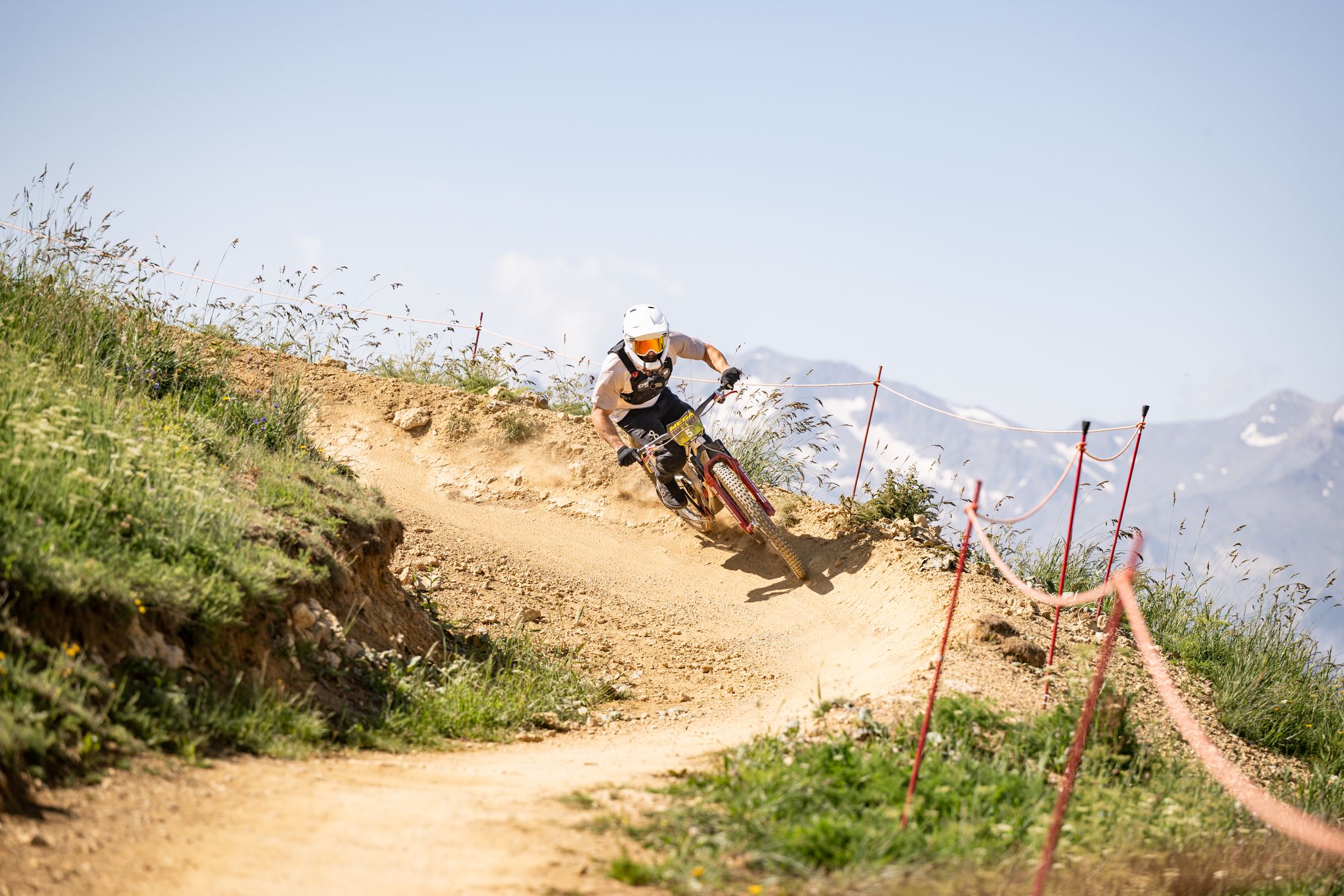
Unmissable MTB loops in the Alpe d'Huez region
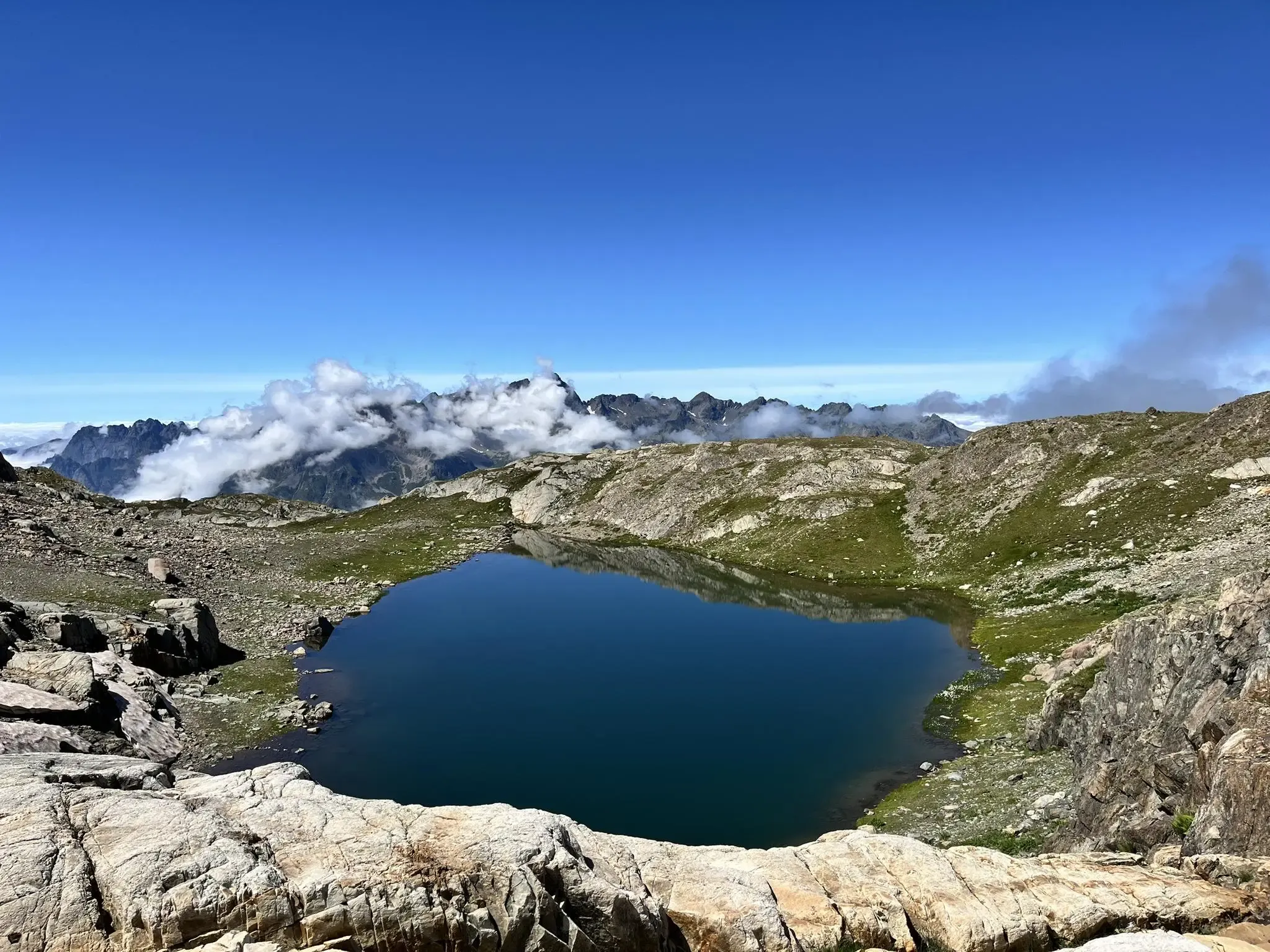
Discover Oz 3300 — a panoramic version of the mountain
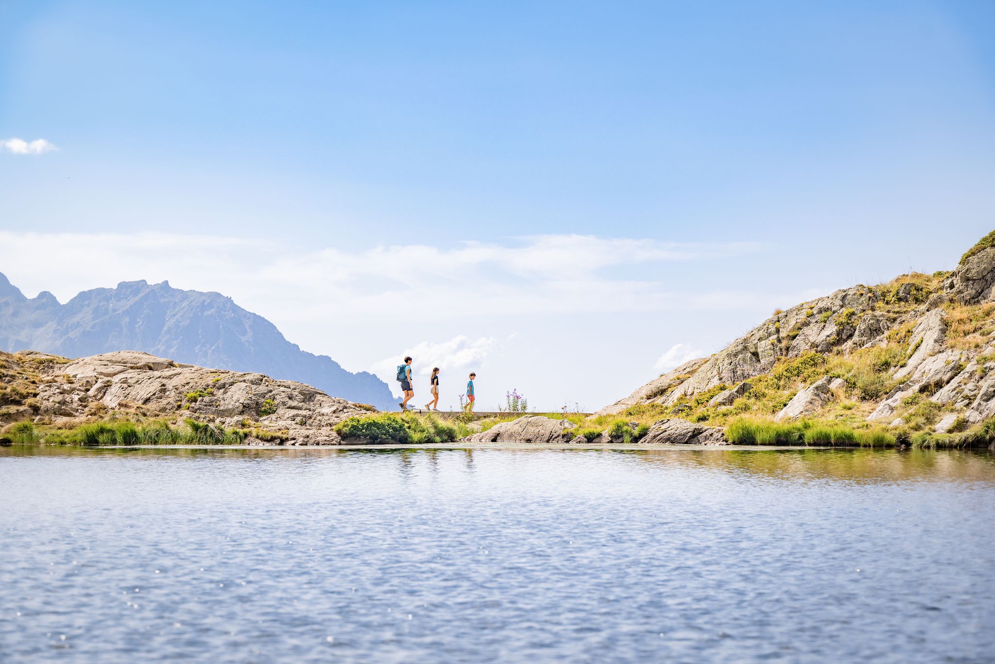
Alpe d'Huez – hiking in the great outdoors
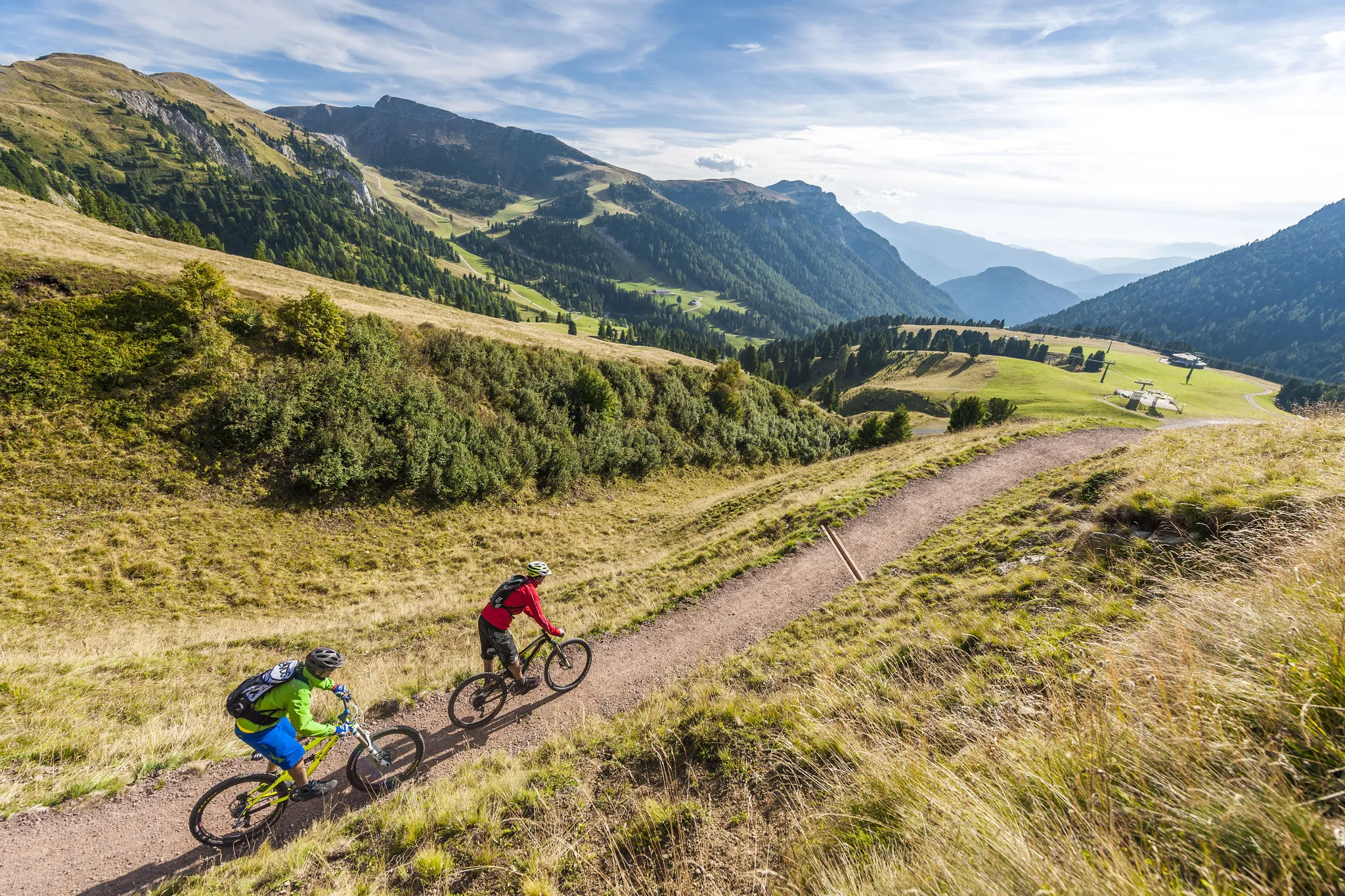
Supertrails — the long way down
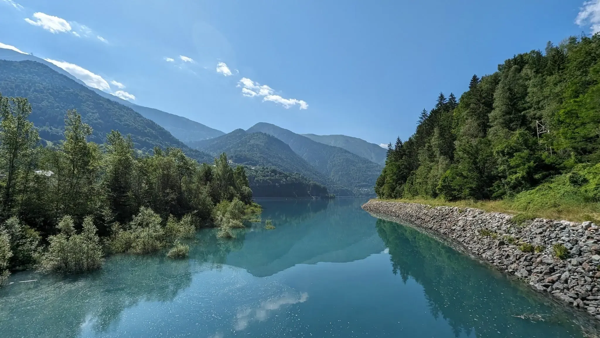
Marcher au fil des hameaux d'Oz-en-Oisans
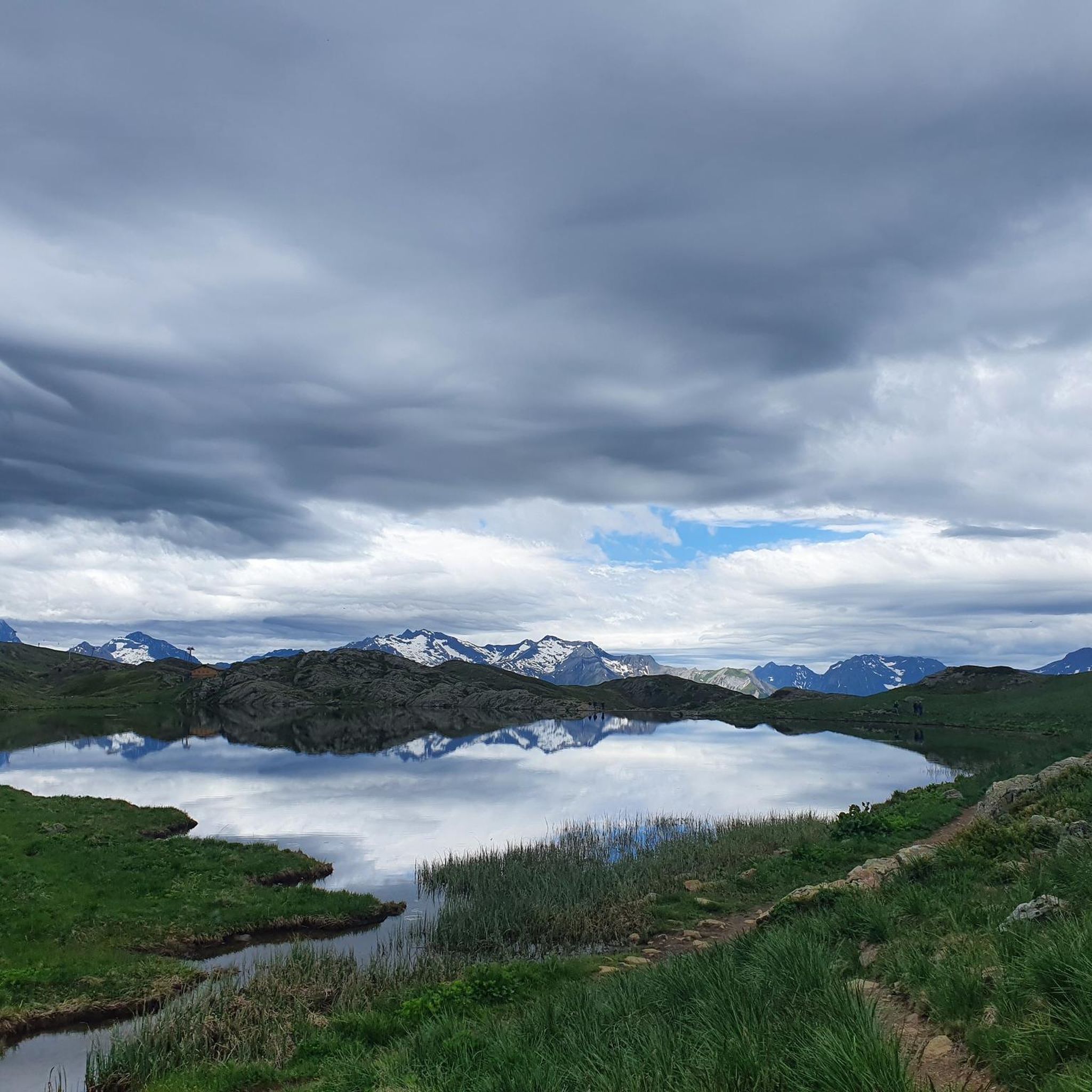
Hiking around Oz
Cycling around Oz
MTB Trails around Oz
Road Cycling Routes around Oz
Running Trails around Oz
Other adventures around Oz


Tips from the Community

The piste roundabout is a key point of the Alpe d’Huez resort. It is located at the start of several ski lifts.
0
0

The most beautiful hill to climb in these areas.
12
0

There are no crowds here, just you, the mountain, the wind, and the sensation of pedaling on one of the remote peaks of the French Alps. The summit, at almost 2,000 meters, offers a 360° panorama that erases fatigue and ignites the cycling spirit.
4
0

A busy hiking trail in summer. All those lakes and vistas are beautiful.
0
0
A busy hiking trail in summer. All those lakes and vistas are beautiful.
0
0
A busy hiking trail in summer. All those lakes and vistas are beautiful.
0
0

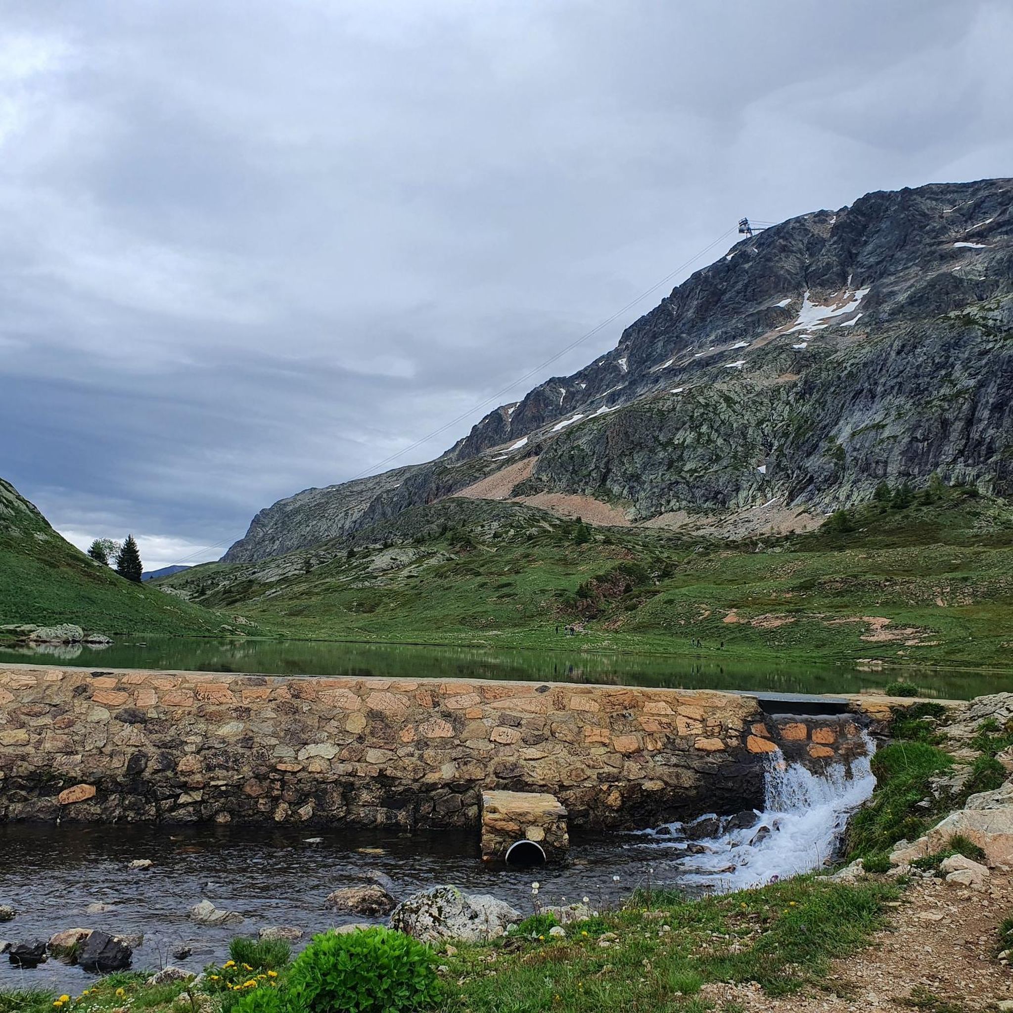
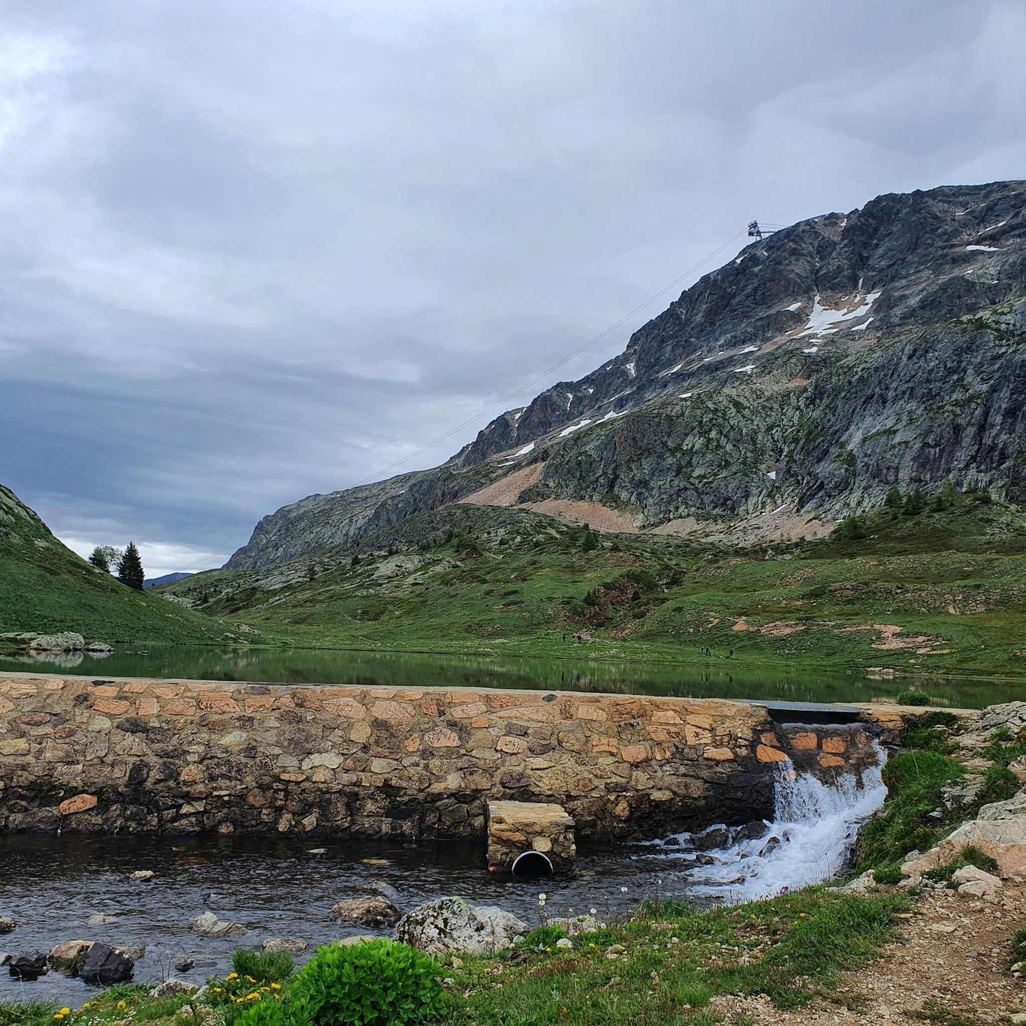
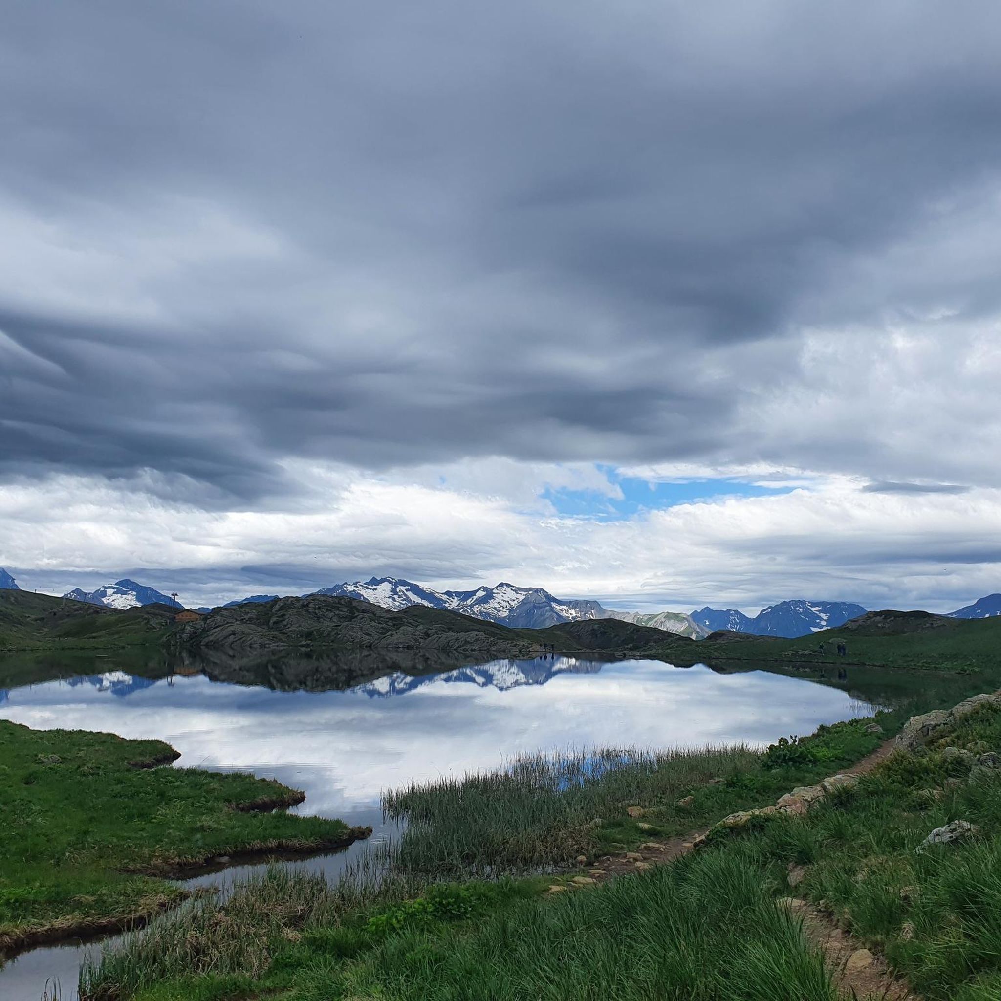
Another of the lakes of the Huez Plateau.
0
0
Frequently Asked Questions
What is the general difficulty level of mountaineering routes in Oz?
Mountaineering in Oz offers a range of challenges. You'll find both moderate and difficult routes, characterized by significant elevation changes and varied alpine terrain. There are 3 moderate routes and 3 difficult routes available in this guide.
Are there any challenging mountaineering routes for experienced climbers in Oz?
Yes, Oz provides several challenging routes for experienced mountaineers. For a demanding ascent with remote alpine scenery, consider the Lake Lérié – Black Lake loop from Besse, which covers 17.0 km and takes over 7 hours. Another difficult option is the La Jasse Sheepfold loop from Ornon, a 14.1 km trail with substantial elevation gain.
What are some good options for moderate mountaineering routes in Oz?
For those seeking a moderate challenge, Oz has several excellent options. The View of the Lake and Mountains loop from Vaujany is a popular choice, offering lake views over 8.6 km. Another moderate route is the Lac de la Faucille – Lake Besson loop from Huez, a longer 16.7 km path through scenic alpine landscapes.
What is the best season for mountaineering in Oz?
The best season for mountaineering in Oz is typically from late spring through early autumn (June to September). During these months, the weather is generally more stable, and trails are free of snow at lower to mid-altitudes, making for safer and more enjoyable conditions. Always check local weather forecasts before heading out.
Are there any circular mountaineering routes in Oz?
Yes, all the mountaineering routes featured in this guide around Oz are circular. This means you'll start and end at the same point, making logistics simpler. Examples include the La Jasse Sheepfold loop from Ornon and the Lake Lérié – Black Lake loop from Besse.
What kind of scenic views can I expect on mountaineering trails in Oz?
Mountaineering trails in Oz offer breathtaking alpine scenery. You can expect panoramic mountain vistas, pristine lakes like those on the View of the Lake and Mountains loop from Vaujany, and rugged, varied terrain. Many routes provide expansive views of the surrounding valleys and peaks.
Are there any waterfalls to see near the mountaineering routes in Oz?
Yes, the Oz region is home to several beautiful waterfalls. You might consider visiting the impressive Cascade de la Fare or the Oursière Waterfall. These natural attractions can be a rewarding addition to your mountaineering adventure.
What do other mountaineers say about the routes in Oz?
The mountaineering routes in Oz are highly regarded by the komoot community, holding an average rating of 4.6 stars from 5 reviews. Users often praise the challenging ascents, the stunning alpine landscapes, and the varied terrain that makes each route unique.
What should I know about parking and access for mountaineering trails in Oz?
Most mountaineering trailheads in Oz are accessible by car, with parking typically available near the starting points in villages like Ornon, Besse, Vaujany, Huez, and Clavans-en-Haut-Oisans. Specific parking details can often be found on individual route pages on komoot, or by checking local signage upon arrival.
Are there any shorter mountaineering routes suitable for a half-day trip in Oz?
Yes, if you're looking for a shorter mountaineering experience, the View of the Lake and Mountains loop from Vaujany is a moderate 8.6 km route that can typically be completed in about 3 hours 33 minutes. Another option is the Sarenne Pass – Croix de Cassini loop from Clavans-en-Haut-Oisans, a 6.3 km moderate trail taking around 2 hours 32 minutes.
What kind of gear is recommended for mountaineering in Oz?
Given the significant elevation changes and varied terrain in Oz, it's essential to be well-prepared. Recommended gear includes sturdy hiking boots with good ankle support, appropriate layers of clothing for changing alpine weather, a waterproof jacket, sufficient water and snacks, a map and compass or GPS device, and sun protection. For more challenging routes, trekking poles can also be beneficial.
Most popular attractions around Oz

Get inspired with the komoot mobile app


Explore more
Browse the best Mountain Hikes & Routes in other regions.
