The best gravel rides in Burnaby Lake Regional Park
4.8
(27)
658
riders
9
rides
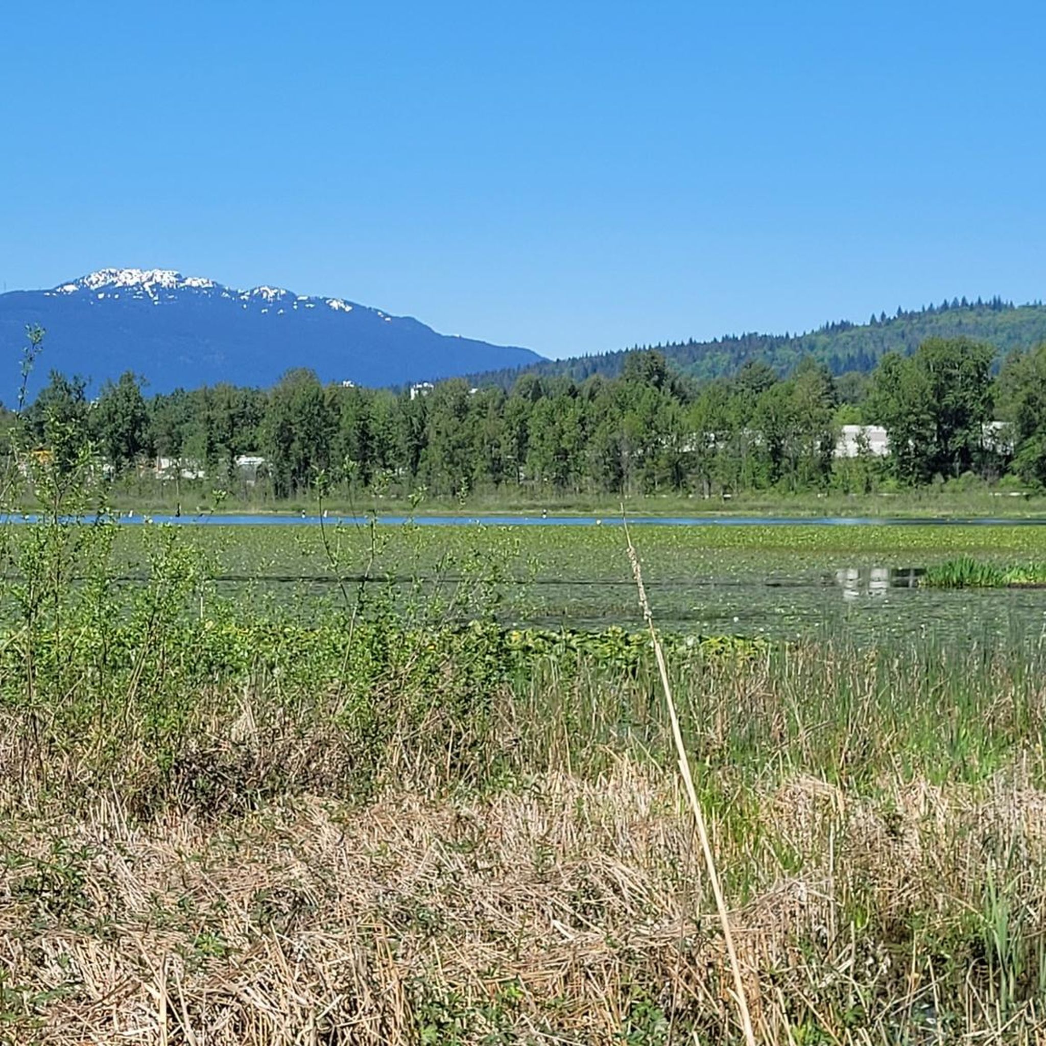
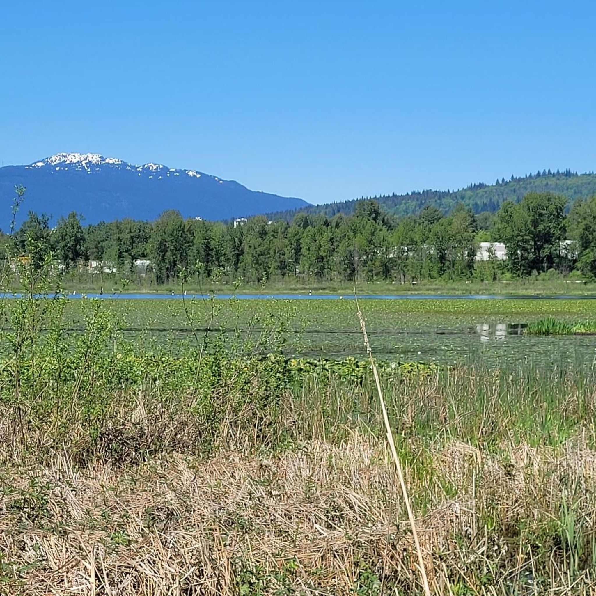
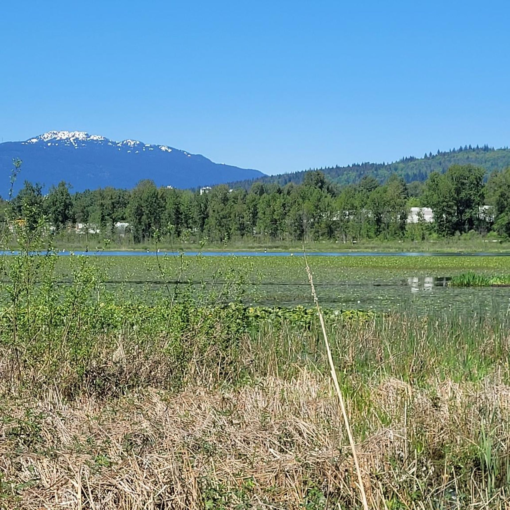
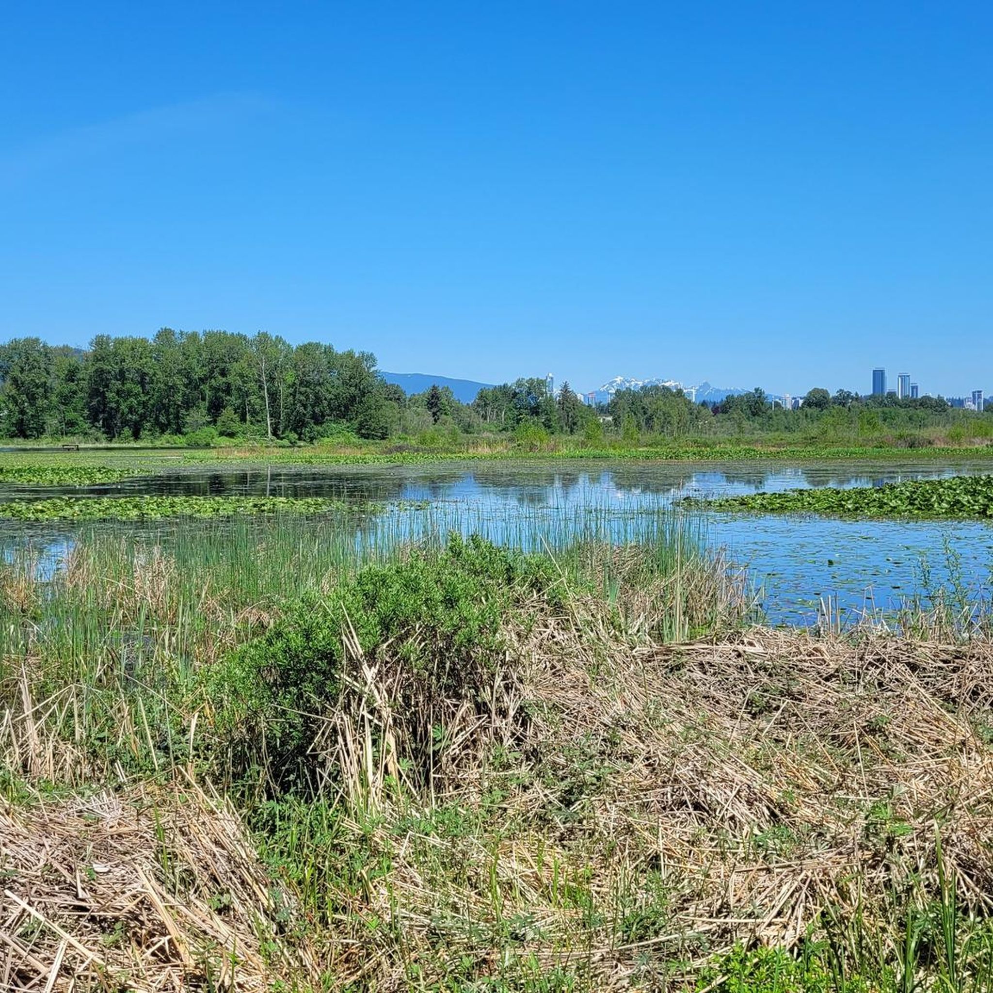
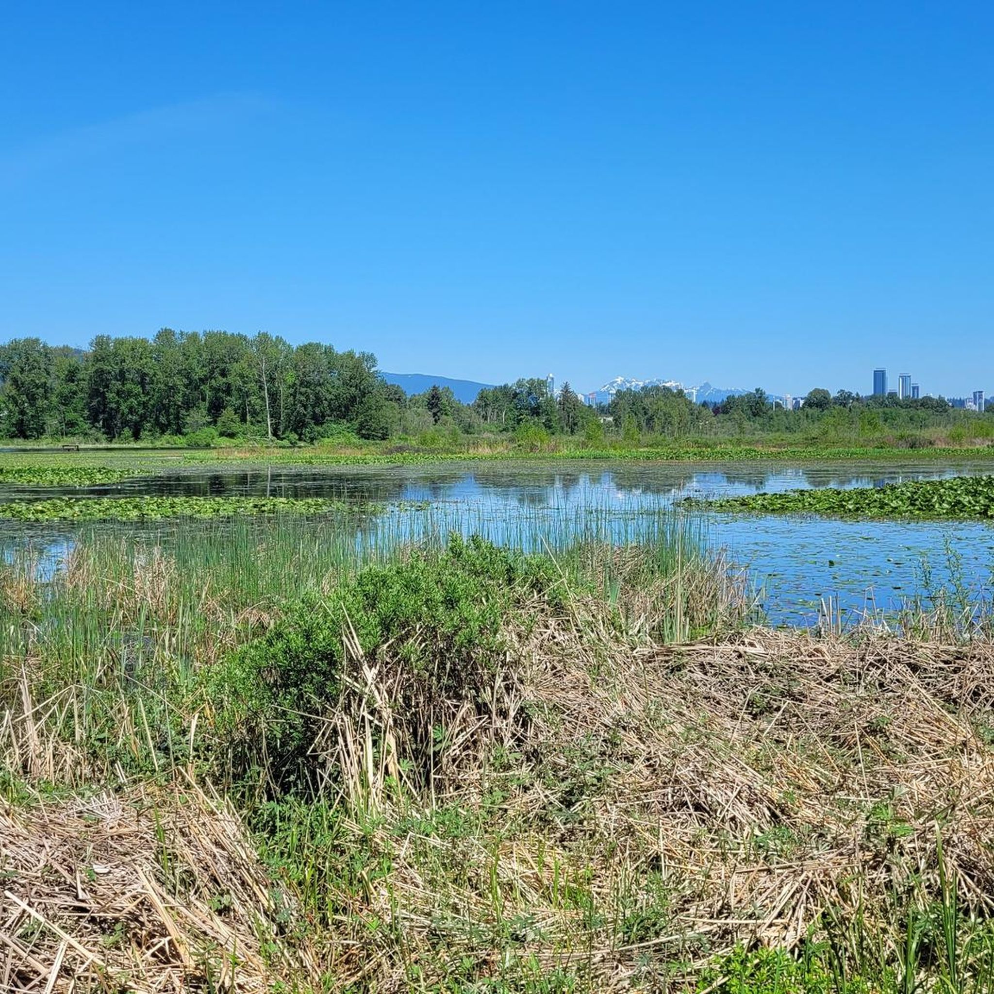
Gravel biking in Burnaby Lake Regional Park offers a diverse landscape for riders. The park features a large freshwater lake surrounded by extensive marshland, forested areas, and open fields, providing varied terrain for gravel bike trails. Riders can expect a mix of compacted gravel paths, paved sections, and some natural surface trails. The region generally presents gentle elevation changes around the lake, with some routes extending into areas with more significant climbs.
Best gravel bike trails in Burnaby Lake Regional…
Last updated: August 27, 2026
5.0
(9)
134
riders
74.9km
04:40
960m
960m
Hard gravel ride. Very good fitness required. You may need to push your bike for some segments of this route.
52
riders
45.5km
02:44
600m
600m
Hard gravel ride. Very good fitness required. Mostly paved surfaces. Suitable for all skill levels.

Sign up for free
4.0
(1)
10
riders
84.7km
04:27
500m
500m
Hard gravel ride. Very good fitness required. Mostly paved surfaces. Suitable for all skill levels.
14
riders
57.3km
03:19
650m
650m
Hard gravel ride. Very good fitness required. Mostly paved surfaces. Suitable for all skill levels.
5.0
(3)
78
riders
78.0km
04:37
910m
920m
Hard gravel ride. Very good fitness required. Mostly paved surfaces. Suitable for all skill levels.
Get access to more routes and recommendations from other explorers.
Sign up for free
Already have an account?
Our route recommendations are based on thousands of hikes, rides, and runs completed by other people on komoot.
Start today with a free account
Your next adventure awaits.
Login or Signup
Tips from the Community

immersion not recommended due to poor water quality in a port area
0
0

Great reclaimed rail bed to ride on, keep a lookout for the community gardens enroute…one in particular is extremely cool!
0
0

So need to use a gravel bike ? Would it be too challenge with road bike?
0
0

Here, the Avison Trail crosses over Stanley Park Causeway via a sidewalk on Stanley Park Drive and gives one of the best viewpoints over Lions Gate Bridge. There is an informational sign on the sidewalk about the bridge, and the viewpoints look straight down the bridge from between the forests.
1
0

Boundary Bay Wildlife Management Area protects a vast stretch of intertidal mudflats, salt marsh, and eelgrass habitat along Boundary Bay. The area supports large numbers of migratory shorebirds and waterfowl, making it one of the most important bird habitats on Canada’s Pacific coast. Its accessible trails, consistent bird activity, and ever-changing tidal scenery make it an especially rewarding place to explore on foot or by bike.
0
0
Boundary Bay Dyke Trail is a long, flat route along the shoreline, with uninterrupted views across mudflats and the open water. Its wide gravel surface is ideal for walking and cycling, with plenty of benches and access points along the way. Set along a major migratory route, the trail is especially known for birdlife and beautiful, expansive coastal scenery.
1
0

Be mindful of equestrians and give them as much space as possible.
0
0

A really beautiful place to walk.
3
0
Frequently Asked Questions
What types of gravel bike trails can I expect in Burnaby Lake Regional Park?
Burnaby Lake Regional Park offers a diverse mix of terrain for gravel biking. You'll find compacted gravel paths, paved sections, and some natural surface trails. The routes generally feature gentle elevation changes around the lake, with some extending into areas with more significant climbs.
Are there gravel bike trails suitable for beginners in Burnaby Lake Regional Park?
Yes, the park offers several routes suitable for beginners. While the guide highlights more challenging options, there are 2 easy and 4 moderate routes available. These typically feature less elevation gain and smoother surfaces, making them ideal for those new to gravel biking.
What are some challenging gravel bike routes for experienced riders?
For experienced riders seeking a challenge, Burnaby Lake Regional Park has 10 difficult routes. A popular choice is the Halfway Hairpin – Seymour Lake Gazebo loop from Lougheed Town Centre, which is 46.5 miles (74.8 km) long and features varied terrain with significant elevation gain. Another demanding option is the Frances–Union Bike Route – Burnaby North Viking Statue loop from Lougheed Town Centre, covering 57.3 miles (92.2 km) with substantial climbs.
What is the best time of year to go gravel biking in Burnaby Lake Regional Park?
The best time for gravel biking in Burnaby Lake Regional Park is typically from spring through fall (April to October) when the weather is milder and drier. However, the trails are accessible year-round. During winter, be prepared for cooler temperatures and potentially wet or muddy conditions, especially on natural surface trails.
Are there any family-friendly gravel biking options in the park?
While specific 'family-friendly' routes aren't explicitly categorized, the easier and moderate trails around Burnaby Lake, which feature gentle elevation and compacted surfaces, are generally suitable for families. These routes allow for a pleasant ride without overly technical sections.
Where can I park when visiting Burnaby Lake Regional Park for gravel biking?
Burnaby Lake Regional Park has several parking areas, including those near the Burnaby Lake Nature House and the Rowing Centre. Many komoot routes also start from locations like Production Way–University, Lougheed Town Centre, and Holdom, which are SkyTrain stations often with associated parking facilities or easy public transport access.
What kind of wildlife might I encounter on the trails?
Burnaby Lake Regional Park is a significant wildlife sanctuary. You might spot a variety of birds, including herons, eagles, and various waterfowl, especially around the lake and marshlands. Mammals like beavers, coyotes, and deer are also present, though often more elusive. Remember to observe wildlife from a distance and avoid disturbing their natural habitat.
Are there scenic viewpoints or attractions along the gravel bike routes?
Yes, the park offers several scenic spots. The trails often provide beautiful views of Burnaby Lake itself, surrounded by marshland and forested areas. You can also find points of interest like the Burnaby Lake Nature House and the Rowing Centre. The Halfway Hairpin – Seymour Lake Gazebo loop, for instance, offers views of Seymour Lake.
What do other gravel bikers say about Burnaby Lake Regional Park?
The komoot community highly rates gravel biking in Burnaby Lake Regional Park, with an average score of 4.8 stars from over 20 reviews. Riders often praise the varied terrain, the beautiful lake views, and the well-maintained paths that offer a great escape into nature within the city.
What should I wear for gravel biking in Burnaby Lake, especially if it rains?
Given Vancouver's climate, it's wise to be prepared for rain, especially outside of summer. We recommend wearing moisture-wicking layers, a waterproof and windproof jacket, and waterproof gloves. Fenders on your bike can also help keep you dry and comfortable on wet gravel paths.
Are there any coffee shops or amenities near the trails?
While the park itself is primarily natural, the routes often start or pass near urban centers like Lougheed Town Centre and Production Way–University, where you can find various coffee shops, cafes, and other amenities for pre- or post-ride refreshments.
Are there alternative gravel trails near Burnaby Lake Regional Park?
Yes, the broader Metro Vancouver area offers many gravel biking opportunities. For example, the Mud Bay Park – Boundary Bay Gravel Path loop from Holdom provides a different coastal gravel experience. Another option is the Seymour Demonstration Forest – Seymour Trailway loop from Holdom, which takes you through dense forest.
Most popular routes in Burnaby Lake Regional Park
Most popular attractions in Burnaby Lake Regional Park

Get inspired with the komoot mobile app


Explore more
Browse the best Gravel rides in other regions.
