The best road cycling routes in Burnaby Lake Regional Park
4.3
(170)
6,475
riders
90
rides
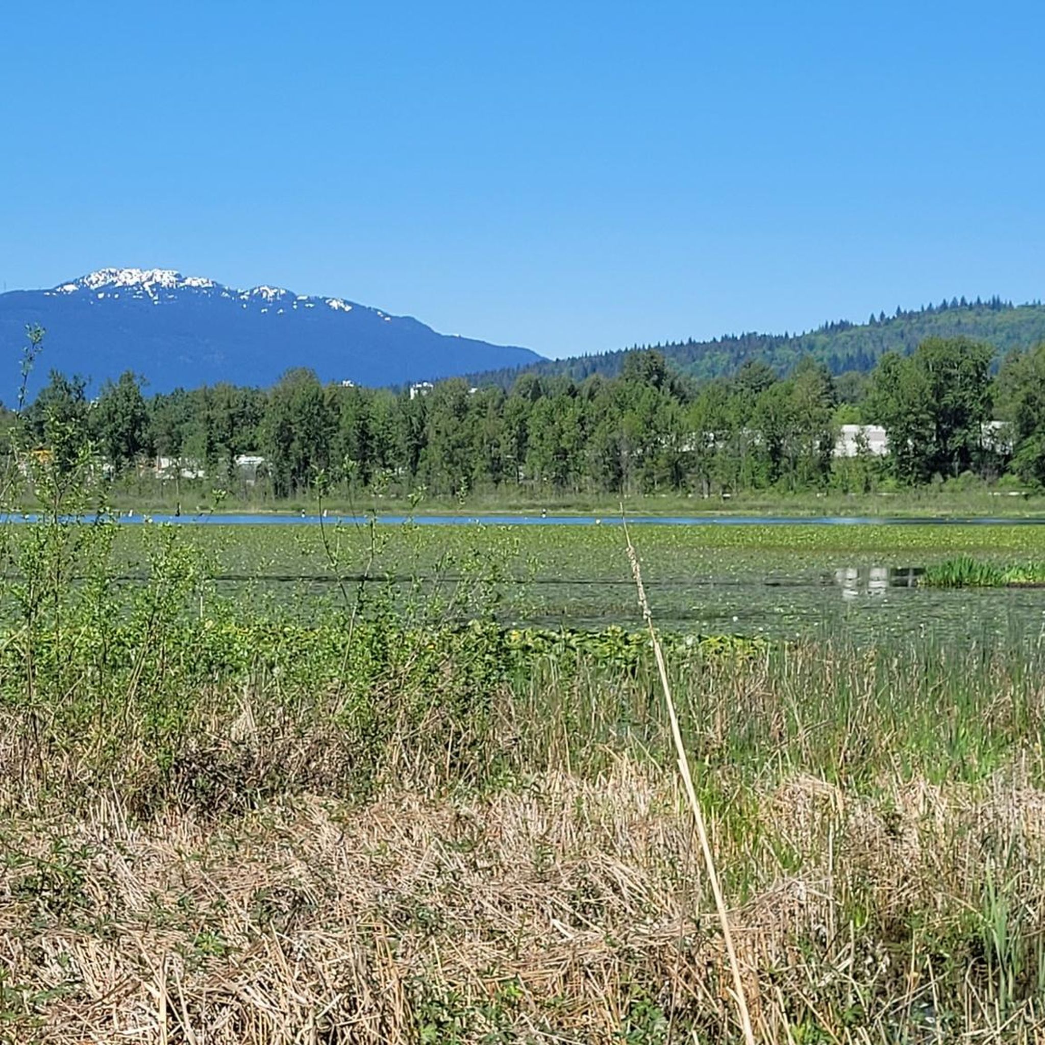
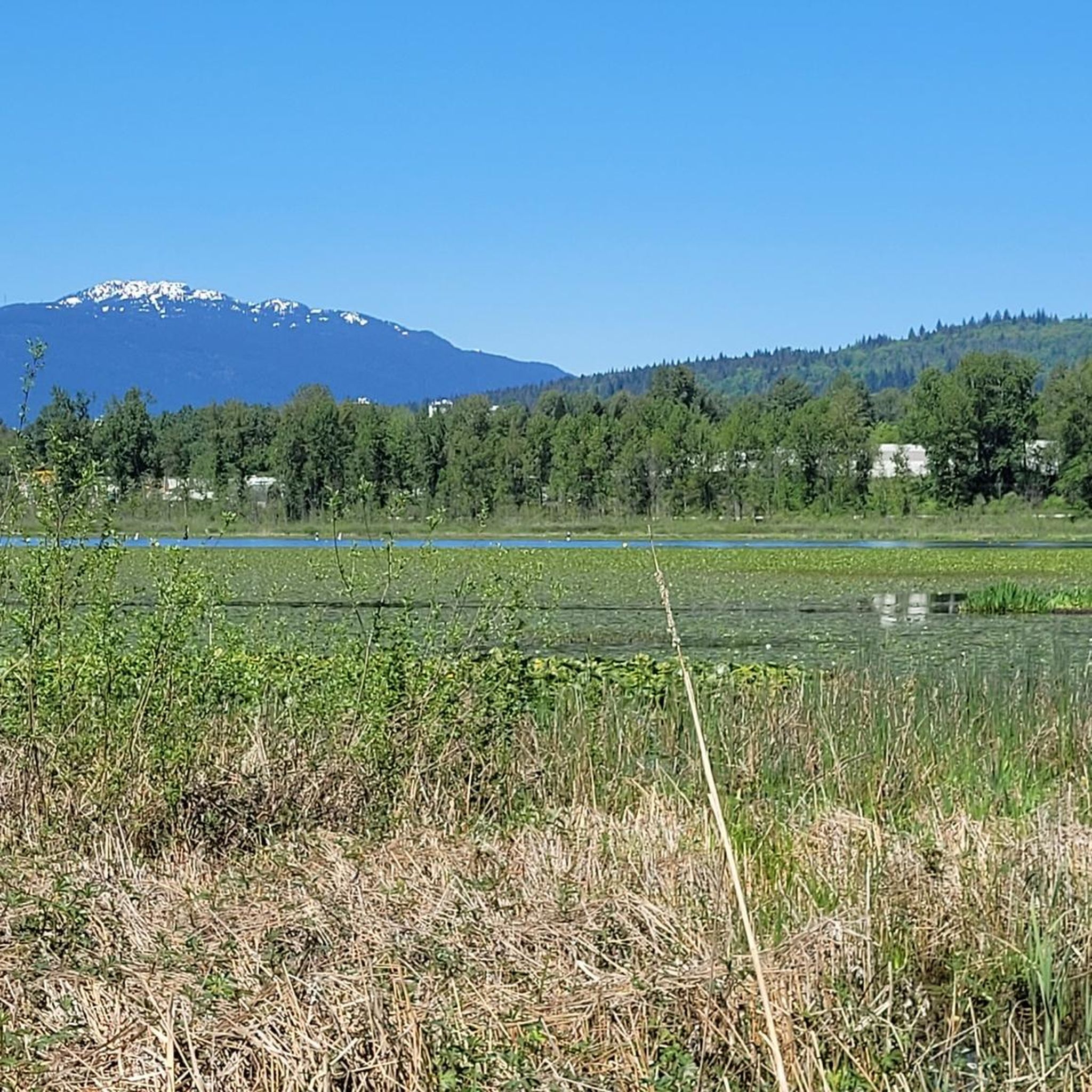
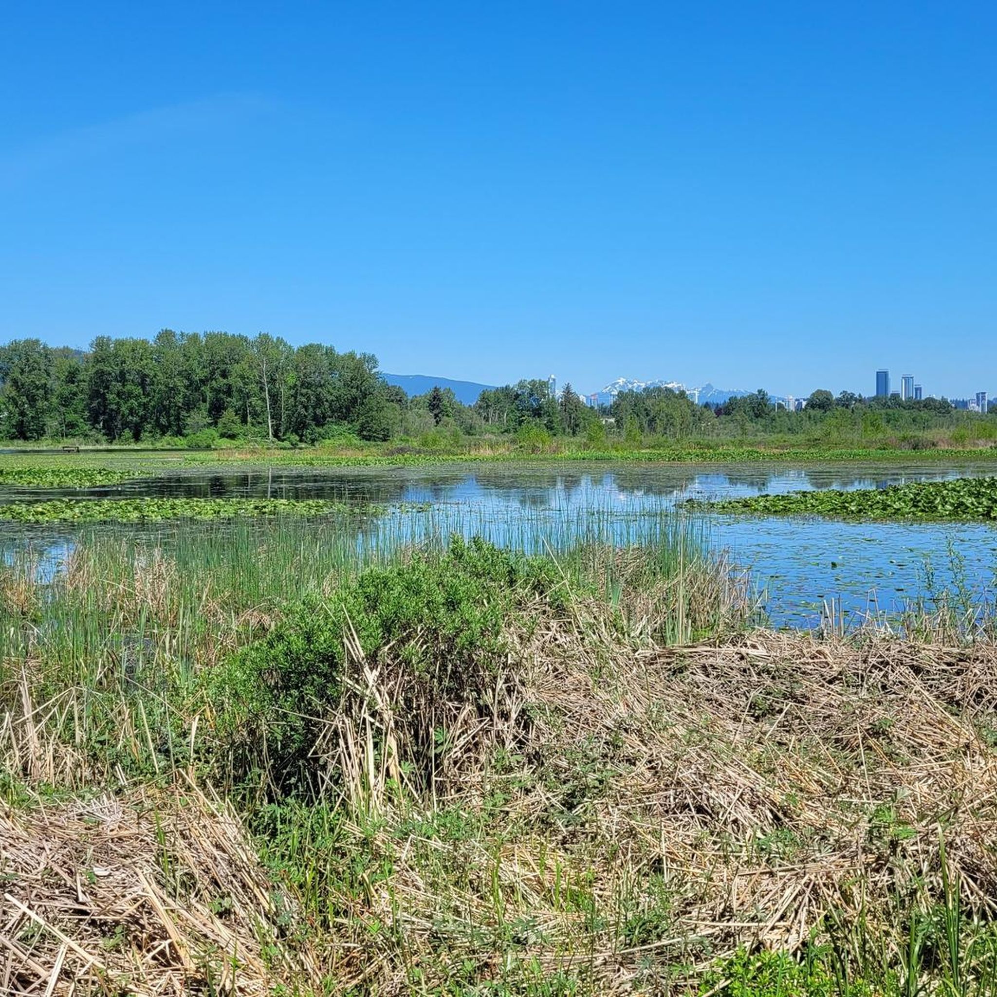
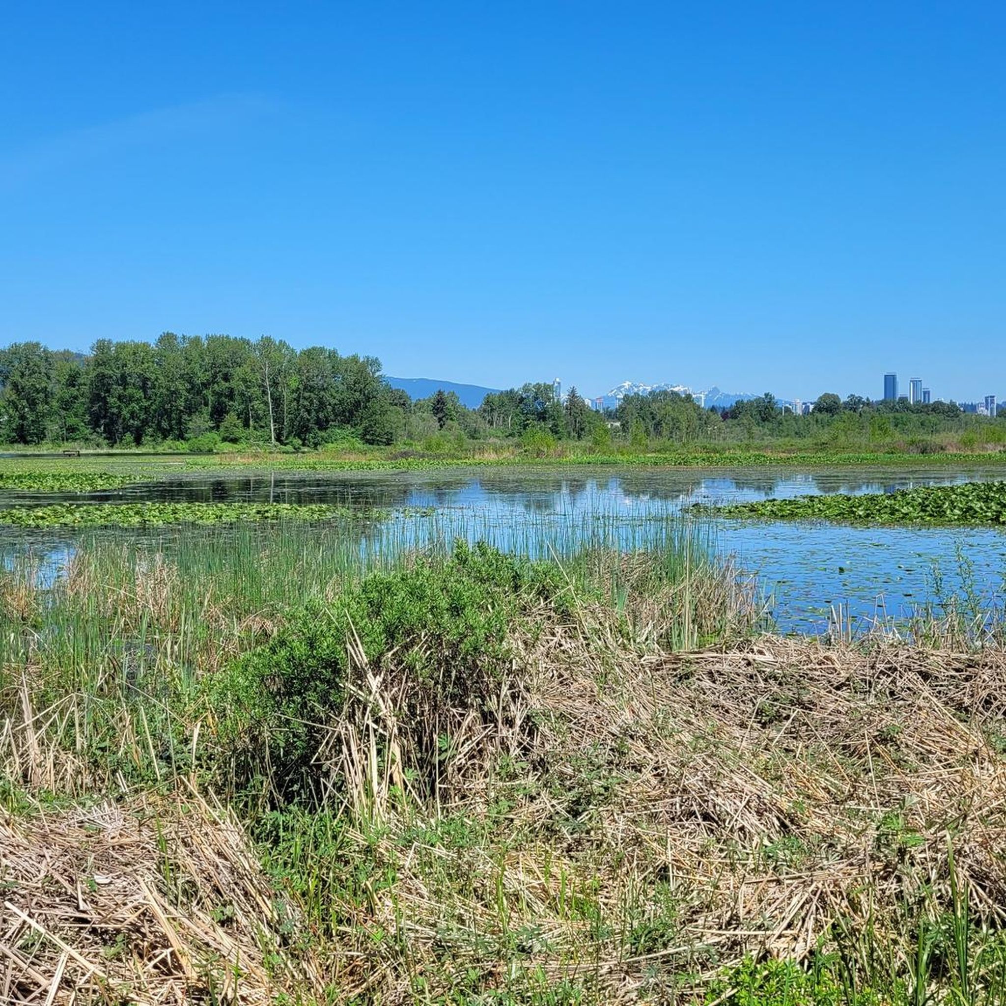
Road cycling routes in Burnaby Lake Regional Park primarily utilize external paved surfaces and designated shared-use paths, as core park trails are generally not open to cycling. The park is centered around Burnaby Lake, a glacial lake surrounded by extensive wetlands and mixed forests. While dedicated road cycling within the park is limited to paths like the Freeway Trail and Avalon Trail, these connect to broader urban cycling networks. The terrain around the park offers varied elevation profiles, connecting to wider regional routes.
Best road cycling routes in Burnaby Lake Regional Park
- The most popular road cycling route is Good Trail loop from Sperling–Burnaby Lake, a 35.4 miles (57.1 km) trail that takes 2 hours 55 minutes to complete. This difficult route features significant elevation gain, connecting various urban and park-adjacent paths.
- Another top favourite among local road cyclists is Central Valley Greenway – Adanac Bikeway loop from Sperling–Burnaby Lake, a moderate 28.8 miles (46.3 km) path. This route combines urban greenways with sections near the park, offering a mix of flat and rolling terrain.
- Local road cyclists also love the Good Trail loop from Production Way–University, a 17.6 miles (28.3 km) trail leading through varied urban and natural landscapes, often completed in about 1 hour 45 minutes.
- Road cycling in Burnaby Lake Regional Park is defined by connections to urban greenways, views of the central lake, and surrounding mixed forests. The network offers options for different ability levels, from moderate loops to more challenging routes with significant climbs.
- The routes in Burnaby Lake Regional Park are highly rated by the komoot community with an average score of 4.5 stars from over 160 reviews. More than 6,000 road cyclists have used komoot to explore Burnaby Lake Regional Park's varied terrain.
Last updated: October 23, 2026
4.0
(4)
195
riders
Hard road ride. Very good fitness required. Some segments of this route may be unpaved and difficult to ride.
44
riders
Moderate road ride. Good fitness required. Mostly well-paved surfaces and easy to ride.

5.0
(1)
10
riders
26.7km
01:36
330m
330m
Moderate road ride. Good fitness required. Some segments of this route may be unpaved and difficult to ride.
4.0
(2)
66
riders
38.4km
01:42
220m
220m
Moderate road ride. Great for any fitness level. Some segments of this route may be unpaved and difficult to ride.
17
riders
64.3km
03:13
860m
860m
Moderate road ride. Good fitness required. Mostly well-paved surfaces and easy to ride.
Get access to more routes and recommendations from other explorers.
Already have an account?
Our route recommendations are based on thousands of hikes, rides, and runs completed by other people on komoot.
Start today with a free account
Your next adventure awaits.

Tips from the Community

The first picture with the lighthouse is not Ambleside Park.
1
0

Montrose Park sits perched on the steep bluffs of the Burrard Inlet with great views. Some sights you can see are elevated views of the Ironworkers Memorial Bridge and the Second Narrows Rail Bridge, and the rail bridge will sometimes lift into the air to let large cargo ships pass underneath. This waterway is also a bus shipping lane of the inner Burrard Inlet, dotted with terminals, tugboats, and container ships that fuel Vancouver's port. The Trans Canada Trail cuts through the park as a flat gravel path. This path is open to walking or biking two kilometres east directly into Confederation Park, passing through thick second-growth forests and over small creeks.
0
0

Also known as the Harry Jerome Sports Centre, you can play volleyball here and the indoor cycling track has an incredible banked wooden oval. If it's open, the velodrome is well worth a step inside to see the cycling track if nothing else.
0
0

This 27-hectare park in Vancouver's Cedar Cottage neighbourhood has so much to offer it's no wonder that it is the heart of the neighbourhood. You'll find the usual park offerings like picnic area, playground, and sports fields but there's also Trout Lake in the middle of the park, 2 concession stands, hiking & biking trails, an indigenous medicine garden, and the Trout Lake Community Centre which has it's own wide range of amenities.
0
0
təmtəmíxʷtən/Belcarra Regional Park sits covers 1,100 hectares (2,700 acres) and offers a mix of beaches, shaded trails, and calm lake swimming. You can explore cool, mossy glades beneath towering trees, wander shoreline paths, or head inland to Sasamat Lake, known for its warm summer water and family‑friendly beaches. The parks name, given by the Tsleil‑Waututh Nation, means “the biggest place for all the people,” and the land still holds a high place in their history and culture.
0
0
Ambleside Park is a stunning waterfront public space on the shores of Howe Sound across the water from downtown Vancouver. This path is open for walking, jogging, or biking along the park's wide seaside boardwalk, which connects to the Centennial Seawalk. Looking south, freighters and sailboats dot the waters under the Vancouver skyline. The beach is a mix of sand and pebbles, popular for sunbathing, beachcombing, and swimming. Even dogs can enjoy the park in the designated off-leash zone. The park also has golfing, baseball, and pickleball fields, plenty of activities for everyone.
1
0

Really super nice sculptures
3
0

Confederation Park is North Burnaby's first park and has a little something for everybody. It offers hiking trails, softball, lawn bowling, a skate park, a playground, tennis courts, and much more.
0
0
Frequently Asked Questions
Are road bikes allowed on all trails within Burnaby Lake Regional Park?
No, road cycling within the core of Burnaby Lake Regional Park is generally limited. The primary 10-kilometer Burnaby Lake Loop trail is typically not open to cycling. However, the Freeway Trail and Avalon Trail are designated for shared use, including cycling, and offer approximately 7 kilometers of flat cycling, connecting to external bike routes.
What kind of terrain can I expect on road cycling routes near Burnaby Lake Regional Park?
Road cycling routes in the vicinity of Burnaby Lake Regional Park primarily utilize external paved surfaces and designated shared-use paths. While some sections within the park are flat, routes connecting to the broader urban network can feature varied elevation profiles, offering options from moderate loops to more challenging rides with significant climbs.
How many road cycling routes are available around Burnaby Lake Regional Park?
There are over 120 road cycling routes available in and around Burnaby Lake Regional Park. These routes cater to various skill levels, with approximately 39 easy, 72 moderate, and 10 difficult options to choose from.
Are there any family-friendly road cycling routes near Burnaby Lake?
For family-friendly road cycling, consider routes that incorporate the flatter, shared-use sections like the Freeway Trail and Avalon Trail within the park, which are generally flat. Additionally, many routes connect to the broader Central Valley Greenway, which offers accessible and paved sections suitable for families.
What are some notable natural features or attractions to see while cycling near Burnaby Lake?
While cycling, you'll be in the vicinity of Burnaby Lake itself, a significant wildlife sanctuary. The park is home to over 400 species of plants and animals, including numerous bird species like great blue herons and bald eagles. You might also spot wetlands, peat bog ecosystems, and mixed forests. For birdwatching, the Viewing Tower near Piper Spit is a popular spot.
What do other road cyclists think about the routes in Burnaby Lake Regional Park?
The road cycling routes in Burnaby Lake Regional Park are highly rated by the komoot community, with an average score of 4.5 stars from over 160 reviews. Cyclists often praise the variety of terrain, the connection to urban greenways, and the scenic views of the lake and surrounding natural landscapes.
Are there any circular road bike routes that start and end near Burnaby Lake?
Yes, there are several circular road bike routes. An example is the Good Trail loop from Sperling–Burnaby Lake, which is a challenging 57.1 km route. Another option is the Central Valley Greenway – Adanac Bikeway loop from Sperling–Burnaby Lake, a moderate 46.3 km path combining urban greenways with sections near the park.
Can I access Burnaby Lake Regional Park by public transport for cycling?
Yes, Burnaby Lake Regional Park is accessible by public transport. The park is well-connected to the broader Metro Vancouver transit network, with bus routes and SkyTrain stations (such as Sperling–Burnaby Lake and Production Way–University) located nearby, making it convenient to bring your bike and start your ride.
Where can I park my car when cycling in Burnaby Lake Regional Park?
Parking is available at various access points around Burnaby Lake Regional Park. Common parking areas include those near the Sperling–Burnaby Lake SkyTrain station and the Nature House. These spots provide convenient starting points for accessing the external paved routes and shared-use trails suitable for road cycling.
What is a good moderate-difficulty road cycling route in the area?
For a moderate challenge, consider the Good Trail loop from Production Way–University. This 28.3 km route leads through varied urban and natural landscapes and can typically be completed in about 1 hour 45 minutes, offering a balanced ride.
Are there any routes that offer views of the Vancouver skyline?
While Burnaby Lake Regional Park itself focuses on natural views, some longer road cycling routes that extend from the park's vicinity can offer cityscapes. For example, the View of Vancouver Skyline – Science World loop from Lake City Way is an easy 40.4 km route that takes you towards the city, providing opportunities for skyline views.
Is Burnaby Lake Regional Park a good place for birdwatching while cycling?
Burnaby Lake Regional Park is an excellent destination for birdwatching. It's a significant wildlife sanctuary, hosting at least 70 species of resident birds and approximately 214 visiting species throughout the year. While cycling on permitted paths, you'll be in an area rich with birdlife, especially near the lake and wetlands. The Viewing Tower at Piper Spit is particularly renowned for bird observation.
Most popular routes in Burnaby Lake Regional Park
Most popular attractions in Burnaby Lake Regional Park

Get inspired with the komoot mobile app


Explore more
Browse the best Road cycling routes in other regions.
