The best running trails in Tomales Bay State Park
137
runners
25
runs
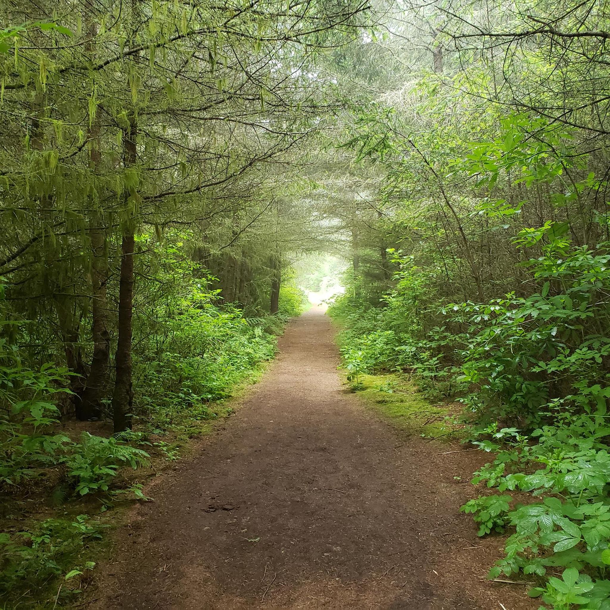
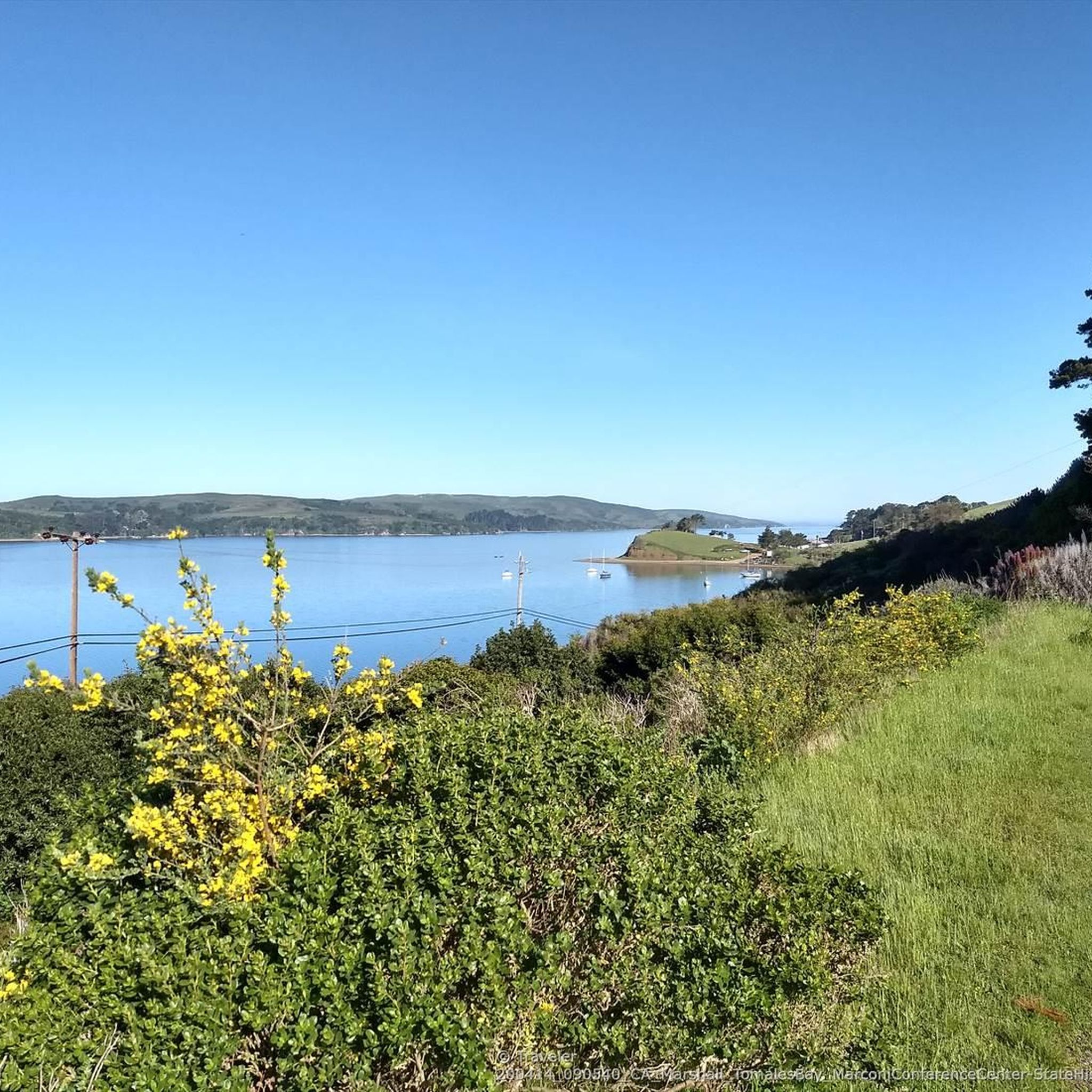
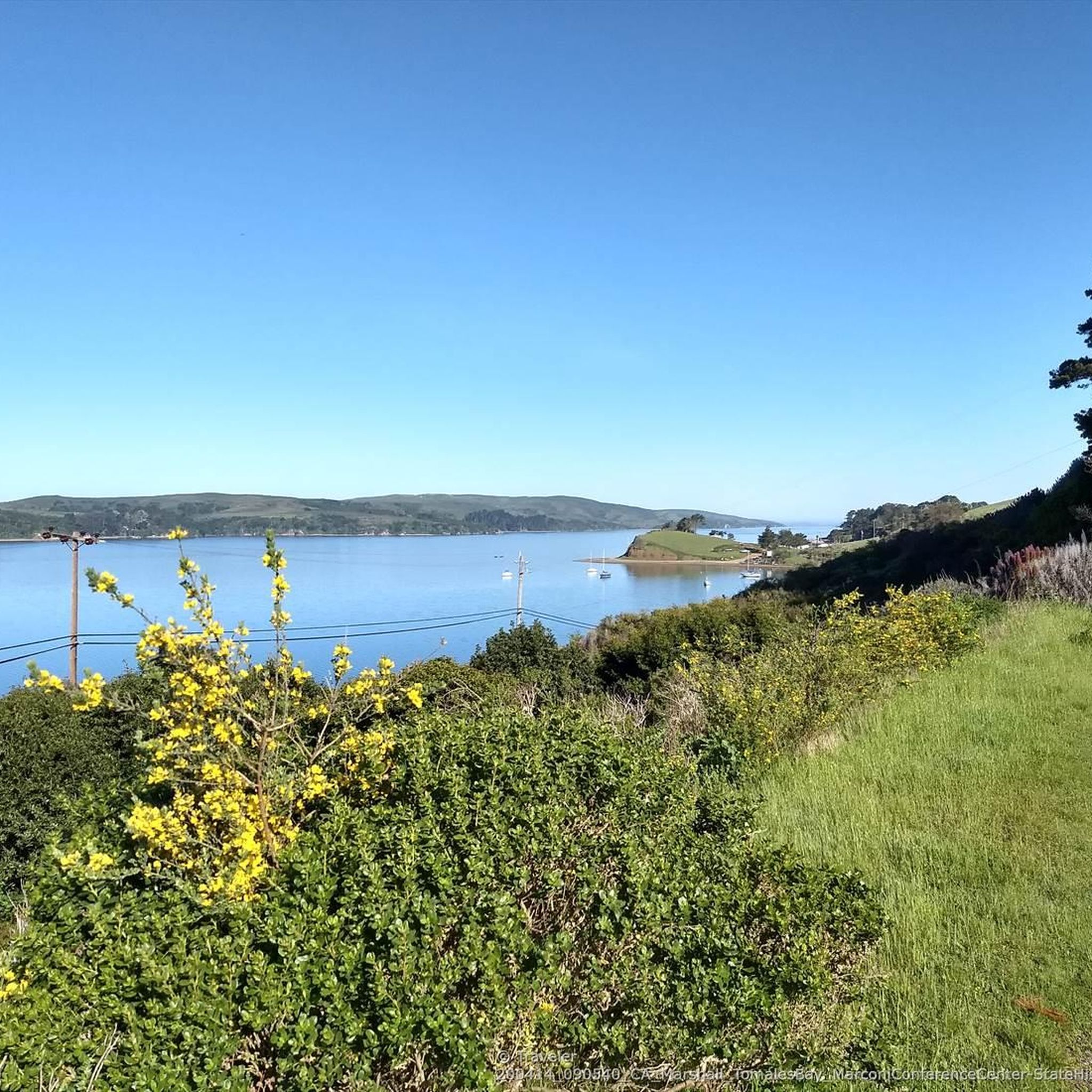
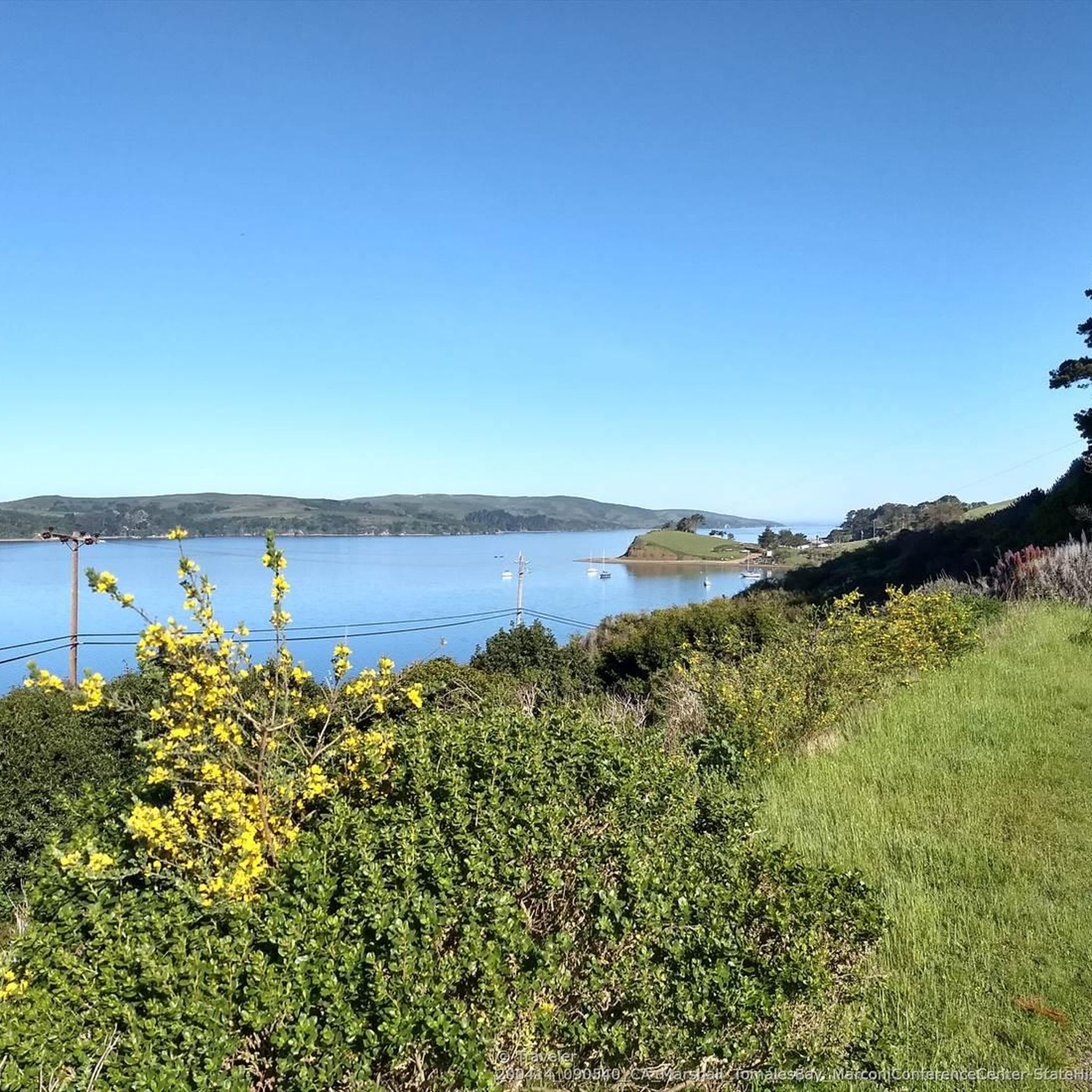
Jogging in Tomales Bay State Park offers diverse landscapes, characterized by Bishop Pine forests, including the Jepson Memorial Grove, which provides shaded paths. The coastline features sheltered coves and beaches such as Heart's Desire and Shell Beach, offering calm, scenic stretches for running. The terrain also includes fields, rolling hills, meadows, and tidal marshes, ensuring varied running experiences. The park's unique geological foundation rests on the eastern edge of the Point Reyes Peninsula, with the San Andreas Fault running beneath Tomales Bay.
Best jogging routes in Tomales Bay State Park
- The most popular jogging route is Jepson and Johnstone Trail Loop, a 7.6 miles (12.2 km) trail that takes 1 hour 37 minutes to complete. This difficult route features significant elevation gain through varied park landscapes.
- Another top favourite among local runners is Running loop from Inverness Park, a difficult 5.9 miles (9.5 km) path. This route includes a climb of over 1024 feet (312 meters), offering a vigorous workout.
- Local runners also love the Woodward Valley Trail – Sculptured Beach loop from Inverness Park, a 13.8 miles (22.3 km) trail leading through diverse ecosystems, often completed in about 2 hours 52 minutes.
- Jogging in Tomales Bay State Park is defined by Bishop Pine forests, sheltered beaches, and varied hills. The network offers options for different ability levels, from moderate loops to more difficult, longer trails.
- The guide includes highly-rated routes that showcase the best of the region's landscape. More than 145 runners have used komoot to explore Tomales Bay State Park's varied terrain.
Last updated: July 7, 2026
5
runners
12.2km
01:37
320m
330m
Hard run. Very good fitness required. Mostly paved surfaces. Suitable for all skill levels.
3
runners
11.2km
01:31
360m
360m
Hard run. Very good fitness required. Mostly paved surfaces. Suitable for all skill levels.

Sign up for free
9
runners
8.79km
01:01
130m
120m
Moderate run. Good fitness required. Mostly paved surfaces. Suitable for all skill levels.
3
runners
17.4km
02:19
510m
510m
Hard run. Very good fitness required. Mostly paved surfaces. Suitable for all skill levels.
1
runners
4.67km
00:30
30m
30m
Easy run. Great for any fitness level. Mostly paved surfaces. Suitable for all skill levels.
Get access to more routes and recommendations from other explorers.
Sign up for free
Already have an account?
Our route recommendations are based on thousands of hikes, rides, and runs completed by other people on komoot.
Start today with a free account
Your next adventure awaits.
Login or Signup
Popular around Tomales Bay State Park
Tips from the Community

This trail includes beautiful forest and spectacular coastal hiking. Beginning on Mt. Wittenberg at Sky Trail, Woodward Valley Trail is one of the lushest, greenest trails in the park. Follow this all the way down to Coast Trail where you'll enjoy open ocean views as you either head north to Coast Camp and the Hostel, or head south to the Bear Valley Trail.
0
0

A remote stretch of beach, Santa Maria is at the southeast end of Limantour Beach. If you're here during low tide you can walk to the southern end of the beach & explore some great tide pools.
0
0
Paradise of a beach cove on Tomales Bay, reached by a 10 minute walk down a winding trail with a few steps at the end.
0
0
Great views descending on paved Limantour Road to the beach. Or take this turnoff to the gravel Inverness Ridge fire road that's mostly gradual and bikeable with touring tires, except for the last few hundred feet that climb better with a mountain bike over rough surface before hitting pavement again near the top of the ridge. Also the trailhead to the Bayview hiking Trail. Excellent maps explain the succession of regrowth and extent of the large Vision Fire that devastated this area some years ago.
0
1
From the trailhead it's only a short distance to Abbotts Lagoon on firm trails. It is a picturesque two-stage lagoon on the northwestern coast of the Point Reyes National Seashore, southwest of Tomales Point. The upper lagoon is a fresh water impoundment which overflows into a lower brackish level with occasional winter tidal exchange. The eastern shore of the lagoon is covered with old growth northern coastal scrub including coyote bush, yellow bush lupine, sword fern and California blackberry. https://en.wikipedia.org/wiki/Abbotts_Lagoon
0
0
Pleasant trails around Abbotts Lagoon, a two-stage lagoon on the northwestern coast of the Point Reyes National Seashore, southwest of Tomales Point. The upper lagoon is a fresh water reservoir which overflows into a lower brackish level with occasional winter tidal exchange. The eastern shore of the lagoon is covered with old growth northern coastal scrub including coyote bush, yellow bush lupine, sword fern and California blackberry. https://en.wikipedia.org/wiki/Abbotts_Lagoon
0
0
Highest peak in the park. Surrounded by Douglas Fir forest at the top, so no views. Better views are at the Sky Trail intersection a few minutes below.
1
0
Wild, undisturbed beach on Point Reyes National Seashore. Given the undertows and low temperatures the safer beaches in the park are on Tomales Bay.
0
0
Frequently Asked Questions
How many running routes are available in Tomales Bay State Park?
Tomales Bay State Park offers a wide selection of running routes, with over 25 trails mapped on komoot. These routes cater to various fitness levels, including 1 easy, 6 moderate, and 19 difficult options, ensuring a suitable path for every runner.
Are there any easy jogging routes suitable for beginners in Tomales Bay State Park?
Yes, for those seeking a less strenuous run, there is at least one easy jogging route available. Additionally, several moderate trails offer a good balance for beginners looking to gradually increase their challenge. Consider exploring areas like Millerton Point, which features a loop trail suitable for all levels.
What kind of terrain can I expect on the running trails in Tomales Bay State Park?
The running trails in Tomales Bay State Park offer incredibly diverse terrain. You'll encounter shaded paths through Bishop Pine forests, including the serene Jepson Memorial Grove, as well as stretches along sheltered coves and beaches like Heart's Desire and Shell Beach. The landscape also features fields, hills, meadows, and tidal marshes, providing varied surfaces and scenic backdrops for your run.
Are there any dog-friendly running trails in Tomales Bay State Park?
While some areas within the park, particularly specific beaches and trails in the Heart's Desire area, do not permit dogs, there are dog-friendly options. The loop trail at Millerton Point is a notable area where dogs are permitted on leash, offering a pleasant running experience for you and your canine companion.
What are some notable landmarks or scenic views I can enjoy while running in Tomales Bay State Park?
Tomales Bay State Park is rich in natural beauty. You can run through the unique Bishop Pine forests, including the ancient Jepson Memorial Grove. The park also features stunning sheltered coves and beaches like Shell Beach and Heart's Desire. Many trails offer spectacular views of the rugged Northern California coastline and the Pacific Ocean, especially from higher elevations. The bay itself is a prominent feature, often frequented by various bird species.
Are there any loop running routes in Tomales Bay State Park?
Yes, Tomales Bay State Park offers several loop running routes. For a challenging experience, consider the Woodward Valley Trail – Sculptured Beach loop from Inverness Park, which covers 13.8 miles (22.3 km) through diverse ecosystems. Another option is the Running loop from Petaluma Center, a moderate 4.9 miles (7.8 km) path with significant elevation gain. Millerton Point also features a loop trail suitable for all levels.
What is the best time of year to go running in Tomales Bay State Park?
Tomales Bay State Park is protected from strong prevailing winds by Inverness Ridge, making it a comfortable environment for outdoor activities year-round. However, the diverse ecosystems mean scenery changes seasonally. For specific weather conditions, it's always best to check local forecasts before your visit. The park's sheltered nature often makes it pleasant even on cooler days.
Are there any facilities like restrooms or water available along the running routes?
Yes, Heart's Desire Beach, a central part of Tomales Bay State Park, provides convenient day-use facilities. These include picnic areas, restrooms, and drinking water, making it an ideal base for your running excursion and a place to refresh during or after your run.
What are some of the more challenging running routes in the park?
For experienced runners seeking a challenge, Tomales Bay State Park offers several difficult routes. The Johnstone Trail to Shell Beach — Tomales State Park is a difficult 7.6-mile (12.2 km) trail with significant elevation gain. Another demanding option is the Running loop from Inverness Park, a 9.5-mile (15.3 km) route also rated as difficult.
Where can I find more information about Tomales Bay State Park's regulations or maps?
For detailed information regarding park regulations, official maps, and any specific permits that might be required for certain activities, you can visit the official California State Parks website for Tomales Bay State Park at parks.ca.gov/tomalesbay. They also provide a detailed park brochure with a map, which can be found at parks.ca.gov/pages/470/files/TomalesBaySPFinalWebLayout050917.pdf.
What do other runners enjoy most about running in Tomales Bay State Park?
Runners frequently praise the diverse and picturesque landscapes of Tomales Bay State Park. The komoot community, with over 190 visitors, often highlights the unique experience of running through Bishop Pine forests and along the serene, sheltered beaches. The variety of terrain, from gentle paths to challenging climbs, is also a popular aspect, offering something for every ability level.
Are there opportunities for wildlife spotting while running?
Yes, Tomales Bay State Park is a haven for wildlife. While running, you might spot land animals such as foxes, raccoons, and bobcats. The bay itself is rich in marine life and frequently visited by various bird species, including blue herons, cormorants, and egrets. For a chance to see Tule Elk, you can extend your exploration to the nearby Tomales Point in Point Reyes National Seashore.
Most popular routes in Tomales Bay State Park
Most popular attractions in Tomales Bay State Park

Get inspired with the komoot mobile app


Explore more
Browse the best Running Trails & Routes in other regions.
