The best walks and hikes in Tomales Bay State Park
4.9
(92)
1,506
hikers
76
hikes
Hikes in Tomales Bay State Park navigate a landscape of sheltered coves, sandy beaches, and dense woodlands on the Point Reyes Peninsula. The region is characterized by trails that wind through forests of Bishop pine and along the calm shoreline of the bay. The terrain offers a mix of gentle coastal paths and routes with moderate elevation changes along the Inverness Ridge.
Best hiking trails in Tomales Bay State Park
- The most popular hiking route is Shell Beach — Tomales…
Last updated: July 7, 2026
9
hikers
4.20km
01:14
120m
130m
Easy hike. Great for any fitness level. Easily-accessible paths. Suitable for all skill levels.
2.62km
00:48
150m
20m
Easy hike. Great for any fitness level. Easily-accessible paths. Suitable for all skill levels.

Sign up for free
5.0
(2)
11
hikers
12.6km
03:38
320m
320m
Moderate hike. Good fitness required. Easily-accessible paths. Suitable for all skill levels.
1
hikers
1.96km
00:30
10m
10m
Easy hike. Great for any fitness level. Easily-accessible paths. Suitable for all skill levels.
6
hikers
11.5km
03:32
410m
410m
Moderate hike. Good fitness required. Easily-accessible paths. Suitable for all skill levels.
Get access to more routes and recommendations from other explorers.
Sign up for free
Already have an account?
Our route recommendations are based on thousands of hikes, rides, and runs completed by other people on komoot.
Start today with a free account
Your next adventure awaits.
Login or Signup
Tips from the Community

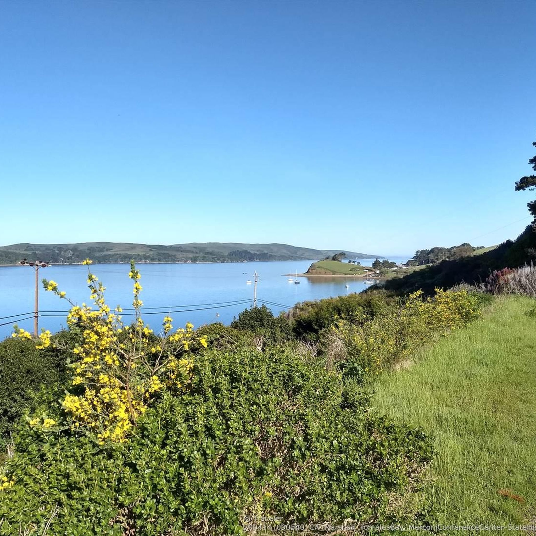
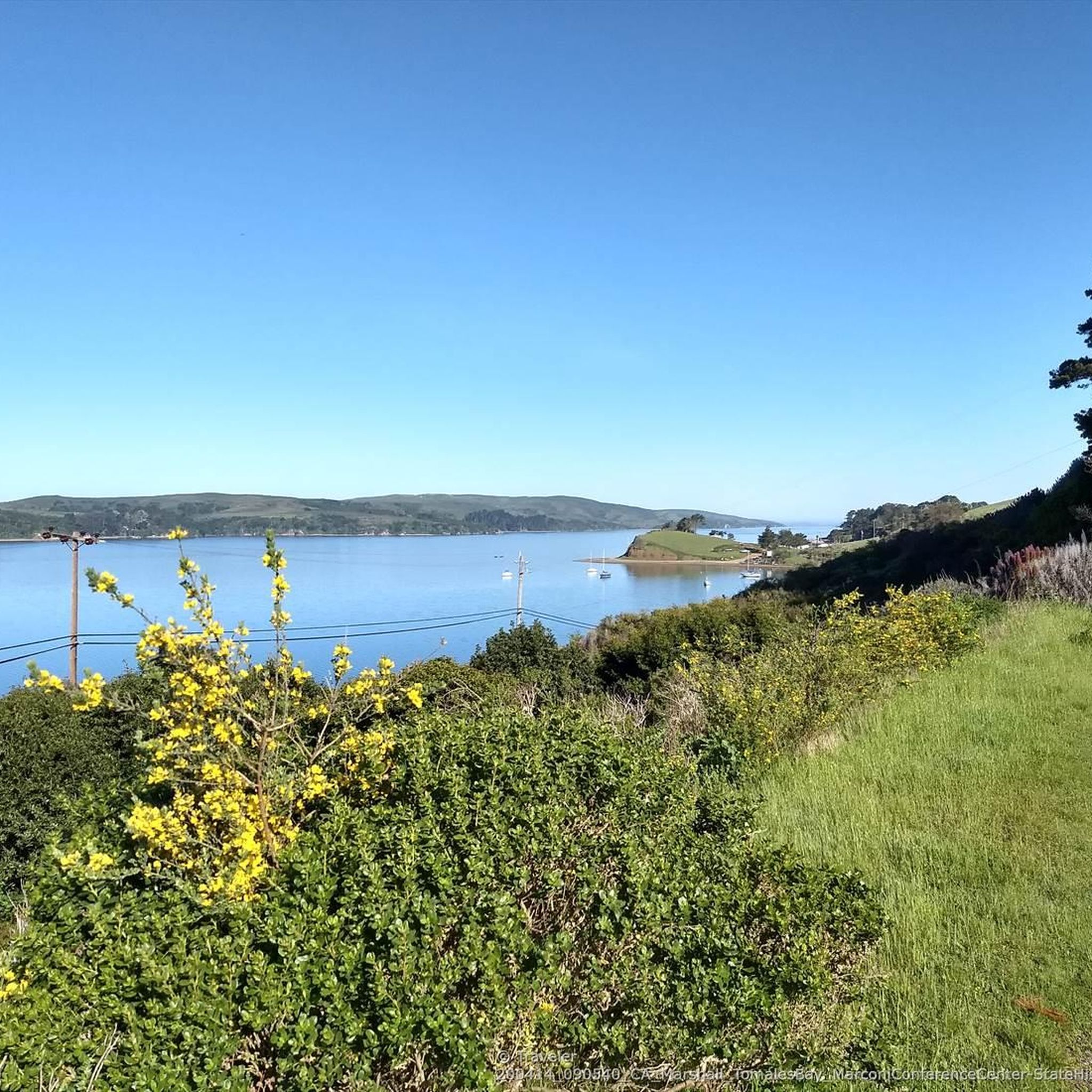
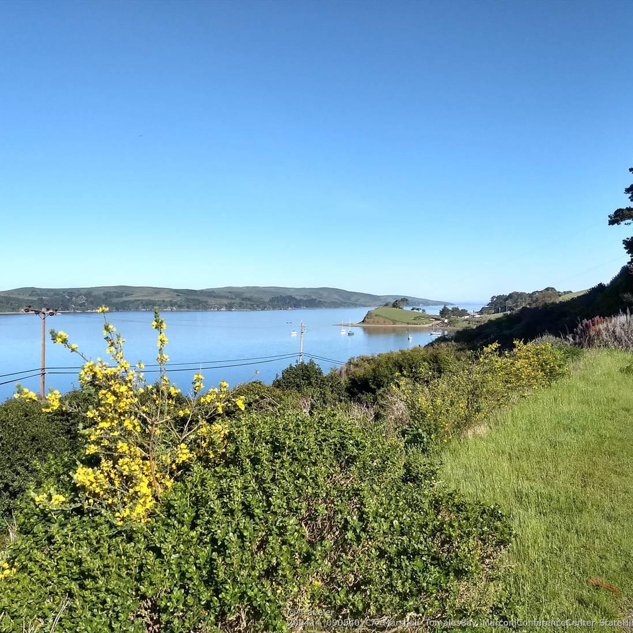
Sweet single trails along the bay. The water in this cove is shallower and calmer than many other beaches in the area because it sits inside Tomales Bay, thus making it a bit warmer as well. Picnic tables and toilets are easily accessible near the trailhead.
0
0

Alan Sieroty Beach is located at Millerton Point along Tomales Bay and is a tranquil spot with calm, shallow waters. It was named after former California State Senator Alan Sieroty, an advocate for environmental conservation.
0
0

The water in this cove is shallower and calmer than many other beaches in the area because it sits inside Tomales Bay, thus making it a good spot to bring the kids. Picnic tables and toilets are easily accessible as well.
0
0
South end of the small community along the west side of Tomales Bay. There are a couple of great restaurants and a trail leading out to a beached ship.
0
0

This wreck has a funny story: It washed up on a sandbar more than 100 years ago. Its owner at that time wanted to make it a kind of landing place for tourists, even going so far as to lay rails so that a train could get to the boat. This never work but the wreck is still here.
0
0
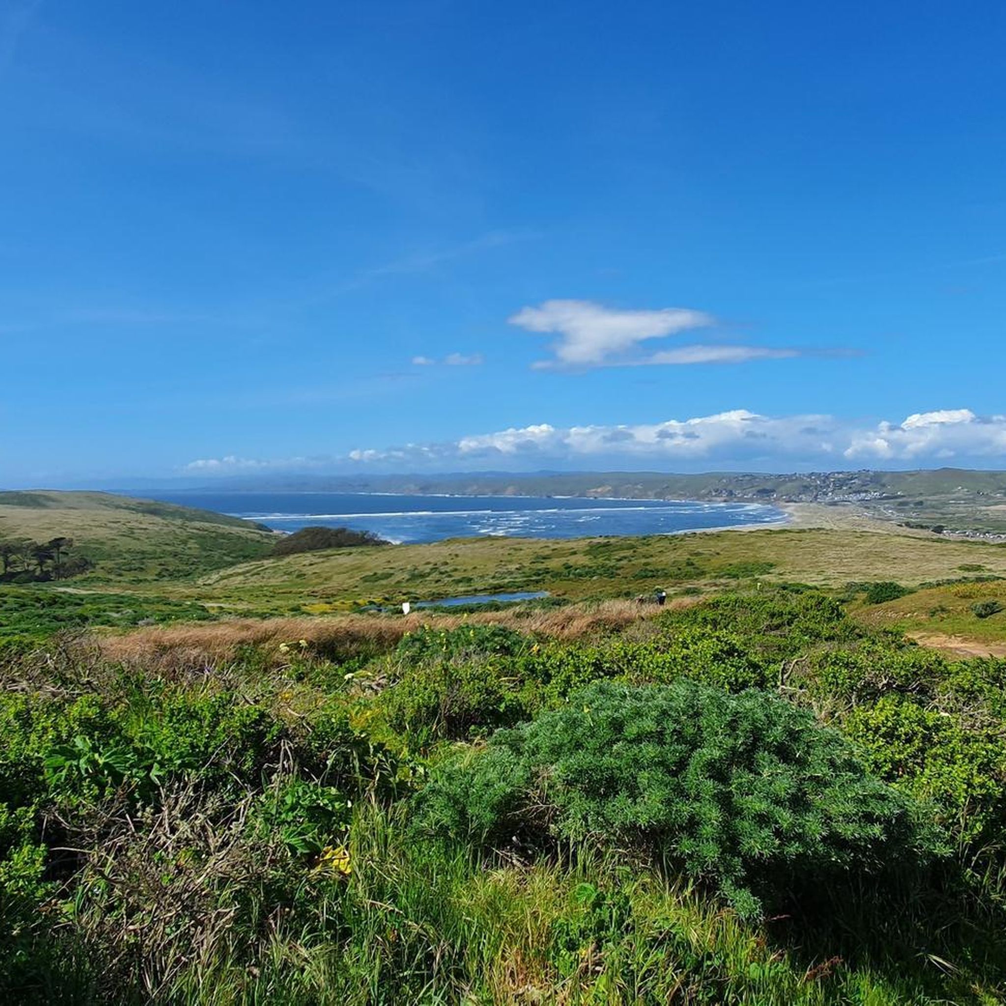
This first part of the hike takes you along a ridge that offers you views of Tomales Bay. Perhaps you would distinguish the cape of Point Reyes.
0
0
Paradise of a beach cove on Tomales Bay, reached by a 10 minute walk down a winding trail with a few steps at the end.
0
0
The wreck of the fishing boat S.S. Point Reyes lies abandoned and beached on a sand bank in Tomales Bay off the samall village of Inverness. The vessel was originally dragged aground by the land’s previous owner who had intended to fix the ship up. However, like many fixer-upper projects, he never actually got around to the repairs, leaving the boat, which still bears the name, “Point Reyes,” to decay on the shore. When the land was taken over by a wetlands restoration firm, the boat was an obvious target for removal. But thanks to the attention the local photographers and visitors gave the wreck, the company allowed it stay right where it was. Today there is a small sign and trail that leads to the picturesque wreck. It’s possible to actually get on the boat, but it is not advised since the wood is rotten and riddled with holes.
0
0
Frequently Asked Questions
Are dogs allowed on the trails in Tomales Bay State Park?
No, dogs are not permitted on the trails or beaches within Tomales Bay State Park. They are only allowed in paved areas such as roads and parking lots, and must be on a leash. For dog-friendly hiking, you may need to explore trails outside the state park boundaries.
What are some good, easy hikes for families with children?
The park offers several family-friendly options. The Indian Nature Trail is a short, educational loop through a shaded forest. For a walk with bay views that connects multiple beaches, the Shell Beach loop from Petaluma Center is an excellent choice, offering a gentle path with rewarding scenery.
Where can I find the best views in the park?
For expansive views of Tomales Bay and the surrounding landscape, the Inverness village – Inverness Ridge loop from Inverness is a great option. This route climbs along the Inverness Ridge, providing elevated perspectives that are particularly stunning on a clear day.
Is there a good trail for birdwatching?
Yes, the Millerton Point area on the eastern side of the bay is a prime location for birdwatching. The trails here are relatively flat and pass by stock ponds and the Giacomini Wetlands, which are teeming with shorebirds and waterfowl like great blue herons, egrets, and ospreys.
What should I know about parking at Tomales Bay State Park?
Parking is available at several key locations, including the main lot at Heart's Desire Beach, which serves as a starting point for many trails. There is typically a day-use fee for vehicles. Lots can fill up quickly, especially on weekends and holidays, so arriving early is recommended.
How many hiking trails are in Tomales Bay State Park?
There are over 50 hiking routes to explore in and around Tomales Bay State Park. The network includes everything from short, easy nature walks to more challenging routes with significant elevation gain, catering to a wide range of fitness levels.
What do other hikers enjoy most about Tomales Bay State Park?
The area is highly rated by the komoot community, with an average score of 4.9 stars. Reviewers frequently praise the park's unique combination of sheltered, calm beaches and lush, forested trails. The contrast between the bay shoreline and the dense Bishop pine forests is a commonly highlighted feature.
What kind of wildlife might I see while hiking?
The park's diverse habitats support a variety of wildlife. On the trails, it's common to see black-tailed deer, gray foxes, and raccoons. The bay itself is home to harbor seals and bat rays. Birdwatchers can spot over 160 species, making it a rich environment for wildlife viewing.
Are there any circular or loop hikes available?
Yes, the park has several excellent loop trails. The Jepson Memorial Grove Trail is a notable loop that takes you through one of the last remaining virgin groves of Bishop pine trees. It offers an immersive forest experience on a well-defined path.
What should I wear or bring for a hike in this area?
It's best to dress in layers. The weather can change quickly, with fog and wind possible even on sunny days. Sturdy hiking shoes are recommended as trails can be uneven. Also, bring plenty of water and snacks, as services within the park are limited. Some exposed trails, like those near Tomales Point, can have lots of insects, so bug spray is a good idea.
Where can I find a trail map for the park?
You can download a detailed official trail map to plan your visit. For the most current version, check the California Department of Parks and Recreation website. A PDF map is available here: Tomales Bay State Park Map.
What are some popular places to start a hike in the area?
Several trailheads are highly regarded by local hikers.
Tomales Bay State Park itself is the main hub, with access to trails leading to Heart's Desire Beach and Indian Beach. For those looking to explore the dramatic coastline further north, the Tomales Point Trailhead is a very popular starting point for spotting tule elk. The Tomales Bay Trailhead near Point Reyes Station offers a gentler walk with open views, perfect for a sunset stroll.
Most popular routes in Tomales Bay State Park
Most popular attractions in Tomales Bay State Park

Get inspired with the komoot mobile app


Explore more
Browse the best Hikes in other regions.
