The best cycling routes in Tomales Bay State Park
4.6
(12)
283
riders
30
rides
Touring cycling in Tomales Bay State Park and its surrounding area offers diverse landscapes along the eastern edge of the Point Reyes Peninsula. The region is characterized by sheltered coves, beaches, tidal marshes, and Bishop pine forests, with the San Andreas Fault running beneath Tomales Bay. While bicycles are prohibited on trails within Tomales Bay State Park itself, the broader Marin County area provides numerous touring cycling routes through rolling dairy farm country and along coastal sections of Highway 1, featuring cypress canopies and oyster farms. These routes often include varied terrain and elevation changes, providing a range of experiences for cyclists.
Best touring cycling routes in Tomales Bay State Park
- The most popular touring cycling route is Olema – Point Reyes Station loop from Point Reyes Station, a 35.4 miles (56.9 km) trail that takes 3 hours 28 minutes to complete. This route traverses rolling dairy farm country with scenic views.
- Another top favourite among local touring cyclists is Giacomini Wetlands lookout – Inverness Ridge loop from Point Reyes Station, a difficult 15.2 miles (24.4 km) path. This route offers views of the Giacomini Wetlands and climbs towards Inverness Ridge.
- Local touring cyclists also love the Sea Lion Overlook via Sir Francis Drake Blvd., a 38.9 miles (62.6 km) trail leading through coastal landscapes, often completed in about 4 hours 1 minute.
- Touring cycling in Tomales Bay State Park is defined by sheltered coves, Bishop pine forests, and coastal roads along Tomales Bay, offering routes for various ability levels.
- The routes in Tomales Bay State Park are highly rated by the komoot community with an average score of 4.5 stars from over 19 reviews. More than 300 touring cyclists have used komoot to explore Tomales Bay State Park's varied terrain.
Last updated: June 25, 2026
3.3
(3)
70
riders
115km
07:07
1,200m
1,200m
Hard bike ride. Very good fitness required. Mostly paved surfaces. Suitable for all skill levels.
14
riders
56.9km
03:28
510m
510m
Hard bike ride. Very good fitness required. Mostly paved surfaces. Suitable for all skill levels.

Sign up for free
17
riders
61.9km
04:00
800m
800m
Hard bike ride. Very good fitness required. Mostly paved surfaces. Suitable for all skill levels.
7
riders
23.8km
02:12
590m
590m
Hard bike ride. Very good fitness required. Mostly paved surfaces. Suitable for all skill levels.
4.5
(4)
54
riders
62.6km
04:02
800m
800m
Cycle 38.9 miles to Sea Lion Overlook via Sir Francis Drake Blvd. in Point Reyes National Seashore, a difficult ride with ocean views.
Get access to more routes and recommendations from other explorers.
Sign up for free
Already have an account?
Our route recommendations are based on thousands of hikes, rides, and runs completed by other people on komoot.
Start today with a free account
Your next adventure awaits.
Login or Signup
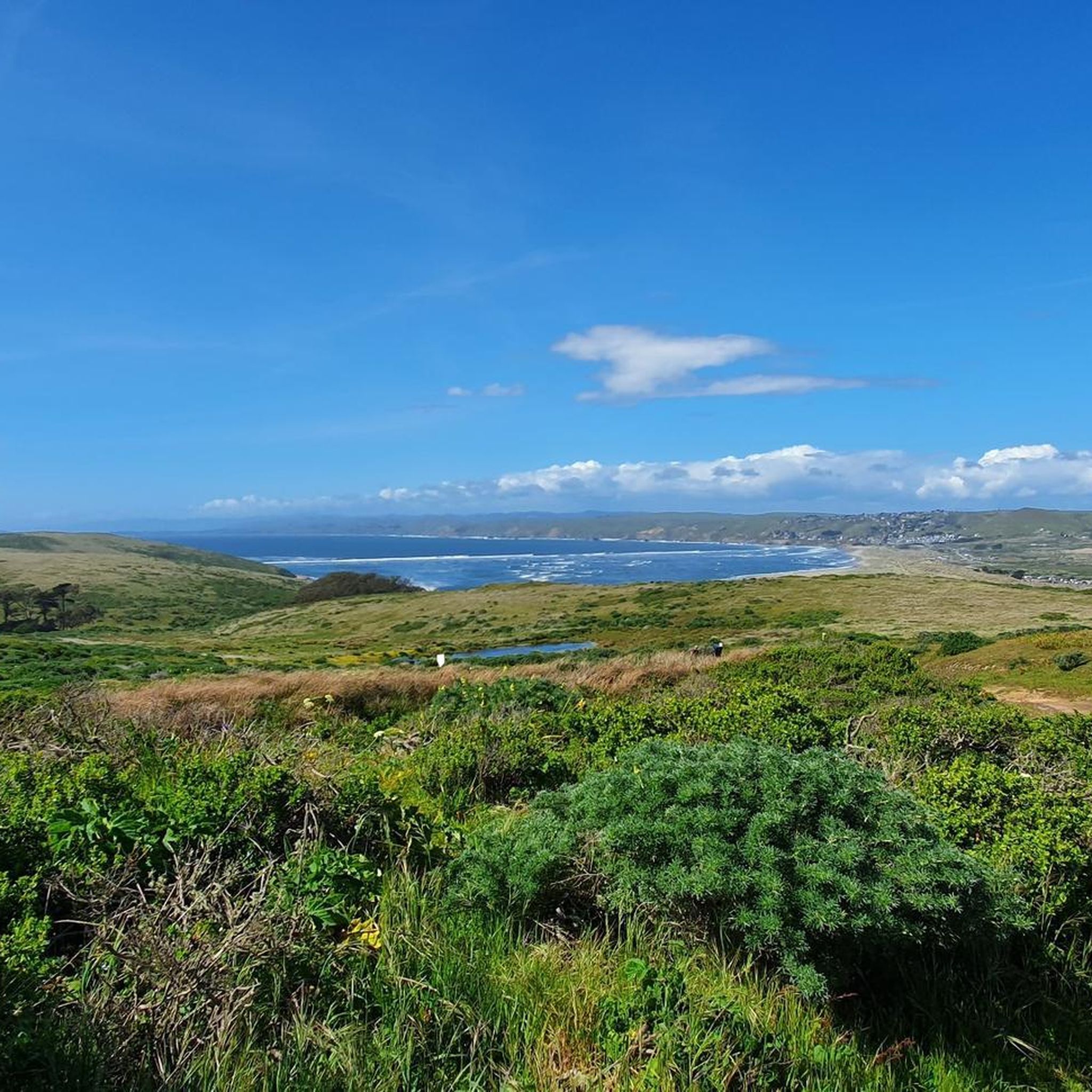
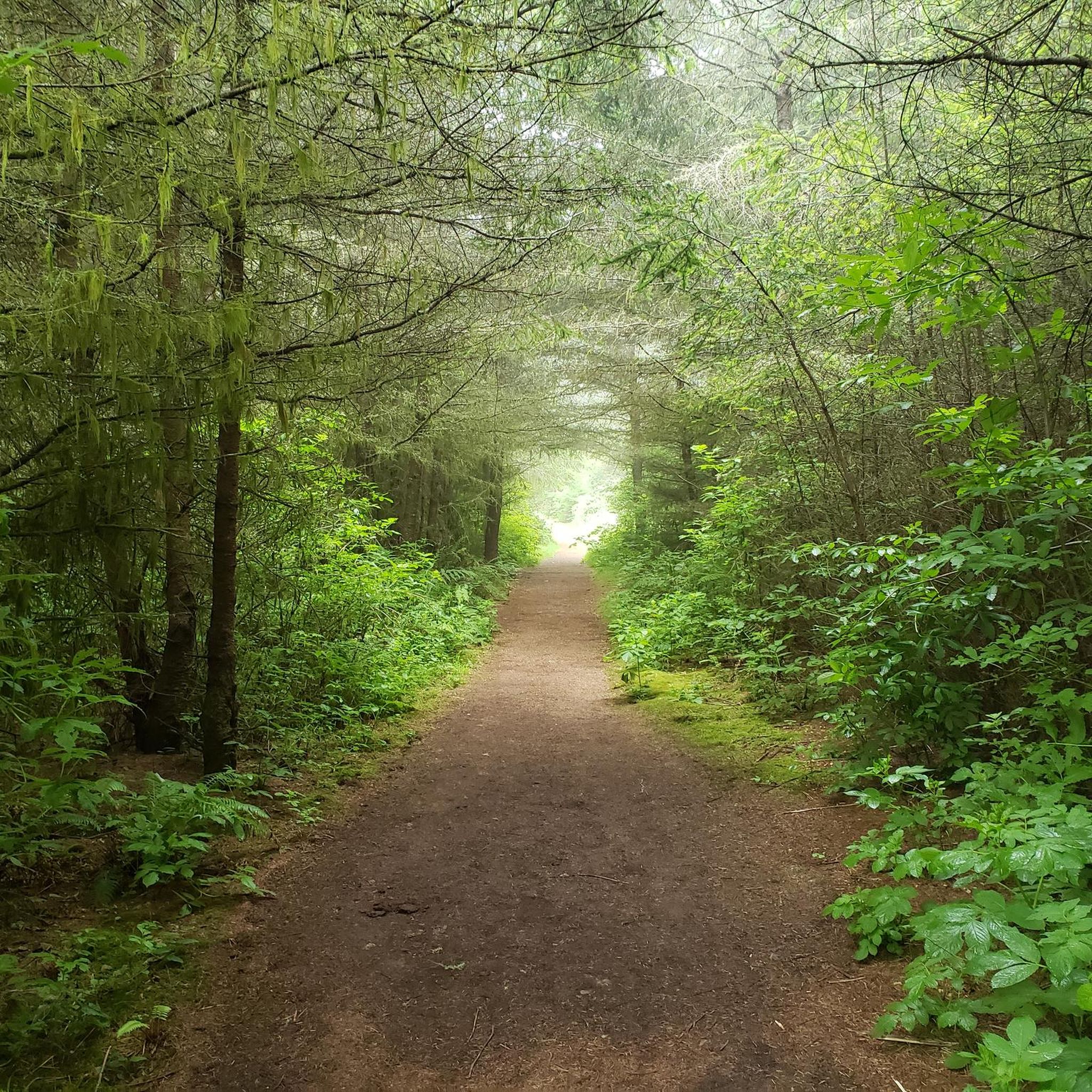
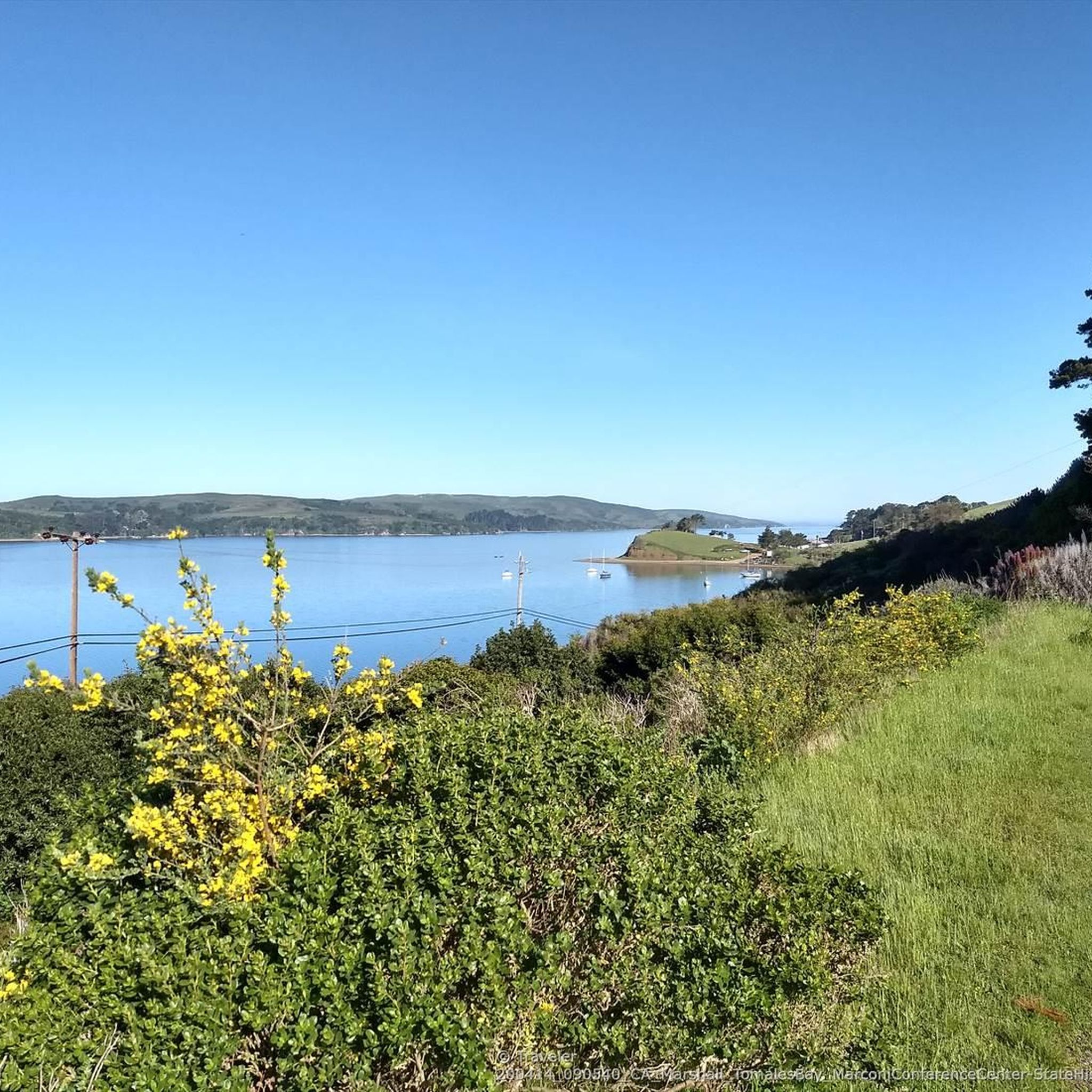
Tips from the Community

This is a good gravel bike ride. There is a little more road riding than I prefer but, drivers are bike aware and give you plenty of room. Most of it is paved and the single track segment can be done with a no suspension gravel bike. Cellular reception is limited and so are the audible directions from Komoot.
0
0

Outdoor biergarten, fresh oysters, historic displays, to go sales in a historic building
0
0

Tomales Bay Ecological Reserve is a protected area in Marin County known for its diverse coastal habitats, including tidal marshes and mudflats. The area is home to a wide range of bird and marine life. It's a popular destination for birdwatching, especially during migratory seasons.
0
0


Actually not a pool, just an access to Lagunitas Creek, but the little park with the handsome wooden bridge has a pretty trail along the water, with a couple of good places to get into the water to swim or bathe in sweet water before it mixes with the salt water in Tomales Bay. Parking area with restroom and bench.
0
1
Second highest point on the Mt Vision ridge rd with sweeping views
0
0
Frequently Asked Questions
Are bicycles allowed on trails within Tomales Bay State Park?
No, bicycles are prohibited on all trails within Tomales Bay State Park itself. Similarly, the Tomales Bay Trail, managed by Point Reyes National Seashore, also does not permit bicycles. However, the broader Marin County area surrounding the park offers excellent touring cycling opportunities on roads.
What kind of terrain can I expect on touring cycling routes near Tomales Bay State Park?
The touring cycling routes in the area offer diverse terrain. You'll find rolling dairy farm country, coastal sections along Highway 1 with cypress canopies and oyster farms, and routes that climb towards features like Inverness Ridge. Expect varied terrain and elevation changes, providing a range of experiences.
What are some notable natural features or landmarks I might see while cycling in the Tomales Bay area?
While cycling on roads outside the immediate state park trails, you can experience the unique geological setting created by the San Andreas Fault running beneath Tomales Bay. You might also see Bishop pine forests, including the Jepson Memorial Grove, and pass by sheltered coves and beaches like Shell Beach or Alan Sieroty Beach. The restored Giacomini Wetlands are also a significant ecological feature in the vicinity.
Are there any loop routes for touring cyclists in the Tomales Bay area?
Yes, many of the touring cycling routes in the area are loops. For example, the Olema – Point Reyes Station loop from Point Reyes Station takes you through rolling dairy farm country. Another option is the Giacomini Wetlands lookout – Inverness Ridge loop from Point Reyes Station, which offers scenic views and climbs.
What is the best time of year to go touring cycling near Tomales Bay State Park?
The roads in this region are celebrated for their quality and offer some of the best cycling experiences, particularly in late winter or spring when the hills are vibrantly green. The weather is generally pleasant, making it an ideal time to explore the diverse landscapes.
What is the general difficulty level of touring cycling routes in the Tomales Bay area?
The routes around Tomales Bay State Park cater to various ability levels. Out of approximately 30 touring cycling routes available, about two-thirds are considered difficult, while a smaller number are moderate or easy. This means you can find challenging rides with significant elevation gain, as well as more relaxed options.
What do other touring cyclists think about the routes in Tomales Bay State Park and the surrounding area?
The touring cycling routes in the Tomales Bay area are highly rated by the komoot community, with an average score of 4.5 stars from over 19 reviews. More than 300 touring cyclists have used komoot to explore the varied terrain, often praising the scenic coastal roads and the unique natural environment.
Are there any places to eat or get refreshments along the cycling routes?
Yes, you'll find options for refreshments. The coastal stretches feature quaint oyster farms, such as the Tomales Bay Oyster Company, which can be a great stop. Point Reyes Station, a common starting point for many routes, also offers various amenities.
What kind of wildlife might I encounter while cycling in the Tomales Bay region?
The diverse habitats support abundant wildlife. You might spot numerous species of land and sea birds, including blue herons, cormorants, osprey, and egrets. Land animals such as foxes, raccoons, deer, and bobcats also inhabit the area, particularly in less trafficked sections.
Are there any family-friendly touring cycling routes in the Tomales Bay area?
While many routes are rated difficult, there are a few easier options available that could be suitable for families. For instance, the Point Reyes Station – Tomales Bay Oyster Company loop from Point Reyes Station is a moderate route that might be more accessible for a family outing, offering a pleasant ride with a destination.
Where can I find parking for touring cycling routes in the Tomales Bay area?
Many touring cycling routes in the area, such as those starting from Point Reyes Station, offer convenient parking options. It's advisable to check specific route details on komoot for recommended starting points and parking availability.
Can I bring my dog on touring cycling routes near Tomales Bay State Park?
While dogs are generally welcome in many outdoor areas, specific rules apply. Within Tomales Bay State Park, dogs are typically restricted to paved roads and campgrounds and must be on a leash. When cycling on public roads outside the park, standard leash laws and local regulations apply. Always check the specific rules for any area you plan to visit with your dog.
Most popular routes in Tomales Bay State Park
Most popular attractions in Tomales Bay State Park

Get inspired with the komoot mobile app


Explore more
Browse the best Cycling routes in other regions.
