The best walks and hikes in Haute-Savoie
4.5
(37138)
401,775
hikers
6,051
hikes
Hiking in Haute-Savoie offers a diverse landscape characterized by majestic mountain ranges, including the Mont Blanc massif, and numerous crystal-clear lakes such as Lake Annecy and Lake Geneva. The region features verdant valleys, dense forests, and dramatic gorges, providing varied terrain for exploration. Glaciers are also present, particularly in the higher elevations of the Mont Blanc area. This geography makes Haute-Savoie a prime destination for outdoor activities, with over 5,100 km of footpaths.
Best hiking trails in Haute-Savoie
- The most popular hiking route is The Aulp chalet and the Forclaz pass via Montmin — Loop, a 7.6 miles (12.3 km) trail that takes 4 hours 22 minutes to complete. This moderate path offers panoramic views of Lake Annecy and the surrounding peaks.
- Another top favourite among local hikers is Lac Blanc and Lacs des Chéserys Loop, a difficult 10.3 miles (16.6 km) path. This challenging route provides spectacular vistas of the Mont Blanc massif and its glaciers, leading to the iconic Lac Blanc.
- Local hikers also love the The trou de la Mouche - Chaîne des Aravis - Loop, a 6.0 miles (9.7 km) trail leading through the rugged Chaîne des Aravis, often completed in about 4 hours 21 minutes.
- Hiking in Haute-Savoie is defined by majestic mountain ranges, crystal-clear alpine lakes, and verdant valleys. The extensive network of routes offers options for different ability levels, from leisurely strolls to challenging high-altitude climbs.
- The routes in Haute-Savoie are highly rated by the komoot community with an average score of 4.5 stars from over 31,000 reviews. More than 360,000 hikers have used komoot to explore Haute-Savoie's varied terrain.
Last updated: August 17, 2026
4.7
(591)
2,908
hikers
12.3km
04:22
550m
550m
Moderate hike. Good fitness required. Mostly accessible paths. Sure-footedness required.
4.9
(151)
1,806
hikers
16.6km
07:54
1,180m
1,190m
Hard hike. Very good fitness required. Sure-footedness, sturdy shoes and alpine experience required.

Sign up for free
4.8
(83)
1,157
hikers
16.8km
07:57
1,200m
1,200m
Hard hike. Very good fitness required. Sure-footedness, sturdy shoes and alpine experience required.
4.8
(204)
2,067
hikers
9.72km
04:22
930m
930m
Hard hike. Very good fitness required. Easily-accessible paths. Suitable for all skill levels.
4.7
(136)
1,256
hikers
13.5km
05:41
900m
900m
Hard hike. Very good fitness required. Mostly accessible paths. Sure-footedness required.
4.8
(47)
782
hikers
19.8km
08:07
1,730m
1,730m
Hard hike. Very good fitness required. Mostly accessible paths. Sure-footedness required.
4.6
(101)
402
hikers
15.2km
04:38
540m
540m
Moderate hike. Good fitness required. Mostly accessible paths. Sure-footedness required.
4.6
(119)
665
hikers
8.88km
03:42
530m
520m
Moderate hike. Good fitness required. Mostly accessible paths. Sure-footedness required.
4.8
(46)
471
hikers
12.7km
07:05
1,260m
1,270m
Hard hike. Very good fitness required. Mostly accessible paths. Sure-footedness required.
4.8
(76)
532
hikers
11.0km
05:40
1,040m
1,040m
Hard hike. Very good fitness required. Sure-footedness, sturdy shoes and alpine experience required.
Get access to more routes and recommendations from other explorers.
Sign up for free
Already have an account?
Our route recommendations are based on thousands of hikes, rides, and runs completed by other people on komoot.
Start today with a free account
Your next adventure awaits.
Login or Signup
Popular around Haute-Savoie
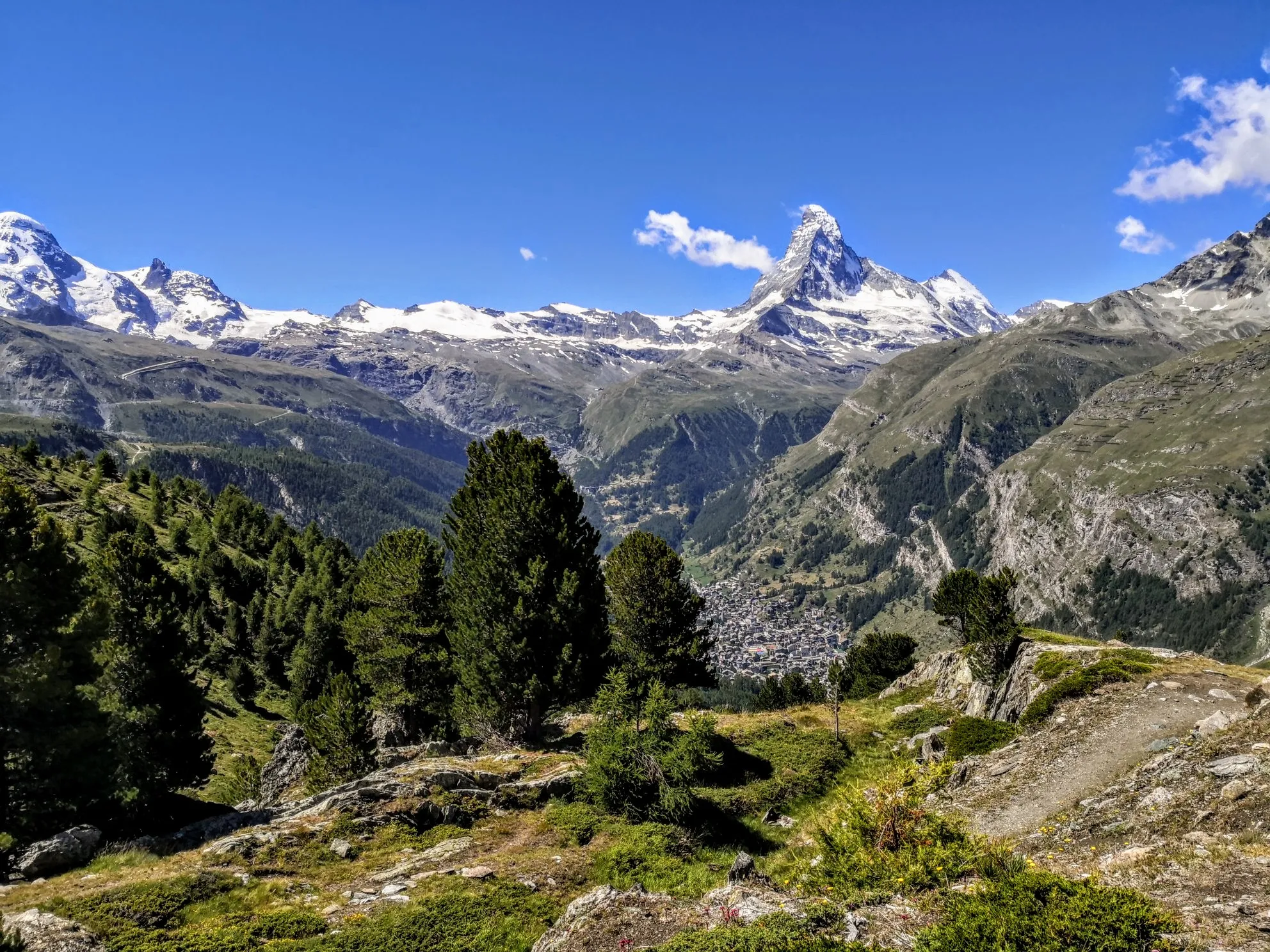
Walker's Haute Route – The ultimate alpine adventure
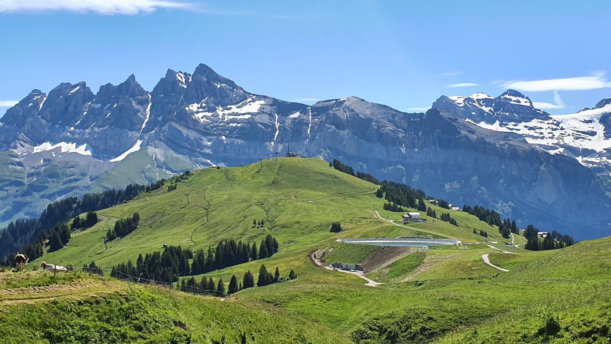
Europe Trail (GR 5) – Hike from Landry to Thonon-les-Bains
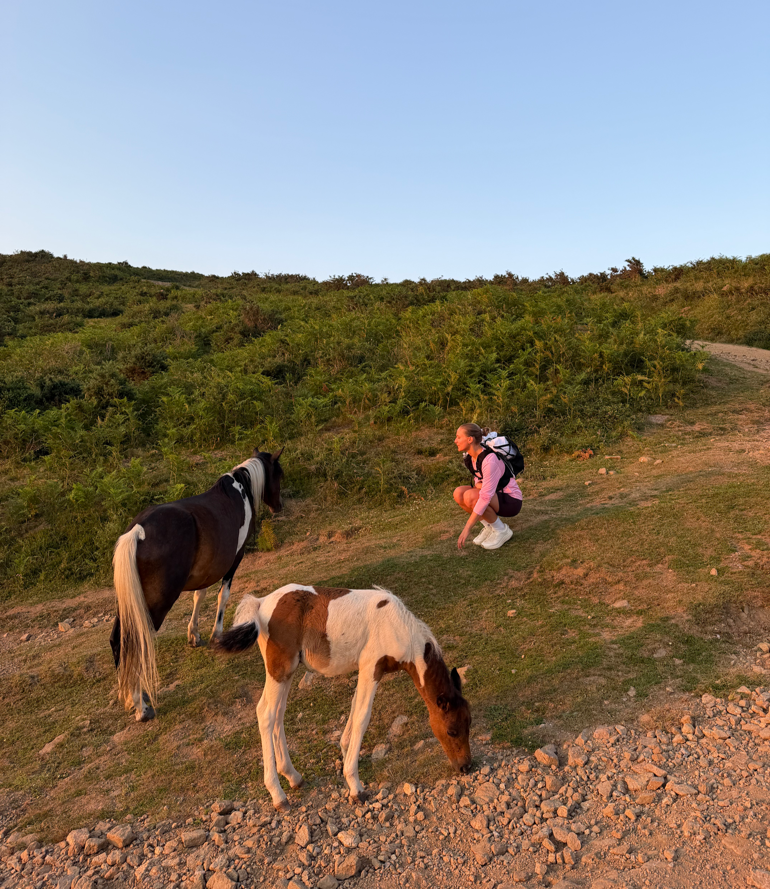
France’s Best Sunrise & Sunset Hikes

Tarmac, trails and flow – Europe's best road to trail runs
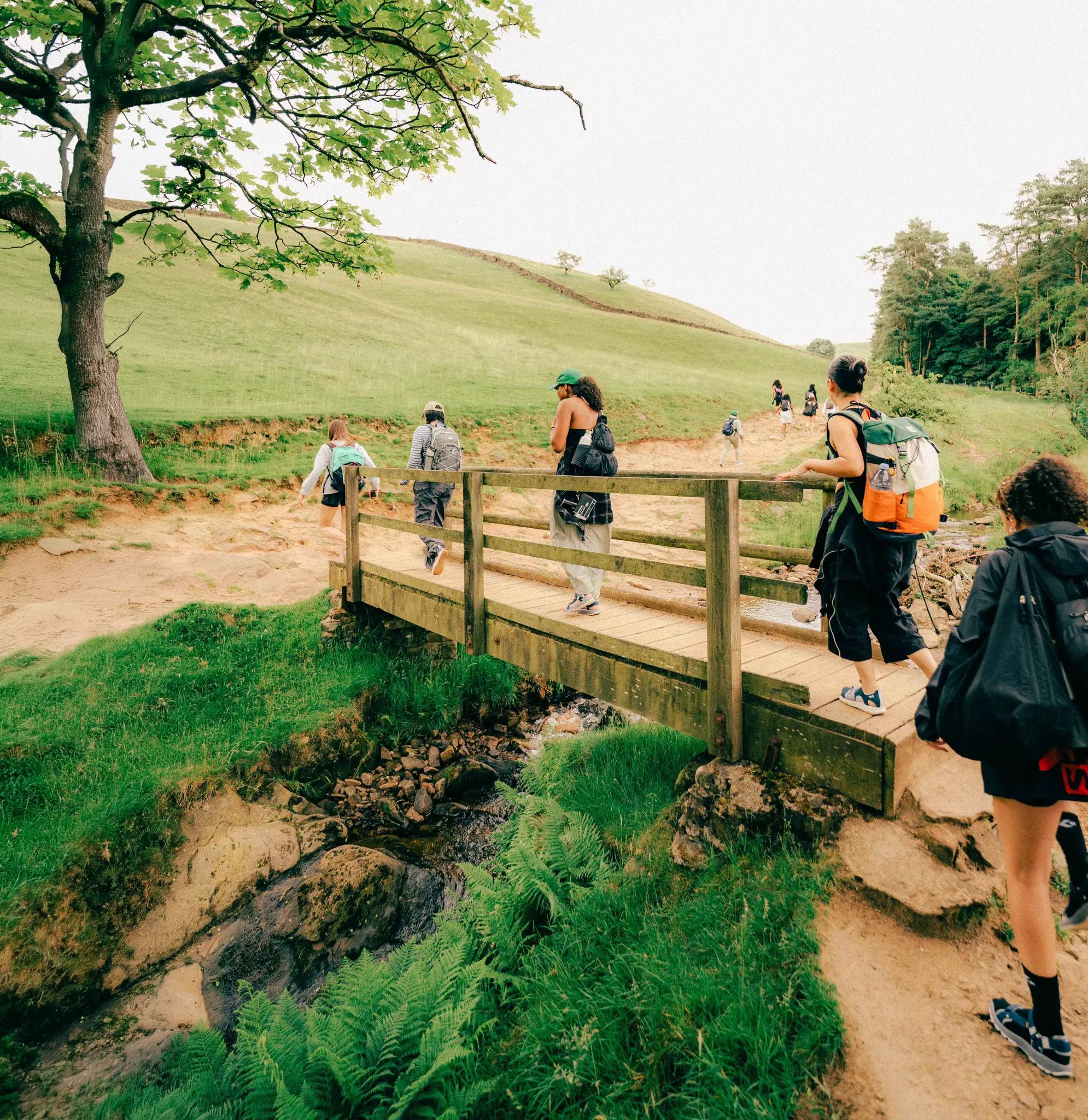
Scenic Trails to Natural Swimming Spots
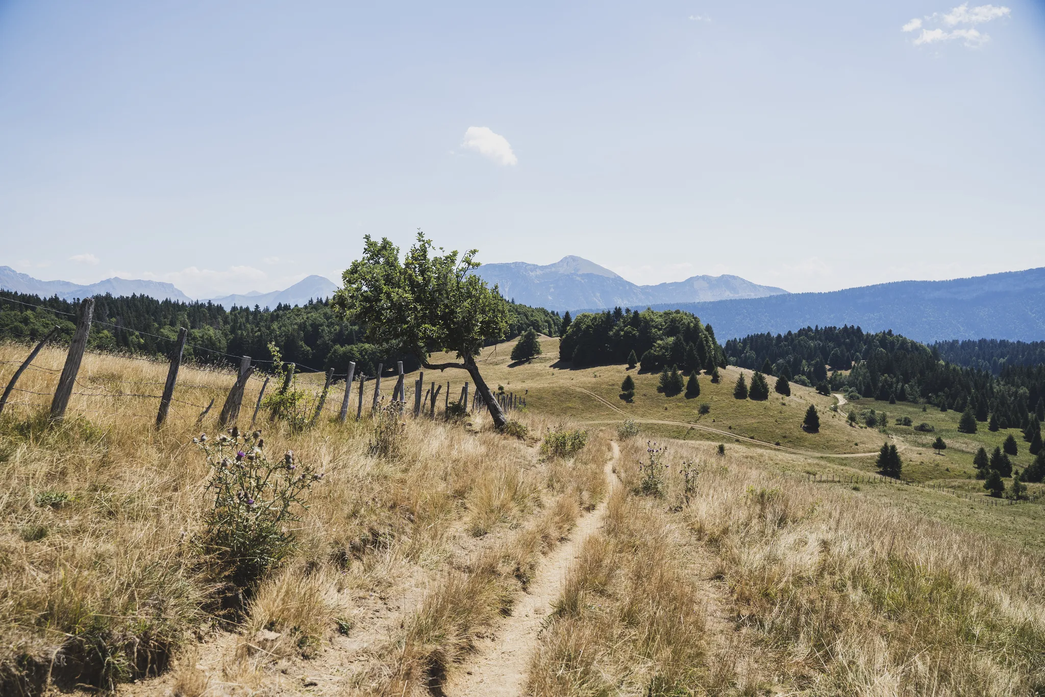
Chambéry to Annecy – crossing the Bauges in the French Alps

Hiking to the summits – France's highest points
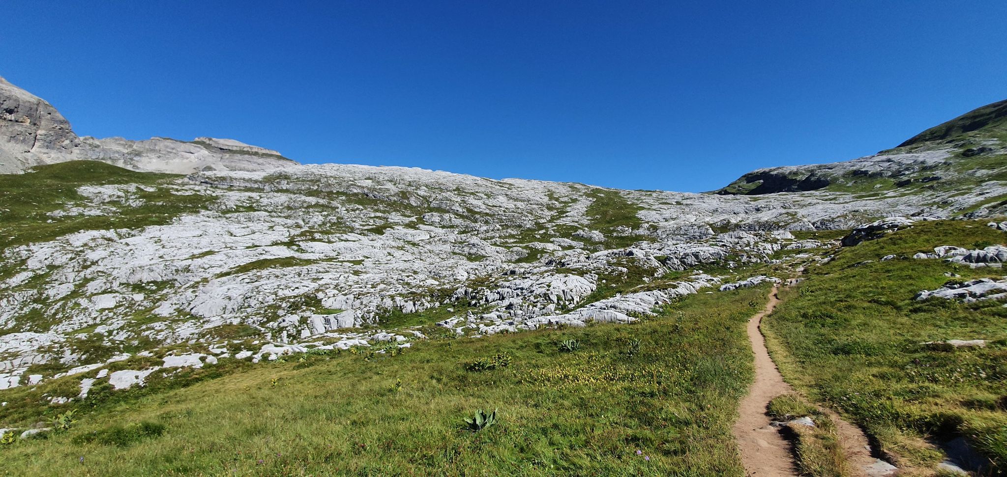
Hiking in the heart of nature reserves – Le Tour des Fiz

Hike from Savoie to Vanoise – Hexatrek in France’s Northern Alps

High mountain escapades — 15 peaks over 3,000m in the Alps
Other adventures in Haute-Savoie


Tips from the Community

If you are ascending this col, don't worry about the car wrecks on the side of the road. They probably crashed during the descend.
0
0

The refuge no longer exists, we were ripped off, but otherwise a very pretty hike
0
0


In view of the sacred wayside shrine here, looking out over the lake in an exposed position, a cross on which the Son of God Jesus Christ completed his personal Way of the Cross to Golgotha out of love for us humans and, even in death, promised the repentant sinner at his side access to paradise, I would like to briefly quote Saint Bernard of Clairvaux: 'One does not enter the Garden of Paradise with one's feet, but with one's heart.'
0
0

Superb view, an exclusive spot after a beautiful, rather sporty climb. The ascent is (in my opinion) more gradual and pleasant from the Tardevant side. The last few tens of meters on either side of the Trou de la Mouche are very "technical" and reserved for rather sporty hikers.
0
0

Attention, at the beginning of June there was still half a meter of snow and the paths were snow-covered - which makes the steep descent very dangerous without appropriate equipment! Many were dressed lightly and unprepared. Outside of the high summer months, this is more of an alpine mission than a difficult hike.
0
0

Still as beautiful as ever, but beware of the exposed and dizzying passage
0
0
A panoramic view of Lake Annecy, the Tournette mountain, and the alpine pastures. A mountain pass that can mark the summit of a hike, with a refreshment stand just steps away for a lunch break on sunny days.
0
0
Frequently Asked Questions
How many hiking trails are available in Haute-Savoie?
Haute-Savoie offers an extensive network of hiking trails, with over 5,800 routes recorded on komoot. These paths cater to a wide range of abilities, from leisurely strolls to challenging high-altitude climbs, covering over 5,105km of footpaths across the region.
What is the best time of year for hiking in Haute-Savoie?
The ideal time for hiking in Haute-Savoie is generally from late May to late September. July and August offer longer sunny days and most mountain huts are open. During peak summer, it's advisable to start hikes early in the morning to avoid the midday heat.
What natural features or landmarks can I expect to see while hiking in Haute-Savoie?
Haute-Savoie is rich in natural beauty. You can expect to encounter majestic mountain ranges like the Mont Blanc massif, crystal-clear lakes such as Lake Annecy and Lac Blanc, verdant valleys, dense forests, and dramatic gorges. The region also features impressive waterfalls, including the Angon waterfall and the Rouget waterfall, and glaciers, particularly in the Mont Blanc area.
Are there any easy hiking trails suitable for beginners or families in Haute-Savoie?
Yes, Haute-Savoie has over 1,500 easy hiking routes. While specific family-friendly routes vary, many trails around the lakes or in lower valleys offer gentle gradients. For example, the areas around Lake Annecy provide numerous accessible paths suitable for a relaxed day out.
Where can I find challenging hikes for experienced trekkers in Haute-Savoie?
For experienced hikers seeking a challenge, Haute-Savoie offers over 1,200 difficult routes. Trails like Lac Blanc and Lacs des Chéserys Loop or The trou de la Mouche - Chaîne des Aravis - Loop provide significant elevation gains and rugged terrain, often with spectacular views of the Mont Blanc massif or the Aravis mountain range.
Are there circular hiking routes available in Haute-Savoie?
Many of the hiking routes in Haute-Savoie are designed as loops, allowing you to start and finish at the same point. An example is The Aulp chalet and the Forclaz pass via Montmin — Loop, which offers panoramic views of Lake Annecy.
Can I bring my dog on the hiking trails in Haute-Savoie?
Generally, dogs are permitted on hiking trails in Haute-Savoie, especially outside of protected national park areas. It is always recommended to keep your dog on a leash, especially in areas with livestock or wildlife, and to check local regulations for specific trails or nature reserves before you go.
Are there hikes that feature waterfalls in Haute-Savoie?
Yes, Haute-Savoie is home to several impressive waterfalls. The Cirque du Fer-à-Cheval, a massive horseshoe-shaped natural amphitheater, is surrounded by numerous waterfalls. Other notable waterfalls include the Angon waterfall and the Rouget waterfall, often called the 'Queen of the Alps,' which can be rewarding destinations for hikers.
What kind of terrain and elevation changes should I expect on hikes in Haute-Savoie?
Haute-Savoie's terrain is incredibly diverse. You can expect everything from gentle paths through verdant valleys and shaded forests to challenging ascents over rocky ridges and high-altitude alpine environments. Elevation changes can vary significantly, from moderate climbs of a few hundred meters to strenuous routes with over a thousand meters of ascent, especially in the Mont Blanc massif.
What do other hikers appreciate most about the trails in Haute-Savoie?
The trails in Haute-Savoie are highly rated by the komoot community, with an average score of 4.5 stars from over 31,000 reviews. Hikers frequently praise the breathtaking panoramic views of the Mont Blanc massif and pristine lakes, the diverse landscapes, and the well-maintained network of paths that cater to all skill levels.
How accessible are the trailheads by public transport or car in Haute-Savoie?
Many trailheads in Haute-Savoie are accessible by car, with parking often available, though it can be limited during peak season. While public transport options exist for larger towns, reaching specific, more remote trailheads might require a car. Geneva Airport is a major gateway, and car rentals are widely available to facilitate access to the region's extensive trail network.
Are there any hikes that offer views of Mont Blanc?
Absolutely. The Mont Blanc massif dominates the landscape, and many trails offer spectacular views of Western Europe's highest peak. For instance, Facing Mont Blanc – 4,808 metres (15,774 ft): highest point in France provides direct views, and the Lac Blanc and Lacs des Chéserys Loop is renowned for its panoramic vistas of the massif and its glaciers.
Most popular routes in Haute-Savoie
Most popular attractions in Haute-Savoie

Get inspired with the komoot mobile app


Explore more
Browse the best Hikes in other regions.
