The 18 Most Amazing Peaks around Oberstadtfeld
Best mountain peaks around Oberstadtfeld are found in Germany's volcanic Eifel region, characterized by prominent volcanic cones and elevated viewpoints. These heights offer picturesque landscapes and panoramic views of the surrounding Vulkaneifel. The area is known for its hilly terrain, dense forests, and meadows, providing diverse natural settings for exploration.
Best mountain peaks around Oberstadtfeld
- The most popular mountain peaks is Freudenkoppe Castle Ruins, a castle ruin located on a 610 meter high basalt cone. King John of Bohemia…
Last updated: August 11, 2026
Dronke Tower on the Mäuseberg
Highlight • Viewpoint
Translated by Google •
Tip by

View of Gerolstein from the Munterley
Highlight • Viewpoint
Translated by Google •
Tip by

Sign up now to discover places like this
Get recommendations on the best single tracks, peaks, & plenty of other exciting outdoor places.
Sign up for free
Maarkreuz Schalkenmehren
Highlight • Viewpoint
Translated by Google •
Tip by

Millstone Cave at Nerother Kopf
Highlight • Cave
The millstone cave consists of lava boards and is an artificial cave in the Vulkaneifel, Rhineland-Palatinate. It was created by the production of …
Translated by Google •
Tip by

Windsborn Crater summit
Highlight • Viewpoint
Translated by Google •
Tip by

Sign up for free to discover even more peaks around Oberstadtfeld.
Sign up for free
Already have an account?
Start today with a free account
Your next adventure awaits.
Login or Signup
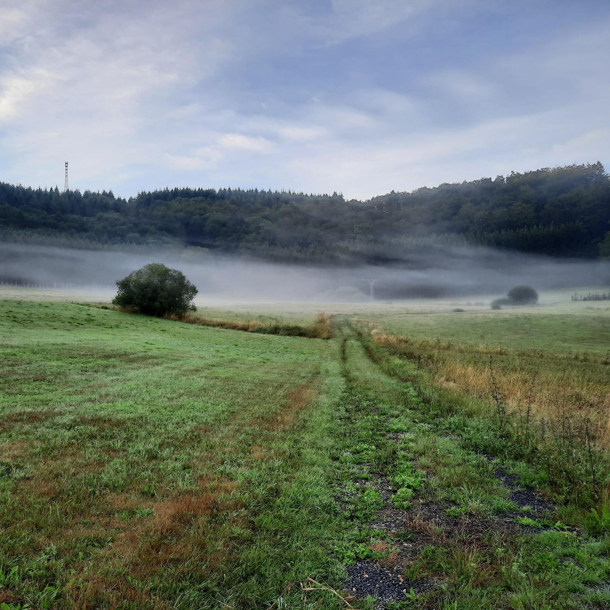
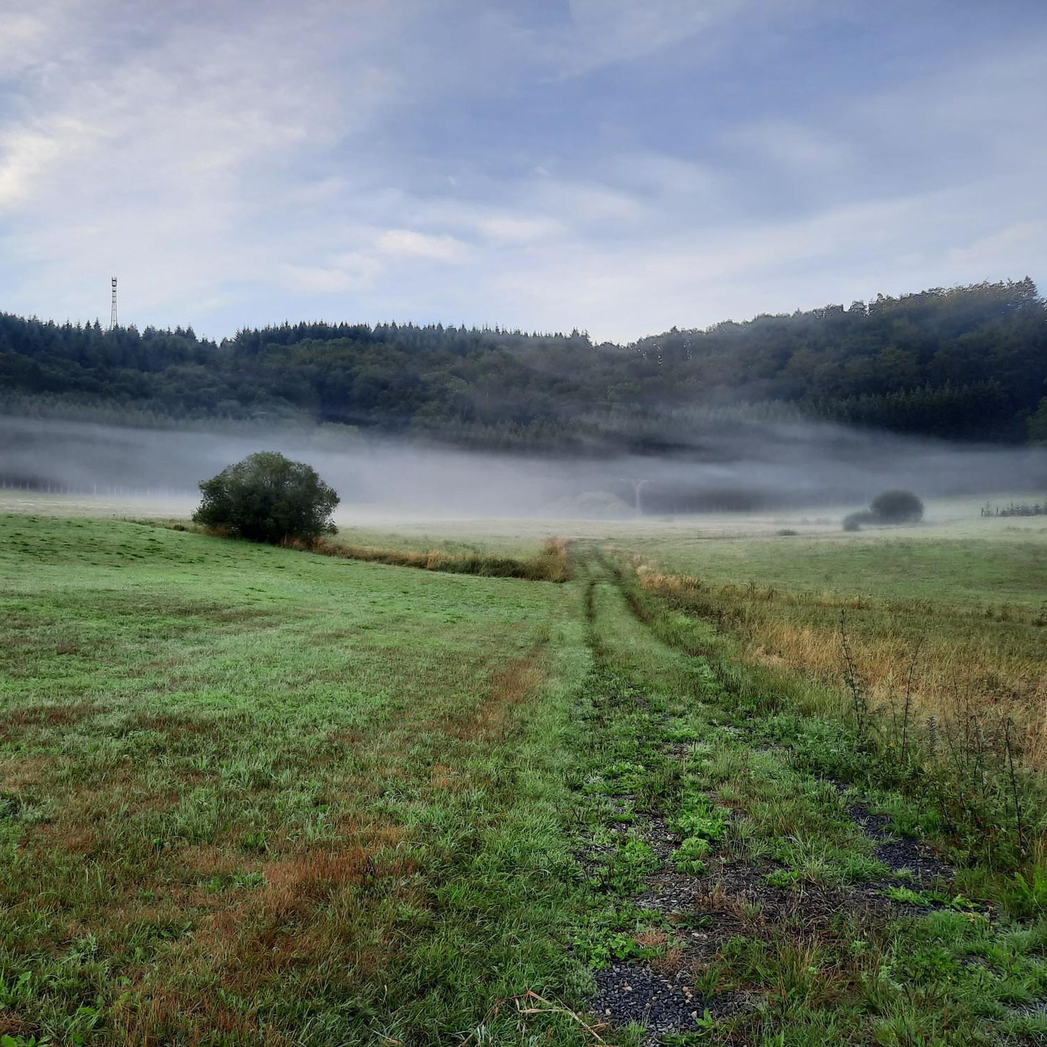
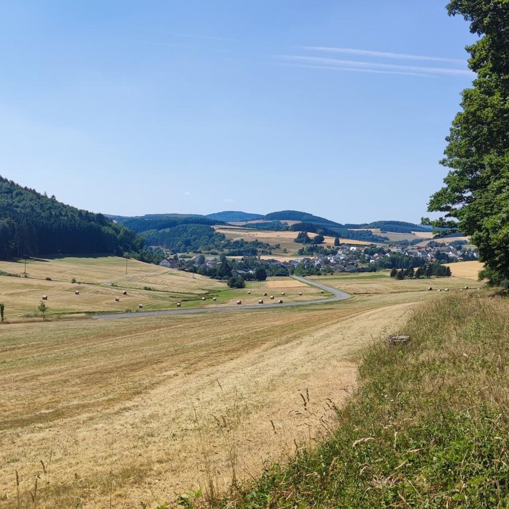
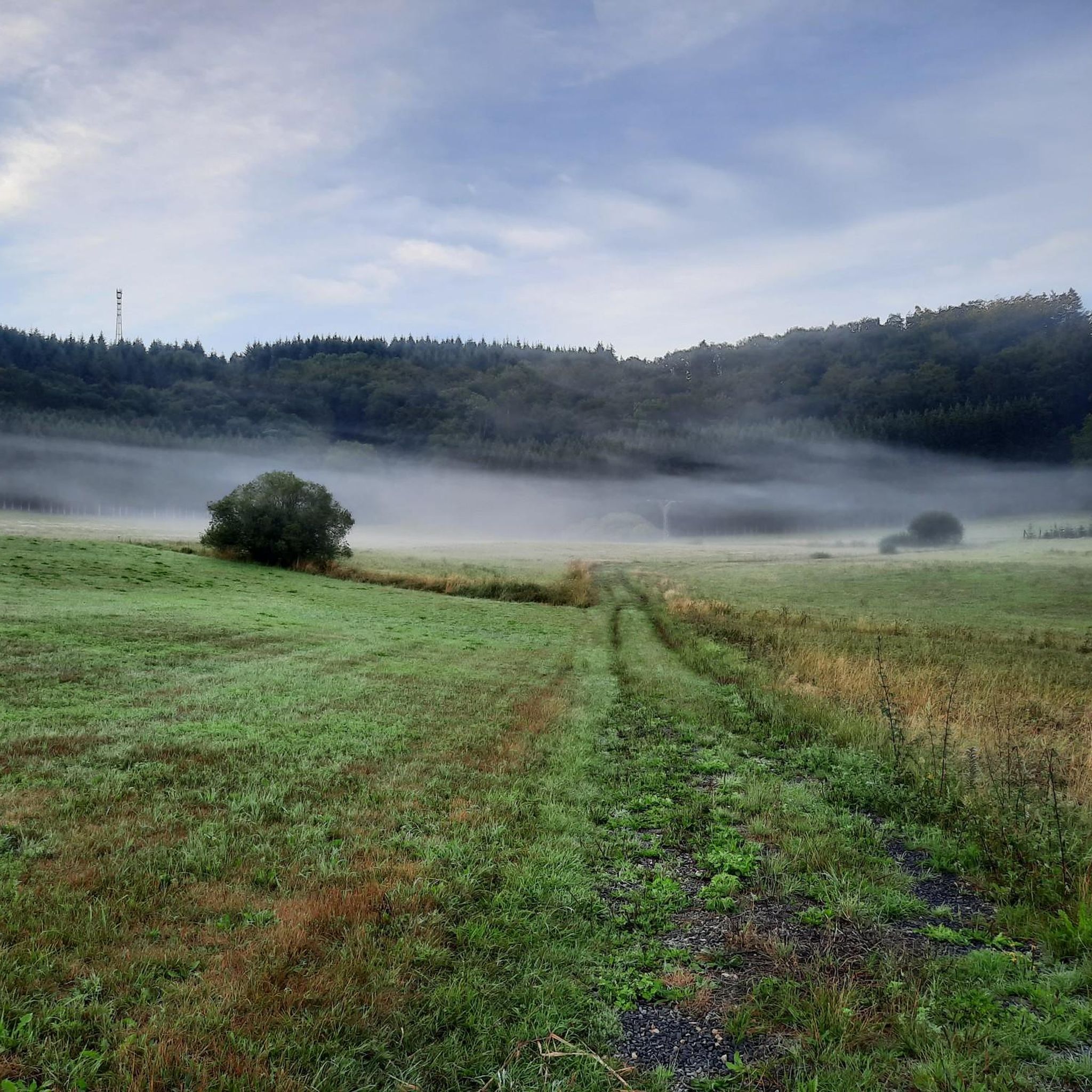
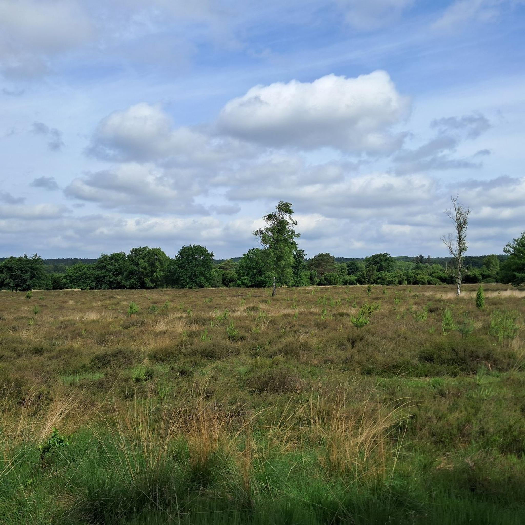
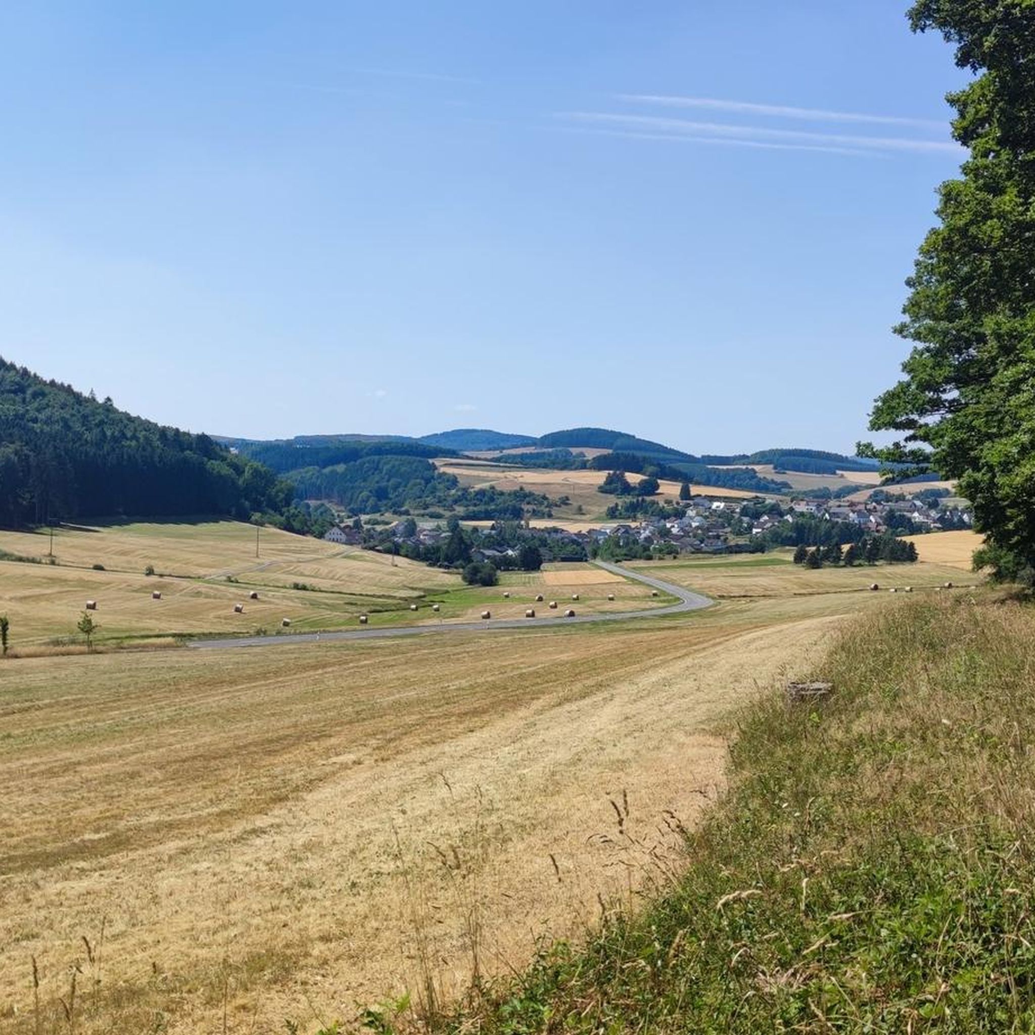
Tips from the Community

You just have to go up to this summit cross, it's a pity that there is no summit book.
4
0

Nice view with markers for orientation. The tower, which was built in 1902, is only 11m high, but stands on top of the 560m high Mauseberg and is thus 166m above the Gemünder Maar, guaranteeing a magnificent view of the surrounding area.
14
0
Beautiful view with an information board for orientation. The tower, built in 1902, is only eleven meters high, but stands at the top of the 560-meter-high Mäuseberg and is thus 166 meters above the Gemünder Maar. This guarantees a magnificent view over the surrounding area.
19
1
Very nice place and viewing point at the Maarkreuz above the Schalkenmehrener Maar. With its inscription "You are called the Maar Cross, for the salvation of us and this country. Emergency year 1932", the cross commemorates severe thunderstorms and the resulting damage and crop failures.
12
0

"With an area of approx. 102 hectares, the area around the Gerolsteiner Dolomites has been a nature reserve since 1990. + occurring animal species: bat + occurring plant species: juniper, orchids, character plants calcareous grassland, grove rush-beech forest, woodruff-beech forest, orchid-limestone-beech forest Around 380 million years ago there was a warm, subtropical shallow sea here, in which mighty reefs of stromatopores - relatives of sponges - and corals formed. After the dolomitization, sinking and folding of the rocks, the Devonian deposits were lifted out again. Today's Gerolsteiner Dolomites were formed, which rise steeply above the Kylltal north of the center of Gerolstein. The rocks "Hustley", "Munterley", "Drohende Ley", "Große Kanzel" and "Auberg" characterize the cityscape from afar and form the landmark of Gerolstein. The most famous summit of the Gerolsteiner Dolomites is the "Munterley" - with a height of 482 meters - and offers a breathtaking view over Gerolstein, the Kylltal and far into the Vulkaneifel. Stone Age people, who settled here 30,000 years ago, obviously enjoyed this view, as evidenced by stone tools and bones found at the nearby Buchenloch Cave. Visiting the Gerolsteiner Dolomites can be perfectly combined with hiking the Felsenpfad - the northern part of the "Gerolsteiner Dolomiten Acht". The almost eight-kilometer round tour offers many magical places and geological traces." https://www.eifel.info/a-gerolsteiner-dolomites
10
0

The Nerother Kopf is an extinct volcano of recent date. It was formed about 15,000 years ago when the earth broke up here and glowing magma welled up from the depths of the earth. At that time, a fracture zone formed in the earth rock, which formed the origin of the volcanic chain "West Eifel". https://www.neroth.de/tourismus/nerother-kopf
6
0
The Millstone Cave is located at the summit of the Neroth Head, a wooded hill of volcanic origin east of Neroth. The entrance is just below the Freudenkoppe castle ruins at an altitude of about 640 m and can be reached via a hiking trail. The cave is 18 meters deep and its vault up to 10 meters high. It is walkable, but unlit (torch required). Wikipedia
5
0

Millstones were mined in the 18 meter deep cave at the top of the Nerother Kopf until the 18th century. The lava stone was not only mined for the production of millstones, but was also used to build the immediately adjacent Freudenkoppe Castle.
5
0
Frequently Asked Questions
What historical sites can I explore on the mountain peaks near Oberstadtfeld?
You can visit the Freudenkoppe Castle Ruins on Nerother Kopf, a 610-meter high basalt cone. This castle was built around 1340 by King John of Bohemia. Also on Nerother Kopf is the Millstone Cave, an artificial cave created by the production of millstones from volcanic rock, and where the "Nerother Wandervogel" youth movement was founded.
Which peaks offer the best panoramic views of the Eifel landscape?
For impressive panoramic views, climb the observation tower on **Dietzenley** (618 meters), which offers sweeping vistas across the Eifel. The Dronke Tower on the Mäuseberg (561.2 meters) also provides excellent views, including direct sight of the Gemündener Maar. Additionally, the View of Gerolstein from the Munterley offers a fantastic perspective over Gerolstein and the Kylltal.
Are there any unique natural phenomena to see on the peaks around Oberstadtfeld?
Yes, you can visit the Windsborn Crater summit, which features one of the few volcanic crater lakes north of the Alps. This almost circular lake is completely surrounded by a 20-30 meter high rampart. From higher elevations, you can often spot other maars (volcanic lakes) like the Weinfelder Maar and Gemündener Maar.
What kind of hiking trails can I find around the peaks near Oberstadtfeld?
The region offers a variety of hiking trails, from well-maintained forest paths to steeper climbs. Trails around peaks like Nerother Kopf can be challenging, while others offer moderate routes. Many local circular hiking routes provide opportunities to explore the diverse Eifel landscape. For more detailed hiking options, check out the Mountain Hikes around Oberstadtfeld guide.
Are there family-friendly options for exploring the peaks?
While some ascents can be steep, many areas around the peaks feature well-maintained paths suitable for families. Viewpoints like the View of Gerolstein from the Munterley are considered family-friendly. Look for local circular routes that offer easier terrain and benches for resting.
Can I go mountain biking or gravel biking near the peaks?
Absolutely. The area around Oberstadtfeld is popular for cycling. You can find challenging mountain bike trails, such as those leading up to the Dronke Tower on the Mäuseberg. There are also numerous routes for gravel biking. Explore options in the MTB Trails around Oberstadtfeld and Gravel biking around Oberstadtfeld guides.
What is the best time of year to visit the mountain peaks near Oberstadtfeld?
The Eifel region is beautiful year-round. Spring and autumn offer pleasant temperatures for hiking and cycling, with vibrant foliage in autumn. Summer is ideal for longer days and outdoor activities. Even winter can be charming for hiking, though conditions may require appropriate gear.
What do visitors particularly enjoy about the peaks around Oberstadtfeld?
Visitors appreciate the stunning panoramic views, the unique volcanic landscape, and the rich history embedded in sites like the Freudenkoppe Castle Ruins and the Millstone Cave. The diverse hiking opportunities and the chance to explore natural monuments like the Windsborn Crater lake are also highly valued. The komoot community has shared over 2300 photos and given more than 3500 upvotes for these peaks.
Are there challenging hikes for experienced trekkers around Oberstadtfeld's peaks?
Yes, some paths leading to peaks like Nerother Kopf are described as steeper climbs. The region's hilly landscape and volcanic terrain provide opportunities for more demanding routes. You can find difficult-grade routes in the Mountain Hikes around Oberstadtfeld guide, such as the 'Keep of Oberburg Castle loop from Manderscheid'.
Can I bring my dog on the hiking trails around the Eifel mountains near Oberstadtfeld?
Generally, dogs are welcome on hiking trails in the Eifel region. However, it's always advisable to keep them on a leash, especially in nature reserves, near wildlife, or when passing through agricultural areas. Always be mindful of local regulations and other hikers.
What makes the Dietzenley peak a recommended viewpoint?
Dietzenley, at 618 meters, is a basalt plateau featuring an observation tower. Climbing this tower provides impressive panoramic views across the Eifel landscape, making it a highly recommended spot for scenic photography and enjoying the vastness of the region. It's also part of the 'Gerolsteiner Dolomiten-Acht' route, highlighting its importance.
Are there any peaks that are particularly good for spotting wildlife?
The dense forests and varied landscapes around peaks like Hardt and Nerother Kopf provide habitats for local wildlife. While specific spotting locations aren't guaranteed, quiet trails, especially during dawn or dusk, increase your chances of encountering deer, various bird species, and other forest animals typical of the Eifel region.
Most popular routes around Oberstadtfeld
Most popular attractions around Oberstadtfeld

Get inspired with the komoot mobile app


Explore more
See even more amazing summits around Oberstadtfeld with these guides:
