The best road cycling routes in the Westerwald
4.5
(6084)
73,263
riders
2,505
rides
Road cycling routes in the Westerwald traverse a low mountain range characterized by rolling hills, wide meadows, and extensive forests. The region features diverse terrain, including river valleys like the Lahn and Sieg, and basalt plateaus offering varied riding experiences. Cyclists can expect well-paved surfaces and routes with both significant elevation gains and more leisurely sections. This landscape provides a suitable environment for road cycling across different ability levels.
Best road cycling routes in the Westerwald
- The most popular road…
Last updated: October 8, 2026
4.6
(132)
1,238
riders
48.3km
02:09
400m
400m
Moderate road ride. Good fitness required. Mostly well-paved surfaces and easy to ride.
4.4
(72)
945
riders
99.9km
04:21
370m
370m
Moderate road ride. Good fitness required. Mostly well-paved surfaces and easy to ride.

4.6
(127)
872
riders
32.9km
01:23
190m
190m
Easy road ride. Great for any fitness level. Mostly well-paved surfaces and easy to ride.
4.6
(25)
598
riders
Moderate road ride. Good fitness required. Mostly well-paved surfaces and easy to ride.
4.5
(69)
793
riders
31.8km
01:23
120m
120m
Easy road ride. Great for any fitness level. Mostly well-paved surfaces and easy to ride.
4.6
(65)
632
riders
40.1km
01:45
270m
270m
Easy road ride. Great for any fitness level. Mostly well-paved surfaces and easy to ride.
4.4
(35)
446
riders
40.1km
02:12
690m
690m
Moderate road ride. Good fitness required. Mostly well-paved surfaces and easy to ride.
4.7
(25)
475
riders
105km
04:49
1,010m
1,010m
Hard road ride. Very good fitness required. Some segments of this route may be unpaved and difficult to ride.
4.7
(26)
615
riders
109km
04:54
1,020m
1,020m
Hard road ride. Very good fitness required. Mostly well-paved surfaces and easy to ride.
4.5
(15)
340
riders
Hard road ride. Very good fitness required. Mostly well-paved surfaces and easy to ride.
Get access to more routes and recommendations from other explorers.
Already have an account?
Our route recommendations are based on thousands of hikes, rides, and runs completed by other people on komoot.
Start today with a free account
Your next adventure awaits.
Popular around Westerwald
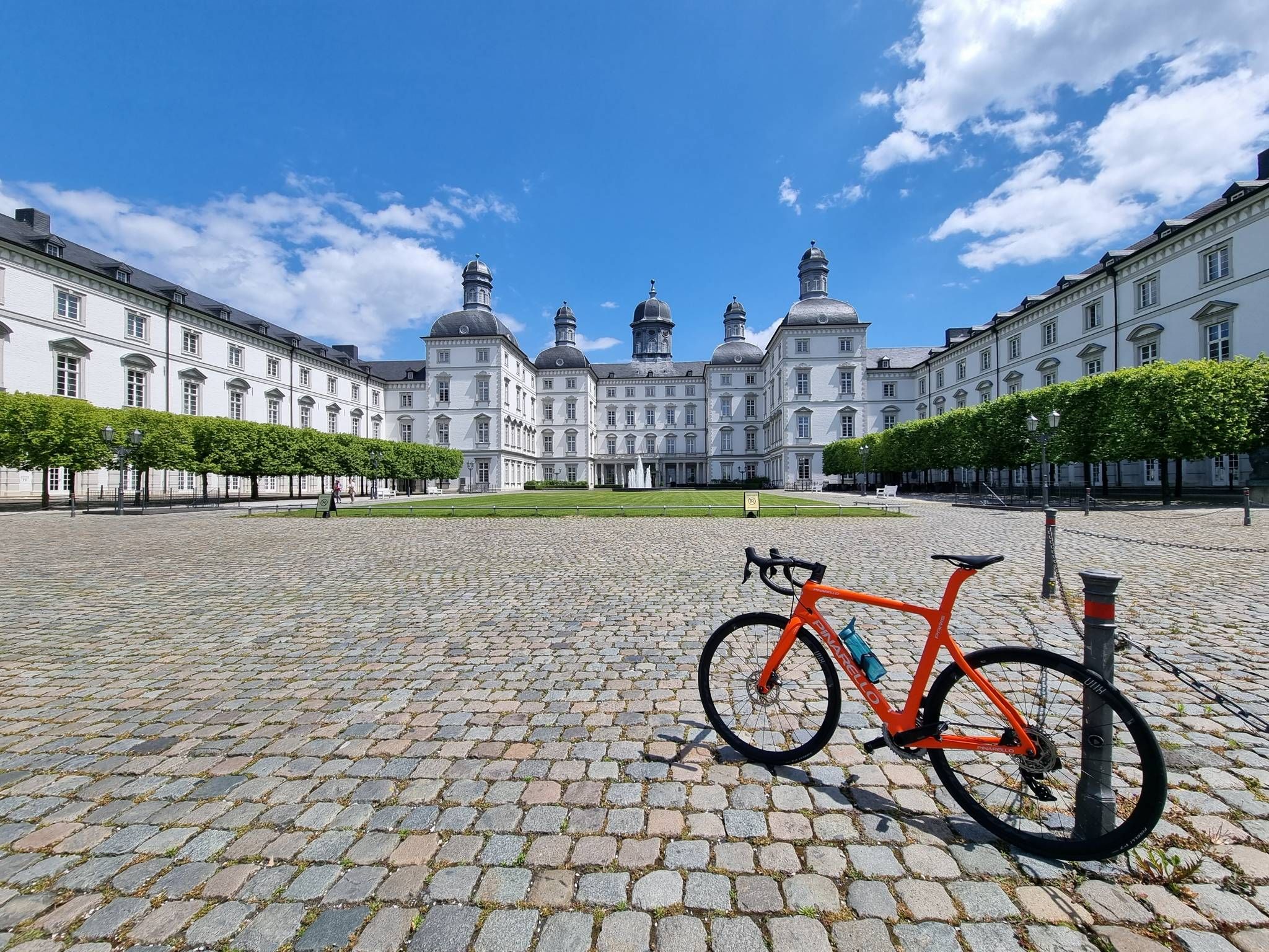
In two days from Düsseldorf to Frankfurt am Main
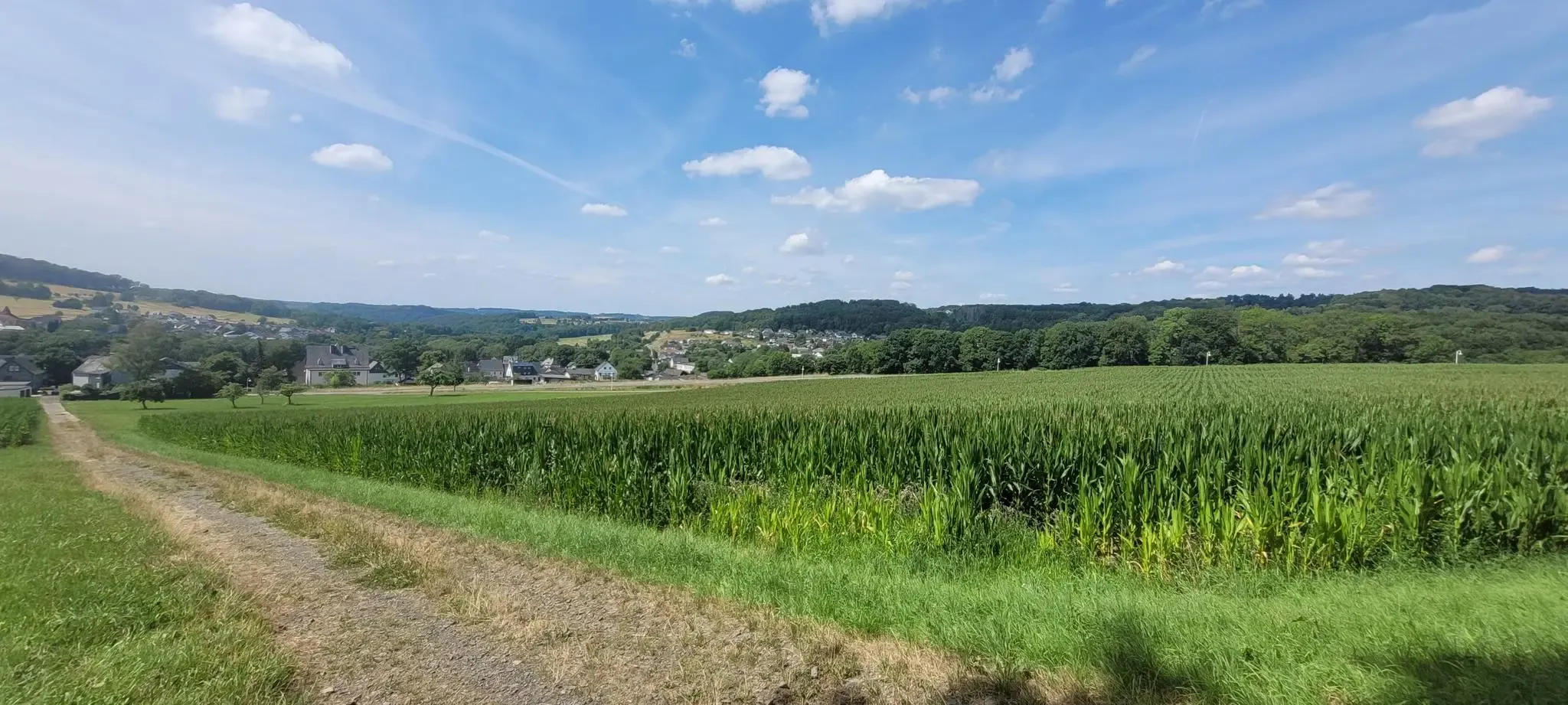
Hiking on the Cologne Trail – Discover nature close to the city
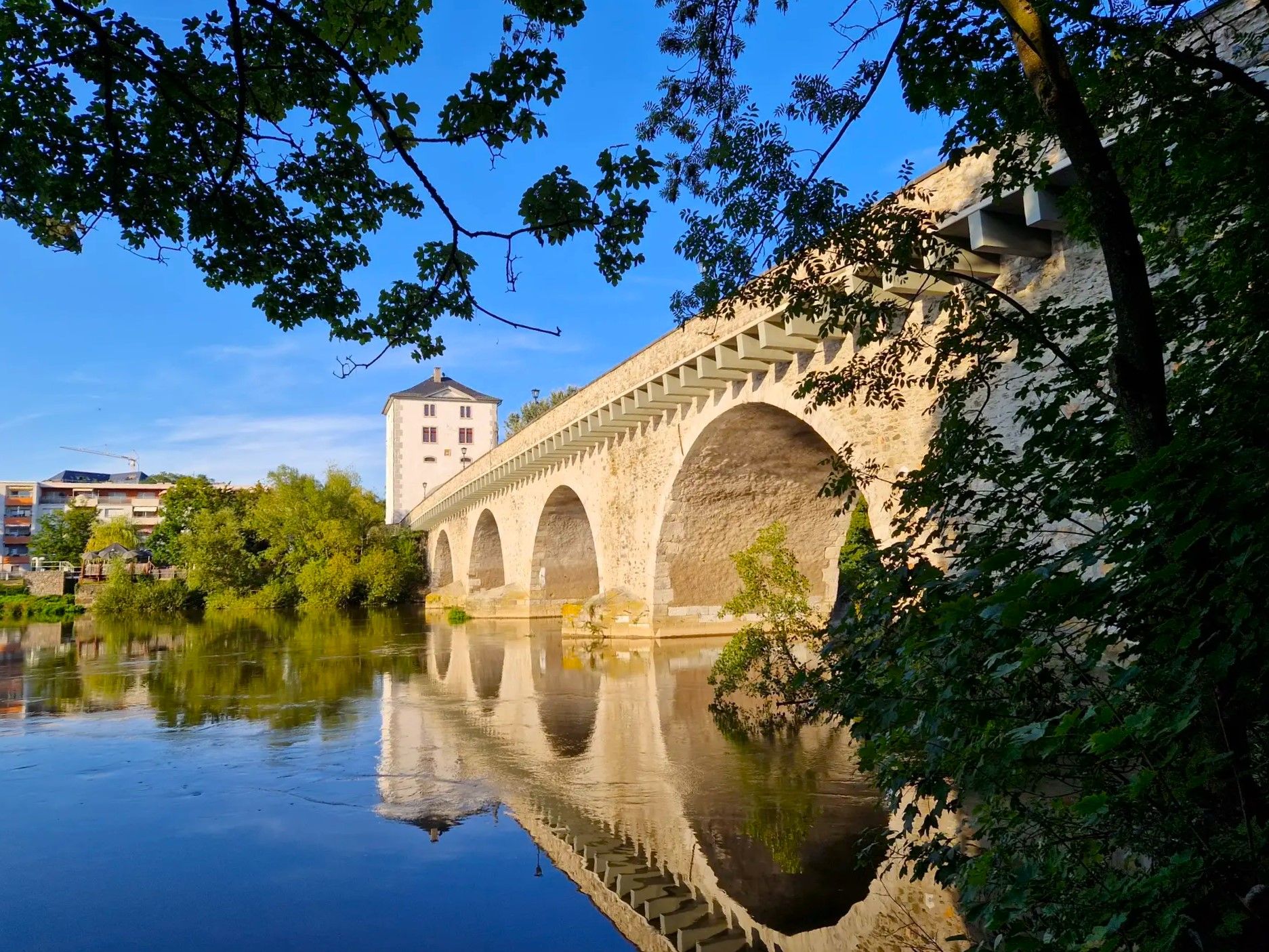
Lahnwanderweg Trail – The Lahn from its source to the estuary
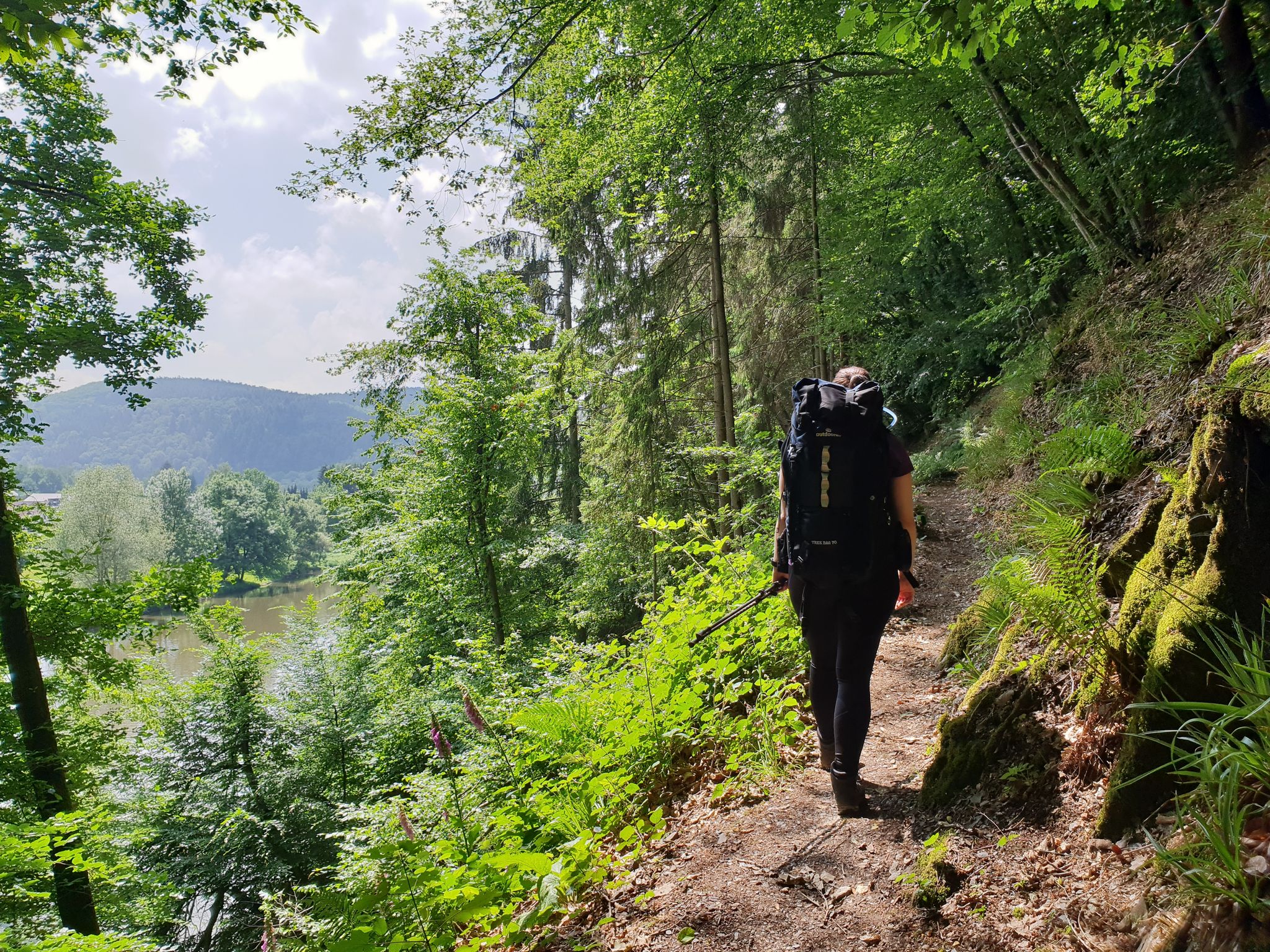
Sieg Nature Trail – Pure nature
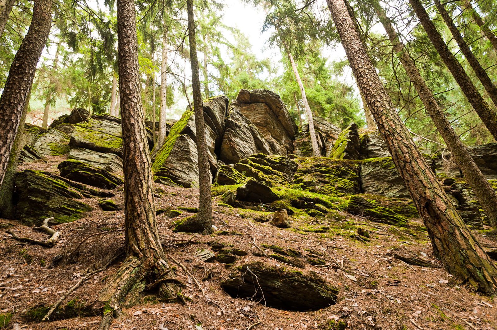
Lahn-Dill-Bergland-Pfad – Hiking trail
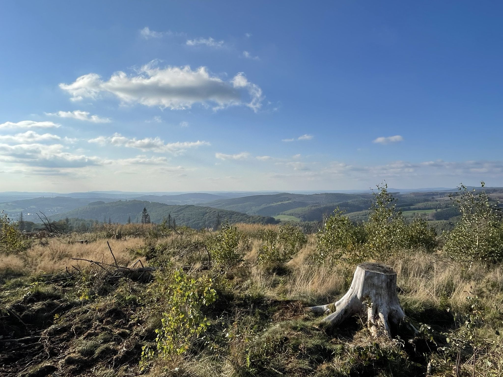
Siegerland-Höhenring – A classic in six stages
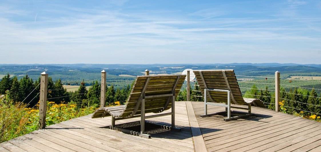
Siegerland-Höhenring – Discover a classic in 6 days
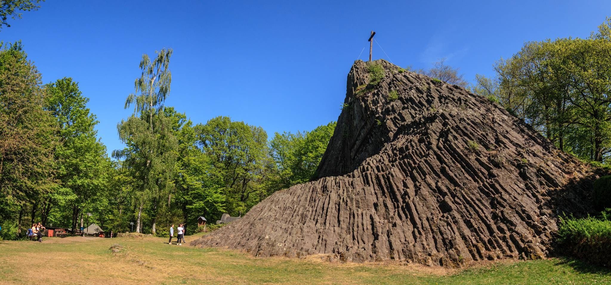
Hike Germany's Druid Trail – Legends, myths and mining

German Limes Cycle Path – Riding from the Rhine to the Danube
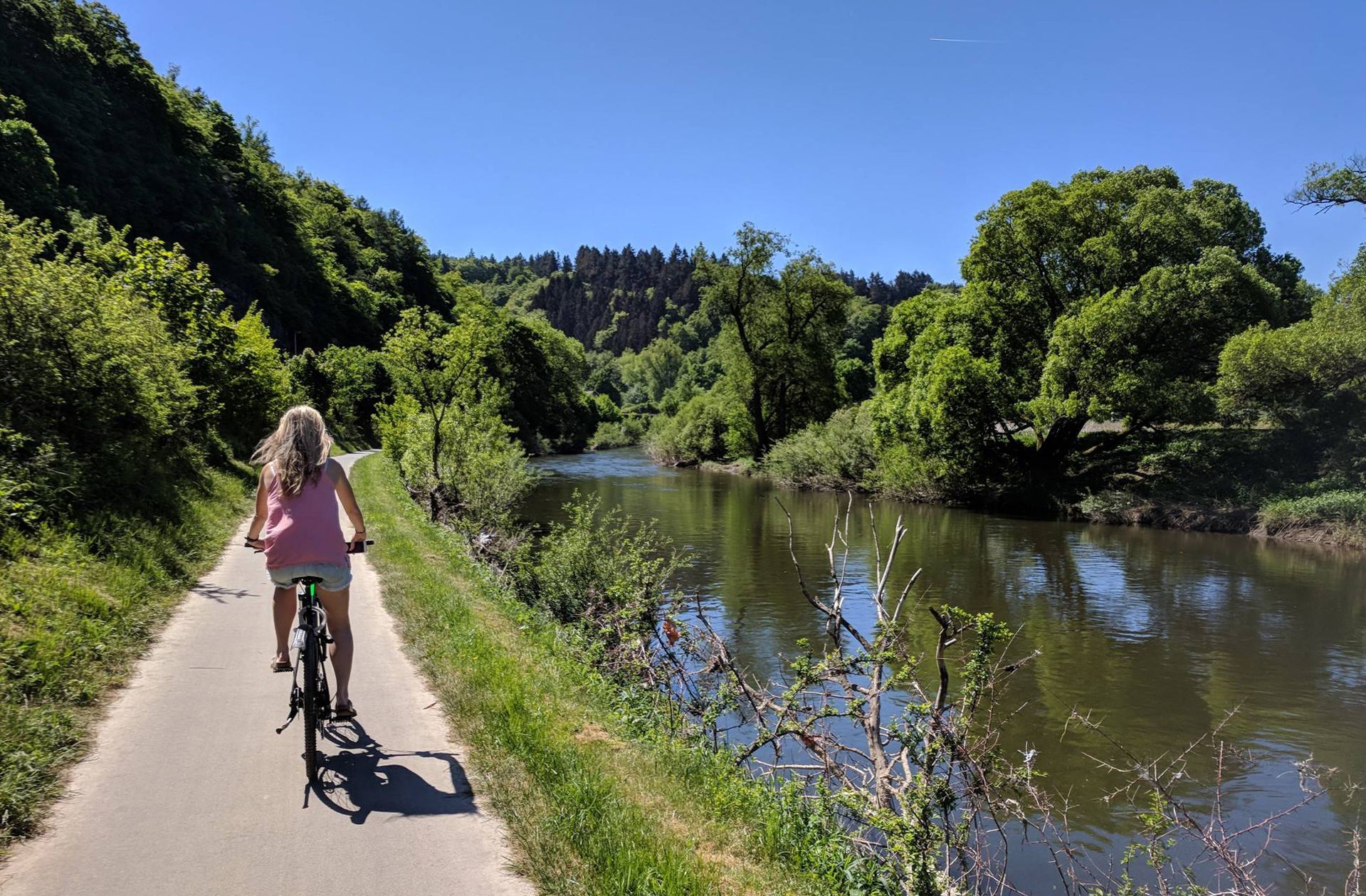
Lahn Cycle Path — from the Rothaar Mountains to the Rhine
Other adventures in the Westerwald


Tips from the Community

The green C is well marked in the region. Ground plates indicate direction and distance to objects, localities and the Rhine...
0
0

Beautiful cycle path along the Rhine
0
0


Here you look at the Siebengebirge from behind or from the side (from the north). Beautiful panoramic view!
0
0

One of the great wooden bridges of our Wied
0
0

Historic site and great views on the Rhine riverbank
0
0

Very good cycle path to ride.
0
0
Very beautiful landscape and well-traveled paths.
0
0
Frequently Asked Questions
How many road cycling routes are available in the Westerwald?
The Westerwald region offers a wide variety of road cycling routes, with over 2,600 tours available on komoot. These routes cater to all levels, from easy rides to more challenging ascents.
What kind of terrain can I expect when road cycling in the Westerwald?
The Westerwald is characterized by diverse terrain, including rolling hills, wide meadows, and extensive forests. You'll find idyllic river valleys like the Lahn and Sieg, as well as basalt plateaus offering varied riding experiences. Expect well-paved surfaces with both significant elevation gains and more leisurely sections.
When is the best time of year for road cycling in the Westerwald?
The Westerwald is generally excellent for road cycling from spring through autumn. The region's diverse landscapes are particularly beautiful during these seasons, offering pleasant temperatures and vibrant scenery. While some routes might be accessible in winter, many cyclists prefer the warmer months for optimal conditions.
Are there road cycling routes suitable for beginners in the Westerwald?
Yes, the Westerwald offers numerous routes suitable for beginners. For example, the Pleisbachtal – Siegaue Nature Reserve loop from Bonn-Oberkassel is an easy 20.6-mile (33.2 km) trail that takes about 1 hour 23 minutes to complete, leading through the scenic Siegaue Nature Reserve.
Are there challenging road cycling routes for experienced riders in the Westerwald?
Absolutely. Experienced riders can find demanding routes with significant elevation gains. The Country road along the Gelbach – Gelbachtal Valley loop from Goldhausen, for instance, is a difficult 67.8-mile (109.2 km) route with over 1,000 meters of elevation gain. Another challenging option is the Wiedbahn Tunnel and Bridge – Burg Ehrenstein Ruins loop from Siershahn, which covers 72.3 miles (116.4 km) with nearly 1,000 meters of climbing.
Can I find circular road cycling routes in the Westerwald?
Yes, circular routes are very popular in the Westerwald. Many routes are designed as loops, allowing you to start and end at the same point. The Schmelztal Serpentine – Brüngsberg Serpentine loop from Bonn-Beuel is a moderate 29.8-mile (48.0 km) option, and the View of the Drachenfels – Erpeler Ley loop from Bonn-Beuel offers a longer 62.0-mile (99.8 km) ride.
What natural features or landmarks can I see along road cycling routes in the Westerwald?
The Westerwald boasts numerous natural attractions. You can cycle through idyllic river valleys, past the Westerwald Lake District, and explore wooded hills. Some routes pass by impressive gorges like the Rupperts Gorge or the Holzbach Gorge. You might also encounter waterfalls such as the Sieg Waterfall (Siegfall) or the Laubach Waterfall.
Are there any historical or cultural sights to explore while cycling in the Westerwald?
Yes, the Westerwald is rich in history and culture. Many routes pass through historic towns and villages with romantic old centers. You can also discover castles, such as Greifenstein Castle, and monasteries like Marienstatt Abbey. The region's mining and basalt history can also be explored along various paths.
Is public transport accessible for reaching road cycling routes in the Westerwald?
Public transport options vary across the Westerwald. While some areas are well-connected, it's advisable to research specific routes and their proximity to train stations or bus stops. Some long-distance cycle paths, like the Ruhr-Sieg Cycle Path, may offer better public transport access points.
Are there options for parking near road cycling routes in the Westerwald?
Many popular road cycling routes in the Westerwald offer designated parking areas at their starting points or nearby towns. It's recommended to check the specific route details on komoot for information on parking availability before you set out.
Are there family-friendly road cycling routes in the Westerwald?
While many road cycling routes in the Westerwald feature varied terrain, some are suitable for families, especially those along flatter river valleys or around the lake district. Look for routes designated as 'easy' on komoot, which typically have less elevation gain and are shorter in distance, making them more suitable for family outings.
What do other road cyclists appreciate about the Westerwald?
The Westerwald is highly rated by the komoot community, with an average score of 4.6 stars from over 4,800 reviews. Cyclists often praise the region's diverse landscapes, well-paved surfaces, and the mix of challenging climbs and scenic, tranquil sections. The low-traffic conditions on many roads are also frequently highlighted as a positive aspect for road cyclists.
Are there any special events for cyclists in the Westerwald?
A notable event for cyclists in the Westerwald is the car-free Gelbach Day. On this special occasion, the entire Gelbachtal valley is closed to motorized traffic, allowing cyclists to enjoy the scenic route unimpeded and in a unique atmosphere.
Most popular routes in the Westerwald
Most popular attractions in the Westerwald

Get inspired with the komoot mobile app


Explore more
Browse the best Road cycling routes in other regions.
