The best running trails in Coyhaique
4.0
(2)
51
runners
4
runs
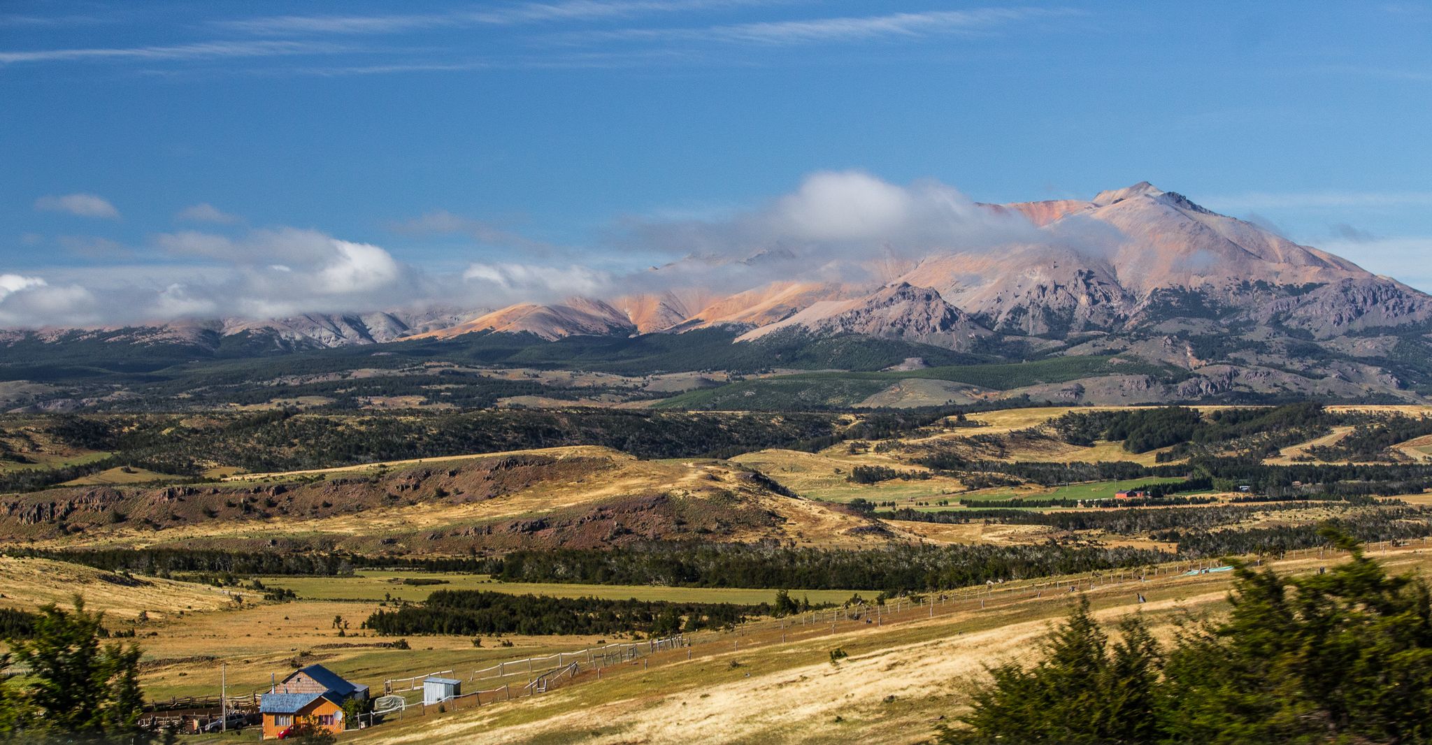
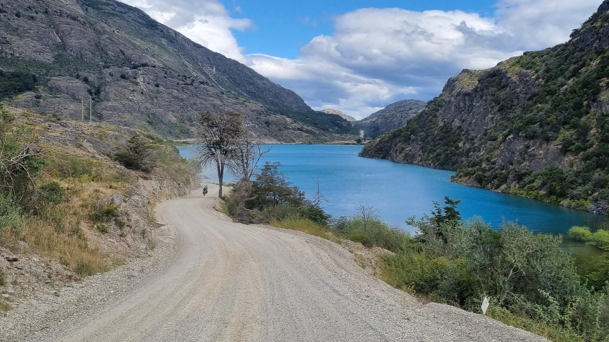
Jogging in Coyhaique offers diverse terrain for runners amidst the natural features of Chilean Patagonia. The region is characterized by its Lenga forests, striking hills like Cerro Cinchao, and the confluence of the Simpson and Coyhaique Rivers. Varied topography, where steppes meet mountains, creates a dynamic environment for outdoor activities, including running routes through protected areas.
Best jogging routes in Coyhaique
- The most popular jogging route is Mirador Cerro Castillo loop from Access point to the Rio, a 9.3…
Last updated: July 9, 2026
5.0
(1)
27
runners
15.0km
02:46
1,140m
1,140m
Hard run. Very good fitness required. Mostly accessible paths. Some sure footedness required.
3.0
(1)
13
runners
6.83km
00:46
150m
150m
Moderate run. Good fitness required. Mostly paved surfaces. Suitable for all skill levels.

Sign up for free
7
runners
13.1km
01:34
250m
250m
Moderate run. Good fitness required. Mostly paved surfaces. Suitable for all skill levels.
5
runners
9.42km
01:21
240m
240m
Hard run. Good fitness required. Sure-footedness, sturdy shoes and alpine experience required.
Our route recommendations are based on thousands of hikes, rides, and runs completed by other people on komoot.
Start today with a free account
Your next adventure awaits.
Login or Signup



Tips from the Community

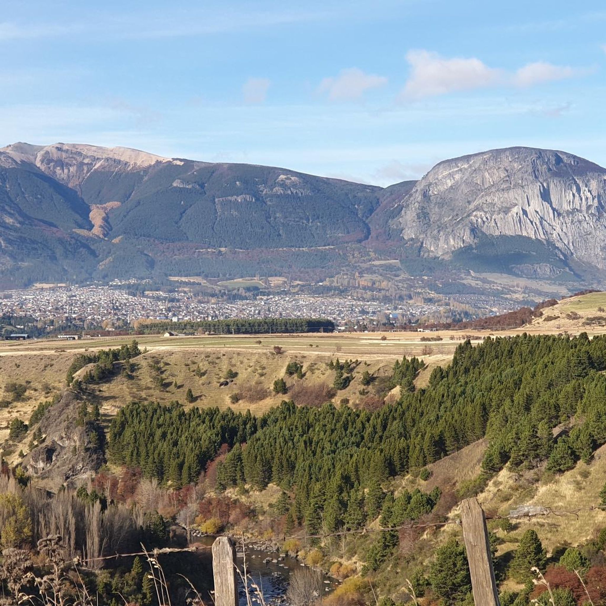
Coyhaique is the capital and only urban center of the Aysen region. The city is located where the Simpson and Coyhaique rivers converge. It was founded on October 12, 1929. Its creation aimed to facilitate the task of colonizing the region, as well as to support the functioning of the Aysen industrial company. The city is connected to the rest of the region by the Carretera Austral and to the rest of Chile by the Balmaceda airport.
2
0

Coyahique is the capital of the Aysen region: it is a large city, compared to the others in Chilean Patagonia. Its population, in fact, exceeds 50,000 inhabitants. The center of the city is Plaza de Armas.
1
0
Frequently Asked Questions
What kind of terrain can I expect on running trails in Coyhaique?
Jogging routes in Coyhaique offer a diverse mix of terrain, from threaded trails through thick pine and mature Lenga forests to paths with significant elevation gain amidst mountainous landscapes. You'll find options ranging from moderate to difficult, often featuring views of striking hills, river valleys, and sometimes glacial lakes, characteristic of Chilean Patagonia.
Are there any easy or moderate running routes suitable for beginners or families in Coyhaique?
Yes, while some routes are challenging, there are options for various fitness levels. The Vista a Piedra del Indio loop from Coyhaique is a moderate 4.2-mile (6.8 km) path that winds through forested areas. Additionally, the Río Simpson National Reserve is known for its less challenging, family-friendly trails along the scenic Simpson River.
What are some notable natural features or landmarks I might see while running in Coyhaique?
Coyhaique's running routes often provide access to stunning natural features. You might encounter the unique Piedra del Indio rock formation on the Vista a Piedra del Indio loop. Other routes, like the Laguna Verde – Mirador loop, take you through native forests and around clear lakes. The region is also framed by striking hills such as Cerro Cinchao and Mackay, and offers glimpses of the confluence of the Simpson and Coyhaique Rivers.
When is the best time of year to go jogging in Coyhaique?
The generally mild weather between December and March is most conducive to outdoor activities like running in Coyhaique. However, it's important to be prepared for cold and windy mountain weather, which can occur year-round, so appropriate gear is always recommended.
Are there any circular running routes available in Coyhaique?
Yes, several popular running routes in Coyhaique are circular, offering a complete loop experience. Examples include the challenging Mirador Cerro Castillo loop from Access point to the Rio, the moderate Vista a Piedra del Indio loop from Coyhaique, and the Laguna Verde – Mirador loop from Coyhaique.
What do other runners say about the jogging routes in Coyhaique?
The running routes in Coyhaique are highly rated by the komoot community, with an average score of 4.0 stars. Runners often praise the varied terrain, the stunning Patagonian scenery, and the opportunities to explore native forests and mountainous landscapes.
Can I bring my dog on the running trails in Coyhaique?
Policies regarding dogs on trails vary by location within the Coyhaique region. While some areas might be dog-friendly, national parks and reserves often have strict regulations to protect local flora and fauna. It's advisable to check specific rules for each reserve or park, such as Reserva Nacional Coyhaique or Cerro Castillo National Park, before heading out with your pet.
Are there any specific permits required for running in national reserves around Coyhaique?
Access to national parks and reserves in Chile, such as Reserva Nacional Coyhaique or Cerro Castillo National Park, typically requires an entrance fee or permit. It's recommended to check the official CONAF (National Forest Corporation) website or local park offices for the most current information on entry requirements and fees before your visit.
Where can I find parking for the running routes near Coyhaique?
Parking availability varies depending on the specific trailhead. For routes within protected areas like Reserva Nacional Coyhaique, designated parking areas are usually available near the main access points. For routes starting closer to the city, such as the Vista a Piedra del Indio loop or the Laguna Verde – Mirador loop, you might find parking options within or on the outskirts of Coyhaique city.
What are the elevation gains like on the running routes in Coyhaique?
The elevation gains on Coyhaique's running routes can vary significantly. For instance, the challenging Mirador Cerro Castillo loop from Access point to the Rio involves over 1,100 meters of elevation gain, offering a strenuous workout. Moderate routes like the Vista a Piedra del Indio loop have more modest gains, around 150 meters, making them more accessible.
Are there any cafes or amenities near the running trails in Coyhaique?
While many trails are in natural, undeveloped areas, the city of Coyhaique itself offers various amenities. After your run, you can find cafes like Cafe Peregrino Coyhaique or explore the Plaza de Armas de Coyhaique for dining and services. For trails further afield, it's best to carry your own supplies.
How many running routes are available in the Coyhaique region?
Komoot currently features over 4 dedicated running routes in the Coyhaique region, catering to various difficulty levels and offering diverse Patagonian landscapes for your run.
Most popular attractions in Coyhaique

Get inspired with the komoot mobile app


