The best running trails in El Alto
4.3
(7)
90
runners
7
runs
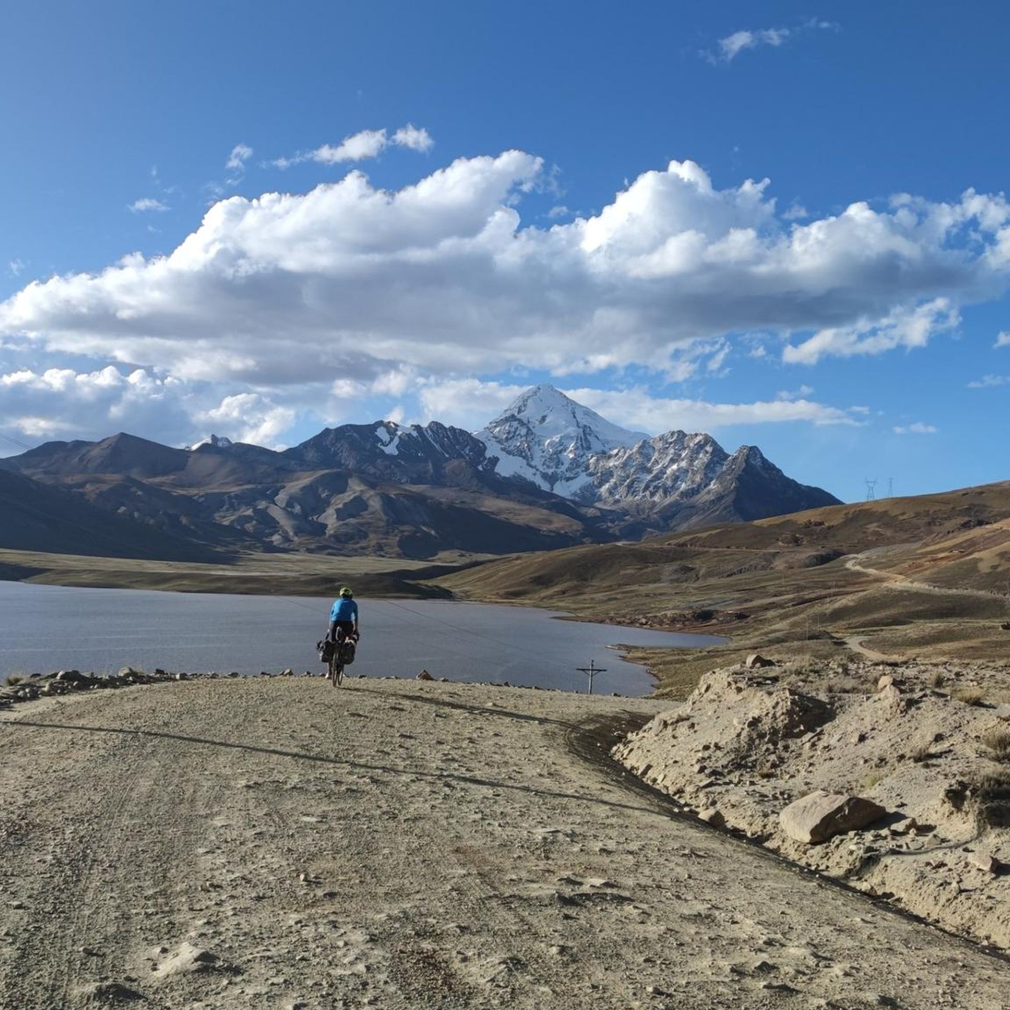
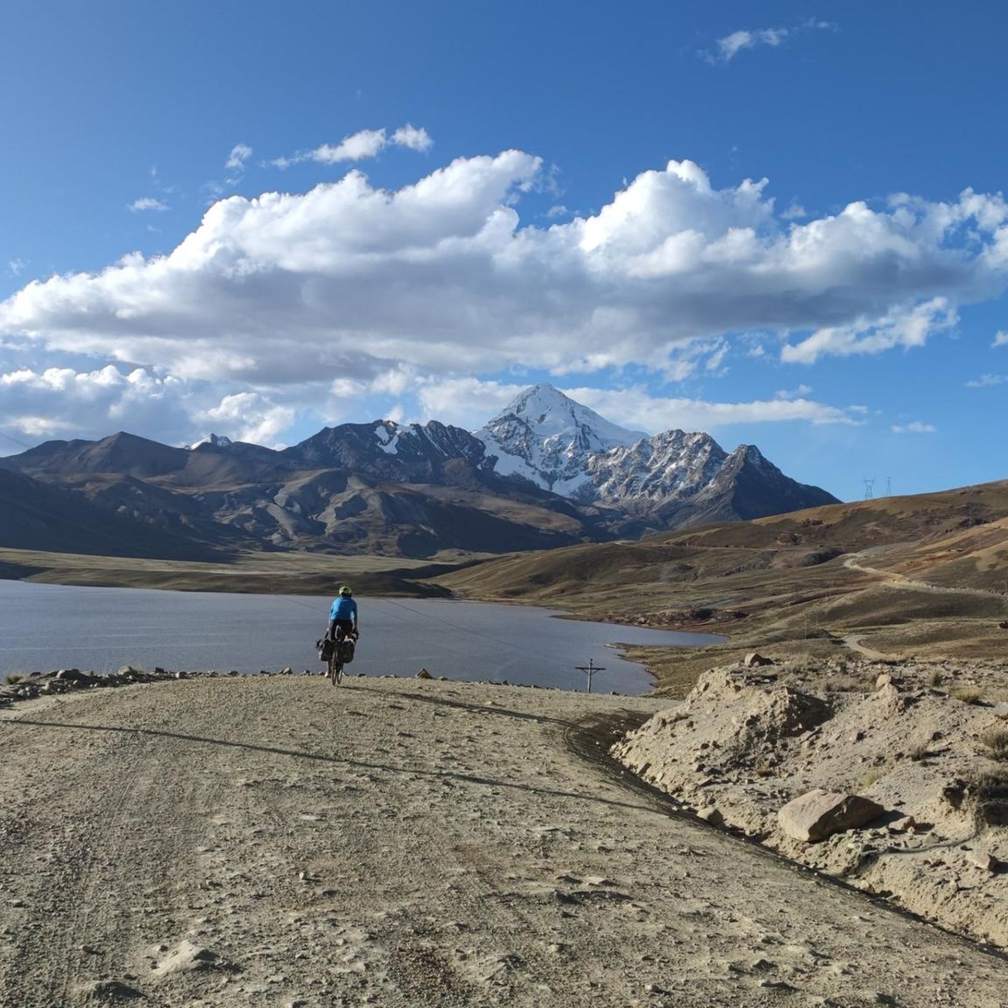
Jogging in El Alto offers a unique challenge due to its high-altitude plateau, situated around 4,000 meters (13,123 feet) above sea level. The region provides expansive views of the Cordillera Real mountain range, including snow-capped peaks like Huayna Potosí. Running routes often traverse urban areas, river valleys, and can extend towards the natural landscapes on the city's outskirts, requiring acclimatization for strenuous activity. The terrain varies from relatively flat stretches to significant elevation gains, providing diverse running conditions.
Best jogging…
Last updated: July 10, 2026
5.0
(1)
20
runners
11.1km
01:12
170m
170m
Moderate run. Good fitness required. Mostly paved surfaces. Suitable for all skill levels.
4.0
(2)
13
runners
18.4km
02:05
480m
480m
Hard run. Very good fitness required. Mostly paved surfaces. Suitable for all skill levels.

Sign up for free
8
runners
10.3km
01:11
300m
300m
Moderate run. Good fitness required. Mostly paved surfaces. Suitable for all skill levels.
3.0
(1)
10
runners
13.4km
01:31
360m
360m
Hard run. Very good fitness required. Mostly paved surfaces. Suitable for all skill levels.
8
runners
18.9km
02:04
420m
420m
Hard run. Very good fitness required. Mostly paved surfaces. Suitable for all skill levels.
7
runners
11.1km
01:20
270m
270m
Hard run. Good fitness required. Sure-footedness, sturdy shoes and alpine experience required.
Our route recommendations are based on thousands of hikes, rides, and runs completed by other people on komoot.
Start today with a free account
Your next adventure awaits.
Login or Signup
Popular around El Alto
Tips from the Community

Be very careful, there are many homeless people in the early hours (several of them in a state of intoxication)
1
0
Frequently Asked Questions
What is the overall difficulty of running routes in El Alto?
Running in El Alto presents a unique challenge due to its extreme altitude, around 4,000 meters (13,123 feet) above sea level. Acclimatization is crucial. The routes vary in difficulty, with 4 moderate and 5 difficult trails available. For example, the Río Huañajahuira – Bosquecillo Colegio La Salle loop from Apostolic nunciature is a moderate option, while the Huayna Potosí – Casa de Guias loop from Guides House offers a more challenging high-altitude mountain experience.
Are there any running routes that offer panoramic views of the Andes?
Yes, El Alto is renowned for its stunning vistas of the Cordillera Real mountain range, including snow-capped peaks like Huayna Potosí and Illimani. Many routes provide these breathtaking backdrops. The Huayna Potosí – Casa de Guias loop from Guides House, for instance, takes you through high-altitude mountain terrain with inspiring scenery.
What natural features can I expect to see while jogging in El Alto?
Jogging routes in El Alto often traverse diverse landscapes. You can expect to see expansive high-altitude plains (Altiplano), river valleys, and natural areas on the city's outskirts. The Pura Pura Ecological Reserve, located nearby, offers pristine landscapes, lush greenery, and trails through forests and meadows, which could be suitable for trail running.
Are there any family-friendly running paths in El Alto?
While the extreme altitude requires caution for all runners, especially families, some routes are less strenuous. The Río Huañajahuira – Bosquecillo Colegio La Salle loop from Apostolic nunciature is a moderate 5.4-mile trail that follows river paths and passes by green spaces, which might be suitable for families who are already acclimatized and accustomed to running.
Can I bring my dog on the running trails in El Alto?
The guide does not specify restrictions on dogs for the listed routes. However, when running in urban areas or nature reserves like Pura Pura, it's always advisable to check local regulations regarding pets. Ensure your dog is also acclimatized to the high altitude and can handle the terrain.
Are there any circular running routes available?
Yes, many of the running routes in El Alto are designed as loops, offering a convenient way to start and finish at the same point. Examples include the popular Río Huañajahuira – Bosquecillo Colegio La Salle loop from Apostolic nunciature and the challenging Río Huañajahuira – Río de La Paz loop from La Paz.
What is the best time of year to go running in El Alto?
El Alto's high-altitude climate means conditions can vary. Generally, the dry season (May to October) offers clearer skies and less rain, which can be more pleasant for outdoor activities. However, temperatures can still be cool, especially at higher elevations. Always check the local weather forecast before heading out, and be prepared for strong sun due to the altitude.
How do other runners rate the trails in El Alto?
The running routes in El Alto are highly rated by the komoot community, with an average score of 4.25 stars from more than 5 reviews. Over 90 runners have used komoot to explore El Alto's varied terrain, often praising the unique high-altitude experience and the stunning Andean mountain views.
Are there any specific urban areas or parks recommended for running in El Alto?
While many routes explore the natural surroundings, urban parks and avenues are also used by local runners. Julio Cesar Valdez Avenue and Estadio Cosmos 79 are mentioned as places where people run. For a more structured urban run, the City Center loop from La Paz offers a moderate 6.5-mile option.
What should I consider regarding altitude when planning a run in El Alto?
The most crucial factor is El Alto's extreme altitude of approximately 4,000 meters. Acclimatization is essential; start slowly, stay hydrated, and allow several days to adjust before engaging in strenuous activity. Listen to your body and be aware of symptoms of altitude sickness.
Are there long-distance running options available?
Yes, El Alto offers several longer routes for endurance runners. The Río Huañajahuira – Río de La Paz loop from La Paz is a challenging 10.0-mile path connecting river valleys, and the Bajadita Alley – Beyu loop from Agencia Boliviana Espacial is an even longer, difficult 12.6-mile route.
Can I access running trails using public transport in El Alto?
El Alto has a comprehensive public transport system, including the iconic Mi Teleférico cable car, which can provide access to different areas of the city and its surroundings. While specific public transport links to trailheads are not detailed, using the cable car or local buses could be a way to reach starting points for various runs, potentially offering varied terrains and perspectives.
Most popular routes in El Alto

Get inspired with the komoot mobile app


Explore more
Browse the best Running Trails & Routes in other regions.
