The best road cycling routes in El Alto
26
riders
3
rides
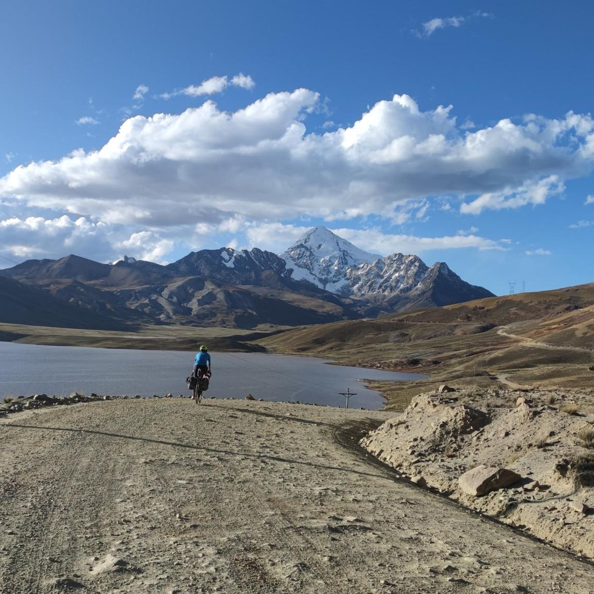
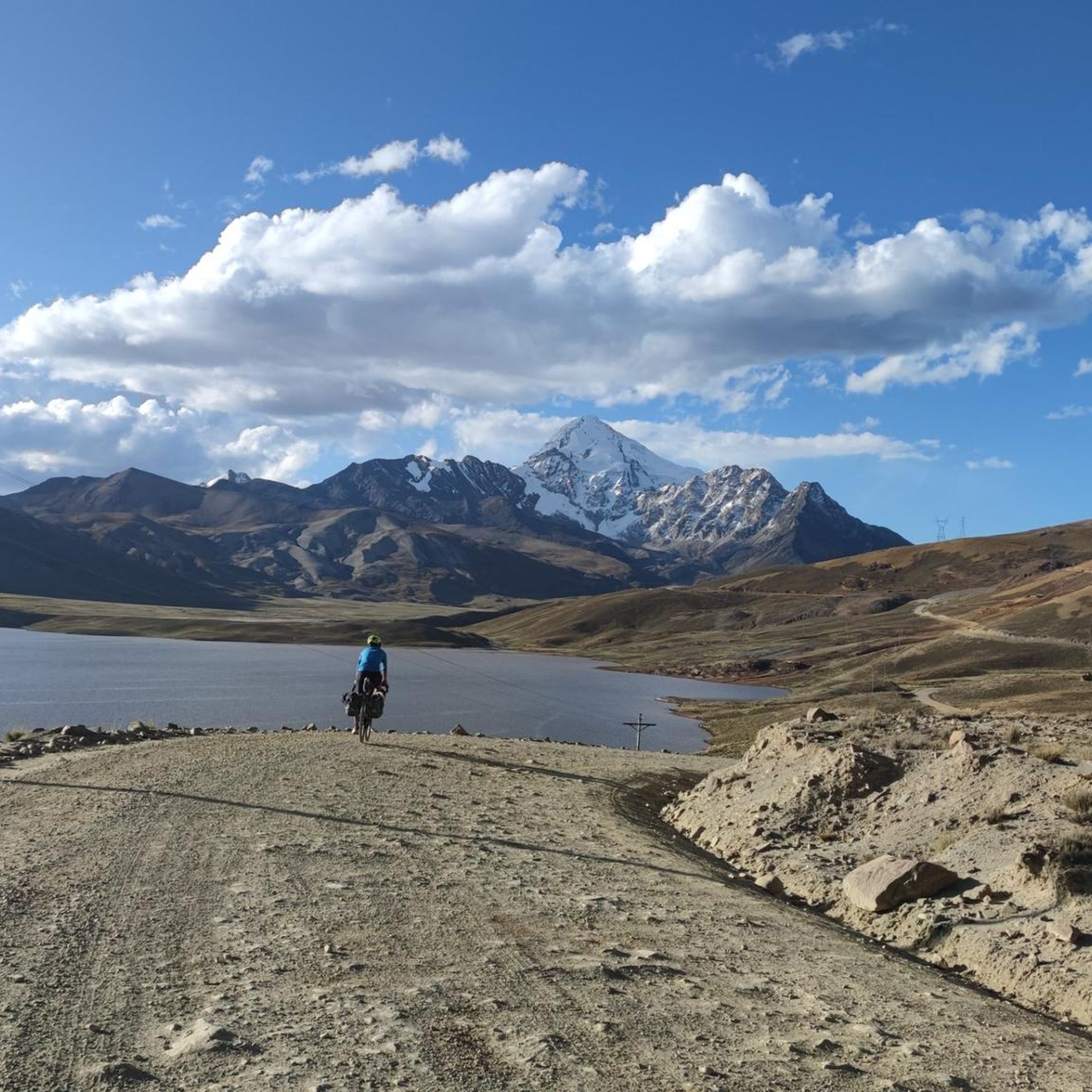
Road cycling in El Alto, Bolivia, is characterized by its extreme high-altitude environment, with routes often starting above 13,000 feet (4,000 meters). The region features significant elevation changes, offering challenging climbs and descents amidst panoramic Andean views of peaks like Huayna Potosí and Illimani. Cyclists can expect a mix of mostly well-paved surfaces with some unpaved segments, requiring suitable equipment. The terrain provides a demanding experience for those seeking high-altitude road cycling.
Best road cycling routes in El Alto
- The…
Last updated: July 10, 2026
10
riders
47.1km
02:53
1,120m
1,120m
Hard road ride. Very good fitness required. Some segments of this route may be unpaved and difficult to ride.
9
riders
18.4km
01:01
400m
400m
Moderate road ride. Good fitness required. Mostly well-paved surfaces and easy to ride.

Sign up for free
7
riders
47.1km
02:45
1,010m
1,010m
Hard road ride. Very good fitness required. Some segments of this route may be unpaved and difficult to ride.
Our route recommendations are based on thousands of hikes, rides, and runs completed by other people on komoot.
Start today with a free account
Your next adventure awaits.
Login or Signup
Popular around El Alto
Frequently Asked Questions
How many road cycling routes are available in El Alto?
There are currently 3 road cycling routes listed in El Alto on komoot, ranging from moderate to difficult. These routes offer significant elevation changes and panoramic Andean views.
What are the typical terrain and conditions for road cycling in El Alto?
Road cycling in El Alto is characterized by its extreme high-altitude environment, often starting above 4,000 meters (13,000 feet). You can expect significant elevation changes, with challenging climbs and descents. While many surfaces are well-paved, some segments, especially on longer routes, may be unpaved and difficult, requiring suitable equipment.
What kind of fitness level is required for road cycling in El Alto?
Due to the high altitude and significant elevation gains, road cycling in El Alto requires a good to very good fitness level. The thin atmosphere at 4,000 meters (13,123 feet) significantly increases the physical challenge, so acclimatization is crucial.
Are there any easy or beginner-friendly road cycling routes in El Alto?
The road cycling routes in El Alto are generally categorized as moderate to difficult, with significant elevation gains. For example, the Río Irpavi – Río de La Paz loop from Calacoto is a moderate 18.8 km route, but still involves nearly 400 meters of ascent. Cyclists new to high-altitude riding should be prepared for the added challenge.
What are the best times of year for road cycling in El Alto?
El Alto experiences generally cool daytime temperatures (13–17 °C) with crisp nights. While specific 'best seasons' aren't highlighted, the consistent cool temperatures mean that clear, dry periods would be most favorable for cycling. Always check local weather forecasts before heading out.
What natural features or landmarks can I see while road cycling in El Alto?
Road cycling in El Alto offers spectacular panoramic views of the surrounding Cordillera Real, including the iconic snow-capped peaks of Huayna Potosí and Illimani. The vast Altiplano landscape provides a dramatic backdrop to your rides. While not directly on the routes, the Mi Teleférico cable car system offers panoramic views of La Paz and El Alto.
Are there any long-distance road cycling routes available?
Yes, routes like the Río de La Paz – Laguna Pacajes loop from Universidad Mayor de San Andrès and the Río de La Paz – Laguna Pacajes loop from Achumani are nearly 50 km long, each featuring over 1,000 meters of elevation gain. These routes provide a substantial challenge for experienced cyclists.
Can I access road cycling routes using public transport in El Alto?
The Mi Teleférico cable car system in El Alto and La Paz can transport bicycles, offering a convenient way to access different starting points for rides and potentially minimize initial climbs out of La Paz's basin. This can be a useful option for cyclists looking to explore various areas.
What do other road cyclists enjoy most about road cycling in El Alto?
Cyclists often praise the incredibly rewarding views of the vast Altiplano and prominent Andean peaks, such as Huayna Potosí and Illimani. The unique challenge of high-altitude cycling and the dramatic mountain scenery are frequently highlighted as key attractions.
Are there any cafes or amenities along the road cycling routes?
The provided route information does not specifically detail cafes or amenities directly along the routes. Given the high-altitude and sometimes remote nature of the trails, it's advisable to carry sufficient water and snacks. El Alto itself, as a major city, offers various services before and after your ride.
Is El Alto suitable for family-friendly road cycling?
Given the extreme high-altitude environment, significant elevation changes, and varied terrain (including potentially unpaved segments), road cycling in El Alto is generally considered challenging. It may not be ideal for casual family rides, especially for those not accustomed to high-altitude exertion.
What are the highest points reached on road cycling routes in El Alto?
Road cycling routes in El Alto often start above 4,000 meters (13,000 feet) and feature significant elevation gains. For instance, the Río de La Paz – Laguna Pacajes loop from Universidad Mayor de San Andrès includes over 1,100 meters of elevation gain, meaning you will be cycling at very high altitudes throughout your journey.
Most popular routes in El Alto

Get inspired with the komoot mobile app


Explore more
Browse the best Road cycling routes in other regions.
