The best running trails in Calamuchita
3.0
(1)
158
runners
14
runs
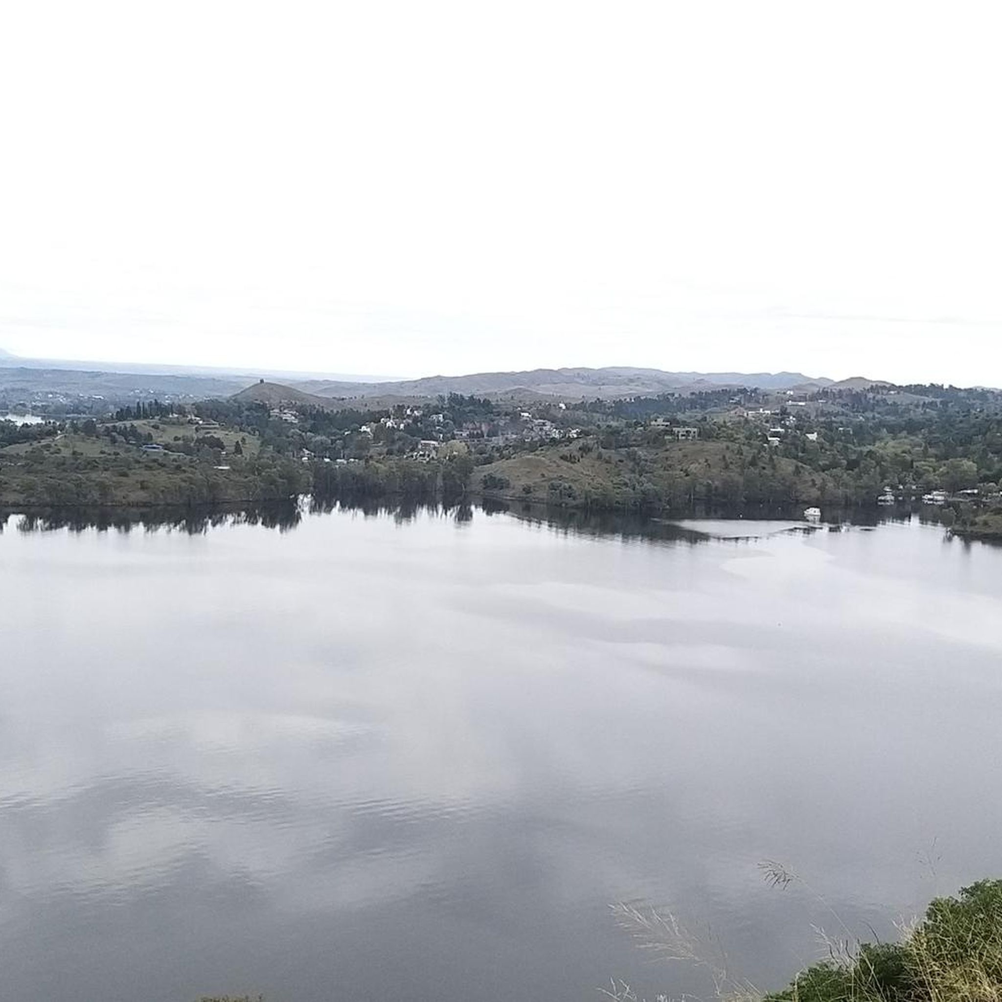
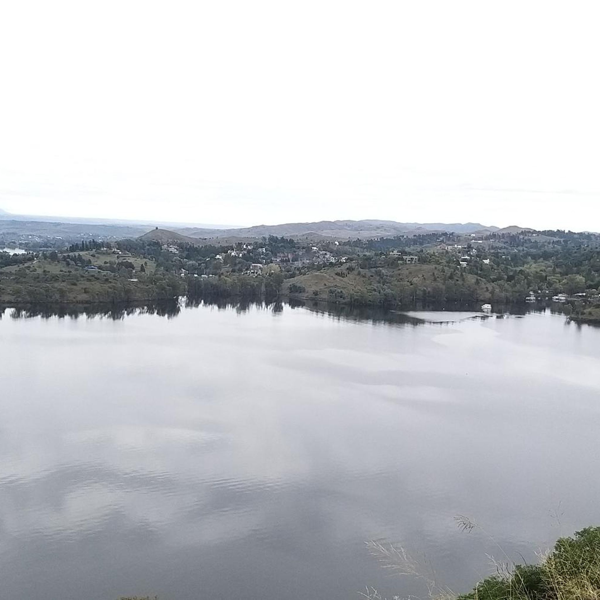
Jogging in Calamuchita offers diverse terrain across Argentina's Córdoba province, characterized by mountains, rivers, lakes, and forests. The region is situated between the Sierras Grandes and Sierras Chicas, providing varied elevation for running. Prominent features include the Santa Rosa River and numerous reservoirs, offering picturesque paths along their shores. Lush forests with eucalyptus and pine trees provide shaded environments for running.
Best jogging routes in Calamuchita
- The most popular jogging route is Pozo Verde – Mirador loop from Villa General…
Last updated: July 10, 2026
46
runners
22.1km
03:00
700m
700m
Hard run. Very good fitness required. Mostly paved surfaces. Suitable for all skill levels.
18
runners
34.0km
05:13
1,640m
1,640m
Hard run. Very good fitness required. Mostly paved surfaces. Suitable for all skill levels.

Sign up for free
26
runners
32.4km
04:43
1,450m
1,450m
Hard run. Very good fitness required. Mostly paved surfaces. Suitable for all skill levels.
12
runners
9.48km
01:22
430m
430m
Hard run. Very good fitness required. Mostly accessible paths. Some sure footedness required.
16
runners
8.96km
01:13
310m
310m
Hard run. Very good fitness required. Mostly accessible paths. Some sure footedness required.
11
runners
20.1km
02:27
610m
610m
Hard run. Very good fitness required. Mostly paved surfaces. Suitable for all skill levels.
11
runners
28.1km
03:53
950m
950m
Hard run. Very good fitness required. Mostly paved surfaces. Suitable for all skill levels.
6
runners
28.7km
03:45
1,000m
1,000m
Hard run. Very good fitness required. Sure-footedness, sturdy shoes and alpine experience required.
5
runners
5.64km
00:38
20m
20m
Moderate run. Good fitness required. Mostly paved surfaces. Suitable for all skill levels.
3.0
(1)
4
runners
Moderate run. Good fitness required. Mostly paved surfaces. Suitable for all skill levels.
Get access to more routes and recommendations from other explorers.
Sign up for free
Already have an account?
Our route recommendations are based on thousands of hikes, rides, and runs completed by other people on komoot.
Start today with a free account
Your next adventure awaits.
Login or Signup
Popular around Calamuchita

Frequently Asked Questions
How many running routes are available in Calamuchita?
Komoot features over a dozen running routes in Calamuchita, offering a variety of experiences across its diverse landscapes. These routes range from moderate paths along riverbanks to challenging mountain ascents.
Are there any easy or moderate running trails suitable for beginners or families in Calamuchita?
While many routes in Calamuchita are rated as difficult, there are several moderate options perfect for those seeking a less strenuous run or a family outing. These often feature gentler terrain along riverbanks or through forested areas. For example, the Mirador loop from Villa General Belgrano is a moderate 8.6 km route, and the Running loop from Municipio de La Cruz is a shorter, moderate 5.6 km option.
What kind of terrain can I expect on Calamuchita's jogging routes?
Calamuchita offers a rich variety of terrain for runners. You can expect routes that traverse mountain ranges like the Sierras Grandes and Sierras Chicas, follow picturesque riverbanks such as the Santa Rosa River, and wind through lush forests of eucalyptus and pine. The region also features paths along the shores of its many lakes and reservoirs, providing diverse scenic backdrops for your run.
Are there any long-distance running trails for experienced runners?
Absolutely. Calamuchita is home to several challenging long-distance routes ideal for experienced trail runners. The Summit of Cerro Champaquí loop from Villa Alpina is a demanding 34 km path that ascends to Córdoba's highest peak. Another significant option is the Reserva Mogote Bayo – paseo de las esculturas loop from Villa de Merlo, covering over 32 km through varied landscapes.
What are some notable natural features or landmarks I might see while running in Calamuchita?
Running in Calamuchita offers stunning natural sights. You can explore the banks of the Santa Rosa River, discover tranquil pools, and enjoy views of the region's 'blue valley of the big lakes,' including the impressive Embalse lake. Routes often pass through natural reserves like Pozo Verde, Zarzamora Ravine, and Mirador Mountain, where you can experience local flora and fauna. Towns like La Cumbrecita also offer unique trails to spots like the Birch Forest and Cascada Grande.
Which towns are good starting points for running in Calamuchita?
Several towns in Calamuchita serve as excellent starting points for runners. Villa General Belgrano provides access to trails around Pozo Verde and Mirador Mountain. La Cumbrecita, being a pedestrian-only town, is inherently runner-friendly with routes to Cerro Wank and Cascada Grande. Santa Rosa de Calamuchita offers pleasant riverbank paths, and Villa Rumipal provides winding trails amidst lush vegetation.
What do other runners say about the trails in Calamuchita?
The running routes in Calamuchita are highly regarded by the komoot community. Over 140 runners have used komoot to explore the region's varied terrain, often praising the diverse landscapes, from challenging mountain ascents to serene forested paths and picturesque riverbanks.
Are there any circular running routes in Calamuchita?
Yes, many of Calamuchita's running routes are designed as loops, allowing you to start and finish in the same location. Examples include the popular Pozo Verde – Mirador loop from Villa General Belgrano, the challenging Cerro Wank – Bosque mixto loop from Comuna de La Cumbrecita, and the scenic Mirador Cristo Chico – Mirador Vaca echada loop from Comuna de La Cumbrecita.
What is the best time of year to go running in Calamuchita?
Calamuchita generally enjoys temperate weather conditions, making it suitable for running year-round. However, spring and autumn offer particularly pleasant temperatures and vibrant scenery. Even in winter, many routes remain accessible, providing a cooler and often quieter running experience amidst the region's natural beauty.
Are there any routes that offer panoramic views?
Many routes in Calamuchita provide breathtaking panoramic views, especially those that ascend into the mountain ranges. Trails leading to peaks like Champaquí Mountain, Cerro de la Virgen, Pico Alemán, and Cerro Wank offer expansive vistas of the valleys, lakes, and surrounding sierras. The Summit of Cerro Champaquí loop from Los Tres Arboles is a prime example for incredible high-altitude views.
Can I find routes that are shaded by forests?
Yes, Calamuchita boasts wonderful landscapes of forests, including majestic eucalyptus and century-old pines, which provide shaded and serene environments perfect for running. Many trails within natural reserves like Pozo Verde and La Cascada Nature Reserve offer extensive tree cover, making them ideal for warmer days.
Are there any running routes near water bodies where I can cool off?
Calamuchita is known as 'the blue valley of the big lakes' and features prominent rivers like the Santa Rosa. Many running paths follow these water bodies, offering picturesque views and opportunities to cool off. The banks of the Santa Rosa River in Santa Rosa de Calamuchita, for instance, have natural beaches and tranquil pools. Routes around the various reservoirs also provide access to the water.

Get inspired with the komoot mobile app


Explore more
Browse the best Running Trails & Routes in other regions.
