
The best cycling routes in Calamuchita
4.6
(17)
164
riders
20
rides
Touring cycling in Calamuchita, nestled in Argentina's Córdoba province, features a diverse geography between the Sierras Grandes and Sierras Chicas mountain ranges. The region is characterized by rolling hills, extensive forests, and clear rivers, alongside significant reservoirs like Embalse Río Tercero. Routes often combine asphalt and gravel surfaces, providing intermediate-level challenges with moderate inclines suitable for touring cyclists.
Best touring cycling routes in Calamuchita
- The most popular touring cycling route is Vertedero – Mirador Arroyo Las Vacas loop from Villa…
Last updated: July 10, 2026
20
riders
47.5km
03:41
490m
490m
Hard bike ride. Very good fitness required. Mostly paved surfaces. Suitable for all skill levels.
5.0
(1)
11
riders
54.5km
04:23
820m
830m
Hard bike ride. Very good fitness required. Mostly paved surfaces. Suitable for all skill levels.

Sign up for free
12
riders
Moderate bike ride. Good fitness required. Mostly paved surfaces. Suitable for all skill levels.
5.0
(1)
8
riders
26.1km
02:02
280m
270m
Moderate bike ride. Good fitness required. Mostly paved surfaces. Suitable for all skill levels.
5.0
(1)
9
riders
58.0km
05:18
920m
920m
Hard bike ride. Very good fitness required. Mostly paved surfaces. Suitable for all skill levels.
9
riders
36.1km
02:45
510m
510m
Hard bike ride. Very good fitness required. Mostly paved surfaces. Suitable for all skill levels.
4
riders
41.6km
03:49
840m
840m
Hard bike ride. Very good fitness required. Mostly paved surfaces. Suitable for all skill levels.
6
riders
74.9km
06:31
930m
930m
Hard bike ride. Very good fitness required. Mostly paved surfaces. Suitable for all skill levels.
6
riders
37.9km
03:43
600m
600m
Hard bike ride. Very good fitness required. Mostly paved surfaces. Suitable for all skill levels.
5
riders
74.7km
07:03
1,220m
1,220m
Hard bike ride. Very good fitness required. Mostly paved surfaces. Suitable for all skill levels.
Get access to more routes and recommendations from other explorers.
Sign up for free
Already have an account?
Our route recommendations are based on thousands of hikes, rides, and runs completed by other people on komoot.
Start today with a free account
Your next adventure awaits.
Login or Signup
Popular around Calamuchita


Frequently Asked Questions
What kind of terrain can I expect on touring cycling routes in Calamuchita?
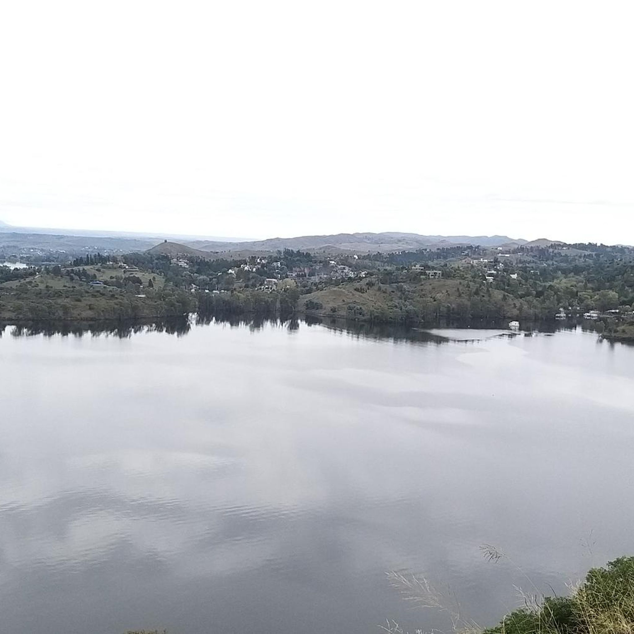
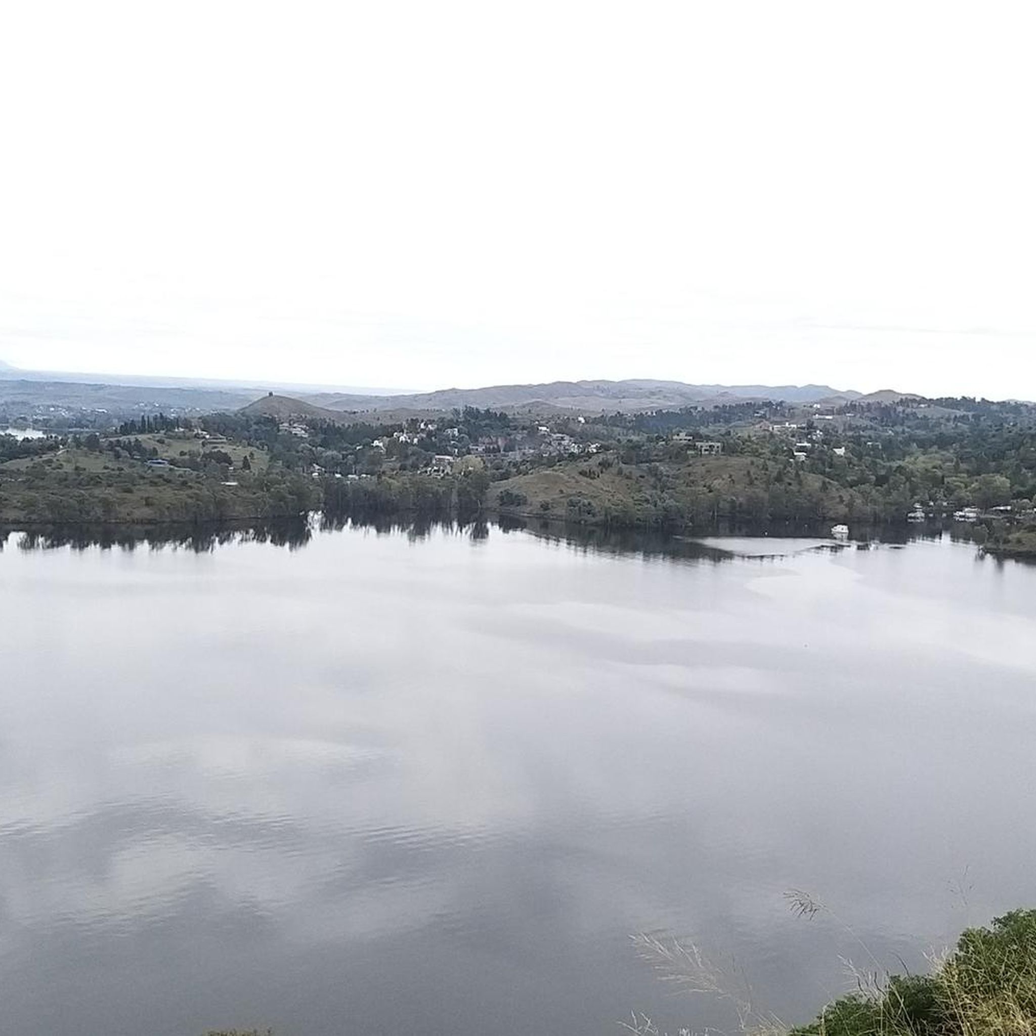
Calamuchita's touring cycling routes often feature a mix of asphalt and gravel surfaces. You'll navigate rolling hills and moderate inclines as you pass through lush forests and along clear rivers and reservoirs. The diverse geography between the Sierras Grandes and Sierras Chicas mountain ranges ensures a varied and engaging ride.
Are there touring cycling routes suitable for beginners or families in Calamuchita?
Yes, while many routes present intermediate to difficult challenges, there are options for easier rides. For a moderate experience, consider the Mirador del Valle – Paseo de los Arroyos loop from Municipio de Santa Rosa de Calamuchita, which is 17.3 miles (27.8 km) long and takes about 2 hours 19 minutes. This route offers pleasant valley viewpoints and follows streams, making it a good choice for those seeking a less strenuous ride.
What are some notable landmarks or scenic views I can expect along the touring cycling routes?
Calamuchita is rich in natural beauty. Many routes offer stunning views of the Sierras Grandes and Sierras Chicas mountain ranges. You'll encounter prominent rivers like the Santa Rosa River, and large reservoirs such as Embalse Río Tercero and Los Molinos Dam. Towns like Villa General Belgrano, Santa Rosa de Calamuchita, and La Cumbrecita also offer charming European-style architecture and unique natural features like La Cumbrecita's Birch Forest.
Are there any circular touring cycling routes available in Calamuchita?
Yes, many of the touring cycling routes in Calamuchita are designed as loops, allowing you to start and end in the same location. For example, the Vertedero – Mirador Arroyo Las Vacas loop from Villa Rumipal is a popular difficult route offering views of the Arroyo Las Vacas. Another option is the Alto del Tala loop from Villa General Belgrano, which provides significant elevation gain.
What is the best time of year to go touring cycling in Calamuchita?
Calamuchita generally enjoys mild weather throughout the year, making it suitable for outdoor activities across all seasons. However, for touring cycling, spring (September to November) and autumn (March to May) often provide the most comfortable temperatures and pleasant conditions, avoiding the peak summer heat and potential winter chill at higher elevations.
How many touring cycling routes are available in Calamuchita?
There are over 20 touring cycling routes available in Calamuchita, catering to various skill levels. This includes 1 easy route, 3 moderate routes, and 16 difficult routes, ensuring a wide range of options for every cyclist.
What do other touring cyclists say about their experience in Calamuchita?
The touring cycling routes in Calamuchita are highly rated by the komoot community, with an average score of 5.0 stars from over 9 reviews. Cyclists often praise the region's diverse terrain, stunning natural beauty, and the engaging challenges offered by the routes.
Are there any routes that follow rivers or lakes?
Absolutely. Calamuchita is known as the 'blue valley of the big lakes,' so many routes incorporate its prominent water features. The Río Los Reartes – Zona de Balnearios loop from Villa General Belgrano is a moderate route that follows the Río Los Reartes, offering scenic views and access to bathing areas. You can also find routes near the Santa Rosa River and the Embalse Río Tercero.
Can I find challenging touring cycling routes with significant elevation gain?
Yes, Calamuchita offers several difficult routes with substantial elevation changes. For instance, the Río Los Reartes loop from Gutierrez covers 60.3 km with over 920 meters of elevation gain. Another challenging option is the Río Santa Rosa – Paseo de los Arroyos loop from Municipio de San Agustín, which spans 74.7 km and features over 1200 meters of ascent.
Are there any touring cycling routes that pass through or near the pedestrian town of La Cumbrecita?
Yes, you can explore routes that offer access to the unique pedestrian town of La Cumbrecita. The Mirador Vaca echada loop from Comuna de La Cumbrecita is a difficult 41.6 km route that starts from the Comuna de La Cumbrecita, allowing you to experience the town's charm and its surrounding natural beauty, including the Birch Forest.
What towns are good starting points for touring cycling in Calamuchita?
Several towns serve as excellent bases for touring cycling. Villa General Belgrano is a popular choice, known for its European charm. Santa Rosa de Calamuchita, situated on the Santa Rosa River, is another great starting point. Other towns like Villa Rumipal, Gutierrez, and La Cumbrecita also offer convenient access to various routes.
Are there longer touring cycling routes for multi-day trips or experienced cyclists?
For experienced cyclists looking for longer rides, Calamuchita has several options. The Río Amboy loop from Municipio de Santa Rosa de Calamuchita is a difficult 74.9 km route with over 920 meters of elevation gain, taking approximately 6 hours 31 minutes. These longer routes provide ample opportunity to explore more of the region's diverse landscapes.

Get inspired with the komoot mobile app


Explore more
Browse the best Cycling routes in other regions.
