The best MTB trails in Calamuchita
5.0
(9)
175
riders
14
rides
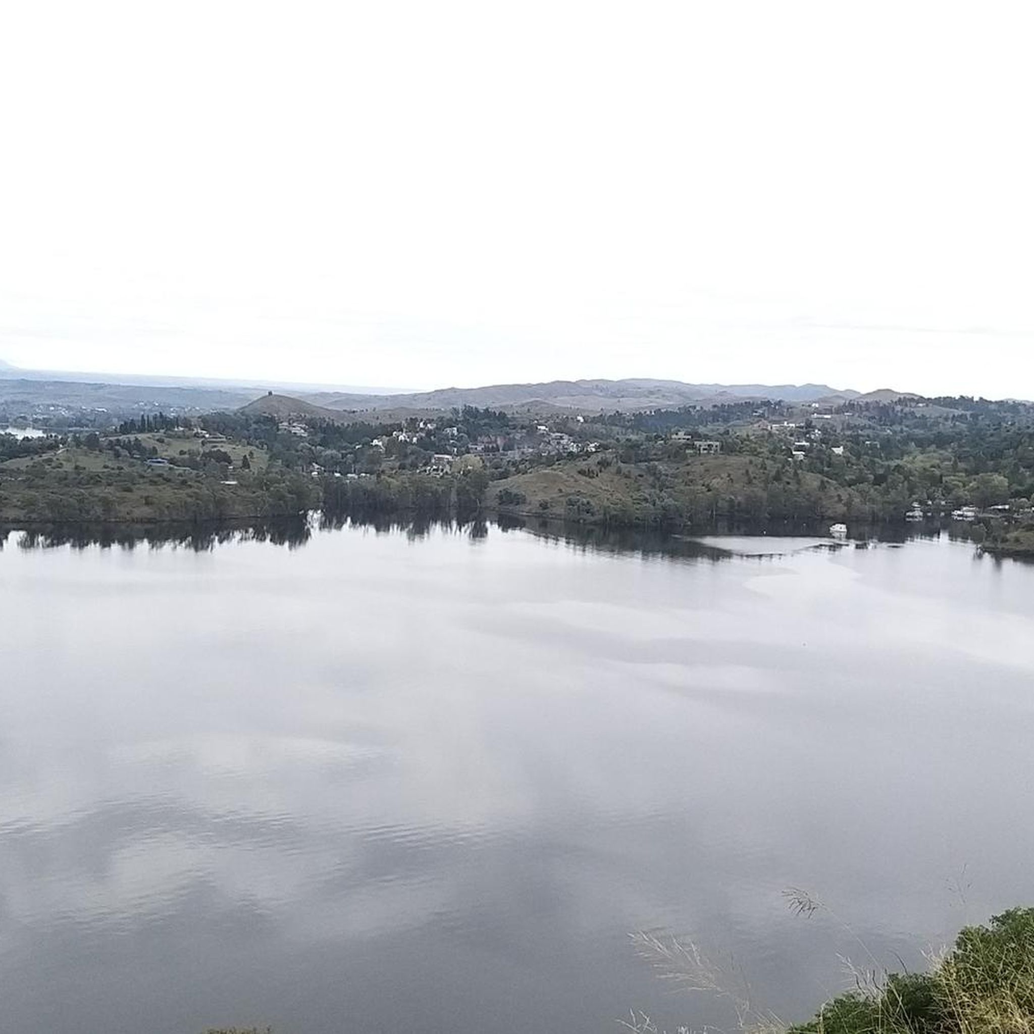
Mountain biking in Calamuchita offers diverse landscapes within the Sierras de Córdoba, characterized by high mountains, rugged slopes, and extensive forests. The region is known for its succession of reservoirs and rivers, providing scenic routes along their shores and through valleys. Mountain bikers can expect varied terrain, from challenging climbs and descents to paths winding through dense woodlands and past natural pools. This environment creates an ideal setting for exploring the natural beauty of Calamuchita on two wheels.
Best mountain…
Last updated: July 10, 2026
5.0
(1)
27
riders
63.1km
05:24
910m
910m
Hard mountain bike ride. Very good fitness required. Suitable for all skill levels.
28
riders
89.3km
07:50
1,440m
1,440m
Hard mountain bike ride. Very good fitness required. Suitable for all skill levels.

Sign up for free
5.0
(2)
23
riders
52.5km
04:14
540m
540m
Moderate mountain bike ride. Good fitness required. Suitable for all skill levels.
5.0
(2)
7
riders
72.8km
06:44
1,210m
1,210m
Hard mountain bike ride. Very good fitness required. Suitable for all skill levels.
11
riders
46.0km
04:21
830m
830m
Moderate mountain bike ride. Good fitness required. Suitable for all skill levels.
10
riders
Hard mountain bike ride. Very good fitness required. Suitable for all skill levels.
5.0
(2)
9
riders
37.9km
03:06
560m
560m
Moderate mountain bike ride. Good fitness required. Suitable for all skill levels.
5
riders
34.8km
02:48
420m
410m
Moderate mountain bike ride. Good fitness required. Suitable for all skill levels.
5
riders
66.3km
05:57
1,160m
1,160m
Hard mountain bike ride. Very good fitness required. Suitable for all skill levels.
Get access to more routes and recommendations from other explorers.
Sign up for free
Already have an account?
Our route recommendations are based on thousands of hikes, rides, and runs completed by other people on komoot.
Start today with a free account
Your next adventure awaits.
Login or Signup
Popular around Calamuchita


Tips from the Community

Coming down from the road that leads to a Villa Berna with the Cumbrecita, this road is surrounded by a dense forest, with very rough climbs but which are worth doing after the refreshing dip in the middle river.
0
0
Frequently Asked Questions
How many mountain bike trails are available in Calamuchita?
Calamuchita offers a diverse network of over a dozen mountain bike trails. These include 1 easy, 6 moderate, and 9 difficult routes, catering to various skill levels.
What kind of terrain can I expect on mountain bike trails in Calamuchita?
You can expect varied terrain, from challenging climbs and steep descents in the high mountains to paths winding through dense forests, along rivers like the Santa Rosa, and past picturesque reservoirs. The region is known for its rugged slopes and beautiful natural features.
Are there any family-friendly mountain bike trails in Calamuchita?
While many trails in Calamuchita are moderate to difficult, there is at least one easy route available. For families, it's best to look for routes with less elevation gain and smoother paths, often found closer to towns or along lake shores. Always check the difficulty rating before heading out.
Can I bring my dog on the mountain bike trails in Calamuchita?
The region's trails wind through diverse natural landscapes, including forests and protected areas. While many trails are generally accessible, it's always recommended to check local regulations for specific routes or natural reserves regarding pets, especially in areas with sensitive wildlife or private land.
What are some notable natural features or landmarks I might see while mountain biking in Calamuchita?
Mountain bikers in Calamuchita can enjoy breathtaking views of peaks like Champaquí Mountain and Cerro Rumipal. You'll also encounter serene lakes, winding rivers such as the Santa Rosa, and natural pools like La Olla. The trails often pass through beautiful forests of eucalyptus and century-old pines, revealing diverse flora and fauna.
Are there any loop mountain bike trails in Calamuchita?
Yes, many of the mountain bike routes in Calamuchita are loops, offering a complete circuit experience. For example, you could try the Ford – Río del Medio loop from Los Espinillos, a challenging 63.1 km route, or the Las Bajadas - Segunda Usina loop from Comuna de Las Bajadas, a moderate 52.5 km trail.
What is the best time of year to go mountain biking in Calamuchita?
Calamuchita offers pleasant conditions for mountain biking for much of the year. The spring and autumn months generally provide milder temperatures, making for more comfortable rides. Summers can be warm, but the region's lakes and rivers offer refreshing stops. Winters are cooler but often clear, suitable for those who don't mind the chill.
Where can I find parking or public transport access for mountain bike trails in Calamuchita?
Many trails start from or pass through towns like Villa General Belgrano, Santa Rosa de Calamuchita, or Embalse, where parking facilities are generally available. For specific trailheads, it's advisable to check the route details on komoot. Public transport options might be limited directly to remote trailheads, so planning ahead is recommended.
What do other mountain bikers say about the trails in Calamuchita?
The mountain bike trails in Calamuchita are highly rated by the komoot community, with an average score of 5.0 stars from 8 reviews. Riders often praise the region's diverse landscapes, challenging terrain, and the scenic beauty of its forests, rivers, and lakes.
Are there any mountain bike trails that follow rivers or lakes in Calamuchita?
Absolutely. Calamuchita is known as the 'blue valley of the big lakes,' and many routes incorporate these natural features. The Río Santa Rosa loop from Municipio de Santa Rosa de Calamuchita is a prime example, winding through mountainous terrain and along the Santa Rosa River, offering beautiful riverside paths.
How long do mountain bike trails in Calamuchita typically take to complete?
The duration varies significantly based on the trail's length and difficulty. For instance, a challenging route like the Paseo de los Arroyos loop from Villa General Belgrano, spanning 72.8 km, can take over 6 hours. Shorter, moderate trails, such as the Mirador del Valle loop from Santa Rosa de Calamuchita (37.8 km), might be completed in around 3 hours.
Are there options for advanced mountain bikers seeking a challenge?
Yes, Calamuchita is well-suited for advanced riders. With 9 difficult routes, the region offers significant challenges including steep climbs and technical descents. Trails like the Río Santa Rosa – Mirador del Valle loop from Municipio de Santa Rosa de Calamuchita provide extensive distances and considerable elevation changes for experienced mountain bikers.

Get inspired with the komoot mobile app


Explore more
Browse the best MTB trails in other regions.
