The best mountain hikes in La Paz
5.0
(12)
231
hikers
8
hikes
Mountaineering routes in La Paz, Bolivia, offer unparalleled access to the majestic Cordillera Real, a high-altitude mountain range characterized by numerous peaks averaging 6,000 meters. The region's terrain features prominent glaciated summits, deep valleys, and high-altitude lakes, providing a diverse environment for climbers. Its proximity to the city makes it a convenient base for exploring world-class climbing experiences. The landscape is dominated by the towering Andes, offering a natural acclimatization point for those seeking challenging ascents.
Best mountaineering routes in…
Last updated: July 10, 2026
5.0
(1)
89
hikers
Hard mountaineering route. Very good fitness required. Sure-footedness, sturdy shoes and alpine experience required.
5.0
(5)
53
hikers
11.5km
09:35
1,360m
1,360m
Hard mountaineering route. Very good fitness required. Sure-footedness, sturdy shoes and alpine experience required.

Sign up for free
5.0
(1)
37
hikers
3.31km
01:20
160m
170m
Hard mountaineering route. Great for any fitness level. Sure-footedness, sturdy shoes and alpine experience required.
5.0
(2)
21
hikers
10.5km
05:45
820m
820m
Hard mountaineering route. Very good fitness required. Sure-footedness, sturdy shoes and alpine experience required.
5.0
(1)
11
hikers
18.1km
05:25
550m
550m
Hard mountaineering route. Very good fitness required. Easily-accessible paths. Suitable for all skill levels.
10
hikers
5.80km
03:52
650m
650m
Hard mountaineering route. Good fitness required. Sure-footedness, sturdy shoes and alpine experience required.
5.0
(2)
4
hikers
18.6km
05:25
490m
490m
Hard mountaineering route. Very good fitness required. Easily-accessible paths. Suitable for all skill levels.
6
hikers
6.99km
04:02
620m
620m
Hard mountaineering route. Good fitness required. Sure-footedness, sturdy shoes and alpine experience required.
Our route recommendations are based on thousands of hikes, rides, and runs completed by other people on komoot.
Start today with a free account
Your next adventure awaits.
Login or Signup


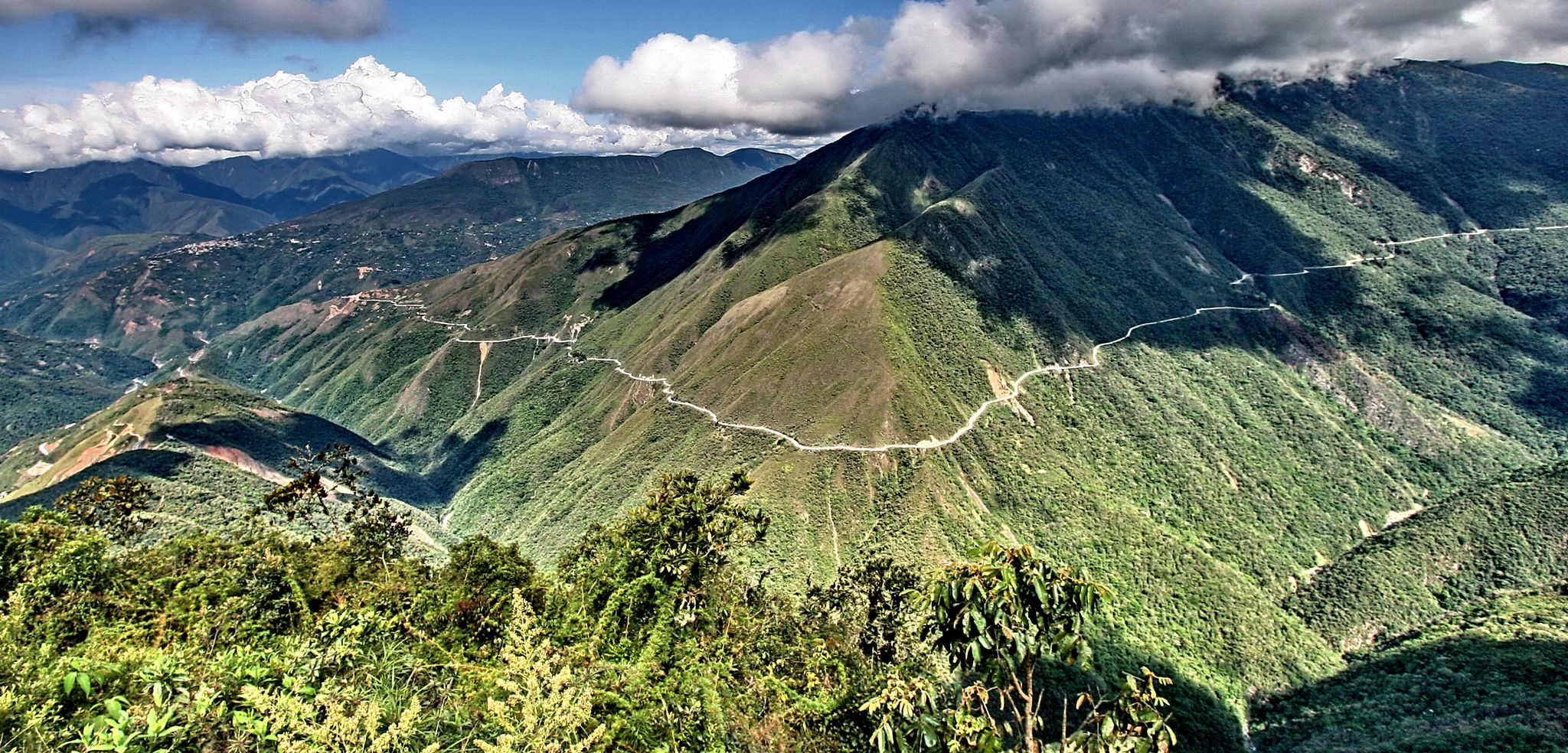
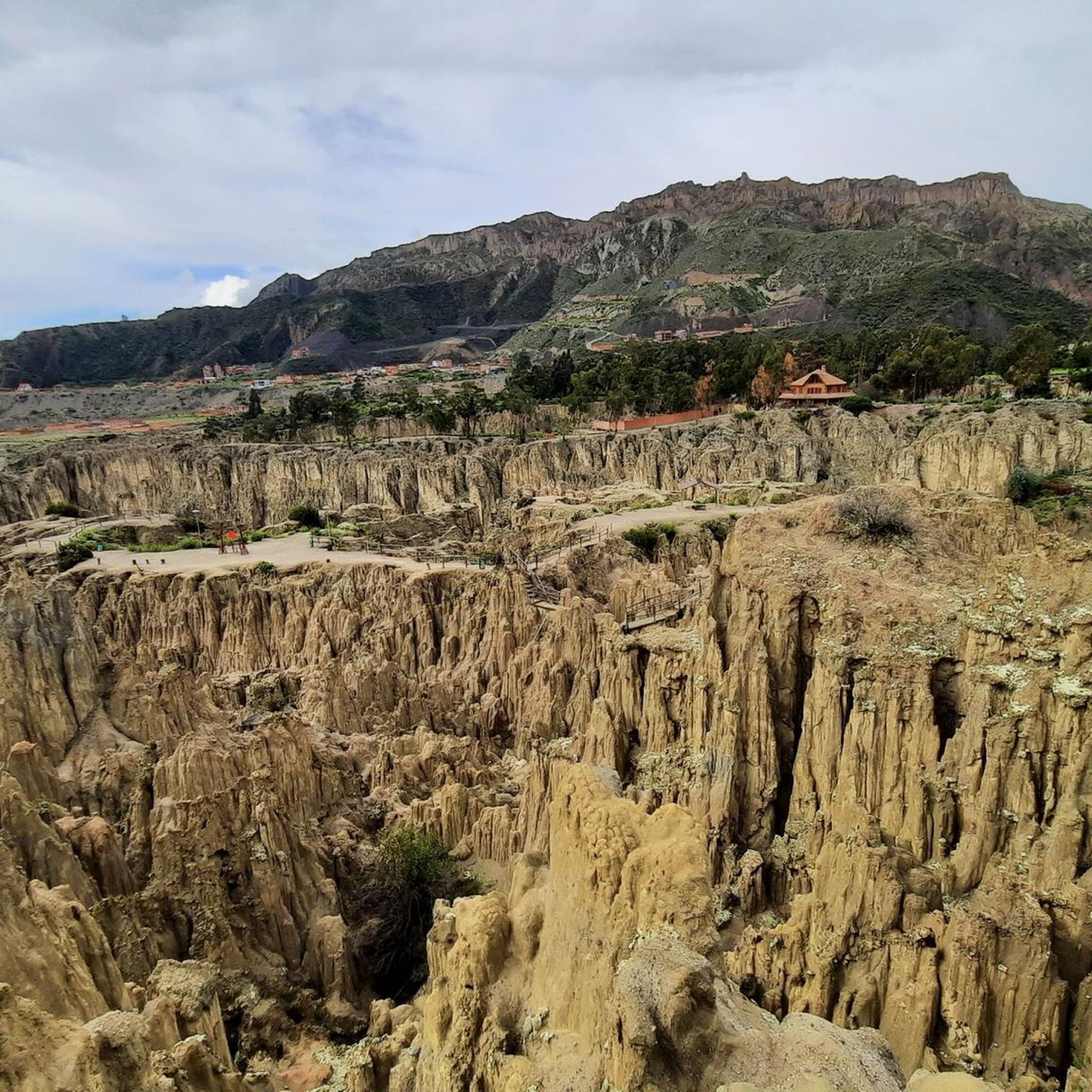
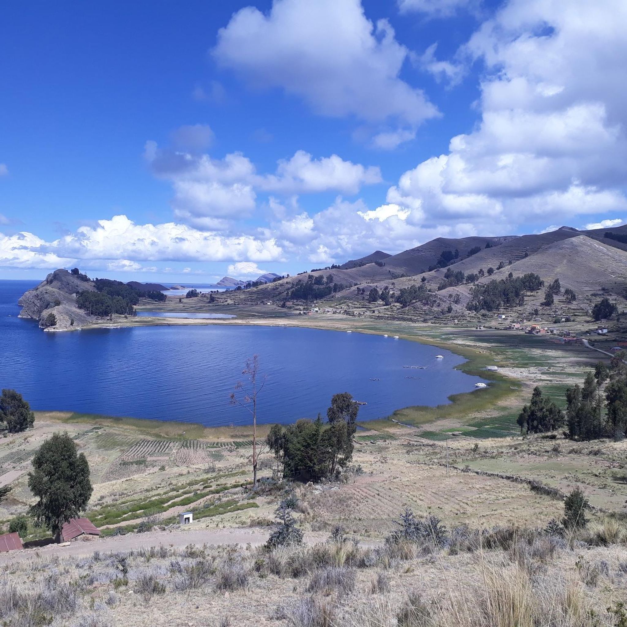
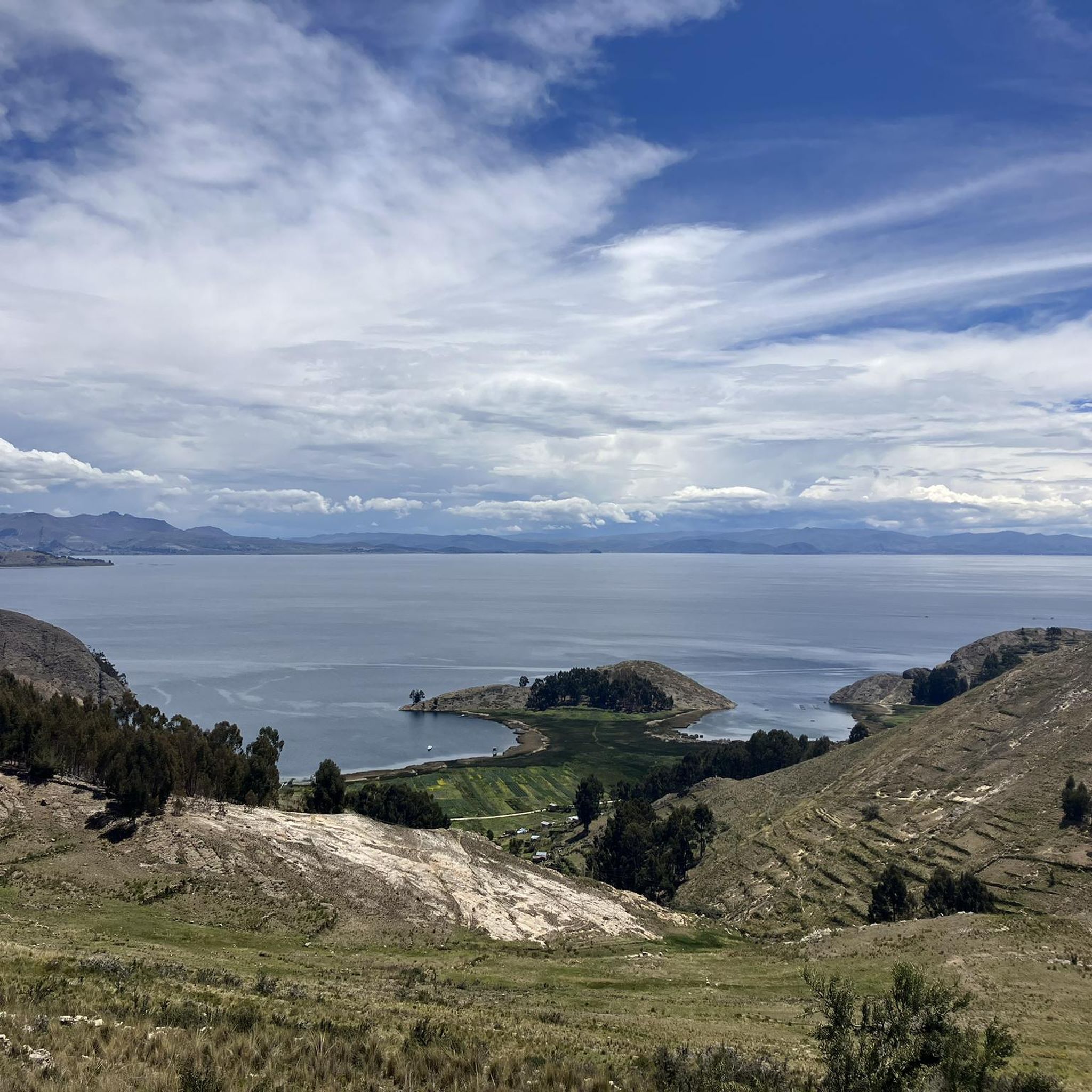
Other adventures in La Paz

Tips from the Community

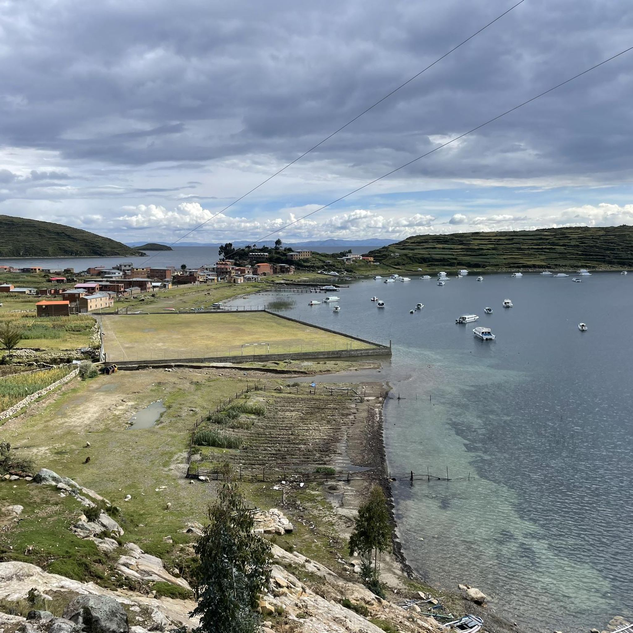
Even the path to the Chincana Temple offers spectacular views of the lake and the surrounding area. The scenery is almost Mediterranean, with small, hidden coves, fine sandy beaches, and turquoise waters, a dreamlike experience.
2
1

The trail meanders along Lake Titicaca, where the azure waters lap against the rocky shoreline in an almost unreal way. The historic site itself is a mix of ancient stone walls and a backdrop that is almost meditative. Once you reach the top, it's worth stopping for a moment to look out over the pristine landscape. If you feel like it, you can even take a refreshing swim on the shore - a rare opportunity at this altitude. But remember to bring plenty of water with you, as the height of Lake Titicaca is noticeable.
1
0

Nice ruins with a great backdrop. Also a nice place to go for a dip.
0
0

Starting point to Campo Alto at Huayna Potosí, located at approx. 4700 m.
1
0
Small glacier-fed lagoon at the foot of Huayna Potosí. It is passed on the climb to Campo Alto.
1
0
One of the largest and most researched glaciers in the Cordillera Real in Bolivia is the Zongo Glacier. It is crossed during the climb to Huayna Potosi. The glacial landscape with enormous crevasses and huge icicles is incredibly beautiful and impressive.
2
0
On the way to the summit of Huayna Potosí there is a field of penitential rice on the glacier at this point. As a rule, you can easily pass it on a well-trodden path without having direct contact with it. It looks very nice.
1
0
The high camp is located at almost 5200 m on the climb to Huayna Potosí. There are a few huts here that can be used as storage. The climb up to here is not very demanding, apart from the possible noticeable height, but this should be prevented by good acclimatization, especially if you want to continue climbing to the summit.
1
0
Frequently Asked Questions
How many mountaineering routes are available in La Paz?
There are 8 dedicated mountaineering routes in La Paz listed on komoot. These routes offer diverse experiences, from moderate ascents to challenging technical climbs within the Cordillera Real.
What are the difficulty levels of mountaineering routes in La Paz?
The routes in La Paz cater to a range of experiences. You'll find 1 moderate route and 7 difficult routes, with options for both beginners seeking high-altitude trekking and experienced climbers tackling technical ascents on peaks like Huayna Potosí.
What is the best time of year for mountaineering in La Paz?
The dry season, typically from May to September, is generally considered the best time for mountaineering in La Paz. During these months, the weather is more stable with less precipitation, offering clearer skies and better climbing conditions, though temperatures can still be very cold at high altitudes.
Are there any easier mountaineering routes suitable for beginners?
While many routes are challenging, beginners can find options for high-altitude trekking and acclimatization. The Refugio Campo Alto Roca – Huayna Potosí (6,088 m) loop from Refugio Las Rockas 5200m is rated as moderate. Additionally, peaks like Pico Austria Summit are considered technically easy day hikes, providing stunning views and aiding acclimatization without requiring advanced climbing skills.
Which routes offer the most challenging ascents for experienced mountaineers?
For experienced mountaineers seeking significant challenges, the region offers numerous difficult routes. Peaks like Illampu and the more technical ascents of Huayna Potosí, Illimani, and Condoriri provide routes with inclinations exceeding 60 degrees. An example of a difficult route is the Huayna Potosí (6,088 m) – Refugio Campo Alto Roca loop from Refugio Casa Blanca.
What natural features or landmarks can I see along the mountaineering routes?
The mountaineering routes in La Paz are rich with natural beauty. You can encounter prominent peaks like Huayna Potosí (6,088 m) and Pico Austria Summit, as well as high-altitude lakes such as Laguna Chiar Khota and Laguna Tuni. The Cordillera Real itself offers breathtaking glaciated summits and deep valleys.
Are there any circular mountaineering routes in the La Paz area?
Yes, several routes are designed as loops, allowing you to start and end at the same point. Examples include the Laguna Zongo loop from Refugio Casa Blanca, the Pico Austria Summit loop from La Rincondada, and the Pico Austria Summit loop from Refugio Condoriri.
What should I know about acclimatization for mountaineering in La Paz?
Acclimatization is crucial due to La Paz's high altitude (over 3,600 meters). The city itself serves as a natural acclimatization point. It's recommended to spend a few days in La Paz before attempting higher ascents. Shorter, easier hikes to places like Pico Austria Summit or Chacaltaya can also help your body adjust to the altitude.
What do other mountaineers enjoy most about the routes in La Paz?
The mountaineering routes in La Paz are highly rated by the komoot community, with an average score of 5.0 stars. Reviewers often praise the unparalleled access to the majestic Cordillera Real, the stunning glaciated peaks, and the diverse terrain that offers challenges for various skill levels.
Are there options for guided mountaineering tours in La Paz?
Yes, La Paz is a hub for mountaineering, and many local agencies offer guided tours for all skill levels, from basic trekking to technical ascents of 6,000-meter peaks. These tours often include equipment, transportation, and experienced guides, which is highly recommended for safety and navigation in the high-altitude environment.
Are there any historical or cultural sites near the mountaineering areas?
While the primary focus is on natural landscapes, some routes, like the Chincana Ruins, Isla del Sol loop from Hostal Phaxsi, can lead you to significant cultural sites. Isla del Sol, located in Lake Titicaca, is known for its Inca ruins and stunning views, offering a blend of outdoor activity and historical exploration.
Most popular attractions in La Paz

Get inspired with the komoot mobile app


Didn’t find what you were looking for?
Check out more Mountain Hikes & Routes throughout La Paz below and find the perfect route in your destination.
