The best walks and hikes in La Paz
4.8
(130)
917
hikers
12
hikes
Hiking in La Paz offers diverse terrain, from high-altitude Andean peaks to unique geological formations. The region is characterized by the Cordillera Real mountain range, featuring glacial landscapes and prominent summits like Huayna Potosí. Hikers can explore eroded valleys with distinctive rock formations, as well as trails leading to mountain lakes and panoramic viewpoints. The varied topography provides options for different levels of hiking experience.
Best hiking trails in La Paz
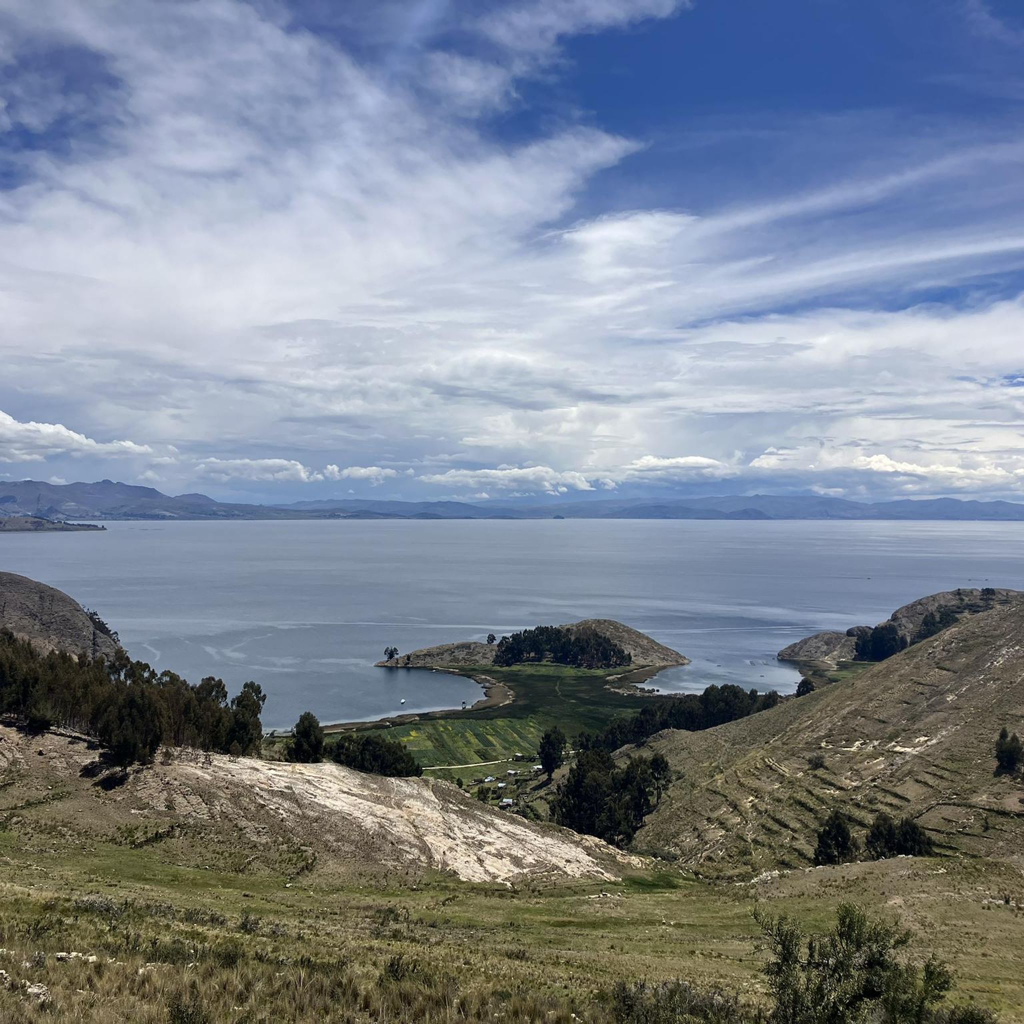
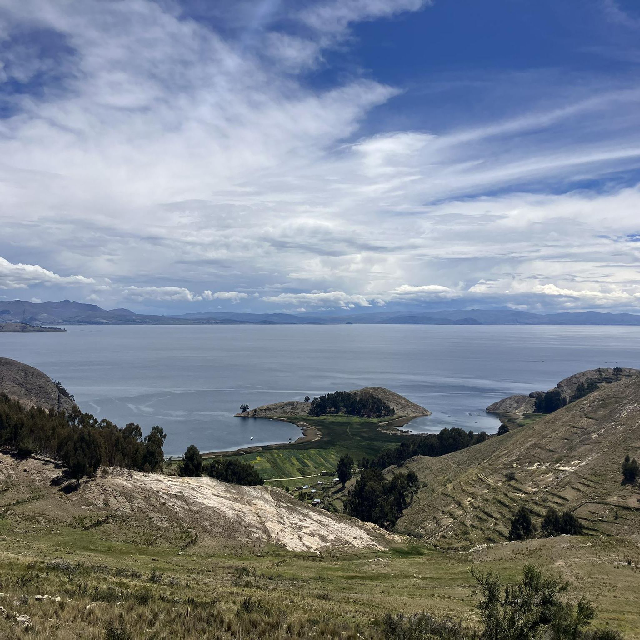
- The most popular hiking route is Playa de las Sirenas – Cerro Santa Barbara Junction loop from Isla del Sol, a 14.2 miles (22.8 km) trail that takes 6 hours 40 minutes to complete. This difficult route offers extensive views across the landscape.
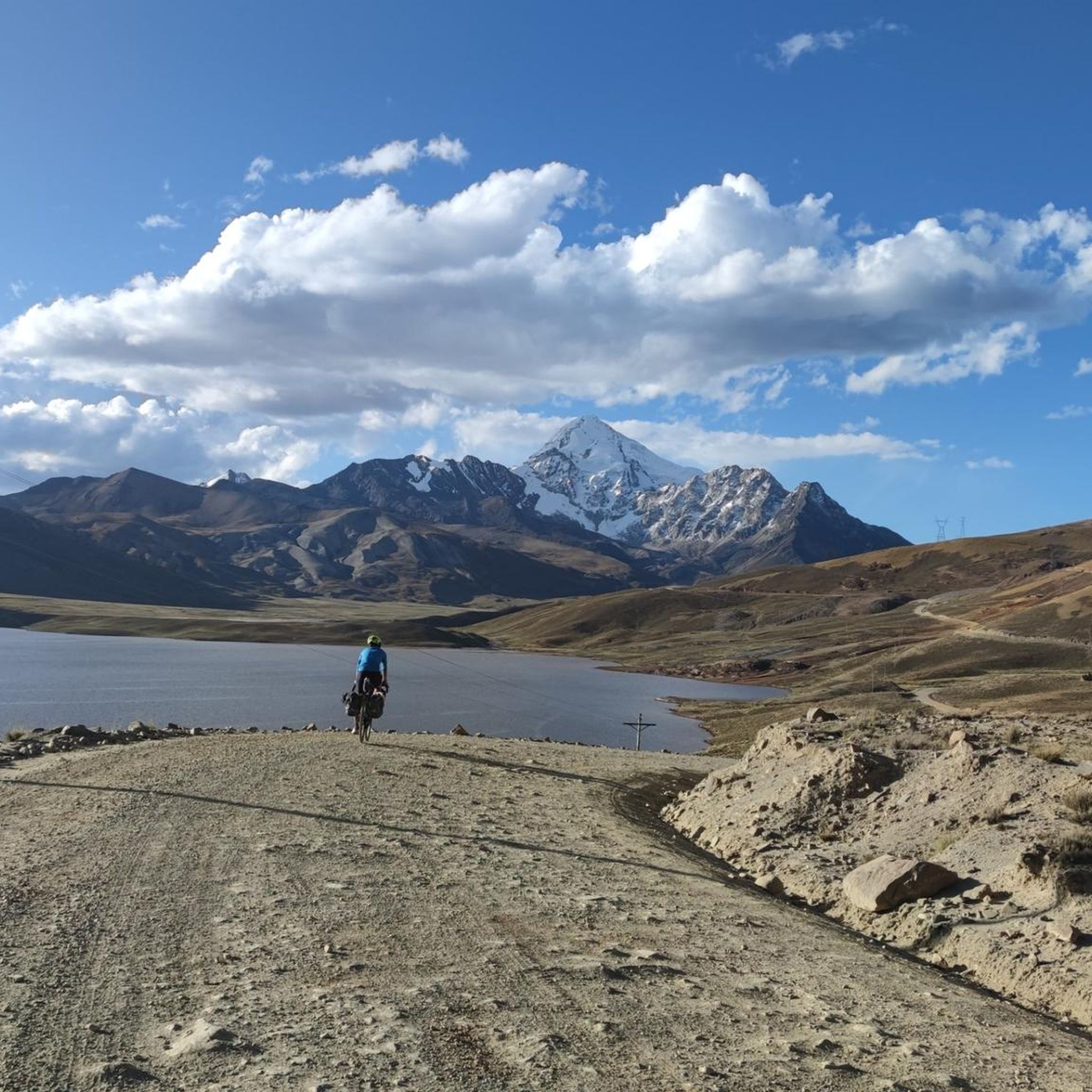
- Another top favourite among local hikers is View of Huayna Potosí – View of the Cordillera Real loop from Refugio Casa Blanca, a difficult 2.5 miles (4.1 km) path. This trail provides direct views of the iconic Huayna Potosí and the Cordillera Real.
- Local hikers also love the Pico Austria Summit – Laguna Chiar Khota loop from La Rincondada, a 6.8 miles (11.0 km) trail leading through high-altitude mountain terrain to Laguna Chiar Khota, often completed in about 5 hours 10 minutes.
- Hiking in La Paz is defined by high-altitude mountain passes, glacial lakes, and panoramic views of the Andes. The network offers options for both challenging multi-day treks and shorter, accessible day hikes.
- The routes in La Paz are highly rated by the komoot community with an average score of 4.8 stars from over 130 reviews. More than 1600 hikers have used komoot to explore La Paz's varied terrain.
Last updated: July 10, 2026
4.9
(81)
474
hikers
Hard hike. Very good fitness required. Easily-accessible paths. Suitable for all skill levels.
4.8
(28)
294
hikers
11.2km
05:54
830m
830m
Hard hike. Very good fitness required. Sure-footedness, sturdy shoes and alpine experience required.

Sign up for free
5.0
(5)
32
hikers
12.5km
06:22
850m
850m
Hard hike. Very good fitness required. Sure-footedness, sturdy shoes and alpine experience required.
4.4
(7)
28
hikers
9.30km
02:45
270m
270m
Moderate hike. Good fitness required. Easily-accessible paths. Suitable for all skill levels.
5.0
(3)
20
hikers
21.7km
09:17
960m
960m
Hard hike. Very good fitness required. Sure-footedness, sturdy shoes and alpine experience required.
5.0
(1)
18
hikers
6.89km
04:00
620m
620m
Hard hike. Good fitness required. Sure-footedness, sturdy shoes and alpine experience required.
3.7
(3)
15
hikers
10.5km
03:11
350m
340m
Moderate hike. Good fitness required. Easily-accessible paths. Suitable for all skill levels.
5.0
(1)
10
hikers
5.81km
01:51
230m
230m
Easy hike. Great for any fitness level. Easily-accessible paths. Suitable for all skill levels.
8
hikers
4.66km
01:50
170m
170m
Hard hike. Great for any fitness level. Sure-footedness, sturdy shoes and alpine experience required.
3
hikers
Hard hike. Good fitness required. Sure-footedness, sturdy shoes and alpine experience required.
Get access to more routes and recommendations from other explorers.
Sign up for free
Already have an account?
Our route recommendations are based on thousands of hikes, rides, and runs completed by other people on komoot.
Start today with a free account
Your next adventure awaits.
Login or Signup

Other adventures in La Paz

Tips from the Community


I'm planning a trip to Bolivia soon and saw this comment. How can I find more information about staying with this family?
0
0

A beautiful path has been created on the ridge, and the turnoff with a kiosk towers over the island.
1
0
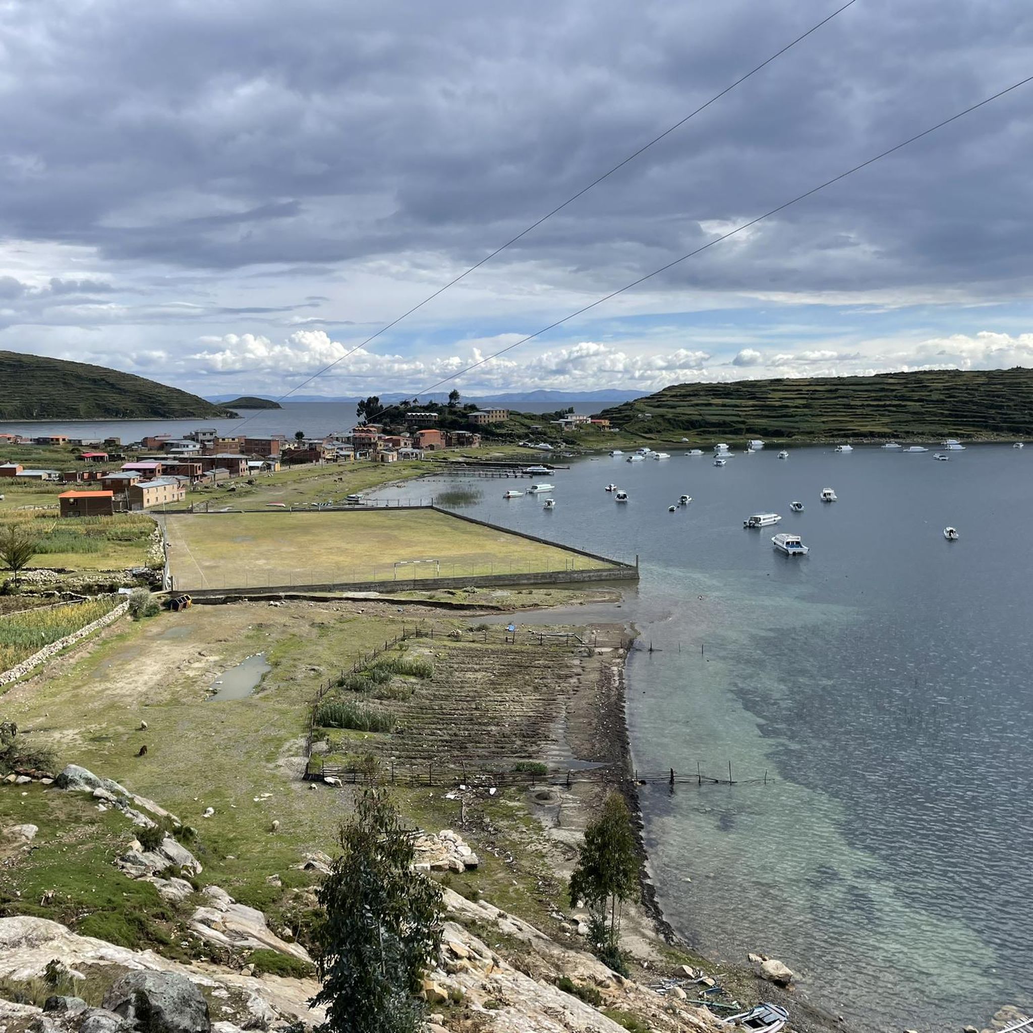
If you don't know that you are almost 4000m above sea level, you feel like you are in the Caribbean.
1
0
The Basilica of Our Lady of Copacabana is a 17th-century Spanish colonial shrine that houses the statue of the Virgen de Copacabana. The statue can be rotated; on weekends, it faces the church, and during the week, it can be seen in the Virgin's house on the first floor.
3
0
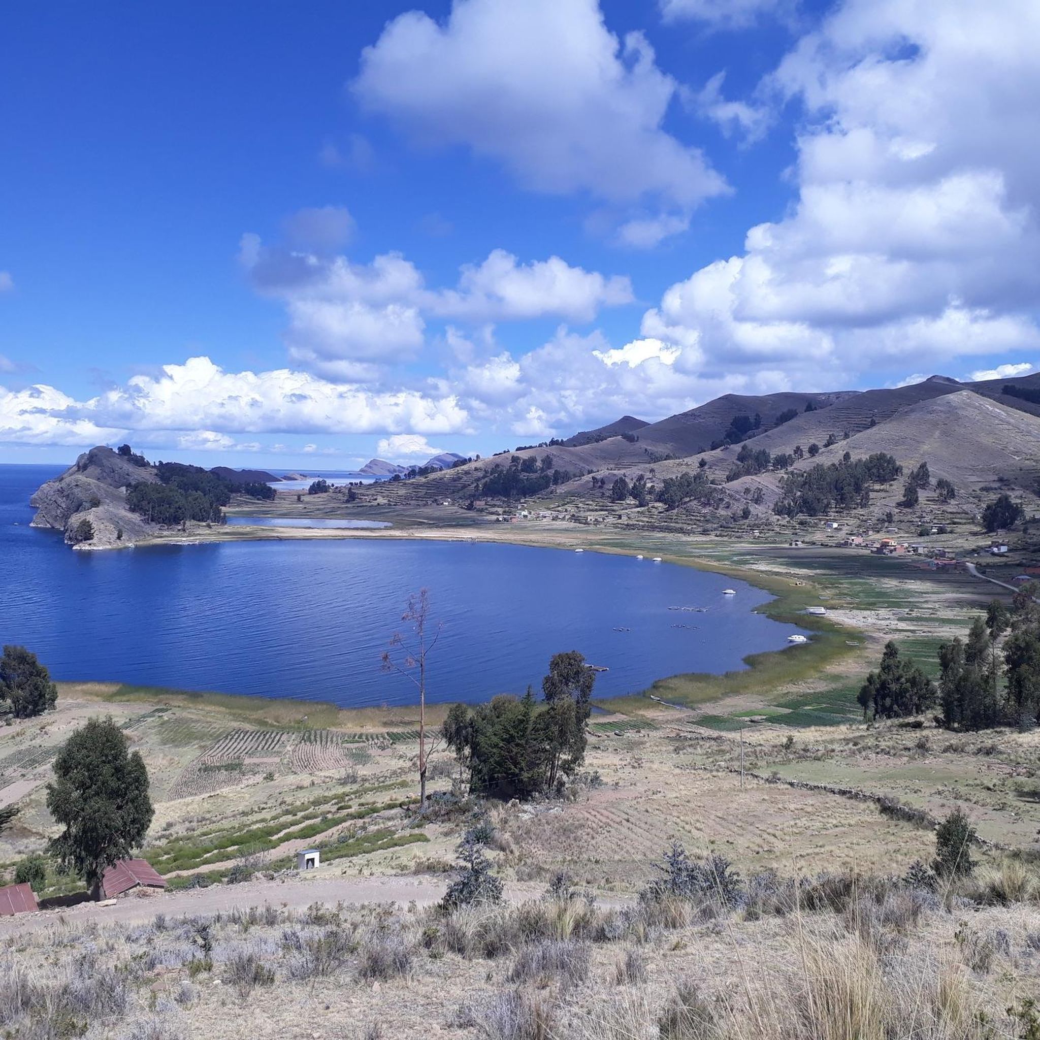
Copacabana beach is located on a crescent-shaped bay that opens to the northwest and has its own flair. The jetties that extend into the lake look anything but stable, and numerous small boats rock in the cool waters of Lake Titicaca.
3
0
The Way of the Cross was built on this hill in the 1950s when the government decided that Copacabana should have more to offer its thousands of pilgrims than just the Basilica of the Virgin Mary.
2
0
The five-aisled Catedral Basílica de Nuestra Señora de La Paz, as it is called in full, was built from March 24, 1835 under the direction of Manual Sanahuja and inaugurated in 1925. The consecration took place during the 100th anniversary celebrations of Bolivia's independence.
0
0
Frequently Asked Questions
How many hiking trails are available in La Paz?
There are over 15 hiking routes documented in La Paz, offering a diverse range of experiences from challenging high-altitude treks to more accessible day hikes. The komoot community has explored these trails over 1600 times, providing an average rating of 4.8 stars.
What kind of terrain can I expect on hikes in La Paz?
Hiking in La Paz primarily involves high-altitude mountain terrain within the Andes, featuring glacial landscapes, prominent peaks like Huayna Potosí, and unique geological formations. You'll encounter eroded valleys, mountain passes, and trails leading to stunning glacial lakes.
Are there any circular hiking routes in La Paz?
Yes, La Paz offers several circular routes. For an extensive and challenging loop, consider the Playa de las Sirenas – Cerro Santa Barbara Junction loop from Isla del Sol, which covers over 22 km. Another option is the View of Huayna Potosí – View of the Cordillera Real loop from Refugio Casa Blanca, offering direct views of the iconic Huayna Potosí.
What are some notable natural landmarks or viewpoints to see while hiking?
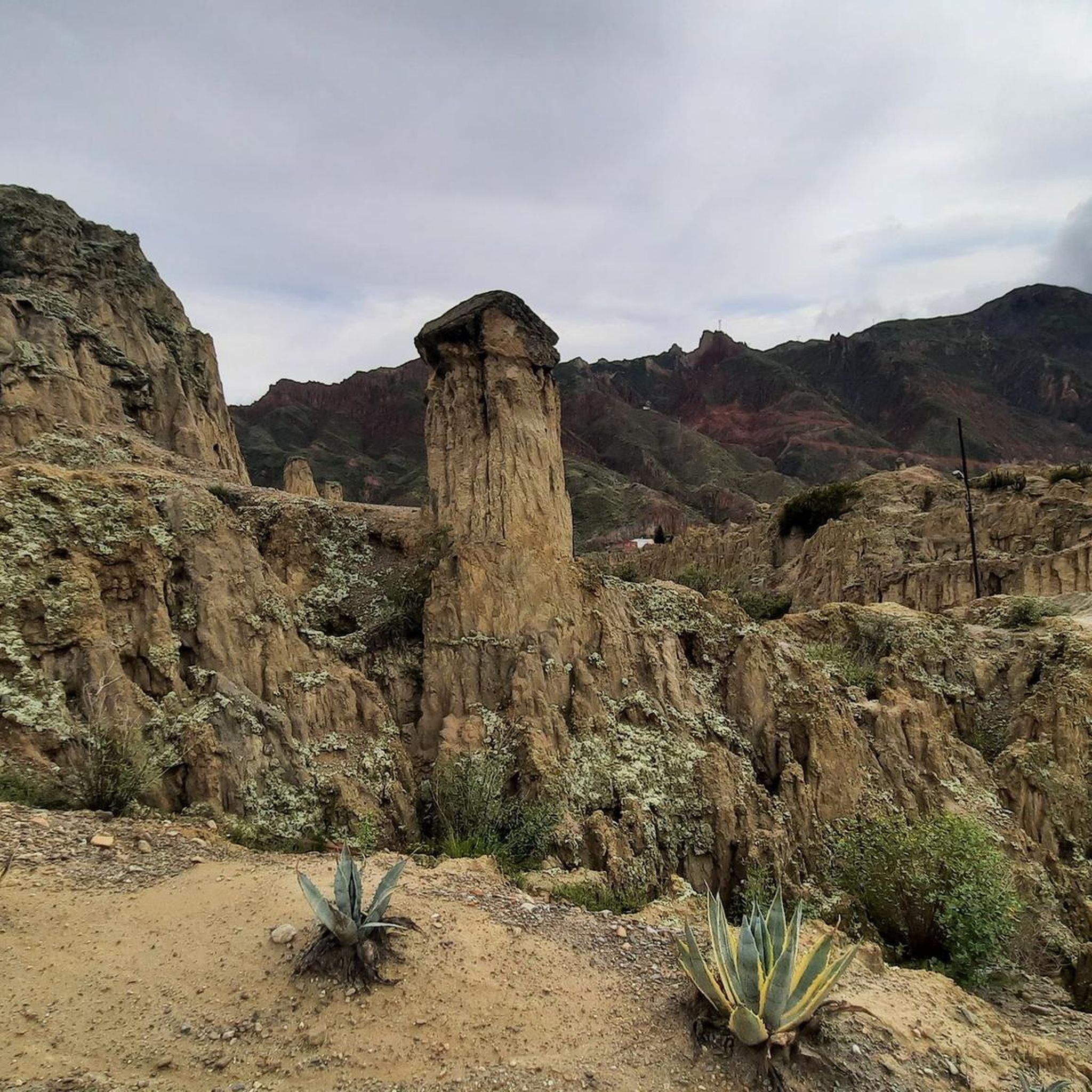
La Paz is rich in natural landmarks and viewpoints. You can explore the otherworldly eroded cliffs of Valle de la Luna, or hike to the iconic tooth-shaped Pico Austria Summit for panoramic views. The Pico Austria Summit – Laguna Chiar Khota loop from La Rincondada will take you to the beautiful Laguna Chiar Khota at the foot of Condoriri Mountain.
Are there any family-friendly hiking options in La Paz?
While many trails in La Paz are high-altitude and challenging, there are shorter, more accessible day hikes available. For specific family-friendly recommendations, it's best to check individual route descriptions for elevation gain and distance, as the region's primary characteristic is its demanding mountain environment.
What is the best time of year to go hiking in La Paz?
The dry season, typically from May to October, is generally considered the best time for hiking in La Paz. During these months, you'll experience clearer skies and more stable weather conditions, which are crucial for high-altitude treks and enjoying the panoramic mountain views.
Can I find trails that offer views of the Cordillera Real mountain range?
Absolutely. Many trails in La Paz provide stunning views of the Cordillera Real. For example, the View of Snowy Mountains – View of the Cordillera Real loop from Guides House is a moderate route specifically designed to showcase these majestic peaks.
Are there any historical or cultural sites accessible from hiking trails?
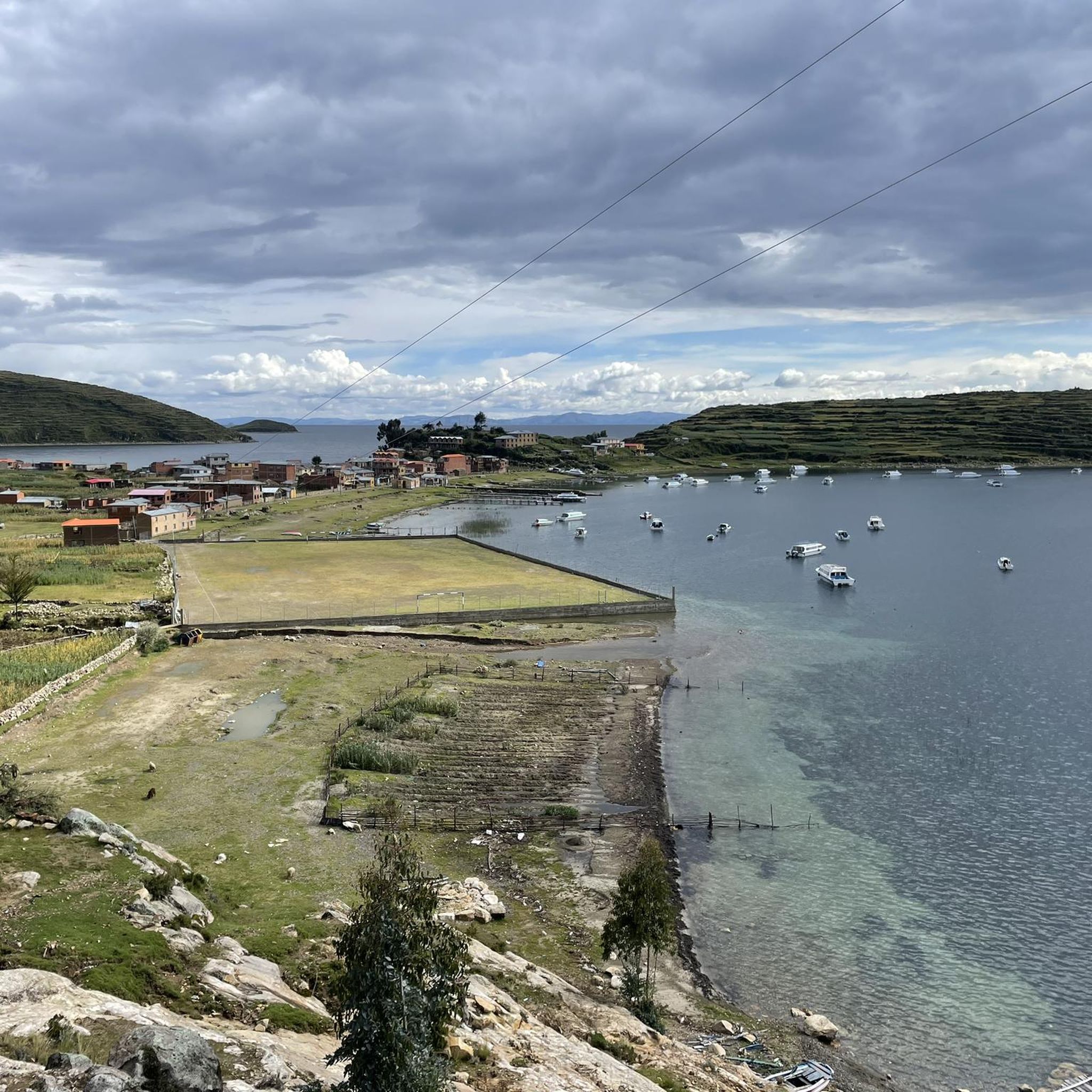
Yes, some hikes can lead you near historical sites. For instance, the Traditional Rural Houses – Cerro Santa Barbara Junction loop from Yumani offers a glimpse into traditional rural life. You can also find highlights like the Chincana Ruins on Isla del Sol, which are significant historical sites in the region.
What are some of the more challenging multi-day treks available?
For experienced hikers seeking a challenge, the El Choro Trek is a popular Inca Trail that ascends to nearly 5000 meters before descending into subtropical jungle. While not listed in the immediate komoot guide data, it exemplifies the multi-day trekking opportunities in the broader La Paz region. Within komoot, routes like the View of Huayna Potosí – View of the Cordillera Real loop from Refugio Nuevo Llaulini offer significant elevation gain and distance.
What do other hikers say about the trails in La Paz?
The trails in La Paz are highly regarded by the komoot community, with an average rating of 4.8 stars from over 130 reviews. Hikers frequently praise the breathtaking high-altitude mountain scenery, the challenging yet rewarding ascents, and the unique geological formations that make the region a truly memorable hiking destination.
Are there any trails that lead to glacial lagoons?
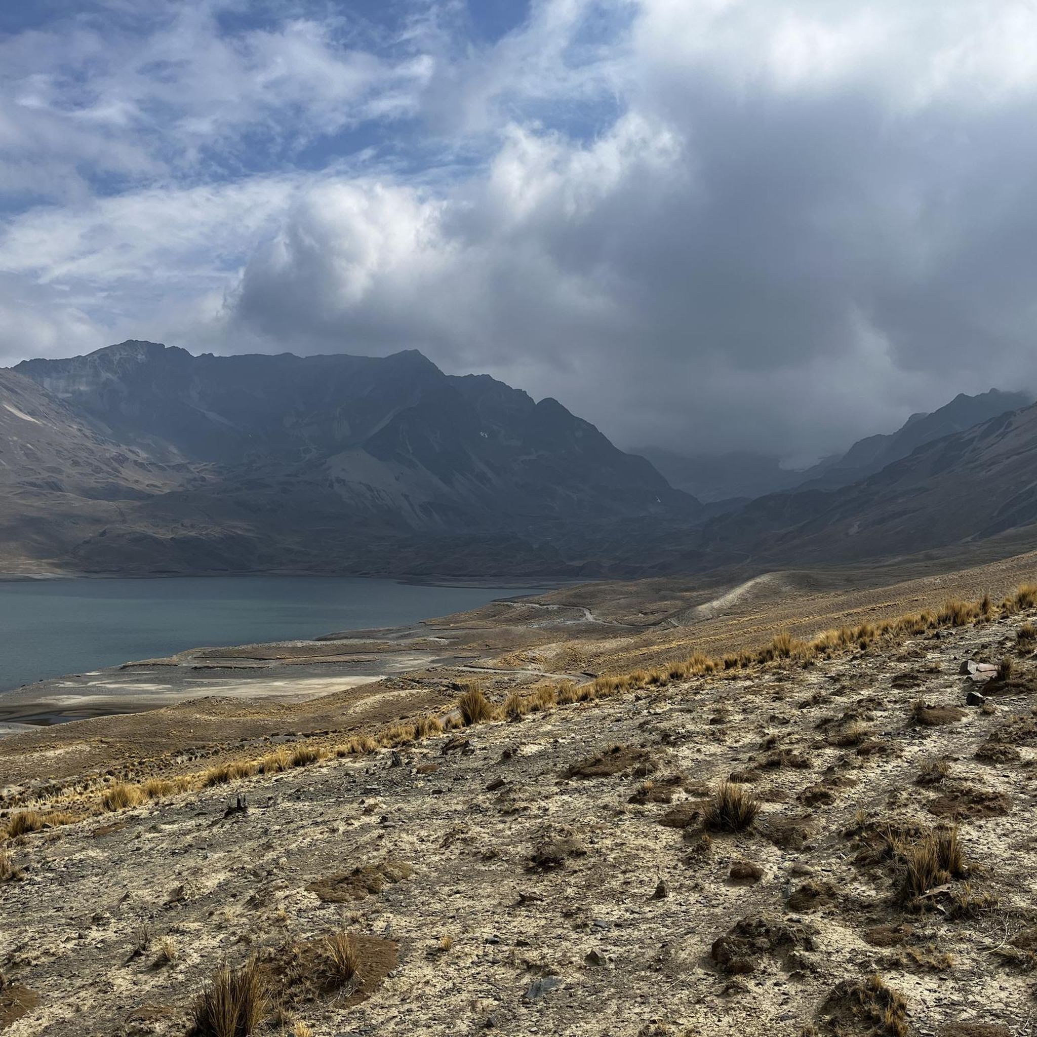
Yes, several trails in La Paz lead to stunning glacial lagoons. The Laguna Chiar Khota – Pico Austria Summit loop from La Rincondada is an excellent option that takes you to Laguna Chiar Khota, nestled at the foot of Condoriri Mountain, offering spectacular views of the surrounding peaks.
What is the highest point I can reach on a hike in La Paz?
You can reach significant altitudes on hikes in La Paz. The Paso Chacoti (5150 m) – Pico Austria Summit loop from Refugio Condoriri will take you to Paso Chacoti at 5150 meters, offering an incredible high-altitude experience and views of the surrounding peaks.
Most popular attractions in La Paz

Get inspired with the komoot mobile app


Didn’t find what you were looking for?
Check out more Hikes throughout La Paz below and find the perfect route in your destination.
Explore more
Browse the best Hikes in other regions.
