The best road cycling routes in La Paz
26
riders
3
rides
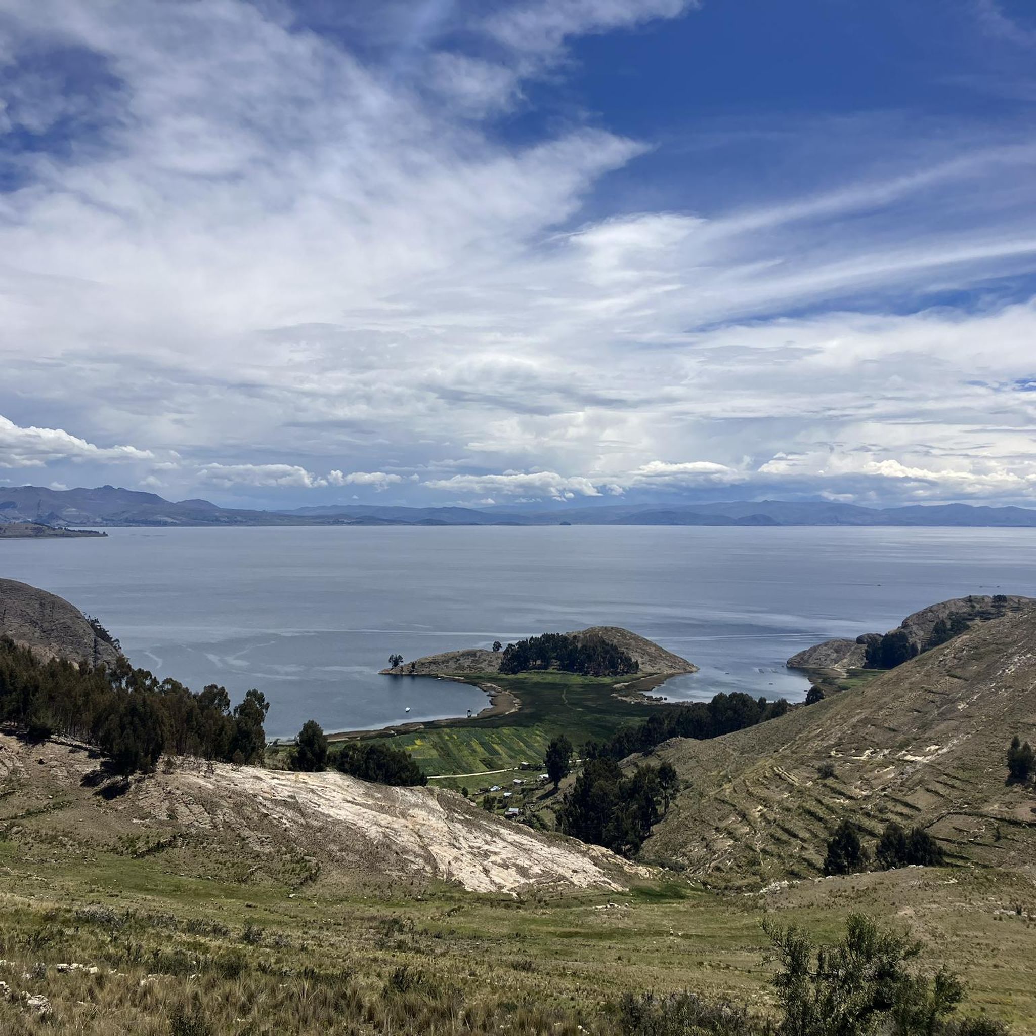
Road cycling in La Paz, Bolivia, offers challenging routes through high-altitude Andean landscapes. The terrain is characterized by significant elevation changes, with routes often following river valleys and ascending towards mountain passes. Cyclists can expect a mix of paved surfaces and sections that may transition to unpaved, reflecting the region's diverse topography. These routes provide views of the surrounding mountains and natural features, demanding good physical condition due to the altitude and climbs.
Best road cycling routes in La Paz
- The most popular road cycling route is Río de La Paz – Laguna Pacajes loop from Universidad Mayor de San Andrès, a 29.4 miles (47.3 km) trail that takes 2 hours 53 minutes to complete. This difficult route features substantial elevation gain, ascending over 3,600 feet.
- Another top favourite among local road cyclists is Río Irpavi – Río de La Paz loop from Calacoto, a moderate 11.7 miles (18.8 km) path. This route follows river courses, offering a less strenuous option with over 1,200 feet of elevation gain.
- Local road cyclists also love the Río de La Paz – Laguna Pacajes loop from Achumani, a 29.4 miles (47.4 km) trail leading through high-altitude river valleys, often completed in about 2 hours 46 minutes.
- Road cycling in La Paz is defined by high-altitude river valleys, significant mountain ascents, and views of the Andean landscape. The network offers options for both moderate and difficult ability levels.
- The guide includes highly-rated routes that showcase the best of the region's landscape. More than 20 road cyclists have used komoot to explore La Paz's varied terrain.
Last updated: July 10, 2026
10
riders
47.1km
02:53
1,120m
1,120m
Hard road ride. Very good fitness required. Some segments of this route may be unpaved and difficult to ride.
9
riders
18.4km
01:01
400m
400m
Moderate road ride. Good fitness required. Mostly well-paved surfaces and easy to ride.

Sign up for free
7
riders
47.1km
02:45
1,010m
1,010m
Hard road ride. Very good fitness required. Some segments of this route may be unpaved and difficult to ride.
Our route recommendations are based on thousands of hikes, rides, and runs completed by other people on komoot.
Start today with a free account
Your next adventure awaits.
Login or Signup

Other adventures in La Paz

Frequently Asked Questions
What is the typical terrain like for road cycling in La Paz, Bolivia?
Road cycling in La Paz, Bolivia, is characterized by high-altitude Andean landscapes with significant elevation changes. Routes often follow river valleys and ascend towards mountain passes. You can expect a mix of paved surfaces, though some sections may transition to unpaved, reflecting the region's diverse topography. The rides offer dramatic views of the surrounding mountains and natural features.
Are there any easy road cycling routes in La Paz?
While many routes in La Paz are challenging due to the altitude and climbs, there are options for varying fitness levels. For a less strenuous ride, consider the Río Irpavi – Río de La Paz loop from Calacoto. This moderate 11.7-mile (18.8 km) path follows river courses and features over 1,200 feet of elevation gain, making it a good choice for those seeking a more accessible experience.
What kind of elevation changes can I expect on road cycling routes in La Paz?
Road cycling in La Paz involves substantial elevation changes due to its mountainous Andean setting. For example, the difficult Río de La Paz – Laguna Pacajes loop from Universidad Mayor de San Andrès ascends over 3,600 feet (1,100 meters) over its 29.4 miles (47.3 km). Even moderate routes like the Río Irpavi – Río de La Paz loop from Calacoto include over 1,200 feet (390 meters) of climbing.
Are there any longer, more challenging road cycling loops in the region?
Yes, for experienced cyclists seeking a challenge, the Río de La Paz – Laguna Pacajes loop from Universidad Mayor de San Andrès is a difficult 29.4-mile (47.3 km) route with over 3,600 feet of elevation gain. Another similar option is the Río de La Paz – Laguna Pacajes loop from Achumani, which covers 29.4 miles (47.4 km) and includes over 3,300 feet of ascent.
What natural features or landmarks can I see along road cycling routes in La Paz?
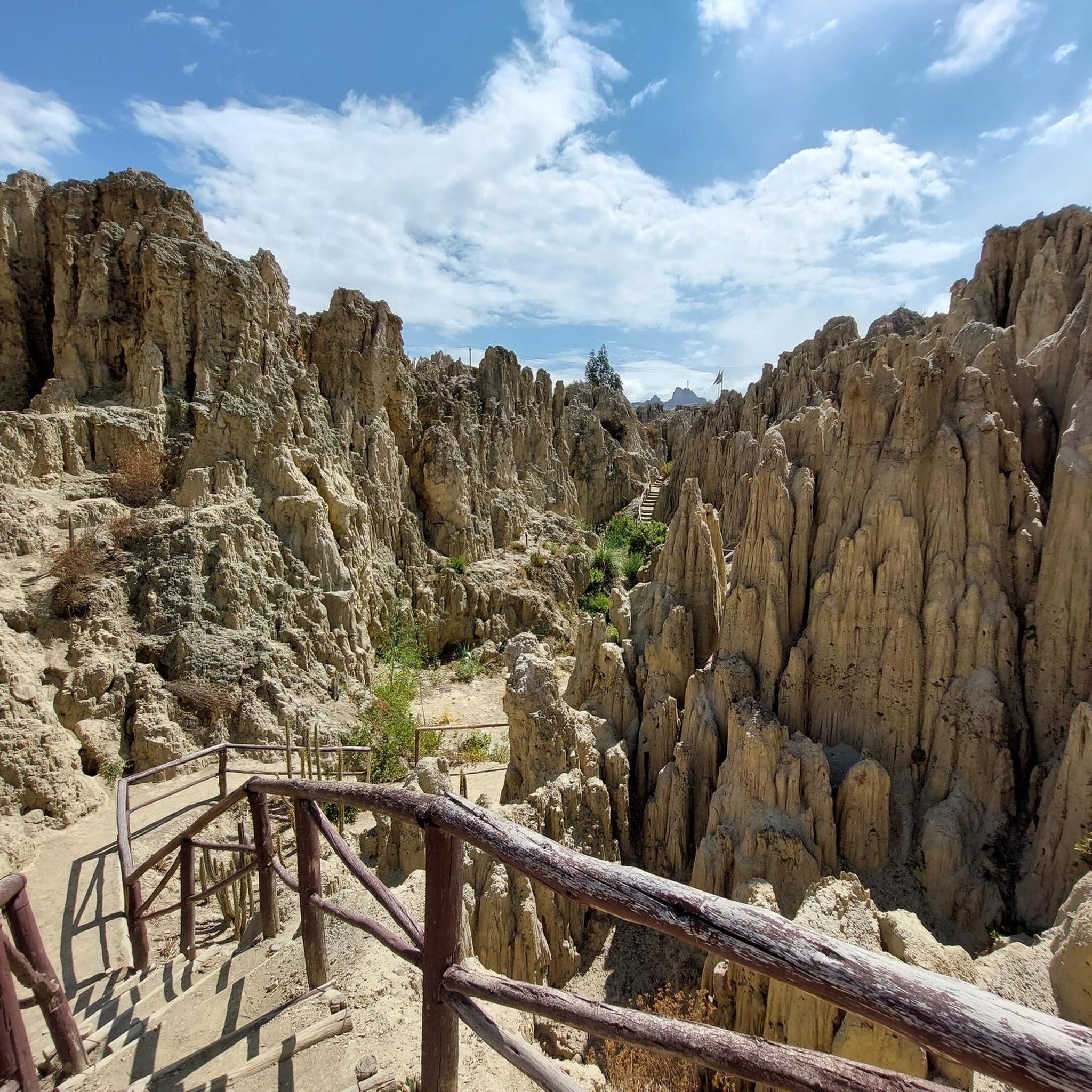
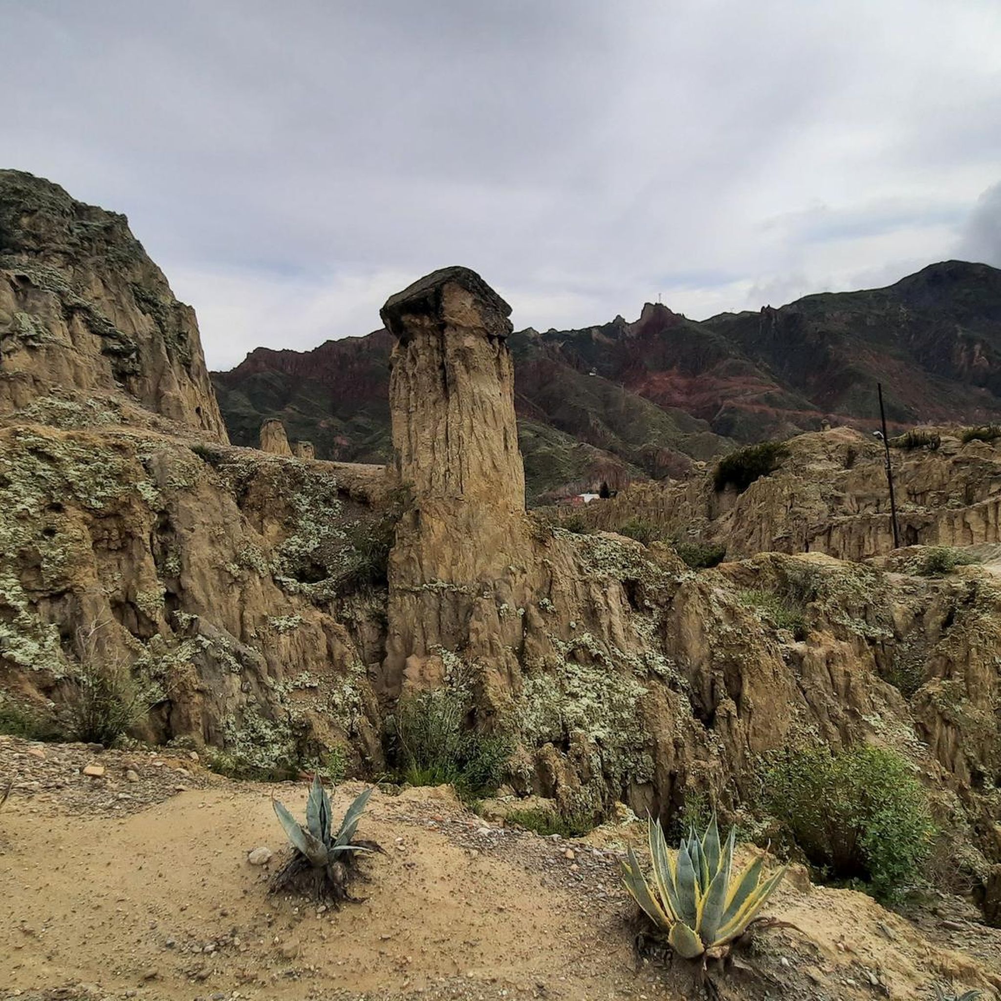
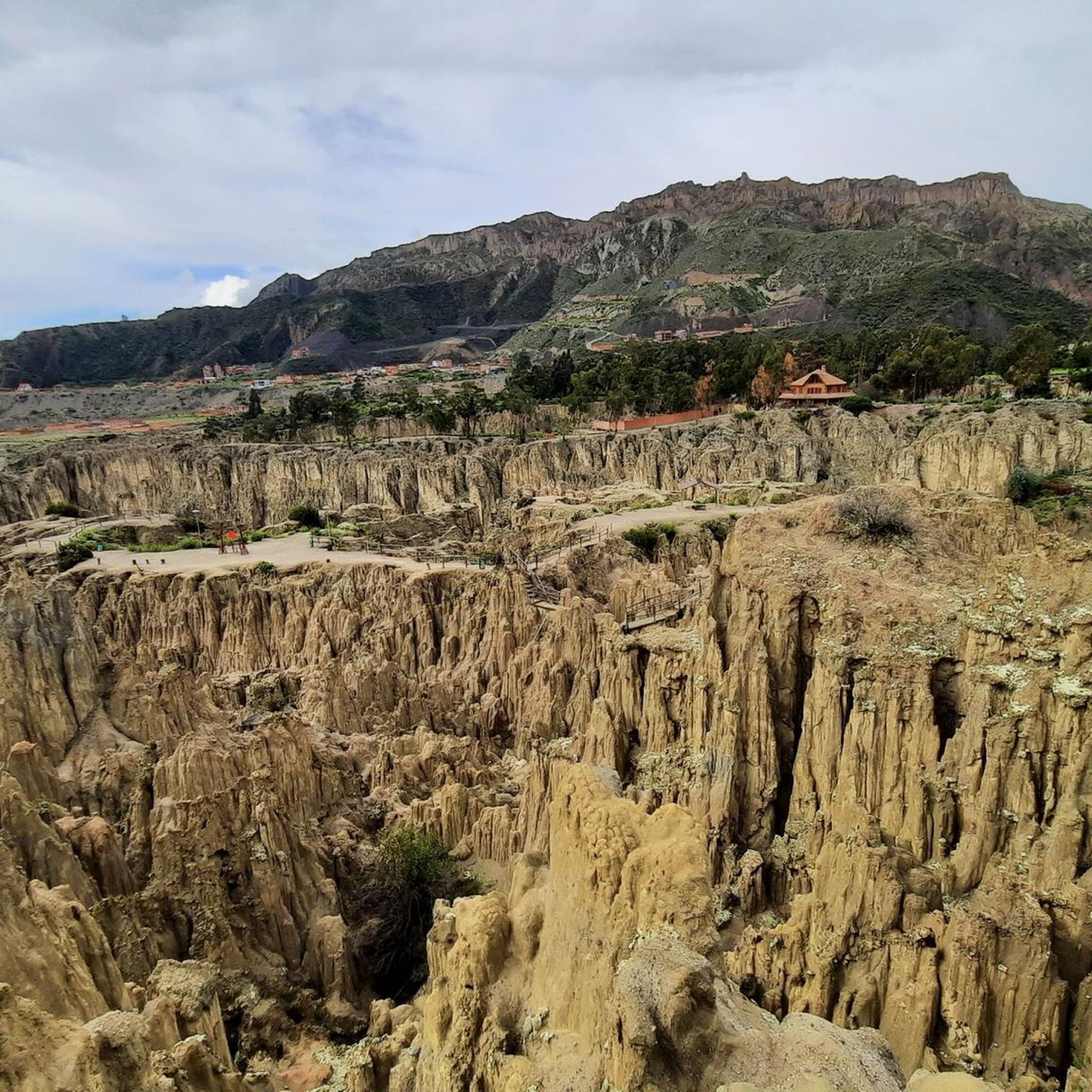
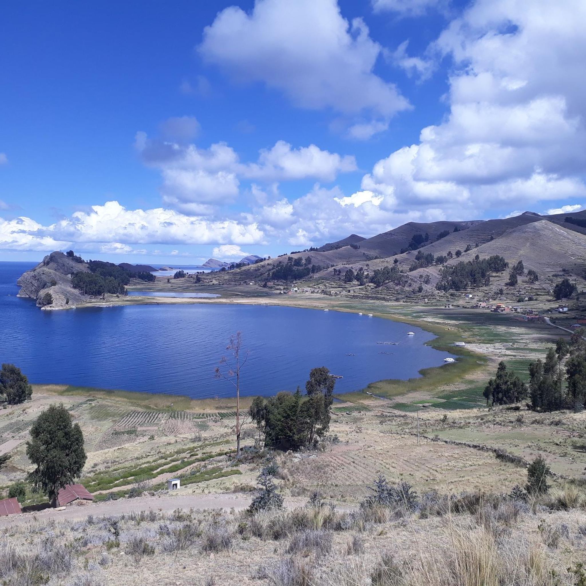
The road cycling routes in La Paz offer views of the dramatic Andean landscape. While riding, you might encounter natural monuments like Valle de la Luna (Moon Valley) with its unique geological formations. The routes also often follow river valleys, providing scenic vistas of the high-altitude environment. The nearby region also features beautiful lakes such as Laguna Chiar Khota and Laguna Tuni.
Are there any historical sites or cultural attractions near the cycling routes?
Yes, the La Paz area is rich in historical and cultural sites. While cycling, you might be near significant landmarks such as Pedro Domingo Murillo Square, the Palacio Quemado (Presidential Palace), and the Metropolitan Cathedral Basilica of Our Lady of Peace. Further afield, you can find ancient ruins like the Chincana Ruins on Isla del Sol, offering a glimpse into the region's rich history.
What should I know about road cycling at high altitude in La Paz?
Road cycling in La Paz involves significant high-altitude exposure, with starting points often around 4,700 meters (15,000 feet) at places like La Cumbre. It's crucial to be well-acclimatized to the altitude before undertaking strenuous rides. Hydration is key, and being aware of symptoms of altitude sickness is important. The thinner air will make climbs more challenging, so a good physical condition is recommended.
Is the famous 'Death Road' suitable for road cycling?
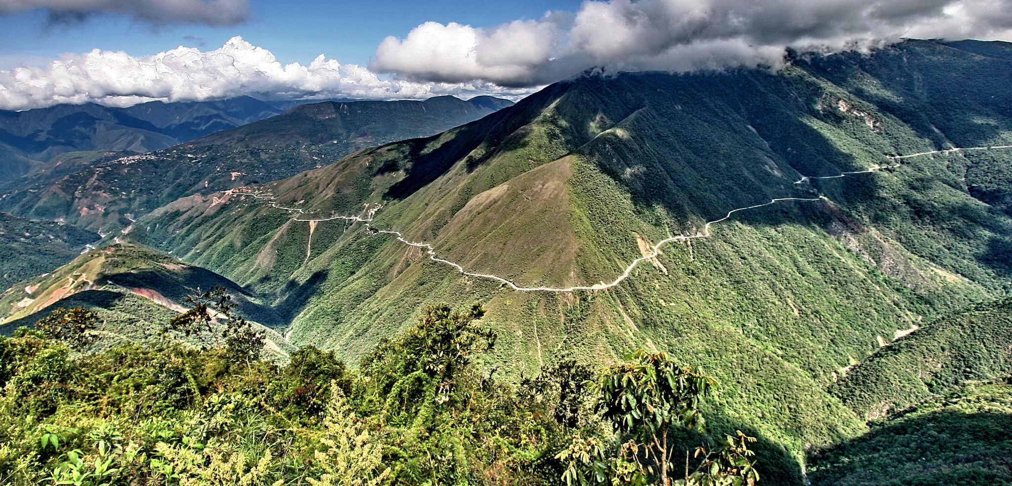
The 'Death Road' (North Yungas Road) is primarily known as a thrilling downhill mountain biking experience due to its unpaved sections and extreme conditions. While historically a vehicle road, its current use for tourism is largely focused on mountain biking. Traditional road bikes are generally not suitable for the challenging, often unpaved terrain of the Death Road itself. This guide focuses on dedicated road cycling routes with more suitable surfaces.
What is the best time of year for road cycling in La Paz?
The dry season, typically from May to October, is generally considered the best time for road cycling in La Paz. During these months, you can expect clearer skies and less rainfall, which makes for more pleasant riding conditions and better visibility of the stunning Andean landscapes. However, even in the dry season, weather can be unpredictable at high altitudes, so always be prepared for changing conditions.
Are there any loop trails for road cycling in La Paz?
Yes, several road cycling routes in La Paz are designed as loops. For instance, both the Río de La Paz – Laguna Pacajes loop from Universidad Mayor de San Andrès and the Río de La Paz – Laguna Pacajes loop from Achumani offer extensive loop experiences. The Río Irpavi – Río de La Paz loop from Calacoto is another popular loop option, providing a moderate ride.
What kind of views can I expect on the road cycling routes?
The road cycling routes in La Paz offer breathtaking views of the high-altitude Andean mountains, often with snow-capped peaks in the distance. As you descend into river valleys, you'll witness dramatic transitions in scenery, from arid mountain landscapes to greener, more temperate zones. The routes provide panoramic vistas of the unique topography surrounding La Paz.
Most popular attractions in La Paz

Get inspired with the komoot mobile app


Didn’t find what you were looking for?
Check out more Road cycling routes throughout La Paz below and find the perfect route in your destination.
