The best running trails around Blaenrheidol
4.0
(4)
345
runners
49
runs
Jogging around Blaenrheidol offers diverse terrain within the Cambrian Mountains of Mid Wales, characterized by rugged hill ridges, sheltered valleys, and extensive upland areas. The region features the Rheidol Valley, which includes woodlands and fertile pastures, alongside numerous lakes and reservoirs like Llyn Blaenmelindwr and Nant-y-moch. Significant woodland areas, such as the sessile oak woodland at Coed Rheidol National Nature Reserve, provide shaded running routes. This landscape provides a variety of running experiences, from challenging mountain trails to scenic valley…
Last updated: August 14, 2026
33
runners
24.7km
02:47
480m
480m
Hard run. Very good fitness required. Mostly paved surfaces. Suitable for all skill levels.
19
runners
21.1km
02:41
570m
560m
Hard run. Very good fitness required. Mostly paved surfaces. Suitable for all skill levels.

Sign up for free
7
runners
8.06km
00:59
320m
320m
Hard run. Very good fitness required. Mostly paved surfaces. Suitable for all skill levels.
5
runners
6.88km
00:45
130m
130m
Moderate run. Good fitness required. Mostly paved surfaces. Suitable for all skill levels.
6
runners
12.3km
01:26
320m
320m
Hard run. Very good fitness required. Mostly paved surfaces. Suitable for all skill levels.
Get access to more routes and recommendations from other explorers.
Sign up for free
Already have an account?
Our route recommendations are based on thousands of hikes, rides, and runs completed by other people on komoot.
Start today with a free account
Your next adventure awaits.
Login or Signup
Popular around Blaenrheidol
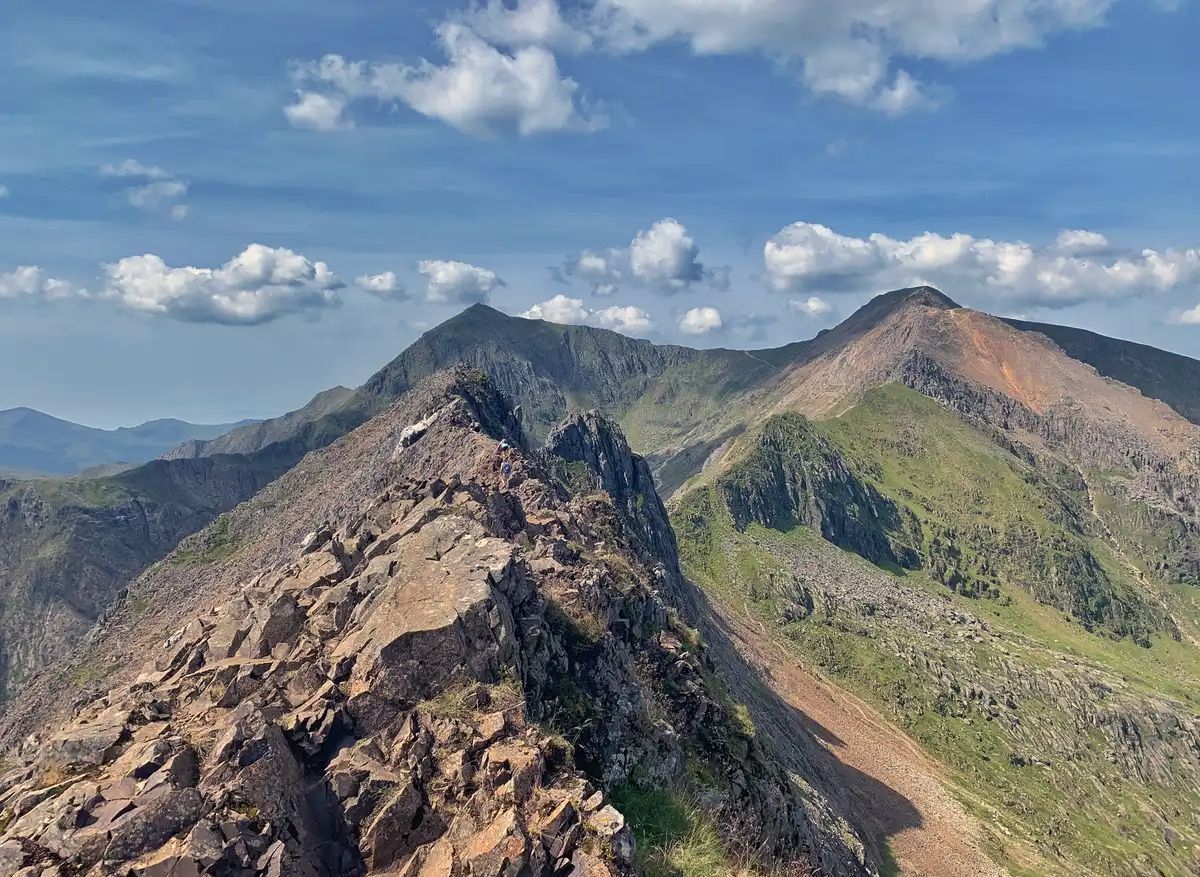
The Dragon's Back – running the spine of Wales

O Fon i Fynwy — Exploring Wales on foot from top to bottom
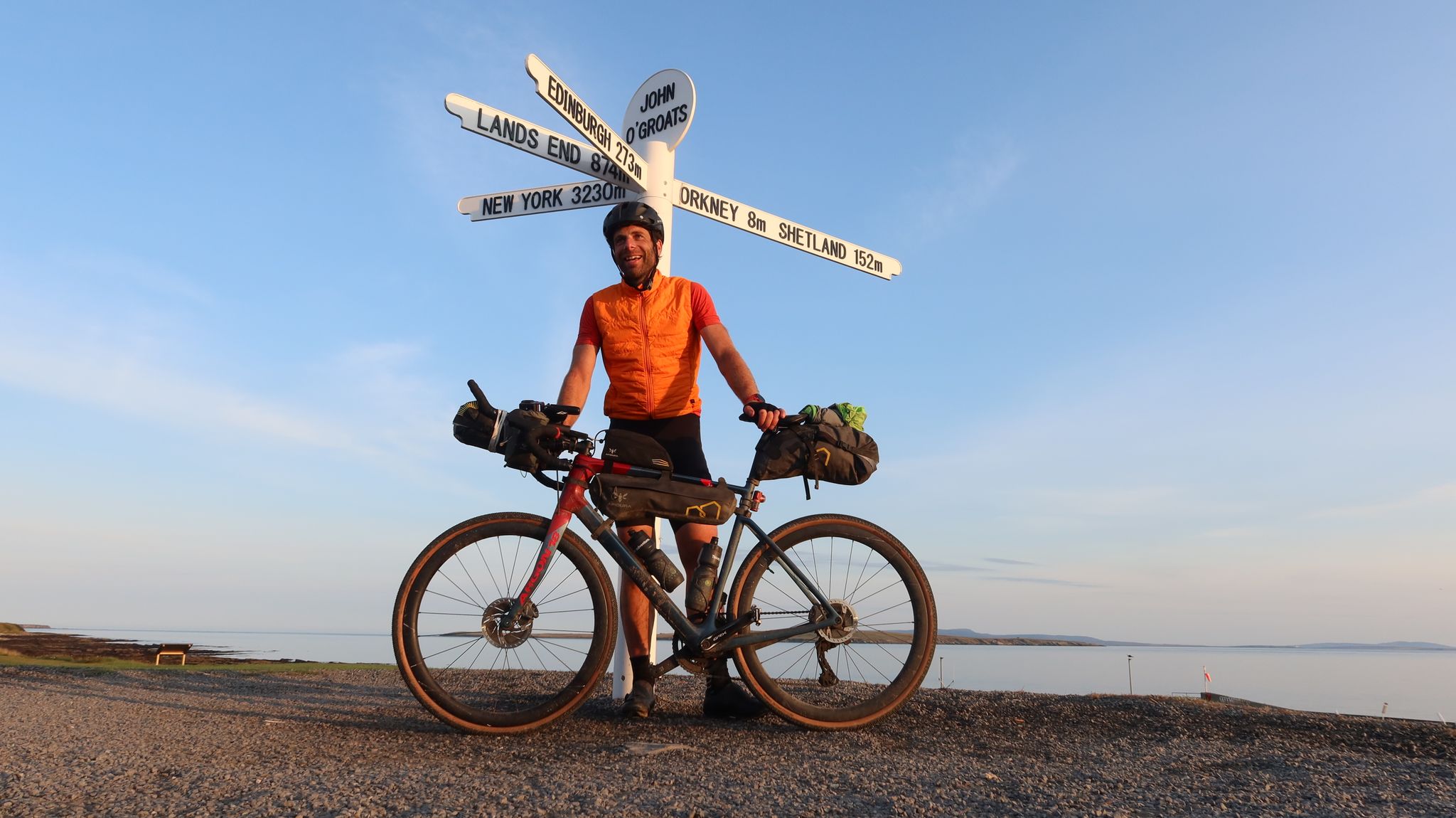
GBDURO 2021 — Gravel racing Land's End to John O'Groats
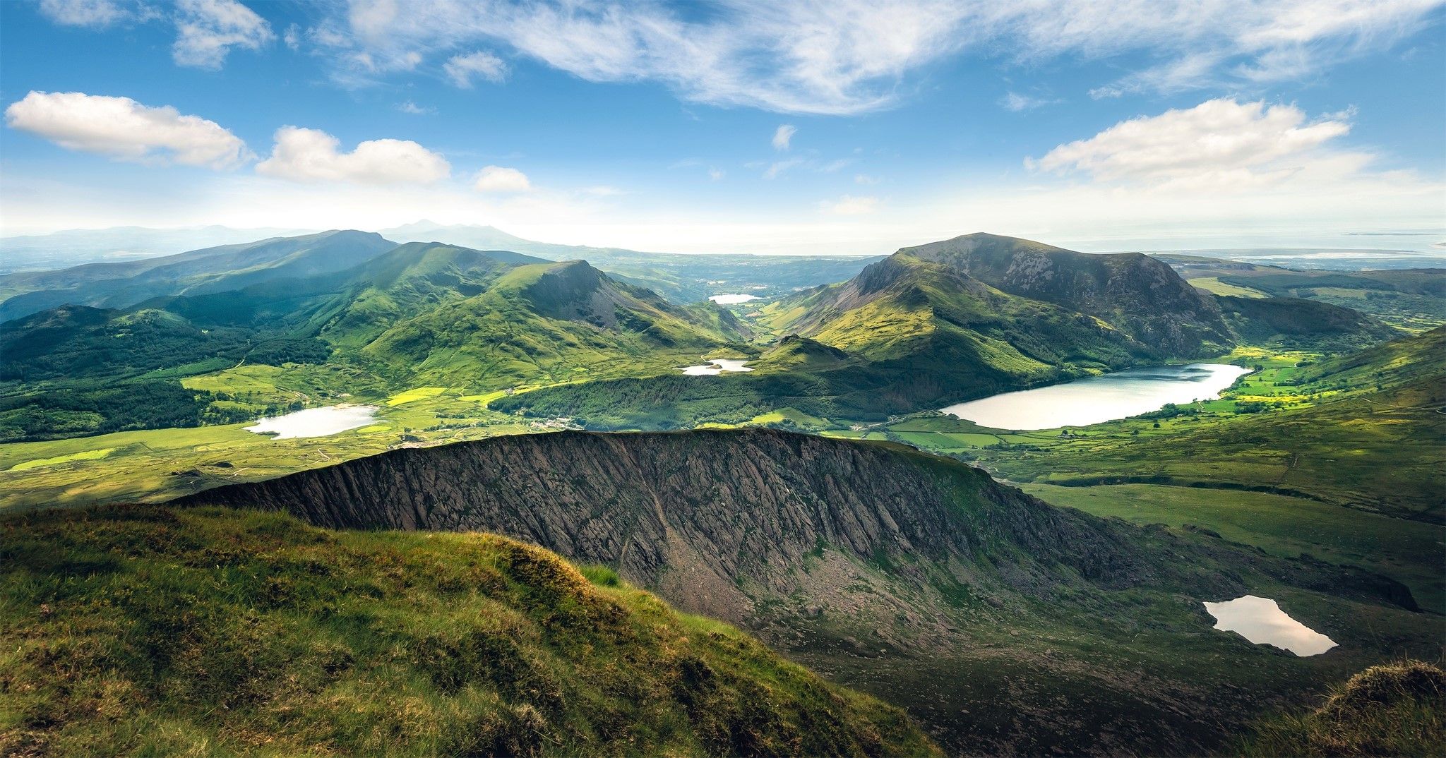
Cambrian Way — Hike the highest, wildest and most beautiful trail in Wales
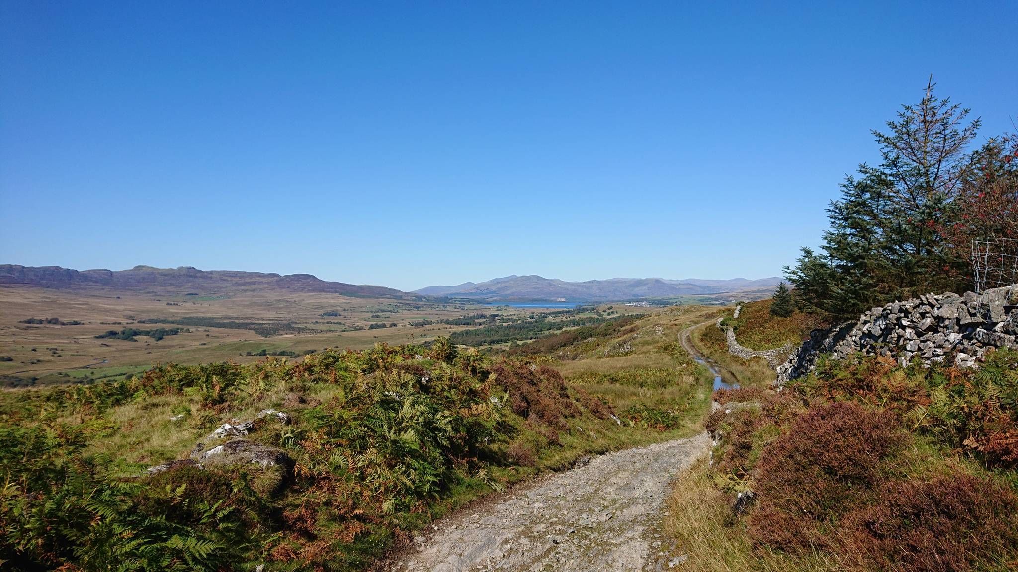
Sarn Helen — Ride in the footsteps of Romans across Wales
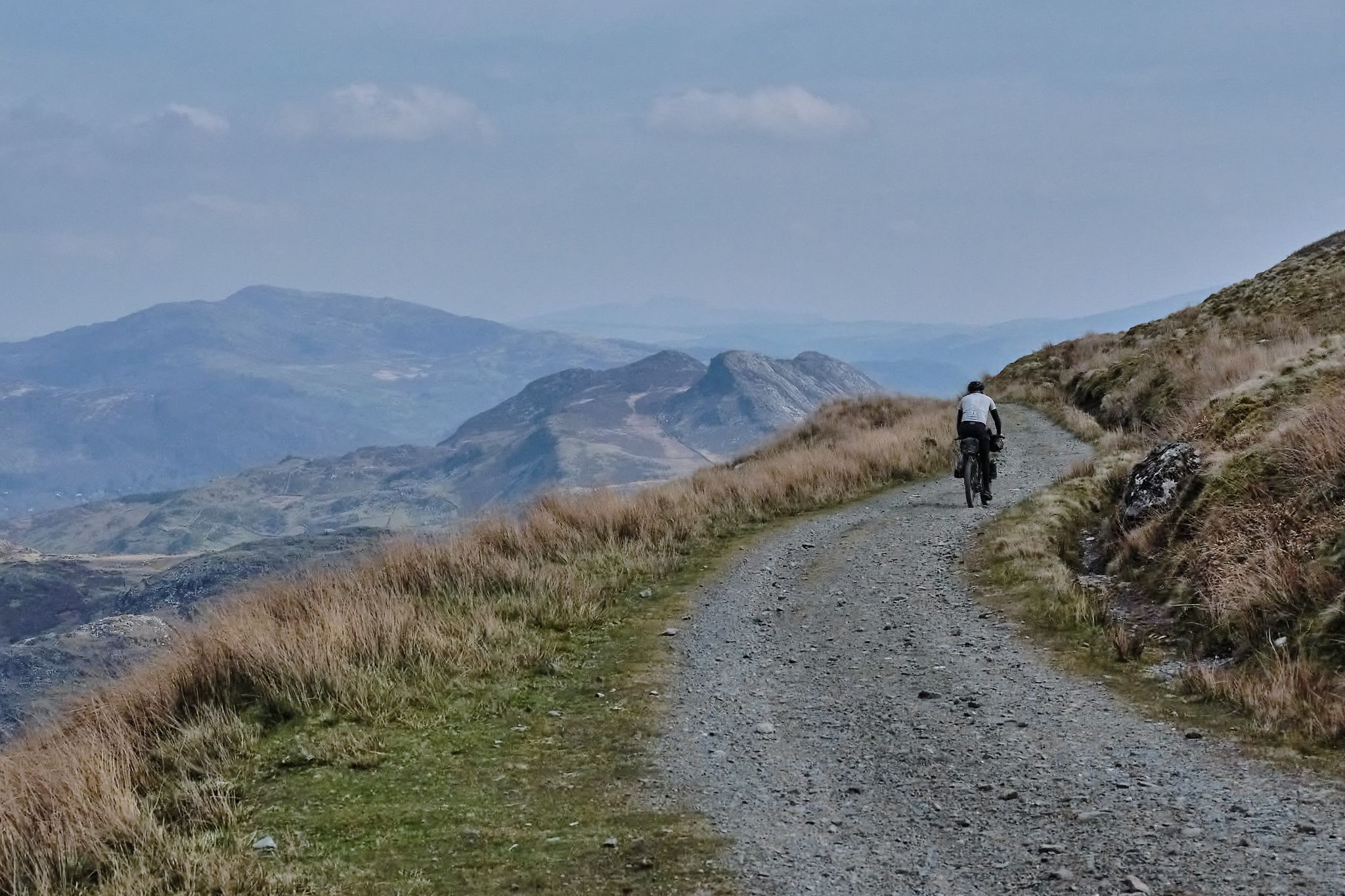
Bikepacking the length of Wales from Worms Head to Great Orme
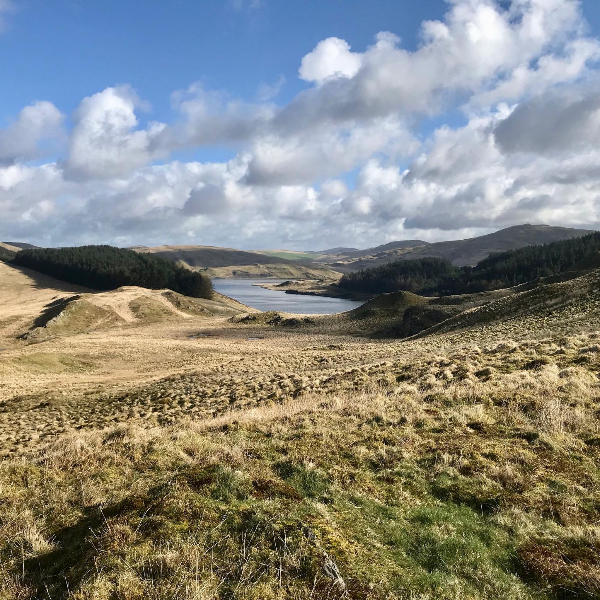
MTB Trails around Blaenrheidol
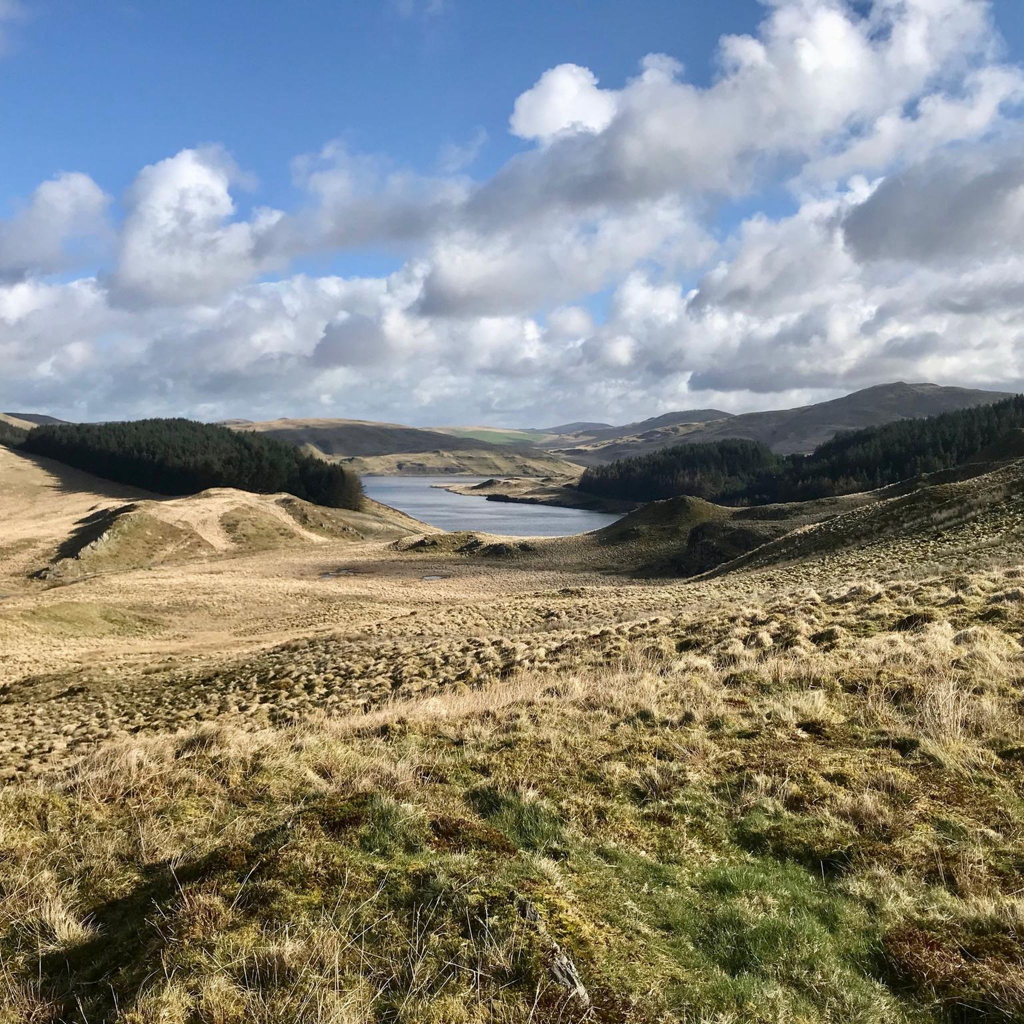
Hiking around Blaenrheidol
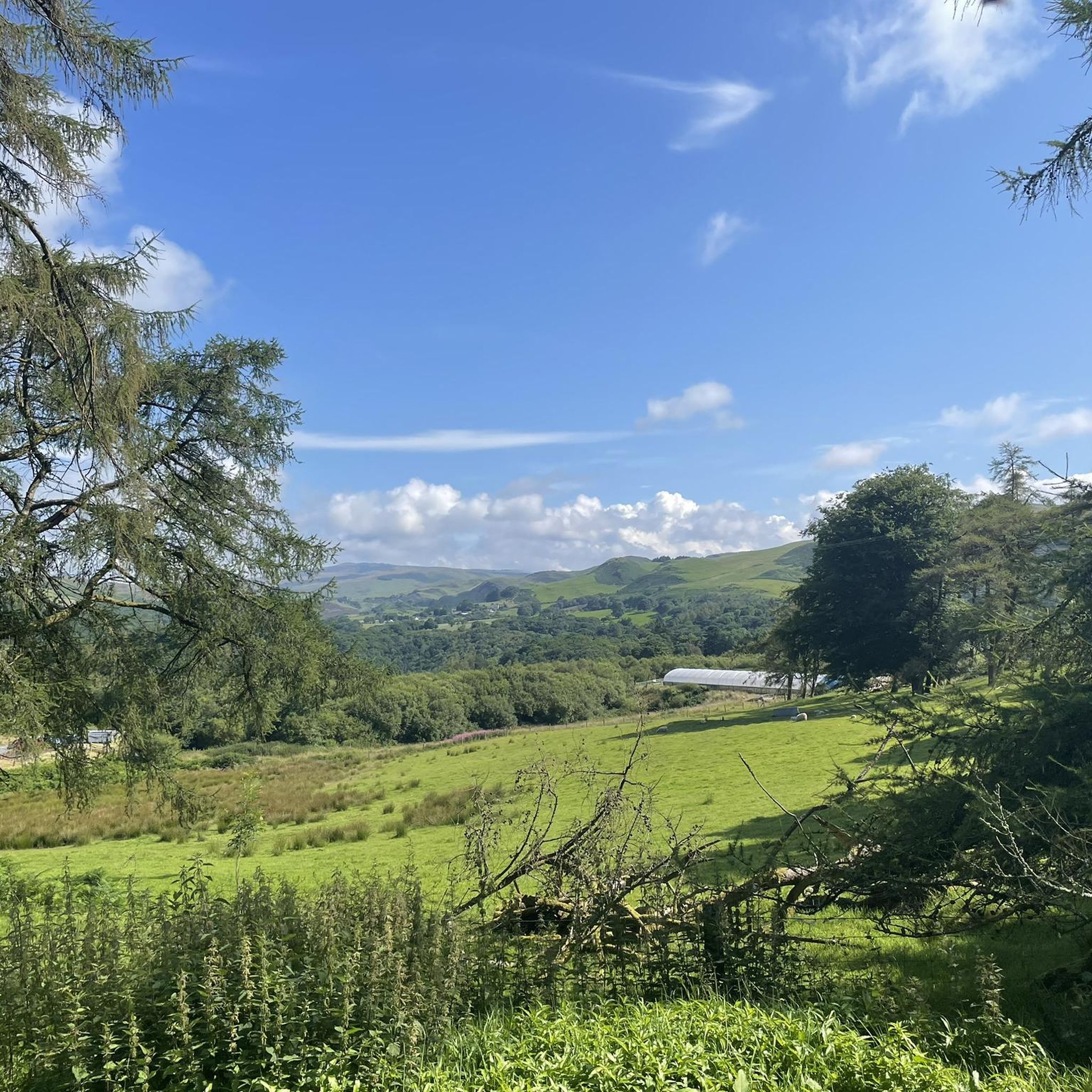
Road Cycling Routes around Blaenrheidol

Gravel biking around Blaenrheidol
Other adventures around Blaenrheidol


Tips from the Community

It was an astonishing sight to see more than a hundred red kites in the sky waiting for the feeding and then all swooping down for the scraps which were thrown onto the feeding spot for them. We can wholeheartedly recommend this.
0
0

Timetable is posted, trip highly recommended
0
0

Pumlumon Fawr, often referred to simply as Pumlumon, is the highest peak in the Cambrian Mountains of Wales, standing at 2,468 feet (752 meters) above sea level. It is located in the county of Ceredigion and is part of a range known for its rugged terrain and scenic beauty. The name "Pumlumon" translates to "five peaks" in Welsh, which refers to the five summits that make up the mountain. The area is popular with hikers and outdoor enthusiasts, offering a variety of trails that provide stunning views of the surrounding countryside, including lakes, valleys, and other mountain ranges. Pumlumon is also notable for its rich biodiversity and unique ecosystems. The region supports various wildlife, including rare plant species and birds. Additionally, the mountain is a source of several rivers, contributing to the hydrology of the region. Whether for hiking, nature watching, or simply enjoying the landscape, Pumlumon Fawr is a significant and cherished feature of the Welsh landscape.
2
0
Pumlumon Fawr, often referred to simply as Pumlumon, is the highest peak in the Cambrian Mountains of Wales, standing at 2,468 feet (752 meters) above sea level. It is located in the county of Ceredigion and is part of a range known for its rugged terrain and scenic beauty. The name "Pumlumon" translates to "five peaks" in Welsh, which refers to the five summits that make up the mountain. The area is popular with hikers and outdoor enthusiasts, offering a variety of trails that provide stunning views of the surrounding countryside, including lakes, valleys, and other mountain ranges. Pumlumon is also notable for its rich biodiversity and unique ecosystems. The region supports various wildlife, including rare plant species and birds. Additionally, the mountain is a source of several rivers, contributing to the hydrology of the region. Whether for hiking, nature watching, or simply enjoying the landscape, Pumlumon Fawr is a significant and cherished feature of the Welsh landscape.
1
0

A fun, challenging track on a gravel bike - easy going on an MTB
0
0


Wonderful view with several lakes and to the sea.
2
1

To view the stunning gorge and three bridges, it costs £2 per person. There's a small free car park and a café for refreshments. The path is very narrow and consists of steep stairs. Not suitable for unfit people. It only takes 10mins to complete the short loop. The three bridges show a history of crossing the gorge through the centures. The first and lowest bridge was built by monks in 11th century. Around 1754 a second bridge (middle bridge) was built on top if the first, with ornate iron railings. In 1901 the third bridge was built, again with a modern copy of the iron original railings.
3
0
Frequently Asked Questions
How many running routes are available in Blaenrheidol?
Blaenrheidol offers a wide selection of running routes, with over 50 trails recorded on komoot. These range from easy paths to challenging mountain ascents, catering to various fitness levels.
Are there any easy or beginner-friendly jogging routes in Blaenrheidol?
While many routes in Blaenrheidol are moderate to difficult due to the mountainous terrain, there is at least one easy route available. For beginners, consider starting with shorter, flatter sections around the Bwlch Nant yr Arian Forest Visitor Centre, which offers waymarked trails like 'Y Llo' that begin with flat sections before gentle climbs.
What are some challenging long-distance running trails in the area?
For those seeking a challenge, Blaenrheidol has several demanding routes. The Llyn Blaenmelindwr – Llyn Syfydrin loop from Bwlch Nant yr Arian is a difficult 15.3-mile (24.6 km) trail connecting two scenic lakes. Another option is the Devil's Bridge and Waterfalls – Jubilee Arch loop from Devil's Bridge, a difficult 13.1-mile (21.1 km) path with significant elevation changes.
Are there circular running routes in Blaenrheidol?
Yes, many of the running routes in Blaenrheidol are designed as circular loops, allowing you to start and finish at the same point. Examples include the popular Llyn Blaenmelindwr – Llyn Syfydrin loop from Bwlch Nant yr Arian and the Llyn Rhosgoch – Llyn Pendam loop from Nant yr Arian.
What scenic viewpoints or natural attractions can I see while jogging in Blaenrheidol?
Blaenrheidol is rich in natural beauty. You can incorporate stunning viewpoints and attractions into your runs. Consider routes that pass by Devil's Bridge and Waterfalls, or ascend to Pumlumon Fawr summit or Pen y Garn Summit Trig Point for panoramic views of the Cambrian Mountains. The Rheidol Valley itself offers picturesque woodlands and river scenery.
Are there any running routes near reservoirs or lakes?
Absolutely. The region is dotted with lakes and reservoirs. The Llyn Blaenmelindwr – Llyn Syfydrin loop takes you past two beautiful lakes. The Llyn Rhosgoch – Llyn Pendam loop also offers expansive water views. Nant-y-moch Reservoir is another large body of water that can be incorporated into longer routes.
What is the best time of year for jogging in Blaenrheidol?
The spring and autumn months generally offer the most pleasant conditions for jogging in Blaenrheidol, with milder temperatures and vibrant landscapes. Summer can be beautiful but also busier, while winter runs can be challenging due to potentially harsh weather in the exposed mountain areas, though some sheltered valley routes may still be accessible.
Are there any running routes that pass by a cafe or visitor centre?
Yes, the Bwlch Nant yr Arian Forest Visitor Centre is a great starting point for several trails and features a cafe where you can refuel before or after your run. It's also famous for its daily red kite feeding sessions.
What do other runners enjoy most about jogging in Blaenrheidol?
The running routes in Blaenrheidol are highly rated by the komoot community, with an average score of 4.0 stars. Runners often praise the diverse terrain, from rugged hill ridges to tranquil valleys, and the breathtaking scenery of the Cambrian Mountains, including its numerous lakes and dramatic waterfalls.
Are there any family-friendly jogging paths in Blaenrheidol?
While many routes are challenging, families can find suitable options, especially around the Bwlch Nant yr Arian Forest Visitor Centre. Look for shorter, less steep sections or explore the pathways within the Hafod Estate, which offers numerous forest trails suitable for a more relaxed pace.
Where can I find parking for jogging routes in Blaenrheidol?
Key locations like the Bwlch Nant yr Arian Forest Visitor Centre and Devil's Bridge typically offer dedicated parking facilities for visitors accessing the trails. Always check local signage for parking regulations and fees.
Most popular routes around Blaenrheidol
Most popular attractions around Blaenrheidol

Get inspired with the komoot mobile app


Explore more
Browse the best Running Trails & Routes in other regions.
