The best road cycling routes around Blaenrheidol
4.6
(12)
822
riders
43
rides
Road cycling routes around Blaenrheidol traverse a landscape characterized by rolling hills, river valleys, and occasional coastal views. The region features varied terrain, from moderate ascents to more challenging climbs, with elevations reaching over 900 meters on some routes. This area offers a mix of quiet country roads and scenic paths suitable for road cyclists.
Best road cycling routes around Blaenrheidol
- The most popular road cycling route is Borth Beach – Devil's Bridge and Waterfalls loop from Devil's Bridge,…
Last updated: October 22, 2026
56
riders
70.0km
03:23
910m
910m
Hard road ride. Very good fitness required. Mostly well-paved surfaces and easy to ride.
19
riders
Moderate road ride. Good fitness required. Some segments of this route may be unpaved and difficult to ride.

5.0
(1)
18
riders
Hard road ride. Very good fitness required. Mostly well-paved surfaces and easy to ride.
17
riders
19.7km
00:54
170m
170m
Easy road ride. Great for any fitness level. Mostly well-paved surfaces and easy to ride.
11
riders
31.9km
01:35
460m
460m
Moderate road ride. Good fitness required. Mostly well-paved surfaces and easy to ride.
Get access to more routes and recommendations from other explorers.
Already have an account?
Our route recommendations are based on thousands of hikes, rides, and runs completed by other people on komoot.
Start today with a free account
Your next adventure awaits.
Popular around Blaenrheidol
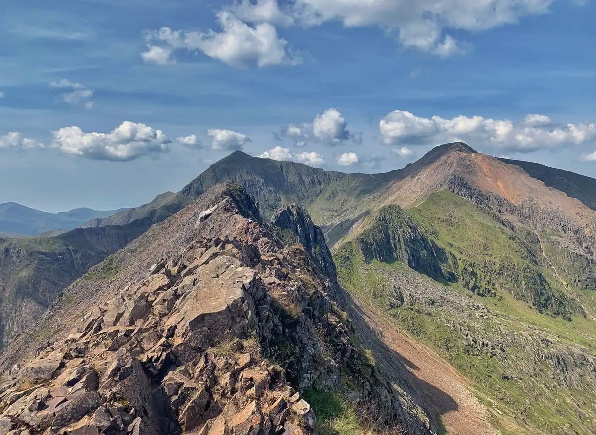
The Dragon's Back – running the spine of Wales

O Fon i Fynwy — Exploring Wales on foot from top to bottom
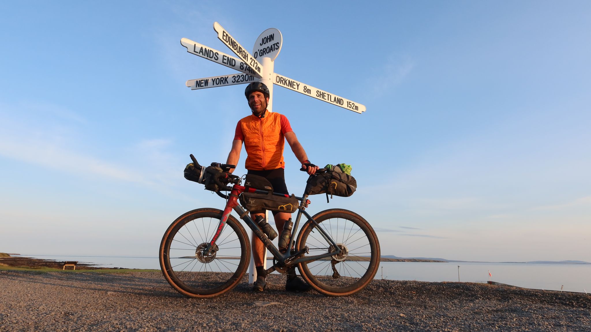
GBDURO 2021 — Gravel racing Land's End to John O'Groats
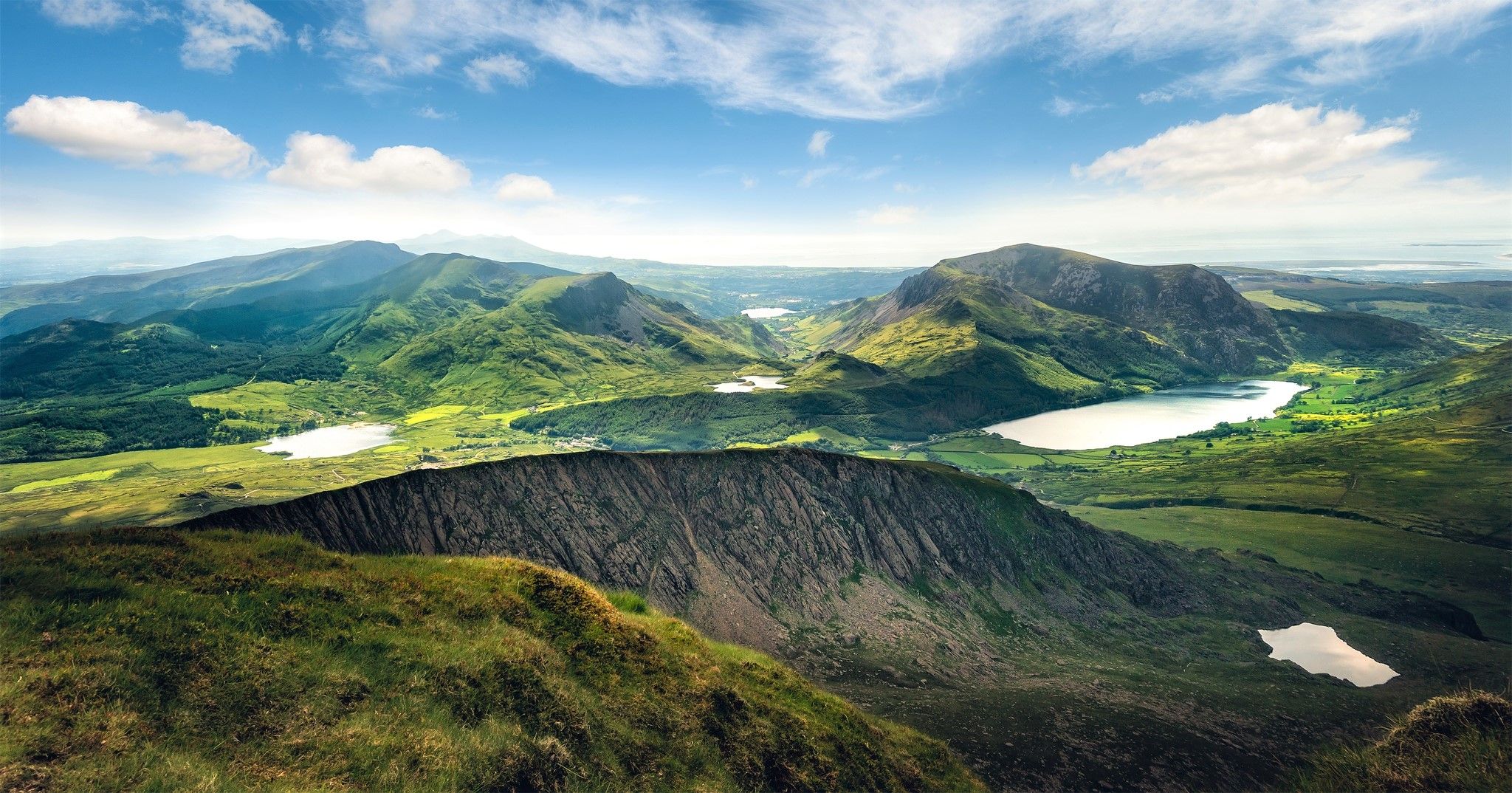
Cambrian Way — Hike the highest, wildest and most beautiful trail in Wales
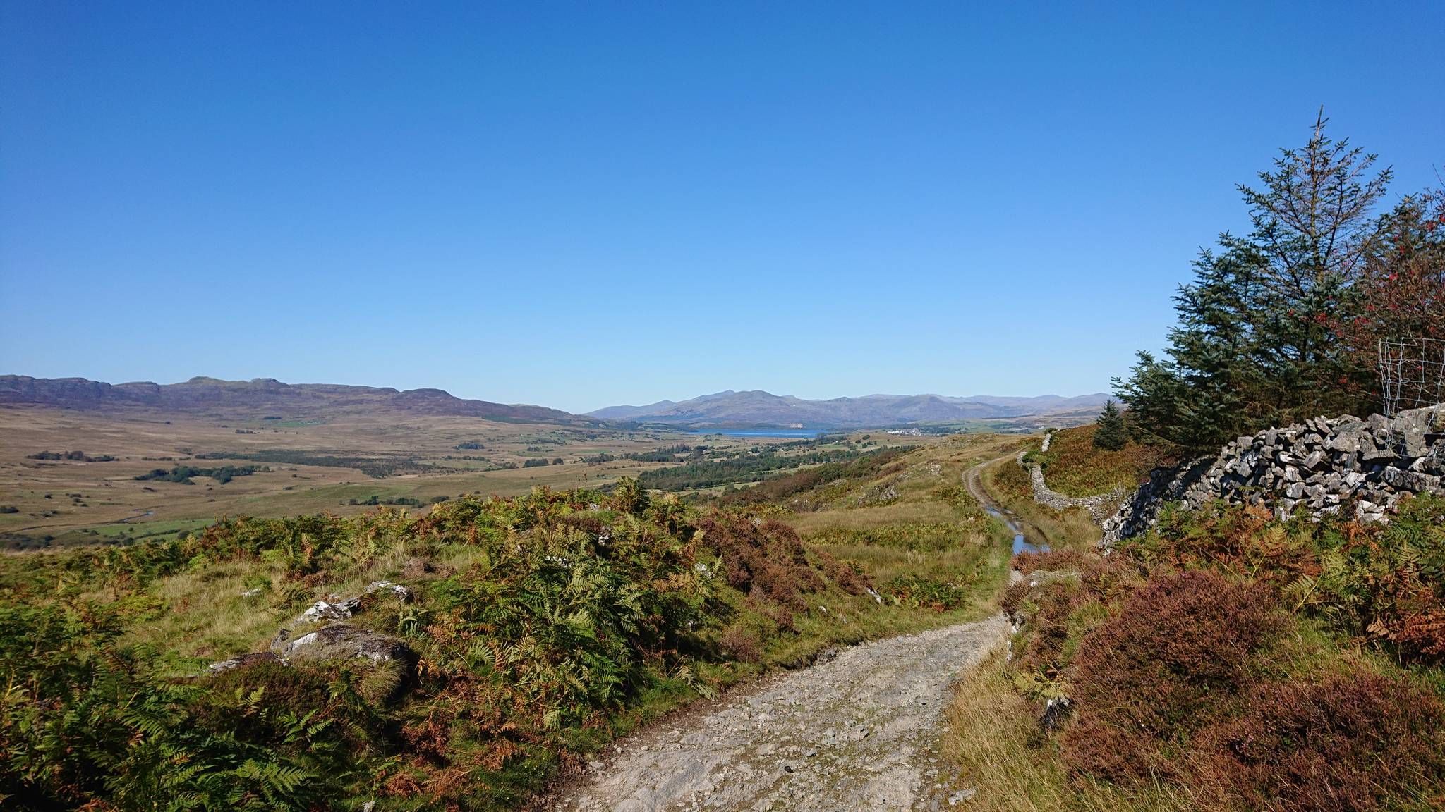
Sarn Helen — Ride in the footsteps of Romans across Wales
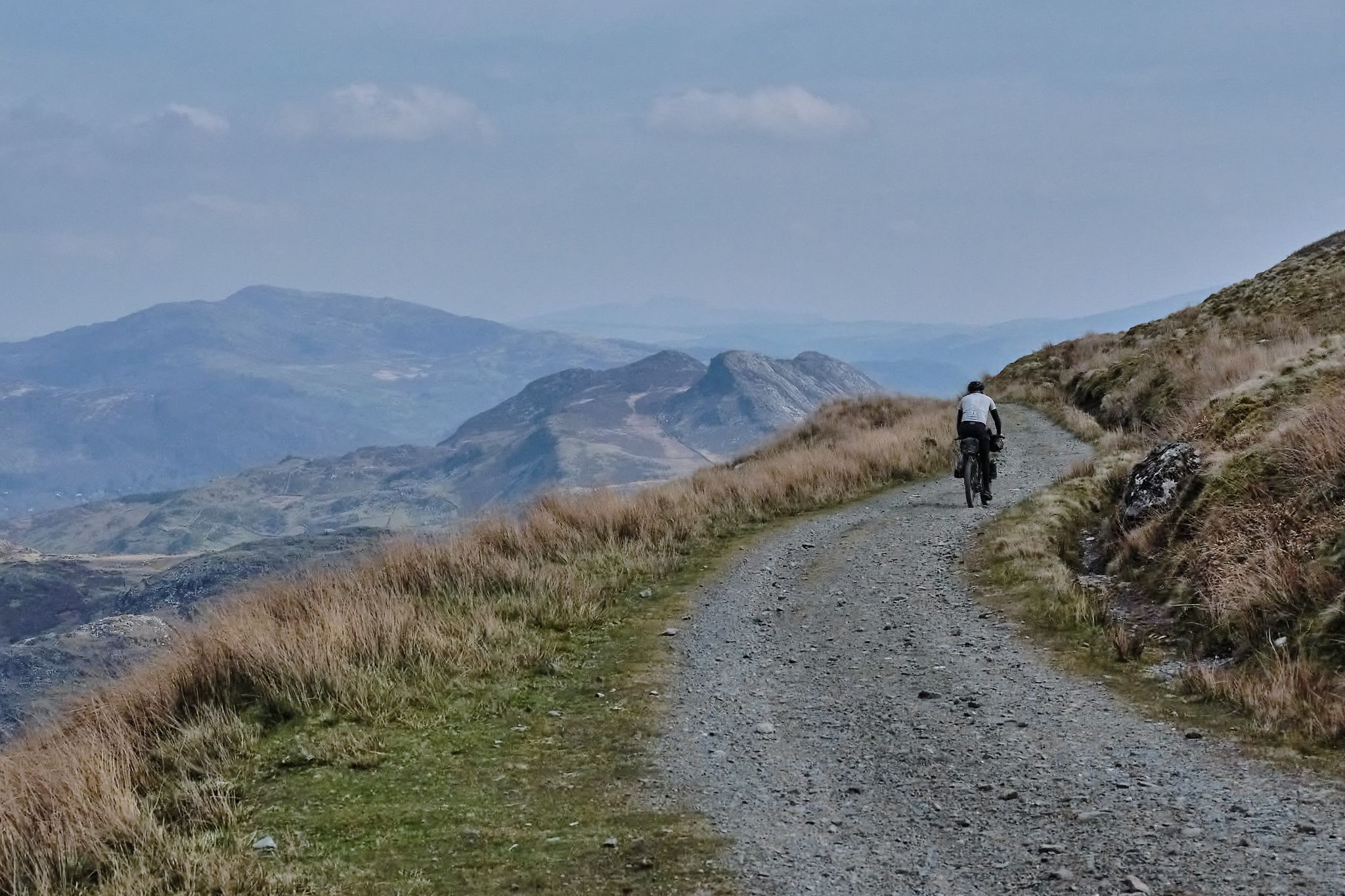
Bikepacking the length of Wales from Worms Head to Great Orme
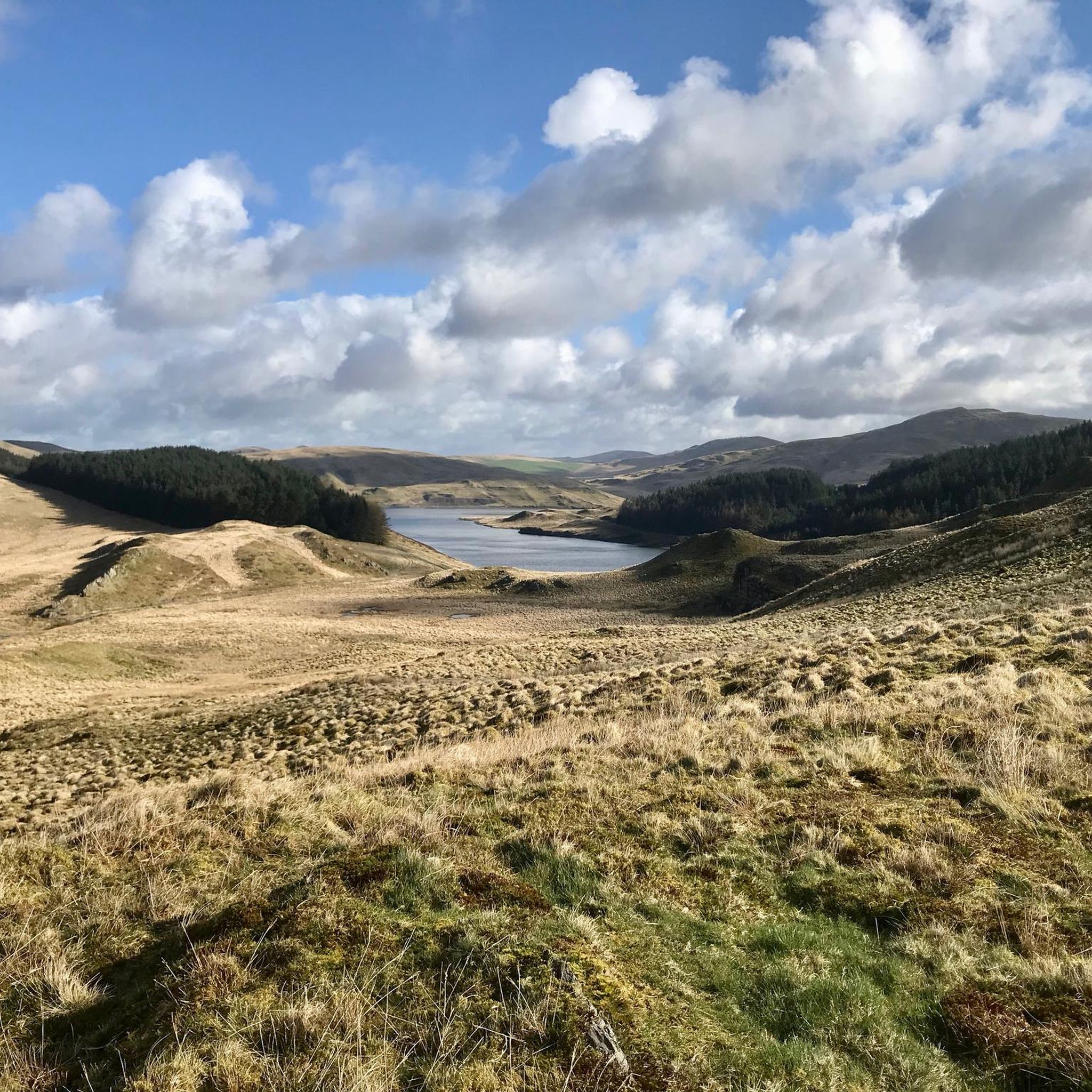
MTB Trails around Blaenrheidol
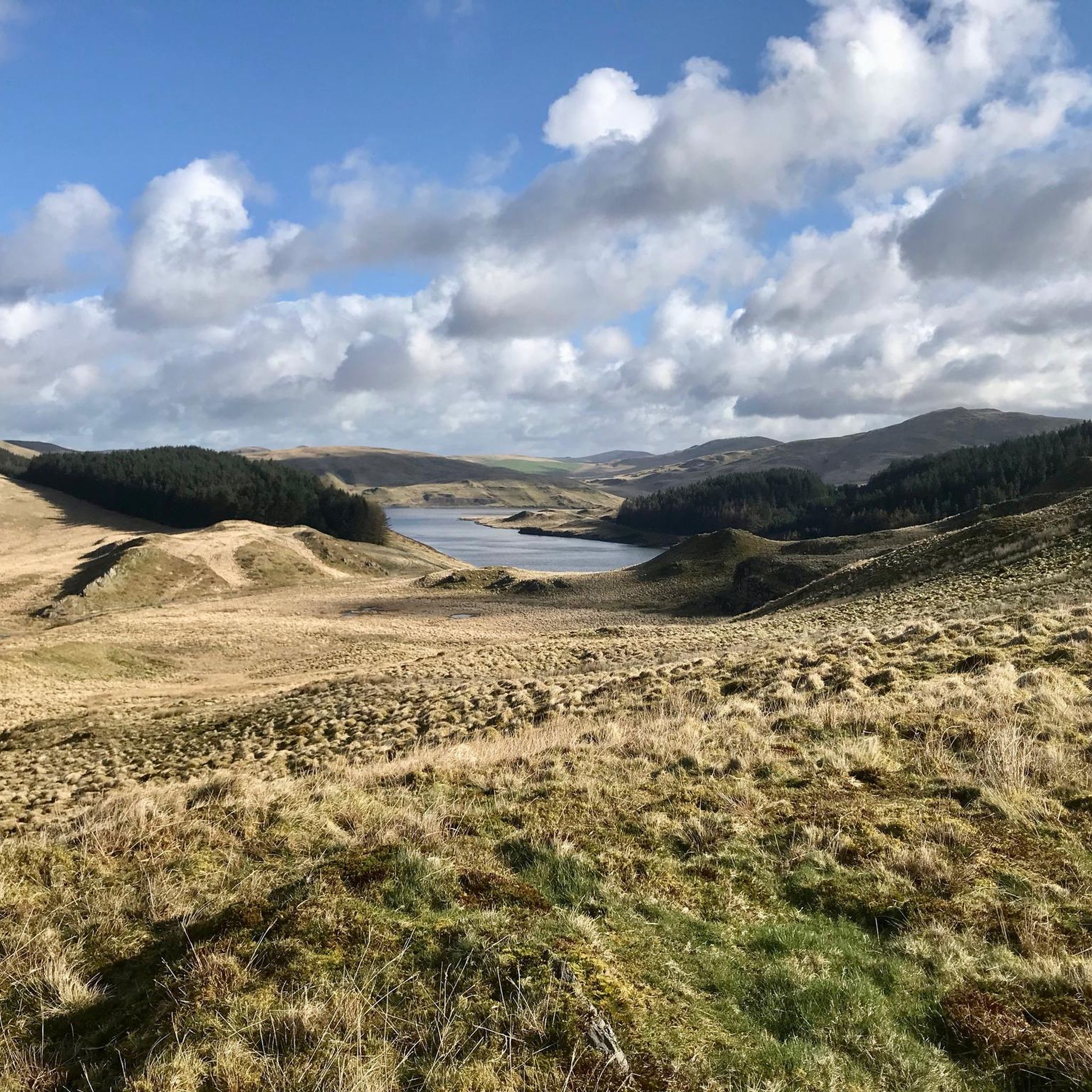
Hiking around Blaenrheidol
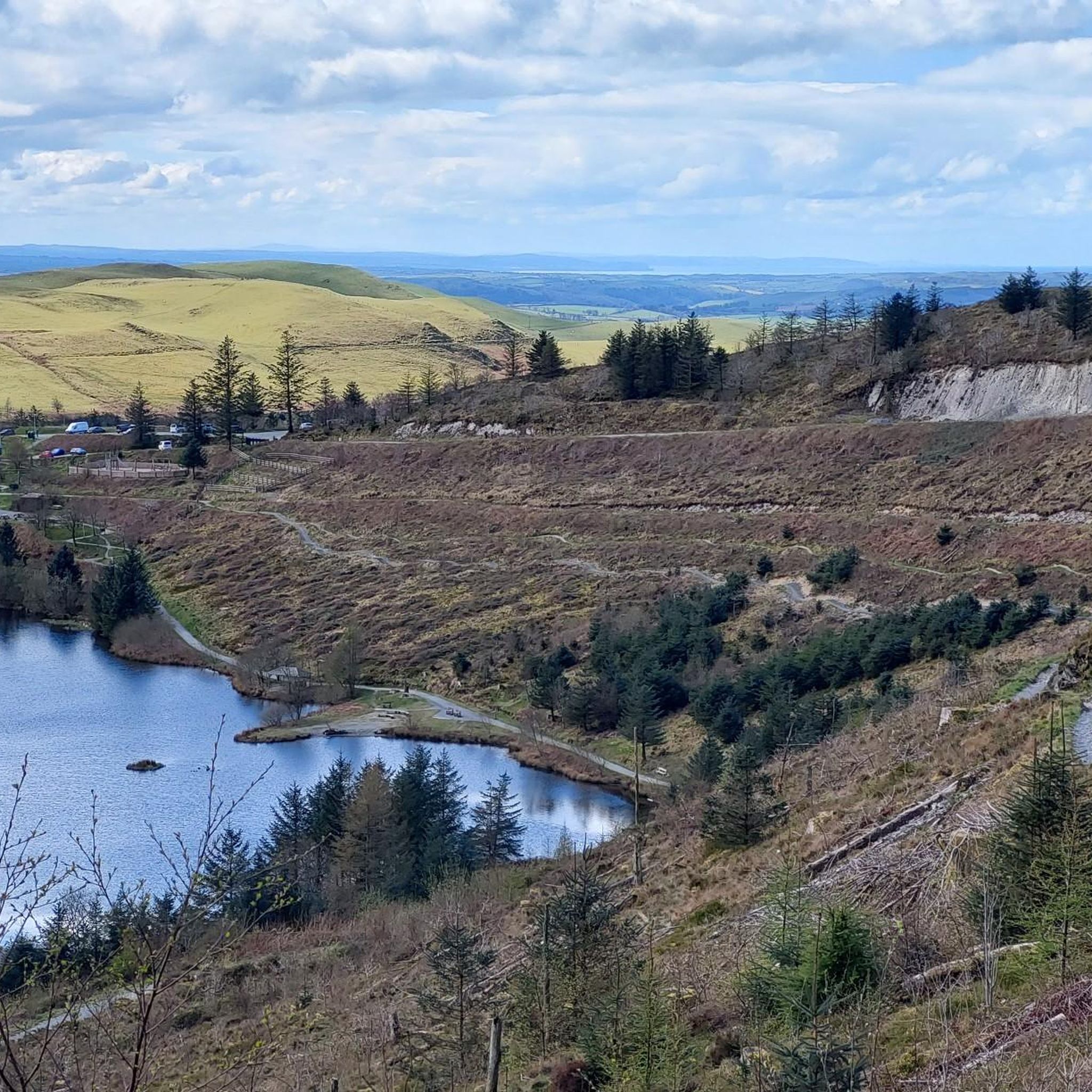
Running Trails around Blaenrheidol

Gravel biking around Blaenrheidol
Other adventures around Blaenrheidol


Tips from the Community

Although they were often erected a century ago (very often after the First World War from 1914 to 1918), the "war memorials" found almost everywhere in villages and towns are by no means mere relics of a bygone era. They still commemorate the victims of war and tyranny today. The design of the memorials varies from place to place, but they all have one thing in common: they continually remind us of the need to preserve peace.
0
0

Timetable is posted, trip highly recommended
0
0
Nice little story about the place... the poor dog ;)
0
0

A lovely place to ride in good weather but can be pretty grim in the wind & rain
0
0

self service cafe, make your own coffee, lovely cakes and a honesty box. quirky decor. really lovely place. If you are lucky enough to meet the owner, she is lovely to.
0
0

This place is a gem. A bit of an oasis in a desert if you are on your bike and want a hot drink or to fill your water bottles. It is an honesty cafe in a house opposite Moduron Hafod Garage. Especially helpful if you are doing the Trans Cambrian Way in 3 days, just stay on the road at Ysbyty Ystwyth and drop down to Pont-rhyd-y-groes. You will have to climb back up to rejoin the route though (Hafodty road is most direct but steep!)
0
0

Beautiful. What would it be like to go back in time and walk around here...
0
0
Impressive monument in memory of the fallen soldiers in WWI and WWII.
0
0
Frequently Asked Questions
What kind of terrain can I expect on road cycling routes in Blaenrheidol?
The road cycling routes around Blaenrheidol feature a diverse landscape, including rolling hills, picturesque river valleys, and occasional glimpses of the coast. You'll encounter a mix of moderate ascents and more challenging climbs, with some routes reaching elevations over 900 meters. The area offers quiet country roads and scenic paths suitable for various road cycling preferences.
How many road cycling routes are available in Blaenrheidol?
There are over 45 road cycling routes documented in Blaenrheidol, catering to different skill levels. This includes 5 easy routes, 32 moderate routes, and 11 difficult routes, ensuring options for every cyclist.
Are there any easy or family-friendly road cycling routes in Blaenrheidol?
Yes, Blaenrheidol offers several easy routes suitable for beginners or families. An excellent option is the Picnic Area by the River Dyfi – Rheidol Visitor Centre loop from Goginan, which is 19.7 km long with a modest elevation gain, making it a pleasant ride.
What are some challenging road cycling routes for experienced riders?
For experienced cyclists seeking a challenge, Blaenrheidol has routes with significant elevation gain. Consider the Borth Beach – Devil's Bridge and Waterfalls loop from Devil's Bridge, a difficult 70.5 km route with over 900 meters of climbing. Another demanding option is the Aberystwyth Castle Ruins – Devil's Bridge and Waterfalls loop from Devil's Bridge, covering 55.7 km with similar elevation.
What is the typical length and duration of road cycling routes in Blaenrheidol?
Route lengths vary significantly, from shorter rides around 18 km to longer, more challenging loops exceeding 70 km. Durations can range from just over an hour for easier routes to more than 3.5 hours for difficult, longer excursions, depending on your pace and the terrain.
Are there circular road cycling routes available in Blaenrheidol?
Many of the road cycling routes in Blaenrheidol are designed as circular loops, allowing you to start and finish at the same point. Examples include the popular Devil's Bridge and Waterfalls loop from Devil's Bridge and The Black Horse Café – Woodlands Caravan Park loop from Goginan.
What interesting landmarks or viewpoints can I see along the road cycling routes?
Blaenrheidol's routes offer access to several notable landmarks and viewpoints. You can visit the iconic Devil's Bridge and Waterfalls, or enjoy panoramic views from Pen y Garn Summit Trig Point and Pumlumon Fawr summit. The area also features the Hafren Cascades Boardwalk and Blaen Hafren Falls.
What do other road cyclists say about the routes in Blaenrheidol?
The road cycling routes in Blaenrheidol are highly regarded by the komoot community, holding an average rating of 4.7 stars from over 13 reviews. Cyclists often praise the varied terrain, scenic river valleys, and the challenging climbs that make for a rewarding experience.
When is the best time of year for road cycling in Blaenrheidol?
The spring, summer, and early autumn months (April to October) generally offer the most favorable conditions for road cycling in Blaenrheidol, with milder temperatures and longer daylight hours. However, the weather in Wales can be unpredictable, so it's always wise to check the forecast before heading out.
Are there any places to stop for refreshments or cafes near the road cycling routes?
While specific cafes are not listed for every route, the region of Blaenrheidol and nearby towns like Devil's Bridge and Goginan offer local establishments where cyclists can find refreshments. Planning your route to pass through these villages can provide convenient stop-off points.
What are the parking options for accessing road cycling trails in Blaenrheidol?
Parking is typically available in the villages and towns that serve as common starting points for routes, such as Devil's Bridge or Goginan. Many routes also begin from established car parks or public access points, though it's advisable to check specific route details for the most convenient parking locations.
Can I expect to see any lakes or reservoirs along the road cycling routes?
Yes, the wider region around Blaenrheidol features several beautiful lakes and reservoirs. While not directly on every road cycling route, you can find highlights like Clywedog Dam and Pen Pumlumon Llygad-Bychan summit (a lake near a summit) within cycling distance, offering scenic detours.
Most popular attractions around Blaenrheidol

Get inspired with the komoot mobile app


Explore more
Browse the best Road cycling routes in other regions.
