The best road cycling routes in Forêt De Saint-André
4.5
(619)
26,528
riders
69
rides
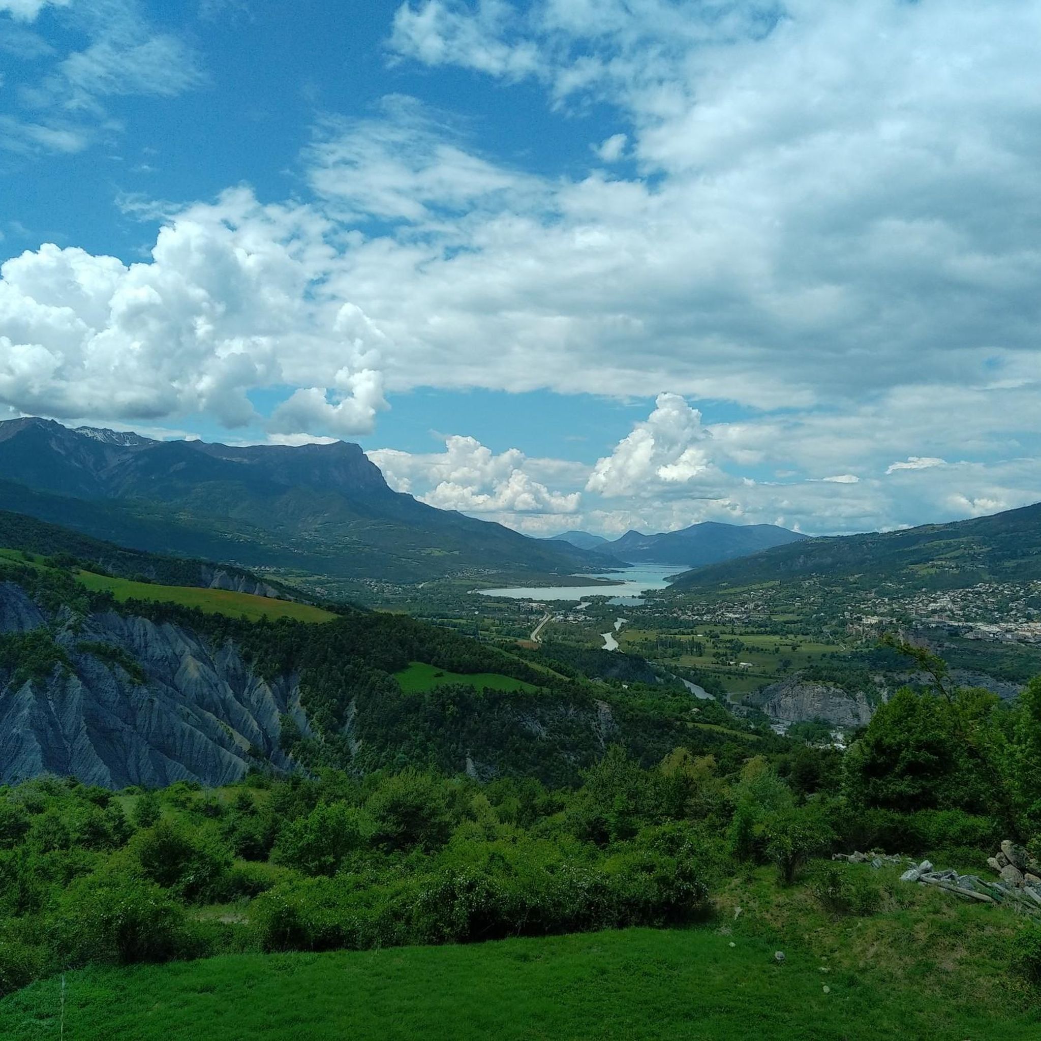
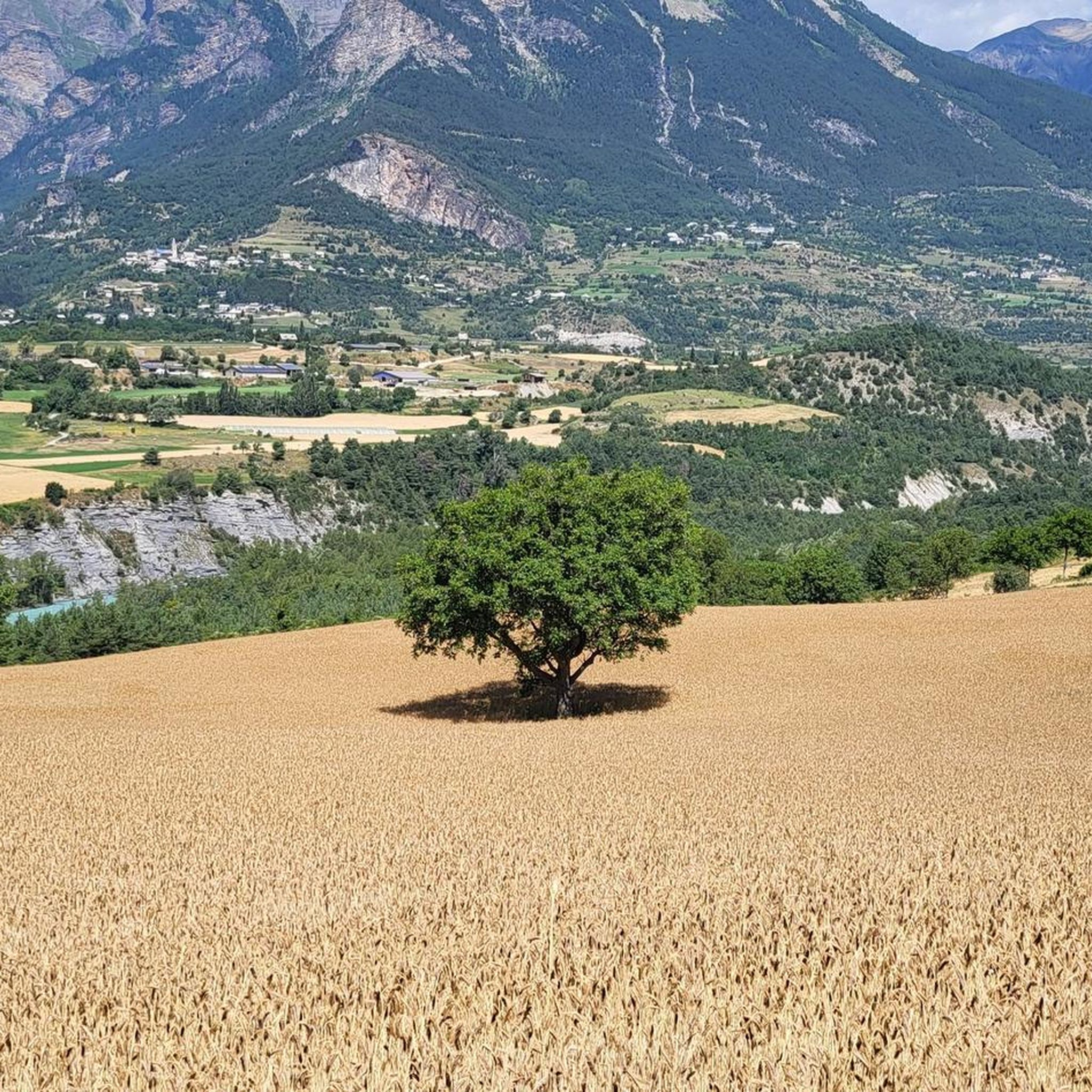
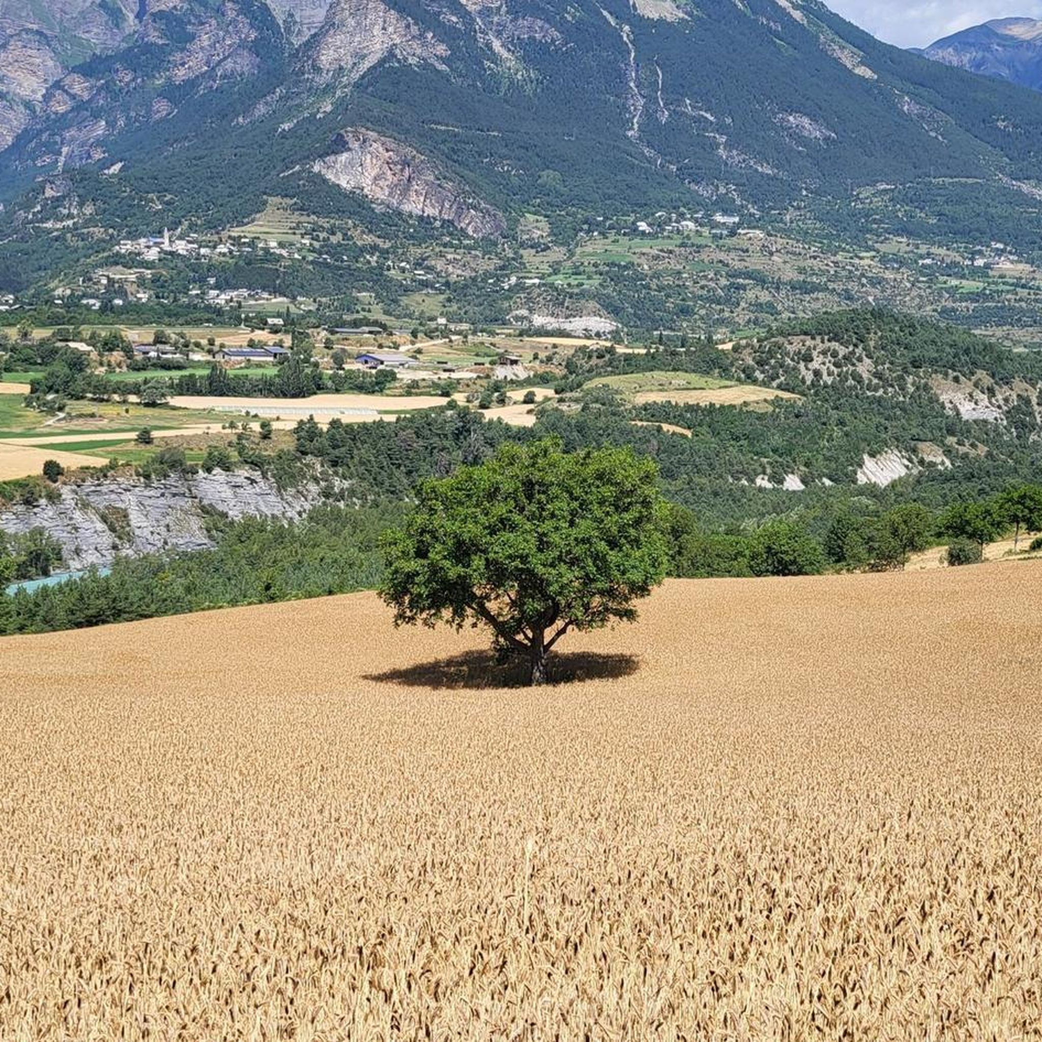
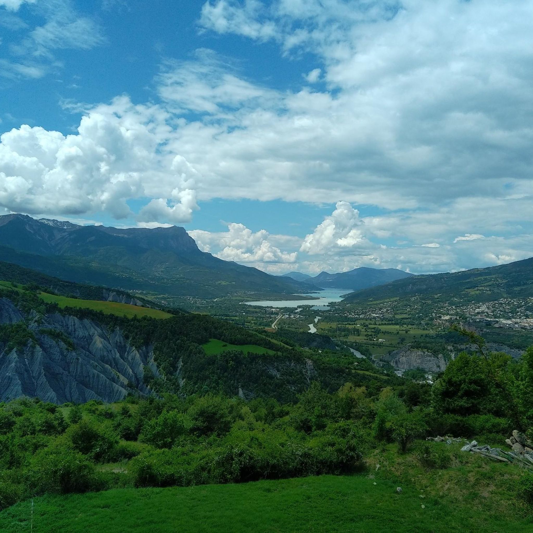
Road cycling in Forêt De Saint-André, located in the French Alps near Gap, offers routes through varied mountainous terrain. The region is characterized by significant elevation changes, scenic roads, and landscapes that include valleys, larch forests, and high mountain passes. Road cyclists can expect challenging climbs and rewarding descents amidst the natural features of the Briançonnais area.
Best road cycling routes in Forêt De Saint-André
- The most popular road cycling route is Pont Neuf over the Durance – Embrun loop…
Last updated: July 1, 2026
18
riders
16.7km
00:49
240m
240m
Easy road ride. Great for any fitness level. Mostly well-paved surfaces and easy to ride.
15
riders
20.0km
01:00
330m
320m
Moderate road ride. Good fitness required. Mostly well-paved surfaces and easy to ride.

Sign up for free
4.6
(25)
1,133
riders
68.0km
03:54
1,590m
1,590m
Hard road ride. Very good fitness required. Mostly well-paved surfaces and easy to ride.
55
riders
19.5km
00:57
260m
260m
Easy road ride. Great for any fitness level. Mostly well-paved surfaces and easy to ride.
5.0
(1)
78
riders
14.7km
00:42
190m
190m
Moderate road ride. Great for any fitness level. Some segments of this route may be unpaved and difficult to ride.
Get access to more routes and recommendations from other explorers.
Sign up for free
Already have an account?
Our route recommendations are based on thousands of hikes, rides, and runs completed by other people on komoot.
Start today with a free account
Your next adventure awaits.
Login or Signup

Tips from the Community

Châteauroux, the capital of the Indre, was founded around 937 AD when Raoul the Fat, Lord of Déols, built Château Raoul on the left bank of the Indre, the name from which the city derives. Developing as a center of craftsmanship, it was contested during the Hundred Years' War, becoming an important capital in the 19th century with industrialization and the construction of the railway.
4
0

great detox course
0
0
For any problem on the bike this is a good place to fix it.
0
0
Artificial lake, attracts many tourists in summer.
11
0
Pretty little village with a centre worth visiting.
13
0

Descent with asphalt in perfect conditions, beautiful to drive.
17
0

Amazing fast descent down from Col de Vars towards Guillestre, with a beautiful view on the Ecrin. The road whirls around the stone creating wonderful images
5
0
Frequently Asked Questions
How many road cycling routes are available in Forêt De Saint-André?
There are over 70 road cycling routes available in the Forêt De Saint-André region. These routes cater to various skill levels, from easier valley loops to challenging alpine climbs.
What kind of terrain can I expect when road cycling in Forêt De Saint-André?
Road cycling in Forêt De Saint-André, located in the French Alps, features varied mountainous terrain. You can expect significant elevation changes, scenic roads, and landscapes that include valleys, larch forests, and high mountain passes. The region is characterized by challenging climbs and rewarding descents amidst the natural beauty of the Briançonnais area.
Are there routes suitable for beginners or families in Forêt De Saint-André?
Yes, the region offers routes suitable for different ability levels. There are 12 easy routes, often found in the valleys, which are ideal for beginners or family outings. For example, the Embrun – Châteauroux-les-Alpes loop from Châteauroux-les-Alpes is an easy 11.5-mile trail through the Durance valley.
What are the most challenging road cycling routes in Forêt De Saint-André?
For experienced riders seeking a challenge, the region offers 27 difficult routes. A notable difficult route is the Vars – Col de Vars loop from Châteauroux-les-Alpes, a 42.3-mile path featuring a significant ascent to Col de Vars. Another demanding option is the Col de Vars and Col de Pontis Loop, which covers over 77 miles with substantial elevation gain.
What do other cyclists say about road cycling in Forêt De Saint-André?
The road cycling routes in Forêt De Saint-André are highly rated by the komoot community, with an average score of 4.6 stars from over 500 reviews. Cyclists often praise the stunning alpine scenery, the challenging climbs, and the well-maintained roads that offer breathtaking views of the valleys and mountain passes.
Are there any scenic viewpoints or natural features to look out for on the routes?
Absolutely. Many routes offer impressive views over the Durance valley and the surrounding French Alps. You can expect to see larch forests, high mountain passes like Col de Vars, and the picturesque Lac de Serre-Ponçon. The historical 'canaux du Briançonnais' also contribute to the unique natural and cultural landscape.
Can I find any loop routes for road cycling in the area?
Yes, many road cycling routes in Forêt De Saint-André are designed as loops, allowing you to start and finish in the same location. Examples include the Pont Neuf over the Durance – Embrun loop from Saint-André-d'Embrun and the Vars – Col de Vars loop from Châteauroux-les-Alpes.
What is the best time of year to go road cycling in Forêt De Saint-André?
The best time for road cycling in the French Alps, including Forêt De Saint-André, is typically from late spring to early autumn (May to October). During these months, the weather is generally milder, and mountain passes are clear of snow, offering optimal conditions for cycling. Always check local weather and road conditions before heading out, especially for high-altitude routes.
Are there any routes that offer views of Lac de Serre-Ponçon?
Yes, the region offers routes that provide stunning views of Lac de Serre-Ponçon. The Tour of Lac de Serre-Ponçon from Embrun is a challenging route that circles the lake, offering continuous panoramic vistas of this beautiful artificial lake and its surrounding mountains.
What are the typical elevation gains on road cycling routes in this region?
Given its location in the French Alps, road cycling routes in Forêt De Saint-André feature significant elevation gains. Even moderate routes like the Pont Neuf over the Durance – Embrun loop can have over 1,100 feet of ascent. More difficult routes, such as the Col de Vars and Col de Pontis Loop, can involve over 8,000 feet of climbing, making them suitable for very fit and experienced cyclists.
Is parking generally available near the starting points of road cycling routes?
Yes, in towns and villages that serve as common starting points for routes, such as Embrun or Châteauroux-les-Alpes, you can typically find public parking facilities. It's advisable to check specific starting locations for detailed parking information before your ride.
Are there opportunities for refreshments or accommodation along the routes?
Many towns and villages along the routes, particularly in the valleys or at the base of major climbs, offer cafes, restaurants, and accommodation options. These can be found in places like Embrun, Châteauroux-les-Alpes, and near popular passes, providing convenient stops for refreshments or overnight stays.
Most popular routes in Forêt De Saint-André

Get inspired with the komoot mobile app


Explore more
Browse the best Road cycling routes in other regions.
