Forêt Domaniale Des Sauvas
Forêt Domaniale Des Sauvas
The best running trails in Forêt Domaniale Des Sauvas
4.4
(54)
2,175
runners
112
runs
Jogging routes in Forêt Domaniale Des Sauvas traverse a diverse landscape in the Hautes-Alpes region of France. The area features an extensive network of trails, ranging from serene forest paths to more rugged mountainous terrain. Notable natural features include the dramatic Pic de Bure and the "cirque des Sauvas," offering varied elevation and scenic backdrops for running. The forest itself is composed of various tree species such as larch, fir, Scots pine, and beech.
Best jogging routes in Forêt Domaniale…
Last updated: July 1, 2026
61
runners
18.4km
03:20
1,410m
1,410m
Hard run. Very good fitness required. Mostly paved surfaces. Suitable for all skill levels.
13
runners
29.0km
04:40
1,880m
1,880m
Hard run. Very good fitness required. Mostly paved surfaces. Suitable for all skill levels.

Sign up for free
3.0
(2)
14
runners
7.69km
00:51
70m
70m
Moderate run. Good fitness required. Mostly paved surfaces. Suitable for all skill levels.
3.0
(1)
13
runners
9.88km
01:06
90m
90m
Moderate run. Good fitness required. Mostly paved surfaces. Suitable for all skill levels.
7
runners
9.60km
01:10
240m
240m
Hard run. Good fitness required. Sure-footedness, sturdy shoes and alpine experience required.
Get access to more routes and recommendations from other explorers.
Sign up for free
Already have an account?
Our route recommendations are based on thousands of hikes, rides, and runs completed by other people on komoot.
Start today with a free account
Your next adventure awaits.
Login or Signup
Popular around Forêt Domaniale Des Sauvas

8 hikes in the Hautes-Alpes — mountain passes and high-altitude lakes

The most beautiful MTB and hiking tours in the French Maritime Alps
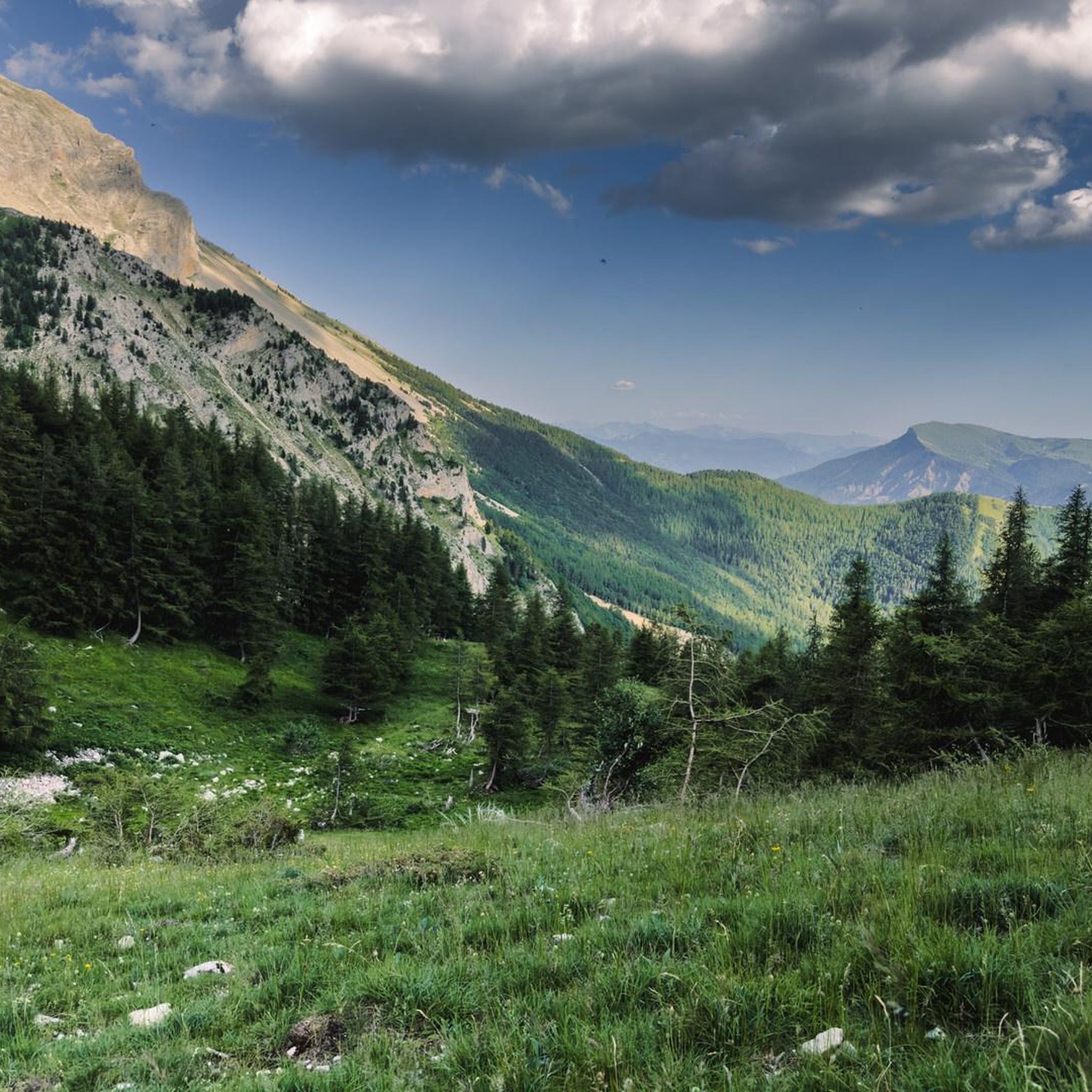
Road Cycling Routes in Forêt Domaniale Des Sauvas
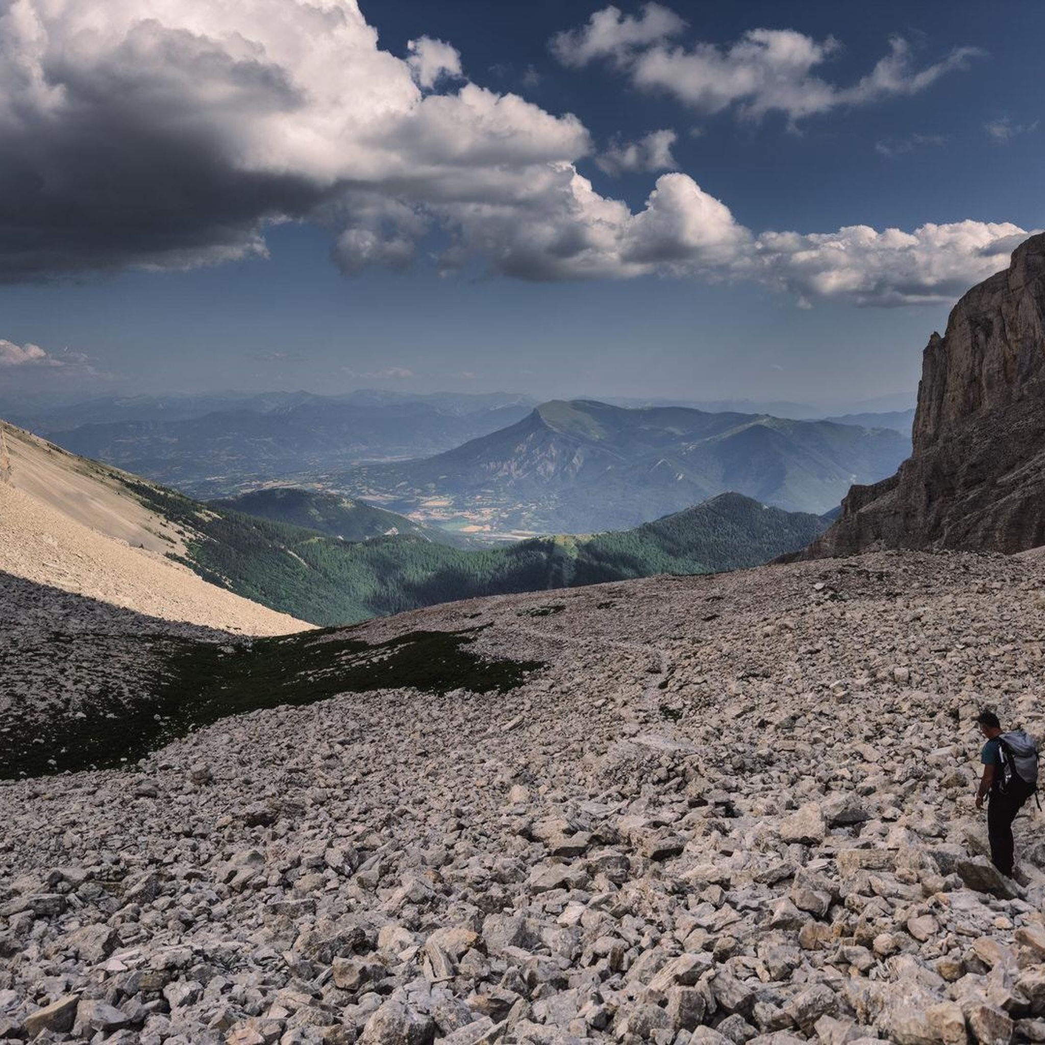
Hiking in Forêt Domaniale Des Sauvas
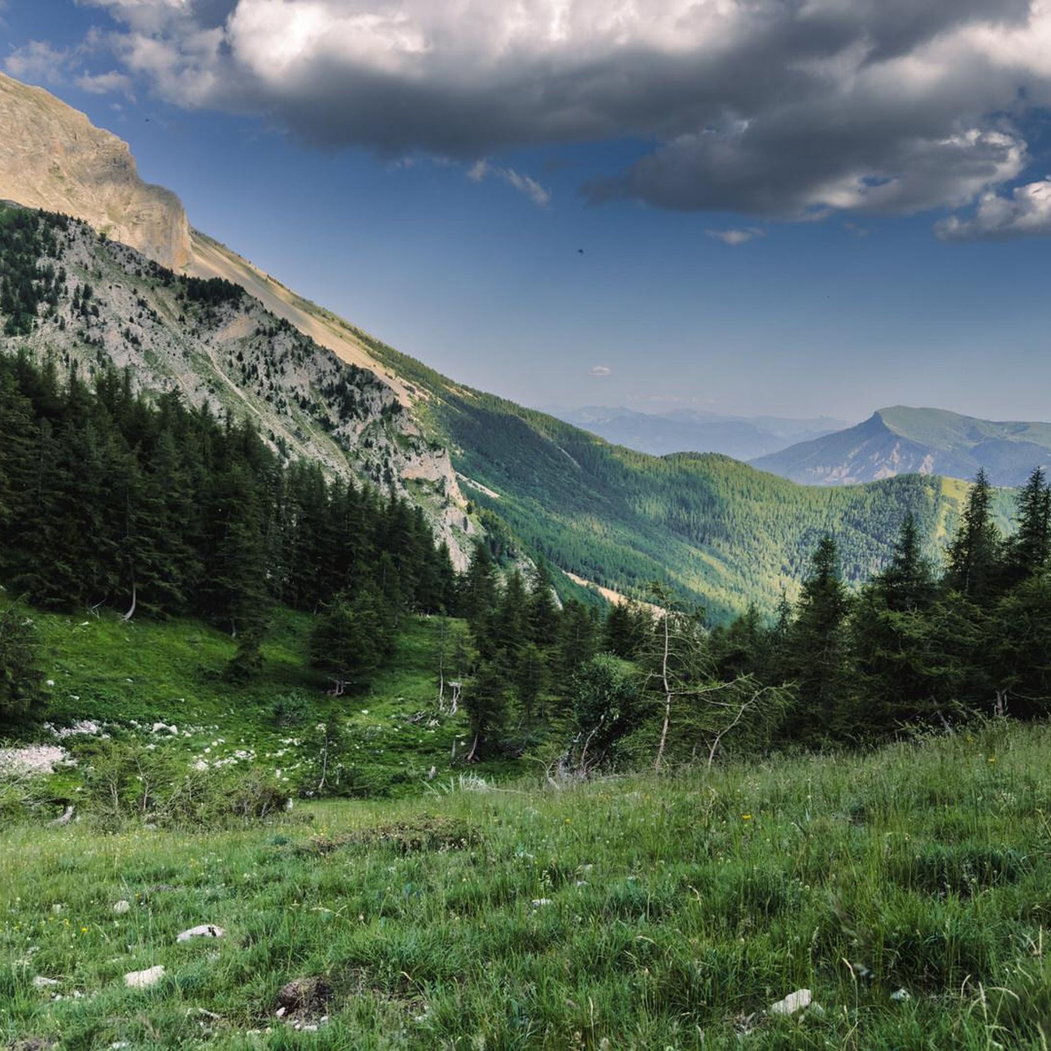
Cycling in Forêt Domaniale Des Sauvas
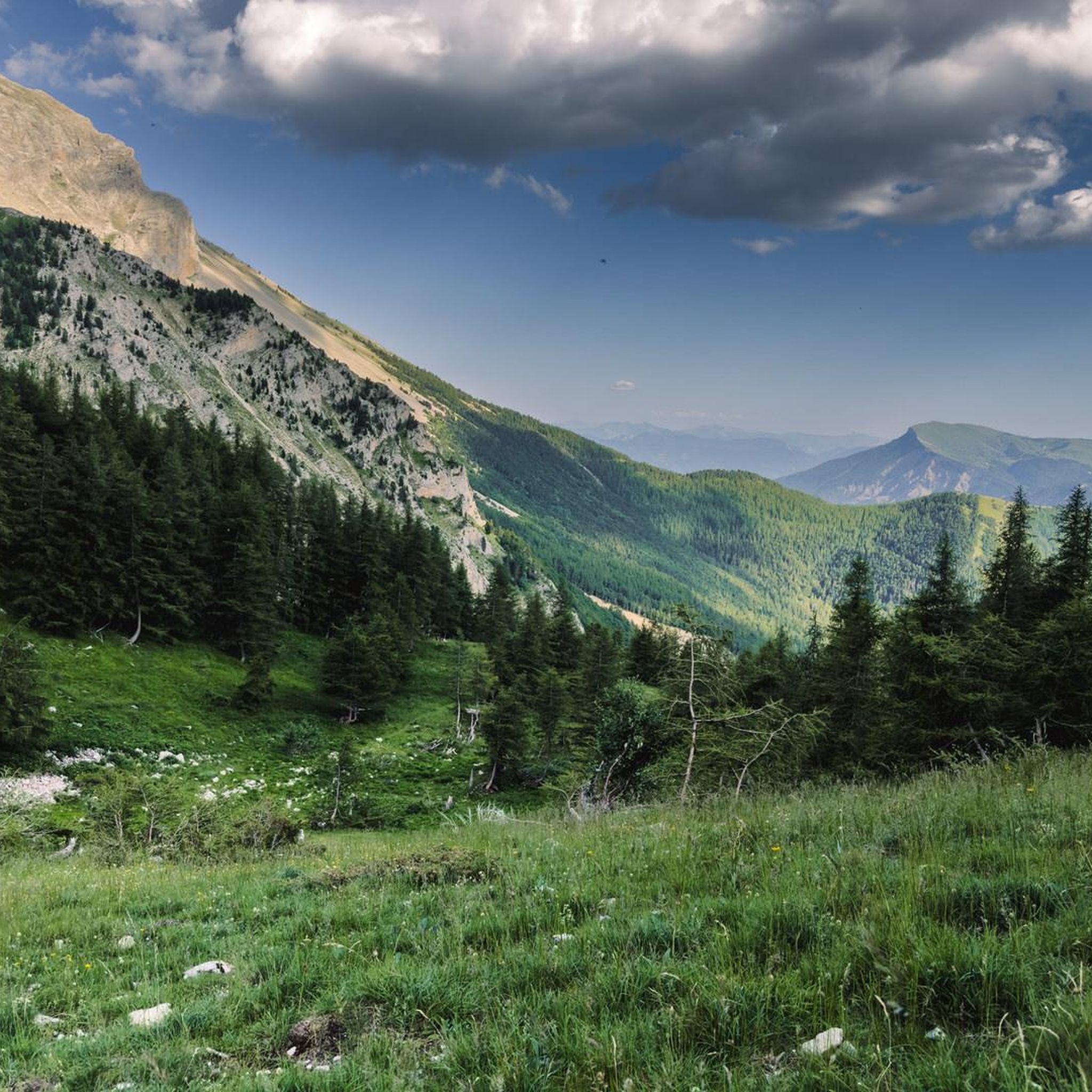
MTB Trails in Forêt Domaniale Des Sauvas
Gravel biking in Forêt Domaniale Des Sauvas

Mountain Hikes in Forêt Domaniale Des Sauvas

Tips from the Community

The Fontaine du Vallon is a water source. It also offers a spot of shade before facing the climb towards the Pic de Bure, very exposed to the sun. This is a good spot to rest before continuing.
0
0
La Combe d'Aurouze is an immense and steep scree which provides access to the Bure plateau. A lunar atmosphere with mountain panoramas. The landscape is striking.
0
0
The path winds through the middle of these flowery alpine meadows while offering magnificent panoramas towards Veynois and the Pays du Buëch.
0
0
The car park is accessible at the end of the Sauvas forest road. From there, you are at the start of the path which leads to the very mineral summits of Dévoluy.
0
0

The Pic de Bure is a 2,709-meter-high peak in the Dèvoluy massif. You will need sturdy hiking boots for the path, which is sometimes quite rocky, and a weatherproof jacket, as it can be extremely windy at the heights. You will be rewarded with a wonderful panoramic view.
2
1
A little above the hiking trail you can see the huge antennas of a radio interferometer. The contrast between this high-tech, science-fiction-like facility and the breathtaking natural landscape could hardly be greater.
1
0
Wonderful, green path with a wonderful panorama towards Veynois and Pays du Buëch.
0
0
Frequently Asked Questions
How many running routes are available in Forêt Domaniale Des Sauvas?
Forêt Domaniale Des Sauvas offers a wide selection of running routes, with over 110 trails available on komoot. These routes cater to various fitness levels, ranging from easy forest paths to challenging mountainous ascents.
What kind of terrain can I expect on the jogging trails in Forêt Domaniale Des Sauvas?
Joggers in Forêt Domaniale Des Sauvas will encounter diverse terrain, from serene forest paths to more rugged mountainous landscapes. The area features dense woodlands, open plateaus, and significant elevation changes, particularly around the dramatic Pic de Bure. You can expect a mix of surfaces, including dirt trails and rocky sections.
Are there any easy running routes suitable for beginners or a relaxed jog?
Yes, there are several easier options. For a less strenuous run with gentle gradients, consider the Running loop from Sérigons. This moderate 4.8-mile (7.7 km) path is often completed in about 50 minutes, offering a pleasant experience without significant climbs.
Where can I find challenging running routes with significant elevation gain?
For those seeking a challenge, routes leading towards the Pic de Bure offer substantial elevation gain. The Plateau de Bure – Pic de Bure loop from Pré Fontaine is a difficult 9.0-mile (14.5 km) trail with over 1300 meters of ascent, providing a demanding workout and stunning views.
Are there any circular running routes in the Forêt Domaniale Des Sauvas?
Many of the running routes in Forêt Domaniale Des Sauvas are circular, allowing you to start and finish at the same point. An excellent example is the Château de Montmaur loop from Montmaur, a 6.1-mile (9.9 km) trail that takes you through varied terrain around Montmaur.
What are some notable natural features or landmarks to see while running?
The region is rich in natural beauty. You can enjoy views of the impressive Pic de Bure, explore the picturesque cirque des Sauvas, or experience the unique 'lunar atmosphere' of the Combe d'Aurouze. The forest itself is majestic, with diverse tree species like larch, fir, Scots pine, and beech.
Are the running trails in Forêt Domaniale Des Sauvas suitable for families?
Yes, there are trails suitable for families, especially those looking for easier, less strenuous options. While specific 'family-friendly' routes are not explicitly categorized, many of the moderate and shorter loops with gentle gradients can be enjoyed by families. Always check the route's difficulty and elevation profile to ensure it matches your family's capabilities.
Can I bring my dog on the running trails in Forêt Domaniale Des Sauvas?
Generally, dogs are welcome on trails in Forêt Domaniale Des Sauvas. However, it's always recommended to keep your dog on a leash, especially in areas where wildlife might be present or near grazing animals. Please ensure you clean up after your pet to maintain the natural environment for everyone.
What do other runners enjoy most about jogging in Forêt Domaniale Des Sauvas?
The running routes in Forêt Domaniale Des Sauvas are highly rated by the komoot community, with an average score of 4.4 stars from over 50 reviews. Runners often praise the diverse landscapes, the peaceful forest atmosphere, and the stunning mountain panoramas, particularly those found on trails leading to the Pic de Bure.
Are there any running routes that offer panoramic viewpoints?
Absolutely. Many routes, especially those that ascend to higher elevations, provide breathtaking views. Trails leading towards the Pic de Bure, such as the Plateau de Bure – Pic de Bure loop from Montmaur, offer dramatic mountain panoramas and expansive vistas of the surrounding Hautes-Alpes region.
Is there parking available near the running trailheads?
Yes, parking is generally available at common starting points for trails within Forêt Domaniale Des Sauvas. For example, locations like Pré Fontaine or Montmaur, which serve as trailheads for popular routes, typically have designated parking areas. The Col de Gaspardon, situated in the heart of the forest, is also a popular spot with nearby shaded picnic areas that can serve as a starting point.
What is the best season for running in Forêt Domaniale Des Sauvas?
The best season for running in Forêt Domaniale Des Sauvas is typically from spring through autumn. During these months, the weather is generally mild, and the trails are clear. Summer offers lush greenery and longer daylight hours, while autumn provides beautiful foliage. Winter running is possible but may require appropriate gear for snow and ice, especially at higher altitudes.
Most popular routes in Forêt Domaniale Des Sauvas

Get inspired with the komoot mobile app


Explore more
Browse the best Running Trails & Routes in other regions.
