The best cycling routes in Forêt De Malmort
4.7
(77)
1,592
riders
70
rides
Touring cycling routes in Forêt De Malmort traverse a landscape characterized by dense woodlands, significant elevation changes, and mountain passes. The region features a mix of challenging climbs and scenic descents, often leading through valleys and past water bodies like the Sautet dam. This terrain provides varied conditions for touring cyclists, from forested paths to more open, elevated sections.
Best touring cycling routes in Forêt De Malmort
- The most popular touring cycling route is Col du Festre – Collet du…
Last updated: October 4, 2026
4.9
(10)
118
riders
41.3km
03:02
930m
930m
Hard bike ride. Very good fitness required. Mostly paved surfaces. Suitable for all skill levels.
5.0
(2)
98
riders
37.5km
02:47
920m
920m
Hard bike ride. Very good fitness required. Mostly paved surfaces. Suitable for all skill levels.

4.5
(4)
58
riders
45.5km
04:47
1,450m
1,450m
Hard bike ride. Very good fitness required. Mostly paved surfaces. Suitable for all skill levels.
3.5
(2)
34
riders
23.3km
01:43
540m
540m
Hard bike ride. Very good fitness required. Mostly paved surfaces. Suitable for all skill levels.
4.0
(1)
21
riders
22.8km
02:08
400m
400m
Moderate bike ride. Good fitness required. Mostly paved surfaces. Suitable for all skill levels.
Get access to more routes and recommendations from other explorers.
Already have an account?
Our route recommendations are based on thousands of hikes, rides, and runs completed by other people on komoot.
Start today with a free account
Your next adventure awaits.


Tips from the Community

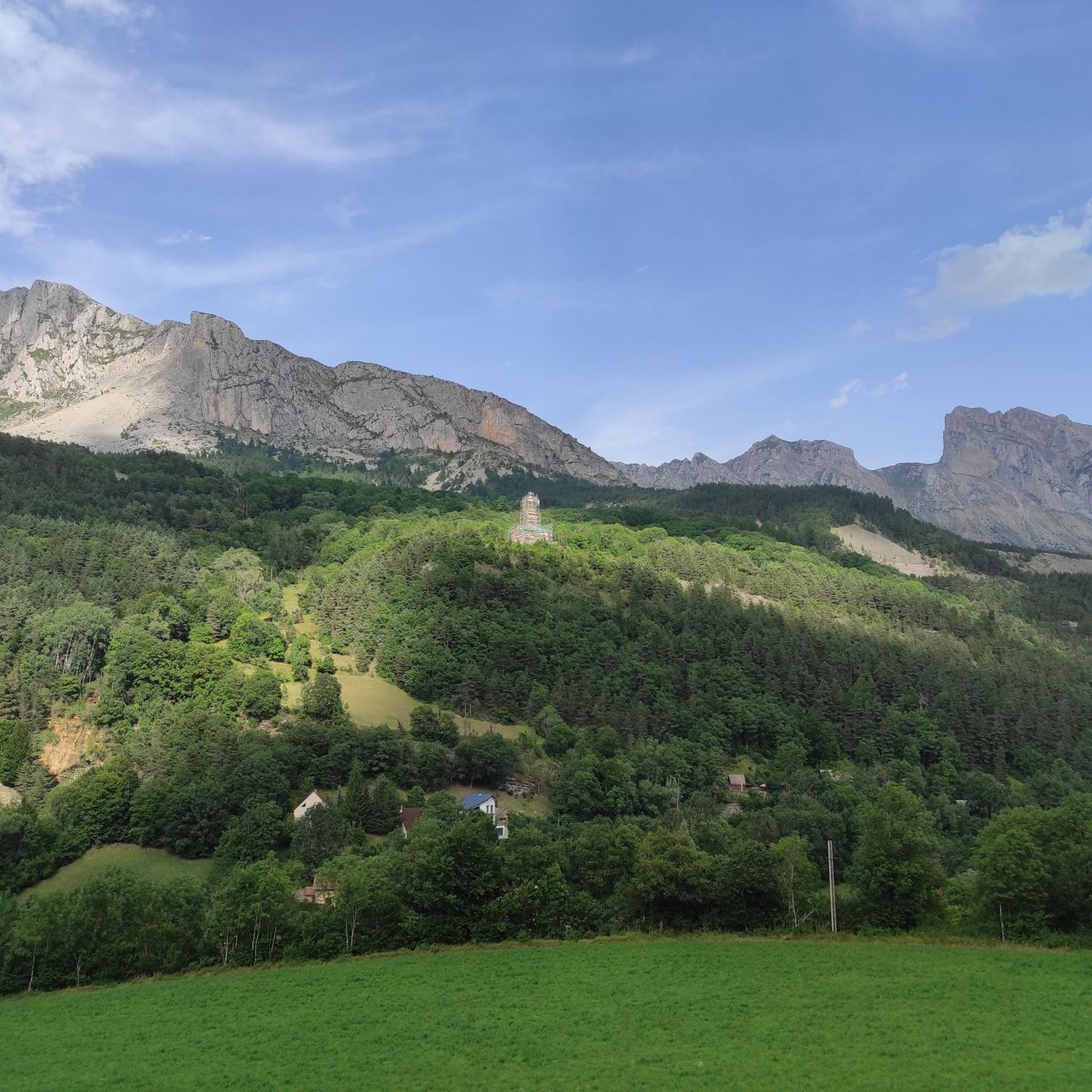
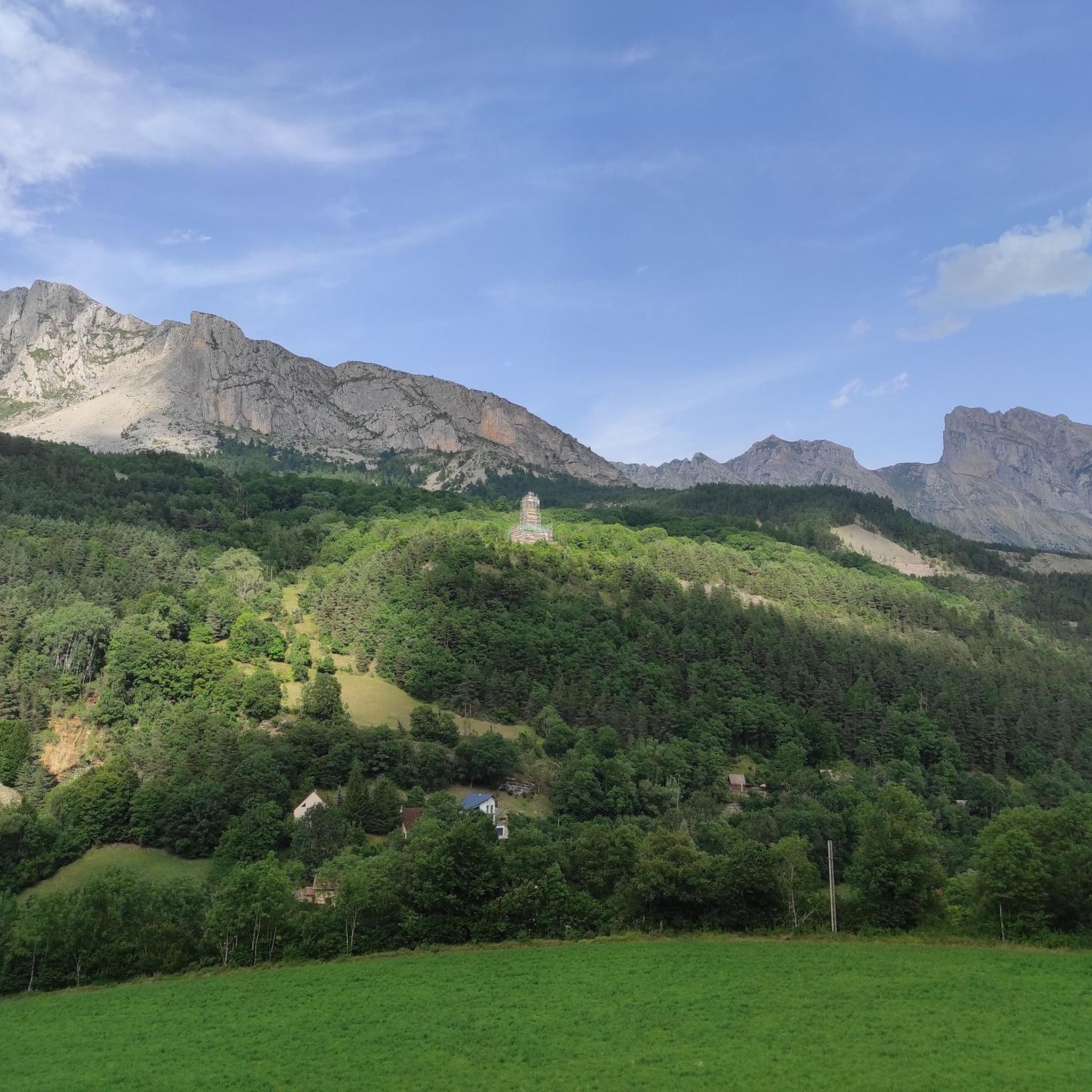
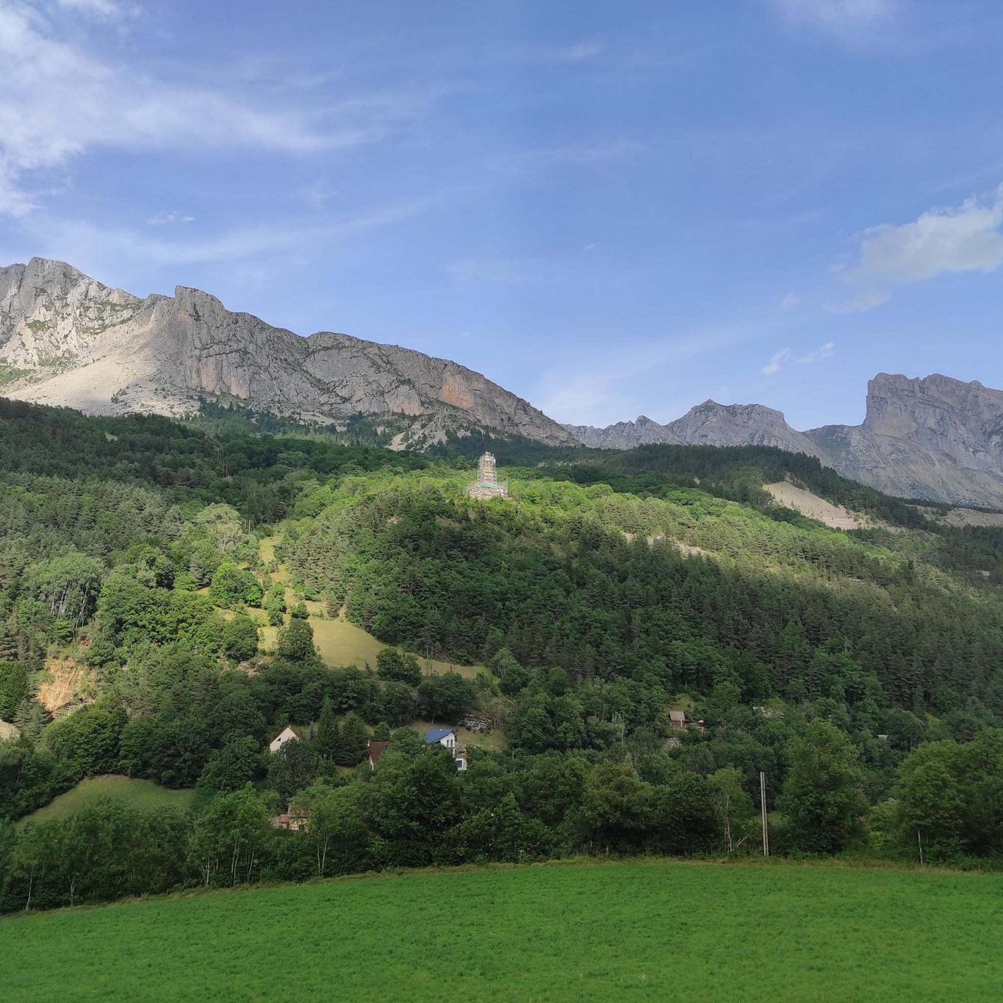
The Col du Festre is an Alpine pass located in the Dévoluy massif, in the Hautes-Alpes department, at an altitude of 1,441 meters. It connects the Buëch valley with that of the Souloise and is one of the main accesses to the Dévoluy territory.
7
0

Beautiful pass with a great panorama and little traffic!
1
0

The color of the water is really beautiful.
26
0
Very wide road with asphalt in impeccable condition. Panoramas 5 ⭐️
23
0
At times challenging climb with practically non-existent traffic. Panorama of indescribable beauty.
24
0

Magnificent Switchbacks! Real mountain road. When you arrive from Devoluy, discovering the view of Champsaur is absolutely magnificent. The descent is also very beautiful and fun but beware it remains a pass open to traffic even if the latter remains very light.
0
0

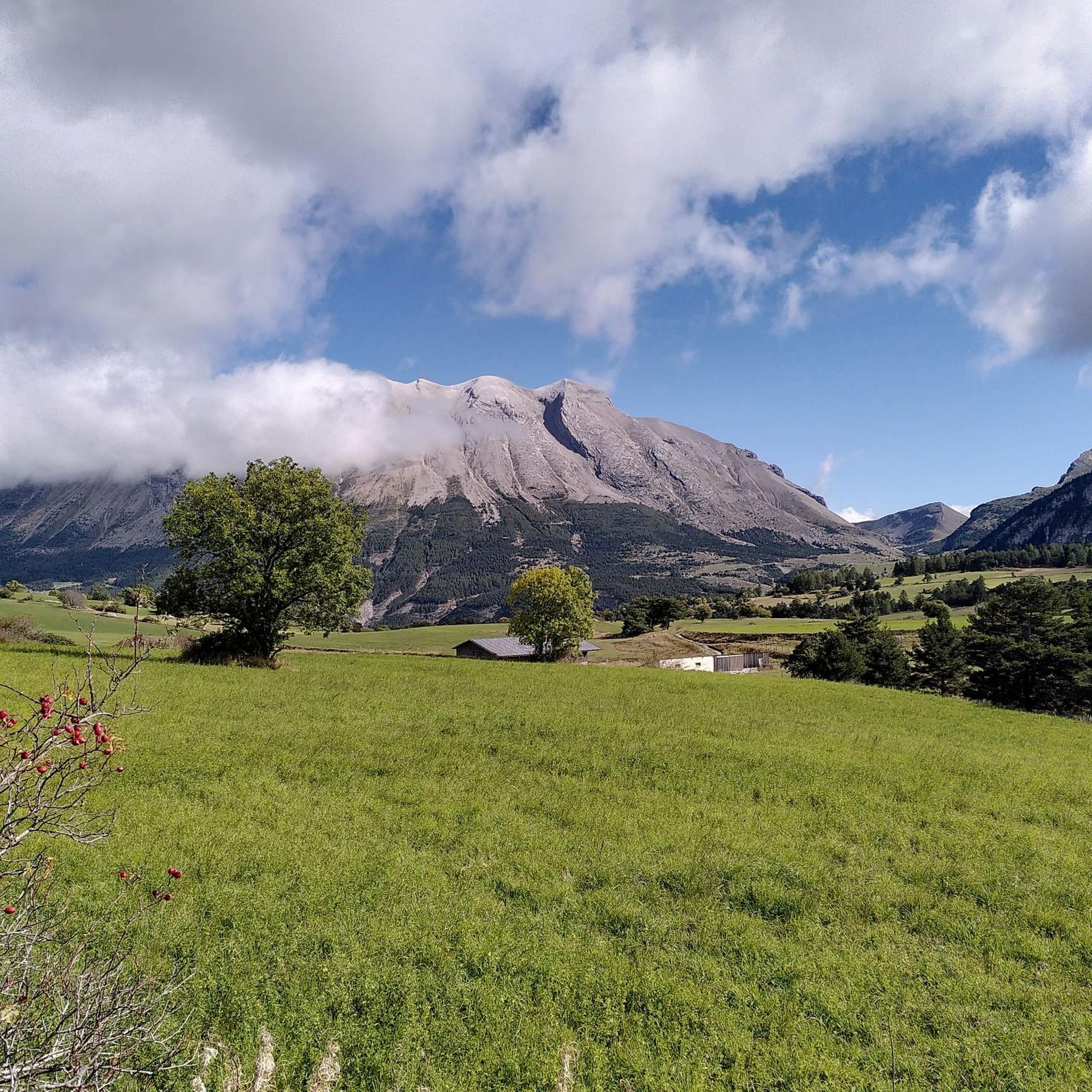
The Col de Noyer is a French mountain pass that separates the valleys of Champsaur and the Dévoluy region, in the Hautes-Alpes department. At an altitude of 1664 m, it is located between the Pic Ponsin and the Tête du Tourneau. It crosses the eastern ridge of the Dévoluy limestone massif.
1
0
Frequently Asked Questions
What is the general difficulty level of touring cycling routes in Forêt De Malmort?
Forêt De Malmort offers a diverse range of touring cycling routes, with a significant number featuring challenging climbs and descents. Out of 63 available routes, 38 are classified as difficult, 23 as moderate, and 2 as easy. This indicates that the region is particularly well-suited for cyclists seeking a more demanding experience, often involving substantial elevation gain over mountain passes.
Are there any easy or family-friendly touring cycling routes in Forêt De Malmort?
While Forêt De Malmort is known for its challenging terrain, there are a few options for easier rides. The guide lists 2 routes classified as easy. However, given the region's characteristic dense woodlands, significant elevation changes, and mountain passes, most routes tend to be moderate to difficult. For families or beginners, it's advisable to carefully check the route profiles for elevation and distance before setting out.
What kind of terrain can I expect on touring cycling routes in Forêt De Malmort?
Touring cycling in Forêt De Malmort primarily involves navigating dense woodlands, significant elevation changes, and mountain passes. You'll encounter a mix of challenging climbs and scenic descents, often leading through valleys and past water bodies such as the Sautet dam. The terrain varies from forested paths to more open, elevated sections, providing a dynamic cycling experience.
What are some examples of moderate touring cycling routes in the region?
For those looking for a balanced ride, a moderate option is the Col du Festre – Col du Festre (1441 m) loop from Rioupes. This 10.9-mile (17.6 km) path offers varied terrain with views of the Col du Festre without the extreme demands of the more difficult routes.
What are some longer, more challenging touring cycling routes in Forêt De Malmort?
For experienced touring cyclists seeking a significant challenge, the Col du Festre – Col du Festre (1441 m) loop from Saint-Disdier is a notable option. This route spans 43.3 miles (69.6 km) and features substantial ascents, typically taking over 7 hours to complete. Another demanding route is the Col du Festre – Collet du Tat loop from Saint-Disdier, which is 28.9 miles (46.6 km) long and includes significant climbs over mountain passes.
Are there any circular touring cycling routes available?
Yes, many of the touring cycling routes in Forêt De Malmort are designed as loops, allowing you to start and finish at the same point. Examples include the Col du Festre – Col du Festre (1441 m) loop from Rioupes and the Sautet dam – Camping du Lac loop from Saint-Disdier. These circular routes are convenient for day trips as they eliminate the need for return transport.
What is the best time of year for touring cycling in Forêt De Malmort?
Given the region's mountainous characteristics and dense forests, the best time for touring cycling in Forêt De Malmort is typically from late spring through early autumn (May to October). During these months, the weather is generally milder, and mountain passes are clear of snow, offering optimal conditions for cycling. Winter cycling can be challenging due to snow and ice, especially at higher elevations.
What kind of attractions or landmarks can I expect to see along the routes?
The touring cycling routes in Forêt De Malmort often lead through scenic natural landscapes. You can expect to see dense woodlands, impressive mountain passes, and picturesque valleys. The region also features water bodies like the Sautet dam, which can be a point of interest. For example, the Sautet dam – Camping du Lac loop from Saint-Disdier specifically highlights the dam.
What do other touring cyclists say about the routes in Forêt De Malmort?
The touring cycling routes in Forêt De Malmort are highly regarded by the komoot community, with an average rating of 4.6 stars from over 40 reviews. Cyclists often praise the challenging nature of the routes, the stunning natural scenery, and the sense of accomplishment gained from conquering the region's mountain passes and varied terrain.
Are there options for parking near the starting points of these routes?
Many touring cycling routes in Forêt De Malmort begin in or near villages and towns such as Saint-Disdier, Rioupes, or Le Dévoluy. These locations typically offer public parking facilities, making it convenient to access the trails. It's always a good idea to check specific starting points on komoot for detailed information on parking availability.
How accessible are the touring cycling routes by public transport?
Access to the more remote parts of Forêt De Malmort by public transport can be limited, as is common in many mountainous and forested regions. However, starting points in larger villages or towns like Saint-Disdier or Le Dévoluy may have better public transport connections. For optimal flexibility, many cyclists choose to drive to their chosen starting point.
What should I wear for touring cycling in Forêt De Malmort?
Given the varied terrain and potential for significant elevation changes, it's advisable to wear appropriate cycling gear that can adapt to changing conditions. Layers are recommended, including a moisture-wicking base layer, a mid-layer for warmth, and a windproof/waterproof outer shell. Don't forget a helmet, gloves, and sunglasses. Always check the weather forecast before your ride, especially for mountain passes where conditions can change rapidly.
Most popular routes in Forêt De Malmort

Get inspired with the komoot mobile app


Explore more
Browse the best Cycling routes in other regions.
