The best running trails around Chamoim
4.7
(3)
368
runners
18
runs
Jogging around Chamoim offers a diverse landscape primarily within the Peneda-Gerês National Park, characterized by significant elevation changes and scenic viewpoints. The region features a mix of natural trails and historical paths, including ancient Roman roads. Runners can expect routes that traverse varied terrain, from forested areas to open vistas overlooking villages and valleys.
Best jogging routes around Chamoim
- The most popular jogging route is Trilho da Calcedónia (PR 1) — Peneda-Gerês National Park, a 4.2 miles (6.7 km)…
Last updated: October 7, 2026
17
runners
6.70km
01:03
390m
390m
Hard run. Very good fitness required. Mostly paved surfaces. Suitable for all skill levels.
112
runners
39.5km
04:56
1,340m
1,340m
Hard run. Very good fitness required. Sure-footedness, sturdy shoes and alpine experience required.

4.0
(1)
24
runners
10.2km
01:26
600m
600m
Hard run. Very good fitness required. Mostly paved surfaces. Suitable for all skill levels.
27
runners
11.6km
01:47
650m
650m
Hard run. Very good fitness required. Sure-footedness, sturdy shoes and alpine experience required.
14
runners
8.31km
01:00
230m
230m
Moderate run. Good fitness required. Mostly paved surfaces. Suitable for all skill levels.
Get access to more routes and recommendations from other explorers.
Already have an account?
Our route recommendations are based on thousands of hikes, rides, and runs completed by other people on komoot.
Start today with a free account
Your next adventure awaits.
Tips from the Community

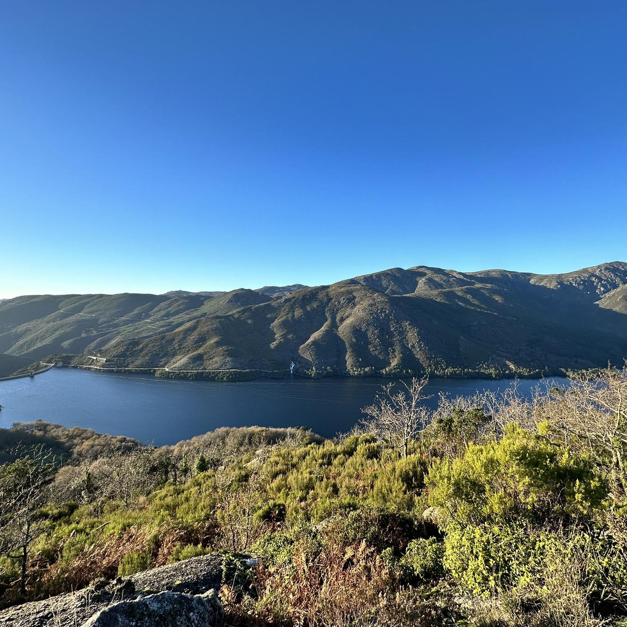
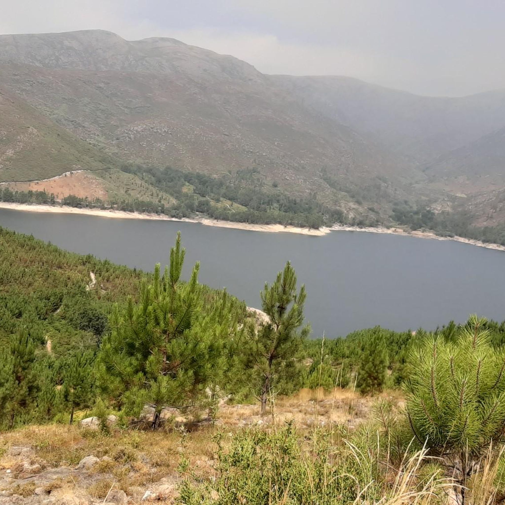
Leonte waterfall is now dry (August). Still a beautiful path to walk.
0
0

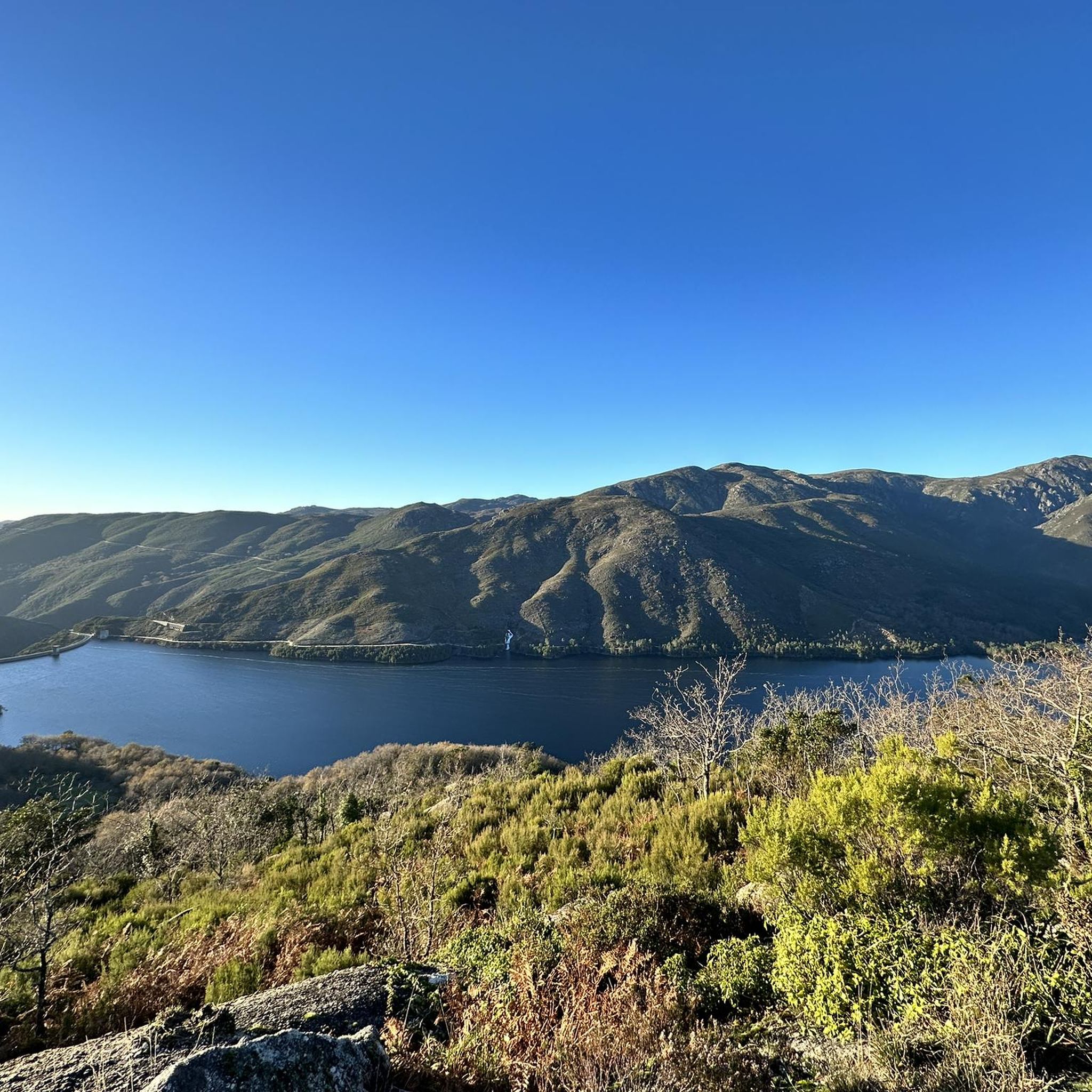
The Chalcedony Trail (PR1 TBR – Trilho da Cidade da Calcedonia) is one of the most iconic routes in Peneda-Gerês National Park, located in Covide (Braga), within the municipality of Terras de Bouro. It leads to the ruins of the City of Chalcedony, an ancient pre-Roman hill fort high in the mountains. It offers panoramic views over the Homem River valley and the Gerês mountains. The trail passes through native forests, rocky areas, and natural viewpoints.
2
0
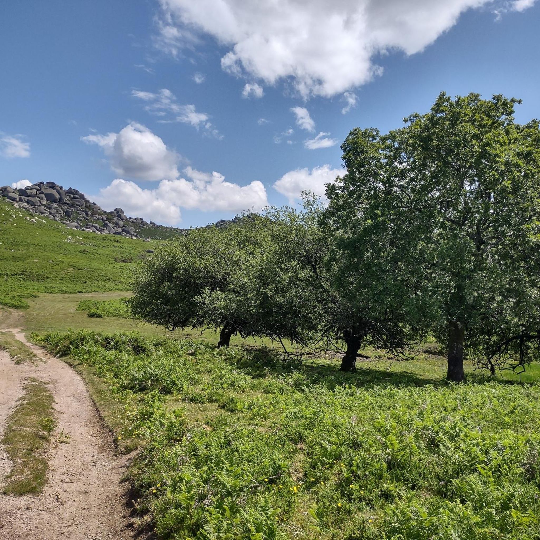
A spectacular rocky section where granite boulders rise like "sleeping giants" all around you. The trail ascends towards the peak of Curvaceira, at 919m, and offers panoramic views of the deep Covide Valley.
2
0


Campo do Gerês is a picturesque village located in the heart of the Peneda-Gerês National Park. It is renowned as an ideal starting point for hiking and outdoor activities, offering access to trails, waterfalls and breathtaking views. The village itself retains a traditional atmosphere, with granite houses and a museum documenting local history, including Roman remains of the Via Nova (Geira).
0
0

The Calcedonia Crack is one of those passages that seems to have come straight out of an old fairy tale: a monumental crack between two granite giants. For those who like a challenge, the route involves climbing and jumping between huge blocks fitted together at the base. Going up is easier than going down: there is more support, more traction, and less hesitation. There is no need to cross it (the trail elegantly skirts the crack) but, for the more adventurous, facing this crack is almost a ritual: a mix of adrenaline, vertigo and raw landscape that leaves its mark on those who pass by.
1
1
As you climb, the granite blocks grow around you like sleeping giants. To the south, the Curvaceira rises up at 919 metres. To the north, the Covide valley stretches out below, green and deep. Here, the barrosãs roam freely among the rocks, but those who run know: this is the hard part. Tapered trails, serious ramps and rock that sometimes begs for a handhold on the ground. This is the mountain in its purest form, above 800 metres. Raw, beautiful and unforgettable.
1
1

Frequently Asked Questions
How many running routes are available around Chamoim?
There are over 20 running routes around Chamoim listed on komoot. These routes primarily traverse the Peneda-Gerês National Park, offering a range of challenging options for runners.
Are there any easy running trails for beginners in Chamoim?
While Chamoim is known for its challenging terrain, there are 6 moderate running routes available. These might be suitable for beginners looking to gradually increase their fitness, though they still involve significant elevation changes typical of the Peneda-Gerês National Park.
What are some scenic viewpoints I can enjoy while jogging in Chamoim?
The region around Chamoim is rich with scenic viewpoints. You can find stunning vistas along routes like Miradouro da Fraga Negra – Miradouro Junceda loop from Gerês. Specific highlights include View of Cascata do Arado and Miradouro das Rocas, offering breathtaking panoramas of the landscape.
Are there any circular running routes in Chamoim?
Yes, many of the running routes in Chamoim are circular, allowing you to start and finish at the same point. An example is the Miradouro Velho da Pedra Bela – Abrigo loop from Gerês, which offers a challenging 10.4 km run with significant elevation.
Can I find running routes that pass by waterfalls in Chamoim?
Absolutely! The Peneda-Gerês National Park area around Chamoim features beautiful waterfalls. You can explore routes that offer views of cascades like Rajada Waterfall, providing refreshing sights during your run.
What kind of historical sites can I see on running trails near Chamoim?
Chamoim's running trails often incorporate historical paths, including ancient Roman roads. The Campo do Gerês Roman Road – Campo do Gerês village loop from Gerês is a prime example, allowing you to run along these historic routes and explore village surroundings.
What do other runners say about the trails in Chamoim?
The running routes in Chamoim are highly rated by the komoot community, with an average score of 4.5 stars. Runners often praise the challenging terrain, the stunning national park landscapes, and the numerous viewpoints that make for a rewarding experience.
Are there any running routes suitable for families with children in Chamoim?
Given the significant elevation changes and the prevalence of 'difficult' rated routes, most trails directly around Chamoim are more suited for experienced runners. However, some of the moderate routes might be manageable for active families, but always check the route details for distance and elevation before heading out.
What is the best season for running in Chamoim?
The Peneda-Gerês National Park, where Chamoim is located, offers beautiful scenery year-round. Spring and autumn generally provide milder temperatures, which are ideal for running. Summer can be warm, while winter might bring cooler, potentially wet conditions, so always check local weather forecasts.
Are there any specific natural monuments to look out for on the running trails?
Yes, the region is home to unique natural monuments. Keep an eye out for the Fenda da Calcedónia, a notable gorge, and the impressive Granite Rock Formations of Peneda-Gerês National Park, which are characteristic of the landscape you'll encounter on many trails.
What is the typical duration for a running route in Chamoim?
Running routes in Chamoim vary significantly in length and duration due to the challenging terrain. For instance, the Trilho da Calcedónia (PR 1) — Peneda-Gerês National Park takes about 1 hour 3 minutes for 6.7 km, while longer routes like the View of Gerês village loop from Gerês can take around 2 hours 28 minutes for 20.5 km.
Most popular attractions around Chamoim

Get inspired with the komoot mobile app


Explore more
Browse the best Running Trails & Routes in other regions.
