The best walks and hikes around Chamoim
4.5
(1775)
6,466
hikers
98
hikes
Hiking around Chamoim, located in Braga, Portugal, offers a diverse landscape characterized by river valleys, reservoirs, and historical sites. The region features trails that traverse varied terrain, including paths alongside the Rio Homem Reservoir and routes leading to moderate summits. Hikers can explore areas with Roman-era landmarks and natural rock formations. This network of trails provides opportunities for different levels of activity, from riverside walks to more challenging ascents.
Best hiking trails around Chamoim
- The most popular hiking route is…
Last updated: October 11, 2026
4.7
(19)
42
hikers
Moderate hike. Good fitness required. Easily-accessible paths. Suitable for all skill levels.
4.7
(12)
58
hikers
Moderate hike. Good fitness required. Easily-accessible paths. Suitable for all skill levels.

4.8
(15)
47
hikers
Moderate hike. Good fitness required. Easily-accessible paths. Suitable for all skill levels.
4.8
(9)
43
hikers
Moderate hike. Good fitness required. Easily-accessible paths. Suitable for all skill levels.
4.8
(8)
39
hikers
16.2km
05:07
630m
630m
Hard hike. Very good fitness required. Easily-accessible paths. Suitable for all skill levels.
Get access to more routes and recommendations from other explorers.
Already have an account?
Our route recommendations are based on thousands of hikes, rides, and runs completed by other people on komoot.
Start today with a free account
Your next adventure awaits.
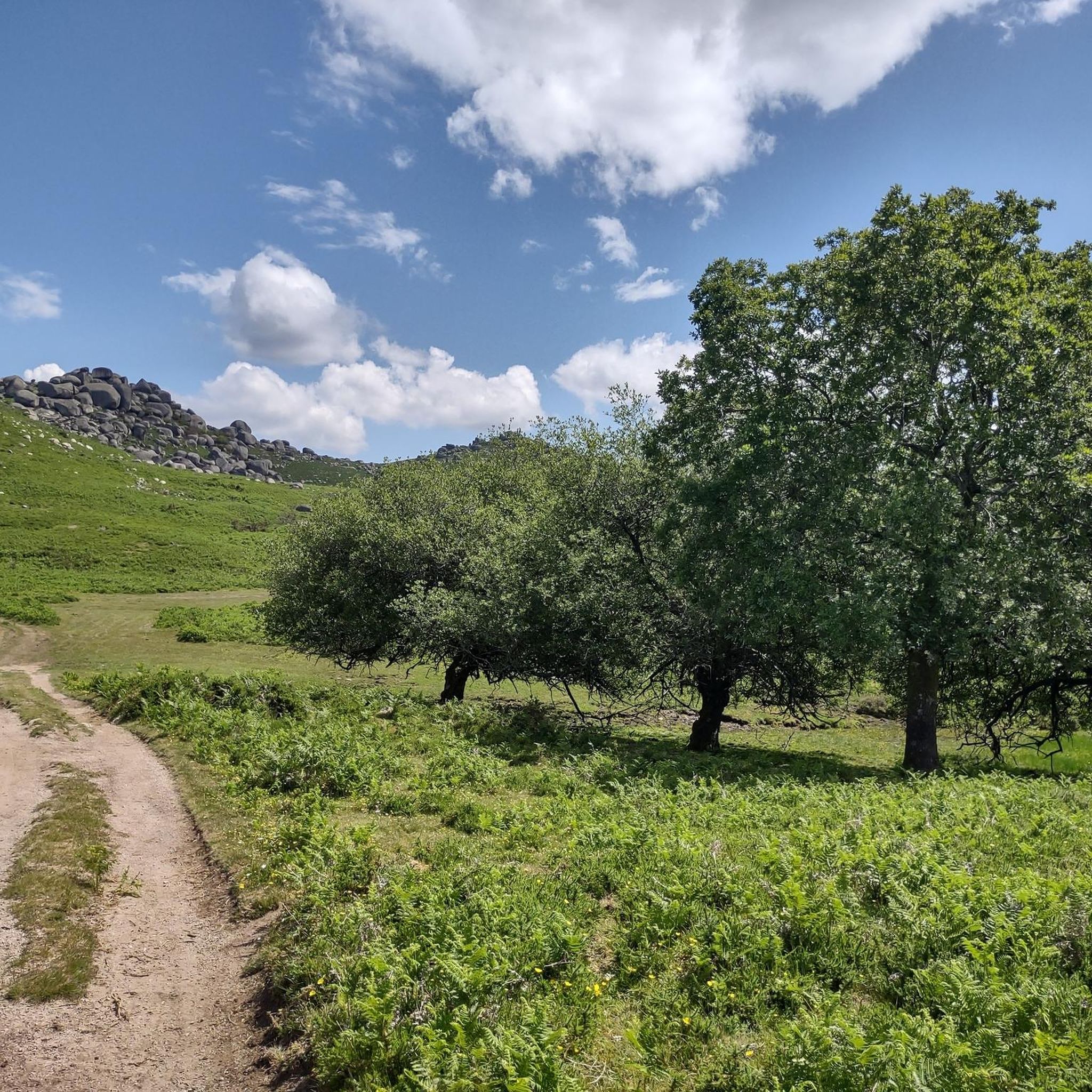
Tips from the Community

It is located in the parish of Rio Caldo, municipality of Terras de Bouro, Braga. Very close to the Sanctuary of São Bento da Porta Aberta and the lagoon's pier. Photo: The bridge, surrounded by calm waters and mountains, is very photogenic.
2
0

A romantic spot under old trees by a rushing stream. We were here in June, and there was still plenty of water—a truly mystical setting for relaxation and dreaming.
0
1

A very beautiful waterfall with a loud noise from the falling water, located next to the Vilarinho das Furnas Dam, more or less halfway along the sand road that serves the site of the old village of Vilarinho.
0
0

Can sometimes be easily reached by car.
1
0


https://de.m.wikipedia.org/wiki/Basilika_St._Benedikt_der_offenen_T%C3%BCr Portuguese second largest pilgrimage site after Fátima, which is visited by several thousand / million pilgrims every year.
0
0

Access to the area where the village is flooded is via a dirt road used privately by the former residents of Vilarinho da Furna and closed by a barrier. Access by car is sometimes possible in the summer months for a fee. The rest of the year access is only possible on foot.
3
1
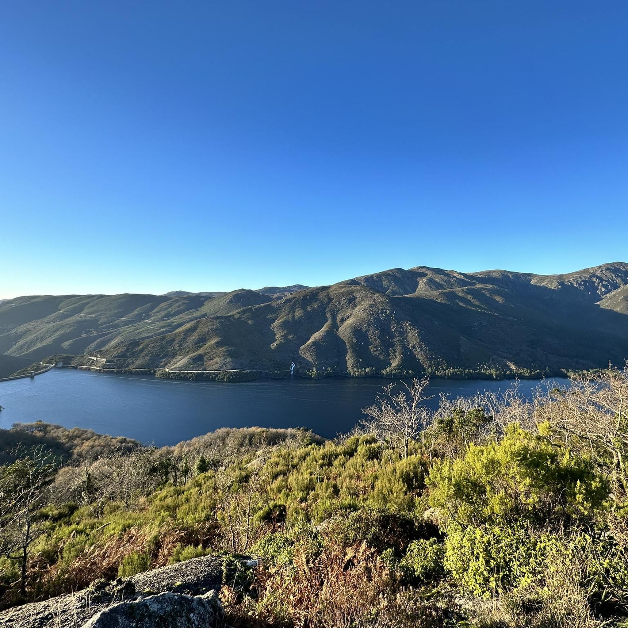
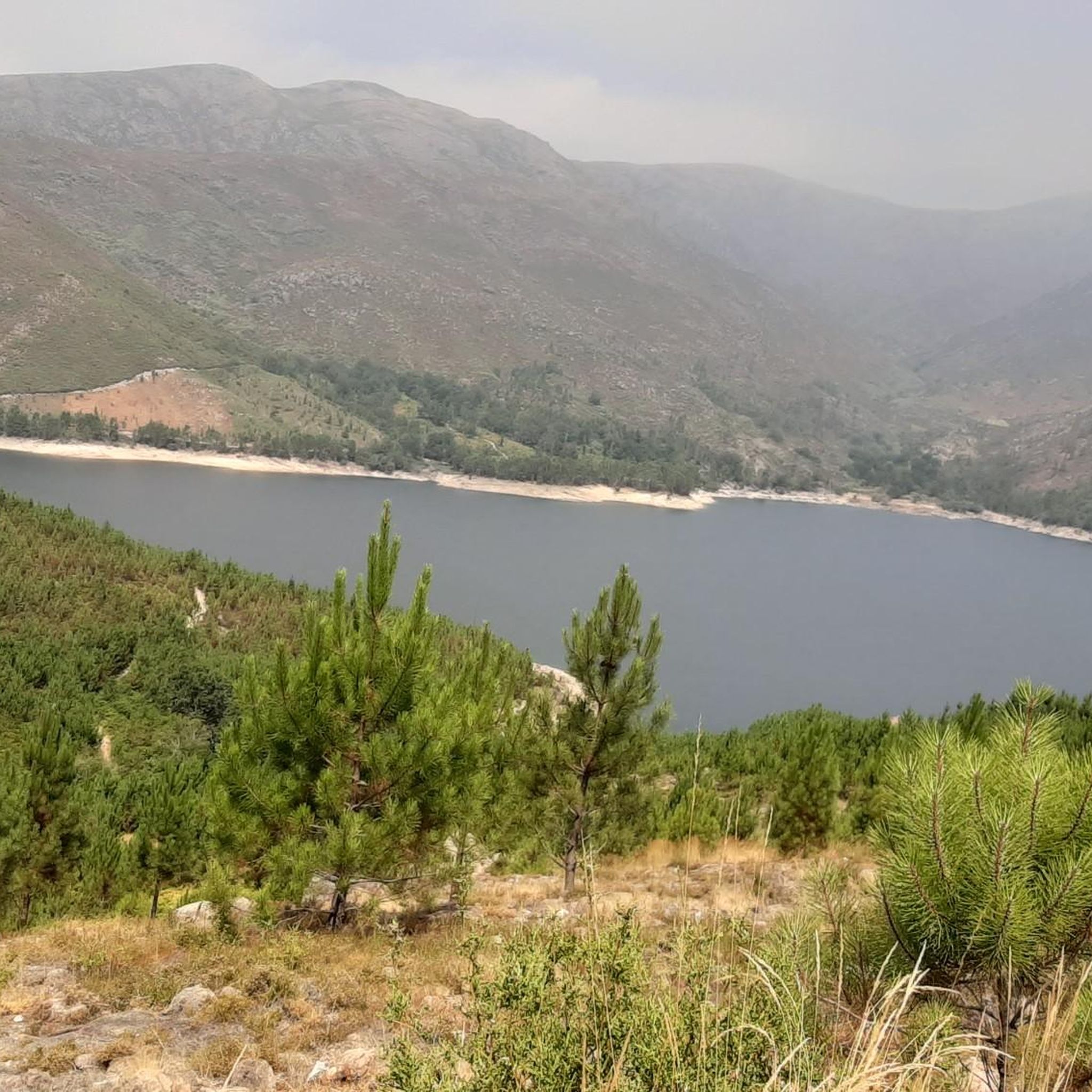
The dam dams the River Homem into a reservoir. The dam and the associated reservoir are located on the edge of the Peneda-Gerês National Park. About 1 km southeast of the dam is the municipality of Campo do Gerês. The project to build the dam began in 1966. The construction was completed in 1972. In addition to generating electricity, the dam also serves as flood protection.
2
1
Frequently Asked Questions
What kind of landscapes can I expect to see while hiking in Chamoim?
Hiking in Chamoim, Braga, Portugal, offers a diverse landscape characterized by river valleys, reservoirs, and historical sites. You'll find trails that traverse varied terrain, including paths alongside the Rio Homem Reservoir and routes leading to moderate summits, often featuring natural rock formations.
Are there any easy hiking trails suitable for beginners in Chamoim?
Yes, Chamoim offers a good selection of trails suitable for beginners. Out of the 100 available routes, 23 are classified as easy, providing accessible options for those new to hiking or looking for a more relaxed experience.
Can I find circular hiking routes in Chamoim?
Many trails in Chamoim are designed as loops, offering varied scenery without retracing your steps. For example, the View of the Rio Homem Reservoir – Campo do Gerês Roman Road loop from Campo do Gerês is a popular moderate circular route that showcases both natural beauty and historical elements.
What historical landmarks can I explore on the trails around Chamoim?
Chamoim's trails often feature historical sites. You can explore Roman-era landmarks, such as those found on the Roman Milestone XXVI – Fenda da Calcedónia loop from Covide, which passes by ancient Roman milestones and natural rock formations. Another route, Ruins of Vilarinho da Furna – Campo do Gerês village loop from Campo do Gerês, takes you past the ruins of Vilarinho da Furna.
Are there any waterfalls to see on hikes in Chamoim?
Yes, the region around Chamoim is home to several beautiful waterfalls. You can visit the Rajada Waterfall or the Cascata do Ribeiro de Gemesura. The View of Cascata do Arado also offers a stunning vista of another notable waterfall.
What do other hikers enjoy most about the trails in Chamoim?
The trails in Chamoim are highly rated by the komoot community, with an average score of 4.5 stars from over 1700 reviews. Hikers frequently praise the diverse terrain, which includes river valleys, reservoirs, and historical sites, offering a rich and varied experience for all ability levels.
Are there any trails that offer views of reservoirs or rivers?
Absolutely. Many routes in Chamoim highlight the region's water features. The View of the Rio Homem Reservoir – Campo do Gerês Roman Road loop from Campo do Gerês provides excellent views of the Rio Homem Reservoir. Additionally, the Stone Bridge Over the Ribeiro – Stream bank with clear water loop from Rio Caldo follows riverine landscapes with clear water.
What is the best time of year to go hiking in Chamoim?
While specific seasonal details vary, the region's diverse landscapes of river valleys and reservoirs suggest that spring and autumn would offer pleasant temperatures and vibrant scenery. Summer can be warm, making early mornings or late afternoons ideal, while winter might offer a different, quieter experience, though some trails could be affected by weather conditions.
Are there any challenging hikes for experienced hikers in Chamoim?
Yes, for those seeking a greater challenge, Chamoim offers 20 difficult trails. These routes typically feature more significant elevation gains and longer distances, such as the Piorneiro Summit (992 m) – PR12 Trail of the Mills loop from Chorense e Monte, which includes a substantial ascent to a summit.
Are there any specific natural attractions or viewpoints to look out for?
Beyond the trails themselves, you can find several natural attractions. The Fenda da Calcedónia is a notable gorge, and the Caniçada Dam offers impressive views of a man-made monument integrated into the landscape. For scenic vistas, the View of Cascata do Arado is highly recommended.
How long do hikes in Chamoim typically take?
Hike durations in Chamoim vary widely depending on the route's length and difficulty. For example, a moderate trail like the View of the Rio Homem Reservoir – Campo do Gerês Roman Road loop from Campo do Gerês typically takes about 2 hours 32 minutes, while longer routes such as the Stone Bridge Over the Ribeiro – Stream bank with clear water loop from Rio Caldo can take around 4 hours 18 minutes.
Most popular attractions around Chamoim

Get inspired with the komoot mobile app


Explore more
Browse the best Hikes in other regions.
