The best road cycling routes around Chamoim
4.3
(20)
587
riders
17
rides
Road cycling routes around Chamoim are characterized by the mountainous terrain of the Gerês region, featuring significant elevation changes and winding roads. The landscape includes forested areas and views of the Caniçada Dam and surrounding valleys. Road cyclists can expect challenging climbs and descents, typical of a region with numerous natural water features and varied topography.
Best road cycling routes around Chamoim
- The most popular road cycling route is Valdosende Parish Church – Church of Saint Peter loop from Gerês…
Last updated: October 20, 2026
4.6
(8)
105
riders
76.9km
04:01
1,320m
1,320m
Hard road ride. Very good fitness required. Mostly well-paved surfaces and easy to ride.
5.0
(1)
49
riders
121km
06:31
2,270m
2,270m
Hard road ride. Very good fitness required. Mostly well-paved surfaces and easy to ride.

3.5
(2)
89
riders
48.0km
02:49
1,180m
1,180m
Hard road ride. Very good fitness required. Mostly well-paved surfaces and easy to ride.
53
riders
94.6km
05:19
2,100m
2,100m
Hard road ride. Very good fitness required. Mostly well-paved surfaces and easy to ride.
5.0
(1)
60
riders
86.7km
05:04
2,120m
2,120m
Hard road ride. Very good fitness required. Mostly well-paved surfaces and easy to ride.
Get access to more routes and recommendations from other explorers.
Already have an account?
Our route recommendations are based on thousands of hikes, rides, and runs completed by other people on komoot.
Start today with a free account
Your next adventure awaits.
Tips from the Community


Attention, this is an extremely dangerous place. You can never be too careful.
0
0

Impressive waterfalls with several pools, accessible with a bit of climbing. Some climbing aids have been anchored into the rock. However, since the waterfall is located near a road, you're rarely alone here. And there have been fatalities here, as the climb down to the lagoons is not without its dangers.
1
0

Ecovia on the banks of the Lima River
1
0

There is a large park to walk around, it is a peaceful place. I had never crossed the bridge, I waited until nightfall to see it. The bridge's lighting is missing.
1
0

Dam with a fantastic view, and also provides quick access to both banks...
0
0

A vast reservoir of the Rio Homem. You have a great view from the dam wall.
0
0

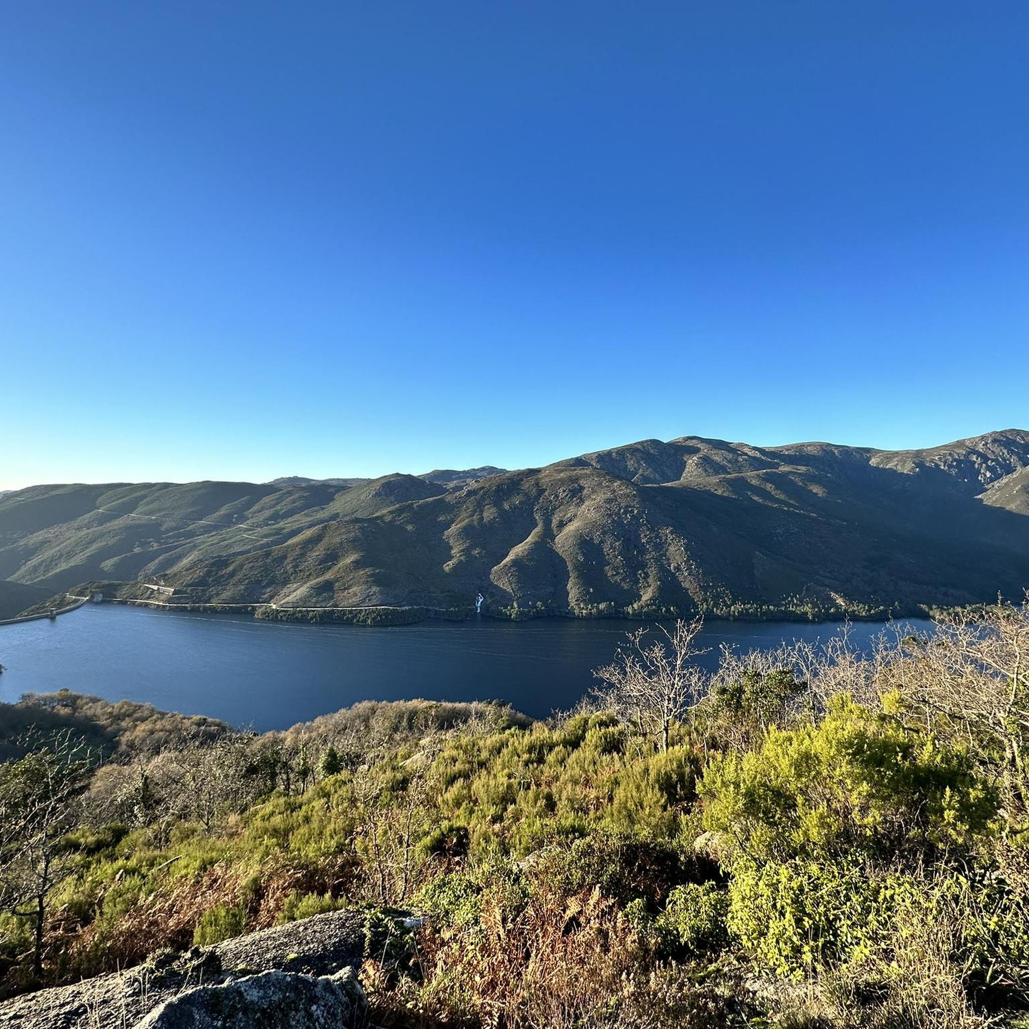
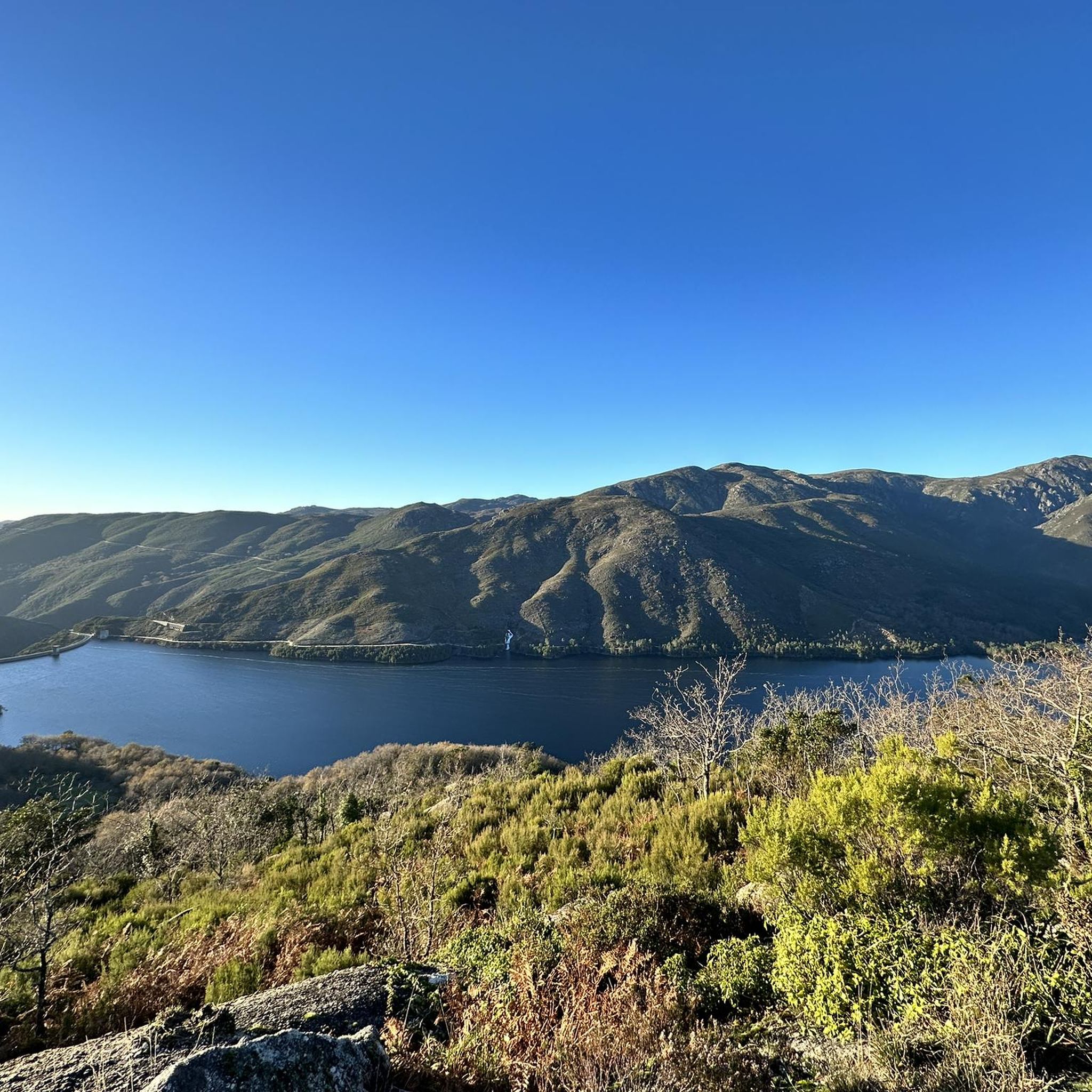
The Caniçada Dam (Portuguese: Barragem da Caniçada) is located in the Northern region of Portugal in the Braga district near the municipality of Caniçada. It dams up the Cávado River and its tributary Rio Gerês to form a four-armed reservoir (port. Albufeira (da Barragem) da Caniçada). In the middle of the reservoir, near the point where the Rio Gerês originally flowed into the Rio Cávado, the lake is bridged by two bridges. To the north of the reservoir is the Peneda-Gerês National Park and part of the lake area belongs to the national park. The city of Braga is located about 15 km southwest of the Caniçada dam. Upstream, the next hydroelectric power station on the Cávado is the Salamonde dam.
2
0
Frequently Asked Questions
Are there any easy road cycling routes around Chamoim suitable for beginners or families?
The road cycling routes around Chamoim are primarily characterized by challenging mountainous terrain with significant elevation changes. The guide data indicates that there are no easy road bike trails near Chamoim, with routes ranging from moderate to difficult. This region is best suited for experienced road cyclists looking for a demanding ride.
What are the typical lengths and durations of road cycling routes in Chamoim?
Routes in Chamoim vary in length and duration, reflecting the challenging terrain. For instance, the Valdosende Parish Church – Church of Saint Peter loop from Gerês is about 48.1 miles (77.3 km) and takes around 4 hours 2 minutes. A longer option, the Caniçada Dam – Ponte da Barca Bridge loop from Gerês, spans 75.1 miles (120.9 km) and typically requires about 6 hours 30 minutes to complete.
What kind of terrain and scenery can I expect on road cycling routes in Chamoim?
Road cycling in Chamoim offers a diverse and challenging landscape. You can expect significant elevation changes, winding roads, and forested areas. Many routes provide stunning views of the Caniçada Dam and surrounding valleys, characteristic of the Gerês region. The terrain is defined by challenging mountain passes and scenic dam views.
Are there any notable viewpoints or attractions along the road cycling routes?
Yes, the routes often pass by or offer views of significant landmarks. For example, the View of the Caniçada Dam – Salamonde Dam loop from Gerês provides excellent views of the Caniçada Dam. Other attractions in the broader area include the View of Cascata do Arado and the Rajada Waterfall, which are popular highlights in the region.
What is the best time of year for road biking in Chamoim?
The Gerês region, where Chamoim is located, experiences warm, dry summers and mild, wet winters. The spring (April-June) and autumn (September-October) months generally offer the most pleasant conditions for road cycling, with moderate temperatures and less rainfall, making the challenging climbs more enjoyable. Summers can be hot, especially on exposed sections.
Are the road cycling routes in Chamoim typically loop trails?
Many of the popular road cycling routes around Chamoim are designed as loops, allowing you to start and finish at the same point. Examples include the Valdosende Parish Church – Church of Saint Peter loop from Gerês and the View of the Caniçada Dam – Salamonde Dam loop from Gerês, providing convenient circular journeys through the landscape.
What do other road cyclists say about the routes in Chamoim?
The road cycling routes in Chamoim are highly regarded by the komoot community, holding an average rating of 4.5 stars from over 15 reviews. Cyclists frequently praise the challenging mountain passes, the scenic dam views, and the forested climbs that define the region's unique cycling experience.
Are there any road cycling routes that pass by waterfalls in the Chamoim area?
Yes, some routes offer opportunities to see waterfalls. For instance, the View of the National Park – Varzeas Waterfall loop from Gerês and the Caniçada Dam – Varzeas Waterfall loop from Gerês both feature the Varzeas Waterfall. Additionally, the Rajada Waterfall is another notable natural attraction in the vicinity.
Where can I find parking for road cycling routes in Chamoim?
While specific parking details for each trailhead are not provided, many routes, such as those starting 'from Gerês', imply that parking is generally available in or near the main towns and villages in the region. It is advisable to check local parking options in Gerês or other starting points before your ride.
Are there places to stop for refreshments or cafes along the road cycling routes?
Given the mountainous and sometimes remote nature of the Gerês region, amenities like cafes might be sparse on certain sections of the routes. However, routes that pass through or start from villages like Gerês or Valdosende are more likely to have options for refreshments. It's always a good idea to carry sufficient water and snacks, especially on longer rides.
What makes the road cycling routes in Chamoim challenging?
The primary challenge of road cycling in Chamoim stems from the region's mountainous topography. Cyclists should expect significant elevation gains and losses, with routes featuring numerous climbs and descents. The winding roads and varied terrain, typical of the Gerês region, demand good fitness and cycling experience.
How many road cycling routes are available in the Chamoim area?
There are 17 road cycling routes available in the Chamoim area, offering a variety of options for cyclists seeking challenging rides through the mountainous landscape of the Gerês region.
Most popular attractions around Chamoim

Get inspired with the komoot mobile app


Explore more
Browse the best Road cycling routes in other regions.
