The best walks and hikes around Hürther Waldsee
4.5
(11583)
55,112
hikers
1,329
hikes
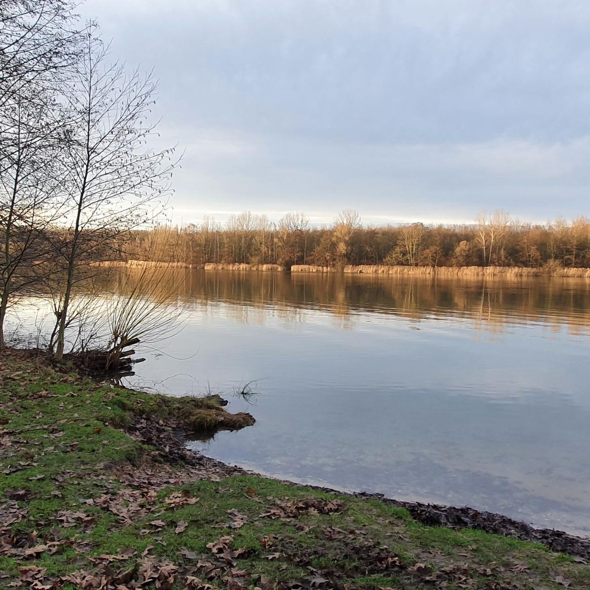
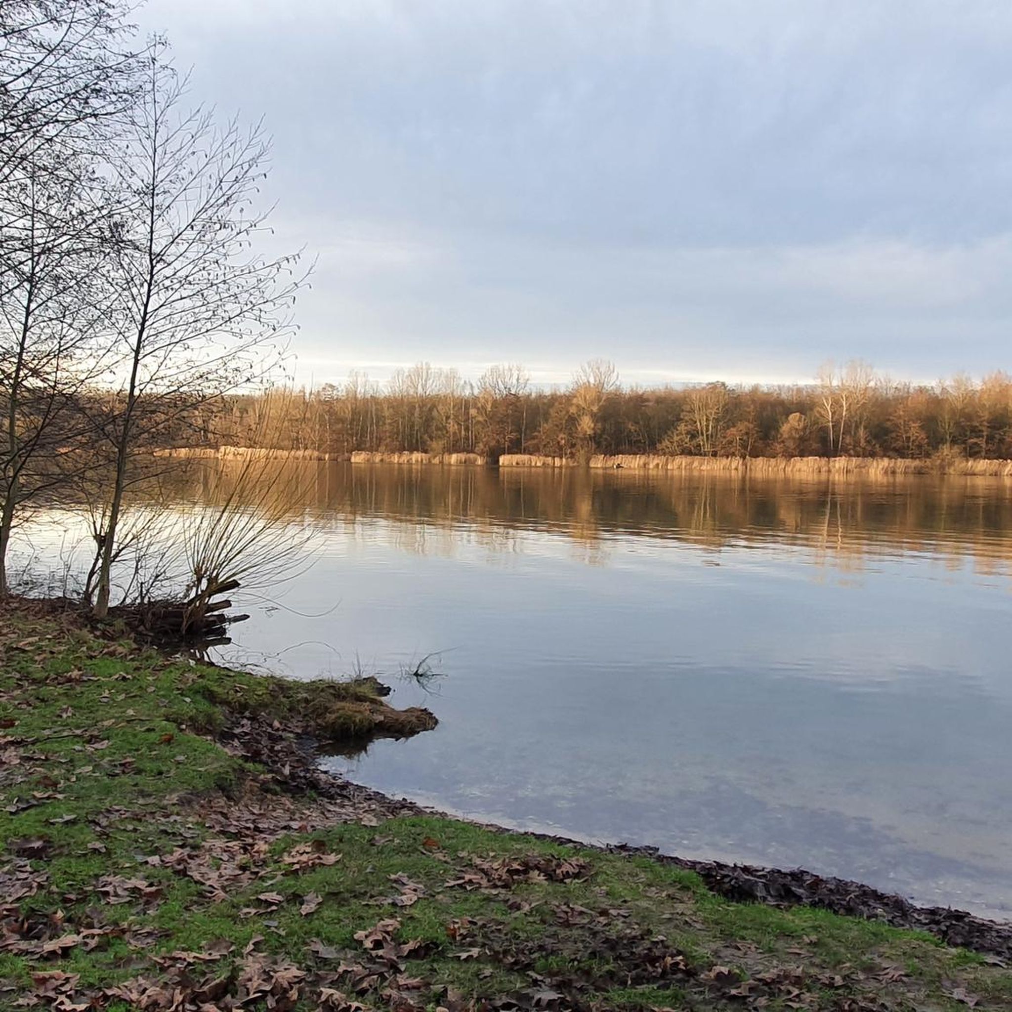
Hiking around Hürther Waldsee offers trails through a distinctive landscape, shaped by its past as a lignite opencast mine. This re-cultivation area features mixed forests and numerous lakes, forming part of the expansive Ville-Seen-Platte within the Naturpark Rheinland. The region's topography provides varied experiences, from lakeside paths to routes through woodlands, with Hürther Waldsee itself designated as a nature reserve.
Best hiking trails around Hürther Waldsee
- The most popular hiking route is Hürther Waldsee – Otto-Maigler Lake loop from Gleuel…
Last updated: July 10, 2026
4.6
(11)
44
hikers
6.18km
01:37
40m
40m
Easy hike. Great for any fitness level. Easily-accessible paths. Suitable for all skill levels.
4.3
(6)
77
hikers
3.87km
01:00
20m
20m
Easy hike. Great for any fitness level. Easily-accessible paths. Suitable for all skill levels.

Sign up for free
4.3
(4)
37
hikers
Easy hike. Great for any fitness level. Easily-accessible paths. Suitable for all skill levels.
3.5
(2)
4
hikers
23.8km
06:08
120m
120m
Hard hike. Very good fitness required. Mostly accessible paths. Sure-footedness required.
22
hikers
3.90km
01:00
10m
10m
Easy hike. Great for any fitness level. Easily-accessible paths. Suitable for all skill levels.
Get access to more routes and recommendations from other explorers.
Sign up for free
Already have an account?
Our route recommendations are based on thousands of hikes, rides, and runs completed by other people on komoot.
Start today with a free account
Your next adventure awaits.
Login or Signup
Tips from the Community

Various design elements make the sacred wayside shrine, located at a fork in the road, an interesting collection; I strongly suspect, at least, that not all of them are related to the erection of the wooden wayside cross, but were probably added by visitors over time. The two beams, kept entirely in black, do not bear the corpus of Christ, but a brass plaque below the intersection. Only below this is - as I suspect, added later - another small crucifix.
1
0
Various design elements make the sacral wayside shrine, located at a crossroads, an interesting collection of items; as I strongly suspect at least, they are not all related to the erection of the wooden wayside cross, but were probably added by visitors over time. The two beams, kept entirely in black, do not bear the Corpus Christi, but a brass plaque below the intersection. Only below that is - as I suspect added later - another small crucifix. PS: The highlight has been around for a while at https://www.komoot.com/de-de/highlight/3164415
1
0


Beautiful bench with a view of the lake
0
0


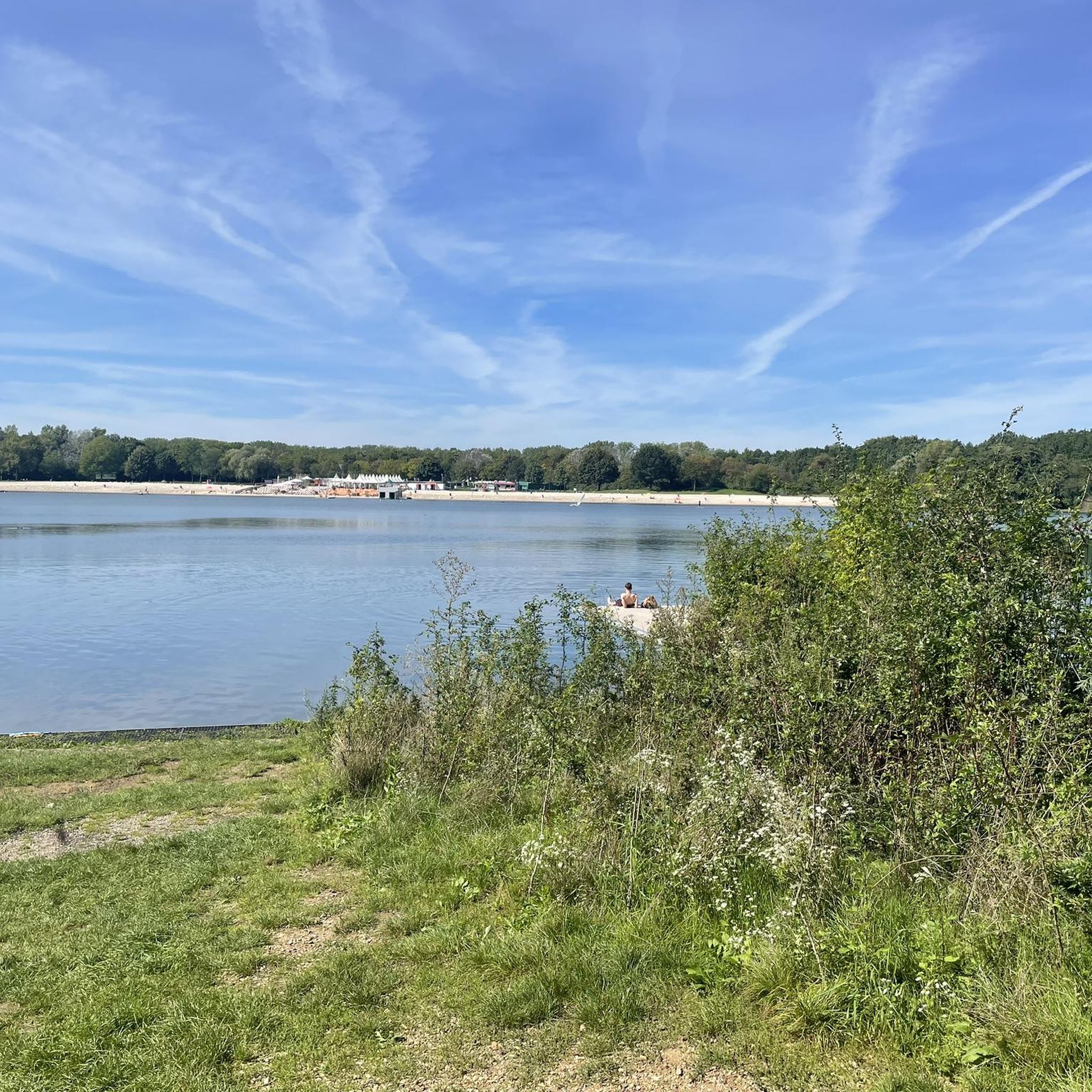
This location is very easy to get into the water. It's a lovely place to linger. Sometimes you even meet some really nice people. A very nice place.
2
0
Frequently Asked Questions
What kind of landscape can I expect when hiking around Hürther Waldsee?
Hürther Waldsee offers a unique landscape shaped by its past as a lignite opencast mine. You'll find a re-cultivated area with mixed forests and numerous lakes, forming part of the expansive Ville-Seen-Platte within the Naturpark Rheinland. The area is primarily a nature reserve, providing a serene and wilder hiking experience with diverse habitats.
Are there many hiking trails available in the Hürther Waldsee area?
Yes, the Hürther Waldsee region boasts a comprehensive network of trails. There are over 1,200 hiking routes available, catering to various preferences and fitness levels, from easy strolls to more challenging paths.
What is the general difficulty of hiking trails around Hürther Waldsee?
The trails around Hürther Waldsee offer a range of difficulties. The majority, over 940 routes, are classified as easy, making them suitable for casual walkers. There are also nearly 300 moderate trails and a smaller number of more difficult routes for experienced hikers.
Are there any circular walks around Hürther Waldsee?
Yes, many of the trails around Hürther Waldsee are circular, allowing you to start and end at the same point. For example, the Bleibtreu Lake Beach – Otto-Maigler Lake loop from Gleuel is a longer, more challenging circular route that explores multiple lakes.
What are some interesting landmarks or natural features to see on the trails?
The region's unique post-mining landscape itself is a key feature, with the lake's planned biotop structures, islands, and shallow water zones. Some routes also pass by historical sites, such as the Burbach Monastery, which you can explore on the 'Boat Dock on the Lake – Burbach Monastery loop from Gleuel' trail. The nearby Otto-Maigler-See and Bleibtreusee also offer additional natural beauty.
Is Hürther Waldsee suitable for family-friendly hikes?
Absolutely. With a large number of easy trails, Hürther Waldsee is well-suited for families. The serene nature reserve and lakeside paths provide a pleasant environment for walks with children. The Otto Maigler Lake – View of Otto-Maigler Lake loop from Gleuel is an easy option that offers lake views and is often completed in under an hour.
Can I bring my dog on the hiking trails around Hürther Waldsee?
Yes, many trails in the Hürther Waldsee area are dog-friendly, allowing you to enjoy the natural surroundings with your canine companion. However, as parts of the area are nature reserves, it's always advisable to keep dogs on a leash and respect local signage regarding protected areas.
What is the best season to hike around Hürther Waldsee?
The mixed forests and lakeside paths make Hürther Waldsee enjoyable throughout much of the year. Spring and autumn offer pleasant temperatures and beautiful foliage, while summer provides lush greenery. Even in winter, the trails can be appealing for a crisp walk, though conditions may vary.
Where can I park when visiting Hürther Waldsee for a hike?
While Hürther Waldsee itself is primarily a nature reserve with limited direct access, parking is generally available at various entry points to the surrounding trail network, especially near the more accessible areas like Gleuel, which serves as a common starting point for many routes.
Is Hürther Waldsee accessible by public transport?
Yes, the Hürther Waldsee area, being close to Cologne and within the Rhein-Erft district, is generally accessible by public transport. You can typically reach nearby towns and trailheads via bus or regional train services, followed by a short walk to the starting points of the trails.
What do other hikers say about the trails in Hürther Waldsee?
The hiking community highly rates the trails around Hürther Waldsee, with an average score of 4.5 stars from over 11,000 reviews. Hikers often praise the unique post-mining landscape, the tranquility of the nature reserve, and the well-maintained paths through mixed forests.
Most popular routes around Hürther Waldsee

Get inspired with the komoot mobile app


Explore more
Browse the best Hikes in other regions.
