The best road cycling routes in Boulder County
4.7
(174)
12,594
riders
325
rides
Road cycling routes in Boulder County offer diverse terrain where the Rocky Mountains meet the Great Plains. The region features iconic natural landmarks such as the Flatirons and Flagstaff Mountain, providing varied backdrops for rides. Cyclists can navigate challenging mountain ascents, gentle rolling hills, and dedicated bike paths along waterways like Boulder Creek. This blend of landscapes supports a wide array of road cycling experiences, from strenuous climbs to scenic, less-strenuous routes.
Best road cycling routes in Boulder County
- The…
Last updated: September 27, 2026
4.8
(6)
422
riders
74.5km
03:59
1,340m
1,340m
The Ward, Lefthand Canyon, and Lee Hill loop from Pearl Street is a popular road cycling route that immerses you in Boulder's iconic mountain landscape. You'll experience the dramatic ascent…
4.3
(3)
415
riders
This road cycling loop from Pearl Street to Jamestown and back is a classic Boulder ride, offering a fantastic blend of challenging climbs and scenic canyon descents. You'll experience the…

4.8
(5)
367
riders
50.4km
02:27
690m
690m
The Jamestown via Olde Stage and Highway 36 loop offers a quintessential Boulder County road cycling experience, blending challenging climbs with scenic canyon descents. You'll navigate the winding roads of…
311
riders
36.9km
03:19
1,020m
1,020m
The Sunshine and Fourmile Canyons to Gold Hill loop offers a classic Boulder road cycling experience, pushing your limits with its substantial climbs. You'll navigate the winding roads of Sunshine…
5.0
(3)
294
riders
117km
05:14
780m
780m
This challenging road cycling route takes you from the urban buzz of Pearl Street in Boulder out into the expansive northern plains and up to the scenic Carter Lake area.…
4.3
(4)
280
riders
The Boulder Reservoir loop via 63rd Street, Niwot Road, and 36 from Pearl Street offers a classic road cycling experience, blending urban energy with expansive rural views. You'll pedal past…
5.0
(1)
252
riders
82.9km
04:49
1,830m
1,830m
Embark on a challenging racebike adventure from Pearl Street, climbing towards the stunning Brainard Lake. This difficult route covers 51.5 miles (82.9 km) and demands significant effort, with a massive…
239
riders
21.0km
02:20
510m
510m
Embark on the Chapman Drive and Flagstaff Mountain Loop, a moderate road cycling route that blends a car-free dirt road climb with smooth paved sections. As you pedal, you will…
4.0
(1)
185
riders
80.1km
04:27
1,530m
1,530m
Embark on the Jamestown and Ward loop, a difficult road cycling route that challenges you with 49.8 miles (80.1 km) and a significant 5007 feet (1526 metres) of elevation gain.…
189
riders
Embark on a moderate road cycling adventure with the Olde Stage and Nelson Road loop, a route that spans 29.3 miles (47.2 km) and climbs 1564 feet (477 metres) over…
Get access to more routes and recommendations from other explorers.
Already have an account?
Our route recommendations are based on thousands of hikes, rides, and runs completed by other people on komoot.
Start today with a free account
Your next adventure awaits.
Popular around Boulder County
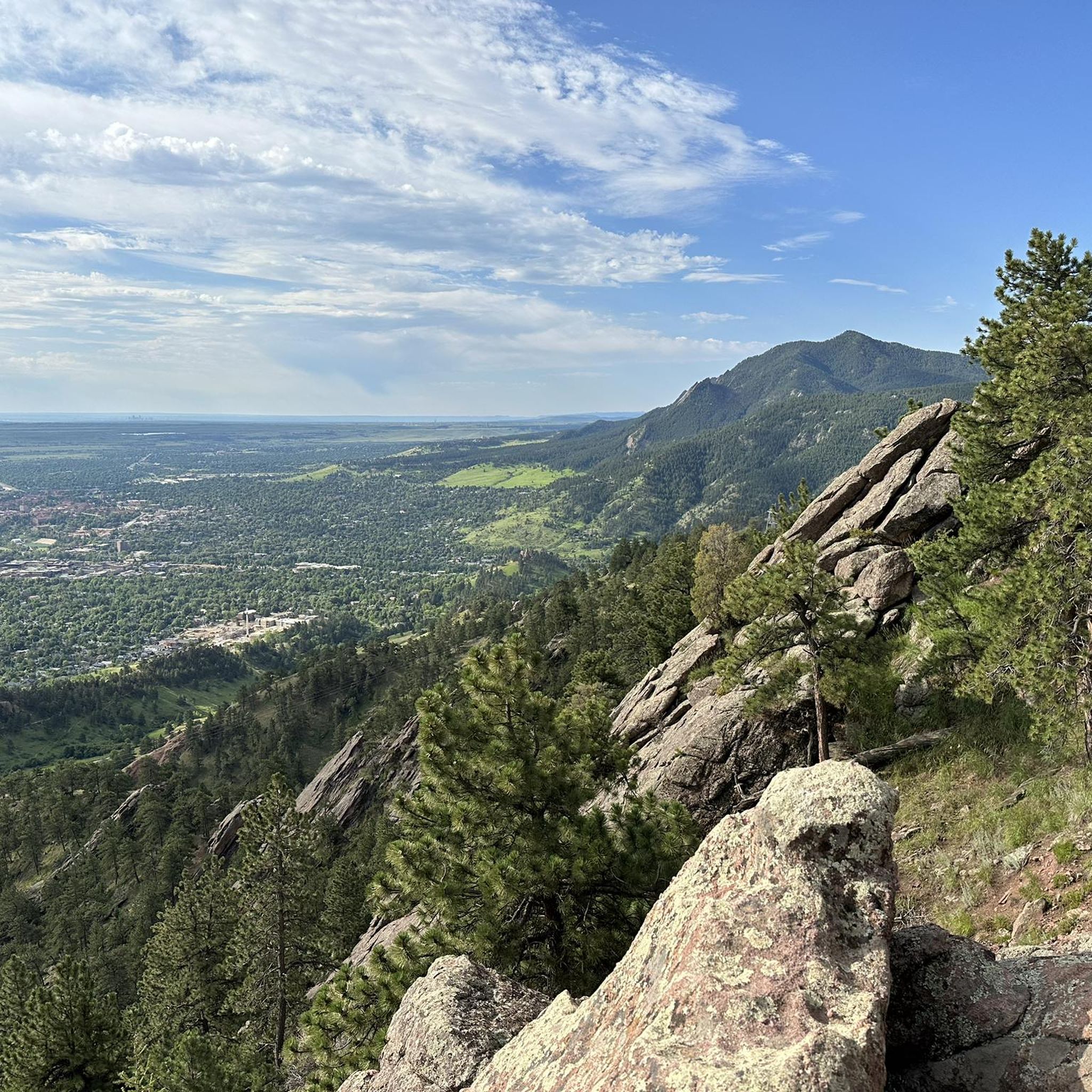
Road Cycling Routes around Boulder
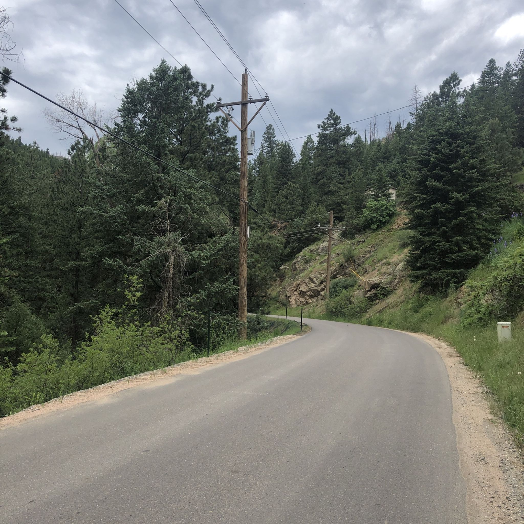
Road Cycling Routes around Mountain Meadows
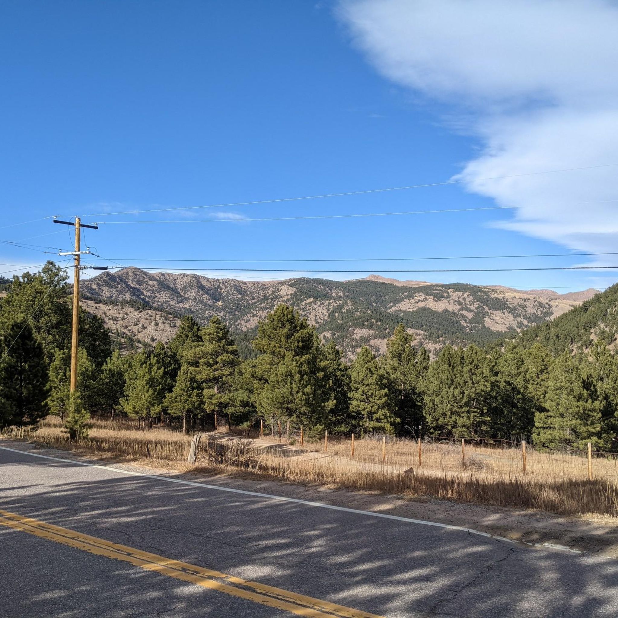
Road Cycling Routes around Gold Hill
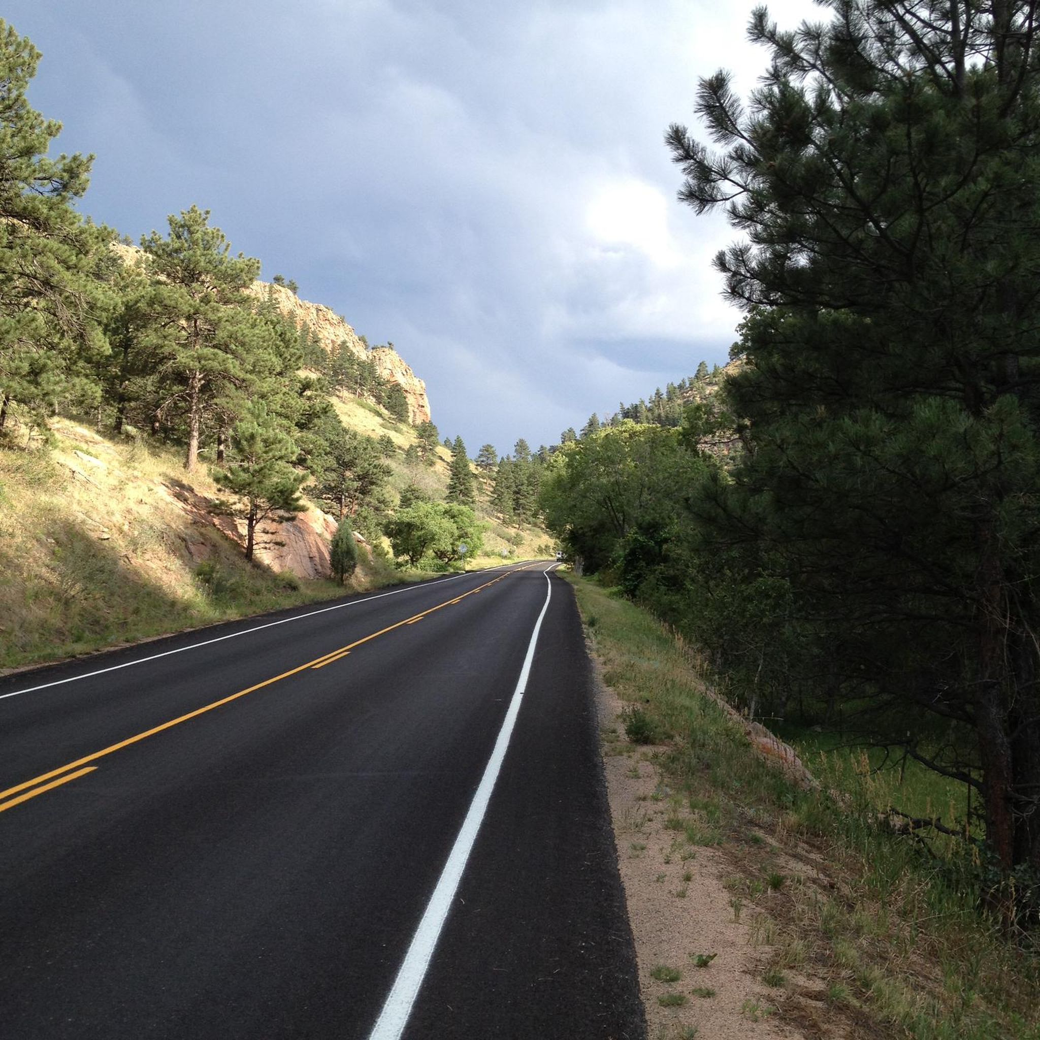
Road Cycling Routes around Ward
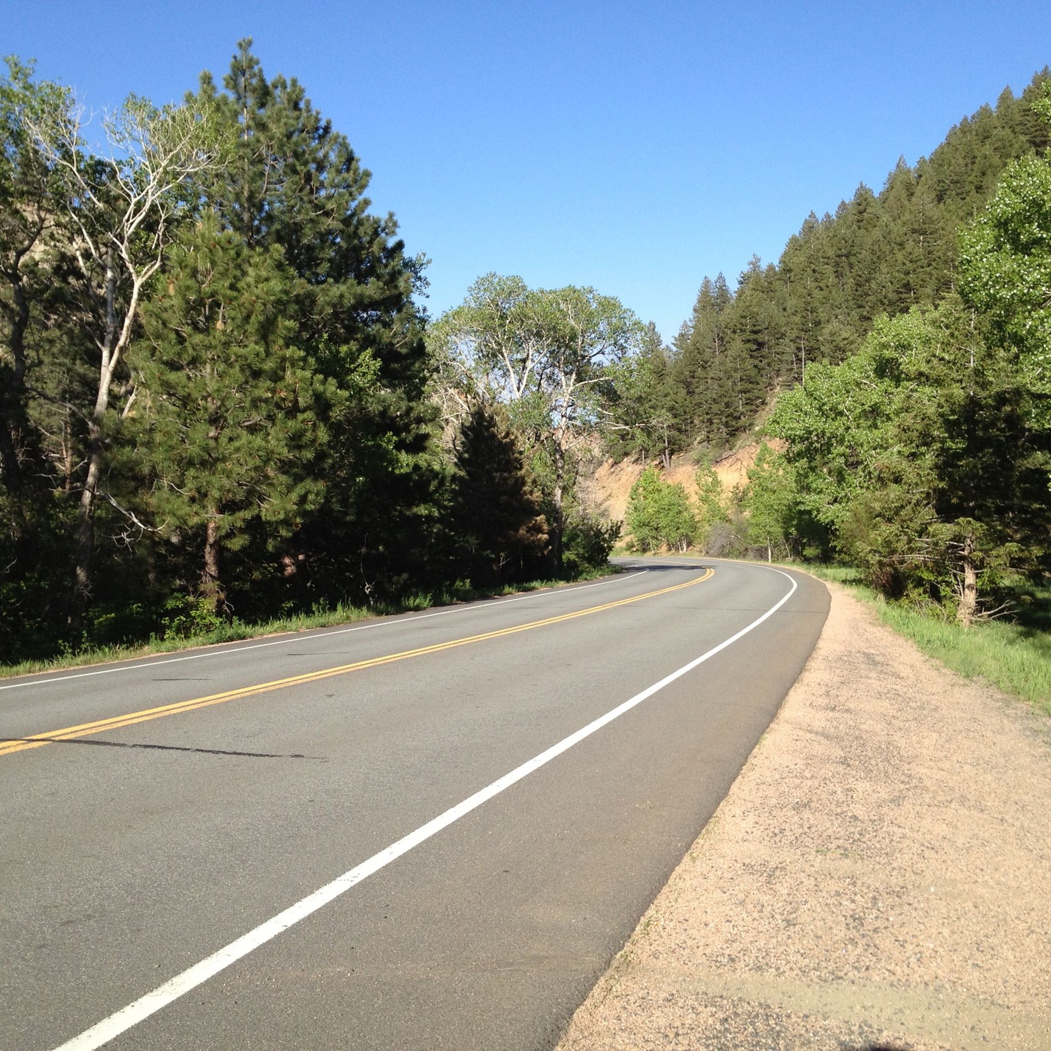
Road Cycling Routes around Seven Hills
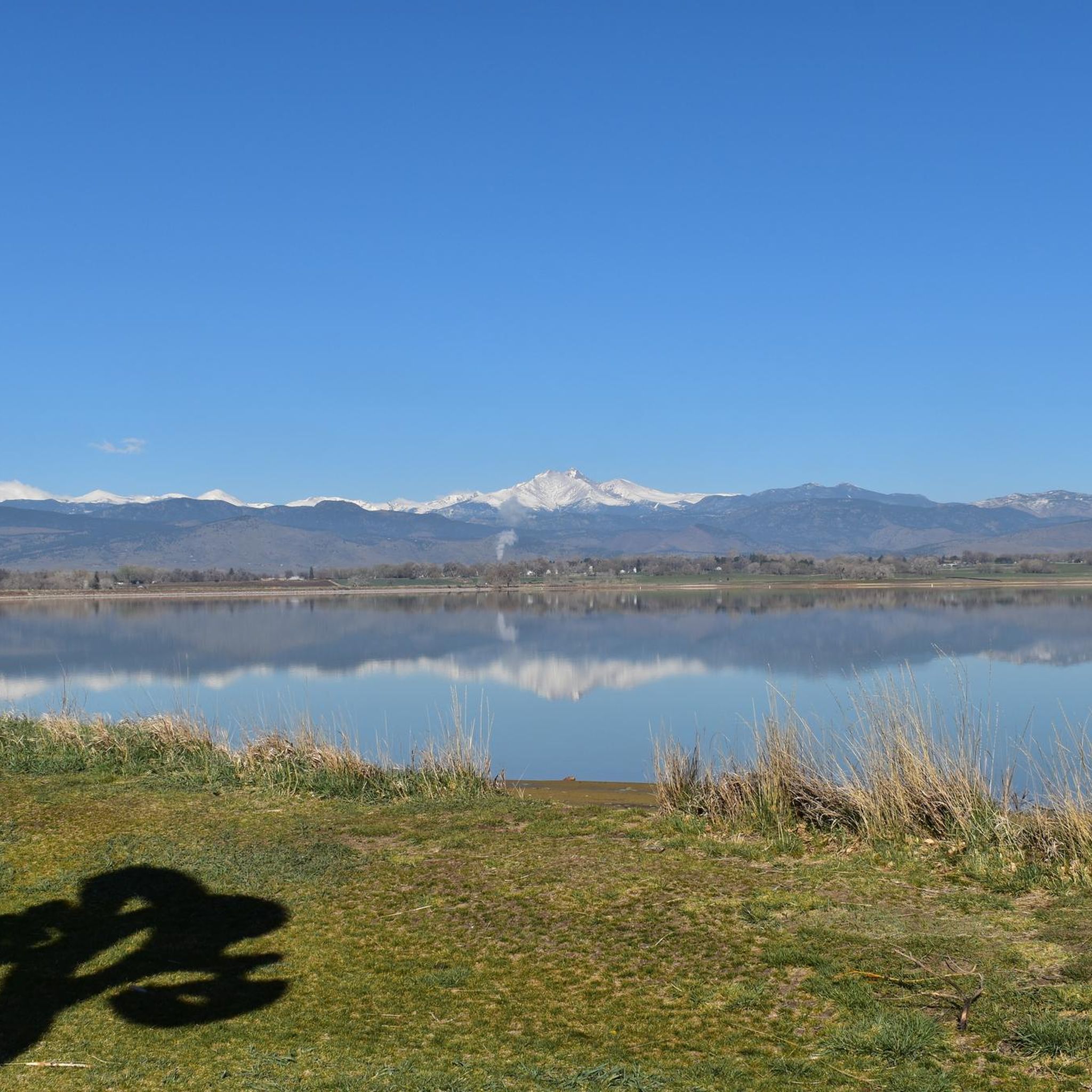
Road Cycling Routes around Longmont
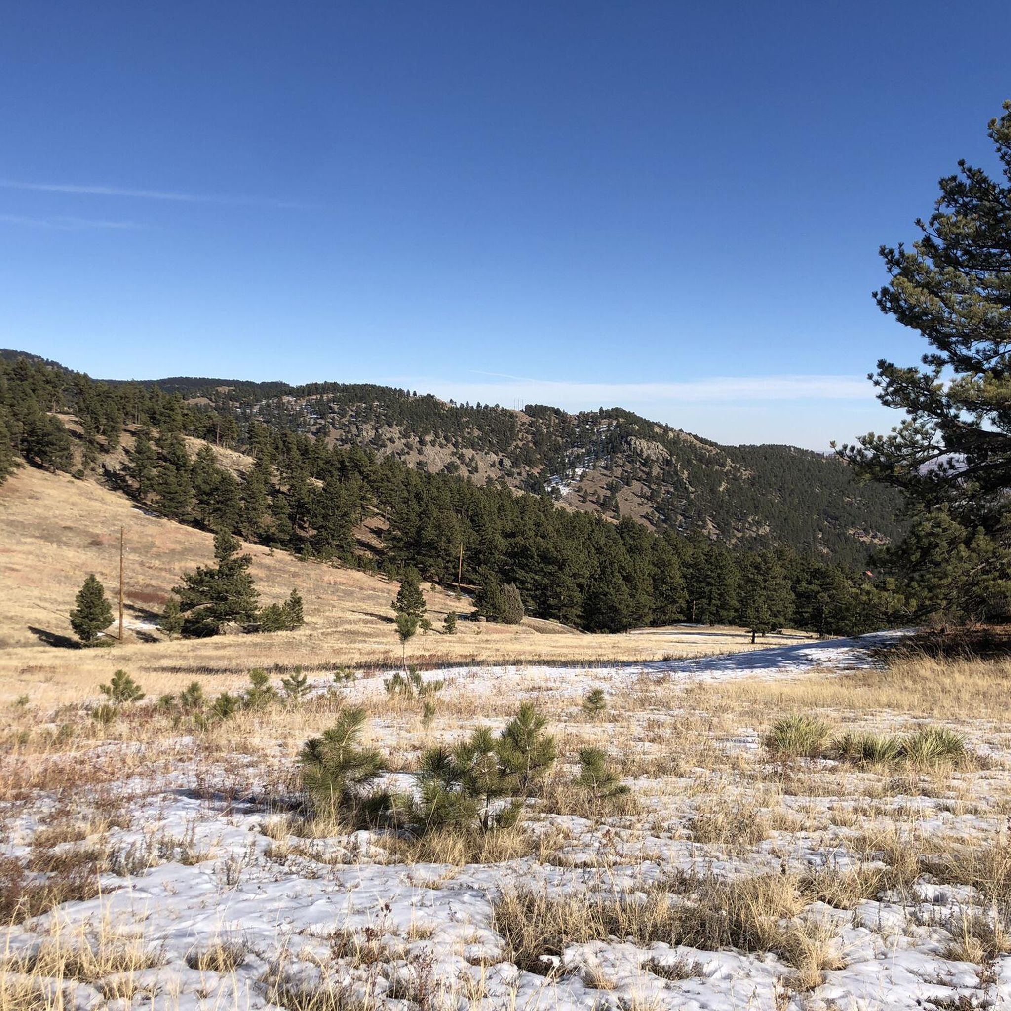
Road Cycling Routes around Crisman
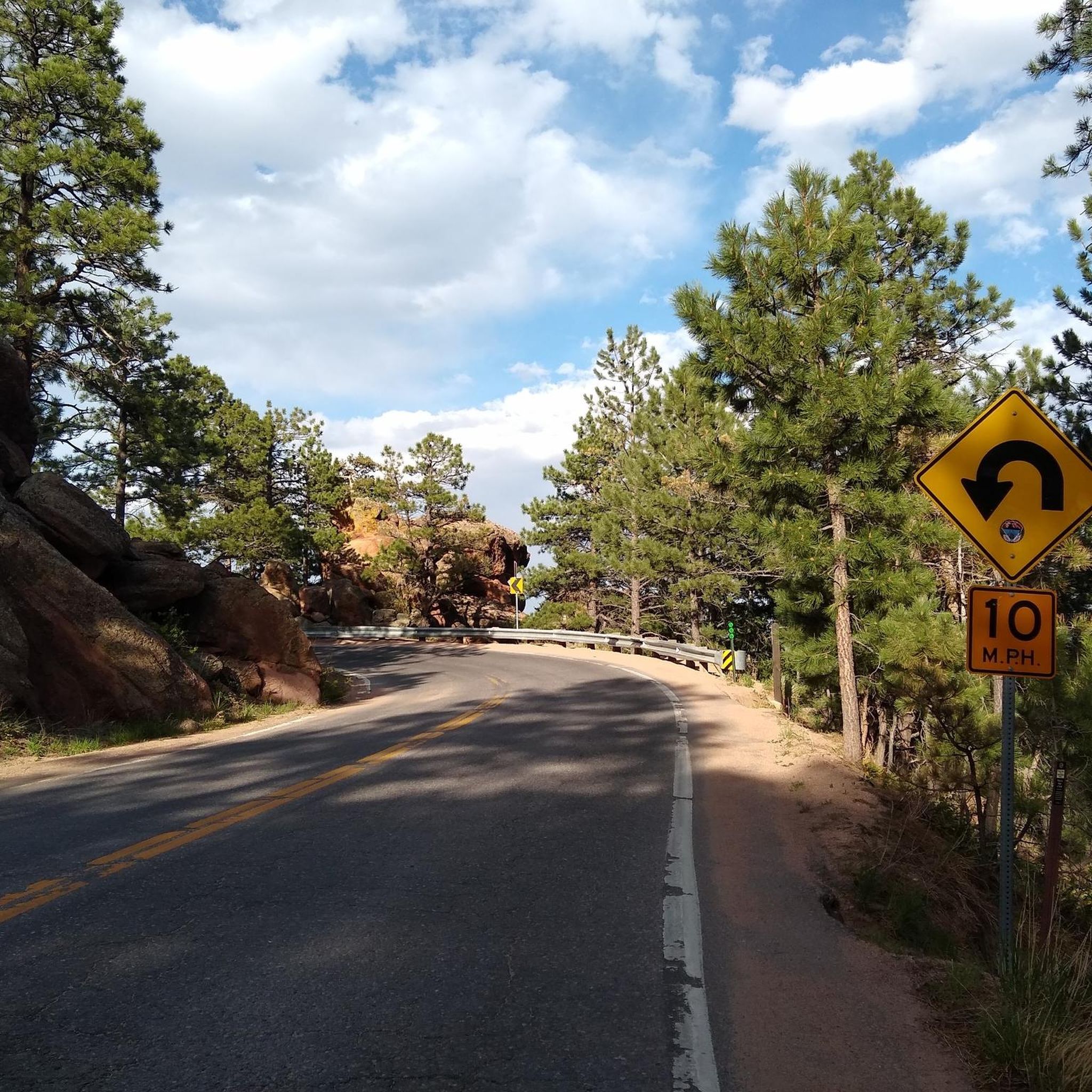
Road Cycling Routes in Eldorado Canyon State Park
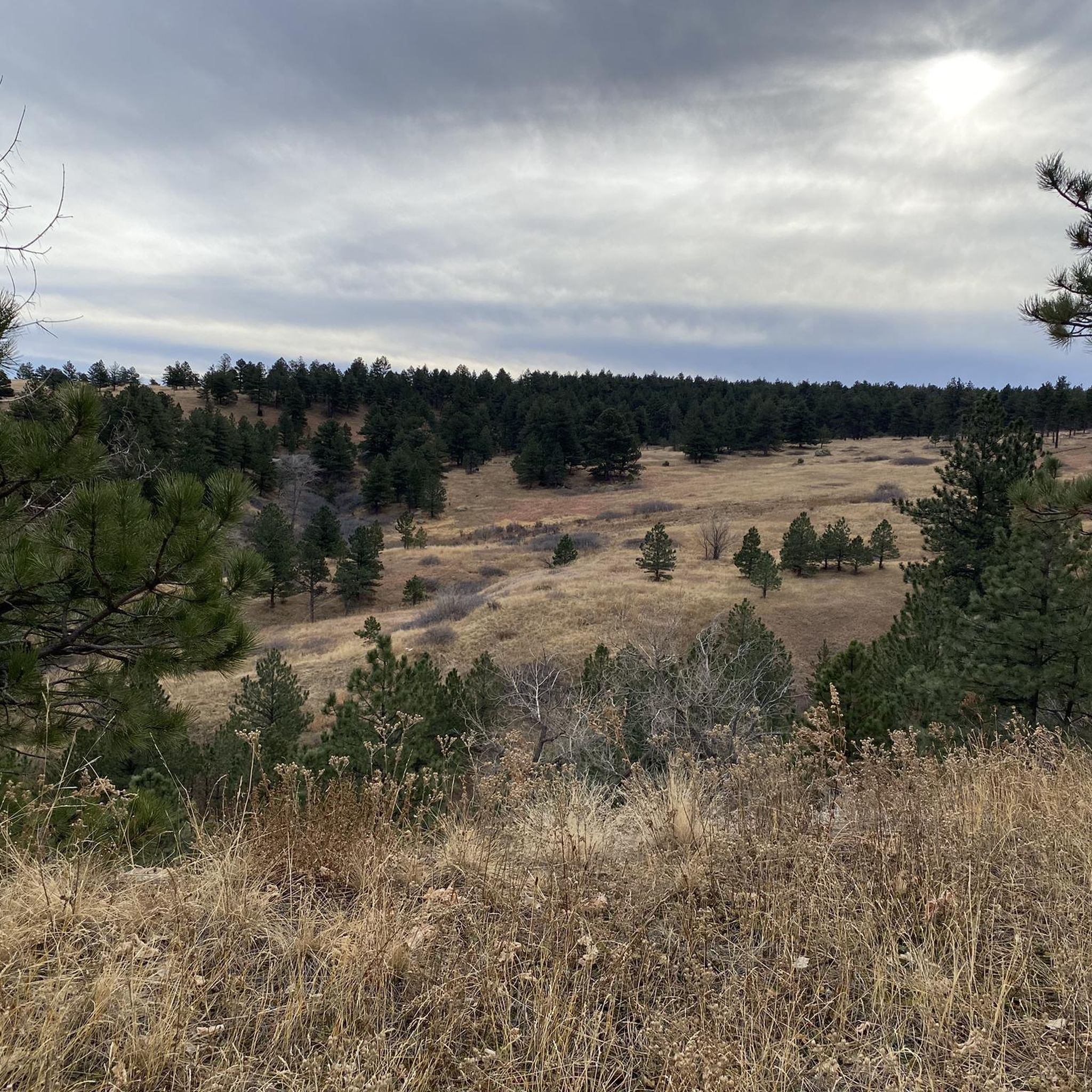
Road Cycling Routes around Eldorado Springs
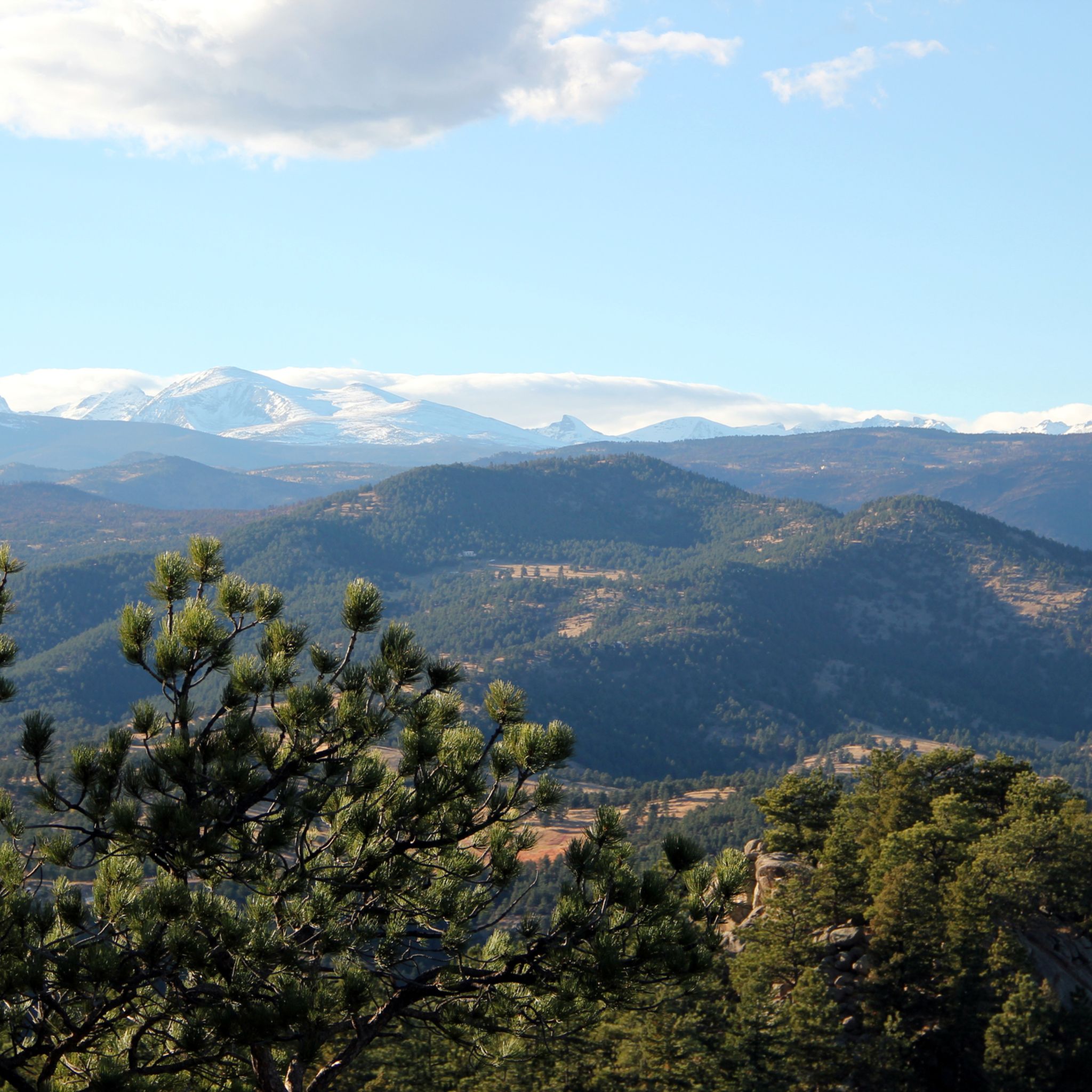
Road Cycling Routes around Tall Timber
Other adventures in Boulder County

Tips from the Community


Steep. Bring your gears. Wonderful views. Ride it early during the week
0
0


Brainard Lake is a beautiful alpine lake in the Indian Peaks Wilderness below the Continental Divide surrounded by subalpine forest. It is in the Brainard Lake Recreation Area, which during the summer season usually requires a reservation and a fee, but if you are on your bike you do not need to pay or reserve a time slot. Because of the area's high elevation, snow typically remains until late spring, even on the paved road to the lake.
0
0
Fourmile Canyon Road is a popular cycling spot that connects Boulder Canyon all the way up to the "ghost town" of Gold Hill via Gold Run Road, Gold Hill Road, and the Peak to Peak Highway. This particular section of Fourmile is from Boulder Canyon to Poorman Hill Road, another popular gravel road that connects to Sunshine Canyon.
0
0
Sunshine Canyon is a popular ride that that takes you straight from downtown Boulder up into the foothills past popular hikes like Mount Sanitas and Lions Lair. This upper section of Sunshine Canyon is gravel, but it is generally well-graded, and hard packed; it is frequently completed by local cyclists on road bikes. The only place where the gravel can be a little looser and chunkier is toward the top of the canyon by Gold Hill, so be aware when ascending or descending.
1
0
The road up Flagstaff from Chautauqua to Chapman Drive, where you can continue to Artists Point overlooking Boulder, is an iconic Boulder climb. This fun, twisting road (whether you ride up or down) grants you great views over the city as you pass by large sandstone boulders and cliffs, stands of pine trees, and several viewpoints. Watch out for cars on both the ascent and descent, this is a very popular drive for tourists and locals alike and there are several well-trafficked hiking trails off of the road.
1
1
Frequently Asked Questions
What types of road cycling routes can I find in Boulder County?
Boulder County offers a diverse range of road cycling experiences, from challenging mountain ascents to gentle rolling hills and dedicated bike paths. You'll find routes that wind through scenic canyons, past iconic landmarks like the Flatirons, and along waterways such as Boulder Creek. The terrain varies significantly, catering to different skill levels and preferences.
Are there any easy road cycling routes suitable for beginners in Boulder County?
Yes, Boulder County has options for less experienced cyclists. For a relatively easy ride with minimal elevation gain, consider the Boulder Reservoir loop via 63rd Street, Niwot Road, and 36 from Pearl Street — Boulder. This route offers a pleasant ride around the reservoir with scenic views.
Which road cycling routes offer challenging climbs in Boulder County?
For those seeking a challenge, Boulder County is renowned for its demanding climbs. Routes like the Ward, Lefthand Canyon, and Lee Hill loop from Pearl Street — Boulder feature significant elevation gains. Another difficult option is the Sunshine and Fourmile Canyons to Gold Hill loop — Boulder, which includes over 1,000 meters of climbing.
Can I find long-distance road cycling routes in Boulder County?
Absolutely. Boulder County offers several long-distance routes for endurance cyclists. The Hygiene and Carter Lake loop from Pearl Street — Boulder covers over 117 kilometers, providing a substantial ride through varied landscapes. Another extensive option is the Ward and Brainard Lake via Lee Hill Drive from Pearl Street — Boulder, stretching over 82 kilometers with considerable climbing.
What scenic landmarks or viewpoints can I expect to see on road cycling routes?
Many routes in Boulder County offer stunning views of natural landmarks. You'll frequently encounter the iconic Flatirons providing a dramatic backdrop. Some routes, like the Chapman Drive and Flagstaff loop from Pearl Street — Gravel — Boulder, take you up Flagstaff Mountain, offering panoramic vistas from overlooks such as Davidson Mesa Overlook. The region also features other prominent peaks like Green Mountain Peak and Bear Peak.
Are there any circular road cycling routes in Boulder County?
Yes, many road cycling routes in Boulder County are designed as loops, allowing you to start and end at the same point. Examples include the Jamestown via Old Stage, Lefthand Canyon, and Lee Hill Drive from Pearl Street loop — Boulder and the Jamestown via Olde Stage and Highway 36 loop — Boulder, both offering a complete circuit.
What is the best time of year for road cycling in Boulder County?
Boulder County is known for its abundant sunshine, making road cycling a viable activity year-round. While spring and fall offer pleasant temperatures and vibrant scenery, the region's mild winters often allow for cycling, especially on lower elevation routes. Summer is also popular, though it's wise to start earlier in the day to avoid the midday heat.
What do other cyclists say about road cycling in Boulder County?
The road cycling routes in Boulder County are highly regarded by the komoot community, with an impressive average rating of 4.7 stars from over 140 reviews. Cyclists frequently praise the diverse terrain, from challenging mountain ascents to scenic rolling hills, and the stunning natural backdrops like the Flatirons and Eldorado Canyon.
Are there any road cycling routes that combine paved and gravel sections?
Yes, Boulder County caters to various cycling preferences, including routes that blend paved roads with gravel sections. For example, the Olde Stage and Nelson Road loop via 63rd Street, Cottonwood and Goose Creek Trails from Pearl Street — Gravel — Boulder offers a mixed-surface experience. Another option is the Jamestown and Ward loop via Super James Lee Hill from Pearl Street — Gravel — Boulder.
Are there any waterfalls visible from road cycling routes in Boulder County?
While many road cycling routes focus on mountain views and open spaces, Boulder County is home to several beautiful waterfalls. Some are located within areas like Eldorado Canyon, which offers dramatic scenery. For specific waterfall viewing, you might need to combine cycling with short hikes to spots like Calypso Cascade or Copeland Falls.
What are the starting points for road cycling routes in Boulder County?
Many popular road cycling routes in Boulder County, including several mentioned in this guide, commonly start from areas around Pearl Street in Boulder. This central location provides convenient access to various routes heading into the canyons, mountains, or out to the plains.
Most popular routes in Boulder County
Most popular attractions in Boulder County

Get inspired with the komoot mobile app


Didn’t find what you were looking for?
Check out more Road cycling routes throughout Boulder County below and find the perfect route in your destination.
Explore more
Browse the best Road cycling routes in other regions.
