The best walks and hikes around Lake Maggiore
4.4
(34958)
160,655
hikers
289
hikes
Hiking around Lake Maggiore offers diverse landscapes, from the shores of the lake to mountainous terrain. The region is characterized by a mild microclimate, fostering varied flora across its hills and valleys. Significant natural features include Val Grande National Park, Italy's largest wilderness area, and the panoramic views from Mottarone. The area encompasses thick forests, green valleys, and mountain peaks, providing a range of hiking experiences.
Best hiking trails around Lake Maggiore
- The most popular hiking route is Via delle Genti from Cannobio to Cannero Riviera, a 9.0 miles (14.5 km) trail that takes 4 hours 52 minutes to complete. This difficult route offers views along the lake's western shore.
- Another top favourite among local hikers is Lungolago di Ispra from Ranco – loop tour, a moderate 8.3 miles (13.3 km) path. This route follows the lakeside promenade, providing scenic views and a relatively flat terrain.
- Local hikers also love the Historic Lime Kilns Loop on Lake Maggiore, a 2.8 miles (4.5 km) trail leading through historical sites and natural surroundings, often completed in about 1 hour 16 minutes.
- Hiking around Lake Maggiore is defined by lakefront paths, forested hills, and mountain trails, including sections of Val Grande National Park and the Mottarone area. The network offers options for various ability levels, from easy strolls to challenging mountain ascents.
- The routes in Lake Maggiore are highly rated by the komoot community with an average score of 4.5 stars from more than 2,500 reviews. More than 13,000 hikers have used komoot to explore Lake Maggiore's varied terrain.
Last updated: July 7, 2026
4.7
(466)
1,758
hikers
14.5km
04:52
710m
710m
Embark on a difficult 9.0-mile (14.5 km) hike along the historic Via delle Genti, connecting Cannobio to Cannero Riviera. This challenging route features a significant elevation gain of 2345 feet (715 metres), taking approximately 4 hours and 52 minutes to complete. As you ascend, you'll traverse ancient cobblestone paths winding through dense chestnut forests, offering glimpses of Lake Maggiore and the charming town of Cannobio below. The trail's varied terrain leads you past the small village of Molineggi, known for its unique metal sculptures, before reaching the impressive Carmine Superiore Church, a medieval landmark with panoramic views.
You can begin your hike in Cannobio, where a large car park is available for convenience. Alternatively, consider arriving by boat from other towns around Lake Maggiore, adding a scenic start to your adventure. Remember to bring enough drinking water, as a stone fountain along the way is suitable only for refreshing arm dips. This route is best enjoyed during pleasant weather to fully appreciate the lake views and historic sites.
This ancient traders' route offers a unique blend of history and natural beauty, following an important commercial path that once connected Italy and Switzerland. The trail provides a glimpse into the region's past, with its well-preserved cobblestone sections and medieval architecture. After completing your hike in Cannero Riviera, you can explore local eateries or simply relax by the lake, reflecting on the journey through this historically significant landscape.
4.5
(87)
337
hikers
4.51km
01:17
100m
90m
Explore the easy Historic Lime Kilns Loop on Lake Maggiore, a pleasant hike covering 2.8 miles (4.5 km) with a gentle 319 feet (97 metres) of elevation gain. You can expect to finish this route in about 1 hour and 16 minutes, making it perfect for a relaxed outing. The trail offers a unique blend of lakeside views and historical structures, providing a varied and engaging experience as you walk along the water's edge.
To start your hike, head to the tourist office located near Lake Maggiore. Parking is available if you drive; look for spots near the cemetery on Via Milano. This route is generally accessible and does not mention any specific permits or fees, allowing for a straightforward visit. Consider going during pleasant weather to fully enjoy the scenic path and its historic points of interest.
This loop is notable for its well-preserved lime kilns, which date back to the late 1800s. These industrial structures played a key role in the region's past, producing high-quality lime that was transported by barges to cities like Piedmont and Milan. You will see the Fornace del Pinett, complete with its walkway and small harbor, and other kilns that operated until the 1960s. The trail offers a fascinating look into Lake Maggiore's working heritage, combining natural beauty with significant local history.

Sign up for free
4.7
(58)
221
hikers
16.3km
05:24
720m
720m
Embark on a challenging hike along the Cammino del Lago Maggiore, tracing a path from Cannobio to Ascona. This difficult route spans 10.1 miles (16.3 km) and involves a significant elevation gain of 2348 feet (716 metres), typically taking around 5 hours and 23 minutes to complete. You will traverse ancient mule tracks and forest paths, encountering remote hamlets like Formine that offer sweeping views across Lake Maggiore towards the Swiss Alps.
Planning your visit is straightforward, with good public transport connections at both ends of the trail. You can start your journey in Cannobio, which is accessible by bus line 3 VCO and boat services. The route concludes in Ascona, where you can catch buses to Locarno or take a boat back across the lake, making it easy to arrange your logistics without a car.
This section of the Cammino del Lago Maggiore offers a unique blend of natural beauty and historical intrigue. As you hike, you might spot Roman relics hidden within the ancient woodlands, adding a layer of discovery to your adventure. The trail also takes you past the border crossing at Dogana, a notable point where two countries meet at the water's edge, highlighting the region's rich cultural tapestry.
4.1
(78)
257
hikers
13.3km
03:34
160m
160m
Embark on the Lungolago di Ispra from Ranco loop tour, a moderate hike spanning 8.3 miles (13.3 km) with an elevation gain of 517 feet (158 metres). This route takes approximately 3 hours and 33 minutes to complete, offering varied terrain including roads, footpaths, and designated hiking paths. You will encounter rocky sections, gravel, and small bridges, with dramatic rock-carved walkways directly over Lake Maggiore. Enjoy picturesque views of the lake, surrounding hinterland, and distant Alpine arc as you pass charming gardens, elegant villas, and active marinas.
For this hike, it is advisable to wear sturdy shoes, as some sections might be unsuitable for light footwear. The varied surfaces, including rocky parts and gravel, require sure-footedness. Be aware that if there are waves on the lake, you might even get wet on certain sections of the trail. The route is generally well-marked, guiding you through its diverse landscapes.
The trail is notable for its historical and natural attractions, including well-preserved 19th-century lime kilns, known as Fornaci. You can also experience the romantic Passeggiata dell'Amore di Ispra, where love poems are engraved on colorful tiles along a sandy beach. The route also leads to the natural marshland area of Palude Bozza and offers expansive views from designated panoramic points. A significant natural highlight is the Gulf of Quassa, a semi-natural environment rich in history and geology.
4.3
(59)
265
hikers
11.6km
03:03
110m
110m
Embark on the Lake Maggiore Way: Ranco to Ispra, a moderate hiking route that offers diverse scenery along the shores of Lake Maggiore. You will experience comfortable lakeside promenades and paths that open up to panoramic views of the lake and the majestic Alps. Along the way, you can discover charming tree-lined avenues and unique natural features like the colossal Sass Cavalasc Glacial Boulder, a significant natural monument.
This trail covers a distance of 7.2 miles (11.6 km), with an elevation gain of 356 feet (109 metres), and typically takes about 3 hours and 3 minutes to complete. While generally accessible, be aware that some sections feature rocky paths and steeper steps, making them less suitable for buggies or bicycles. It is also a good idea to wear appropriate attire, as you might encounter brambles or cobwebs in certain areas.
The route takes you through the serene Gulf of Quassa, known for its semi-natural environment, providing a peaceful escape. You will also catch glimpses of historic lime kilns, adding a touch of industrial heritage to the natural beauty. This trail offers a rich character and a varied experience, making it a notable option for exploring the region's natural and historical landmarks.
Get access to more routes and recommendations from other explorers.
Sign up for free
Already have an account?
Our route recommendations are based on thousands of hikes, rides, and runs completed by other people on komoot.
Start today with a free account
Your next adventure awaits.
Login or Signup
Popular around Lake Maggiore

GTA North Piedmont – Among ancient Walser settlements
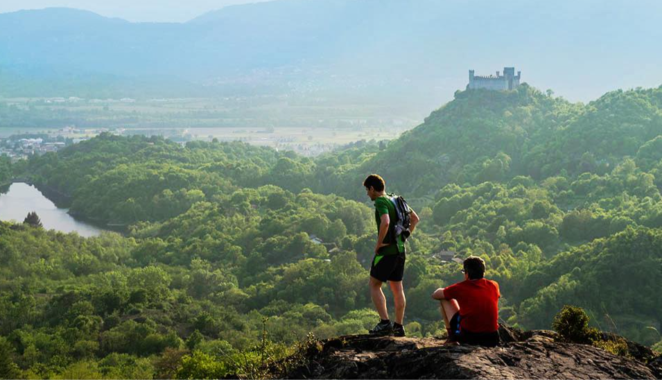
Car Free Piedmont – hiking face to face with nature
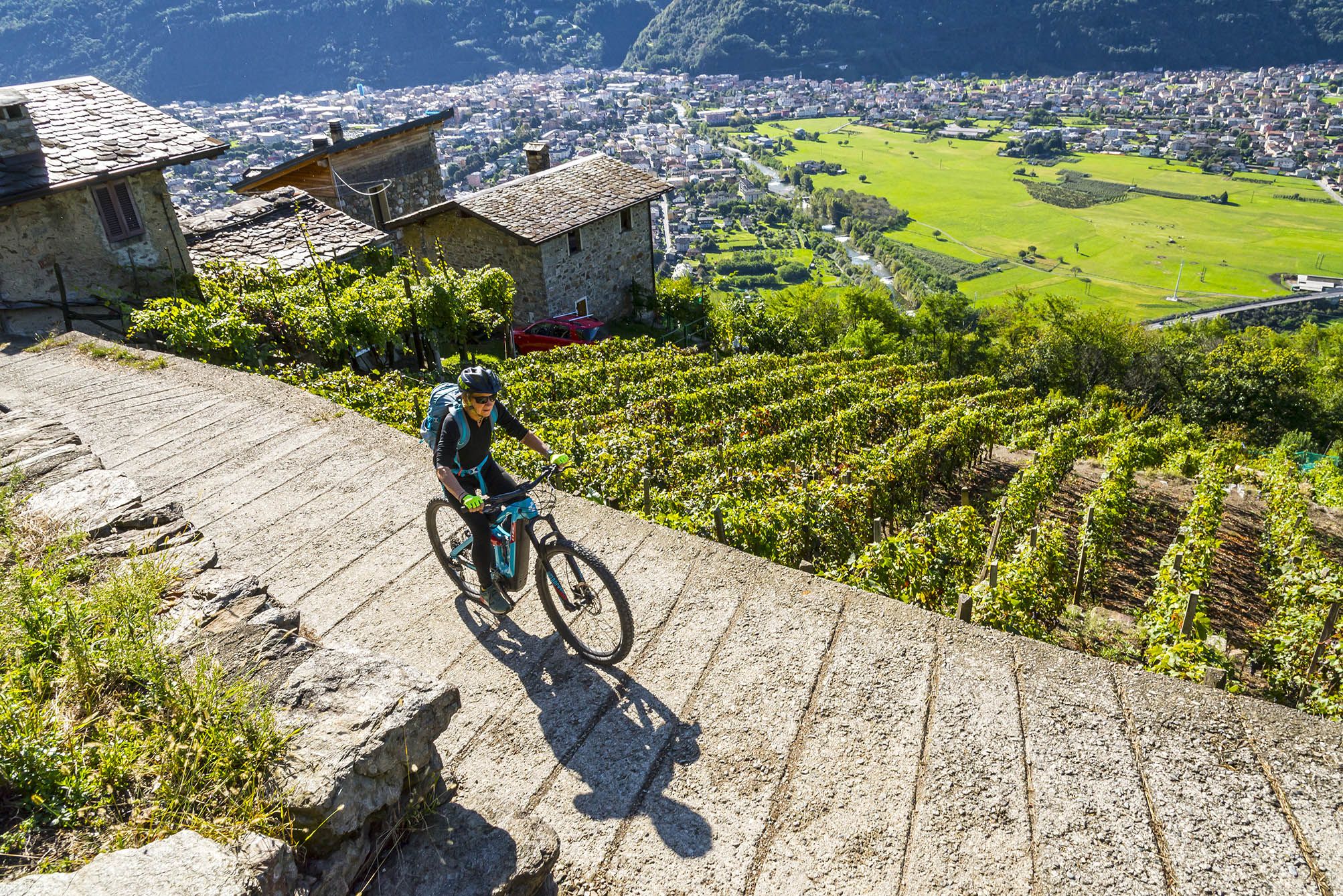
Cycling routes to discover authentic Lombardy
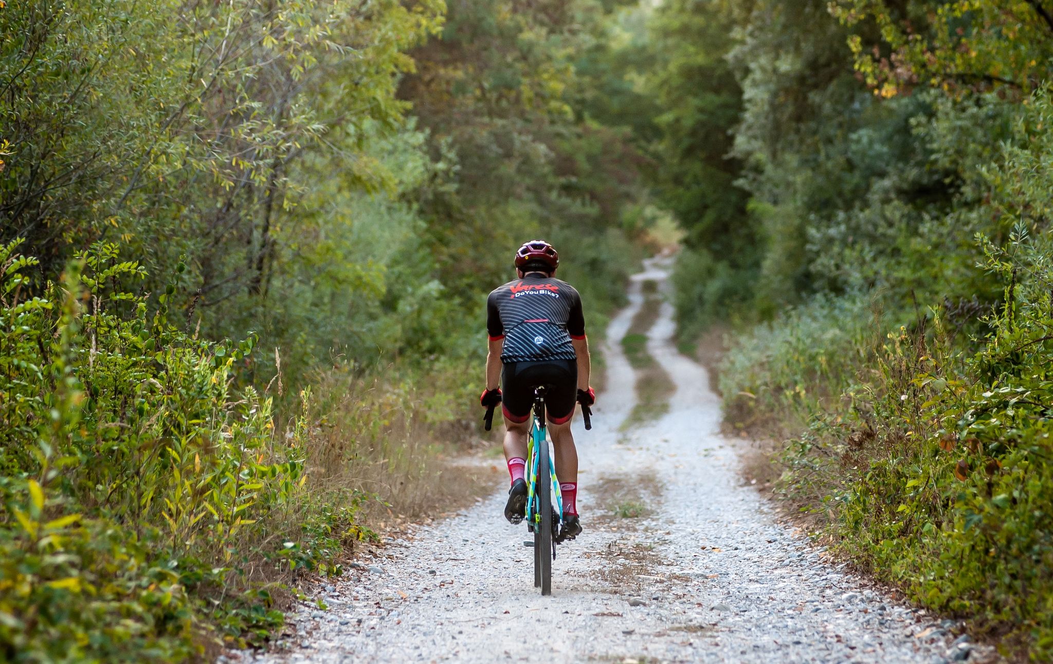
Gravel in Varese – in the land of lakes and UNESCO sites
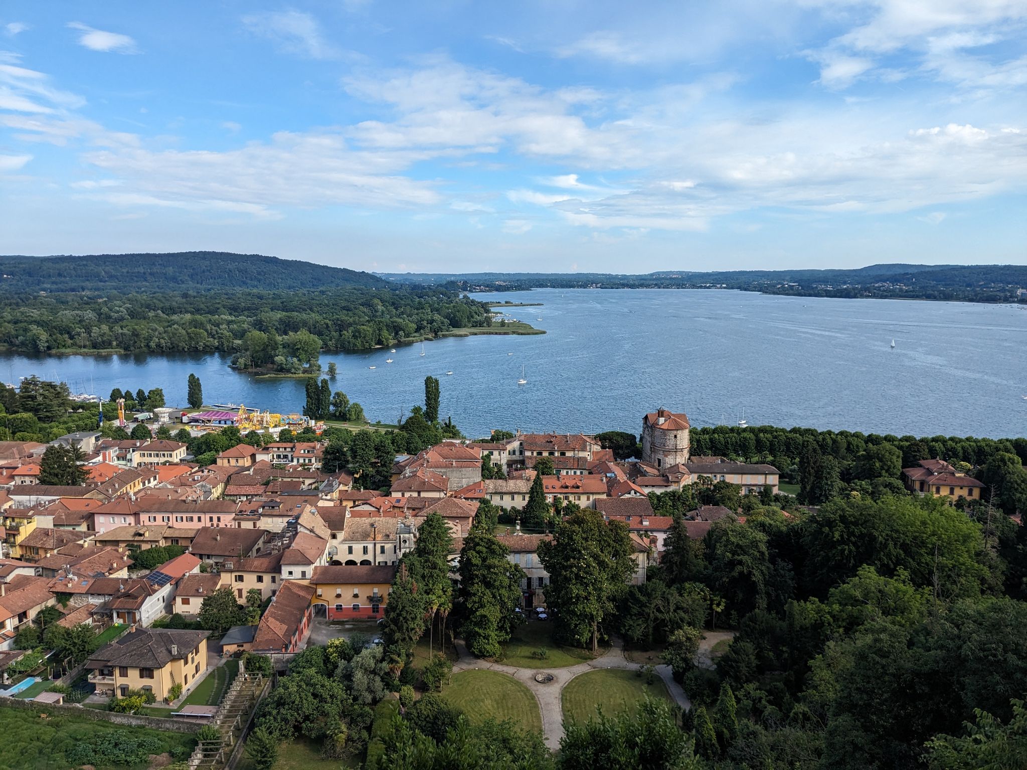
Castles, hermitages and villas – Tour of Lake Maggiore
Mountains, plains, rivers and lakes — cycling in Italy’s Lombardy region
Around Lake Maggiore
Road Cycling Routes around Lake Maggiore
Cycling around Lake Maggiore
Running Trails around Lake Maggiore
Other adventures around Lake Maggiore


Tips from the Community

Sneakers some points are rocky although not overly complicated.
0
0


pleasant nature excursion with a view of the lake, always beautiful.
0
0

Enchanting place, pedaling in a row of trees like this...... 😍😍😍
0
0

The village of Formine is located about 300 m above Lake Maggiore in the municipality of San Bartolomeo near Cannobio, close to the Swiss border and can only be reached via hiking trails.
2
0

Immediately below the ferry dock is the red crocodile of Cannobio.
0
0
A nice, easy-to-walk path towards Molineggi. There are constant views of the lake. After the town, it's more of a path, and then it gets steeper and more impassable.
0
0
Frequently Asked Questions
How many hiking trails are available around Lake Maggiore?
The Lake Maggiore region offers a wide variety of hiking experiences, with over 290 trails available. These range from easy lakeside strolls to challenging mountain ascents, ensuring options for all fitness levels.
What kind of terrain can I expect on hikes around Lake Maggiore?
The terrain around Lake Maggiore is incredibly diverse. You'll find everything from gentle lakefront paths and forested hills to rugged mountain trails within areas like Val Grande National Park, Italy's largest wilderness area. The region's mild microclimate also supports varied flora across its valleys and peaks.
What do other hikers say about the trails around Lake Maggiore?
The hiking routes in Lake Maggiore are highly rated by the komoot community, with an average score of 4.5 stars from over 2,500 reviews. Hikers often praise the stunning panoramic views, the diverse landscapes, and the well-maintained paths that cater to various ability levels.
Are there any hikes that offer panoramic views of Lake Maggiore?
Yes, for breathtaking panoramic views, consider hikes around Mottarone, which offers vistas encompassing Lake Maggiore, several other lakes, the Po plain, and even Monte Rosa on clear days. Another option is the UNESCO World Heritage site of Sacro Monte di Ghiffa, nestled in chestnut woods, providing scenic lake views.
Can I find trails that lead to waterfalls or unique natural formations?
Absolutely. The region is home to impressive natural features like the Toce Waterfall, one of Europe's highest with a spectacular 143-meter drop. You can also explore the Orridi di Uriezzo, a series of dramatic gorges carved by mountain streams in the Antigorio Valley, offering unique natural sights.
Are there historical or cultural landmarks to explore along the hiking routes?
Yes, many trails incorporate historical and cultural points of interest. For instance, the Val Grande National Park contains remnants of old shepherd activities, rock incisions, and military fortifications. You can also visit sites like the Isola Bella Palace and Gardens or the Borromean Fortress of Arona, which are often accessible via pleasant walks or nearby trails.
Are there family-friendly hiking options around Lake Maggiore?
Yes, Lake Maggiore offers many easy and moderate trails suitable for families. There are 134 easy routes available, including gentle lakeside loops and paths through nature reserves. The 'Enchanted Fairy Forest' near Germignaga is a popular choice for families.
Are dogs allowed on hiking trails in the Lake Maggiore region?
Generally, dogs are welcome on many hiking trails around Lake Maggiore, especially on leash. However, specific rules may apply in protected areas like Val Grande National Park or nature reserves. It's always advisable to check local regulations for the specific trail you plan to hike.
Are there circular hiking routes available?
Yes, the region features numerous circular walks. A popular option is the Lungolago di Ispra from Ranco – loop tour, which follows the lakeside promenade. Another is the Historic Lime Kilns Loop on Lake Maggiore, which takes you through historical sites and natural surroundings.
How accessible are the hiking trails by public transport or car?
Many trailheads around Lake Maggiore are accessible by car, often with designated parking areas. Public transport, including buses and ferries, also serves various towns and villages around the lake, providing access to numerous starting points for hikes. For example, the Via delle Genti from Cannobio to Cannero Riviera connects two towns well-served by public transport.
What is the best time of year to hike around Lake Maggiore?
The mild microclimate of Lake Maggiore makes it suitable for hiking for much of the year. Spring (April-May) and autumn (September-October) offer pleasant temperatures and vibrant scenery. Summer can be warm, especially at lower elevations, but higher mountain trails provide cooler conditions. Winter hiking is possible, particularly on lower-altitude paths, but higher routes may require snowshoes or specific gear.
Are there any easy hikes with good views?
Yes, there are many easy hikes that still offer beautiful scenery. The Lungolago di Ispra from Ranco – loop tour is a moderate path along the lakeside promenade with scenic views. The 'Hilltop Walk between Luino and Maccagno' along the Via Verde Varesina also provides stunning lake vistas on an accessible trail.
Can I combine hiking with other outdoor activities in the region?
Absolutely. Lake Maggiore is a hub for various outdoor activities. Beyond hiking, you can enjoy mountain biking, cycling on ancient mule tracks, kayaking, canyoning, sailing, and other water sports. Many trails are designed to be multi-use, allowing you to explore the diverse landscape in different ways.
Most popular routes around Lake Maggiore
Most popular attractions around Lake Maggiore

Get inspired with the komoot mobile app


Explore more
Browse the best Hikes in other regions.
