The best mountain hikes around Lake Maggiore
4.7
(92)
474
hikers
24
hikes
Mountaineering around Lake Maggiore offers diverse and challenging terrain set within a pre-Alpine environment, where the Pennine and Lepontine Alps frame the glacial lake. The region features jagged banks, rocky paths, and significant elevation gains, providing an alpine experience with rugged formations. This landscape is characterized by prominent peaks and deep valleys, making it suitable for various mountaineering skill levels.
Best mountaineering routes around Lake Maggiore
- The most popular mountaineering route is Lake Maggiore Cable Car – View from Sasso del Ferro loop from Laveno Mombello Lago, a 5.4 miles (8.6 km) trail that takes about 4 hours 30 minutes to complete. This difficult route features substantial elevation gain and panoramic views over the lake.
- Another top favourite among local mountaineers is Scesel loop from Cannobio, a difficult 8.4 miles (13.5 km) path. This route traverses varied terrain, including sections with significant ascents, offering an immersive alpine experience.
- Local mountaineers also love the Monte Carza loop from Cannobio, a 8.6 miles (13.8 km) trail leading through mountainous landscapes, often completed in about 6 hours. This difficult route provides expansive views and a demanding ascent.
- Mountaineering around Lake Maggiore is defined by its pre-Alpine setting, glacial lake views, and rugged formations, including access to Val Grande National Park. The network offers options for different ability levels, from moderate to difficult routes requiring good fitness.
- The routes in Lake Maggiore are highly rated by the komoot community with an average score of 4.8 stars from over 100 reviews. More than 600 mountaineers have used komoot to explore Lake Maggiore's varied terrain.
Last updated: July 4, 2026
5.0
(4)
22
hikers
7.81km
04:01
610m
610m
Hard mountaineering route. Good fitness required. Sure-footedness, sturdy shoes and alpine experience required.
4.5
(2)
17
hikers
14.9km
06:25
1,060m
1,060m
Hard mountaineering route. Very good fitness required. Sure-footedness, sturdy shoes and alpine experience required.

Sign up for free
7
hikers
Hard mountaineering route. Good fitness required. Sure-footedness, sturdy shoes and alpine experience required.
5.0
(3)
6
hikers
13.5km
07:09
1,310m
1,310m
Hard mountaineering route. Very good fitness required. Sure-footedness, sturdy shoes and alpine experience required.
4
hikers
14.0km
05:59
920m
920m
Hard mountaineering route. Very good fitness required. Mostly accessible paths. Sure-footedness required.
Get access to more routes and recommendations from other explorers.
Sign up for free
Already have an account?
Our route recommendations are based on thousands of hikes, rides, and runs completed by other people on komoot.
Start today with a free account
Your next adventure awaits.
Login or Signup
Popular around Lake Maggiore

GTA North Piedmont – Among ancient Walser settlements
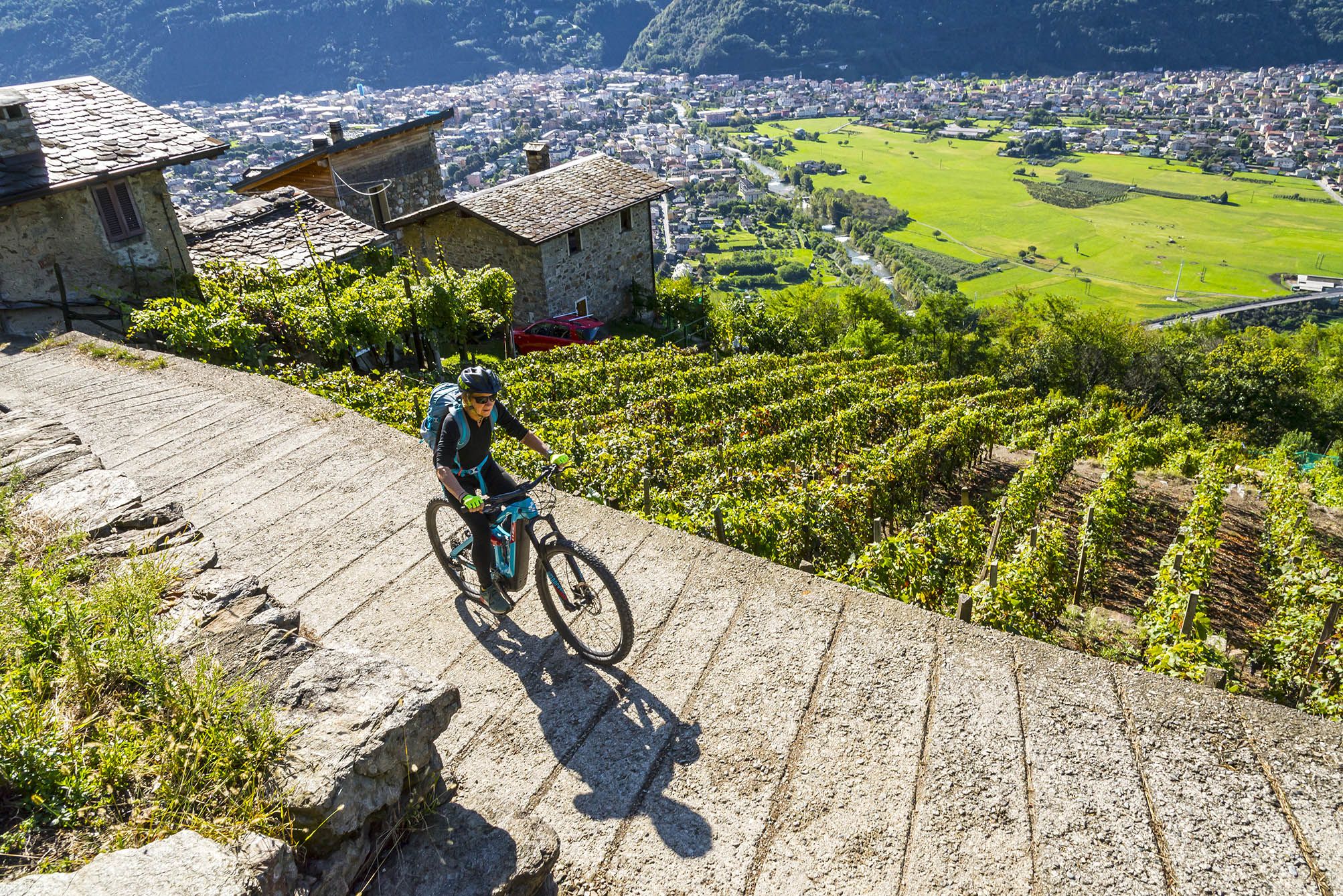
Cycling routes to discover authentic Lombardy
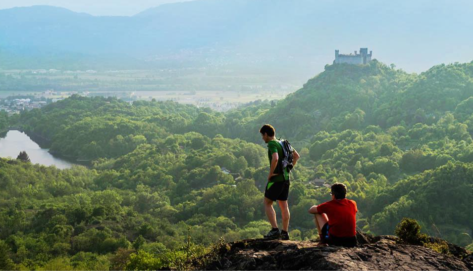
Car Free Piedmont – hiking face to face with nature
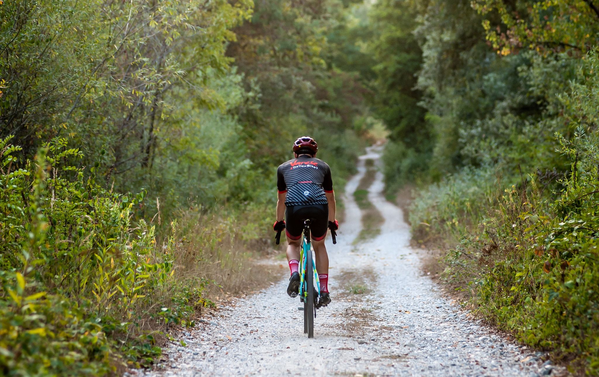
Gravel in Varese – in the land of lakes and UNESCO sites
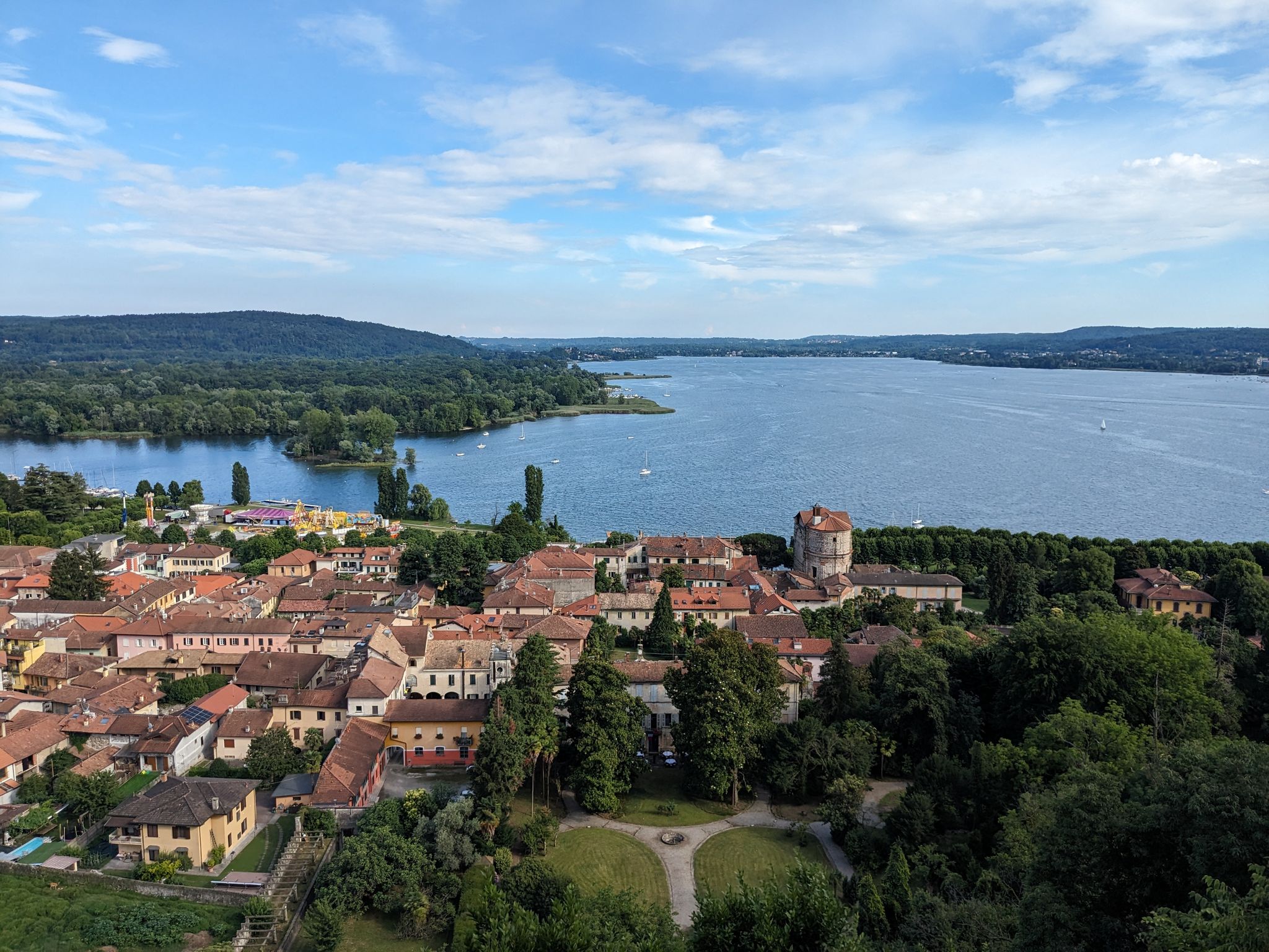
Castles, hermitages and villas – Tour of Lake Maggiore
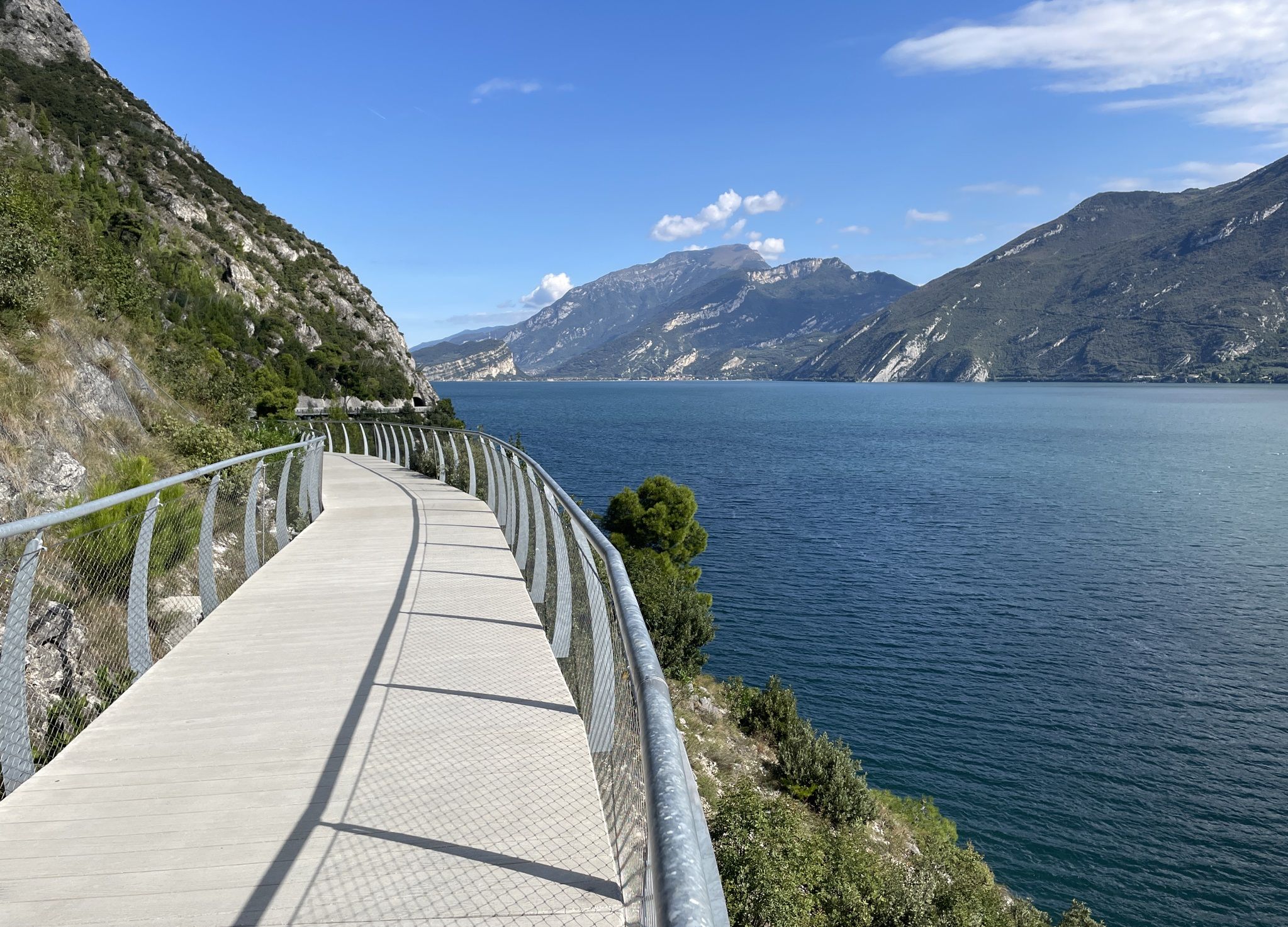
Mountains, plains, rivers and lakes — cycling in Italy’s Lombardy region
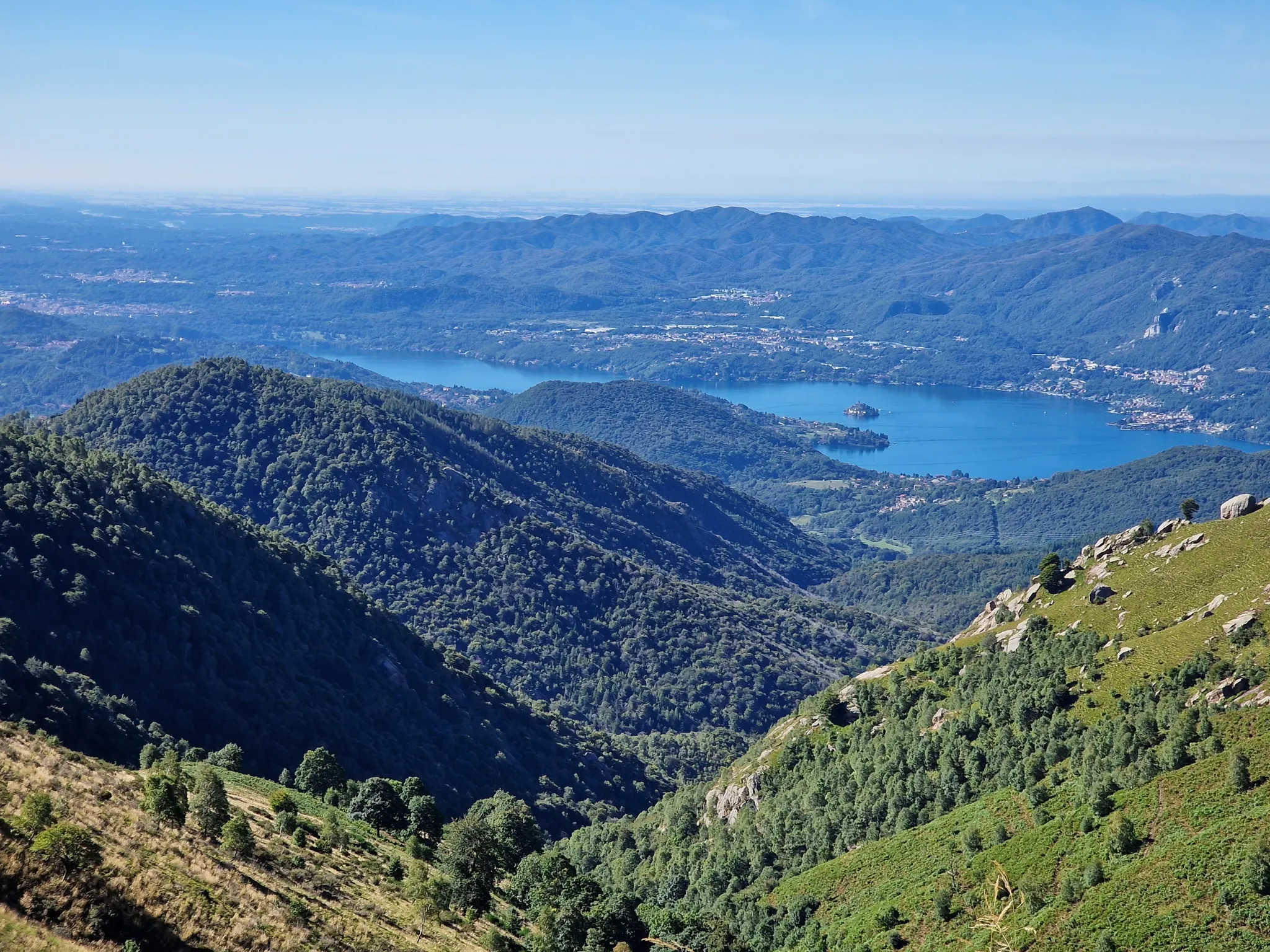
Around Lake Maggiore
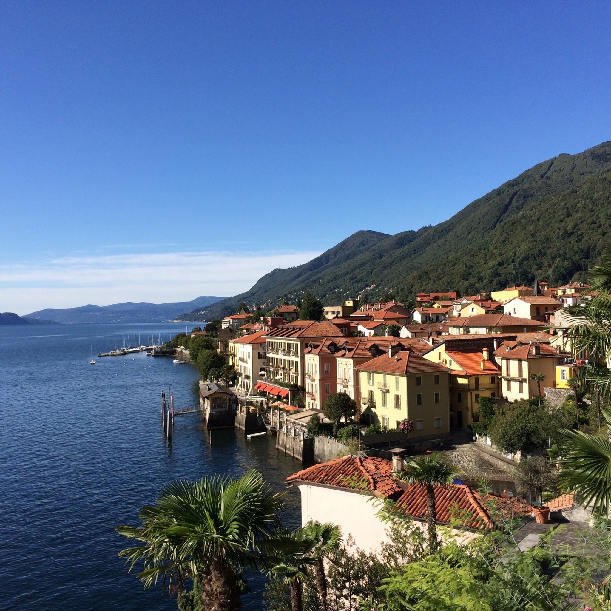
Hiking around Lake Maggiore
Road Cycling Routes around Lake Maggiore
Cycling around Lake Maggiore
Other adventures around Lake Maggiore


Tips from the Community

Not recommended, we did the hike yesterday, but had to turn back after about half way as many fallen trees blocked the path and bypassing them was initially possible but very demanding due to the steep slope, later it was impossible to get through, problem-free up to Alpe Gallona then better to turn back.
1
0

Small space equipped with signs on the history of stonemasons.
0
0

Getting to the top is exciting.
0
0
Very fun short exposed section
1
0
Dancing Bridge by name and by nature. Very safe, however.
0
0
So there's no via ferrata to be seen anywhere, except for the 1-meter chain that serves as a handrail when it's wet...
0
0

Beautiful hike to the summit! Quite steep, but absolutely worth it!
2
0
I hiked the route from Cannobio today. Breakfast in St. Agatha, then the church of St. Luca, Alpe Marcalone, and then up to the summit. The rocky, stepped climb is rewarded with a magnificent view. It's deeply relaxing. It's recommended to use hiking poles for support, though, as there are many loose stones and large steps. It was almost 1,100 meters in elevation, and I'm 64.
1
0
Frequently Asked Questions
What kind of mountaineering routes can I expect around Lake Maggiore?
Lake Maggiore offers a diverse range of mountaineering routes, primarily in a pre-Alpine environment. You'll find rugged mountain landscapes, jagged banks, rocky paths, and significant elevation gains. The terrain is framed by the Pennine and Lepontine Alps, providing options for various skill levels, from moderate to difficult. Many routes offer stunning panoramic views of the glacial lake.
Are there any easy mountaineering routes suitable for beginners around Lake Maggiore?
While many routes around Lake Maggiore are rated difficult, there are 14 moderate mountaineering routes available. These routes still offer a rewarding experience in the pre-Alpine landscape without the extreme challenges of the most difficult trails. It's always recommended to check the specific route details on komoot for elevation gain and distance to ensure it matches your fitness level.
What are some notable natural attractions or landmarks I can see while mountaineering in the region?
The Lake Maggiore region is rich in natural beauty. You can explore areas like the Val Grande National Park, known as Italy's largest wilderness area, or witness the spectacular Toce Waterfall, one of Europe's highest. Other impressive natural features include the dramatic Orridi di Uriezzo gorges. Many routes also offer breathtaking views of Lake Maggiore itself, for example, from Monte Morissolo.
Are there any circular mountaineering routes around Lake Maggiore?
Yes, several mountaineering routes around Lake Maggiore are designed as loops. For instance, the Americans' Quarry loop from Baveno is a difficult 4.9 km trail. Another option is the Americans' Quarry – View of Isola Madre loop from Baveno, which is a difficult 8.3 km route offering great views.
What do other mountaineers enjoy most about the routes in Lake Maggiore?
The mountaineering routes around Lake Maggiore are highly rated by the komoot community, with an average score of 4.8 stars from over 100 reviews. Mountaineers frequently praise the stunning glacial lake views, the challenging and varied terrain, and the immersive alpine experience offered by the region's pre-Alpine setting.
Can I find mountaineering routes that offer views of the Borromean Islands?
Yes, some routes provide excellent vantage points for viewing the famous Borromean Islands. For example, the Americans' Quarry – View of Isola Madre loop from Baveno offers views of Isola Madre. Additionally, you can find highlights like the Isola Bella Palace and Gardens or the Shell Grottos of the Palazzo Borromeo, Isola Bella which are accessible after your hike.
Are there any routes that involve a cable car for easier access to higher elevations?
Yes, one popular route that utilizes a cable car is the Lake Maggiore Cable Car – View from Sasso del Ferro loop from Laveno Mombello Lago. This difficult 8.6 km trail allows you to gain significant elevation quickly, providing panoramic views over the lake from Sasso del Ferro.
What is the best time of year for mountaineering around Lake Maggiore?
The pre-Alpine environment of Lake Maggiore makes it suitable for mountaineering primarily during the warmer months, typically from late spring to early autumn. This period offers more stable weather conditions and accessible trails. Always check local weather forecasts and trail conditions before heading out, especially in shoulder seasons.
Are there any protected natural areas or parks that mountaineering routes pass through?
Absolutely. The region is committed to preserving its natural wilderness. Mountaineering routes can lead you through or near significant protected areas such as Val Grande National Park, known for its extreme wilderness. Other nearby reserves include Fondotoce Nature Reserve, Lagoni di Mercurago Natural Park, and Alpe Veglia and Devero Regional Park, offering diverse ecosystems and landscapes.
How many mountaineering routes are available in the Lake Maggiore region?
There are 36 mountaineering routes available around Lake Maggiore. These routes vary in difficulty, with 14 classified as moderate and 22 as difficult, providing a wide range of options for different experience levels.
Are there any historical sites or castles near the mountaineering routes?
Yes, the Lake Maggiore area combines natural beauty with rich history. While mountaineering, you might find yourself near historical sites. For example, the Borromean Fortress of Arona and the Iron House are notable historical attractions in the vicinity. The UNESCO World Heritage site of Sacro Monte di Ghiffa also offers a blend of spiritual artistry and scenic views.
Most popular routes around Lake Maggiore
Most popular attractions around Lake Maggiore

Get inspired with the komoot mobile app


Explore more
Browse the best Mountain Hikes & Routes in other regions.
