The best mountain hikes around Étangs de Fontargente
5.0
(4)
33
hikers
5
hikes
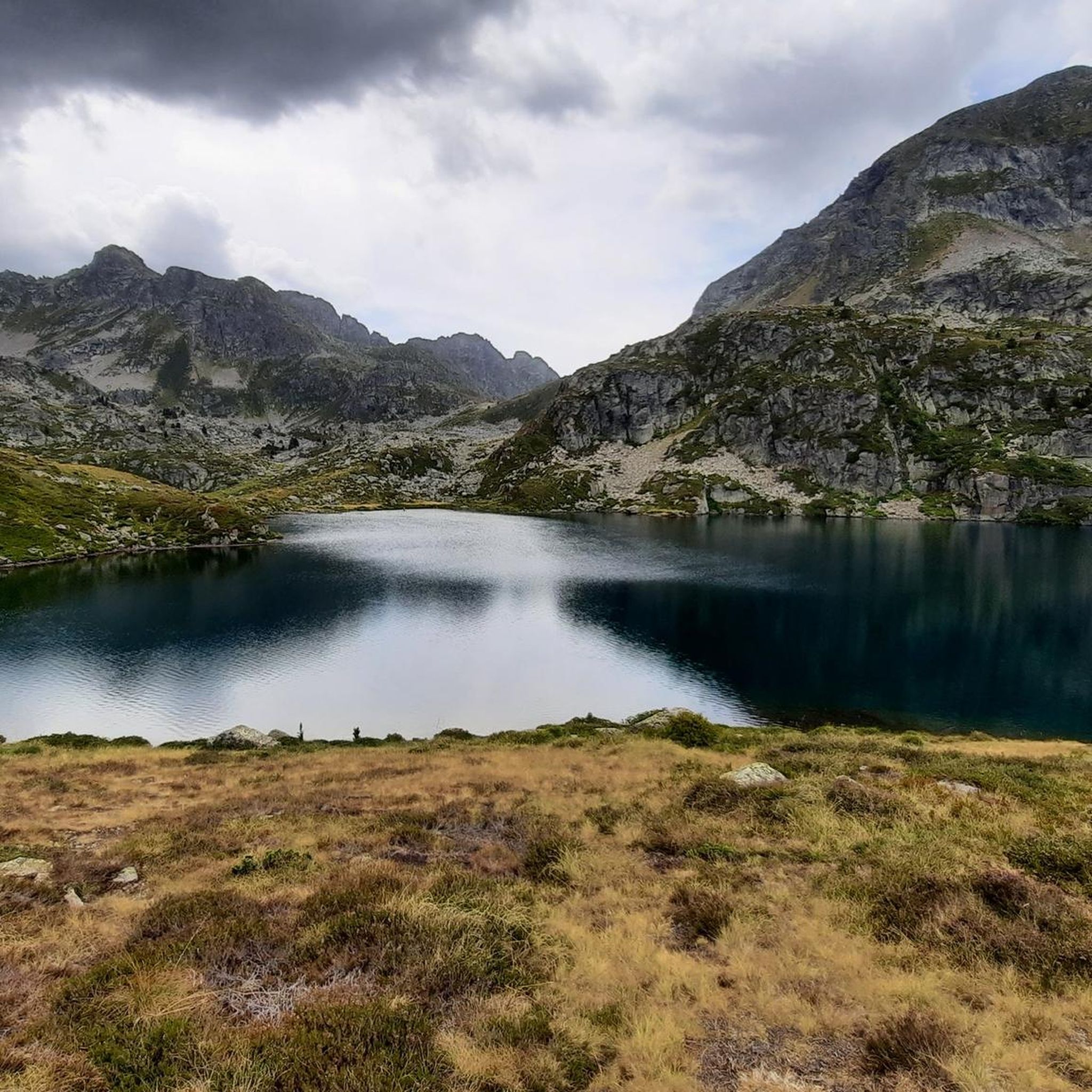
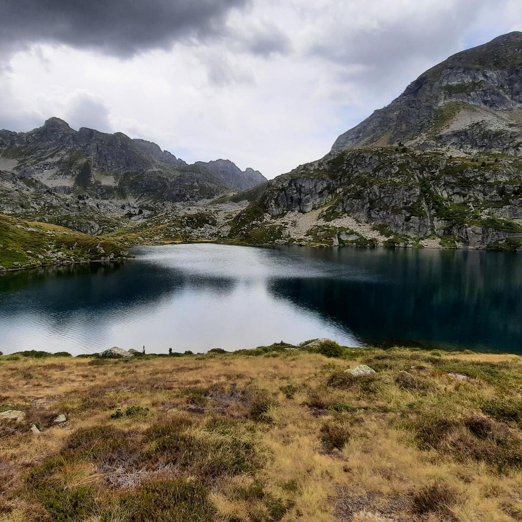
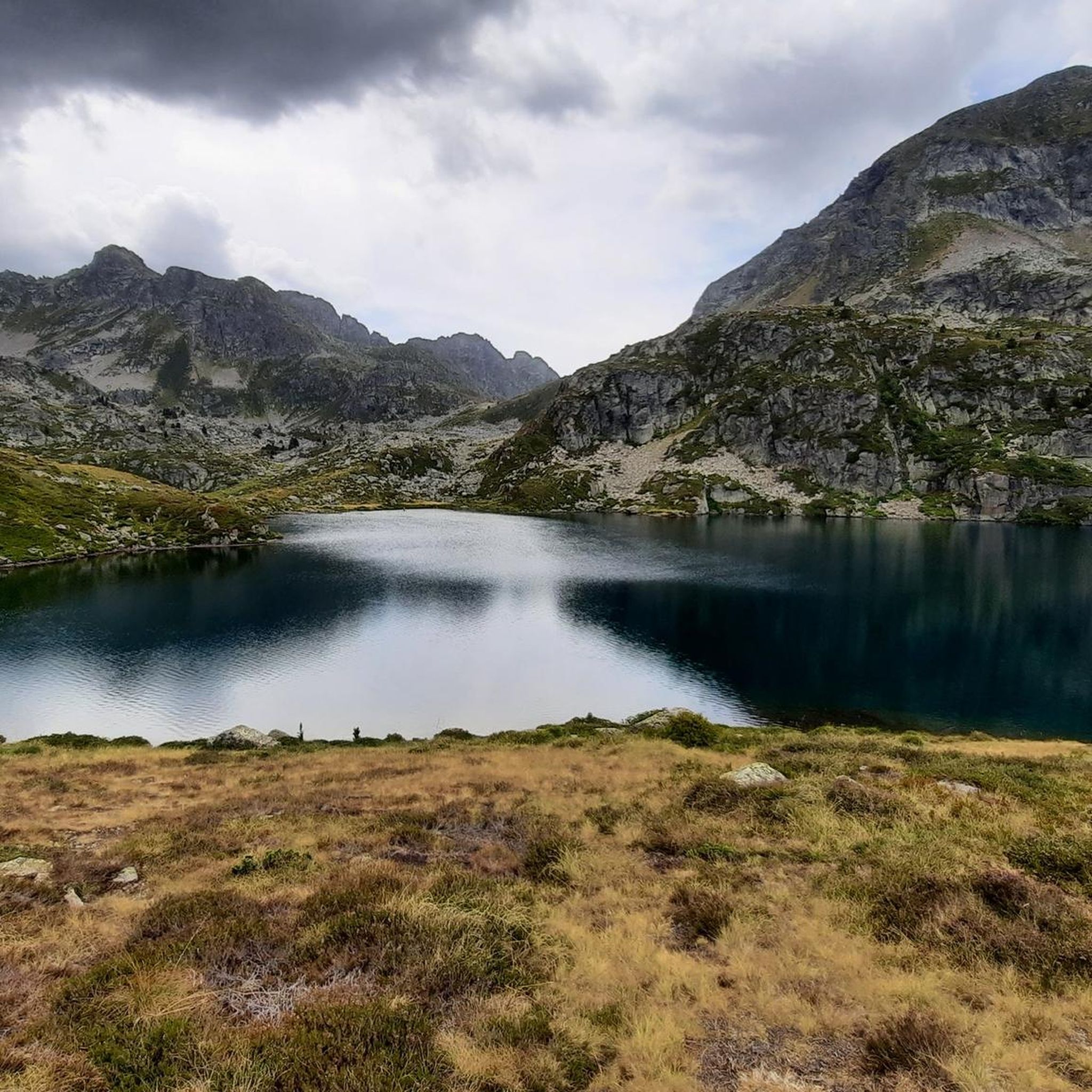
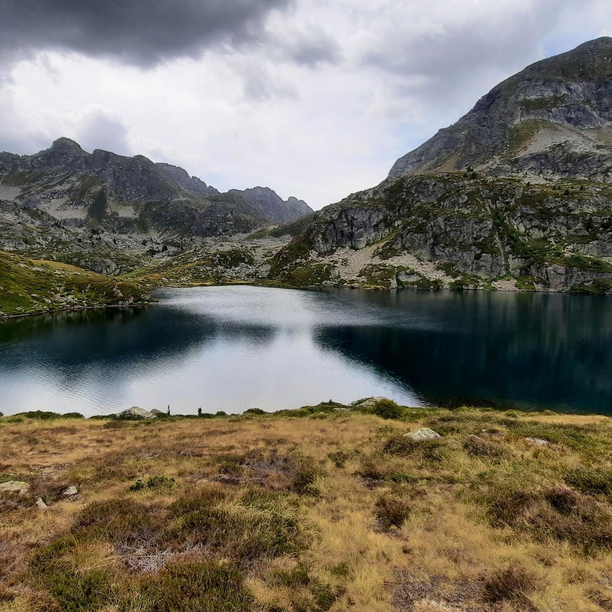
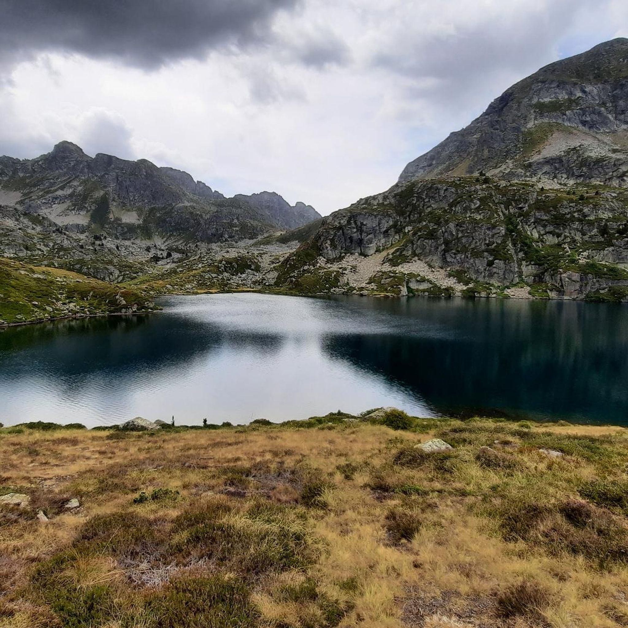
Mountaineering routes around Étangs de Fontargente are set within a dramatic glacial cirque in the French Pyrénées, characterized by three main lakes with clear, often emerald or silver-hued waters. The terrain features imposing rocky walls, grassy slopes, and significant peaks such as Pic de Rulhe (2783m) and Pic de Fontargente (2618m). This high-mountain environment offers diverse challenges and panoramic viewpoints, including glimpses into the Andorran Val d'Inclès.
Best mountaineering routes around Étangs de Fontargente
- The most popular mountaineering route is Fontargente Ponds loop from Plat des Peyres, a 5.3 miles (8.5 km) trail that takes 3 hours 41 minutes to complete. This moderate route offers a circuit around the main Fontargente lakes, starting from the accessible Pla de Las Peyres.
- Another top favourite among local mountaineers is Fontargente Ponds – Estanys de Juclà loop from Refugi de Cabana Sorda, a difficult 8.8 miles (14.1 km) path. This challenging route connects the Fontargente lakes with other alpine lakes, featuring significant elevation gain and varied high-mountain terrain.
- Local mountaineers also love the Pic de la Serrera – Collada de Meners loop from Refugi de Coms de Jan, a 5.7 miles (9.2 km) trail leading through high-altitude terrain with panoramic views, often completed in about 4 hours 27 minutes.
- Mountaineering around Étangs de Fontargente is defined by glacial cirques, pristine alpine lakes, and prominent peaks, offering routes for various ability levels.
- The routes in Étangs de Fontargente are highly rated by the komoot community with an average score of 5.0 stars from over 7 reviews. More than 40 mountaineers have used komoot to explore Étangs de Fontargente's varied terrain.
Last updated: July 4, 2026
1
hikers
11.0km
04:41
560m
560m
Moderate mountaineering route. Good fitness required. Mostly accessible paths. Sure-footedness required.
6
hikers
Hard mountaineering route. Very good fitness required. Mostly accessible paths. Sure-footedness required.

Sign up for free
5.0
(1)
4
hikers
9.24km
03:20
520m
520m
Moderate mountaineering route. Good fitness required. Easily-accessible paths. Suitable for all skill levels.
2
hikers
12.2km
04:53
810m
810m
Moderate mountaineering route. Good fitness required. Mostly accessible paths. Sure-footedness required.
6
hikers
9.22km
04:27
900m
900m
Hard mountaineering route. Very good fitness required. Mostly accessible paths. Sure-footedness required.
Our route recommendations are based on thousands of hikes, rides, and runs completed by other people on komoot.
Start today with a free account
Your next adventure awaits.
Login or Signup
Tips from the Community

A very clean toilet building. There is also a defibrillator hanging here. Directly on the bridge over the river
1
0

wonderful place for an extensive break when we visited, there were horses grazing with foals up there. Soooo cute.
0
0
Great panoramic view of France and Spain and the mega beautiful mountain scenery. I am very happy that the weather held up during our ascent. It was really mega beautiful up there. However, the ascent and descent are not for the inexperienced.
0
0
Great connection with public transport. I traveled from El Tarter by bus. It was great
0
0
So beautiful there. Wonderful mountain pass and space for a lively rest and the all-round view is simply fantastic 🥰.
0
0

The climb is steep, but manageable. The view from up there, stretching far into France, is definitely worth it!
0
0
Frequently Asked Questions
What kind of terrain can I expect on mountaineering routes around Étangs de Fontargente?
The Étangs de Fontargente region features a dramatic glacial cirque with three main lakes known for their clear, often emerald or silver-hued waters. You'll encounter imposing rocky walls, high-altitude pastures, and grassy slopes, with significant peaks like Pic de Rulhe (2783m) and Pic de Fontargente (2618m) framing the landscape. The terrain offers diverse challenges and panoramic viewpoints, including glimpses into the Andorran Val d'Inclès.
How many mountaineering routes are available in Étangs de Fontargente?
There are 10 mountaineering routes documented in the Étangs de Fontargente area. These routes cater to various skill levels, with 7 classified as moderate and 3 as difficult.
Are there any moderate mountaineering routes suitable for those with some experience?
Yes, there are several moderate routes. A popular choice is the Fontargente Ponds loop from Plat des Peyres, an 8.5 km trail that typically takes around 3 hours 41 minutes to complete, offering a circuit around the main Fontargente lakes.
What are some challenging mountaineering routes in the Étangs de Fontargente area?
For experienced mountaineers, the Fontargente Ponds – Estanys de Juclà loop from Refugi de Cabana Sorda is a demanding 14.1 km path, connecting the Fontargente lakes with other alpine lakes and featuring significant elevation gain. Another difficult option is the Pic de la Serrera – Collada de Meners loop from Refugi de Coms de Jan, a 9.2 km route through high-altitude terrain with panoramic views.
What are the main attractions or points of interest along these routes?
The primary attractions are the three Étangs de Fontargente themselves, known for their picturesque beauty. The Port de Fontargente, a mountain pass at 2,263 meters, offers expansive views into Andorra. Additionally, mountain huts like the Cabana Coms de Jan and Refuge du Rulhe serve as important waypoints and provide shelter.
Are there any circular mountaineering routes in Étangs de Fontargente?
Yes, many routes in the area are circular. For example, the Fontargente Ponds loop from Plat des Peyres is a moderate circular trail around the lakes. Another is the Cabana Coms de Jan (1720 m) loop from Refugi de Coms de Jan, which is also a moderate circular route.
What is the best season for mountaineering in Étangs de Fontargente?
The best season for mountaineering in the Étangs de Fontargente typically runs from late spring to early autumn (June to September), when the snow has largely melted, and weather conditions are more stable. However, conditions can change rapidly in the mountains, so always check the forecast before heading out.
What do other mountaineers say about the routes in Étangs de Fontargente?
The mountaineering routes in Étangs de Fontargente are highly rated by the komoot community, with an average score of 5.0 stars from over 7 reviews. Mountaineers often praise the pristine alpine lakes, the dramatic glacial cirque, and the diverse challenges offered by the high-mountain environment.
Are there options for longer, more strenuous mountaineering trips?
Absolutely. For a longer and more strenuous experience, consider the Estany de Baix de Siscaró – Soldeu Loop loop from Canillo. This difficult route covers 15.5 km with nearly 960 meters of elevation gain, typically taking around 5 hours 40 minutes to complete.
What kind of wildlife might I spot on the trails around Étangs de Fontargente?
The high-mountain environment of the Pyrénées is home to diverse wildlife. While specific sightings are never guaranteed, you might encounter various bird species, marmots, and possibly chamois or ibex in the rocky areas. The Étangs de Fontargente are also known for their Fario trout and Arctic char, making them popular for anglers.
Most popular routes around Étangs de Fontargente

Get inspired with the komoot mobile app


Explore more
Browse the best Mountain Hikes & Routes in other regions.
