The best road cycling routes around Étangs de Fontargente
4.4
(60)
4,332
riders
16
rides
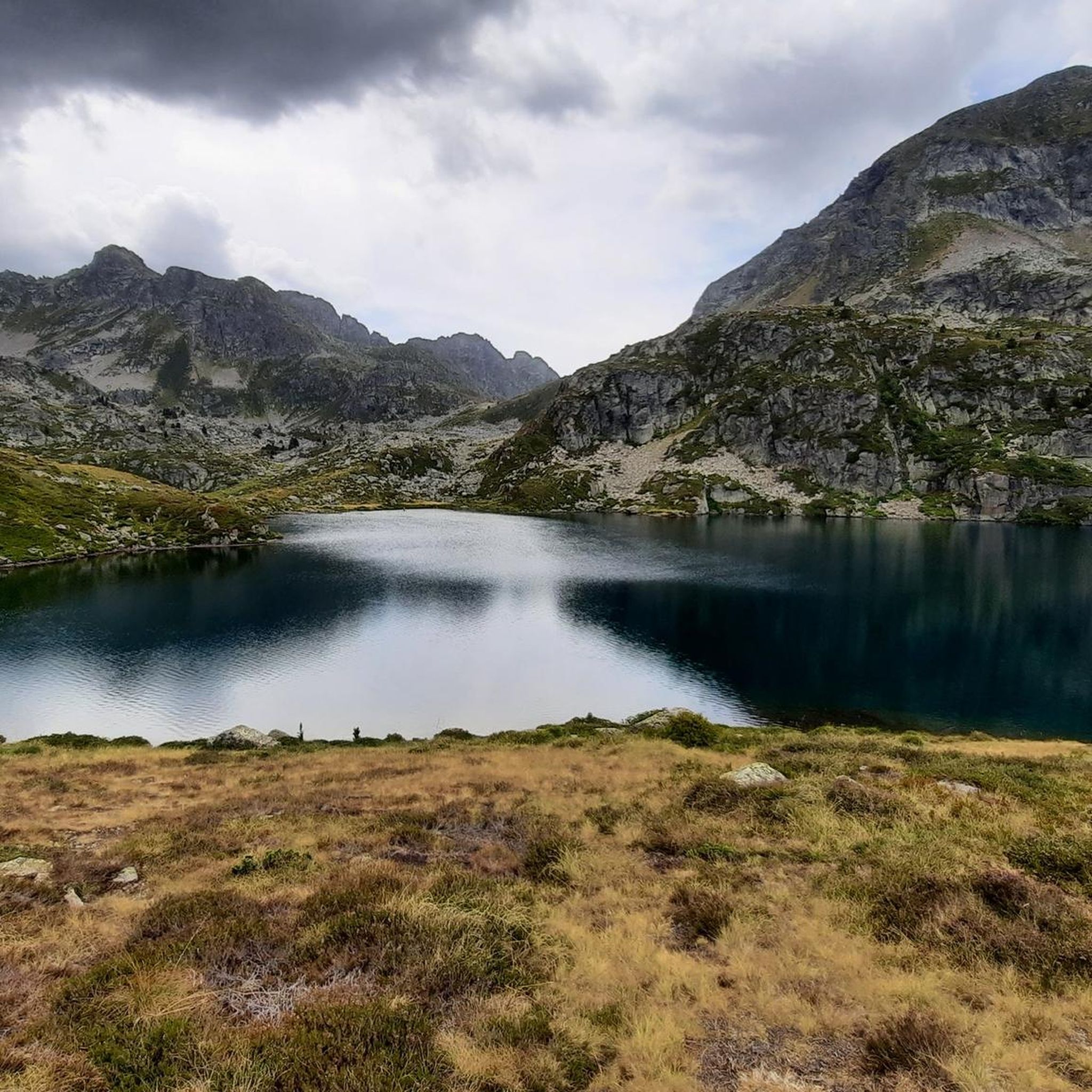
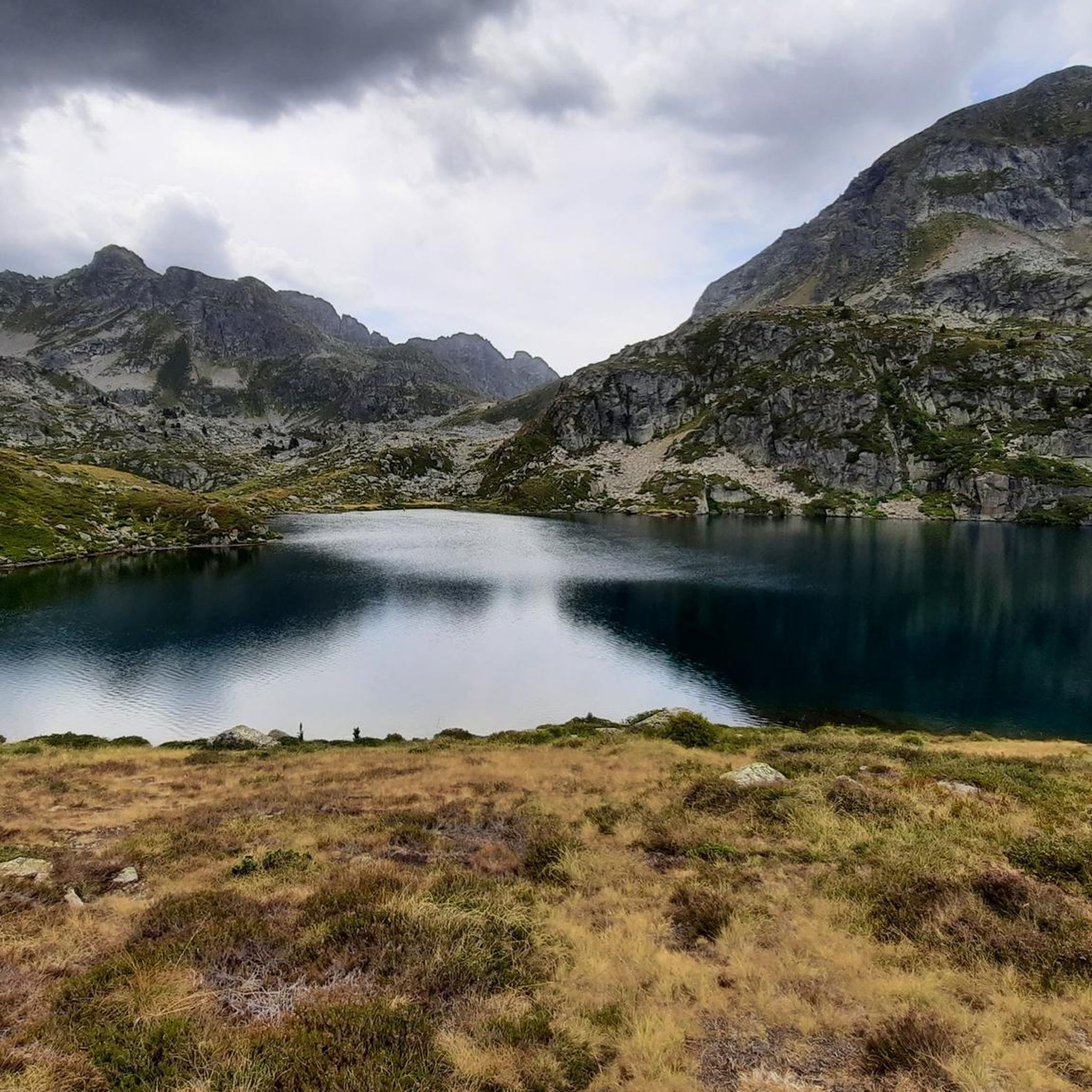
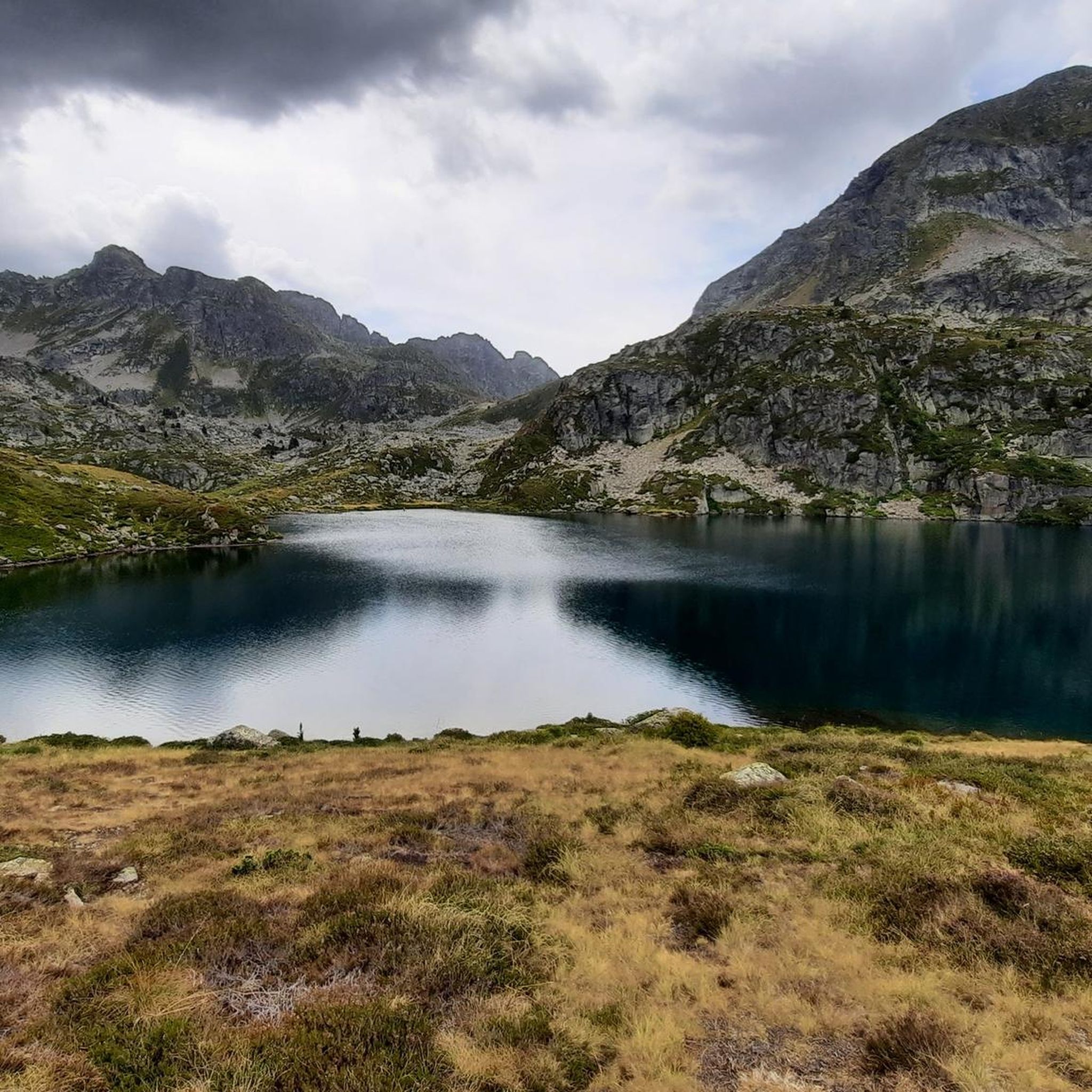
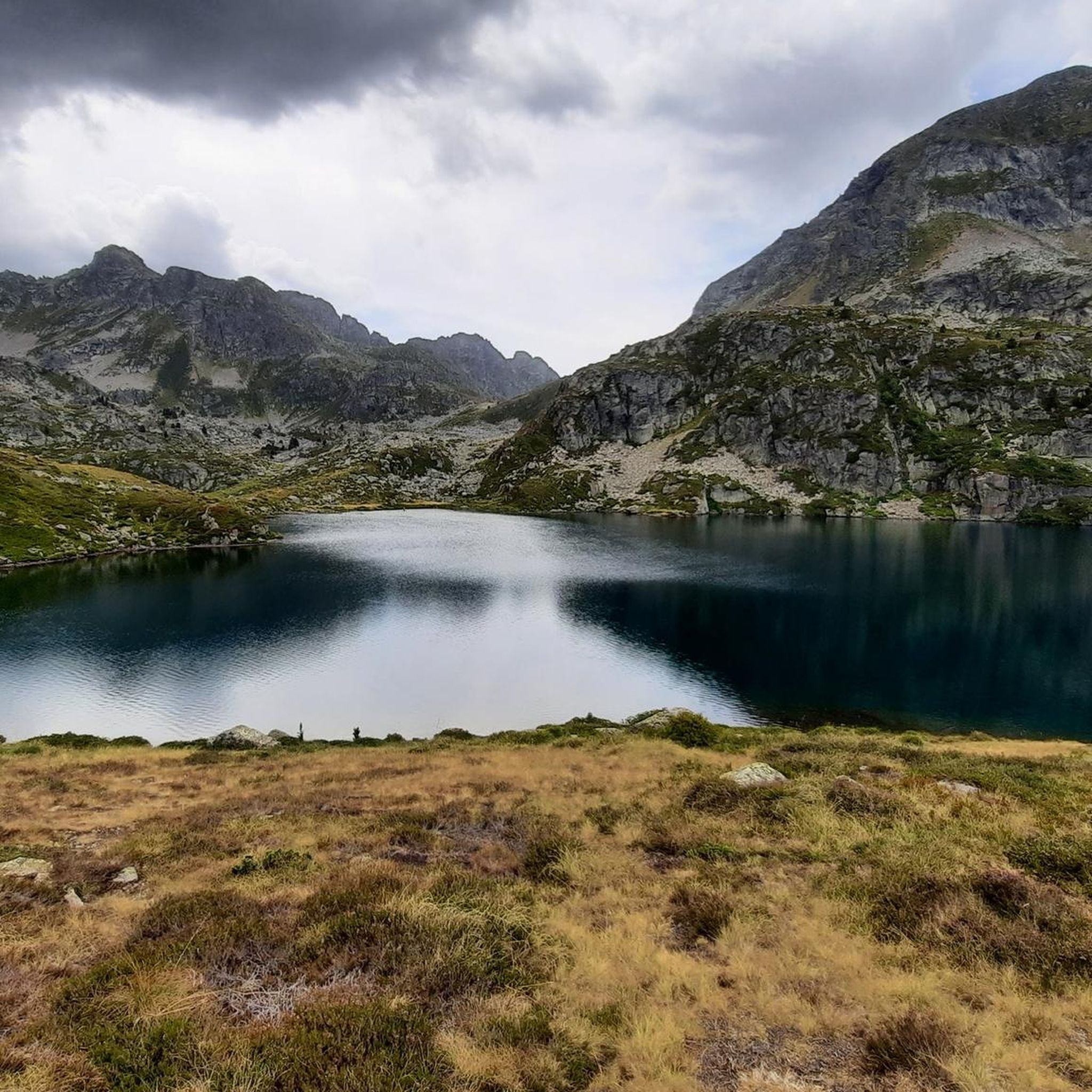
Road cycling routes around Étangs de Fontargente are situated within the Ariège Pyrenees, an area characterized by high mountain lakes, vast high pastures, and challenging terrain. While the Étangs de Fontargente themselves are at altitudes of over 2100m, the broader region offers varied gradients and significant ascents suitable for road cycling. The landscape features a mix of valleys, rocky walls, and mountain passes, providing diverse conditions for cyclists. This border massif with Andorra is known for its demanding routes and…
Last updated: October 21, 2026
4.0
(4)
293
riders
39.4km
02:14
900m
900m
Hard road ride. Very good fitness required. Mostly well-paved surfaces and easy to ride.
4.0
(2)
83
riders
110km
06:34
2,730m
2,730m
Hard road ride. Very good fitness required. Some segments of this route may be unpaved and difficult to ride.

6
riders
10.9km
00:43
300m
300m
Moderate road ride. Good fitness required. Mostly well-paved surfaces and easy to ride.
4.8
(22)
1,992
riders
64.9km
04:01
1,840m
1,840m
Hard road ride. Very good fitness required. Mostly well-paved surfaces and easy to ride.
4.5
(2)
436
riders
49.8km
02:57
1,260m
1,260m
Hard road ride. Very good fitness required. Mostly well-paved surfaces and easy to ride.
Get access to more routes and recommendations from other explorers.
Already have an account?
Our route recommendations are based on thousands of hikes, rides, and runs completed by other people on komoot.
Start today with a free account
Your next adventure awaits.
Tips from the Community


The houses in their slate/stone look fit wonderfully into the valleys of Andorra. I think it looks really great.
0
0
Great connection with public transport. I traveled from El Tarter by bus. It was great
3
0
Frequently Asked Questions
How many road cycling routes are available around Étangs de Fontargente?
The Étangs de Fontargente area offers a diverse selection of over 15 road cycling routes. These routes cater to various skill levels, ranging from moderate to difficult, and are highly rated by the komoot community.
What is the best time of year for road cycling in the Ariège Pyrenees near Fontargente?
The best time for road cycling in the Ariège Pyrenees, including the area around Étangs de Fontargente, is typically from late spring through early autumn. During these months, the weather is generally more stable, and mountain passes are clear of snow, offering optimal conditions for exploring the varied terrain and scenic views.
What are the typical difficulty levels for road cycling routes in this region?
Road cycling routes around Étangs de Fontargente are known for their varied gradients, offering options from moderate to challenging. You'll find routes with significant elevation gains, characteristic of the Pyrenean landscape. For example, the Coll d'Ordino – Coll d’Ordino loop from Canillo is a difficult route with over 1300 meters of elevation gain.
Are there any road cycling routes that include waterfalls?
Yes, some routes in the area lead through scenic valleys and past natural features like waterfalls. The Incles Valley – Waterfall in the Vall d'Incles loop from Canillo is a popular moderate route that takes you past a beautiful waterfall.
Can I find family-friendly road cycling routes near Étangs de Fontargente?
While the immediate high mountain area is known for challenging terrain, the broader Ariège Pyrenees region offers routes suitable for various skill levels. Some moderate routes, such as the Incles Valley – Sant Joan de Caselles Church loop from Canillo, feature gentler ascents and can be more suitable for families looking for a less demanding ride.
Are there challenging routes with significant elevation gains for experienced road cyclists?
Absolutely. The region is ideal for experienced road cyclists seeking demanding ascents. Routes like the Port d'Envalira – Backside of Envalira loop from Canillo offer over 1000 meters of elevation gain, providing a true Pyrenean challenge with stunning mountain pass views.
Are there road cycling routes that cross into Andorra from the Étangs de Fontargente area?
Yes, the Étangs de Fontargente area is part of a border massif with Andorra, and several road cycling routes venture into or near Andorra. Routes starting from Canillo, such as the Coll d'Ordino – Coll d’Ordino loop from Canillo, explore the challenging terrain of the Andorran Pyrenees, offering a unique cross-border cycling experience.
What kind of scenic views can I expect on road cycling routes in this area?
Cyclists can expect magnificent scenery, including vast high pastures, towering rocky walls, and picturesque valleys. From certain points, like the Port de Fontargente, you can enjoy panoramic views of Andorra. The routes often follow streams and offer a mix of soft and wild landscapes.
Are there circular road cycling routes available?
Many of the road cycling routes in the Étangs de Fontargente area are designed as loops, allowing you to start and finish at the same point. Examples include the Coll d'Ordino – Coll d’Ordino loop from Canillo and the Sant Pere del Tarter Hermitage – Ransol Village loop from Canillo, providing convenient options for exploration.
Where can I park my car when starting a road cycling route near Étangs de Fontargente?
While the road directly to Pla de Las Peyres (a common starting point for treks to the lakes) can be in poor condition, parking is generally available in nearby villages or designated areas before the more challenging road sections. It's advisable to check specific starting points for each route for the best parking options.
Is public transport an option to reach road cycling starting points?
Public transport options directly to the high mountain starting points near Étangs de Fontargente may be limited. However, major towns in the Ariège Pyrenees region often have bus services that could connect you to areas where road cycling routes begin. Planning ahead and checking local transport schedules is recommended.
Are there cafes or accommodation options along the road cycling routes?
While the high mountain areas are remote, you can find cafes and accommodation in the villages and towns within the broader Ariège Pyrenees and Andorran regions that many routes pass through or start from. These provide opportunities for refreshments and overnight stays during your cycling adventures.
Is the area suitable for road cycling with dogs?
Road cycling itself is generally not suitable for dogs to accompany directly on the bike, especially on challenging mountain routes. If you plan to bring a dog, consider routes that allow for stops where your dog can rest, or explore the many hiking opportunities in the region where dogs are often welcome on leash.
What do other road cyclists say about the routes around Étangs de Fontargente?
The road cycling routes around Étangs de Fontargente are highly rated by the komoot community, with an average score of 4.5 stars from over 50 reviews. Cyclists often praise the challenging ascents, the stunning Pyrenean landscapes, and the sense of accomplishment from conquering mountain passes.
Most popular routes around Étangs de Fontargente

Get inspired with the komoot mobile app


Explore more
Browse the best Road cycling routes in other regions.
