The best cycling routes around Quintanar De La Sierra
4.7
(6)
215
riders
15
rides
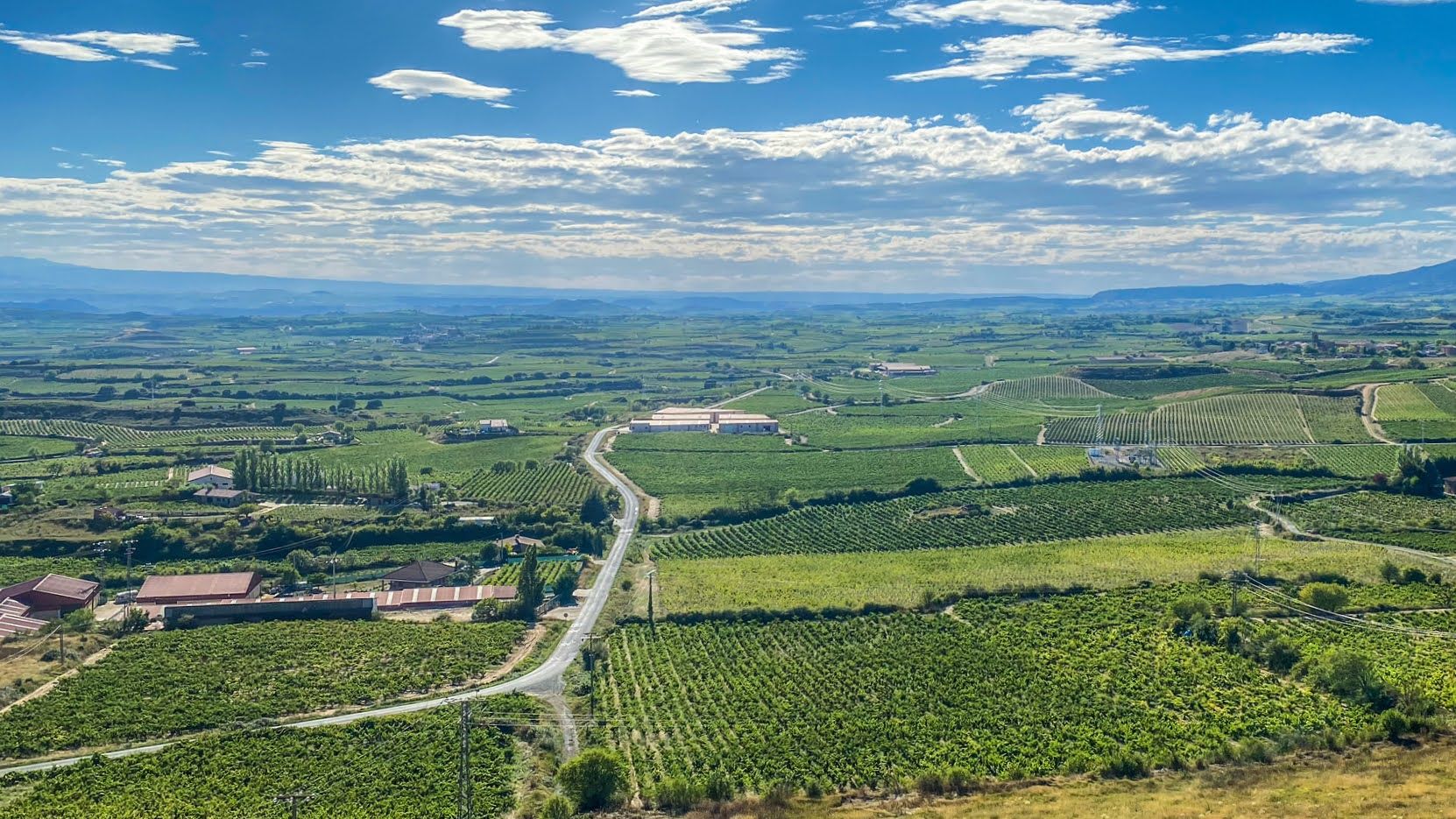
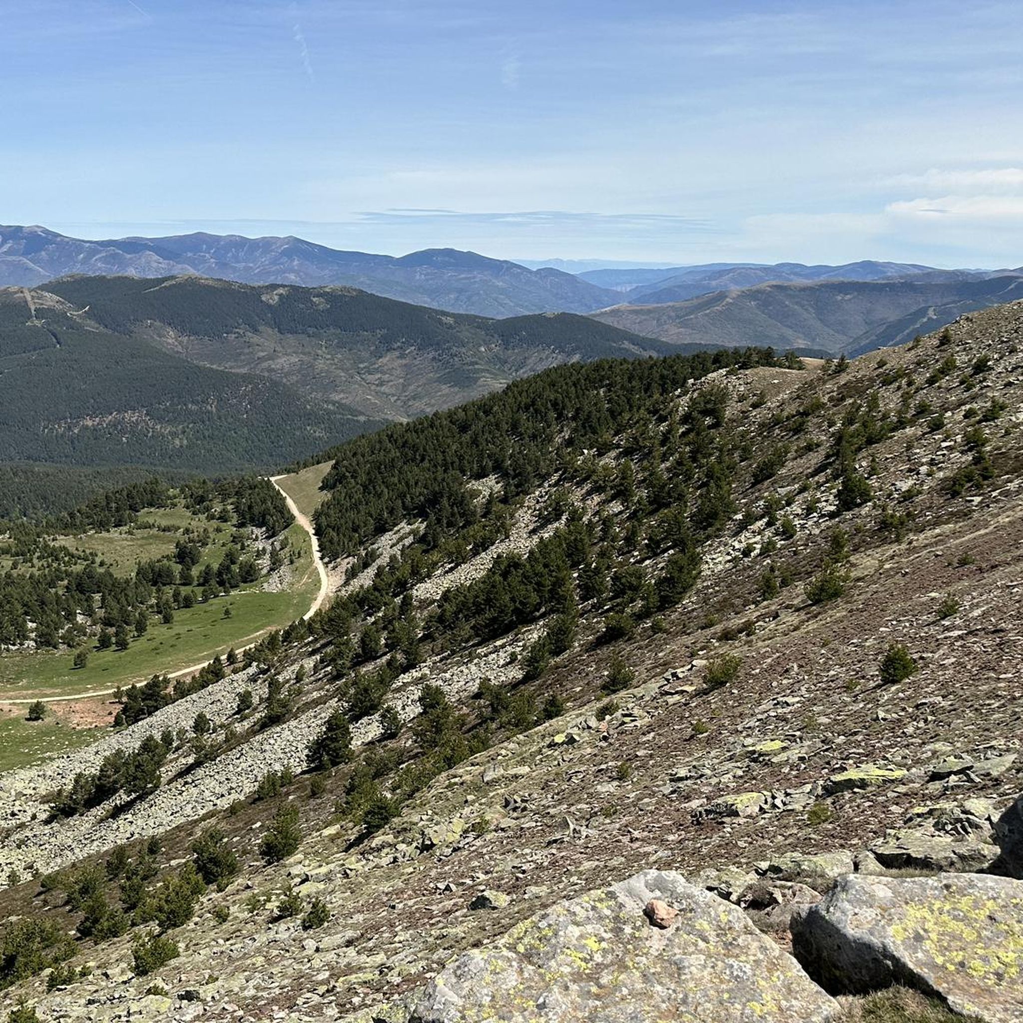
Touring cycling routes around Quintanar De La Sierra traverse a landscape characterized by extensive Scots pine forests and picturesque lacustrine zones. The region features the Arlanza River and the River of Las Gargantas, with notable waterfalls like El Chorlón. Geological formations such as the "Calderas de Neila" and "Peña del Vaso" add to the varied terrain, offering panoramic views. The Sierra de Neila, home to a Natural Park, contributes to the area's diverse natural features.
Best touring cycling routes around…
Last updated: October 16, 2026
27
riders
Hard bike ride. Very good fitness required. Mostly paved surfaces. Suitable for all skill levels.
8
riders
49.2km
03:38
1,150m
1,150m
Hard bike ride. Very good fitness required. Mostly paved surfaces. Suitable for all skill levels.

24
riders
25.2km
02:03
750m
750m
Hard bike ride. Very good fitness required. Mostly paved surfaces. Suitable for all skill levels.
5.0
(1)
10
riders
Hard bike ride. Very good fitness required. Mostly paved surfaces. Suitable for all skill levels.
10
riders
78.9km
05:26
1,400m
1,400m
Hard bike ride. Very good fitness required. Mostly paved surfaces. Suitable for all skill levels.
Get access to more routes and recommendations from other explorers.
Already have an account?
Our route recommendations are based on thousands of hikes, rides, and runs completed by other people on komoot.
Start today with a free account
Your next adventure awaits.
Other adventures around Quintanar De La Sierra

Tips from the Community

A beautiful town in the Sierra de la Demanda.
0
0

Also weird abandoned houses nearby, so good campspot
0
0
A beautiful village in the PINARES region, in the province of Soria
0
0

To the north of the Sierra de Neila, at an altitude of 1,175 meters, is the town of Neila. Neila captivates for its traditional popular architecture, but also for being surrounded by high mountains and with innumerable different routes.
1
0
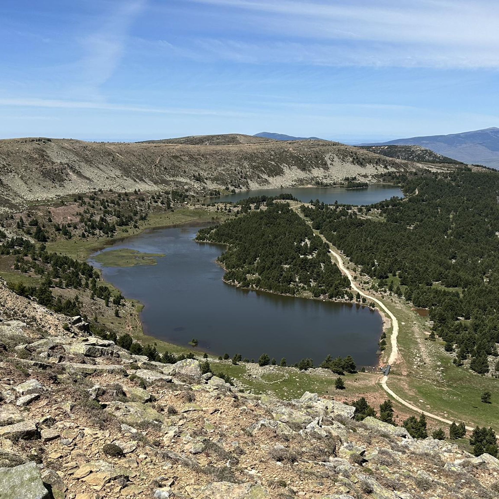
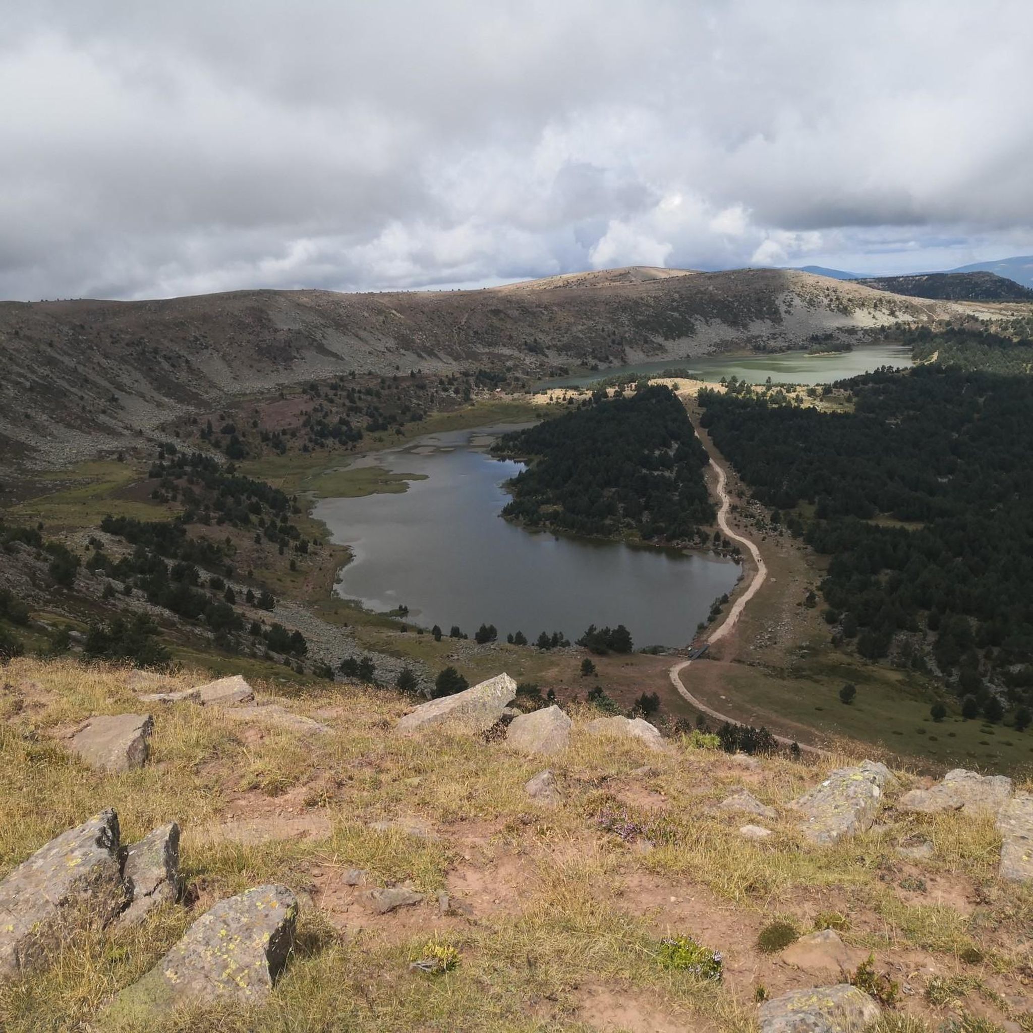
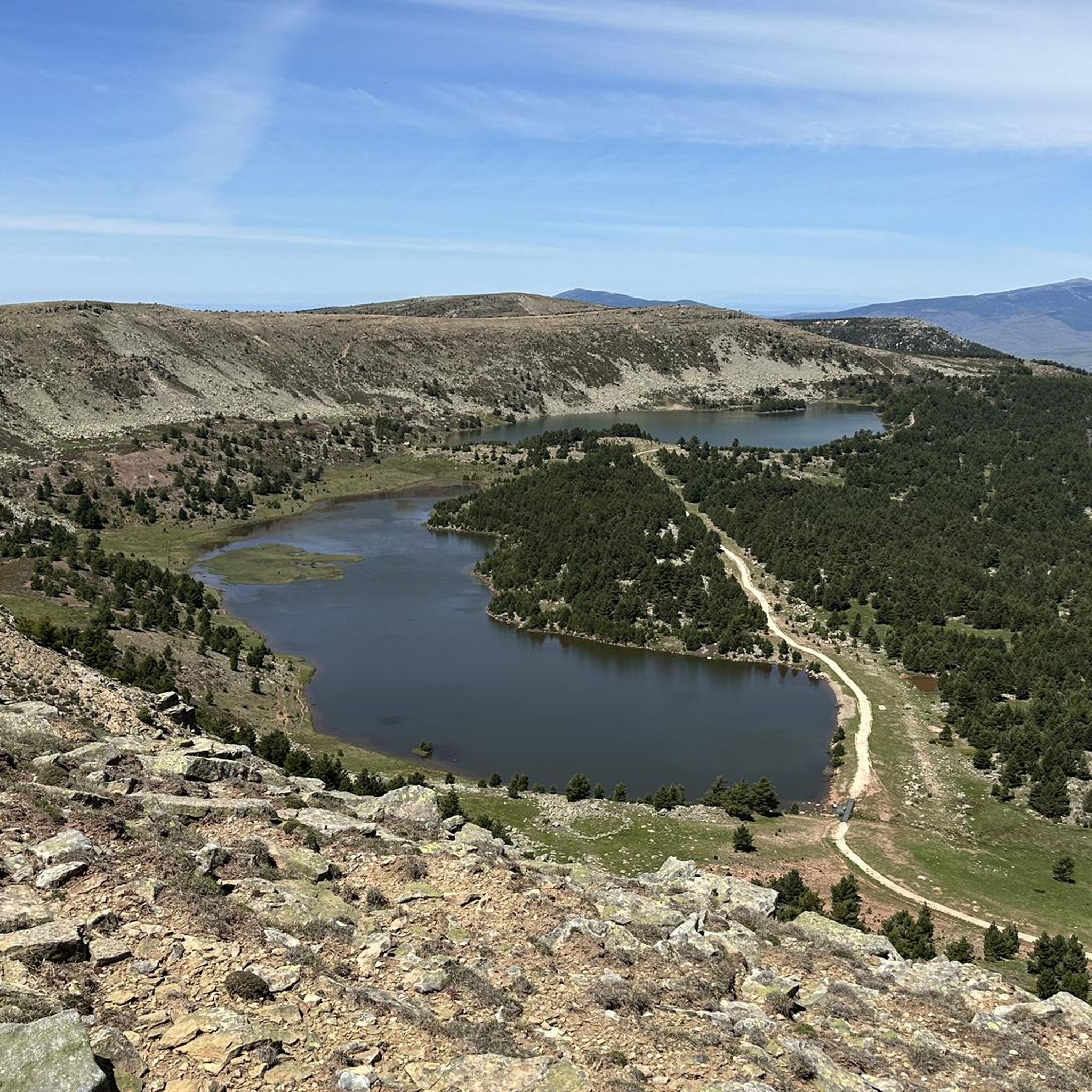
The panoramic view from the San Francisco viewpoint is simply amazing. The infinite views of the mountains that make up the Lagunas Glaciares de Neila Natural Park will amaze you.
2
0

Mountain pass that reaches more than one thousand three hundred meters in height and has a length of just over seven kilometers on a four percent percentage.
1
0
Direction to the famous mountain pass not only because it takes you to the foothills of the Lagunas de Neila but also because of its climb that comes from the center of Quintanar de la Sierra.
0
0
Frequently Asked Questions
How many touring cycling routes are available around Quintanar de la Sierra?
There are 21 touring cycling routes available around Quintanar de la Sierra, offering a variety of experiences through the region's natural landscapes.
What are the difficulty levels of the touring cycling routes in Quintanar de la Sierra?
The touring cycling routes in Quintanar de la Sierra are categorized as moderate and difficult. You'll find 9 moderate routes and 12 difficult routes, providing options for various skill levels.
Are there any circular touring cycling routes in the area?
Yes, many routes in Quintanar de la Sierra are circular. For example, the Parque Natural Lagunas Glaciares de Neila — circular from Quintanar de la Sierra is a popular option that explores the glacial lagoons.
What kind of terrain can I expect on the touring cycling routes?
The terrain around Quintanar de la Sierra is characterized by extensive Scots pine forests and picturesque lacustrine zones. You'll encounter varied landscapes, including river valleys, and significant elevation changes, especially on routes leading to areas like the Sierra de Neila.
What natural features or landmarks can I see along the cycling routes?
You can explore a wealth of natural features and landmarks. Routes often pass by the Arlanza River and the River of Las Gargantas. Notable sights include the unique geological formations of the "Calderas de Neila" with their waterfalls and lakes, and the striking rock formation "Peña del Vaso" offering panoramic views. You might also encounter highlights like La Cascada Lagoon or various mountain peaks such as Pico de Urbión.
Are there any historical sites accessible by touring bike?
Yes, you can cycle to historical sites. The Cuyacabras Necropolis loop from Quintanar de la Sierra takes you to the Necrópolis de Cuyacabras, an archaeological site with anthropomorphic tombs carved into rock, dating back to the High Middle Ages.
What do other touring cyclists enjoy most about cycling in Quintanar de la Sierra?
The area is highly rated by the komoot community, with an average score of 4.5 stars. Cyclists often praise the diverse natural landscapes, including the pine forests and lacustrine zones, and the challenging yet rewarding routes that offer stunning views and a true outdoor experience.
Are there any routes that offer scenic viewpoints?
Absolutely. The San Francisco Viewpoint – Neila Lagoons loop from Quintanar de la Sierra is specifically designed to offer views from the San Francisco Viewpoint. Additionally, the "Peña del Vaso" provides breathtaking panoramic views of the Sierra de la Demanda, and you can find highlights like Cabeza Alta Viewpoint in the region.
What is the best time of year for touring cycling in Quintanar de la Sierra?
Quintanar de la Sierra is known for its pristine environment, often called the "Costa del Oxígeno." While specific seasonal recommendations depend on personal preference, the region's natural beauty, particularly its pine forests and lacustrine zones, makes it enjoyable for cycling during milder seasons like spring and autumn when temperatures are comfortable and the scenery is vibrant.
Are there any longer touring routes that connect different towns?
Yes, there are longer routes designed to connect towns. The Quintanar de la Sierra – San Leonardo de Yagüe loop from Quintanar de la Sierra is a 57.4 km trail that leads through pine forests and connects these two towns, offering a more extensive cycling experience.
Can I find routes that explore the Sierra de Neila Natural Park?
Yes, the Sierra de Neila is a significant natural park in the area. The Parque Natural Lagunas Glaciares de Neila — circular from Quintanar de la Sierra route specifically explores the glacial lagoons within this Natural Park, offering stunning natural beauty.
Most popular routes around Quintanar De La Sierra
Most popular attractions around Quintanar De La Sierra

Get inspired with the komoot mobile app


Explore more
Browse the best Cycling routes in other regions.
