The best walks and hikes around Quintanar De La Sierra
4.6
(86)
710
hikers
12
hikes
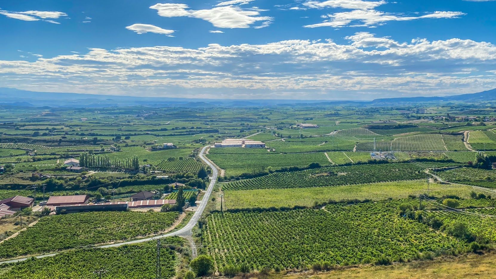
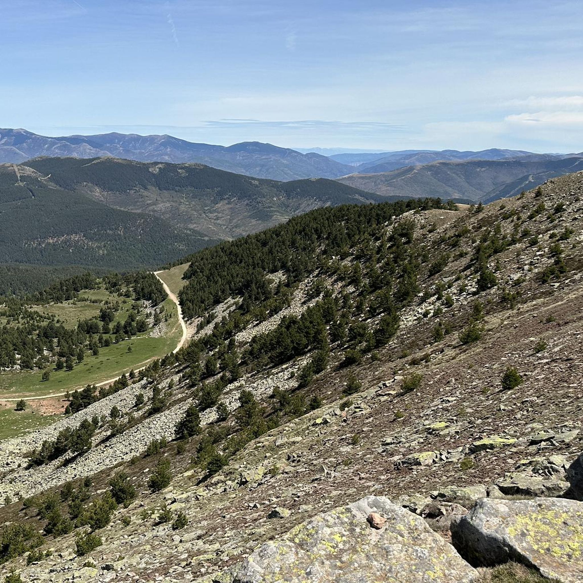
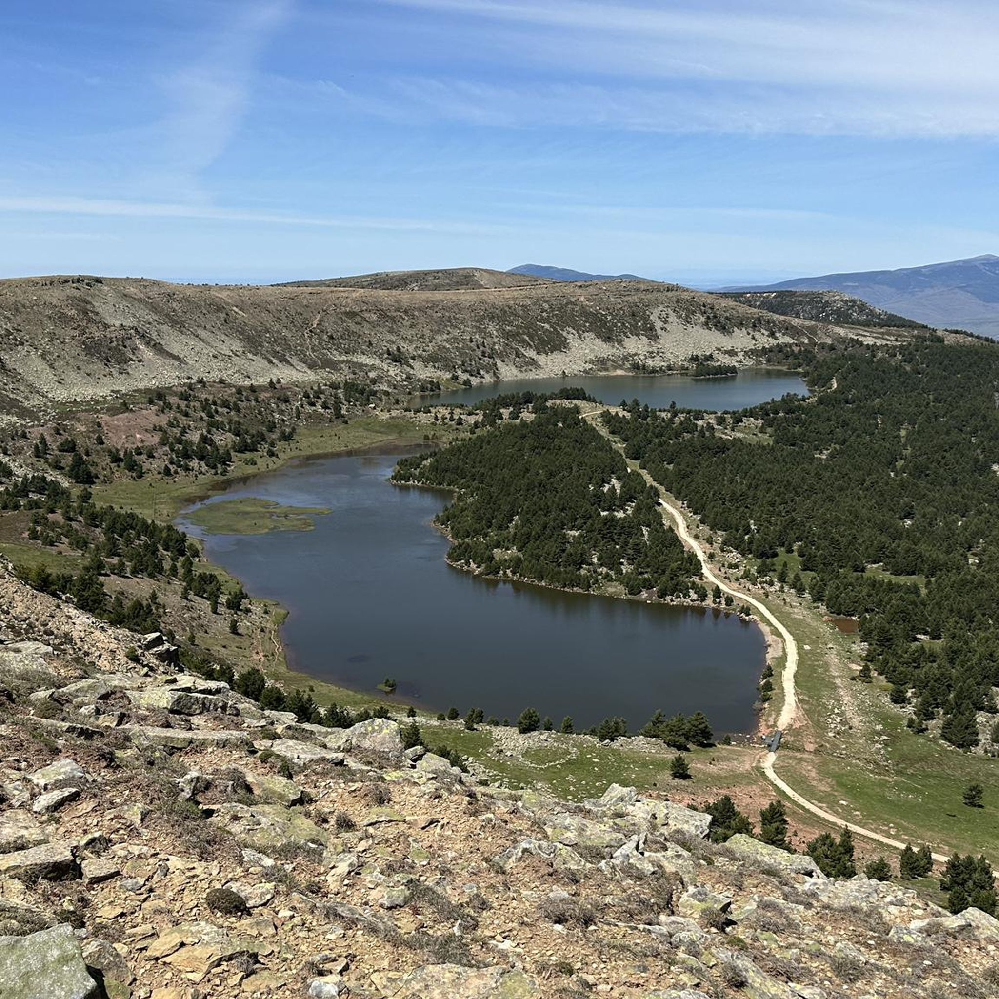
Hiking around Quintanar De La Sierra offers diverse terrain within the Sierra de la Demanda and the Parque Natural de las Hoces del Alto Ebro y Rudrón. The region is characterized by mountainous landscapes, extensive pine forests, and lacustrine areas. Notable features include impressive rock formations, river canyons, and high-altitude lagoons. The area provides a range of trails suitable for various experience levels.
Best hiking trails around Quintanar De La Sierra
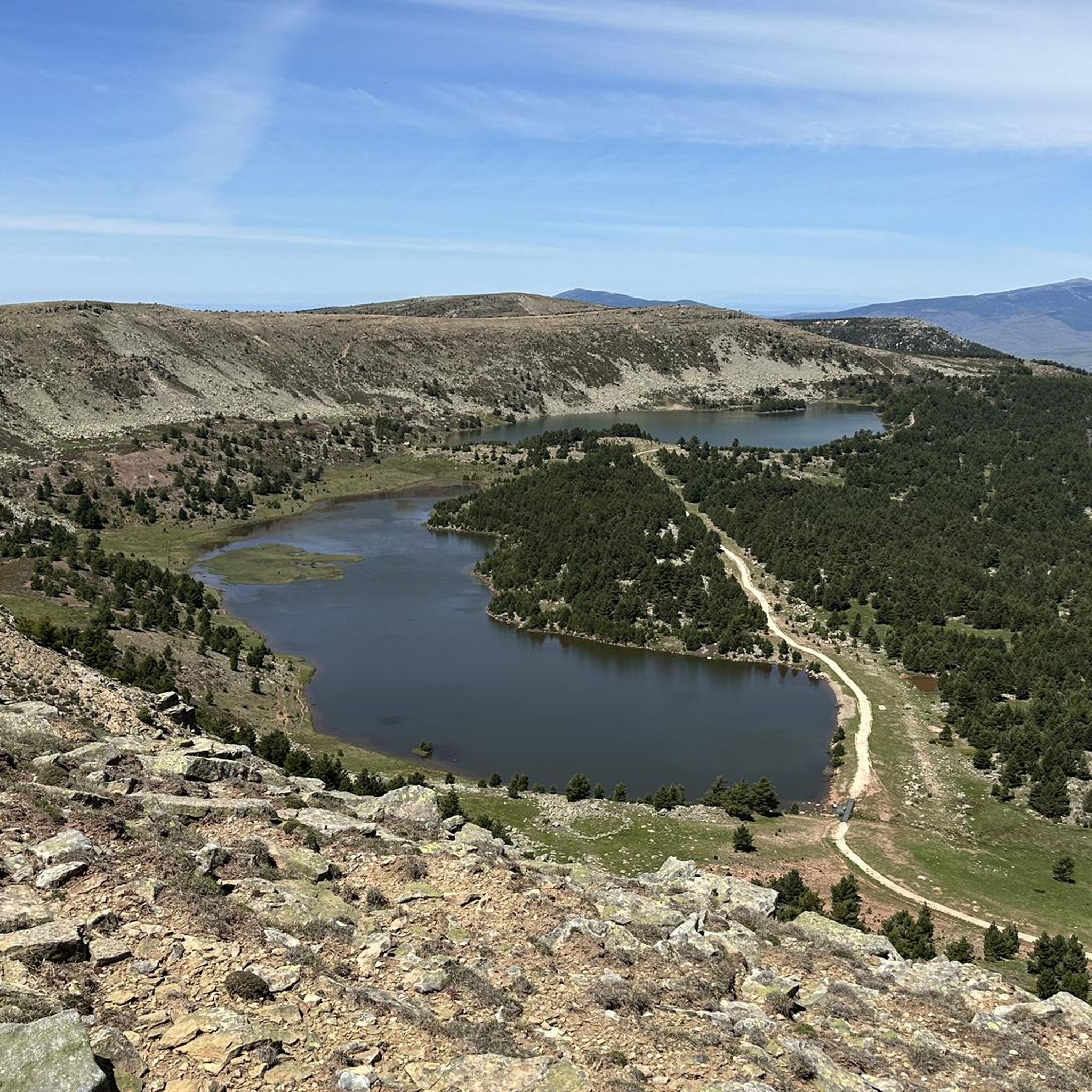
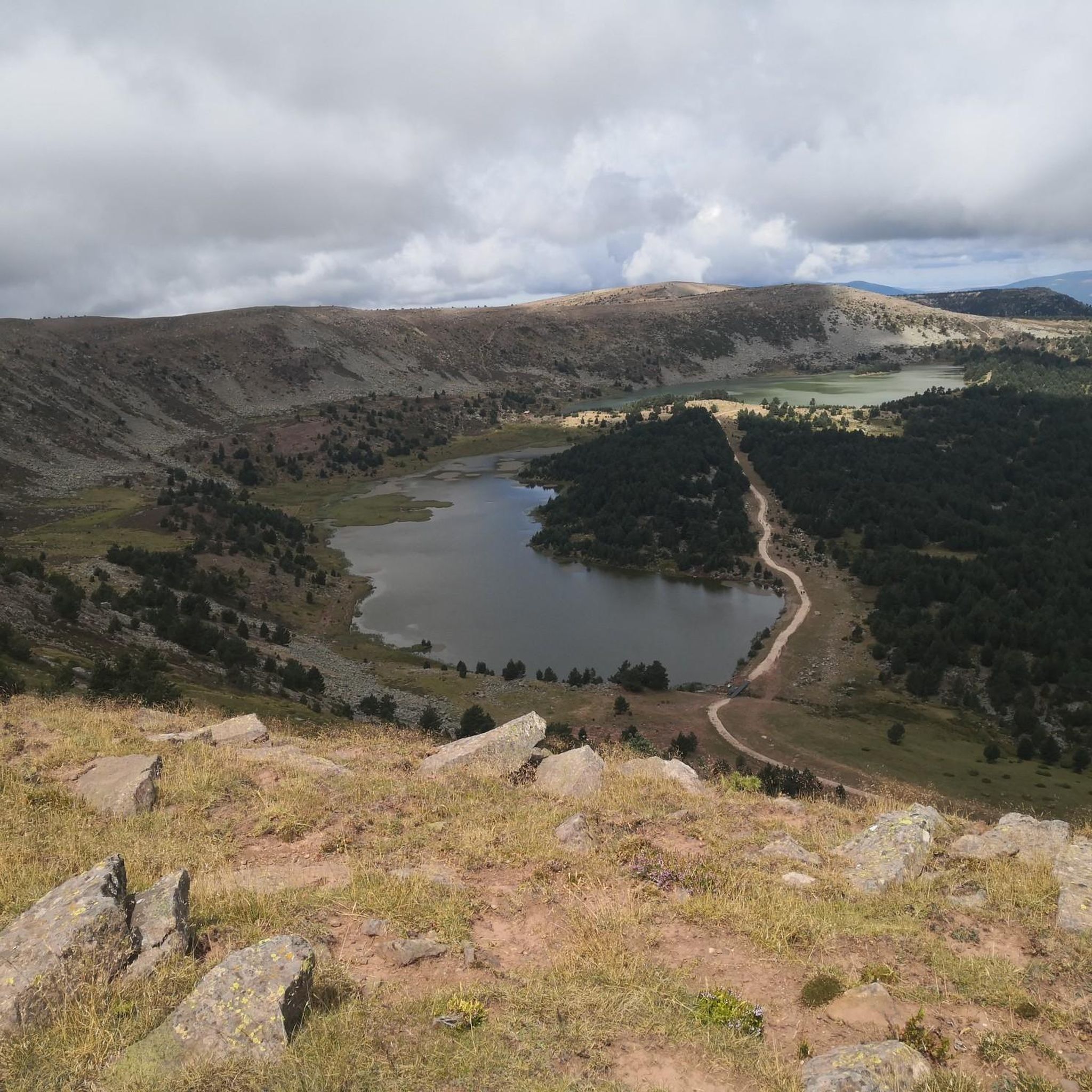
- The most popular hiking route is Lagunas de Neila Trail, a 5.0 miles (8.1 km) trail that takes 2 hours 41 minutes to complete. This moderate route explores the scenic lacustrine areas of the Sierra de la Demanda.
- Another top favourite among local hikers is Las Lagunas de Neila — circular by the Espacio Natural de la Sierra de la Demanda, a moderate 5.2 miles (8.4 km) path. This trail offers varied terrain within the natural space, including views of the lagoons.
- Local hikers also love the Trail of the Necropolises, a 10.6 miles (17.0 km) trail leading through pine and oak forests to an archaeological site, often completed in about 4 hours 41 minutes.
- Hiking around Quintanar De La Sierra is defined by mountainous terrain, extensive pine forests, and unique rock formations. The network offers options for different ability levels, from easy paths to more challenging ascents.
- The routes in Quintanar De La Sierra are highly rated by the komoot community with an average score of 4.6 stars from over 70 reviews. More than 600 hikers have used komoot to explore Quintanar De La Sierra's varied terrain.
Last updated: July 7, 2026
5.0
(2)
3
hikers
17.0km
04:42
290m
290m
Hike a moderate 10.6-mile loop through Espacio Natural de la Sierra de la Demanda, exploring ancient rock-cut tombs and hermitages.
4.5
(2)
25
hikers
17.8km
05:59
710m
710m
Hard hike. Very good fitness required. Mostly accessible paths. Sure-footedness required.

Sign up for free
4.0
(2)
19
hikers
8.06km
02:21
180m
180m
Hard hike. Good fitness required. Sure-footedness, sturdy shoes and alpine experience required.
5.0
(2)
10
hikers
8.97km
02:26
120m
120m
Moderate hike. Good fitness required. Easily-accessible paths. Suitable for all skill levels.
17
hikers
12.6km
03:58
510m
510m
Moderate hike. Good fitness required. Easily-accessible paths. Suitable for all skill levels.
Get access to more routes and recommendations from other explorers.
Sign up for free
Already have an account?
Our route recommendations are based on thousands of hikes, rides, and runs completed by other people on komoot.
Start today with a free account
Your next adventure awaits.
Login or Signup
Other adventures around Quintanar De La Sierra

Tips from the Community

A beautiful place where you can start your routes
0
0

Magnificent view of the lake and the untouched endless mountain landscape.
0
0
A nice area for activities.
0
0
Nice trail area
0
0

Laguna de la Cascada is part of the set of small lagoons of glacial origin of Lagunas de Neila, within the Natural Park of the Lagunas Glaciares de Neila. In the vicinity of the lagoon there is an information panel with interesting data on the flora and fauna.
1
0
Frequently Asked Questions
How many hiking trails are available in Quintanar De La Sierra?
Quintanar De La Sierra offers a wide selection of hiking opportunities, with over 50 routes recorded on komoot. These trails cater to various preferences, from leisurely strolls to more challenging ascents.
What kind of terrain can I expect on hikes around Quintanar De La Sierra?
The region is characterized by diverse terrain, including mountainous landscapes, extensive pine forests (especially Scots pine), and unique lacustrine areas. You'll encounter impressive rock formations, river canyons, and high-altitude lagoons, particularly in areas like the Sierra de la Demanda and the Parque Natural de las Hoces del Alto Ebro y Rudrón.
Are there any easy or family-friendly hiking options in Quintanar De La Sierra?
Yes, Quintanar De La Sierra offers several easy trails suitable for families and beginners. For instance, the region research mentions a 'Family Route' around a nearby reservoir. Overall, 11 of the available routes are classified as easy, providing gentle paths to enjoy the natural beauty.
What are some notable natural features or landmarks to see while hiking?
Hikers can discover several impressive natural features. The Laguna Larga is a beautiful glacial lagoon. You might also encounter the picturesque Cascada de El Chorlón waterfall and the unique karstic landscape of Las Calderas, which features a series of captivating waterfalls, caves, and lakes. For panoramic views, consider the path leading to the Ermita Virgen del Monte.
Are there any historical sites accessible via hiking trails?
Yes, for those interested in history, the Trail of the Necropolises leads to the Necrópolis de Cuyacabras. This archaeological site, surrounded by pines and oaks, features 166 anthropomorphic tombs and 13 niches carved into the rock, dating back to the Early Middle Ages.
What is the best time of year to go hiking in Quintanar De La Sierra?
Quintanar De La Sierra is suitable for hiking across various seasons. The region's diverse landscapes, from forests to high-altitude areas, offer different experiences. Spring and autumn generally provide pleasant temperatures and vibrant scenery, while summer is ideal for exploring higher elevations like Pico de Urbión. Winter hikes can be beautiful, especially in the pine forests, but may require appropriate gear for snow and ice.
Are there any circular hiking routes available?
Yes, the region offers circular routes. A notable example is Las Lagunas de Neila — circular by the Espacio Natural de la Sierra de la Demanda, which provides varied terrain and views of the lagoons. The Ruta Circular por las Peñas (PR-CV 21) also winds through lush forests and striking rocky areas.
What do other hikers say about the trails in Quintanar De La Sierra?
The hiking routes in Quintanar De La Sierra are highly regarded by the komoot community, holding an average rating of 4.6 stars from over 70 reviews. Hikers frequently praise the diverse terrain, from extensive pine forests to unique rock formations, and the well-maintained paths that cater to different ability levels.
Are there any challenging hikes for experienced trekkers?
Absolutely. For experienced hikers, there are 14 difficult routes available. The region's mountainous terrain, including ascents to peaks like Pico de Urbión (2,228 meters), offers demanding trails with significant elevation changes and rewarding views. An example is the Pico de la Laguna (2004m) – Campiña loop from Puerto El Collado, a difficult 17.8 km route.
Can I find places to eat or stay near the hiking trails?
Quintanar De La Sierra is a charming village that offers amenities for visitors. While specific cafes or accommodations directly on trails are not detailed, the village itself provides options for dining and rural accommodation, making it a convenient base for exploring the surrounding hiking areas.
Are there any trails that feature waterfalls?
Yes, the region is home to several beautiful waterfalls. You can discover the picturesque Cascada de El Chorlón, and the unique karstic landscape of Las Calderas features a series of captivating waterfalls. Additionally, hikers ascending towards Pico de Urbión may encounter the scenic waterfall of the Arroyo de La Laguna.
What is the highest point I can reach on a hike in the area?
The highest point you can reach in the immediate area is Pico de Urbión, standing at 2,228 meters in the Sierra de Urbión. This peak offers superb photographic opportunities and is also close to the source of the Duero River.
Most popular routes around Quintanar De La Sierra
Most popular attractions around Quintanar De La Sierra

Get inspired with the komoot mobile app


Explore more
Browse the best Hikes in other regions.
