The best road cycling routes around Artenara
4.6
(88)
4,047
riders
57
rides
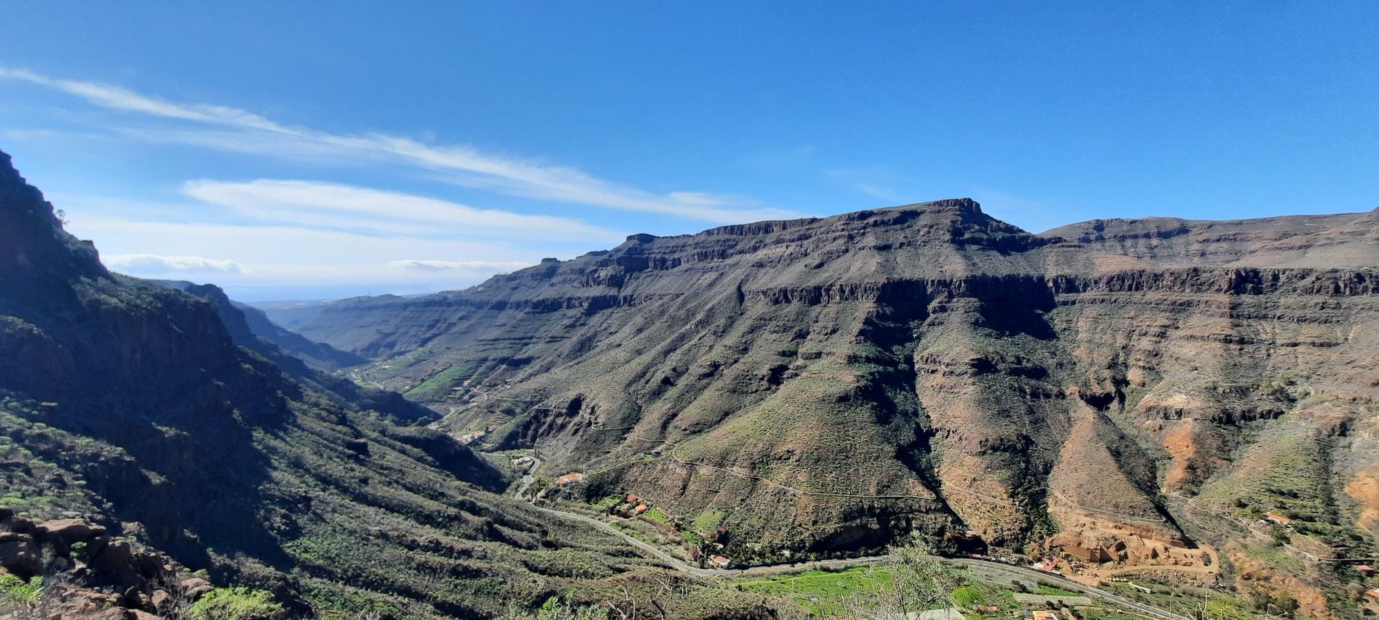
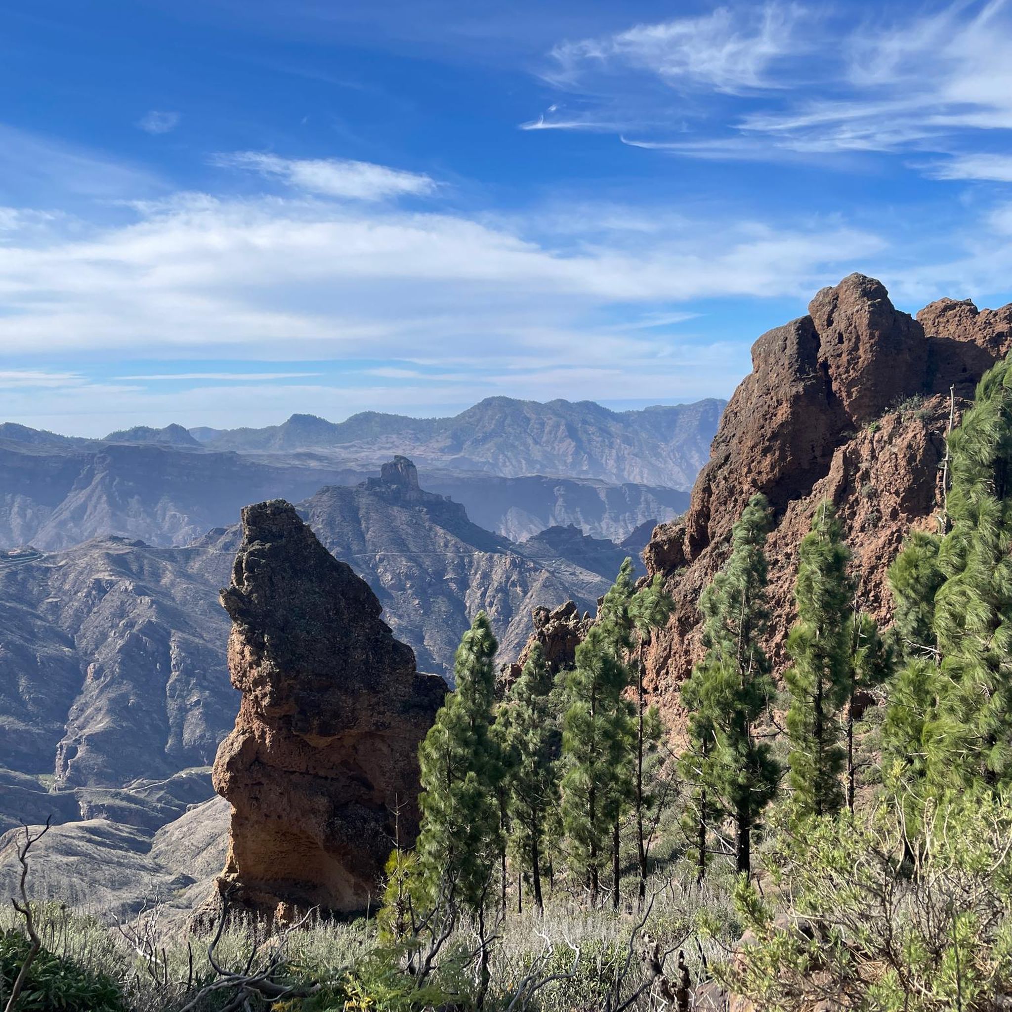
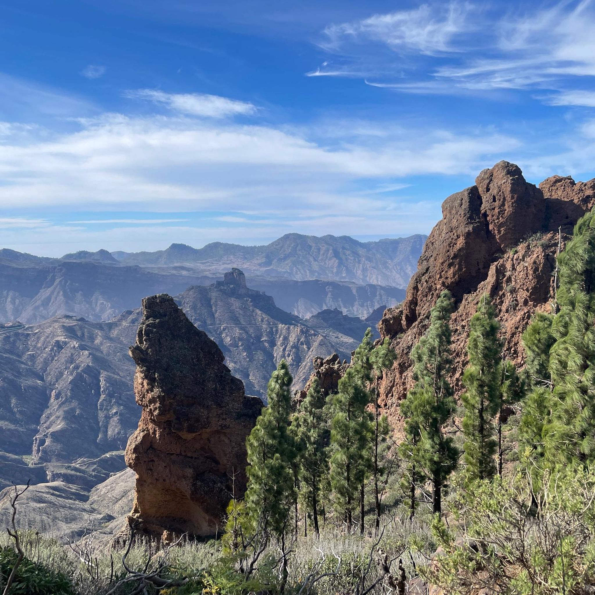
Road cycling routes around Artenara traverse a rugged, mountainous landscape characterized by deep ravines and volcanic formations. The region features significant elevation gain, offering challenging road cycling climbs Artenara. Riders can expect winding roads through varied terrain, often providing scenic viewpoints Artenara cycling across the central highlands of Gran Canaria.
Best road cycling routes around Artenara
- The most popular road cycling route is View of Ayacata – Tejeda loop from Tejeda, a 36.5 miles (58.8 km) trail that takes…
Last updated: October 20, 2026
4.3
(9)
303
riders
56.5km
03:30
1,560m
1,560m
Hard road ride. Very good fitness required. Mostly well-paved surfaces and easy to ride.
4.8
(5)
129
riders
55.8km
03:57
1,890m
1,890m
Hard road ride. Very good fitness required. Mostly well-paved surfaces and easy to ride.

5.0
(3)
111
riders
68.5km
04:13
1,890m
1,890m
Hard road ride. Very good fitness required. Mostly well-paved surfaces and easy to ride.
35
riders
51.4km
03:00
1,230m
1,230m
Hard road ride. Very good fitness required. Mostly well-paved surfaces and easy to ride.
4.0
(1)
28
riders
87.7km
05:54
2,530m
2,530m
Hard road ride. Very good fitness required. Some segments of this route may be unpaved and difficult to ride.
Get access to more routes and recommendations from other explorers.
Already have an account?
Our route recommendations are based on thousands of hikes, rides, and runs completed by other people on komoot.
Start today with a free account
Your next adventure awaits.

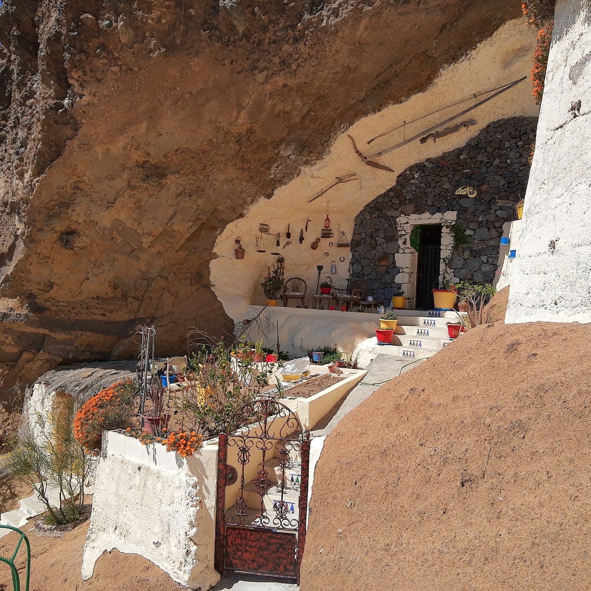




Tips from the Community

Little traffic, road between ravines without steep slopes, green
0
0

Very nice Sunday market. At forty-two degrees Celsius, not too crowded either.
0
0

Currently closed. Located directly at the actual entrance from the GC-210, with a fence. As of the end of February 2026.
0
0

A brutal climb. I've done quite a few tours in the Pyrenees and Alps, but the ramps of the GC-606 are really on another level. I started from Puerto Rico and also included Pico de las Nieves. I got sick the day after the tour.
1
0

Anyone wishing to visit the market on Sunday should arrive by 8:00 a.m.
0
0

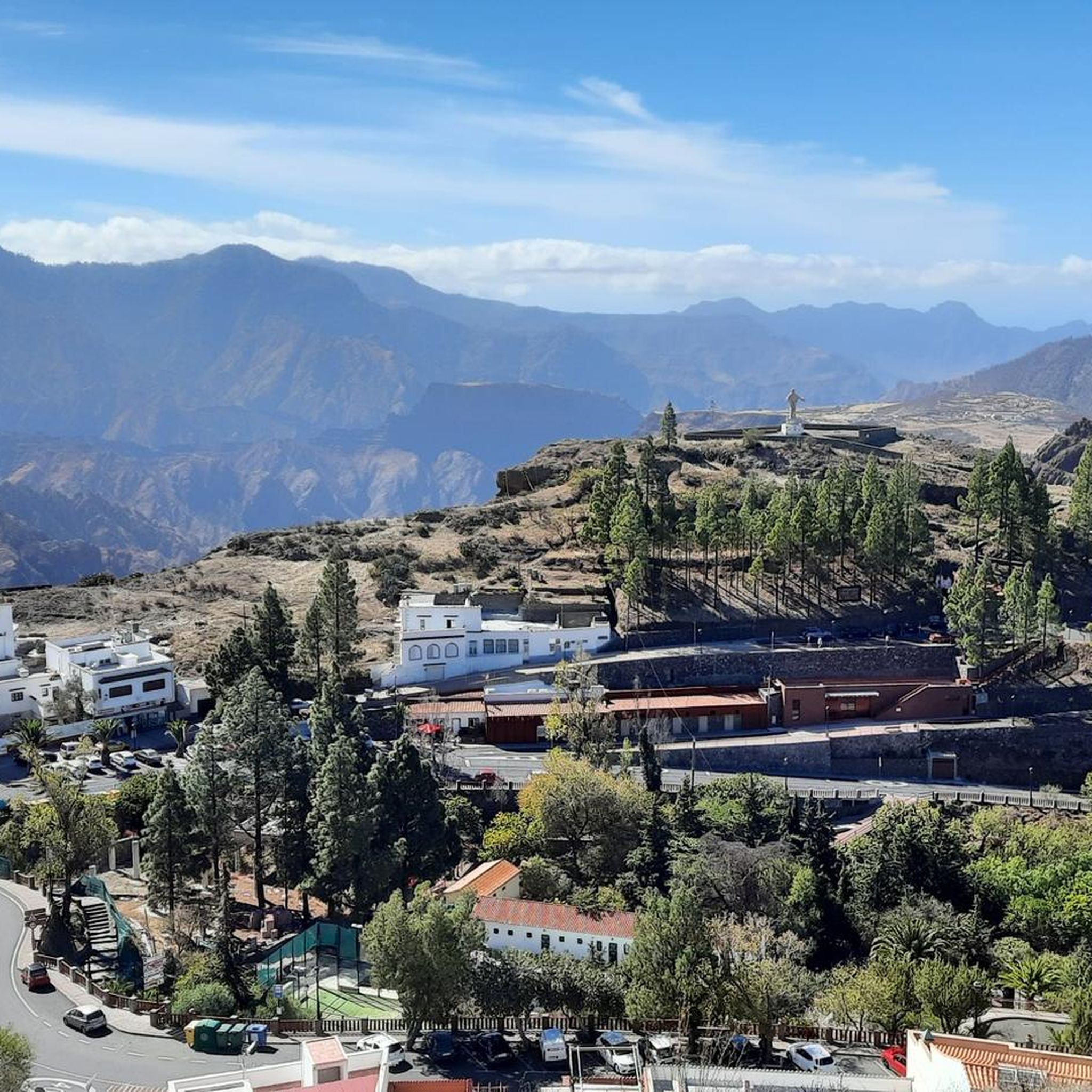
Very picturesque mountain village, if you are not in a hurry you should take a coffee break here.
0
0
I can only agree with the title: the finest surface, relatively little traffic, and an averagely manageable gradient! Definitely give it a go! It was also quite green there in March 2025.
0
0
goes downhill with a gradient of around 12% on super asphalt (2025, March)
0
0
Frequently Asked Questions
How many road cycling routes are available around Artenara?
Artenara offers a substantial network of over 45 road cycling routes. These routes are predominantly challenging, with 17 classified as moderate and 32 as difficult, catering to experienced cyclists seeking significant elevation gains.
What kind of terrain can I expect on road cycling routes in Artenara?
Road cycling routes around Artenara traverse a rugged, mountainous landscape characterized by deep ravines and volcanic formations. You can expect winding roads through varied terrain, often providing scenic viewpoints across the central highlands of Gran Canaria.
Are there challenging climbs for experienced road cyclists in Artenara?
Yes, Artenara is renowned for its challenging road cycling climbs. The region features significant elevation gain, with many routes designed for experienced cyclists. For example, the Views of Roque Bentayga – Tejeda loop from Tejeda includes nearly 1,900 meters of ascent over 55.8 km.
Are there any beginner-friendly road cycling routes in Artenara?
The road cycling routes in Artenara are generally geared towards moderate to difficult ability levels due to the mountainous terrain and significant elevation changes. There are no routes specifically classified as easy, but some moderate options exist, such as the View of Roque Nublo – View of Hoya del Gamonal loop from Tejeda, which is shorter with less overall climbing.
What are some notable landmarks or scenic viewpoints along the road cycling routes?
The routes offer numerous scenic viewpoints. You can pass by iconic landmarks like Roque Bentayga and Roque Nublo. Additionally, you can explore mountain passes such as Cruz de Tejeda or enjoy the dramatic GC-605 Mountain Switchbacks. The Degollada de la Cruz Grande Viewpoint also offers stunning vistas.
Are there any loop routes for road cycling in Artenara?
Yes, many road cycling routes in Artenara are designed as loops, allowing you to start and finish in the same location. Examples include the popular View of Ayacata – Tejeda loop from Tejeda and the Views of Roque Bentayga – View of Ayacata loop from Tejeda.
What is the best season for road biking in Artenara?
Gran Canaria, including Artenara, generally offers pleasant cycling conditions year-round due to its mild climate. However, the cooler months from October to May are often preferred by cyclists to avoid the peak summer heat, especially when tackling significant climbs.
Where can I find parking for road biking trails in Artenara?
Parking is typically available in the main towns and villages, such as Artenara or Tejeda, which serve as common starting points for many routes. It's advisable to check specific route descriptions for detailed parking information near your chosen starting point.
Are there any road closures or specific road conditions I should be aware of, like the GC-606?
Mountain roads in Gran Canaria can occasionally experience closures due to weather conditions, maintenance, or events. While the GC-606 is not directly within the Artenara guide's routes, it's always recommended to check local road authority websites or news for current conditions before heading out, especially during adverse weather.
What do other road cyclists enjoy most about cycling in Artenara?
The road cycling experience in Artenara is highly rated by the komoot community, with an average score of 4.6 stars from over 90 reviews. Cyclists frequently praise the dramatic volcanic landscapes, challenging ascents, and the panoramic views offered across the central highlands.
Can I find places for cafe stops or refreshments along the road cycling routes?
While the routes traverse a rugged and sometimes remote landscape, you will typically find opportunities for cafe stops and refreshments in the villages and towns along the way, such as Tejeda or Artenara itself. Planning your route to pass through these settlements is recommended for breaks.
Most popular attractions around Artenara

Get inspired with the komoot mobile app


Explore more
Browse the best Road cycling routes in other regions.
